Elevation of E Francis St, Ironwood, MI, USA
Location: United States > Michigan > Gogebic County > Ironwood >
Longitude: -90.168917
Latitude: 46.462278
Elevation: 450m / 1476feet
Barometric Pressure: 96KPa
Elevation Map:
Satellite Map:
Related Photos:
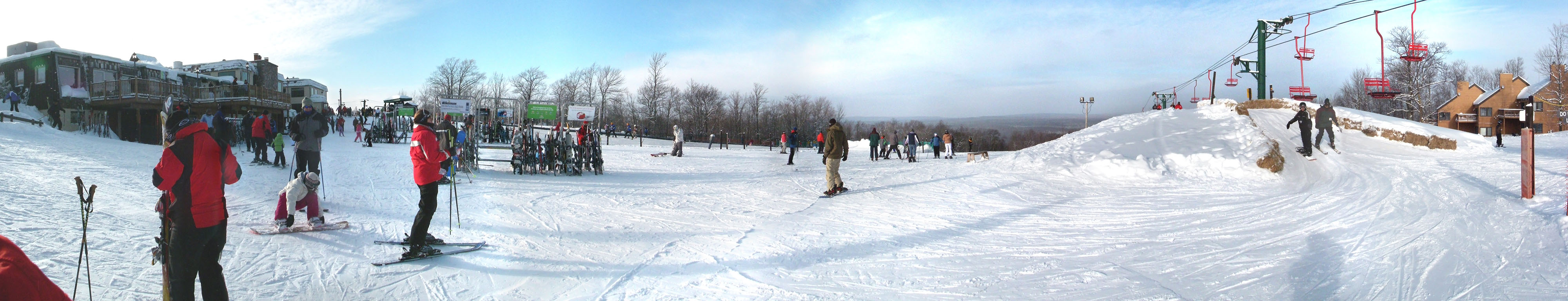
Indianhead Mountain, Mi - top - panoramic
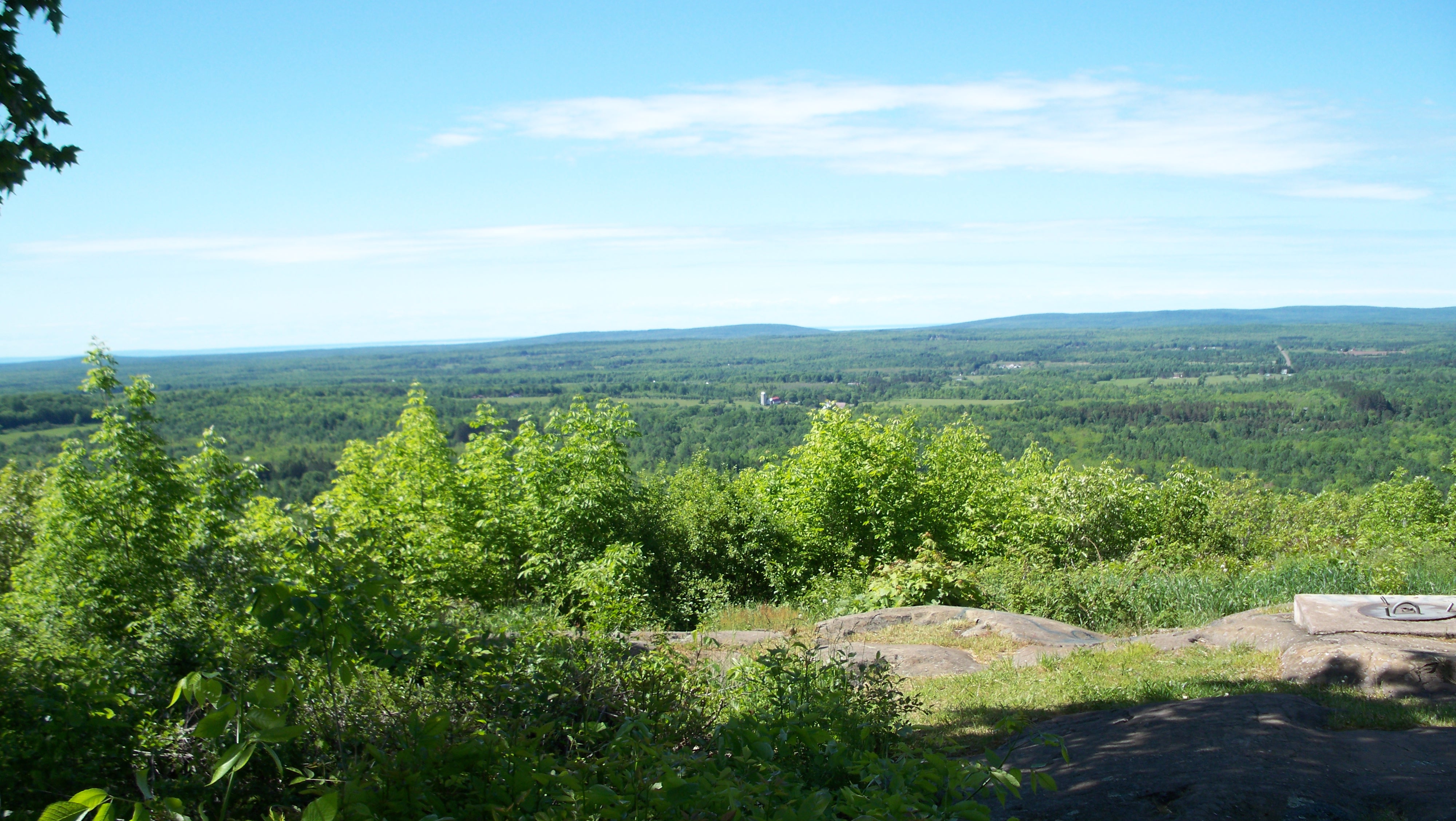
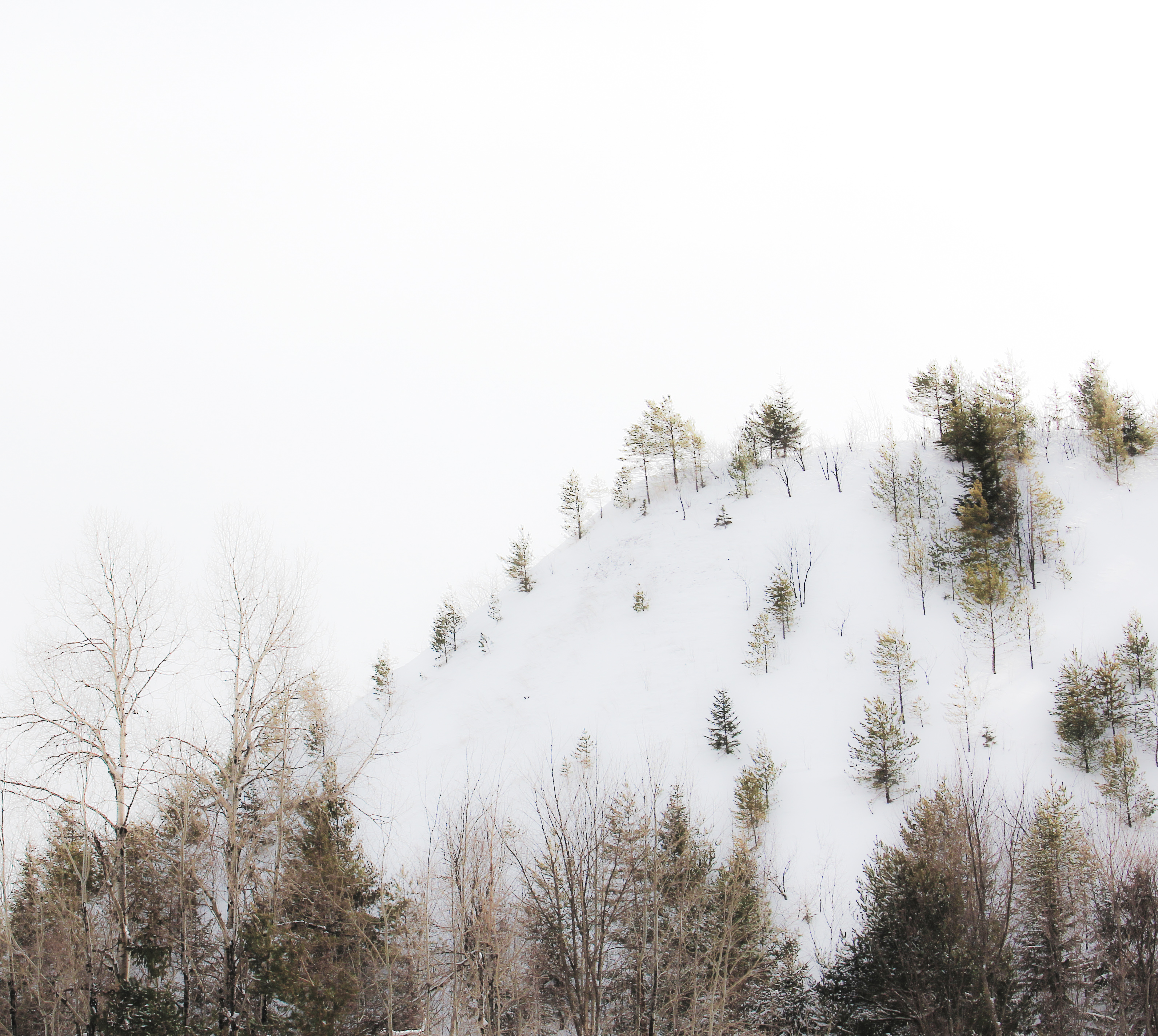
Views from Mt. Zion overlook Ironwood,MI
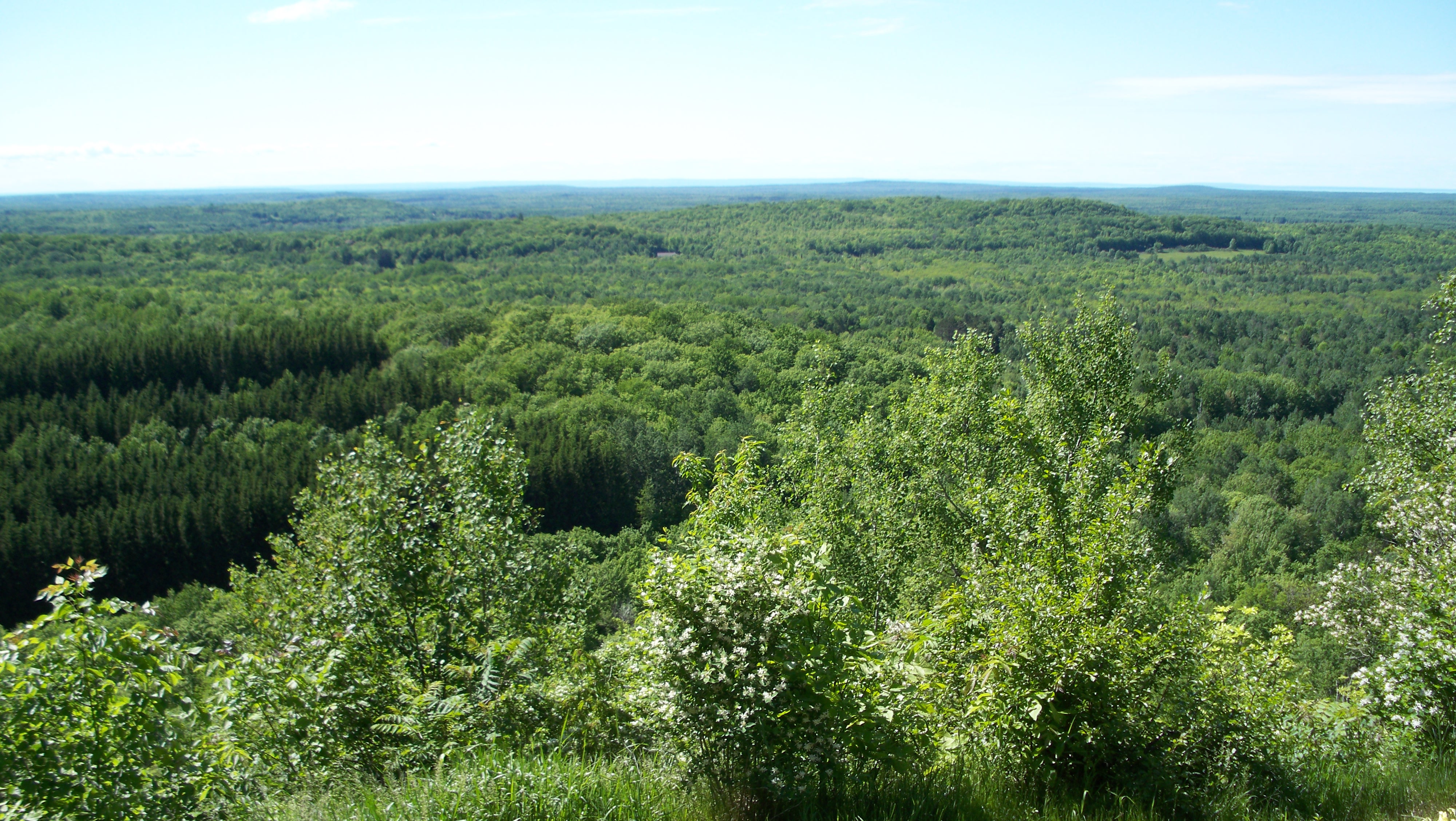
Views from Mt. Zion overlook Ironwood,MI

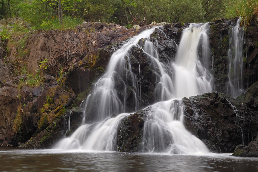
Gabbro Falls

Gabbro Falls

Gabbro Falls (top)

Gabbro Falls (top)

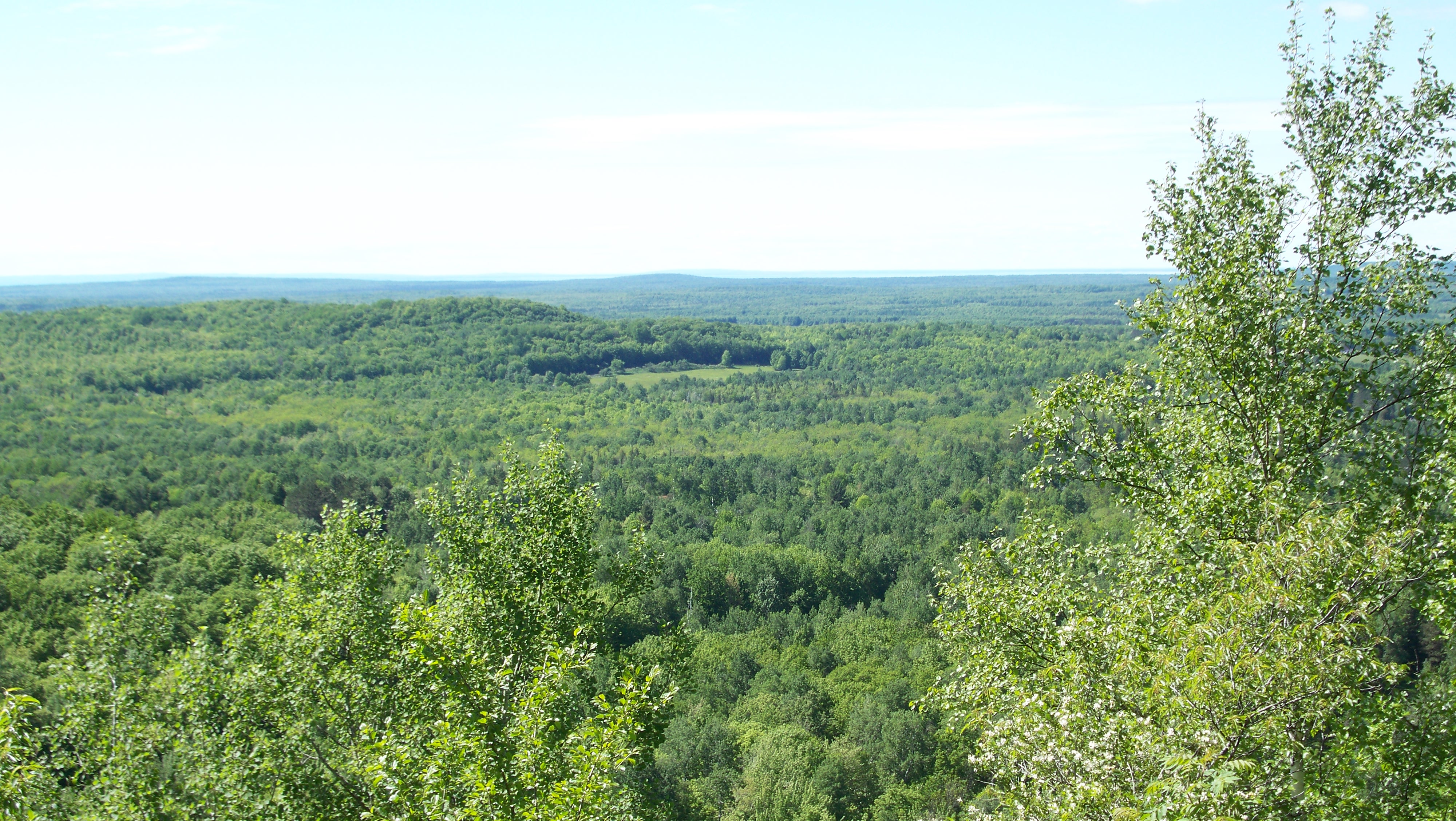
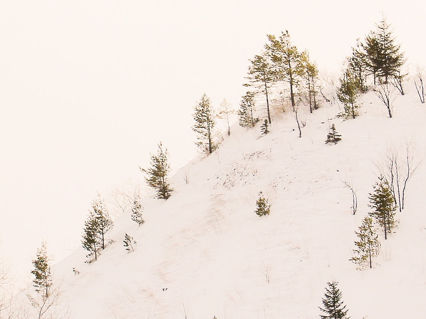
Views from Mt. Zion overlook Ironwood,MI
Views from Mt. Zion overlook Ironwood,MI

Copper Peak Ski Flying Hill 06-15-2011
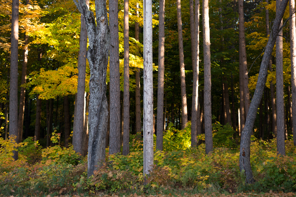
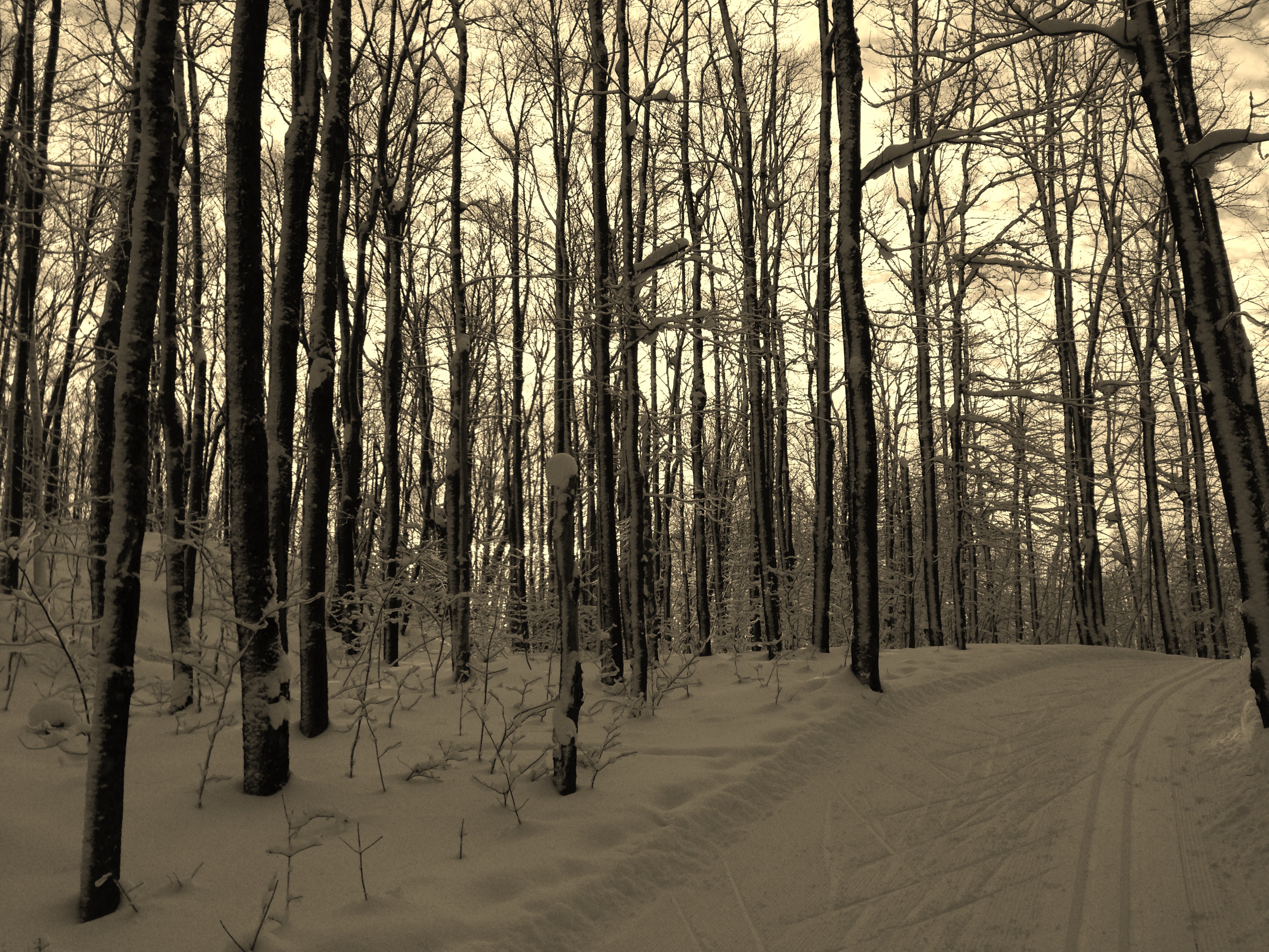
three quarter season
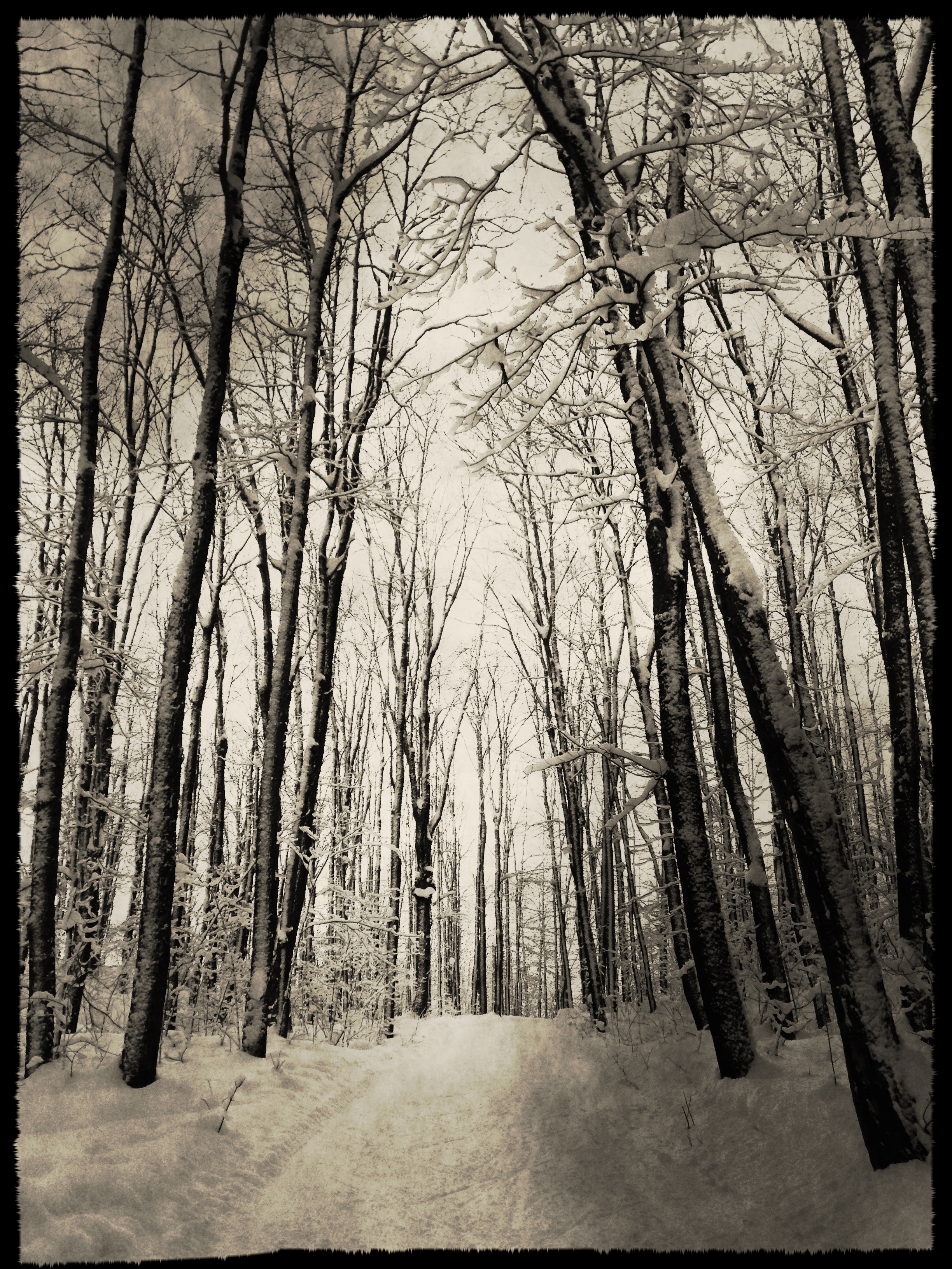
highlands winter

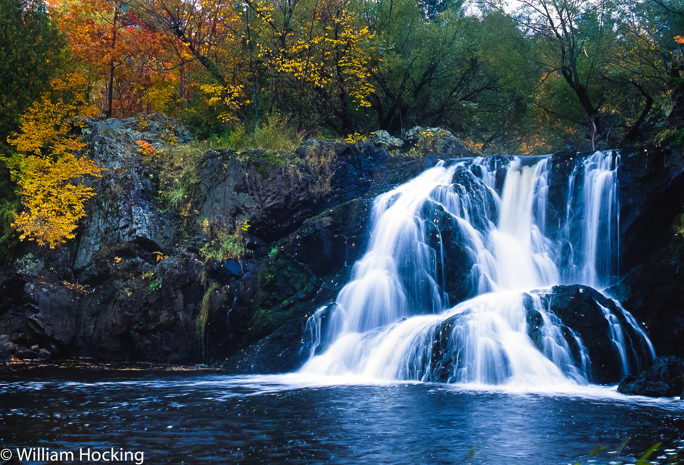
Peterson Falls HDR #2
Peterson Falls #4
Worlds Collide

IMG_0523-EFFECTS
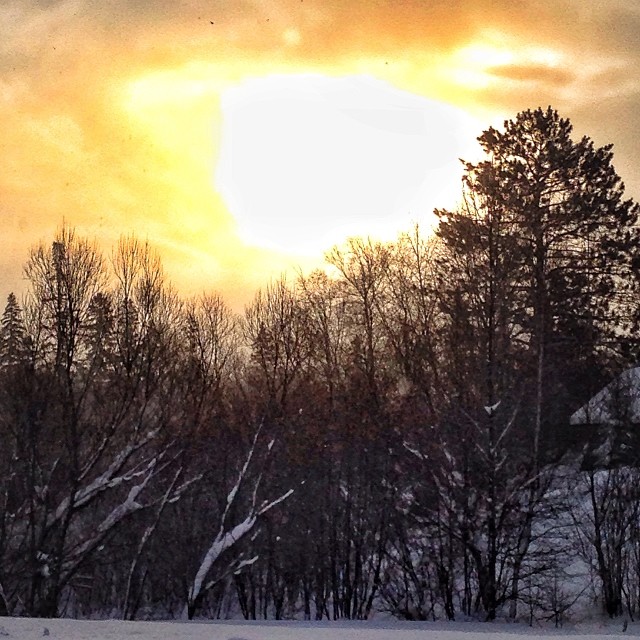
Day 348/365 | #The_sky on this freezing Northwoods morning. #projectlife365

Spring Camp Falls
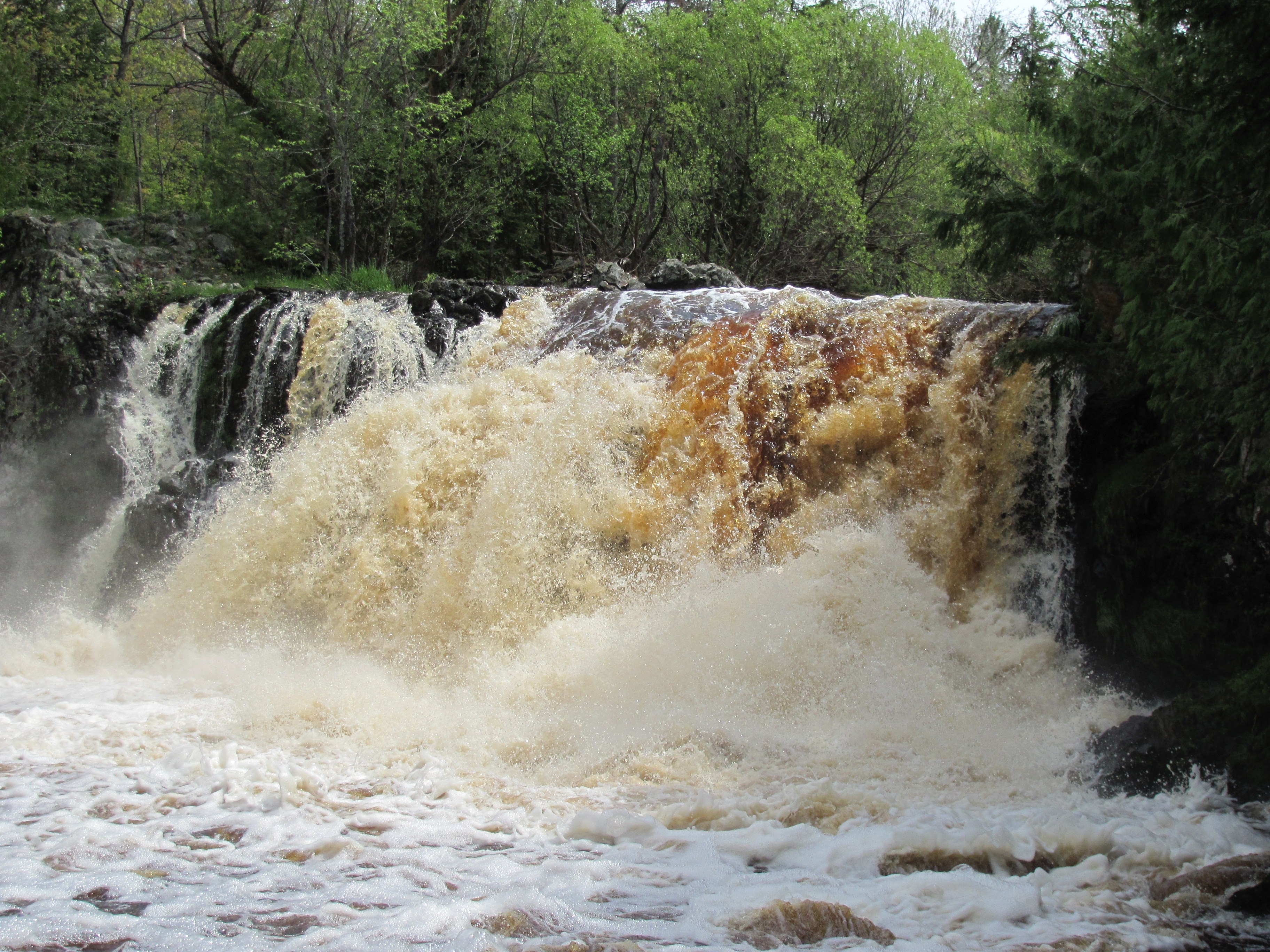
Raging River!!

Peterson Falls #1

Peterson Falls #2
Interstate Falls
Montreal River in Hurley
Wolverine skiing

Last paddle on the Gile
Lake Michele (La Blonde Flowage 1)

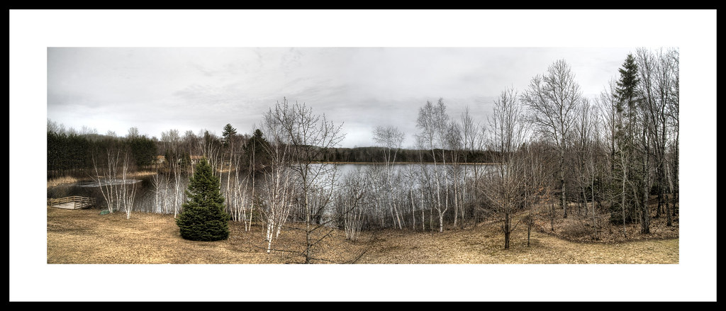
Highland Highlights

Rainbow over the Gile
Wolverine skiing
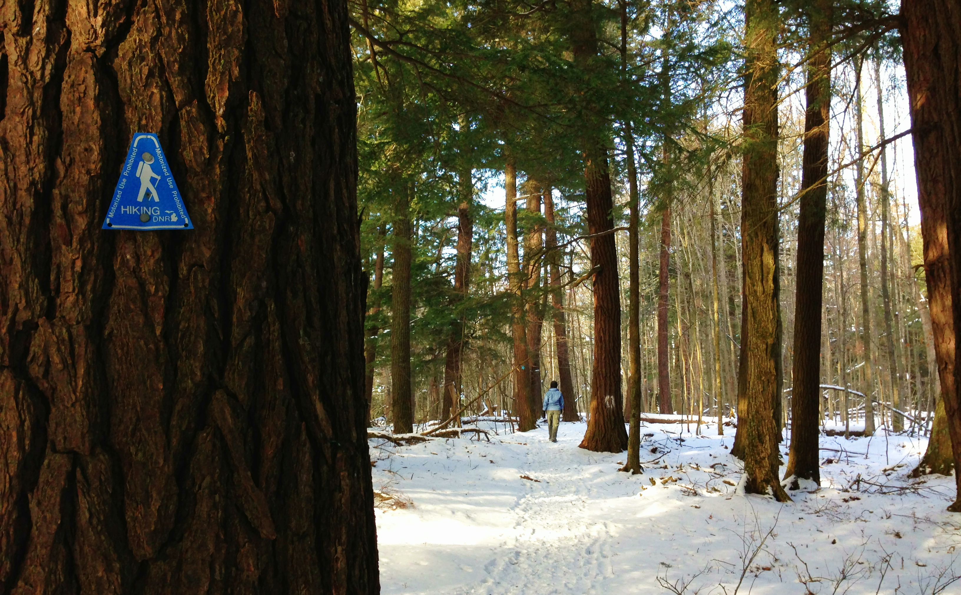
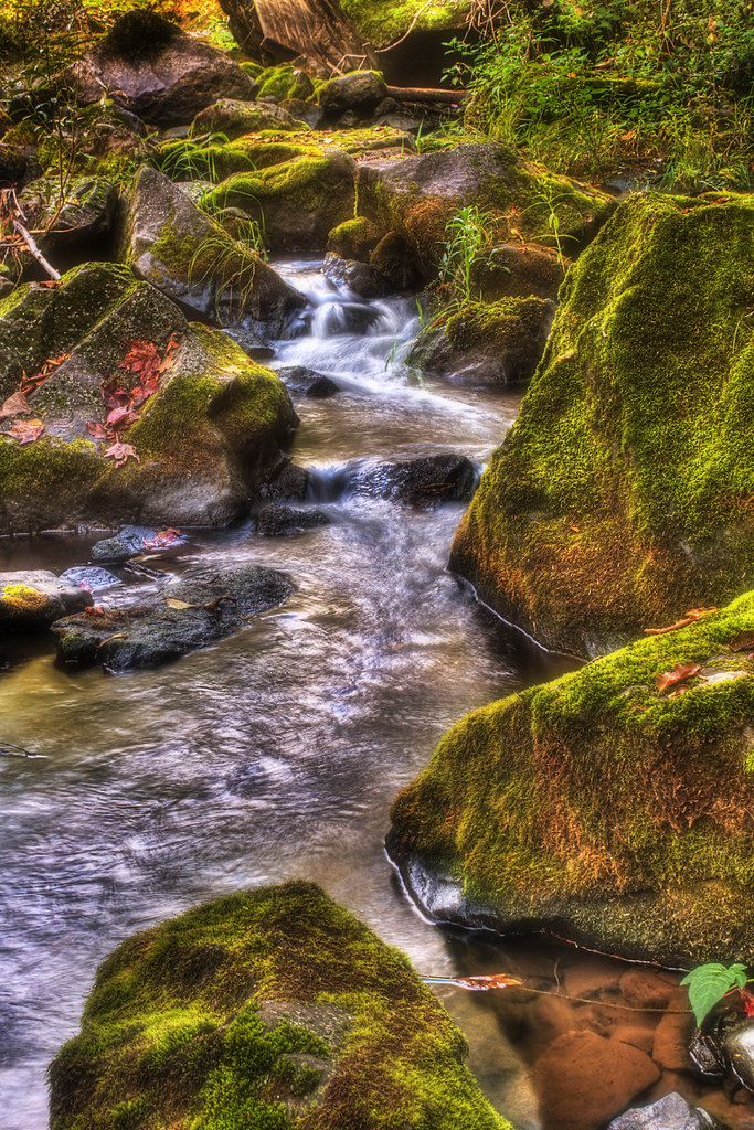
North woods hikin'.

Annie's Island, Gile Flowage, Iron County, WI
Topographic Map of E Francis St, Ironwood, MI, USA
Find elevation by address:

Places near E Francis St, Ironwood, MI, USA:
Ironwood
218 S Suffolk St
115 W Pine St
518 E Houk St
503 E Oak St
5178 Sunset Rd
E5054 Sunset Rd
100 S West St
115 Wisconsin Ave
Montreal
Ironwood Township
Bessemer
Sandene Road
E7847
Whitecap Mountains
Ashland County
Dorothy Rd, Marengo, WI, USA
Marengo
Capser Rd, La Pointe, WI, USA
White River
Recent Searches:
- Elevation of Brownsdale Rd, Renfrew, PA, USA
- Elevation of Corcoran Ln, Suffolk, VA, USA
- Elevation of Mamala II, Sariaya, Quezon, Philippines
- Elevation of Sarangdanda, Nepal
- Elevation of 7 Waterfall Way, Tomball, TX, USA
- Elevation of SW 57th Ave, Portland, OR, USA
- Elevation of Crocker Dr, Vacaville, CA, USA
- Elevation of Pu Ngaol Community Meeting Hall, HWHM+3X7, Krong Saen Monourom, Cambodia
- Elevation of Royal Ontario Museum, Queens Park, Toronto, ON M5S 2C6, Canada
- Elevation of Groblershoop, South Africa