Elevation of Upson, WI, USA
Location: United States > Wisconsin > Iron County > Anderson >
Longitude: -90.406806
Latitude: 46.3689809
Elevation: 456m / 1496feet
Barometric Pressure: 96KPa
Elevation Map:
Satellite Map:
Related Photos:

three quarter season
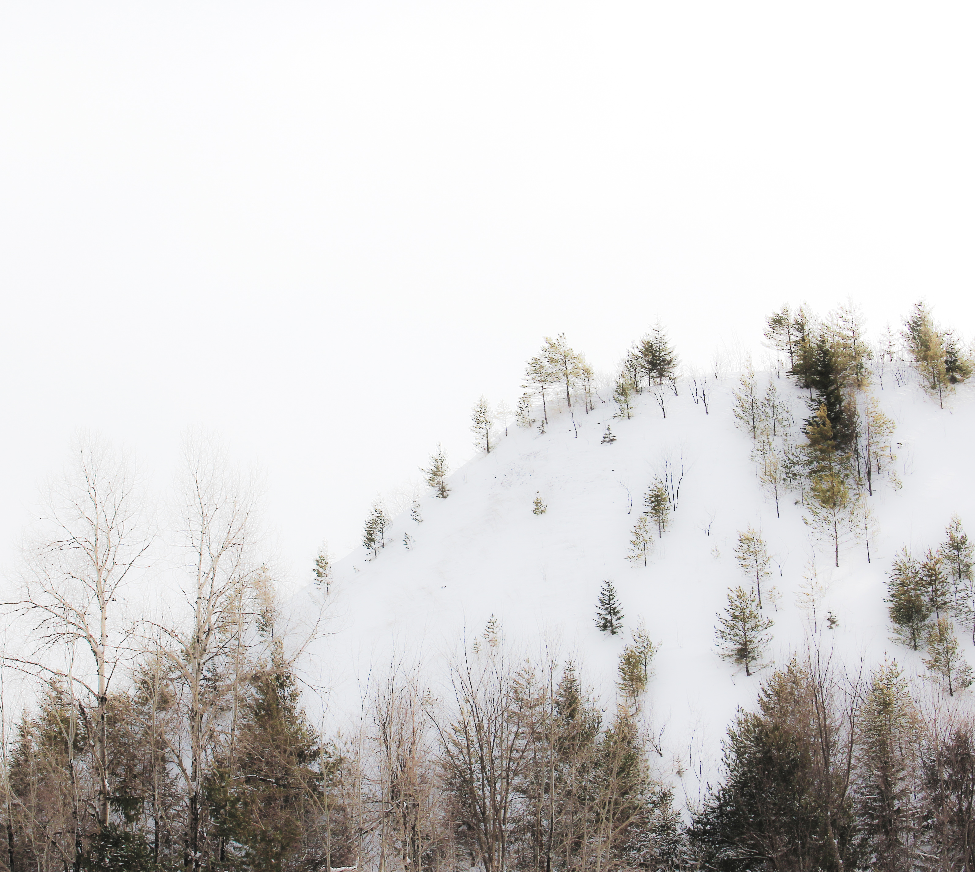
highlands winter
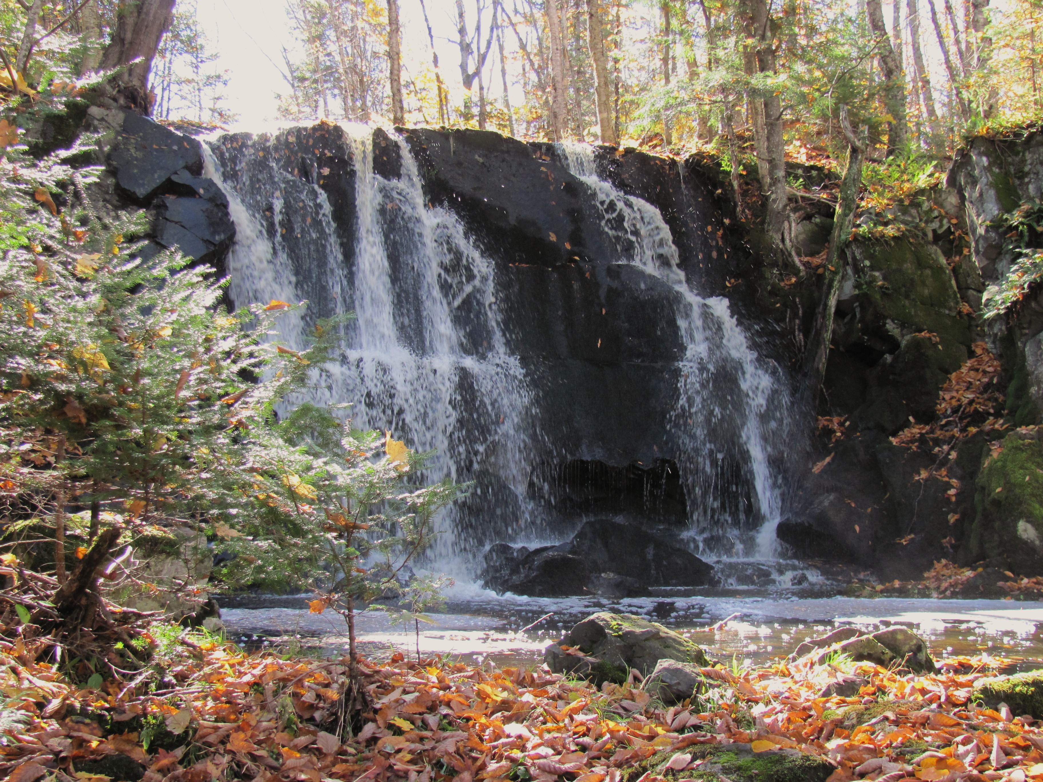
Rouse Falls in the Fall
With Gravy
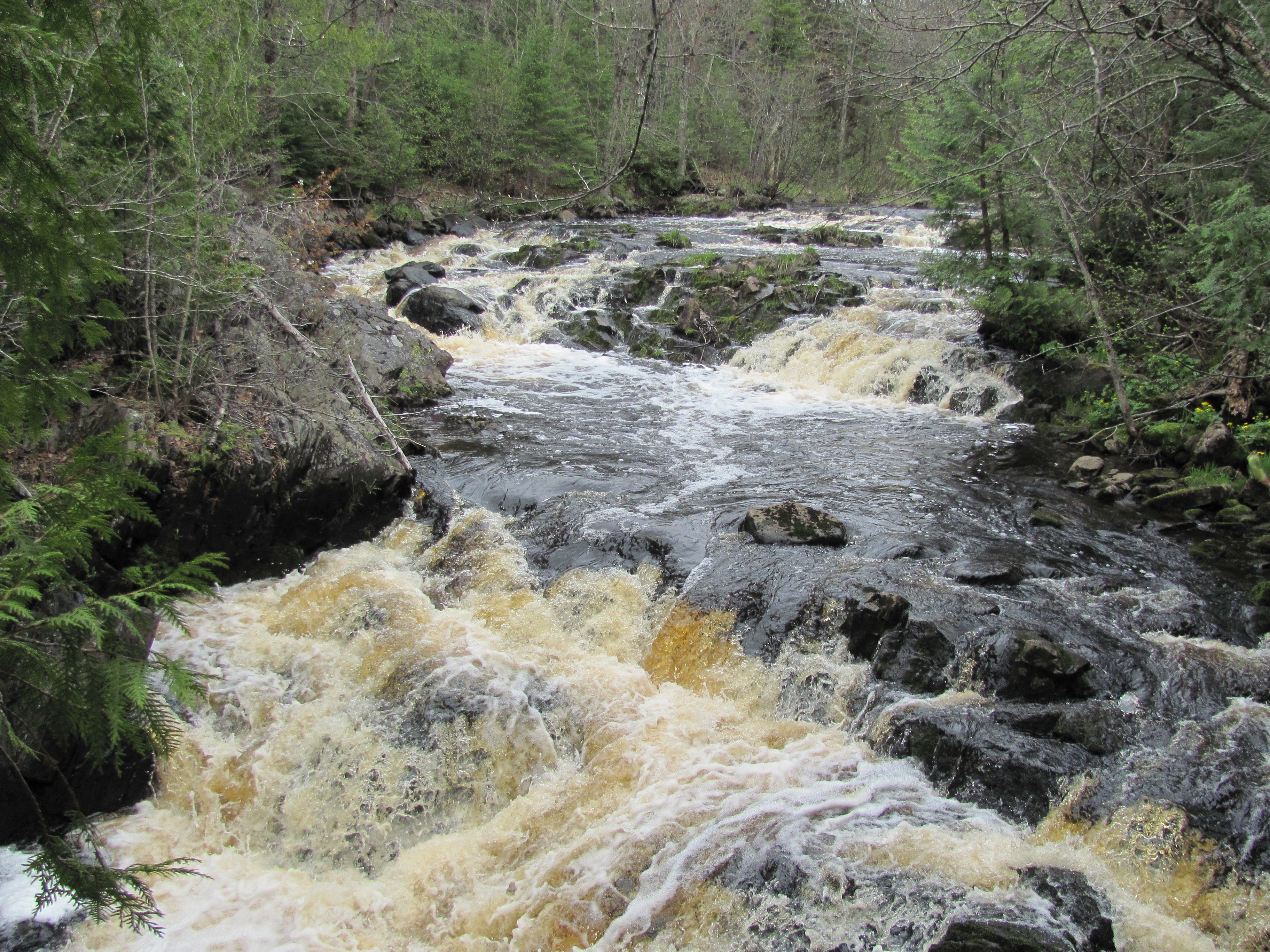
Running Water

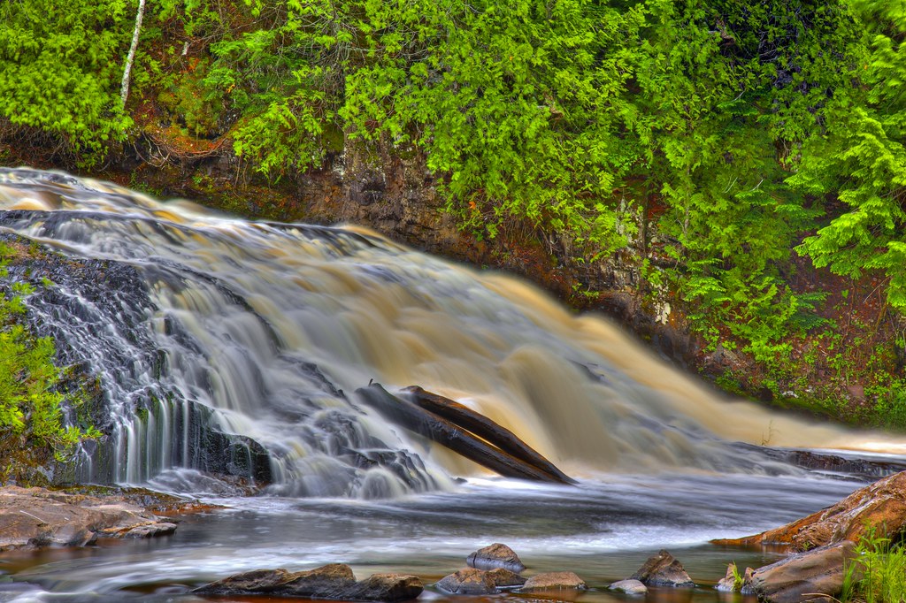
Upson Falls 10-01-10
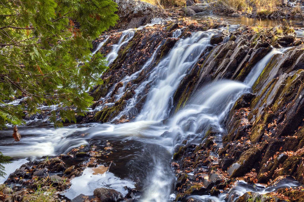
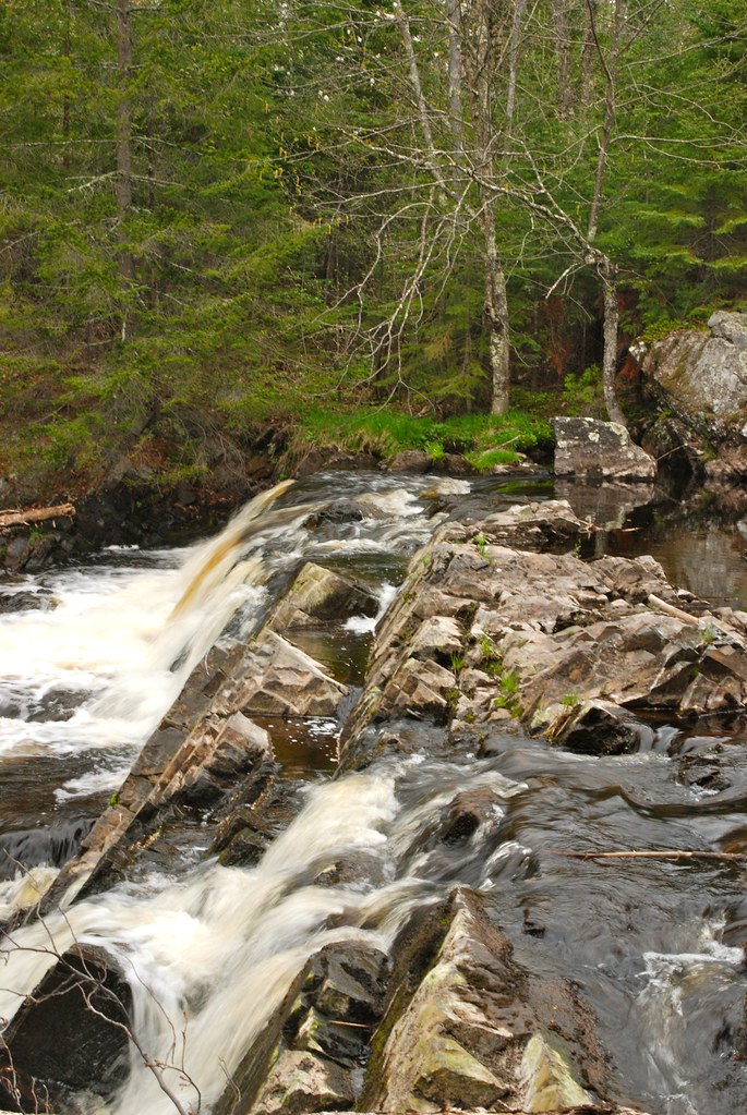
Upson Falls 10-07-11
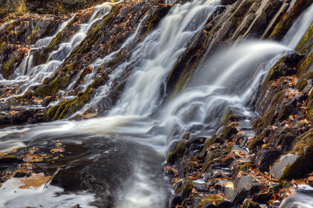
Upson Falls 10-07-11

Upson Falls 10-07-11
Upson Falls 10-01-10

Worlds Collide

Upson Falls 10-07-11
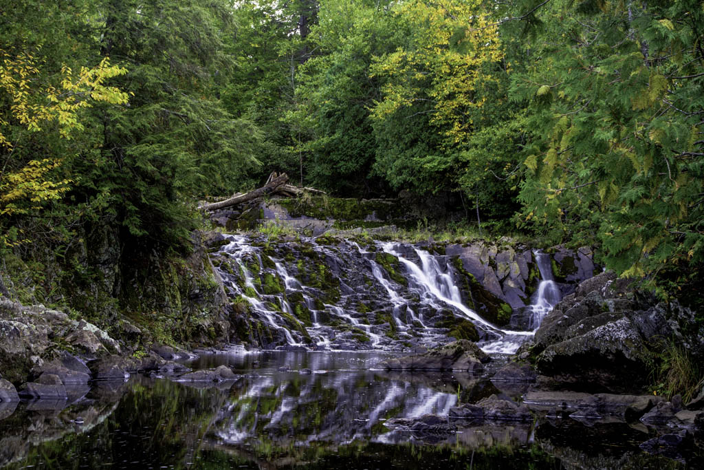
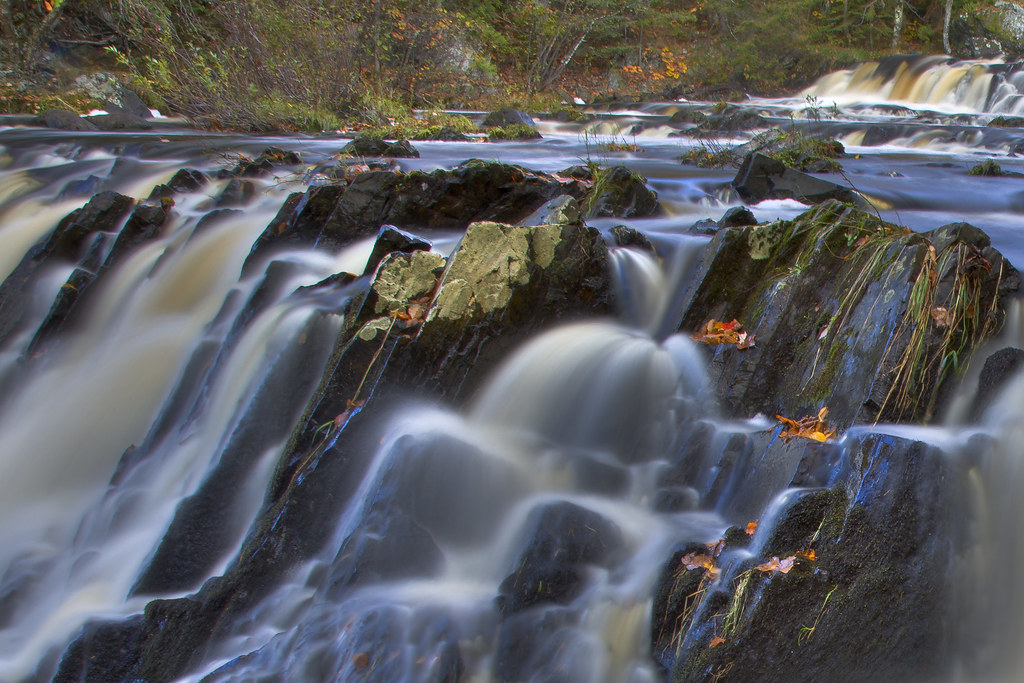
24 Tyler Forks Dells

Group Gathers around Prospective Test Hole
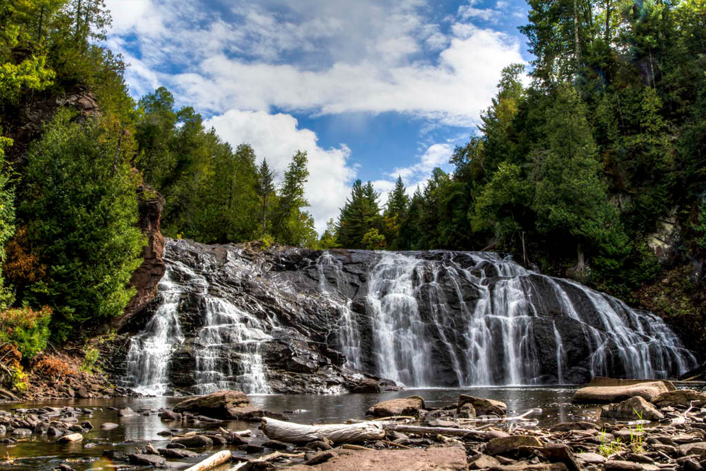
Potato River Falls 6-19-2010

Last paddle on the Gile

Storm over the Gile Flowage

Storm over the Gile Flowage

Rainbow over the Gile

Annie's Island, Gile Flowage, Iron County, WI
Great Rock Formations
Topographic Map of Upson, WI, USA
Find elevation by address:

Places near Upson, WI, USA:
Anderson
Iron County
Jacobs
Mount Whittlesey
Lake Dr, Mellen, WI, USA
Mellen
Co Hwy C, Hurley, WI, USA
Morse
Morse Rd, Glidden, WI, USA
Peeksville
Agenda
Finn Point Rd, Hurley, WI, USA
Glidden
Gordon Lake
Meyer Lake Rd, Butternut, WI, USA
21123 Kempf Rd
Omearas Road South
Oma
Ashland
Co Rd F, Butternut, WI, USA
Recent Searches:
- Elevation of Co Rd 87, Jamestown, CO, USA
- Elevation of Tenjo, Cundinamarca, Colombia
- Elevation of Côte-des-Neiges, Montreal, QC H4A 3J6, Canada
- Elevation of Bobcat Dr, Helena, MT, USA
- Elevation of Zu den Ihlowbergen, Althüttendorf, Germany
- Elevation of Badaber, Peshawar, Khyber Pakhtunkhwa, Pakistan
- Elevation of SE Heron Loop, Lincoln City, OR, USA
- Elevation of Slanický ostrov, 01 Námestovo, Slovakia
- Elevation of Spaceport America, Co Rd A, Truth or Consequences, NM, USA
- Elevation of Warwick, RI, USA