Elevation of Co Hwy C, Hurley, WI, USA
Location: United States > Wisconsin > Iron County > Oma >
Longitude: -90.142045
Latitude: 46.386906
Elevation: 459m / 1506feet
Barometric Pressure: 96KPa
Elevation Map:
Satellite Map:
Related Photos:
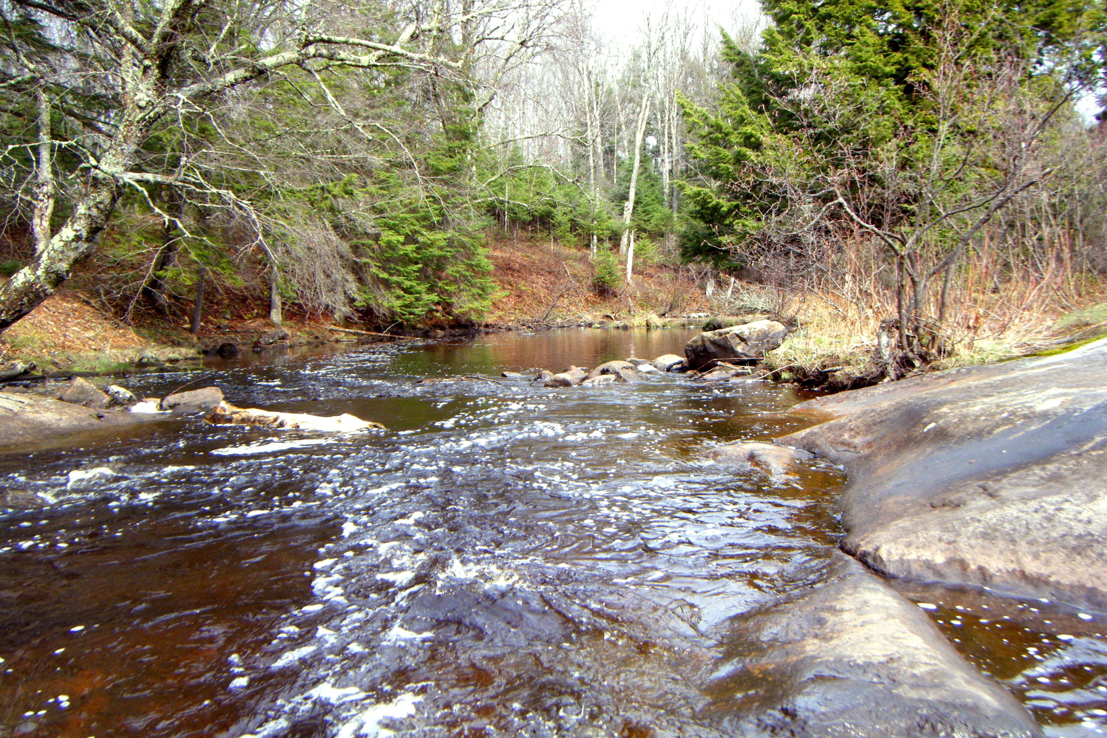
McDonalds Dam
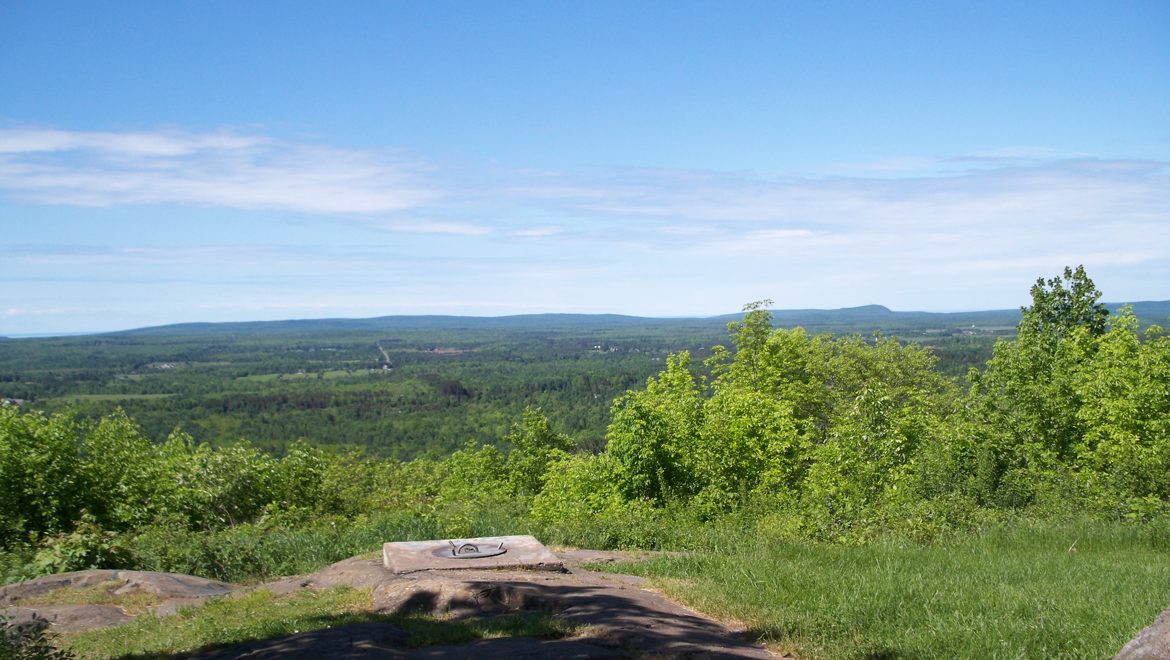
Views from Mt. Zion overlook Ironwood,MI

Views from Mt. Zion overlook Ironwood,MI
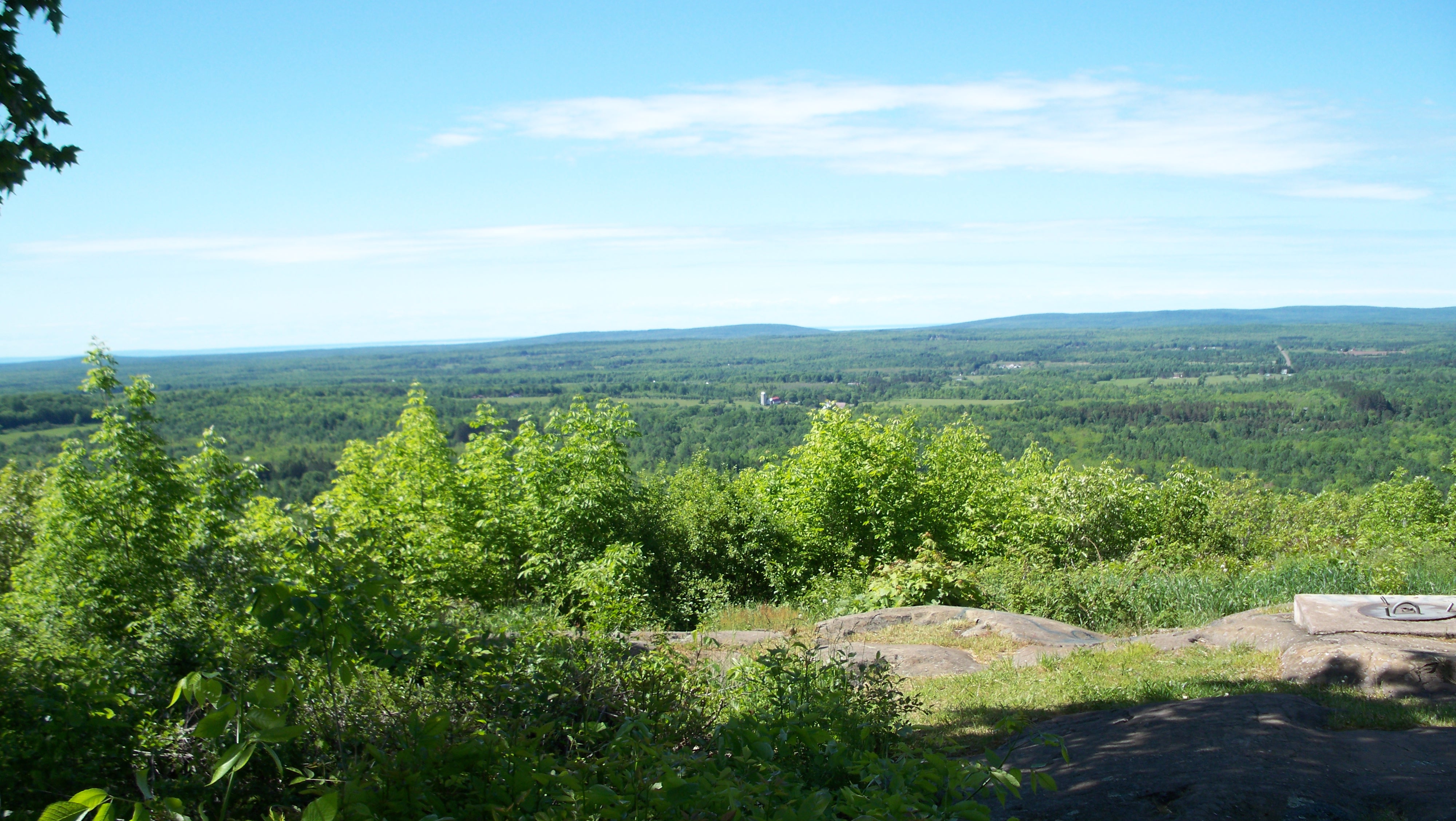
Views from Mt. Zion overlook Ironwood,MI
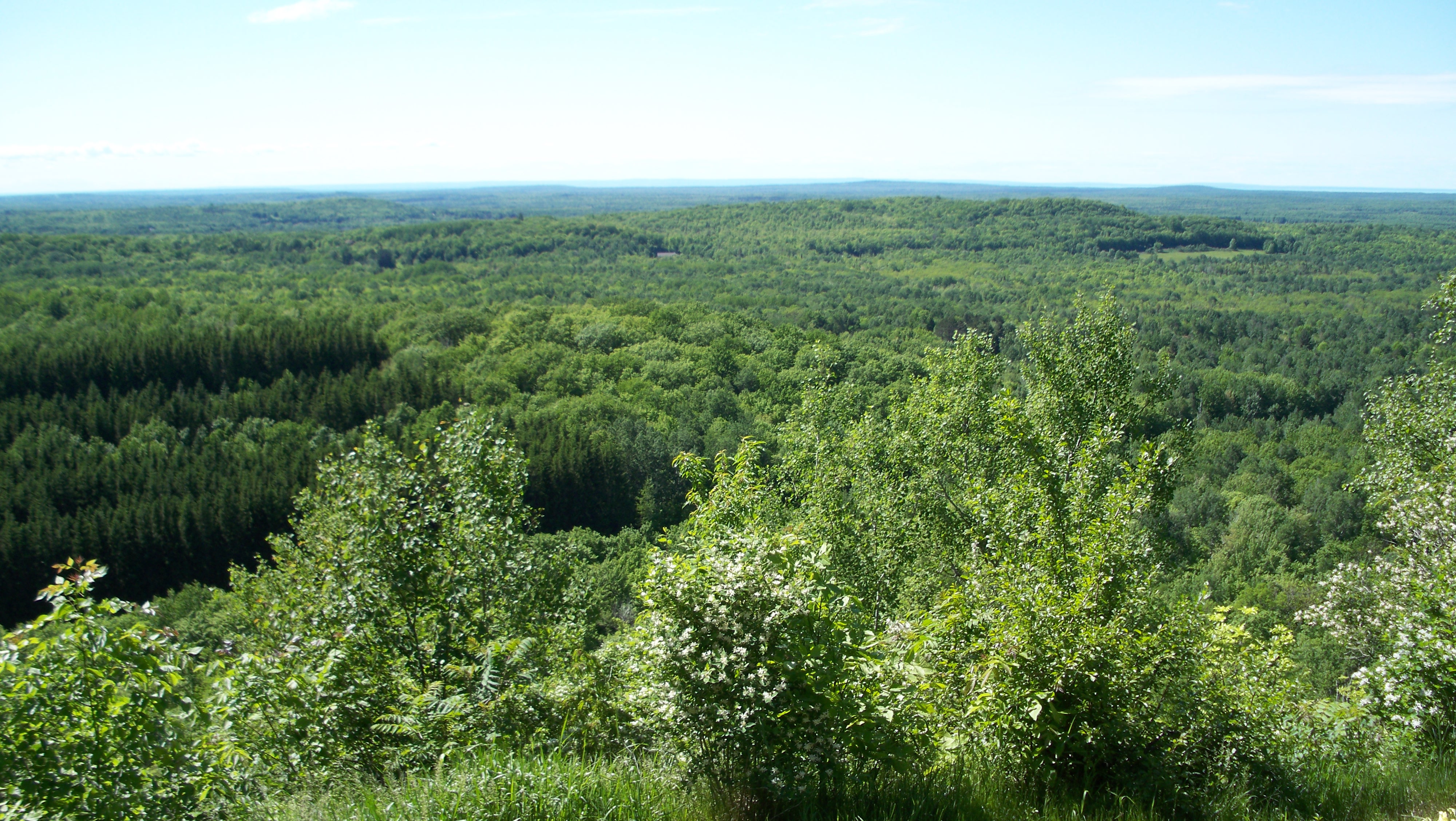
Views from Mt. Zion overlook Ironwood,MI
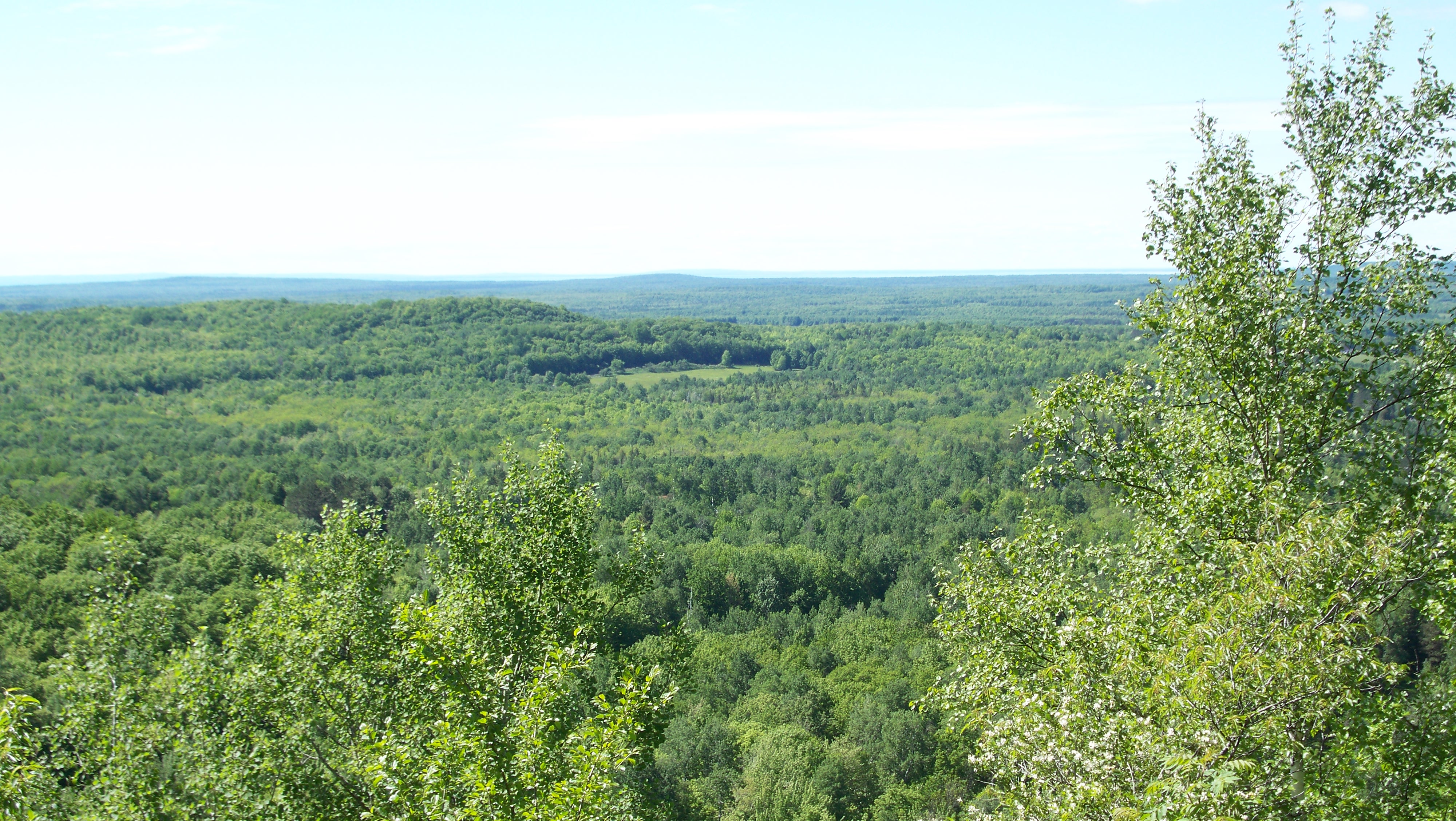
Views from Mt. Zion overlook Ironwood,MI
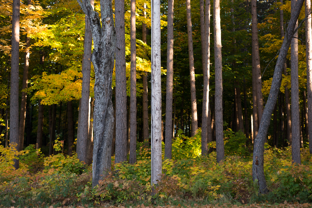
three quarter season
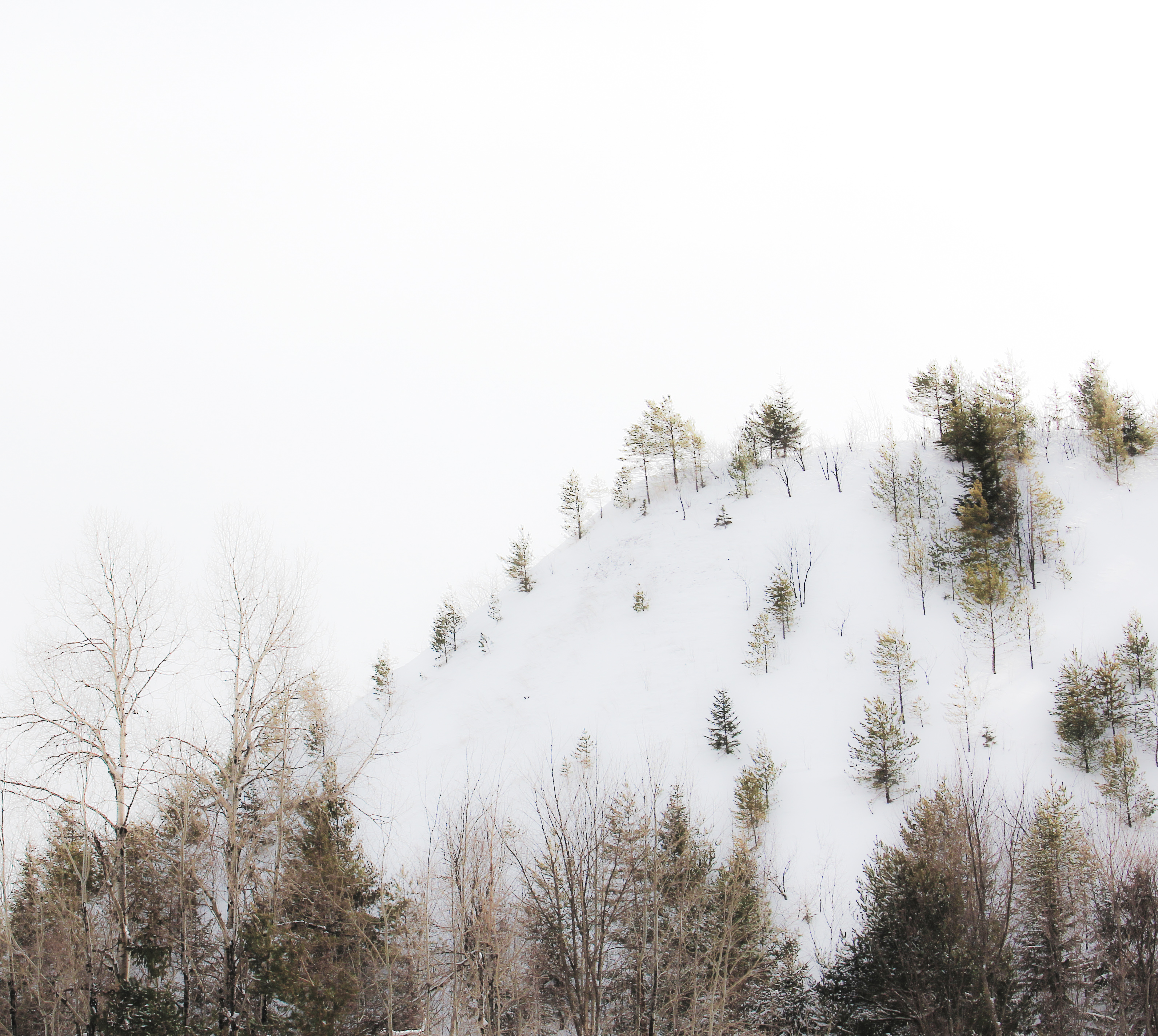
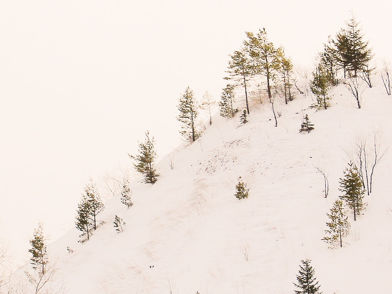
highlands winter
Powder Mill Creek
Worlds Collide

Last paddle on the Gile
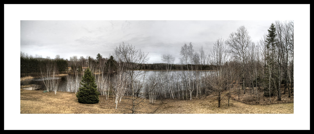
Lake Michele (La Blonde Flowage 1)

Storm over the Gile Flowage

Storm over the Gile Flowage

Highland Highlights

Rainbow over the Gile

Annie's Island, Gile Flowage, Iron County, WI

Gile Flowage, Iron County, WI

Gile Flowage, Iron County, WI

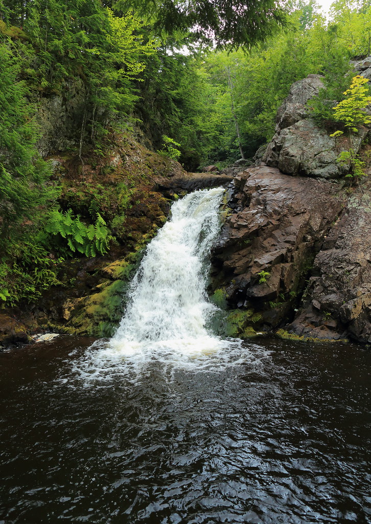
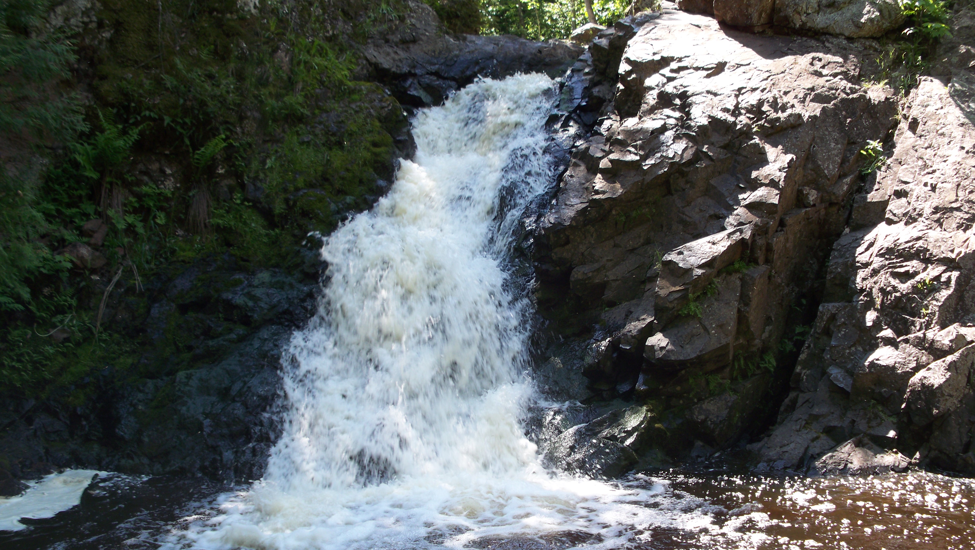
Lower Powder Horn Falls

Dave fishing on the Gile Flowage

Dave fishing on the Gile Flowage

rock 10
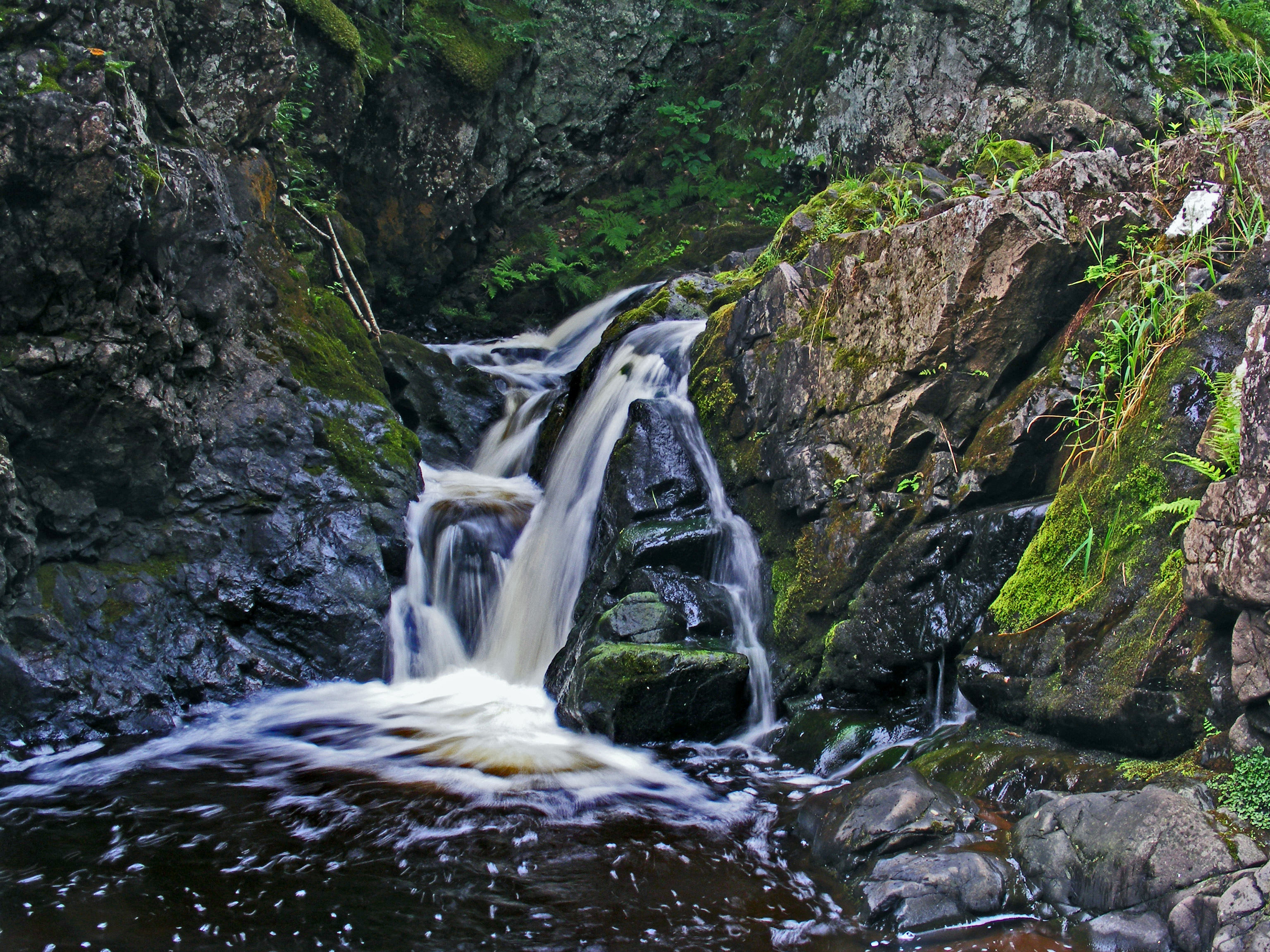
Upper Powder Horn Falls

Johns freedom ride part two

island 16
Powderhorn Falls, UP Michigan
Topographic Map of Co Hwy C, Hurley, WI, USA
Find elevation by address:

Places near Co Hwy C, Hurley, WI, USA:
Oma
Finn Point Rd, Hurley, WI, USA
Iron County
Mercer
2248 County Road J
Mercer
1900 Seymour Rd
3747 Wilson Lake Dr
Upson
3786 Nw Wilson Lake Cir
3747 Wilson Lake Dr N
3723 Wilson Lake Cir
Omearas Road South
Anderson
Sherman
Agenda
Co Rd F, Butternut, WI, USA
Jacobs
Peeksville
Meyer Lake Rd, Butternut, WI, USA
Recent Searches:
- Elevation of Jadagoniai, Kaunas District Municipality, Lithuania
- Elevation of Pagonija rock, Kranto 7-oji g. 8"N, Kaunas, Lithuania
- Elevation of Co Rd 87, Jamestown, CO, USA
- Elevation of Tenjo, Cundinamarca, Colombia
- Elevation of Côte-des-Neiges, Montreal, QC H4A 3J6, Canada
- Elevation of Bobcat Dr, Helena, MT, USA
- Elevation of Zu den Ihlowbergen, Althüttendorf, Germany
- Elevation of Badaber, Peshawar, Khyber Pakhtunkhwa, Pakistan
- Elevation of SE Heron Loop, Lincoln City, OR, USA
- Elevation of Slanický ostrov, 01 Námestovo, Slovakia