Elevation of White Sage Rd, Moorpark, CA, USA

Location: United States > California > Ventura County > Moorpark >

Longitude: -118.85812

Latitude: 34.2812478

Elevation: 211m / 692feet

Barometric Pressure: 99KPa

Elevation Map:

elevation map of White Sage Rd, Moorpark, CA, USA

Satellite Map:

Satellite map of White Sage Rd, Moorpark, CA, USA

Related Photos:

sunset fruit bravo scenery toilet wc hdr portapotty somis mobiletoilet 180000views
Throwdown Response
california usa west history one 1 us marine tour library tail sightseeing tourist presidential historic number helicopter valley reagan western destination simi sikorsky vh3a 150611
Marine One - Side View
nature animals feline puma predator mammals cougar bigcats mountainlion zoos moorparkcollege exoticanimals americasteachingzoo moorparkcalifornia captiveexoticanimals
Profile Portrait of a Predator
drivein newburypark conejothroughthelens borchardrd ranchoconejord
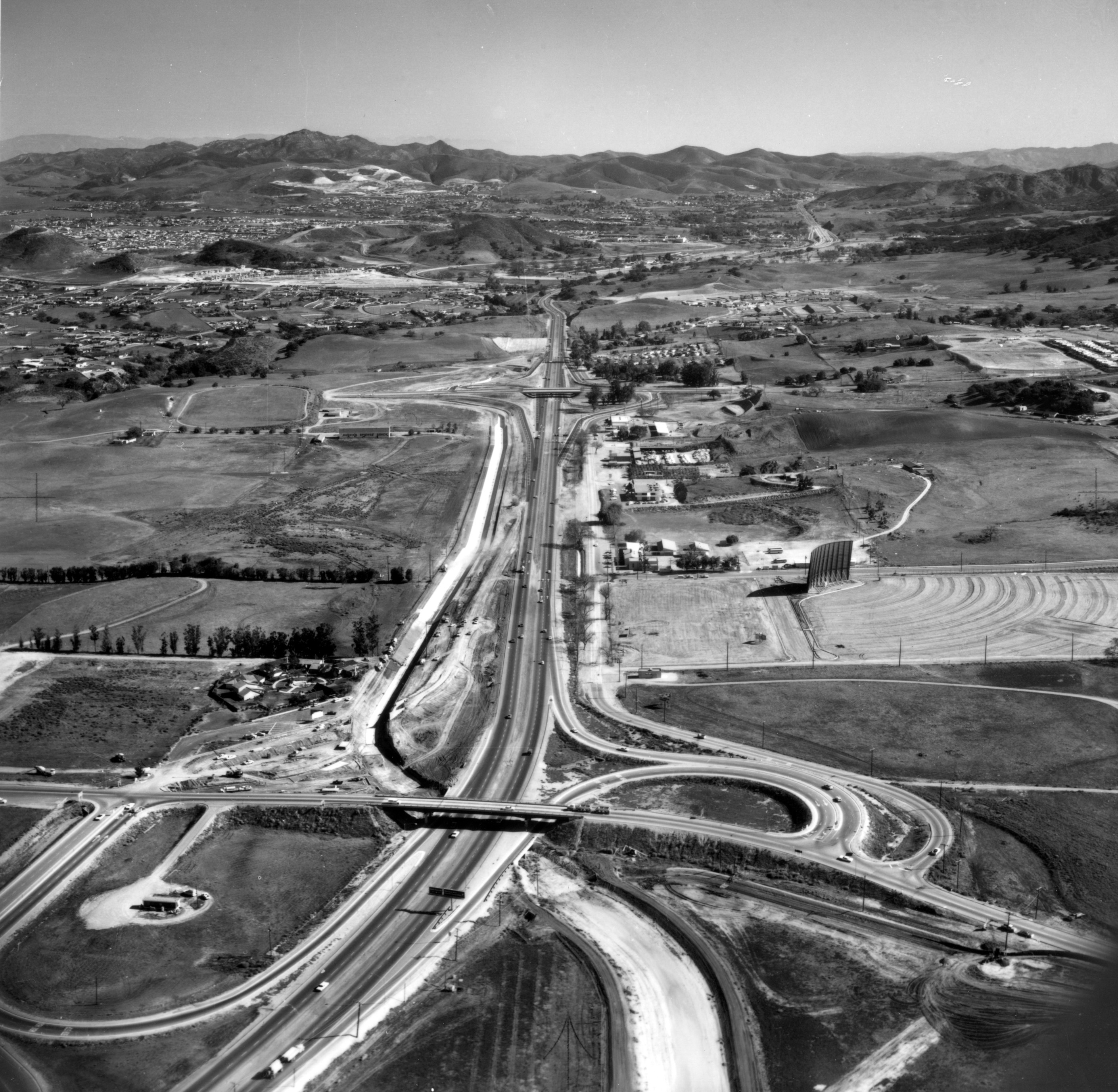
Aerial view over Borchard Rd. and highway 101
california horse woman brunette equine gymkhana barrelracing barrelracer nbha nbhadistrict10
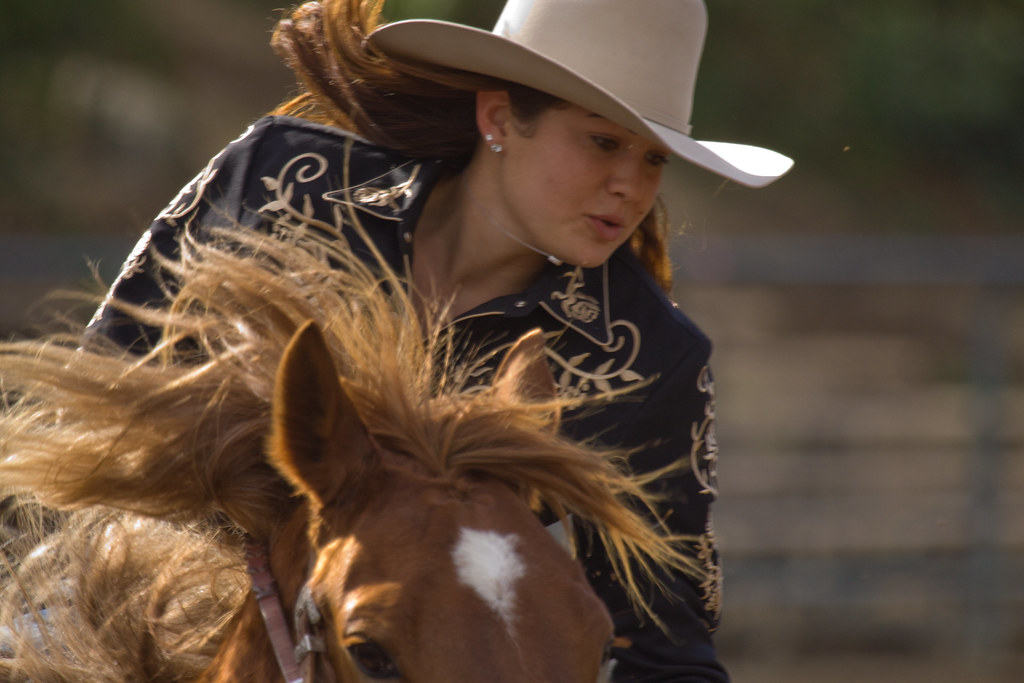
NBHA District 10 California #5
waverly neighborhoods thousandoaks developments westgate conejothroughthelens conejocountryhomes
Aerial of Moorpark Rd at Janss
thousandoaks thriftimart frankknight conejothroughthelens parkoaksshoppingcenter
Park Oaks Shopping Center
dog pet white wet outside happy stream westie canine dirty terrier westhighlandwhiteterrier yoshi wading weewestie
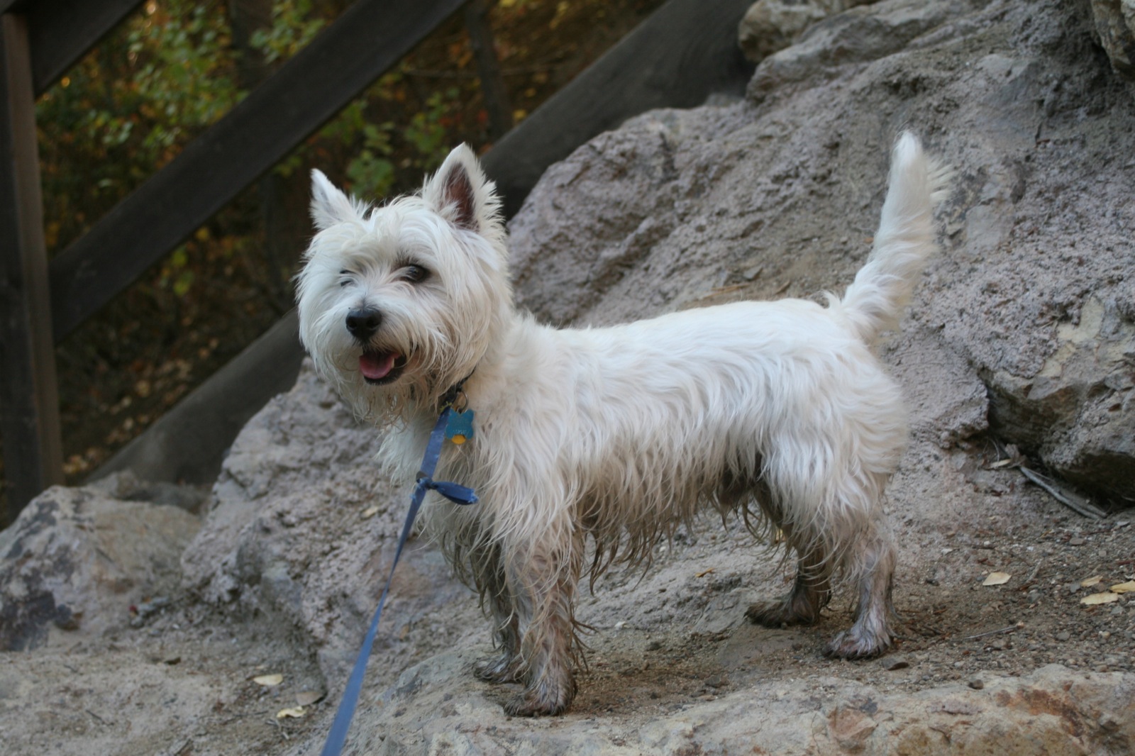
Wee Westie, Stream Forder
california sky sun green rain clouds contrast writing butterfly outside graffiti freedom losangeles view unitedstates symbol cloudy oppression scenic overcast location valley berlinwall vista northamerica lush piece heavy overlook simi simivalley fragment
The Berlin Wall.
moviesets wildwood thousandoaks conejothroughthelens westernsets
Aerial - Wildwood Tract
thousandoaks thriftimart frankknight conejothroughthelens parkoaksshoppingcenter
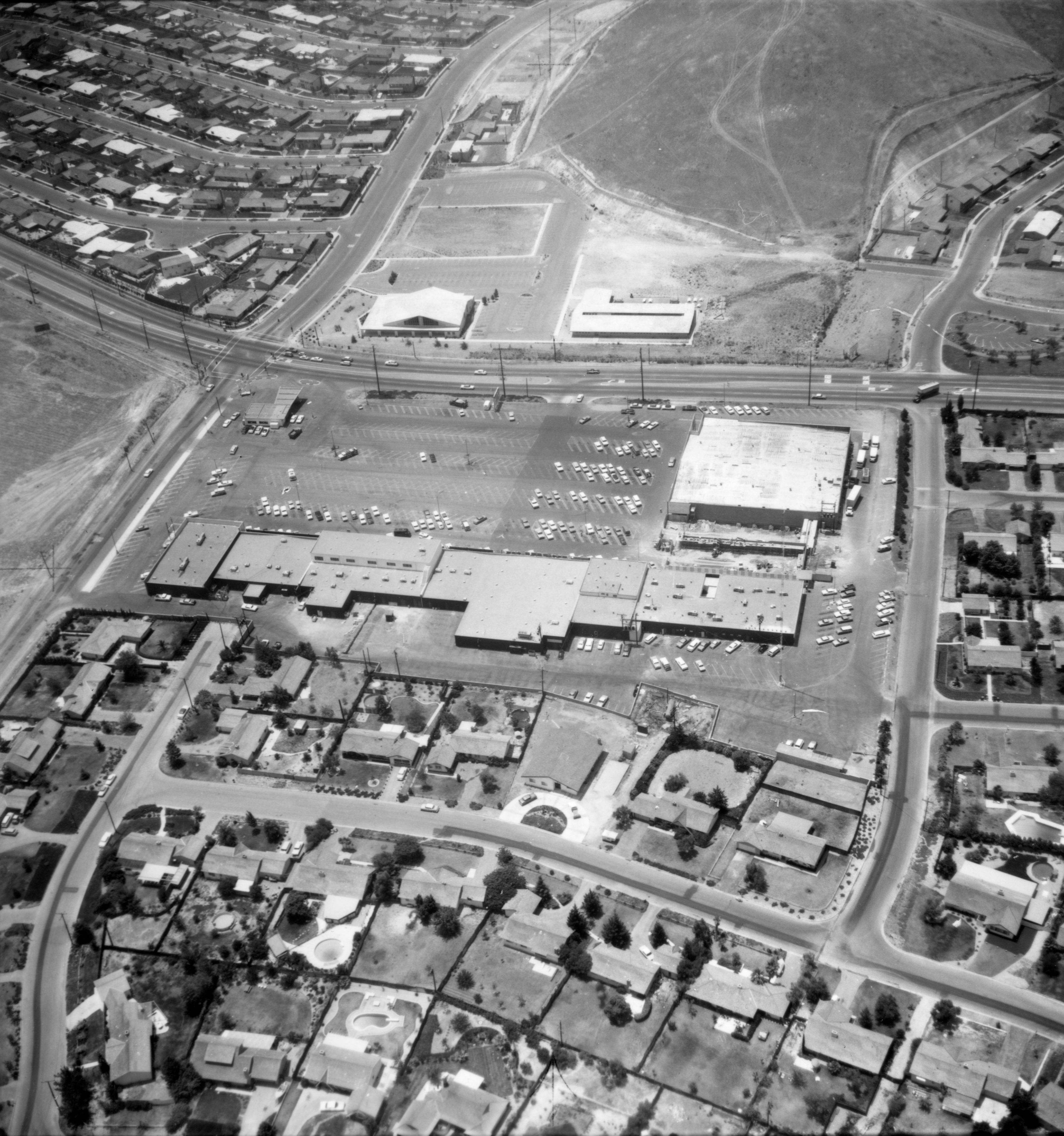
Park Oaks shopping center
flower sunflower wildsunflower
Wild Sunflower
california sunset reflection puddle interestingness ultrawide venturacounty conejovalley canonefs1022mmf3545usm losroblestrail explored springcanyontrail
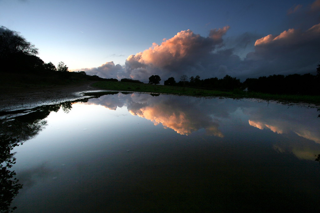
View from the shores of lake mud puddle
texture clouds interesting nikon view pacificocean camarillo venturacounty channelislands simivalley thousandoaks santacruzisland moorpark oxnard porthueneme santarosavalley myowntexture moorparkroad sunsetvalleyroad 030115 mtclefridge
Forecast | March 9am
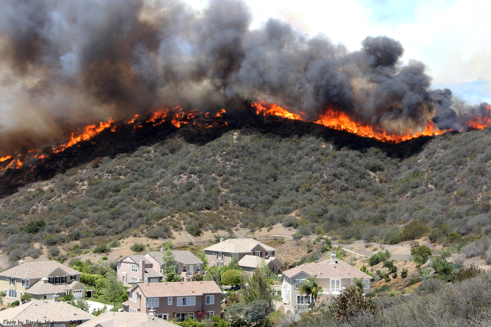
springfire springincident camarillobrushfire
Spring Incident
california stone view dusk libraries scenic berlinwall venturacounty simivalley landscapephotography presidentiallibraries ronaldreaganpresidentiallibrary historicalobject
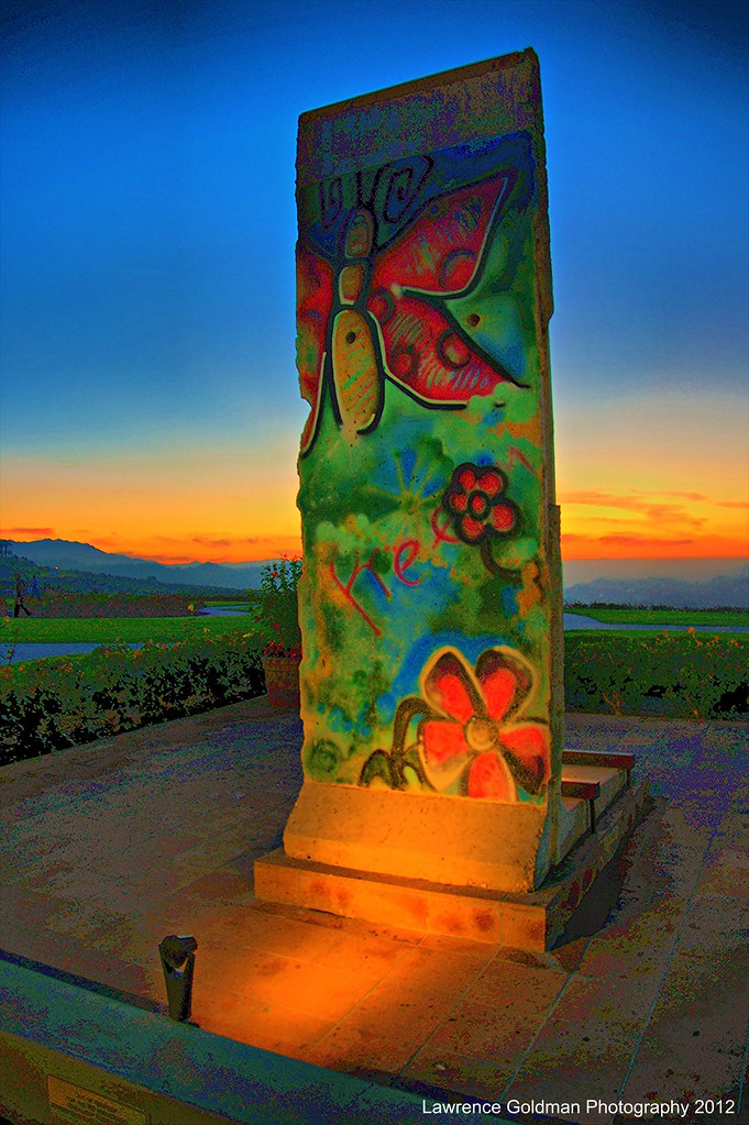
"Free" A Piece of the Berlin Wall
trains locomotives railroadcrossing vividimagination fillmorewesternrailway fillmorecalifornia venturacountycalifornia artandsoul4u
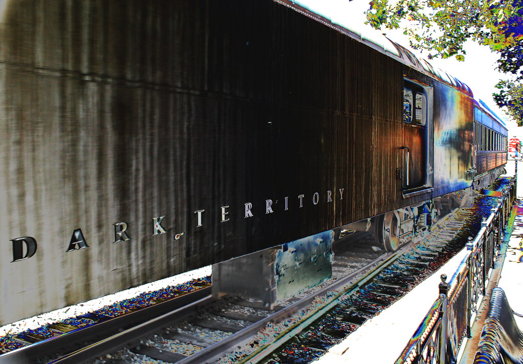
~ Dark Territory Railroad No.4 ~ Extreme Tone Curve Processing ~ View On Black Background ~
california view dusk scenic venturacounty simivalley landscapephotography presidentiallibraries ronaldreaganpresidentiallibrary
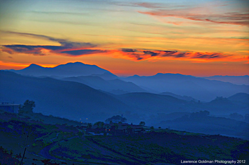
The View from the Ronald Reagan Presidential Library at Sunset
california road view dusk libraries scenic venturacounty simivalley landscapephotography presidentiallibraries ronaldreaganpresidentiallibrary
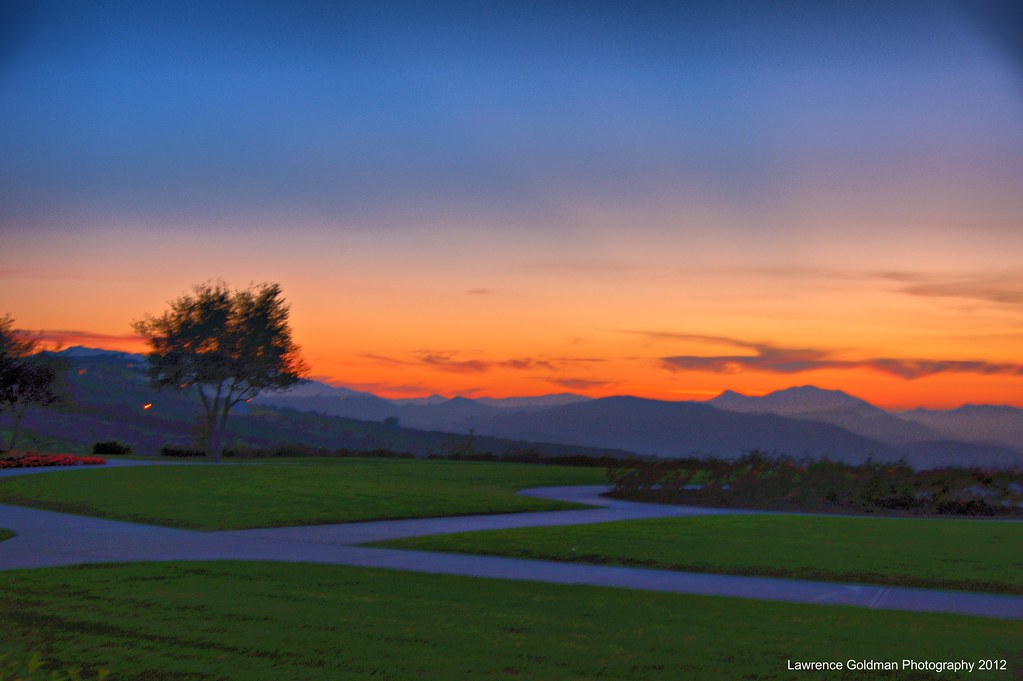
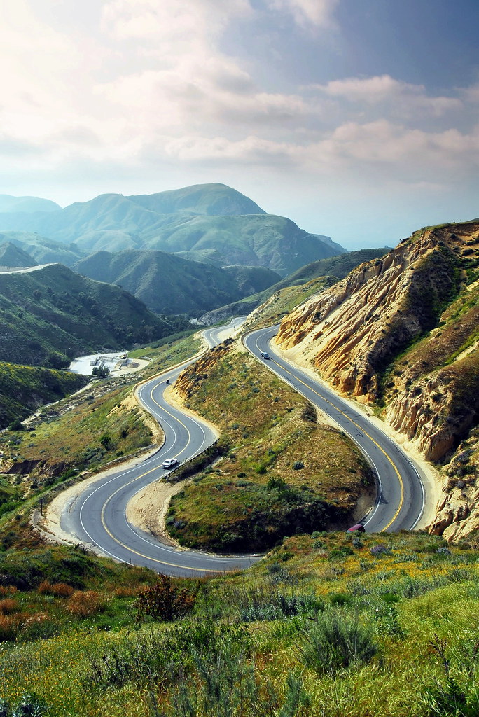
The Long and Winding Road
road sun clouds photoshop canon vintage sister brother tracks drew rail trains skirt siblings adobe journey l 5d series 50s rays 28 mm cs4 2470mm 2470 greeser
Long Way Home3
california view dusk libraries scenic venturacounty simivalley landscapephotography presidentiallibraries ronaldreaganpresidentiallibrary
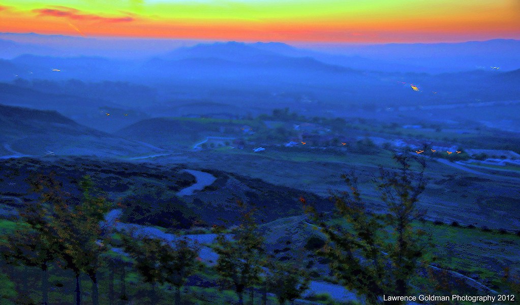
Grounds of the Reagan Presidential Library at Dusk
california road usa moorpark windyroad curvyroad grimescanyon
Once Upon a Time
cameraphone california winter sky blackandwhite bw nature monochrome leaves clouds garden landscape leaf cloudy branches highcontrast monotone hanging backlit 365 botany johns backlighting thousandoaks iphone conejovalley 2013 7feb13 conejovalleybotanicgarden iphone365 iphoneography hipstamatic blackeysbw 3652013 365the2013edition 3652013shootfirstaskquestionslater
2/7/13
clouds airplane hollywoodsign griffithpark elmatadorbeachmalibu mountbaker saltspringisland britishcolumbia canada artisanbranding alexbeattie thousandoaks westlakevillage goldenretriever webdeveloper photographer
SoCal Meets Pacific Northwest
orchard oranges venturacounty piru california panorama outdoors landscape sunset
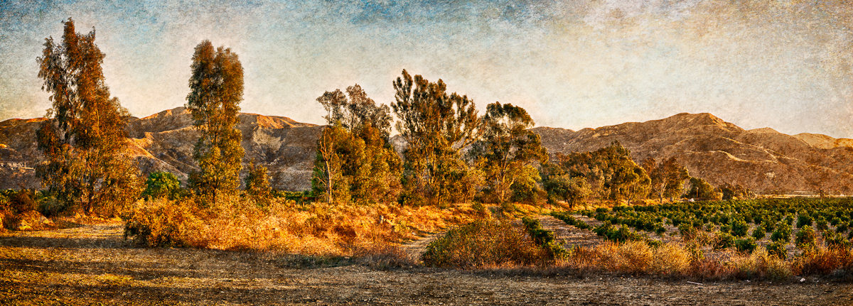
Orchard • Piru, CA 2011
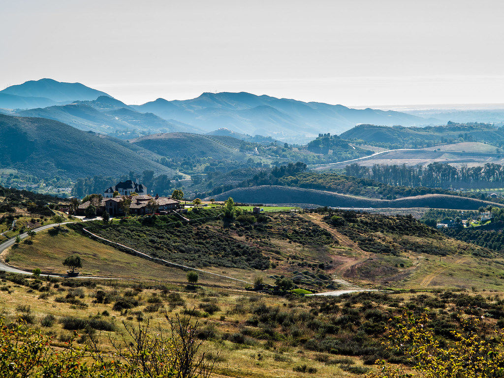
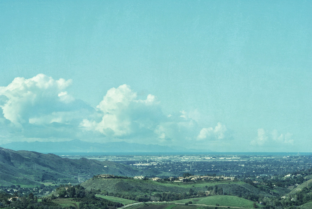
museum ronaldreagan simivalley presidentiallibrary ronaldreaganlibrary
The valley below
sunset beauty lens landscape landscapes day angle cloudy sony wide scenic alpha 55 hdr slt a55 alpha55 slta55
Scenic HDR California Landscape Photography
california mountain golf square squareformat simivalley iphoneography instagramapp xproii uploaded:by=instagram foursquare:venue=4bed53f93372c928b46f1114
Sky Course
old Simi....
flowers sunset clouds powerlines somis nothdr mergeof2photos completelydifferentlocationthanmyshot2daysago
My Day Off
springtime green landscape conejovalley spring fieldsofgreen instagramapp square squareformat iphoneography
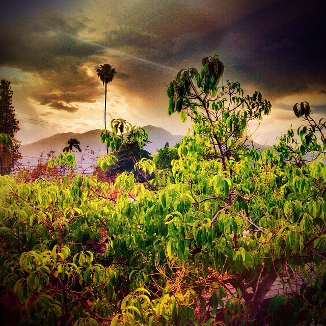
It's a beautiful day in the neighborhood! #camarillo #conejovalley #landscape #springtime #greenhills #itsabeautifulday #spring #serenity #naturesbeauty #peace #blueskies #fieldsofgreen #bestillmyheart #ilovenature
california ca wallpaper tree clouds landscape nikon sigma wideangle camarillo hdr topaz 10mm d90
Santa Rosa Tree
square squareformat hudson iphoneography instagramapp uploaded:by=instagram foursquare:venue=4bf1398817880f47620a2a37
#sky #hills #fence #nature #landscape #california #iphoneonly
square squareformat iphoneography instagramapp uploaded:by=instagram
Mountains Peeking Over the Avocado Tree • Fillmore, CA
america bush california cloud fillmorefishhatchery jfflickr lowres photosbydavid plant postedonello postedonflickr road sign sky tree unitedstates usa venturacounty fillmore
Exit (p)
Lake Sherwood
california waterfall oakpark
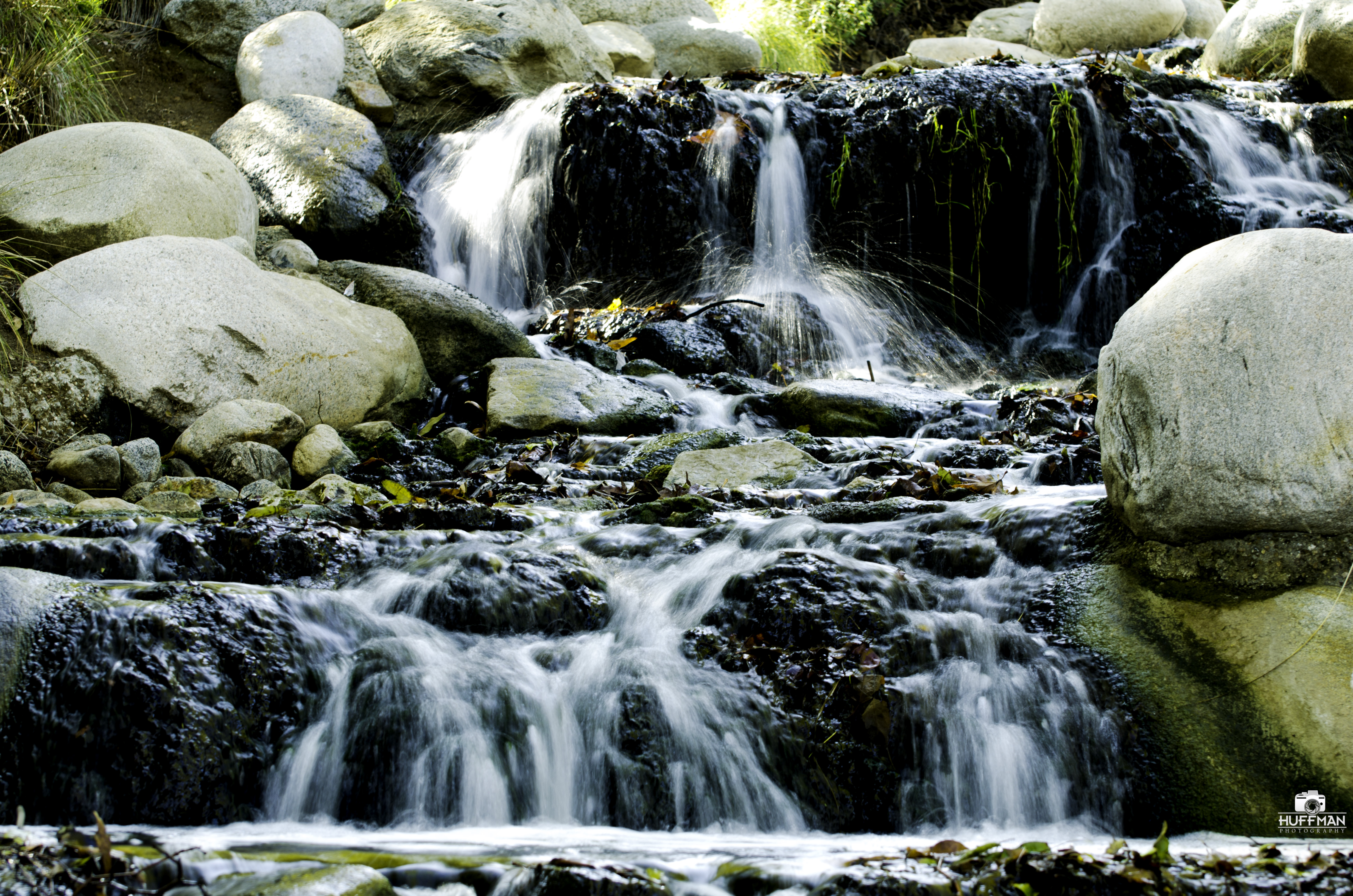
Waterfall in Oak Park
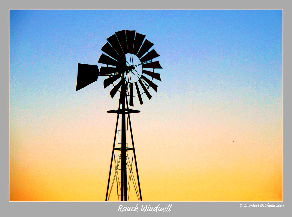
ranch windmill silhouette landscape southerncalifornia hiddenvalley venturacounty nikond90
Ranch Windmill