Elevation of E Guiberson Rd, Fillmore, CA, USA

Location: United States > California > Ventura County > Fillmore >

Longitude: -118.85311

Latitude: 34.3823582

Elevation: 163m / 535feet

Barometric Pressure: 99KPa

Elevation Map:

elevation map of E Guiberson Rd, Fillmore, CA, USA

Satellite Map:

Satellite map of E Guiberson Rd, Fillmore, CA, USA

Related Photos:

california usa west history one 1 us marine tour library tail sightseeing tourist presidential historic number helicopter valley reagan western destination simi sikorsky vh3a 150611
Marine One - Side View
texture clouds interesting nikon view pacificocean camarillo venturacounty channelislands simivalley thousandoaks santacruzisland moorpark oxnard porthueneme santarosavalley myowntexture moorparkroad sunsetvalleyroad 030115 mtclefridge
Forecast | March 9am
california sky sun mountains green rain clouds contrast landscape losangeles day view unitedstates cloudy scenic location valley vista northamerica lush heavy overlook simi simivalley
Simi Valley.
california sky sun green rain clouds contrast writing butterfly outside graffiti freedom losangeles view unitedstates symbol cloudy oppression scenic overcast location valley berlinwall vista northamerica lush piece heavy overlook simi simivalley fragment
The Berlin Wall.
airforceone ronaldreagan ovaloffice potus presidentiallibrary
Reagan Presidential Library
california stone view dusk libraries scenic berlinwall venturacounty simivalley landscapephotography presidentiallibraries ronaldreaganpresidentiallibrary historicalobject
"Free" A Piece of the Berlin Wall
trains locomotives railroadcrossing vividimagination fillmorewesternrailway fillmorecalifornia venturacountycalifornia artandsoul4u
~ Dark Territory Railroad No.4 ~ Extreme Tone Curve Processing ~ View On Black Background ~
california view dusk scenic venturacounty simivalley landscapephotography presidentiallibraries ronaldreaganpresidentiallibrary
The View from the Ronald Reagan Presidential Library at Sunset
california road view dusk libraries scenic venturacounty simivalley landscapephotography presidentiallibraries ronaldreaganpresidentiallibrary
The Long and Winding Road
road sun clouds photoshop canon vintage sister brother tracks drew rail trains skirt siblings adobe journey l 5d series 50s rays 28 mm cs4 2470mm 2470 greeser
Long Way Home3
nature animals feline puma predator mammals cougar bigcats mountainlion zoos moorparkcollege exoticanimals americasteachingzoo moorparkcalifornia captiveexoticanimals
Profile Portrait of a Predator
california red architecture rural victorian frame schoolhouse venturacounty smalltown nikond90 santapaulacalifornia lawrencegoldman lhg11 santaclaraschool historicallysignicantstructure
Little Red Schoolhouse -- Santa Clara School
california view dusk libraries scenic venturacounty simivalley landscapephotography presidentiallibraries ronaldreaganpresidentiallibrary
Grounds of the Reagan Presidential Library at Dusk
california river disneyland rapids adventure grizzly
Christmas at Disneyland
nature animals turaco zoos avians moorparkcollege captiveanimals redcrestedturaco americasteachingzoo africanavians
In Good Hands
nature animals monkey mammals zoos marmoset primates moorparkcollege exoticanimals captiveanimals americasteachingzoo moorparkcalifornia
Caged Marmoset
california railroad tourism scale historic steam venturacounty smalltown steamlocomotive nikond90 fillmorecalifornia fillmoreandwesternrailroad lawrencegoldman lhg11
Steam Engine Passengers Viewing Train hdr
california reagan simi ca panorama view
Simi Valley Panorama
simivalley reaganlibrary
View from Reagan Library
california fountain architecture rural tile cityhall venturacounty smalltown spanishstyle nikond90 fillmorecalifornia lawrencegoldman lhg11
Fillmore City Hall hdr
square squareformat iphoneography instagramapp uploaded:by=instagram
Simi Valley viewed from the Ronald Reagan Presidential Library.
old Simi....
grimescanyon moorpark longexposure
Grimes Canyon
southerncalifornia fillmore twistyroad venturacounty yellowline moorpark motorcycleride roadribbon gulmidtstripe grimescanyon
Grimes Canyon
california mountains sunrise canyon valley fillmore grimescanyon
Grimes Canyon Road, Fillmore, California
california mountains sunrise canyon valley fillmore grimescanyon
Grimes Canyon Road, Fillmore, California
road sky clouds explore condor 341 californa sespe hoppermountain
Above the Clouds
california road usa moorpark windyroad curvyroad grimescanyon
Once Upon a Time
square squareformat hudson iphoneography instagramapp uploaded:by=instagram foursquare:venue=4bf1398817880f47620a2a37
#sky #hills #fence #nature #landscape #california #iphoneonly
america bush california cloud fillmorefishhatchery jfflickr lowres photosbydavid plant postedonello postedonflickr road sign sky tree unitedstates usa venturacounty fillmore
Exit (p)
Los Padres Flight
Lost Canyon #9
Built by Old Guys
california landscape outdoors fillmore venturacounty sesperiver
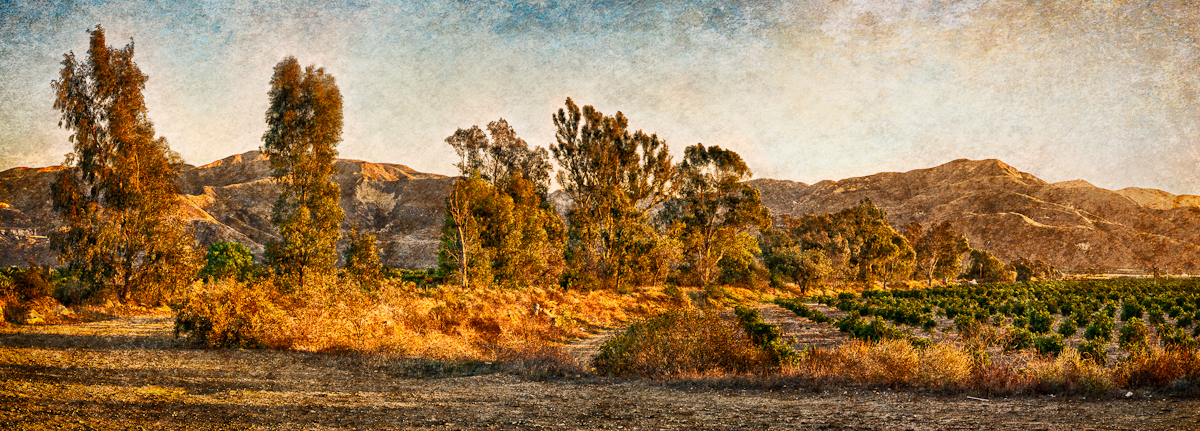
Fall Treeline • Fillmore, CA 2013
2011-03-21_18-09-52_720
california road winding fillmore grimescanyonroad grimescanyon
Grimes Canyon Road
california sunset tree sunrise landscape orchard oranges fillmore venturacounty textured
Orchard Off Telegraph Road • Fillmore, CA 2012
orchard oranges venturacounty piru california panorama outdoors landscape sunset
Orchard • Piru, CA 2011
california landscape outdoors fillmore venturacounty sespe sesperiver
Pile of Stones Near a Copse of Trees • Fillmore, CA 2013