Elevation of Kensington Dr, Fillmore, CA, USA
Location: United States > California > Ventura County > Fillmore >
Longitude: -118.91524
Latitude: 34.4017443
Elevation: 148m / 486feet
Barometric Pressure: 100KPa
Elevation Map:
Satellite Map:
Related Photos:

Little Red Schoolhouse -- Santa Clara School

1965 Chevy Pickup Truck See Through Rear View

Hyperstereo View Over Ventura

Santa Felicia Dam 1

"Off We Go Into the Wild Blue Yonder... hdr

Under the Top Wing of a Yellow Stearman Bi-Plane hdr

The Answer Part 2 hdr

"I'm Defying Gravity"

Long Way Home3

Profile Portrait of a Predator

Brick Work and Windows Oil Museum Santa Paula hdr

Rudolph the Red Nosed Airplane

"Come Fly With Me.....

The Answer Part 2 var hdr
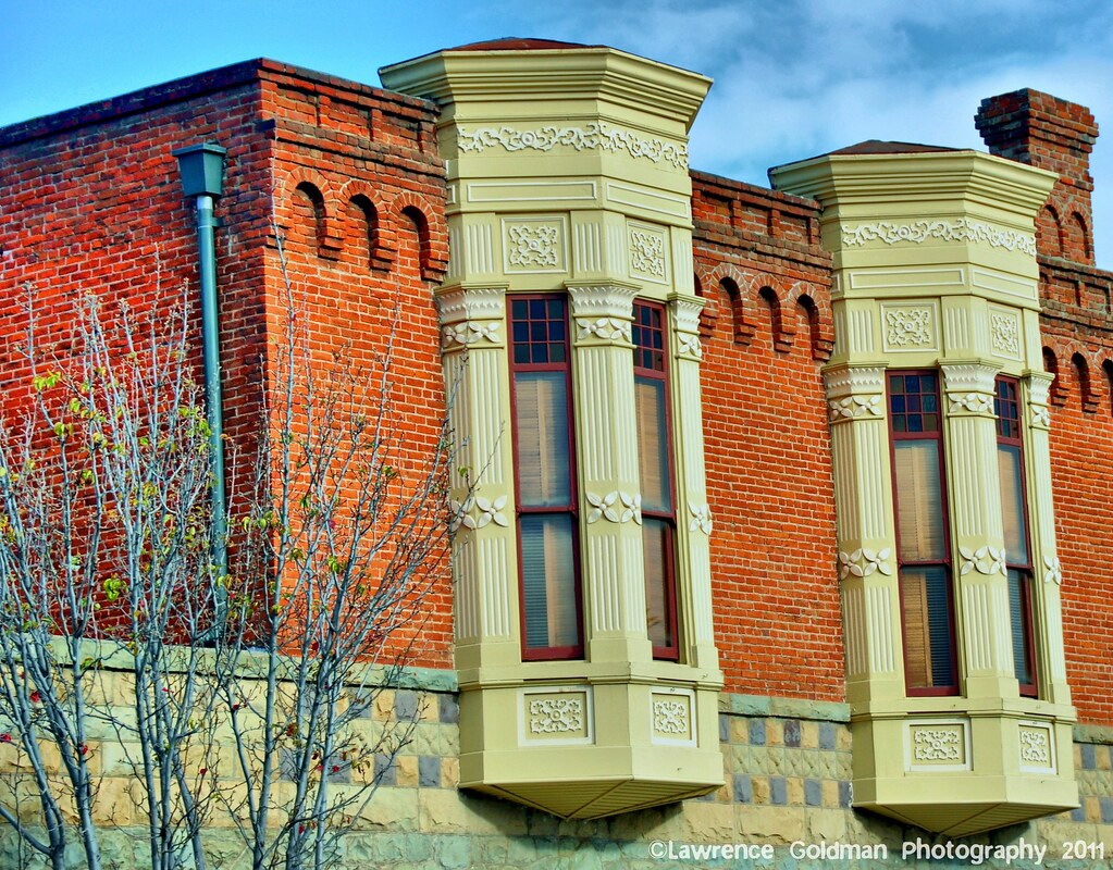
Architectural Detail Oil Museum Santa Paula hdr

El Brillante (1910) hdr

First Unitarian Universalist Church of Santa Paula
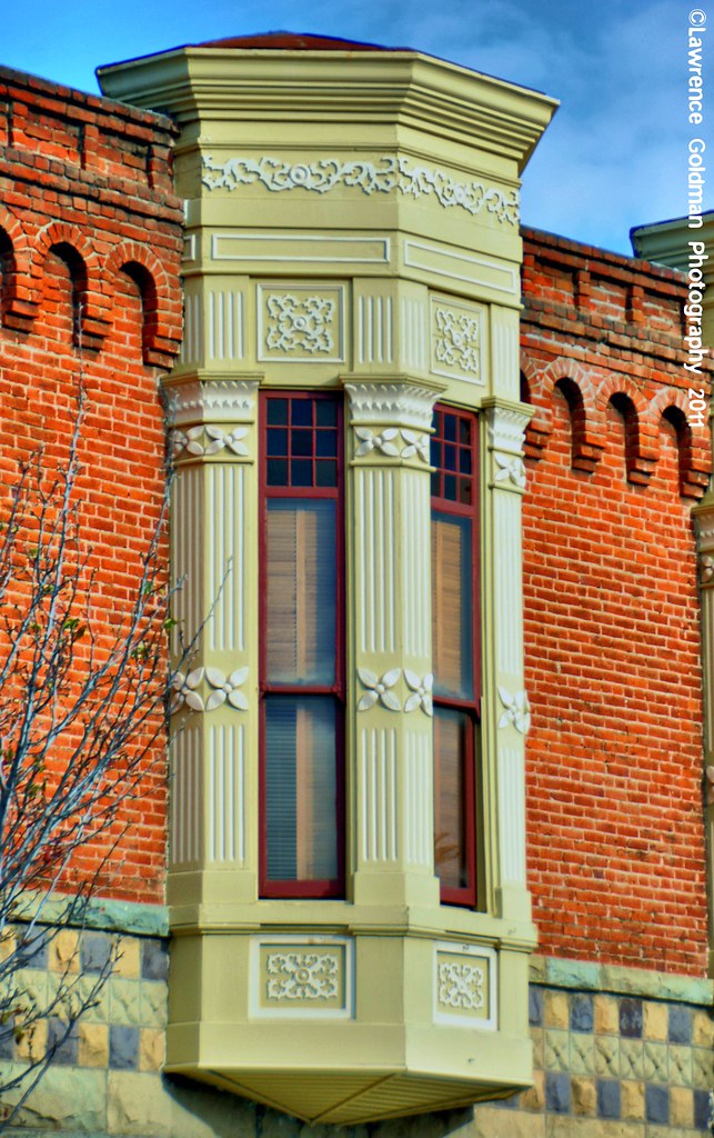
Window Detail Oil Museum Santa Paula hdr

In Good Hands

Car-ne Fresca

Caged Marmoset

Above the Clouds

Once Upon a Time

Los Padres Flight

Exit (p)

Grimes Canyon

Grimes Canyon Road

9 Miles A Gallon (p)

Chrismas Eve on the Sespe River • Fillmore, CA 2011

bridge out (color infrared). piru, ca. 2017.

Grimes Canyon Cattle Ranch

death magnet

Grimes Canyon Road, Fillmore, California

Grimes Canyon Road, Fillmore, California

Energy dependence.

VIDEO%202019-02-06%20171647.jpg

Mountains Peeking Over the Avocado Tree • Fillmore, CA
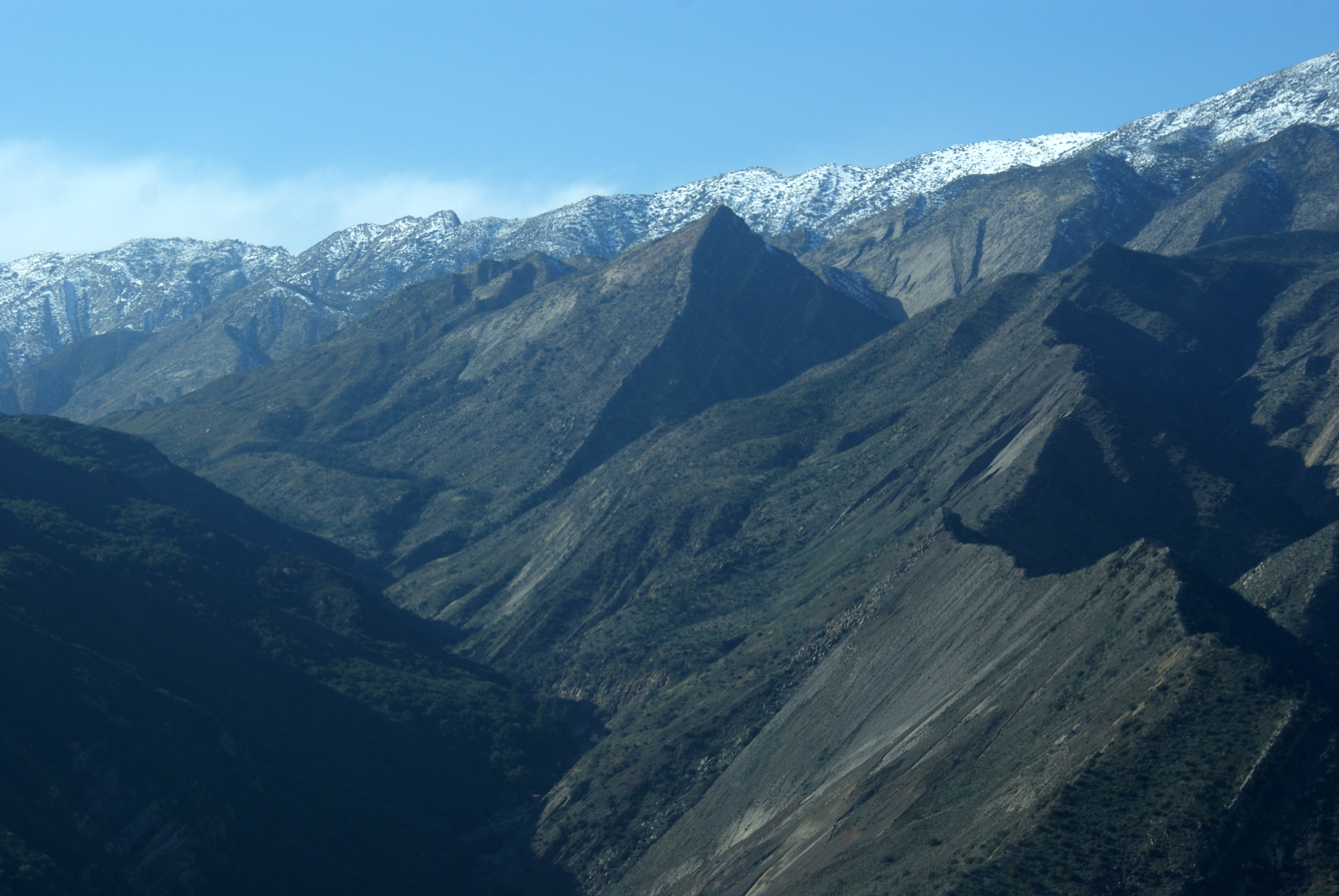
Los Padres Flight

20171229_170930-01
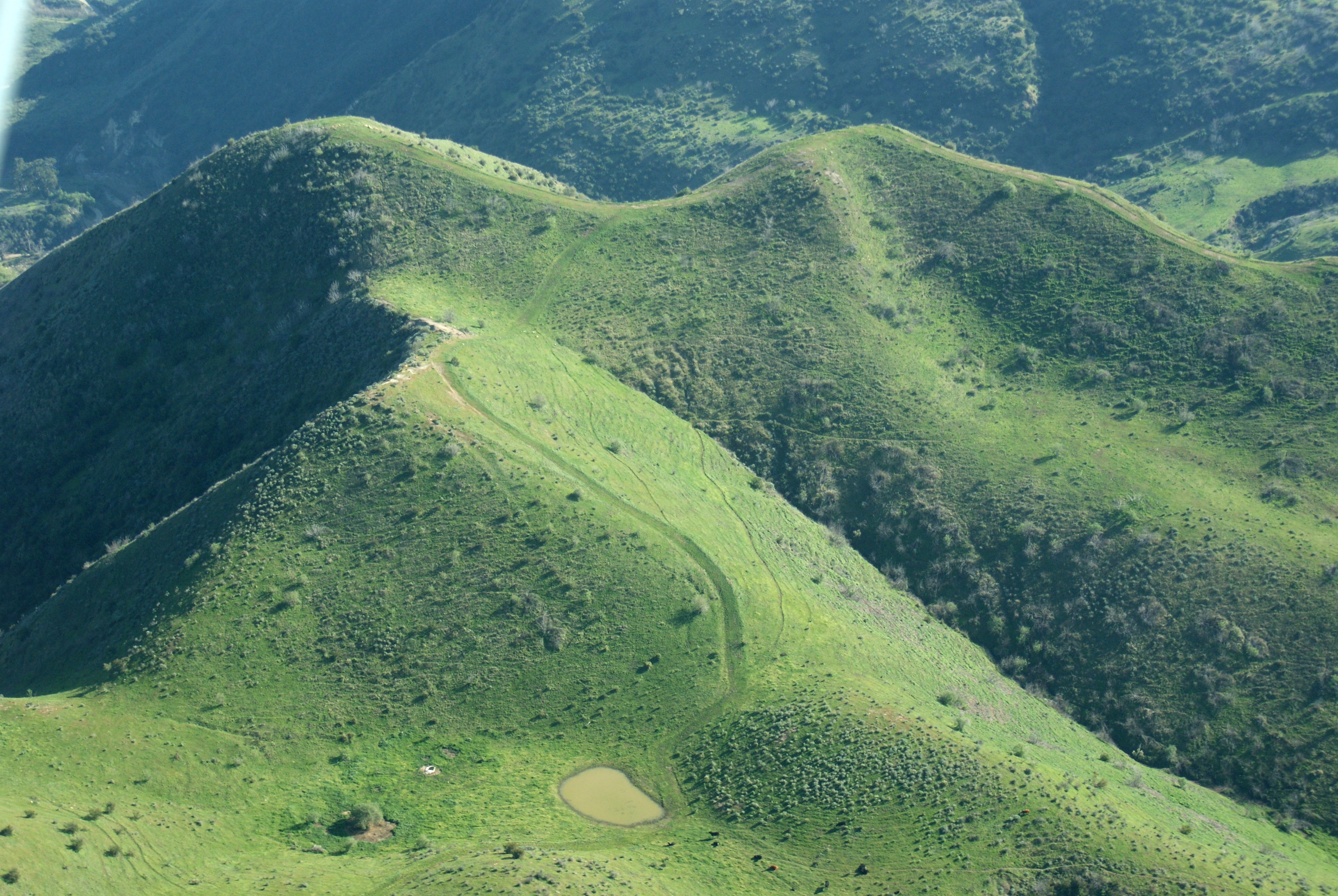
Los Padres Flight

Built by Old Guys

Los Padres Flight
Topographic Map of Kensington Dr, Fillmore, CA, USA
Find elevation by address:

Places near Kensington Dr, Fillmore, CA, USA:
512 Main St
Fillmore
103 Dunton Ln
961 Mountain View St
California 126
Old Telegraph Rd, Fillmore, CA, USA
Keith Rd, Fillmore, CA, USA
3244 Goodenough Rd
1835 E Guiberson Rd
9035 Roseland Ave
Angels Pass
3500 Toland Rd
7675 Bradley Rd
Grimes Canyon Road
Moorpark
13044 Sosna Ct
Balcom Canyon Road
4883 Penrose Ave
14399 Princeton Ave
65 Ca-118
Recent Searches:
- Elevation of Tenjo, Cundinamarca, Colombia
- Elevation of Côte-des-Neiges, Montreal, QC H4A 3J6, Canada
- Elevation of Bobcat Dr, Helena, MT, USA
- Elevation of Zu den Ihlowbergen, Althüttendorf, Germany
- Elevation of Badaber, Peshawar, Khyber Pakhtunkhwa, Pakistan
- Elevation of SE Heron Loop, Lincoln City, OR, USA
- Elevation of Slanický ostrov, 01 Námestovo, Slovakia
- Elevation of Spaceport America, Co Rd A, Truth or Consequences, NM, USA
- Elevation of Warwick, RI, USA
- Elevation of Fern Rd, Whitmore, CA, USA