Elevation of Penrose Ave, Moorpark, CA, USA
Location: United States > California > Ventura County > Moorpark >
Longitude: -118.90050
Latitude: 34.278298
Elevation: 144m / 472feet
Barometric Pressure: 100KPa
Elevation Map:
Satellite Map:
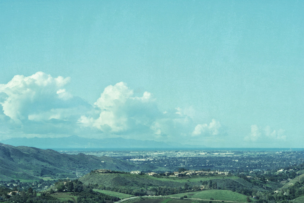
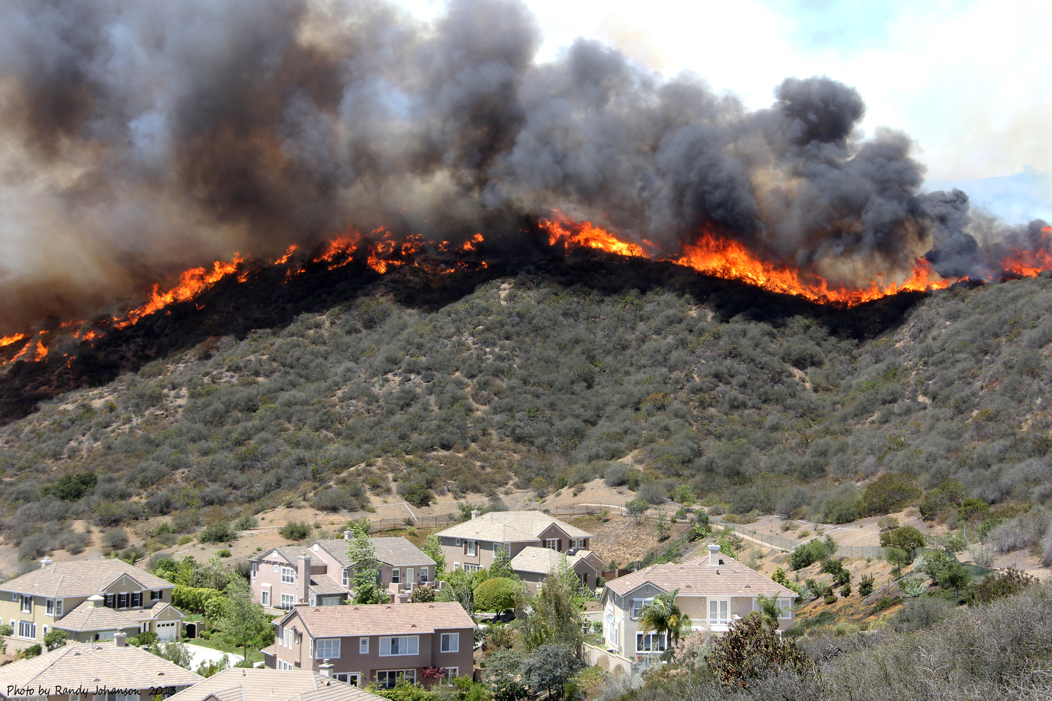
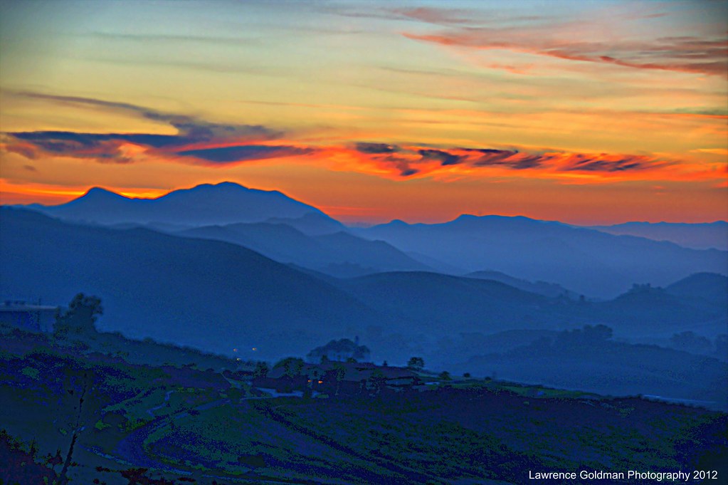
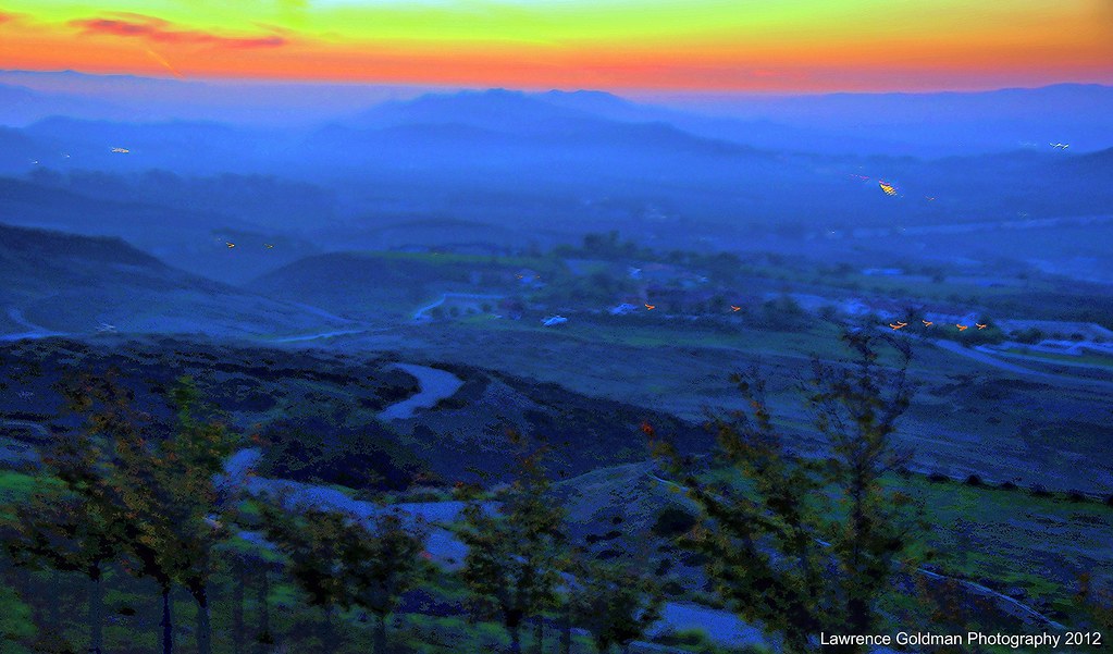
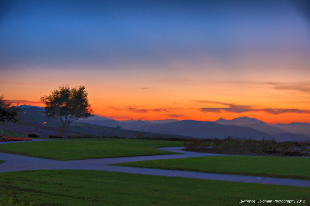
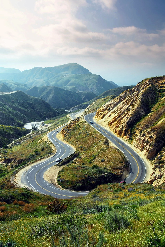
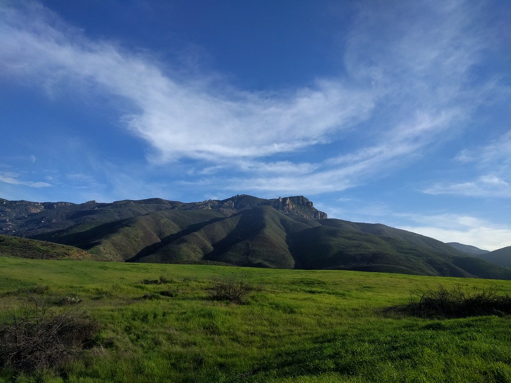
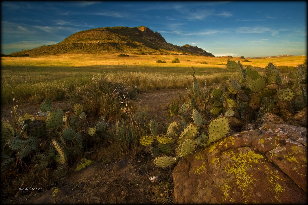
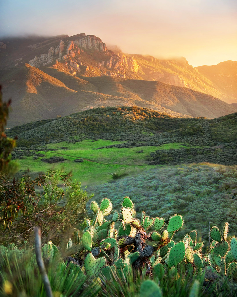
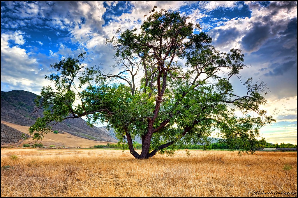
Related Photos:

Throwdown Response

Marine One - Side View
Forecast | March 9am
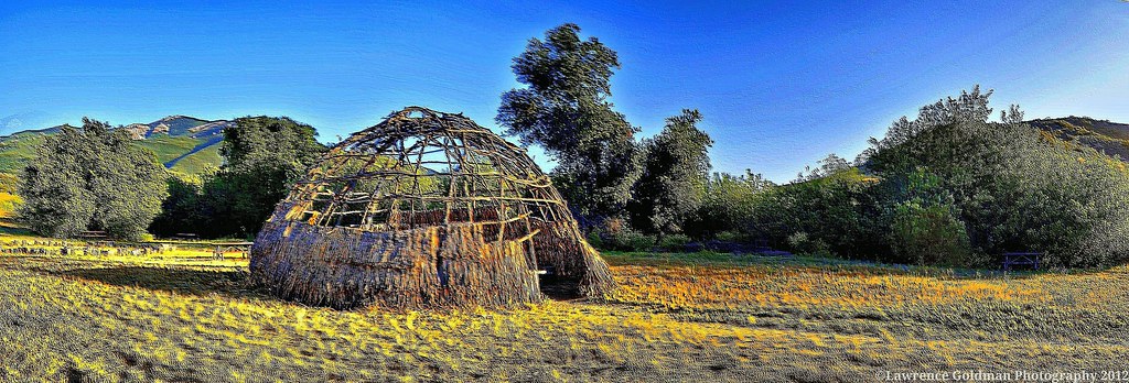
Panoramic Shot of the Chumash Home Replica Santa Monica Mountains National Recreation Area
Spring Incident

Purple Buds

Long Way Home3
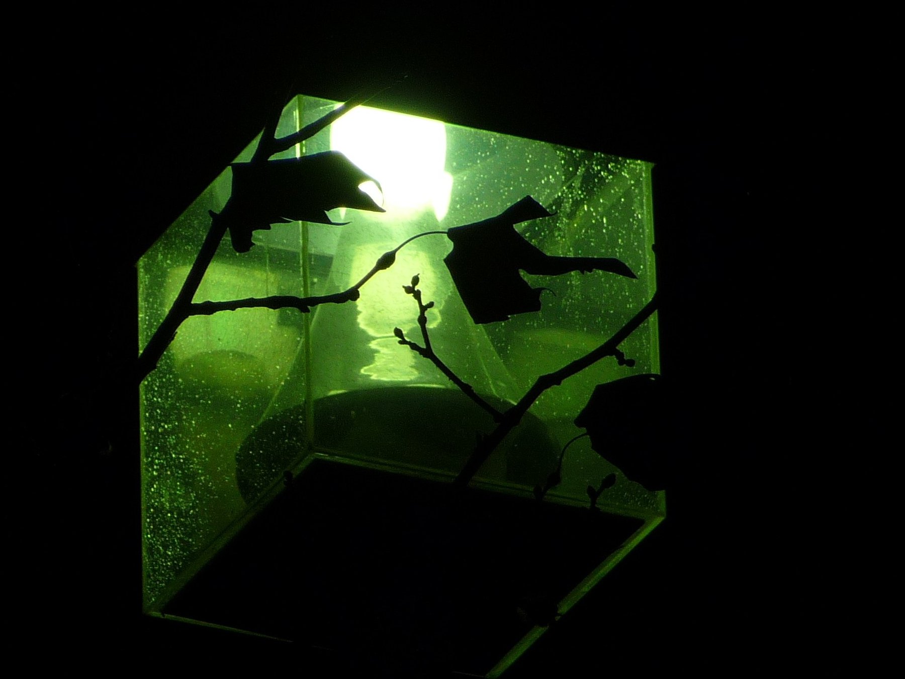
lamp + leaves 20/365
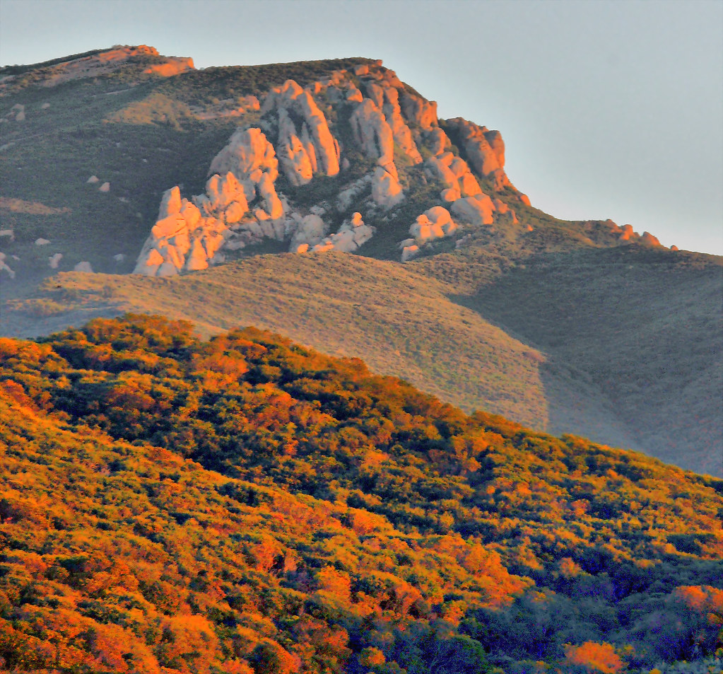
Sunset Light Reflections Boney Mountain
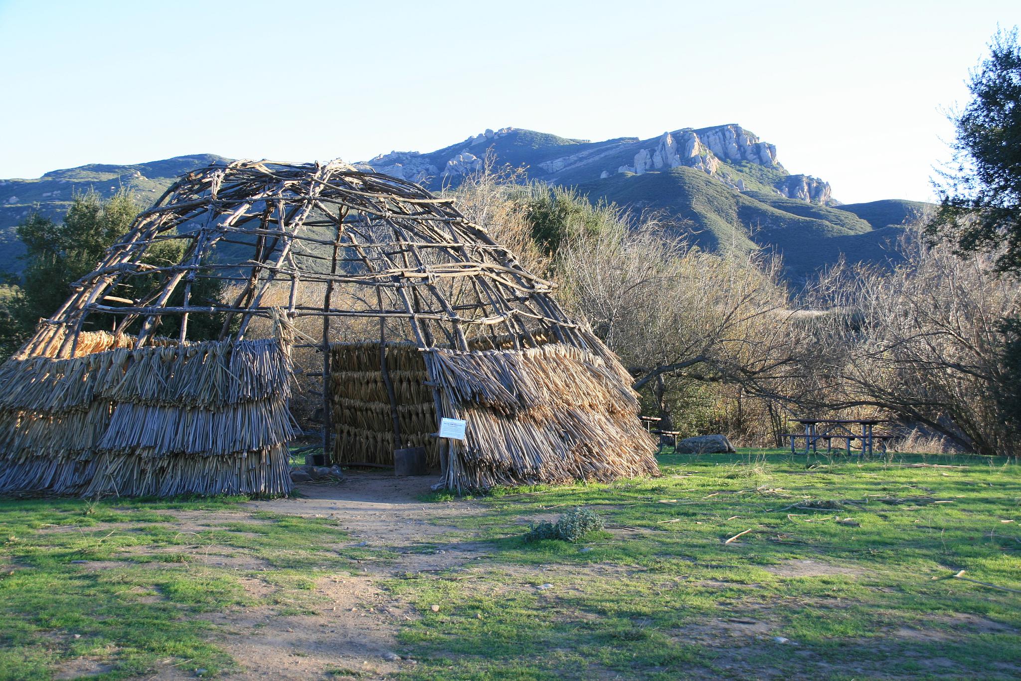
Chumash Lived Here
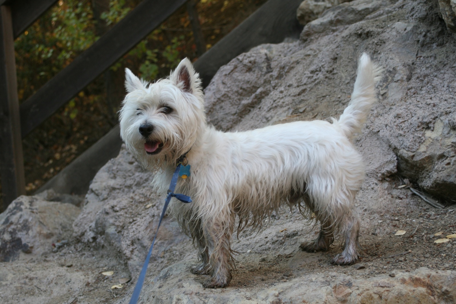
Wee Westie, Stream Forder
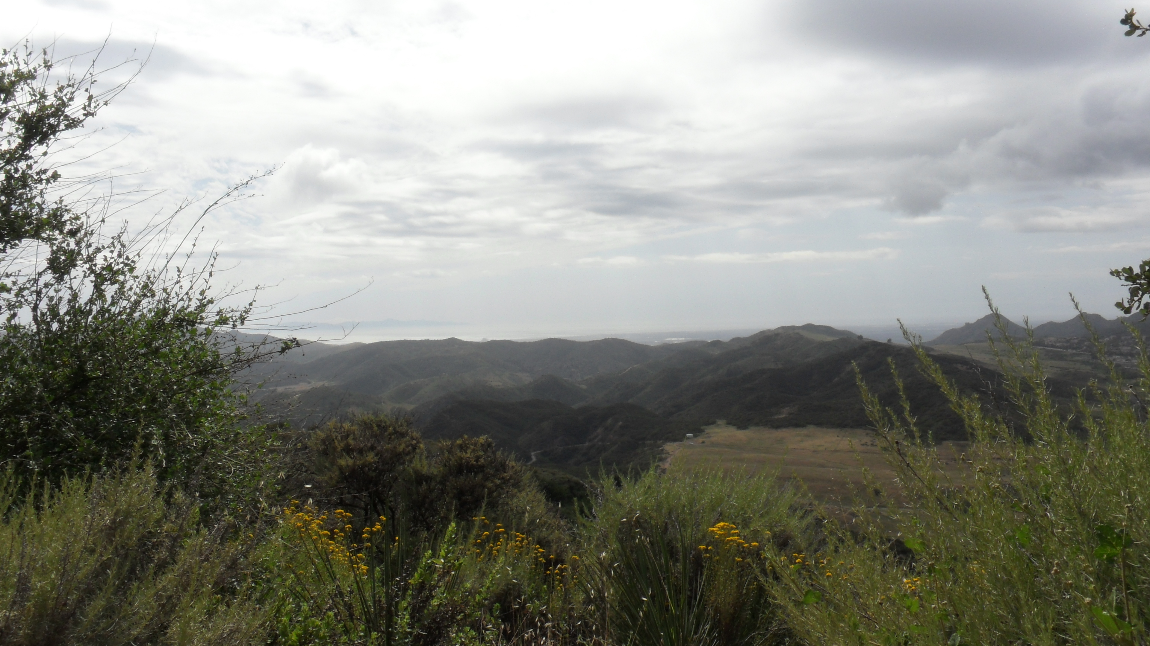
Hidden Valley Overlook Trail7

. . .
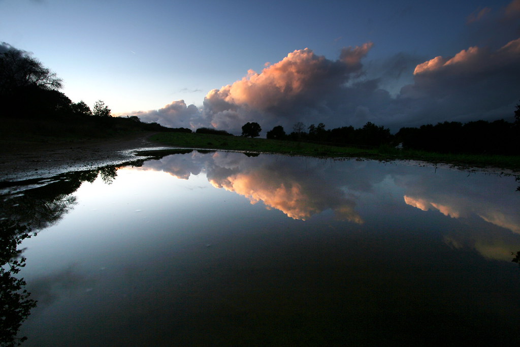
View from the shores of lake mud puddle
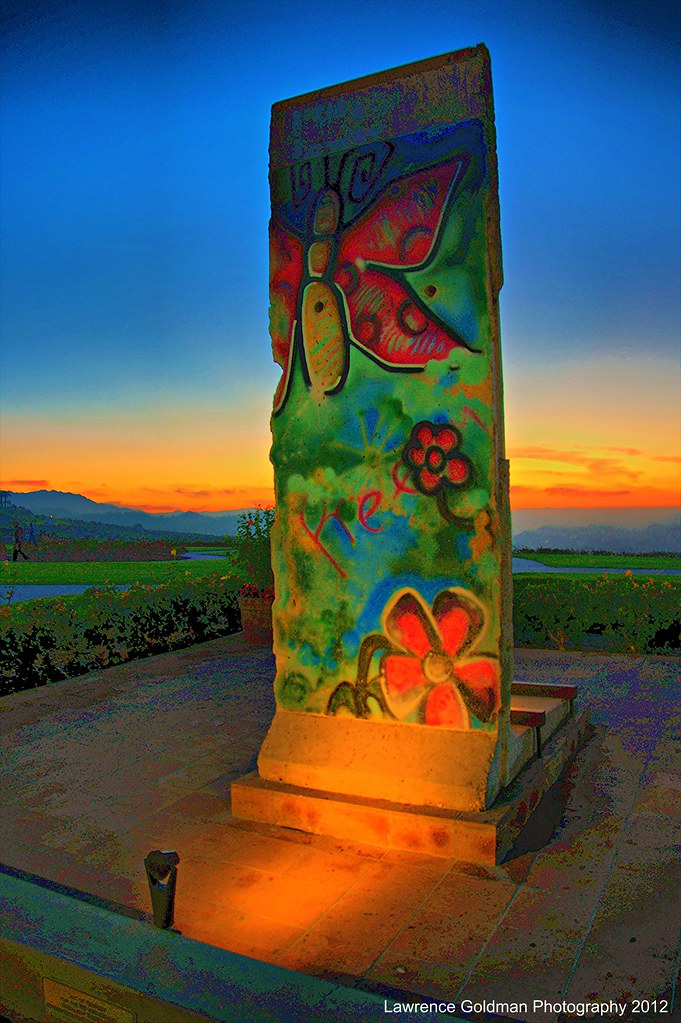
"Free" A Piece of the Berlin Wall
SATWIWA STATE PARK NEWBURY PARK CA
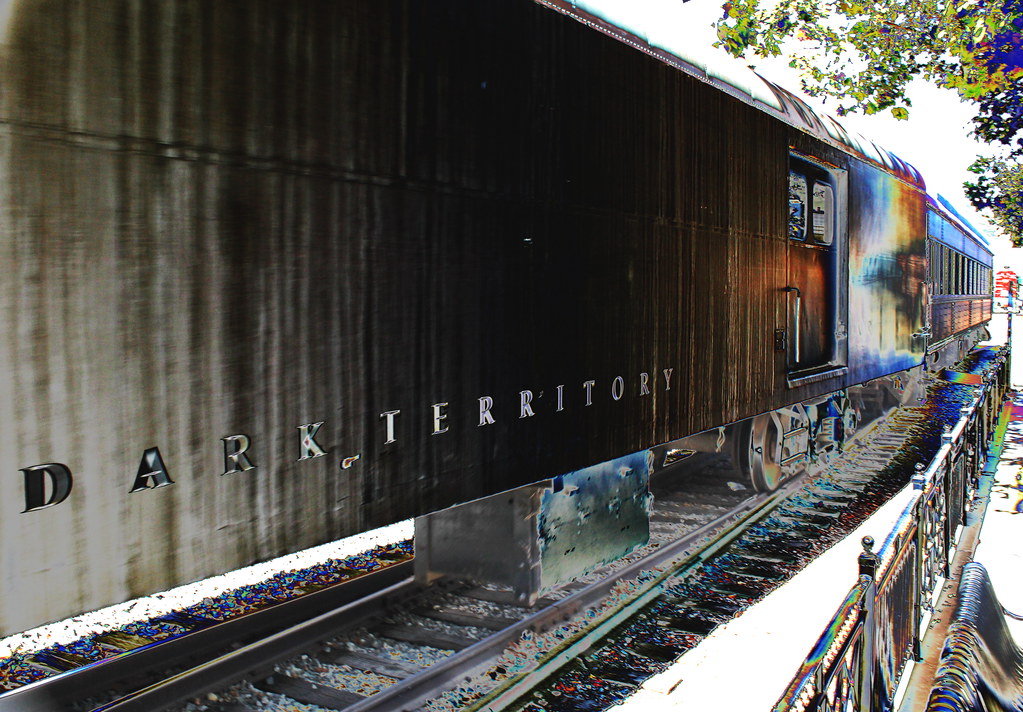
~ Dark Territory Railroad No.4 ~ Extreme Tone Curve Processing ~ View On Black Background ~
The View from the Ronald Reagan Presidential Library at Sunset
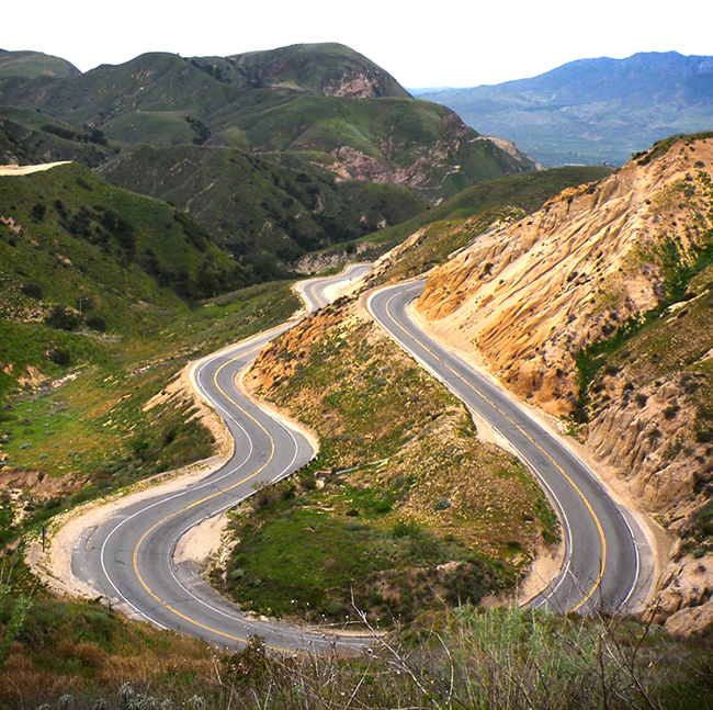
The Long and Winding Road

Profile Portrait of a Predator
Grounds of the Reagan Presidential Library at Dusk
Once Upon a Time

old Simi....

Exit (p)
Nice and green
WILDWOOD PARK,THOUSAND OAKS CALIFORNIA
Does this sunset make you thorny?

SoCal Meets Pacific Northwest

2/7/13
Santa Rosa Tree
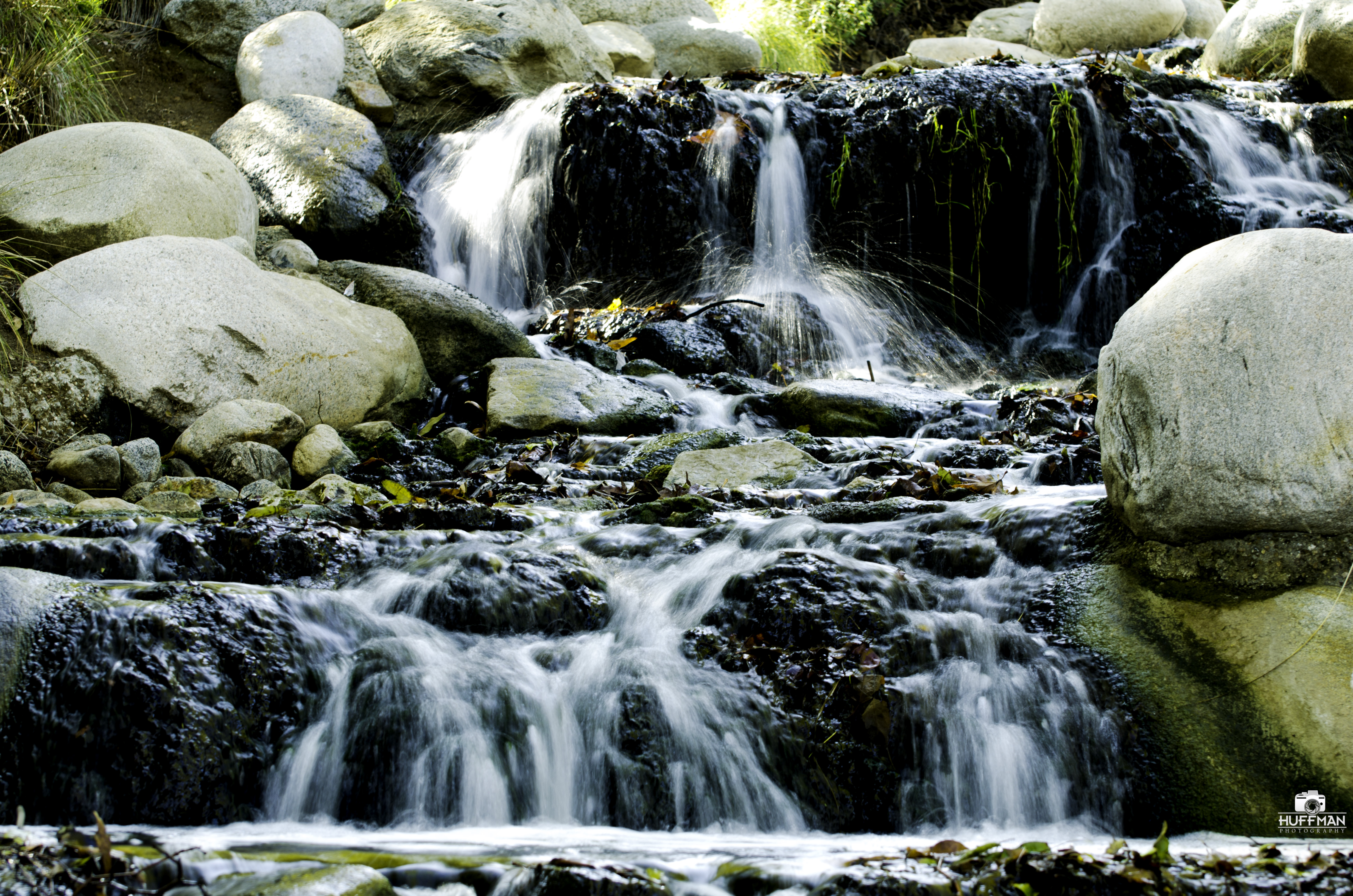
Waterfall in Oak Park

Lake Sherwood

Would you like Mustard with that?
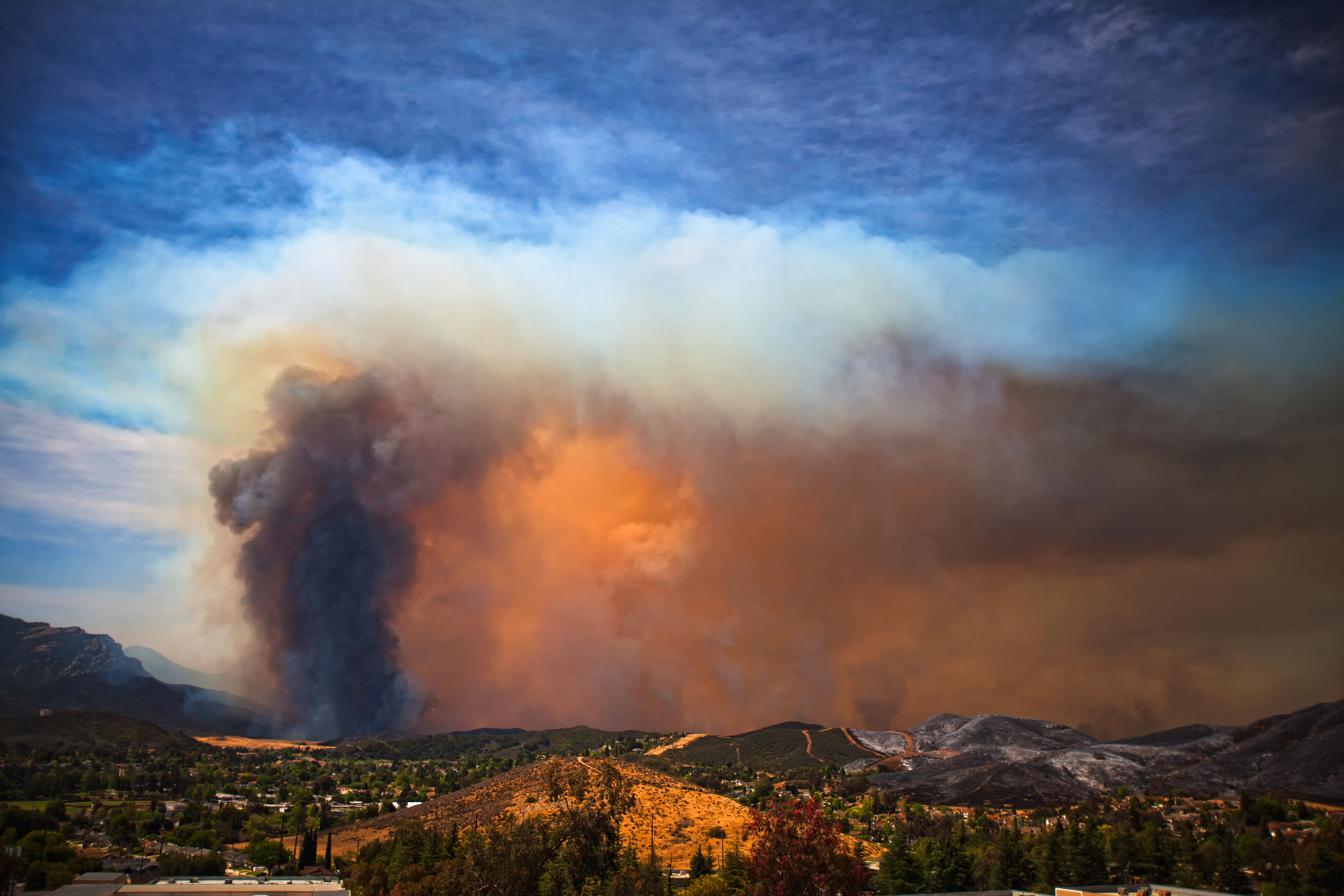
The Springs Fire
Saturday's hike in Wildwood Park

Fall Treeline • Fillmore, CA 2013
Grimes Canyon

Camera Roll-864
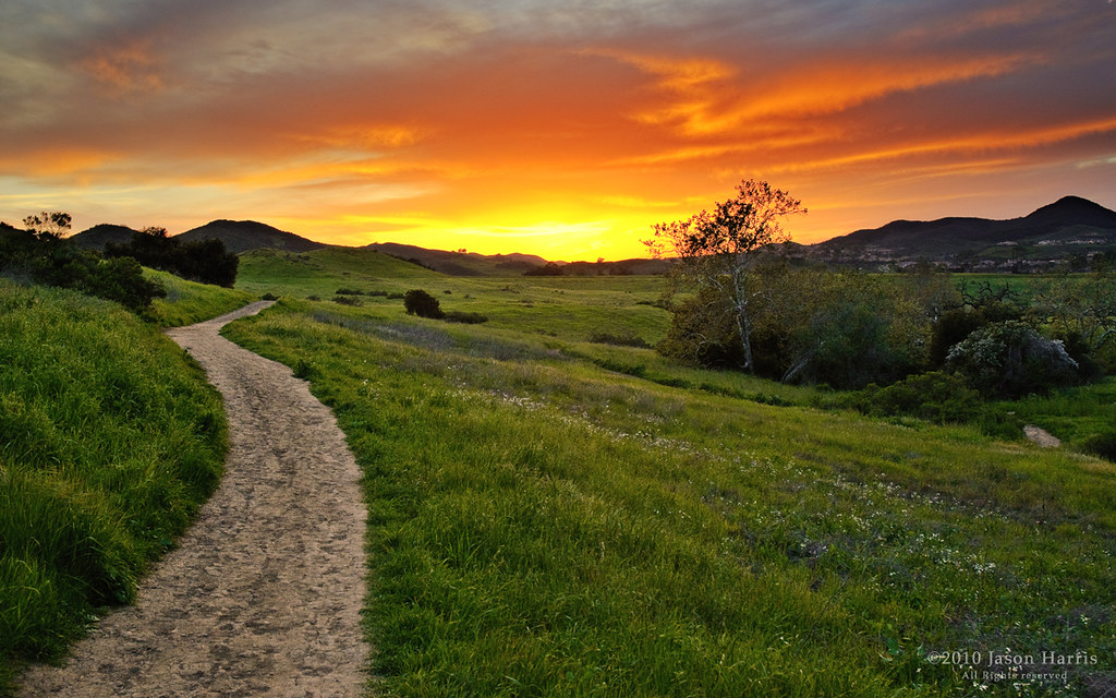
Path into the West
2011-03-21_18-09-52_720
Topographic Map of Penrose Ave, Moorpark, CA, USA
Find elevation by address:

Places near Penrose Ave, Moorpark, CA, USA:
252 Los Angeles Ave
65 Ca-118
65 Ca-118
65 Ca-118
65 Ca-118
Moorpark
171 Ca-118
Grimes Canyon Road
14370 White Sage Rd
14399 Princeton Ave
9035 Roseland Ave
13044 Sosna Ct
7675 Bradley Rd
Balcom Canyon Road
1835 E Guiberson Rd
103 Dunton Ln
California 126
512 Main St
Fillmore
533 Kensington Dr
Recent Searches:
- Elevation of Elwyn Dr, Roanoke Rapids, NC, USA
- Elevation of Congressional Dr, Stevensville, MD, USA
- Elevation of Bellview Rd, McLean, VA, USA
- Elevation of Stage Island Rd, Chatham, MA, USA
- Elevation of Shibuya Scramble Crossing, 21 Udagawacho, Shibuya City, Tokyo -, Japan
- Elevation of Jadagoniai, Kaunas District Municipality, Lithuania
- Elevation of Pagonija rock, Kranto 7-oji g. 8"N, Kaunas, Lithuania
- Elevation of Co Rd 87, Jamestown, CO, USA
- Elevation of Tenjo, Cundinamarca, Colombia
- Elevation of Côte-des-Neiges, Montreal, QC H4A 3J6, Canada