Elevation of White Oak Mountain Wildlife Management Area, Chatham, VA, USA
Location: United States > Virginia > Pittsylvania County > Blairs >
Longitude: -79.329656
Latitude: 36.7899873
Elevation: 248m / 814feet
Barometric Pressure: 98KPa
Elevation Map:
Satellite Map:
Related Photos:

View from my window

Ashley's view from the Demo Derby last night.
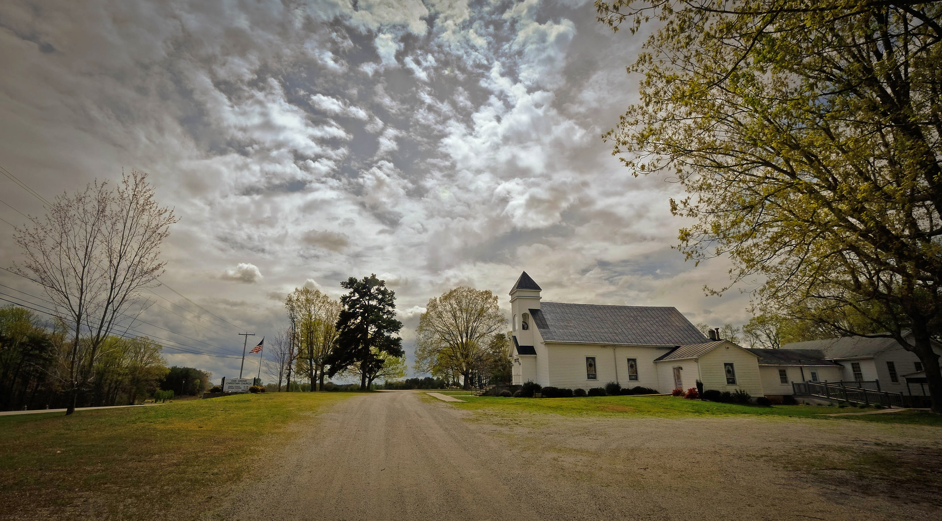
Oak Grove Christian Church, Chatham, VA
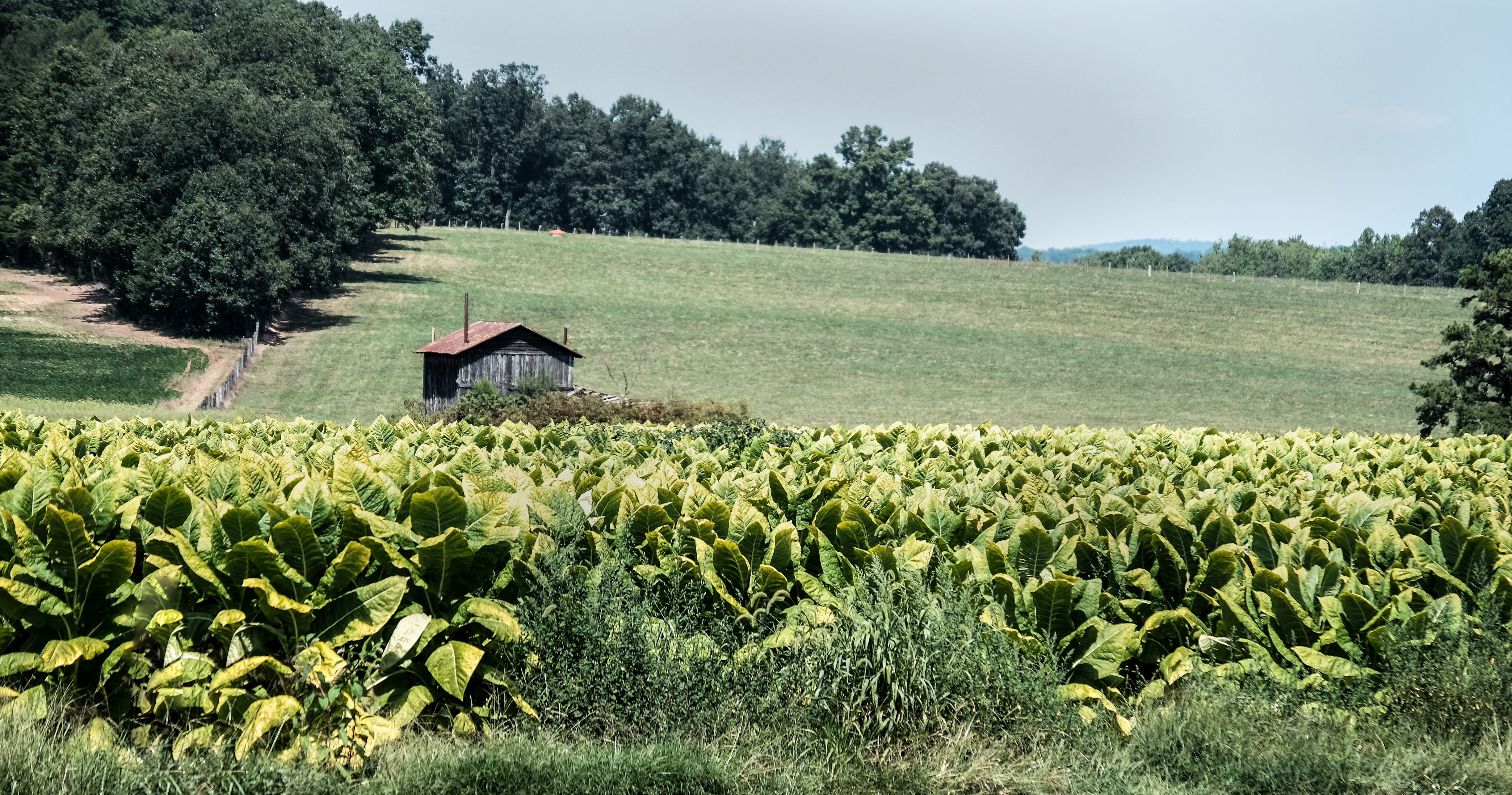
Pittsylvania Tobacco
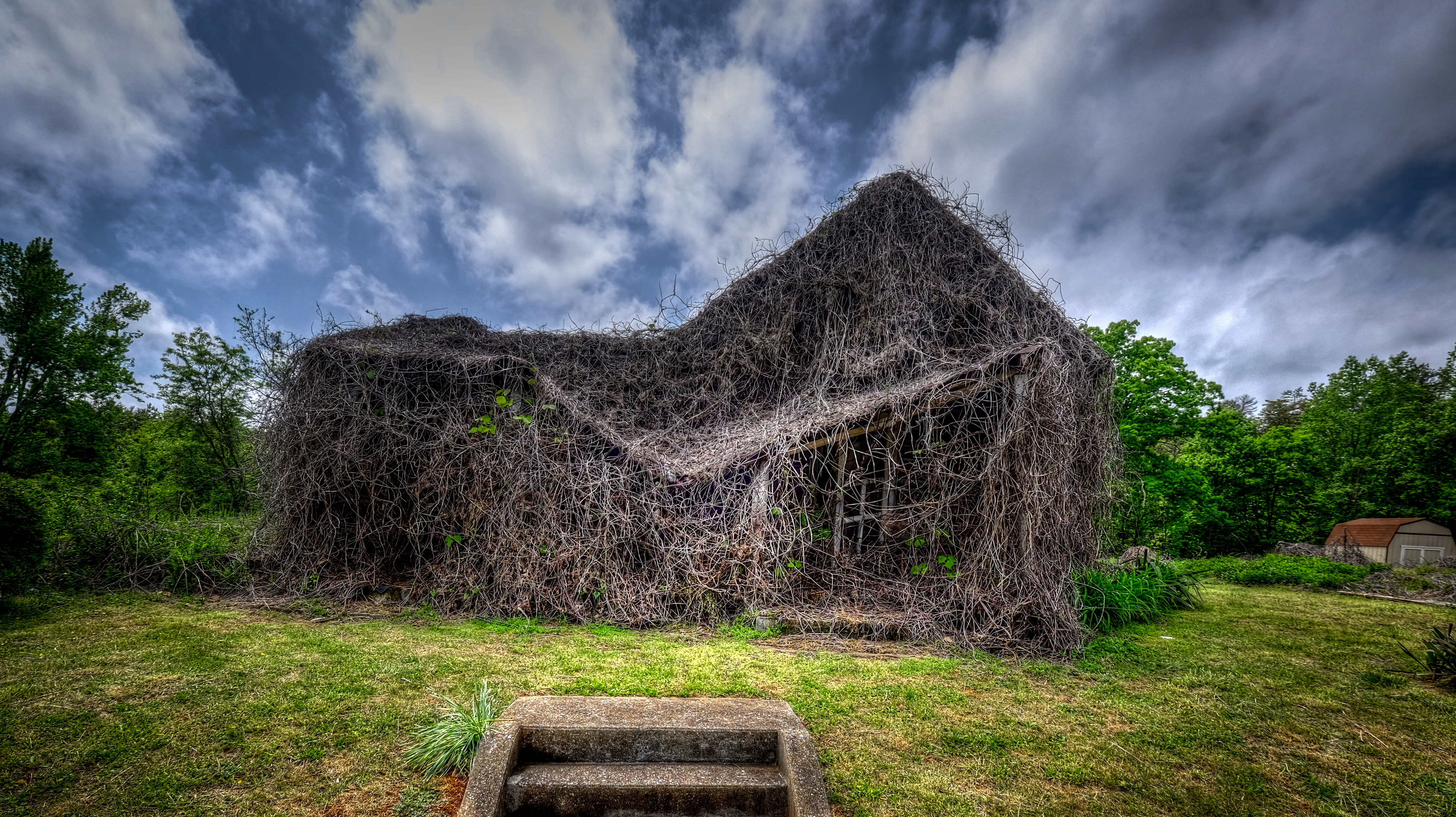
House of Vines_
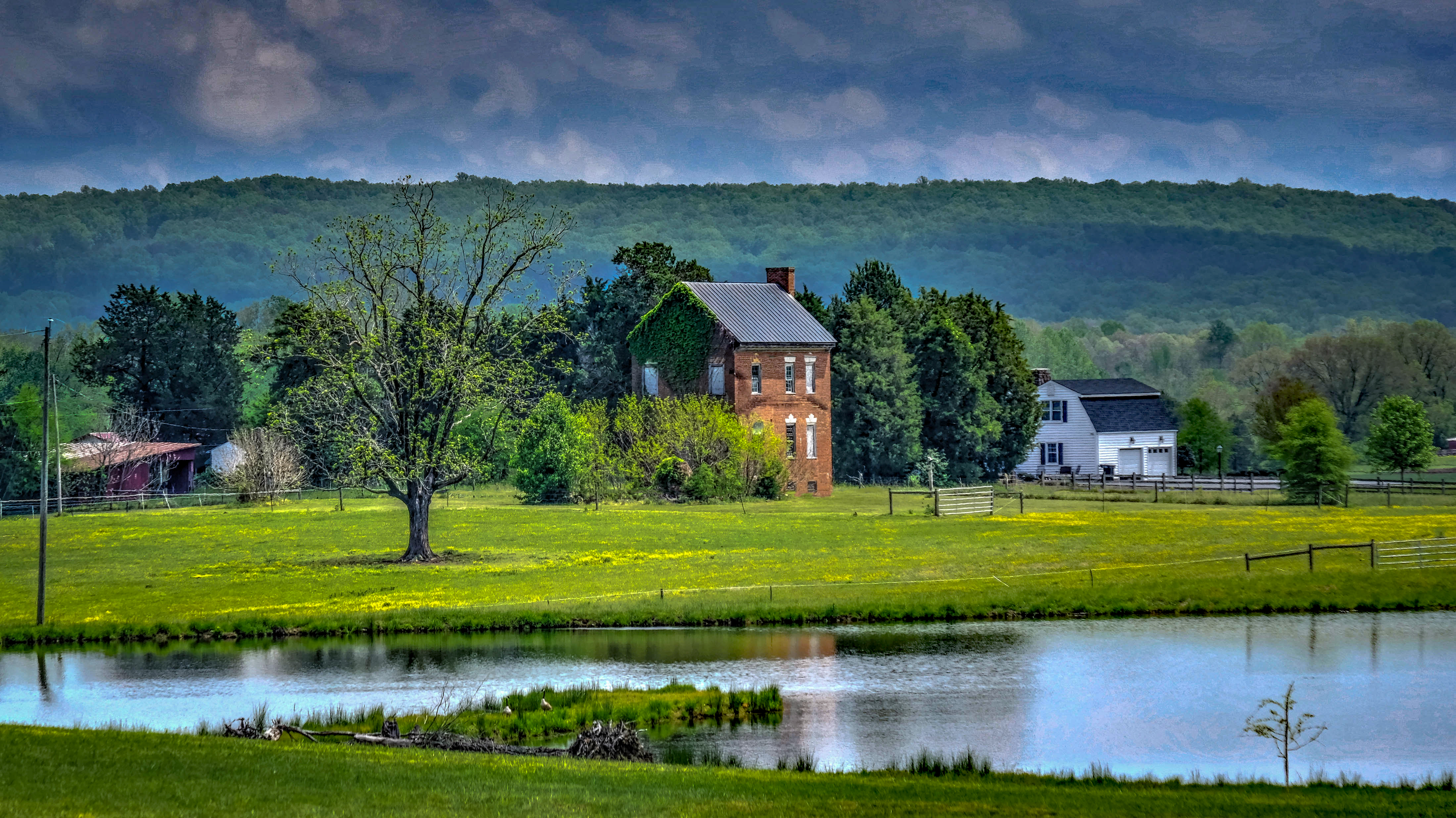
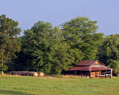
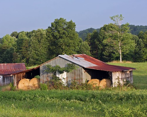
Moses House with Pond
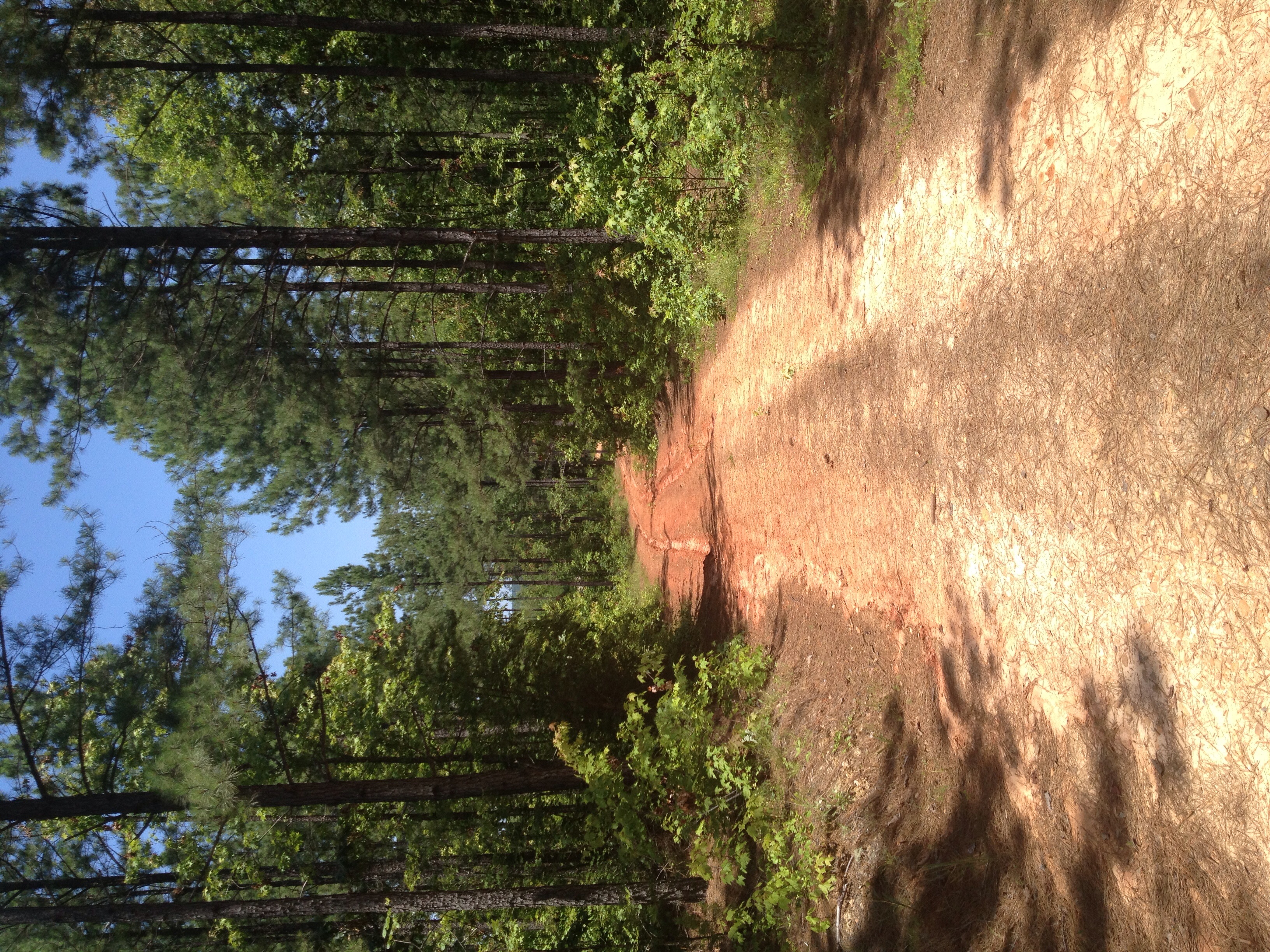
red clay road

House of Vines
IMG_3332_edited-1
IMG_3331_edited-1

Moo Mooooo
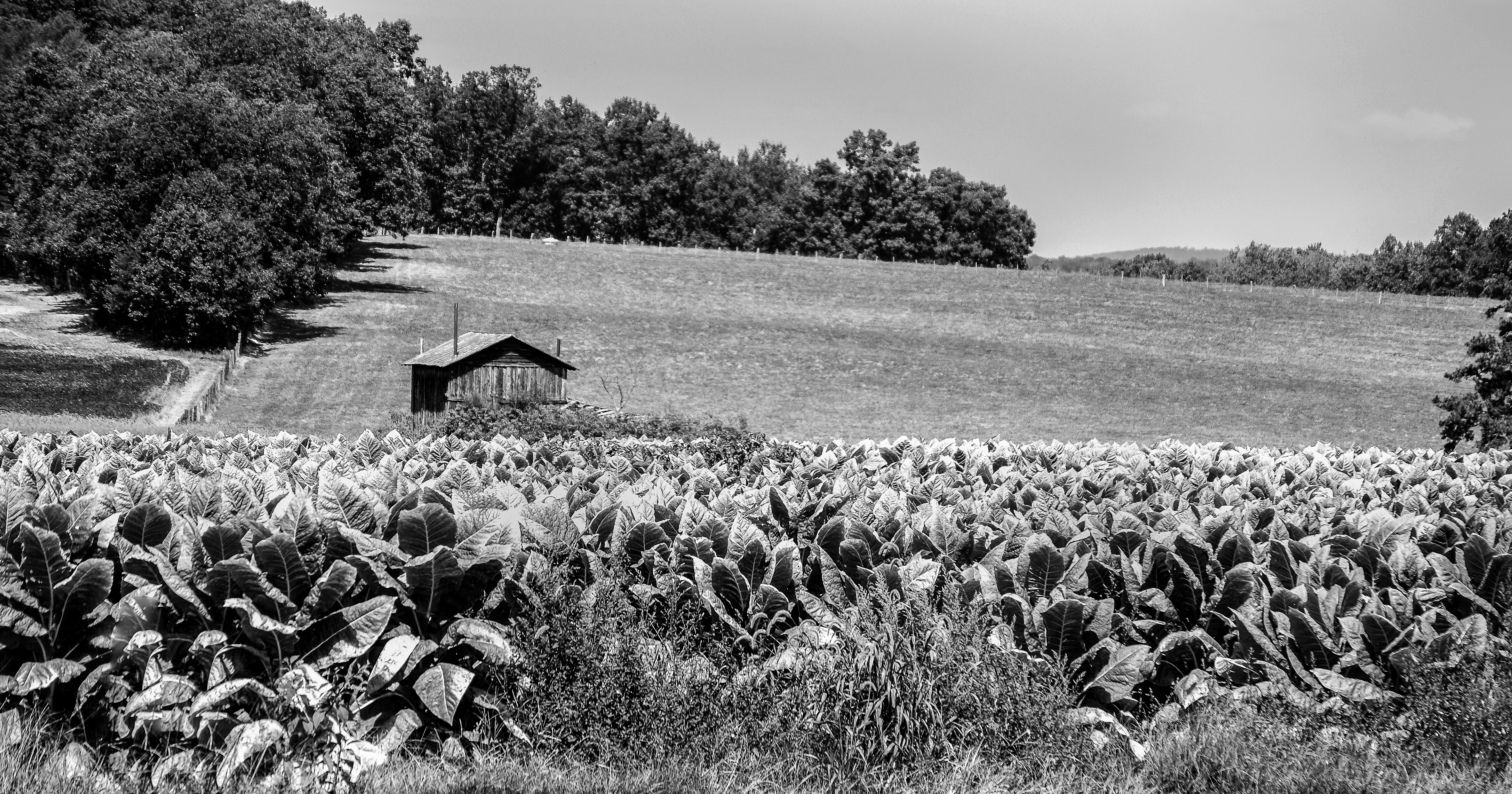
Old Mine Road Tobacco and Barn_BW

Sunrise in Chatham, Virginia - #chatham #chathamva #sunrise #sun #radiance #sunrays #pittsylvaniacounty #visitvirginia #explorevirginia #theamericancollective #country_features #the_home_front #countryside #scene #scenery #landscape #virginia #picoftheday
Topographic Map of White Oak Mountain Wildlife Management Area, Chatham, VA, USA
Find elevation by address:

Places near White Oak Mountain Wildlife Management Area, Chatham, VA, USA:
12433 Us-29
12433 Us-29
Banister
Chatham
Dry Fork
Whittle St, Chatham, VA, USA
3825 Strader Rd
Java
Halifax Rd, Java, VA, USA
Galveston Rd, Chatham, VA, USA
Riddle Road
Galveston Rd, Gretna, VA, USA
520 Petty Ln
997 Petty Ln
Ingram
Riceville Rd, Java, VA, USA
Thompson Store Rd, Ingram, VA, USA
Vernon Hill
Leda Rd, Nathalie, VA, USA
Recent Searches:
- Elevation of Tenjo, Cundinamarca, Colombia
- Elevation of Côte-des-Neiges, Montreal, QC H4A 3J6, Canada
- Elevation of Bobcat Dr, Helena, MT, USA
- Elevation of Zu den Ihlowbergen, Althüttendorf, Germany
- Elevation of Badaber, Peshawar, Khyber Pakhtunkhwa, Pakistan
- Elevation of SE Heron Loop, Lincoln City, OR, USA
- Elevation of Slanický ostrov, 01 Námestovo, Slovakia
- Elevation of Spaceport America, Co Rd A, Truth or Consequences, NM, USA
- Elevation of Warwick, RI, USA
- Elevation of Fern Rd, Whitmore, CA, USA