Elevation of Chatham, VA, USA
Location: United States > Virginia > Pittsylvania County > Chatham-blairs >
Longitude: -79.398080
Latitude: 36.8256943
Elevation: 226m / 741feet
Barometric Pressure: 99KPa
Elevation Map:
Satellite Map:
Related Photos:

View from my window
Ray Mill Road Side View

Ashley's view from the Demo Derby last night.

IMG_3343.CR2
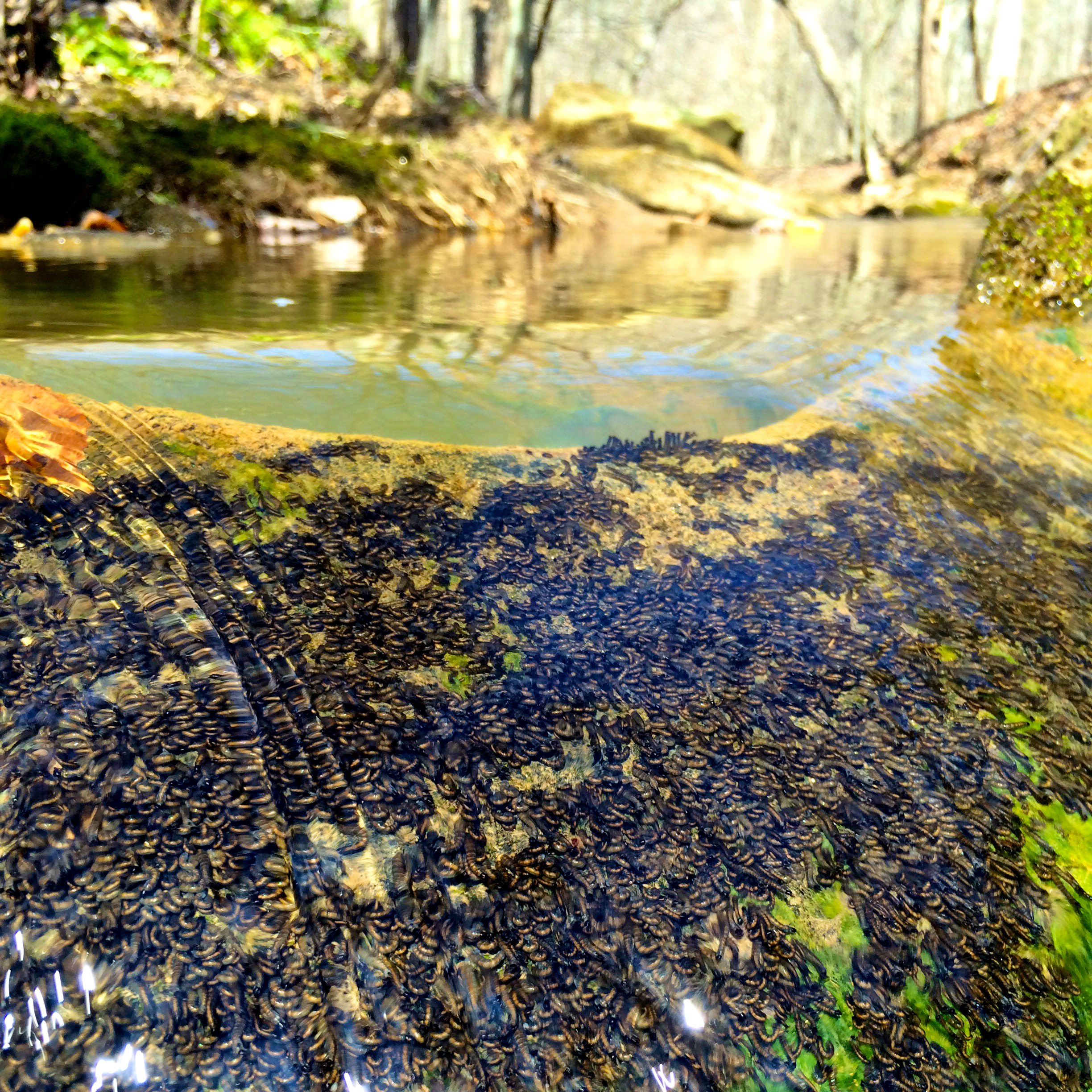
Blackfly larvae
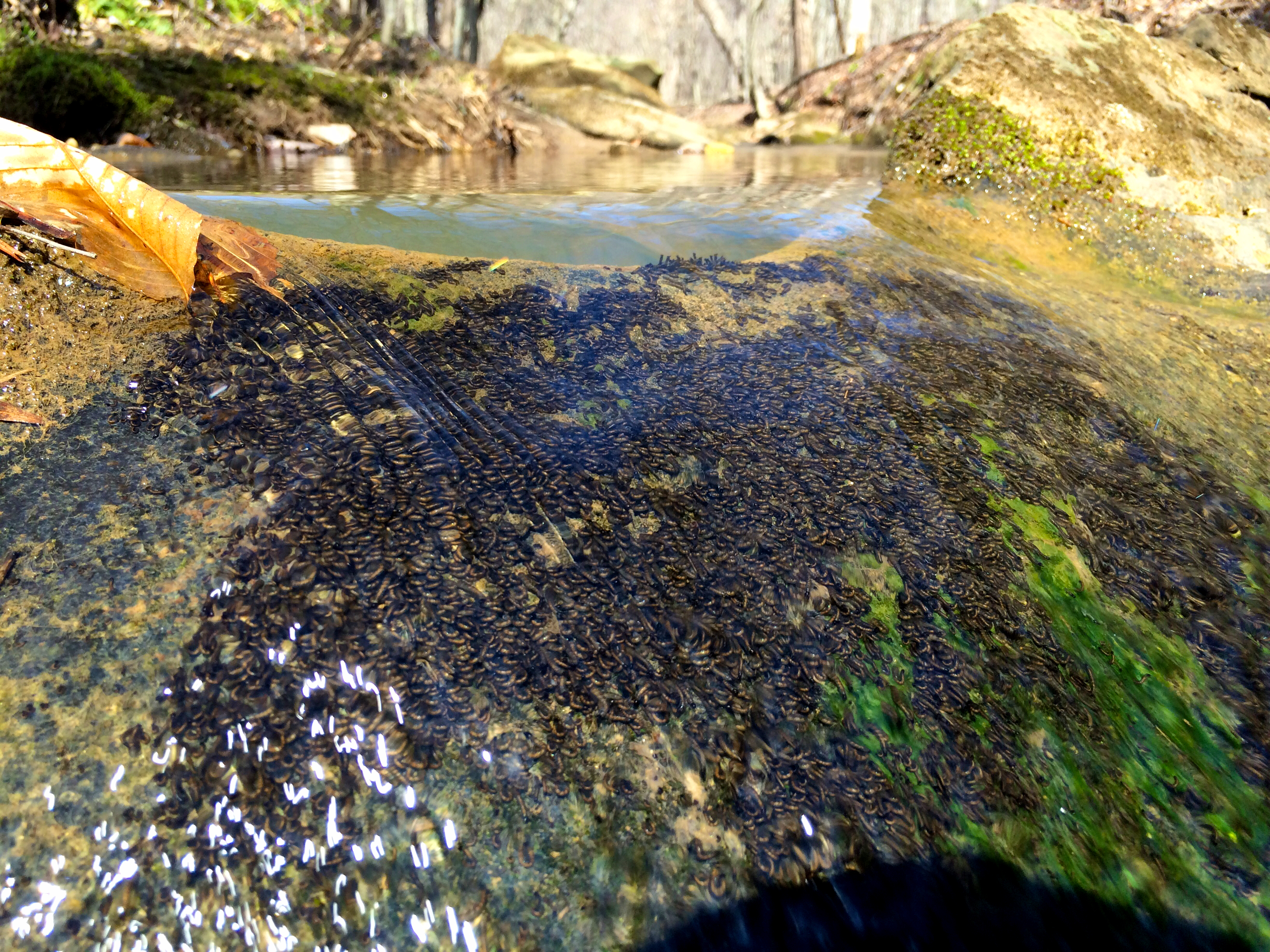
Blackfly larvae

Clouds Over Little Cherrystone - Power Lines Removed

Cherbury Cottage
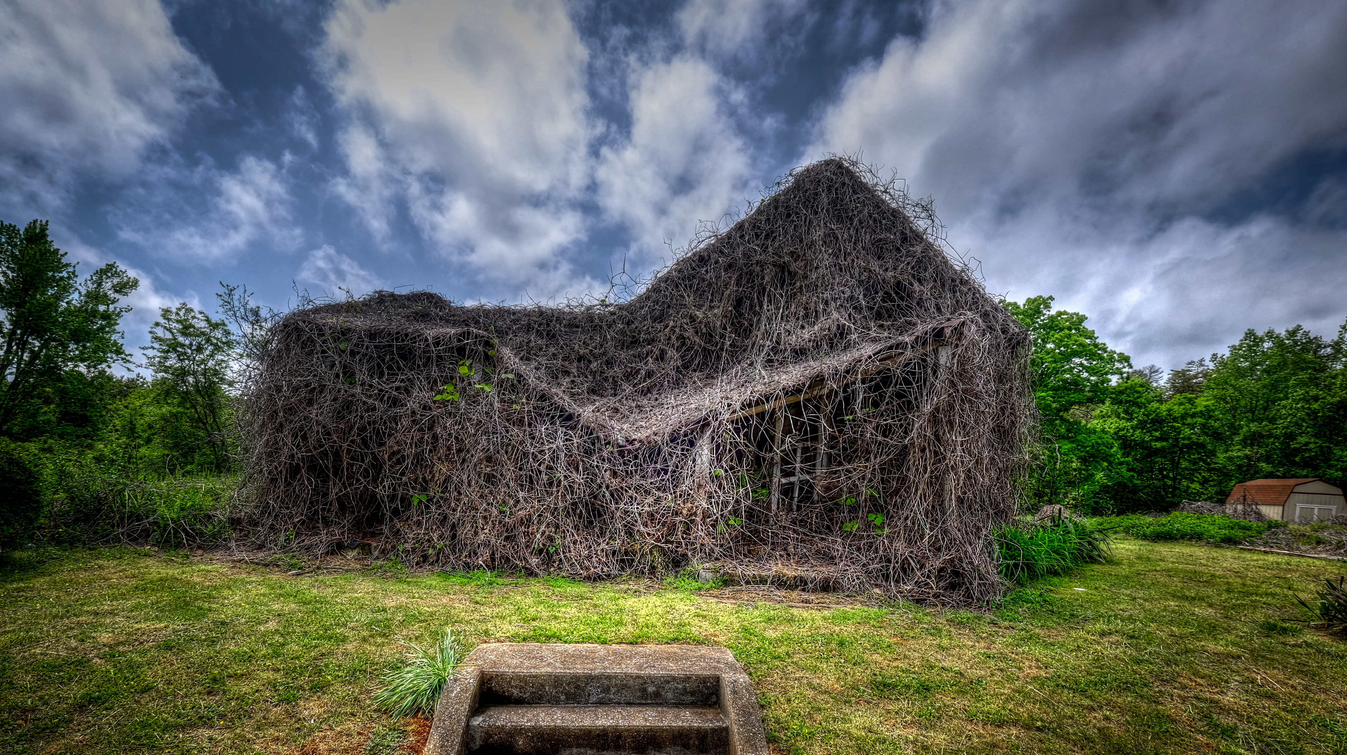
House of Vines_
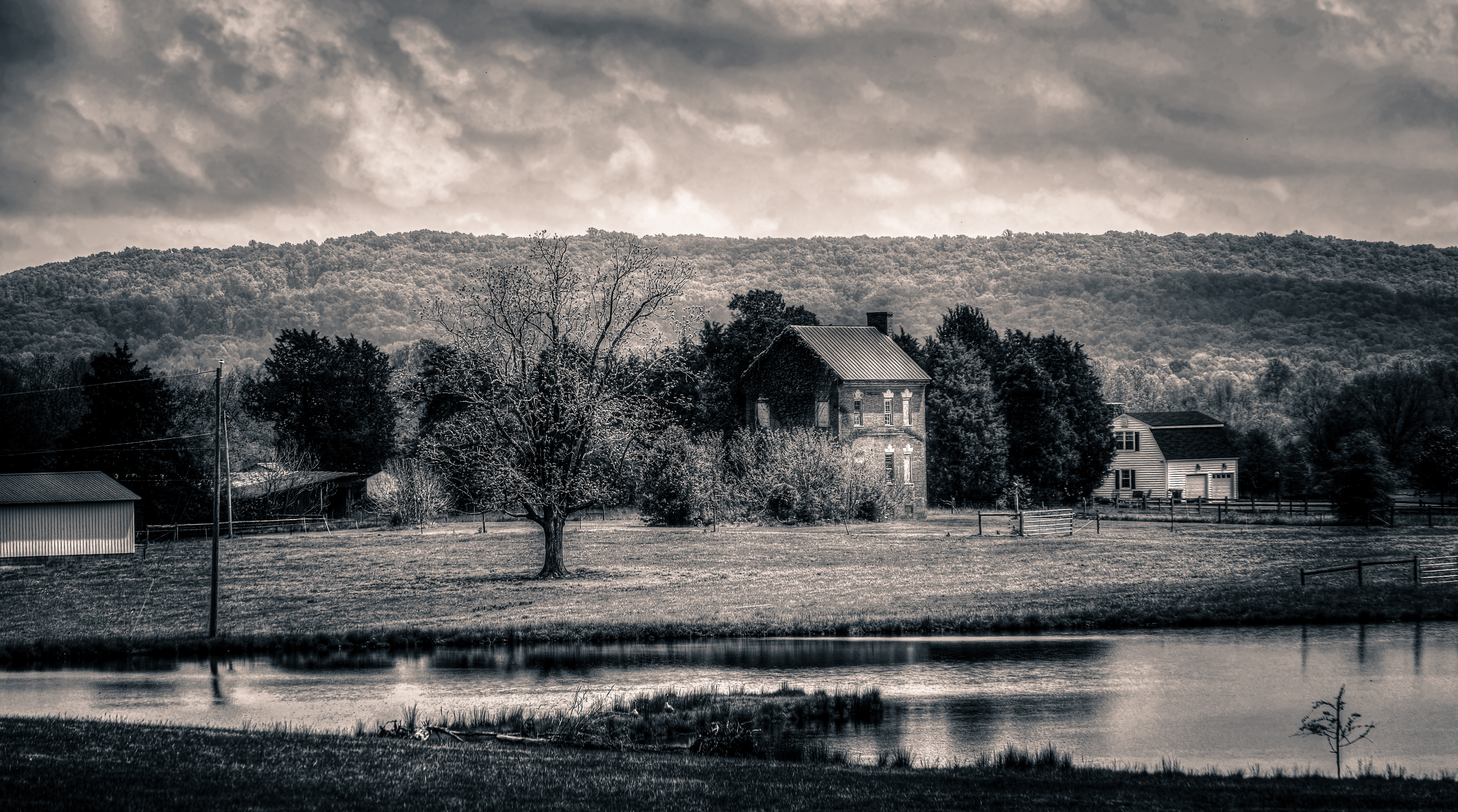
Little Cherrystone with Clouds_BW
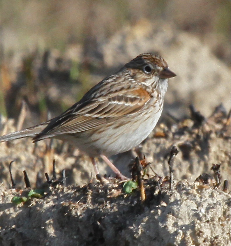
Vesper Sparrow 01

House of Vines

RI038919.JPG

Ruby-Throated Hummingbird (Archilochus colubris)
IMG_3332_edited-1
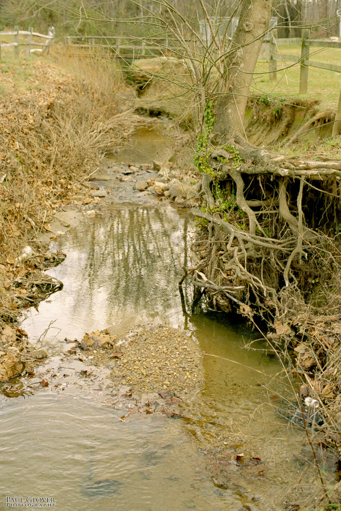
Roots in the stream
IMG_3331_edited-1
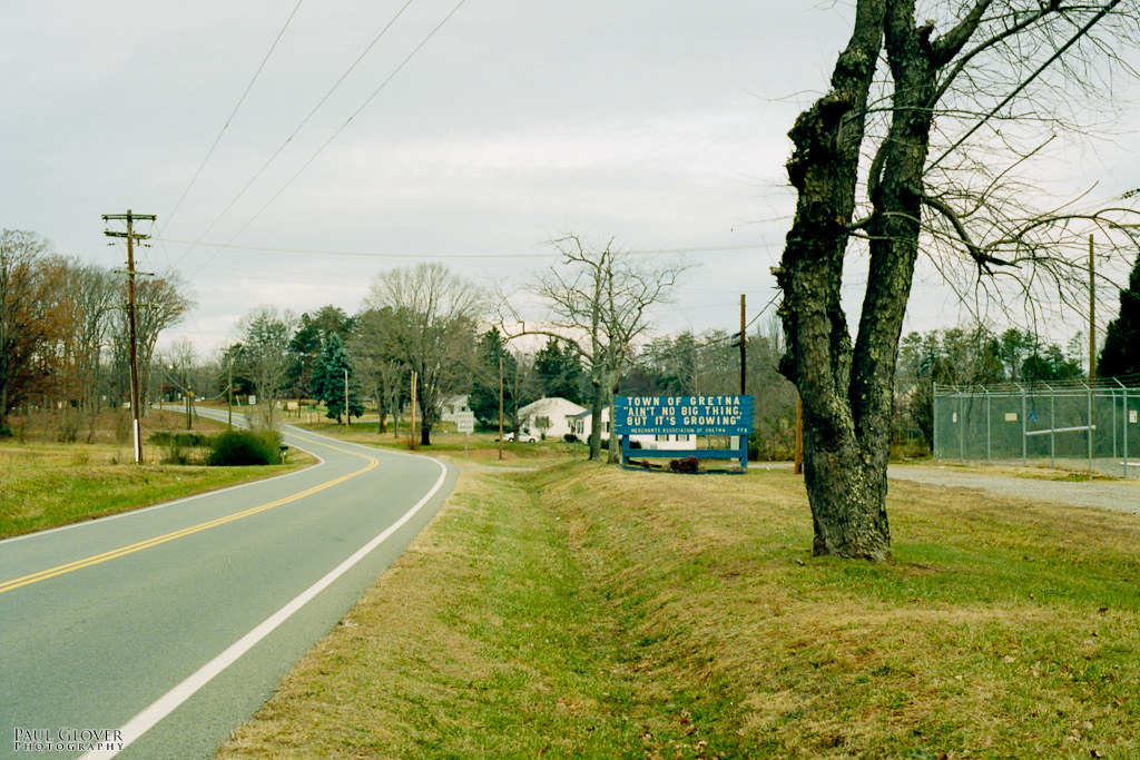
Ain't A Big Thing

Moo Mooooo
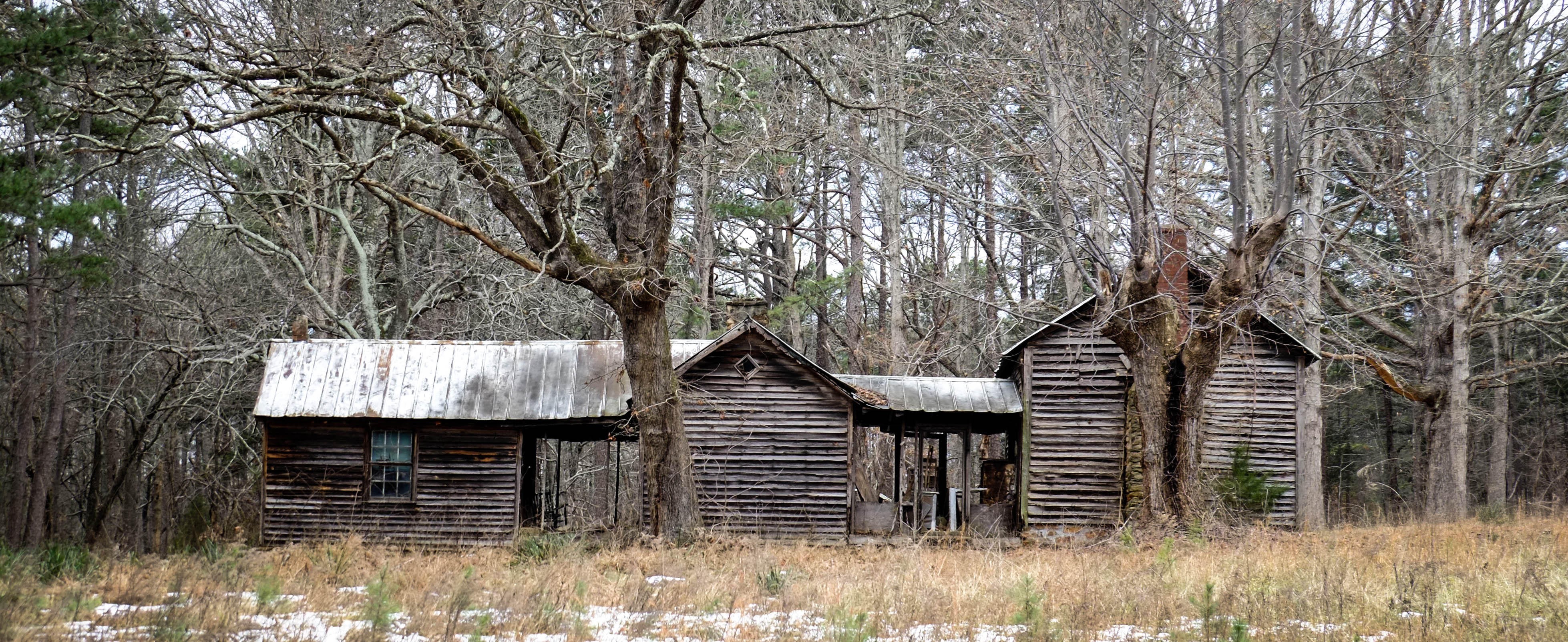
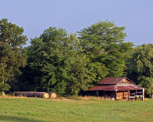
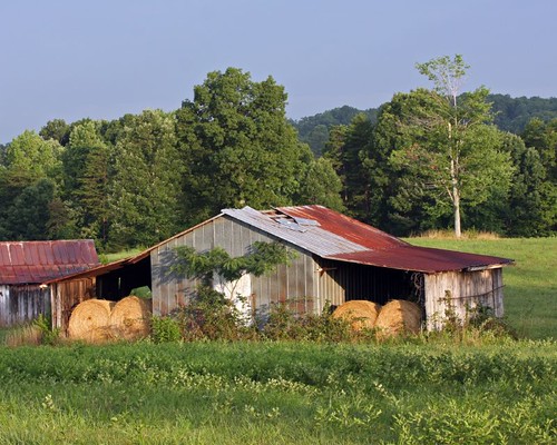
Log Barn by Pond
Topographic Map of Chatham, VA, USA
Find elevation by address:

Places in Chatham, VA, USA:
Places near Chatham, VA, USA:
Whittle St, Chatham, VA, USA
12433 Us-29
12433 Us-29
Riddle Road
Dry Fork
White Oak Mountain Wildlife Management Area
3825 Strader Rd
Galveston Rd, Chatham, VA, USA
Galveston Rd, Gretna, VA, USA
Banister
Java
Halifax Rd, Java, VA, USA
520 Petty Ln
997 Petty Ln
Riceville Rd, Java, VA, USA
Ingram
Leda Rd, Nathalie, VA, USA
Thompson Store Rd, Ingram, VA, USA
Vernon Hill
Recent Searches:
- Elevation of Lampiasi St, Sarasota, FL, USA
- Elevation of Elwyn Dr, Roanoke Rapids, NC, USA
- Elevation of Congressional Dr, Stevensville, MD, USA
- Elevation of Bellview Rd, McLean, VA, USA
- Elevation of Stage Island Rd, Chatham, MA, USA
- Elevation of Shibuya Scramble Crossing, 21 Udagawacho, Shibuya City, Tokyo -, Japan
- Elevation of Jadagoniai, Kaunas District Municipality, Lithuania
- Elevation of Pagonija rock, Kranto 7-oji g. 8"N, Kaunas, Lithuania
- Elevation of Co Rd 87, Jamestown, CO, USA
- Elevation of Tenjo, Cundinamarca, Colombia