Elevation of White Mountain Dr, Chester, VA, USA

Location: United States > Virginia > Chesterfield County > Bermuda > Chester >

Longitude: -77.314057

Latitude: 37.3634587

Elevation: -10000m / -32808feet

Barometric Pressure: 295KPa

Elevation Map:

elevation map of White Mountain Dr, Chester, VA, USA

Satellite Map:

Satellite map of White Mountain Dr, Chester, VA, USA

Related Photos:

field virginia nikon war fort petersburg battle confederate civil civilwar national american cannon battlefield stedman nikond90 unionvictory battleoffortstedman cannonunion artillerylandscape
Fort Stedman
autumn usa storm color nature beauty field grass horizontal landscape outdoors photography virginia day image farm wheat grain meadow nopeople full growth crop harmony frame fields crops agriculture abundance harvesting absence seaofgrain bybilldickinsonskynoircom
Glowing Fields of Grain
pink virginia day fair civilwar hopewell crepemyrtle citypoint appomattoxmanor
Appomattox Manor 02
201602120819 2016 t2016 ecw video bridge ramp high infrastructure road pocahontas va bensley rtei095
Steep Ramps to High Bridge
moon moonrise evening nature naturelover virginia river water lunar birds beautifullight pink orange blue yellow wildlife virginianature lowlight moonshots skyshots mooninshot skyphoto jamesriver twilight landscape waterscape riverscape
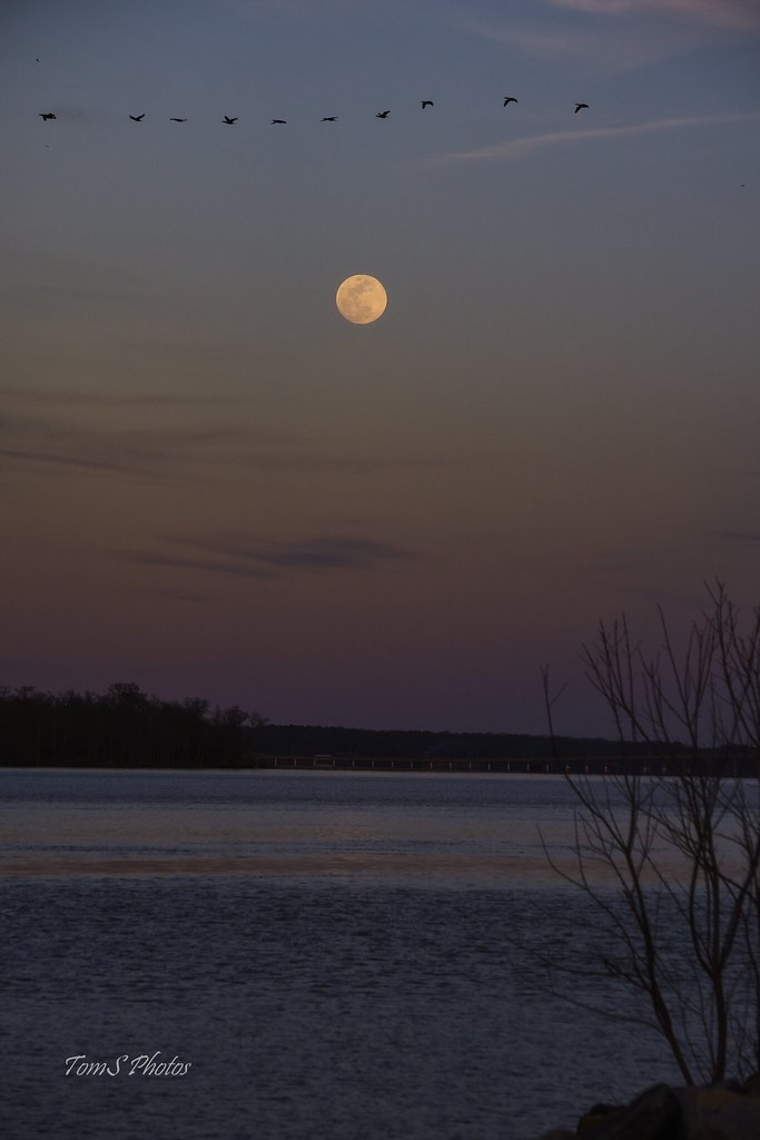
♫I love to sing-a about the moon-a and the June-a and the spring-a♫
virginia henricocounty parks nationalparks richmondnationalbattlefieldpark battlefields civilwarbattlefields malvernhillbattlefield flowersandplants unknownplants weeds driedweeds warmsunlight february2014 february 2014 canon24704l
Consolation Prize
square sierra squareformat iphoneography instagramapp uploaded:by=instagram foursquare:venue=4d963c202bd6f04d7ed63150
Great view of the clouds this morning. #weather #ccvawx #rvawx
panosabotage flipped
Crossing That Bridge
Hopewell rt. 10
theamericancivilwar thewarbetweenthestates malvernhill virginia sevendaysbattles richmondnationalbattlefield
Malvern Hill
river james virginia va westover allalongthejames isadifferentview
the view changes from where you are standing
THE COOL LINES OF MARBLE, THE VIEW FROM CORPORAL FOLLAND'S GRAVE
november virginia churches 2008 nrhp canon24105l charlescitycounty countrychurches november2008 colonialchurches takeitoutside episcopalchurches westoverchurch
Westover Church - church of 3 presidents
aerial farmland transportation unitedstates wetlands nanticokeriver food nature farm farming rivers agriculture waterbodies habitats tributary business geocity geo:country=unitedstates camera:make=nikon exif:isospeed=800 camera:model=nikond60 exif:model=nikond60 geostate exif:make=nikon exif:lens=350mmf18 exif:aperture=ƒ63 exif:focallength=35mm stateofconservationrelease
Nanticoke River Wetlands
square squareformat lomofi iphoneography instagramapp uploaded:by=instagram foursquare:venue=4e290b1418a83a1362391998
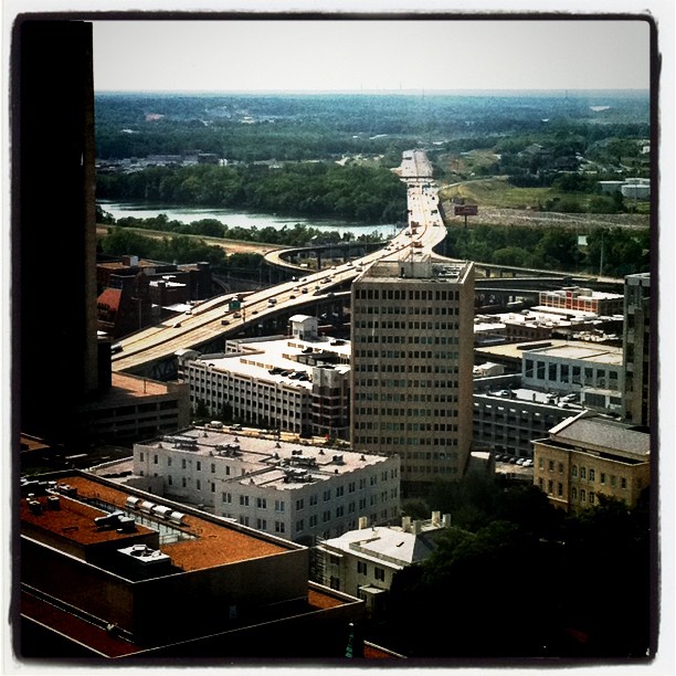
View from the top of city hall
brick home architecture james virginia plantation shirley mansion jamesriver
A Home on the James
virginia kitchens september 2010 plantations outbuildings nationalhistoriclandmark nrhp canon24105l shirleyplantation charlescitycounty jamesriverplantations virginiaplantations september2010
Colonial Kitchen
bridges jamesriver dgca
River view from Henricus
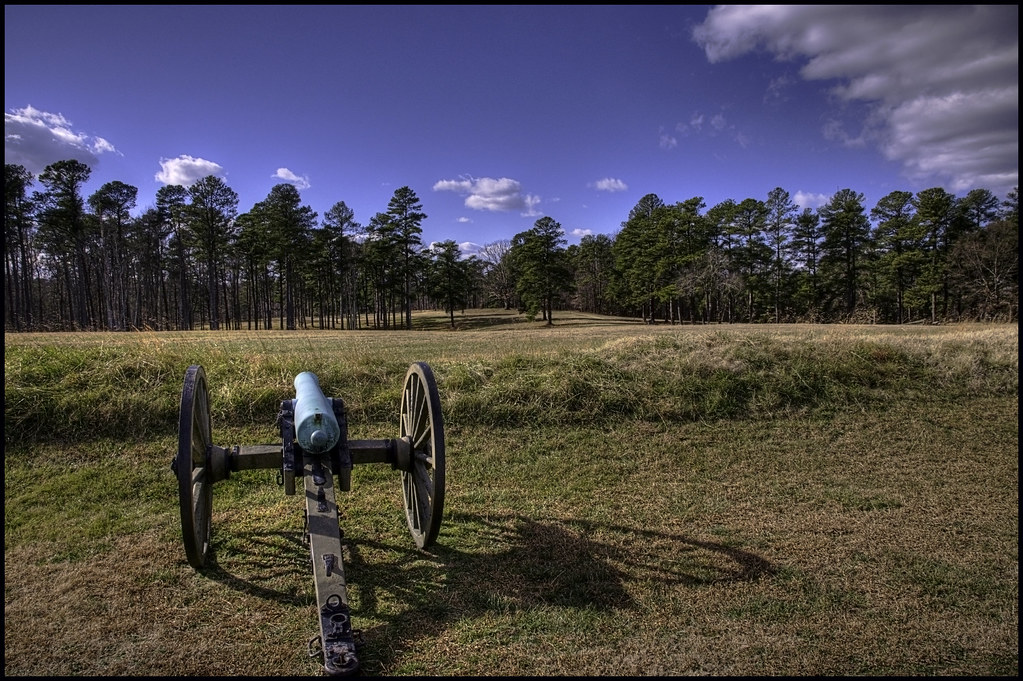
autumn fall virginia richmond civilwar cannon battlefield preservation malvernhill sevendays cwpt sevendayscampaign
Autumn Cannon
house brick architecture james virginia plantation shirley 1700s
Shirley Plantation
vavirginia lynaugh mikelynaugh elkotractelkotractlostcitylostcityghosttownghosttownrichmond
Elko Tract - The Lost City of Richmond
river virginia va berkely jamesriver tiltshift neingrenze neingrenze5000t
when I go away
blue storm water weather night clouds river landscape virginia nikon richmond lightning storms d80 goldmedalwinner flickraward goldstaraward nikonflickraward cloudslightningstorms nikonflickrawardgold
Uhhh, Skipper?
virginia us jen unitedstates jennifer jenny henrico goellnitz jengoellnitz jennifergoellnitz
Malvern Hill
Standing All Alone
colonialheights virginia unitedstates us djimavicpro aerial
my street
storm river water clouds
Calm Waters, Stormy Sky (Explored)
colonialheights virginia unitedstates us djimavicpro aerial
DJI_0021 copy
colonialheights virginia unitedstates us djimavicpro aerial
DJI_0024 copy
colonialheights virginia unitedstates us djimavicpro aerial
DJI_0016school copy
colonialheights virginia unitedstates us djimavicpro aerial
DJI_0030 copy
colonialheights virginia unitedstates us djimavicpro aerial
DJI_0030blurr copy
park army richmond confederate civilwar cannon soldiers battlefield petersberg ftlee battery5
Confederate Cannon "Battery 5"
railroad industry skyline landscape virginia us industrial factory unitedstates va hopewell 2015 sepiaprint
Honeywell Chemical Plant
2019-05-09_10-50-59
nikond7500 henricus richmond virginia river jamesriver
Henricus Panorama