Elevation of Charles City County, VA, USA
Location: United States > Virginia >
Longitude: -77.148516
Latitude: 37.4018216
Elevation: 29m / 95feet
Barometric Pressure: 101KPa
Elevation Map:
Satellite Map:
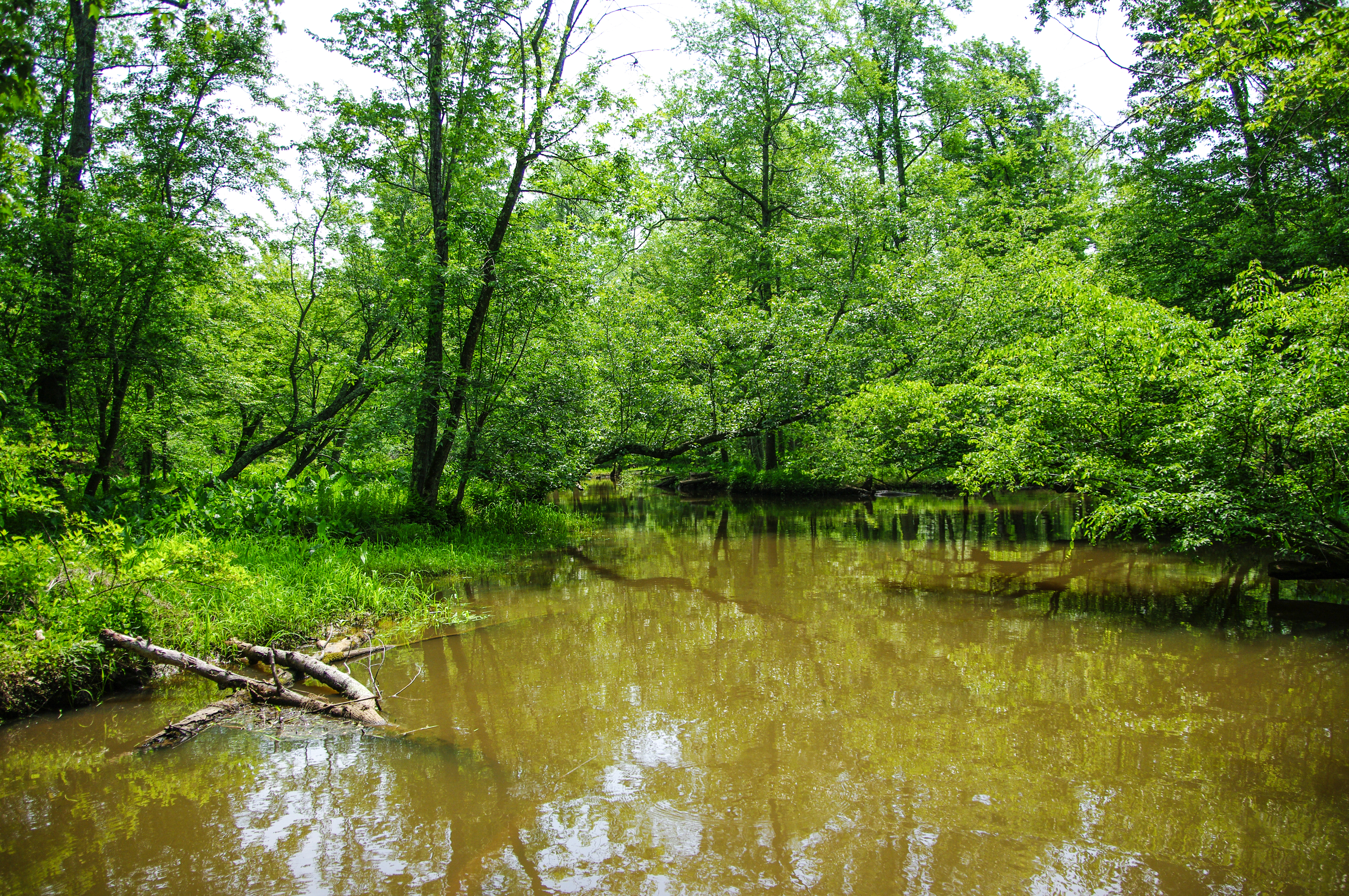
Related Photos:
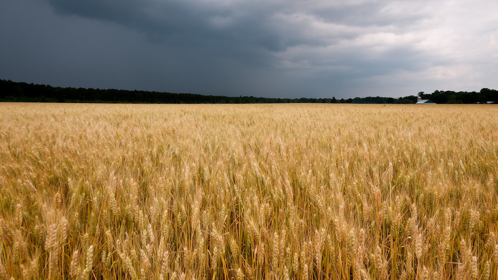
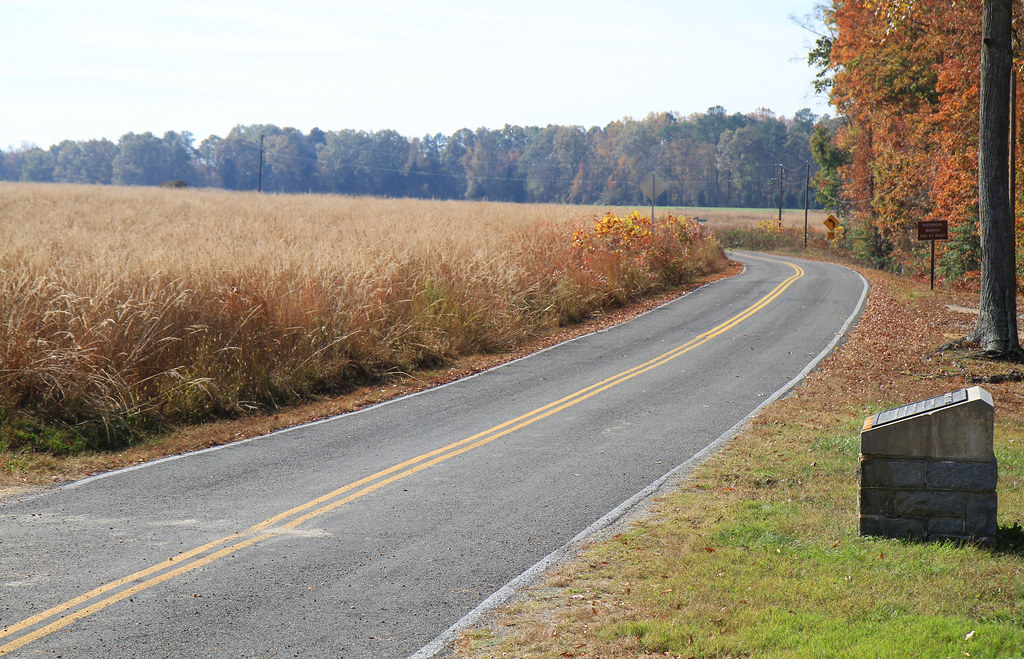
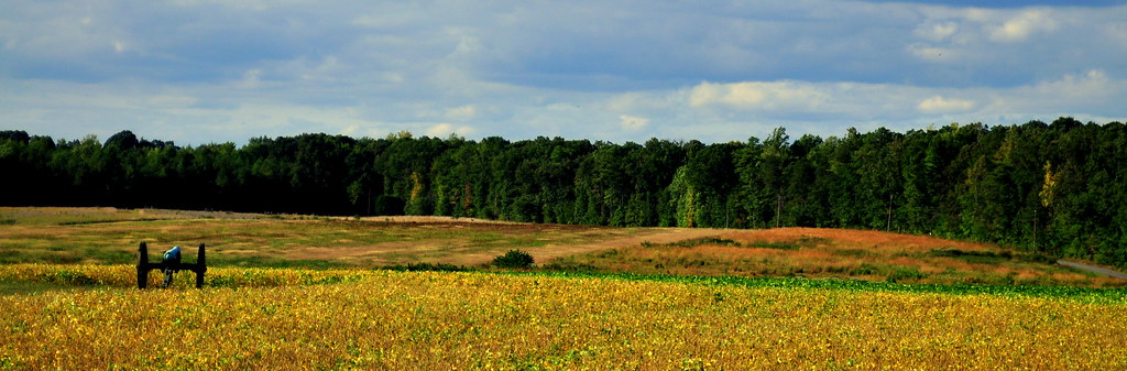
Glowing Fields of Grain

APPOKANT CAMPS

the view changes from where you are standing
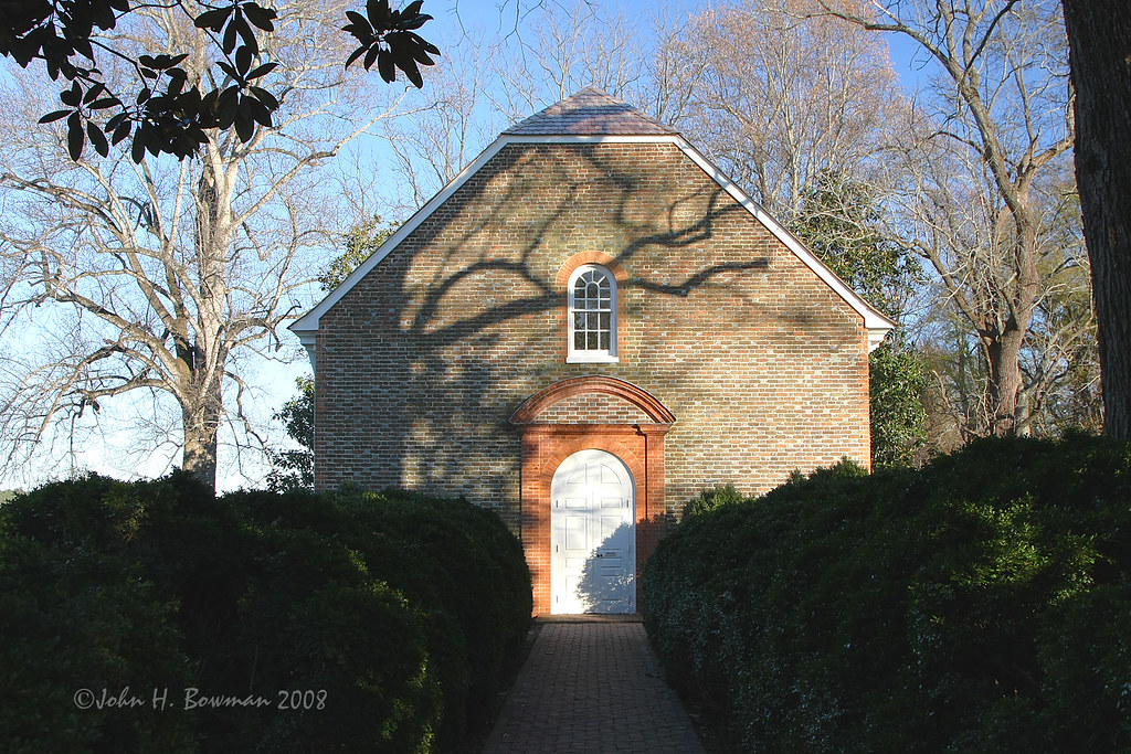
Westover Church - church of 3 presidents
Colonial Kitchen
Providence Forge 051
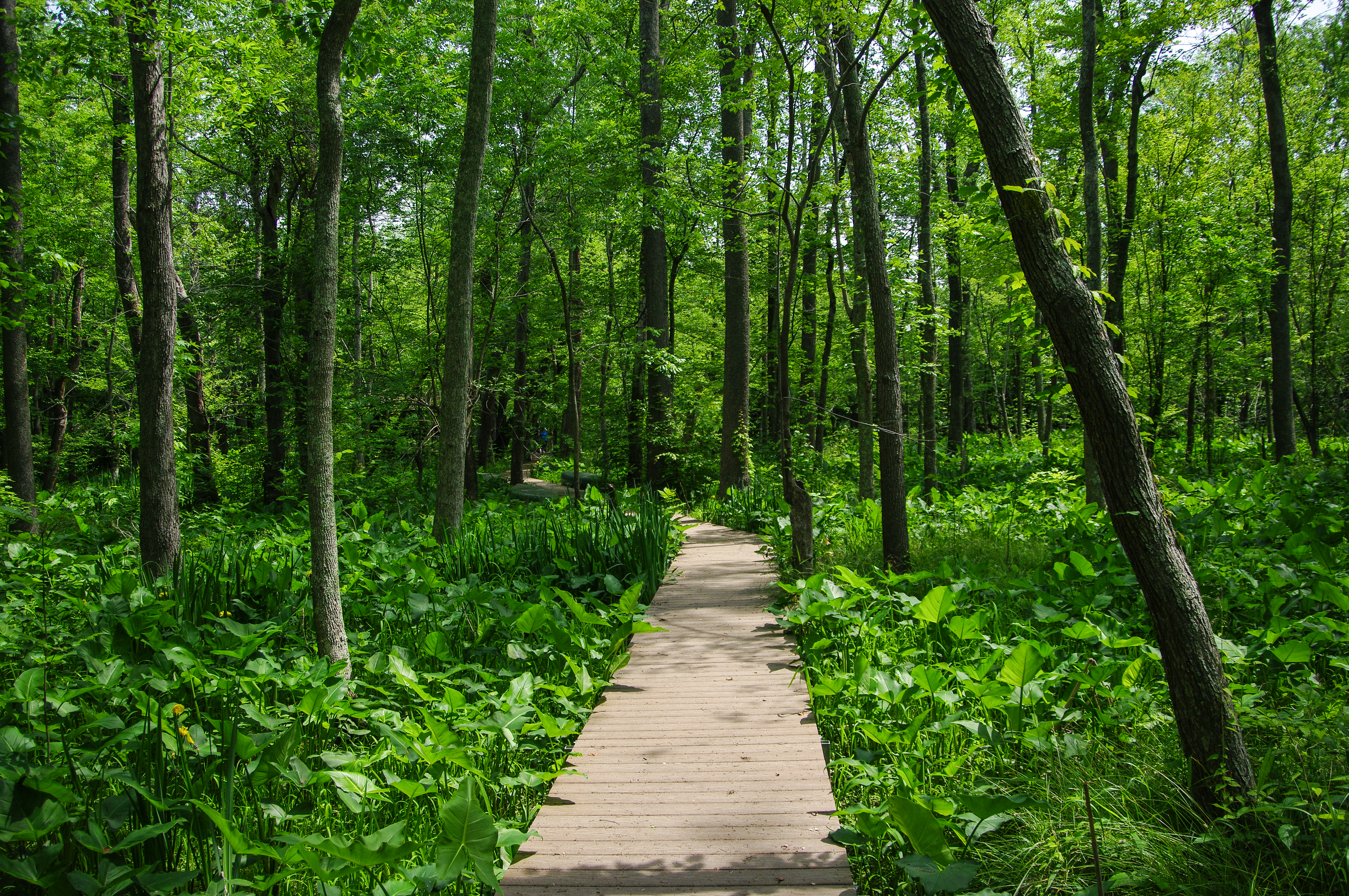
Providence Forge

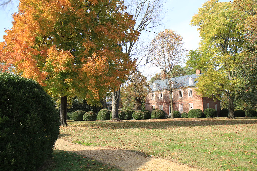
Sherwood Forest
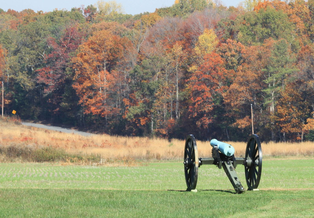
Autumn Cannon
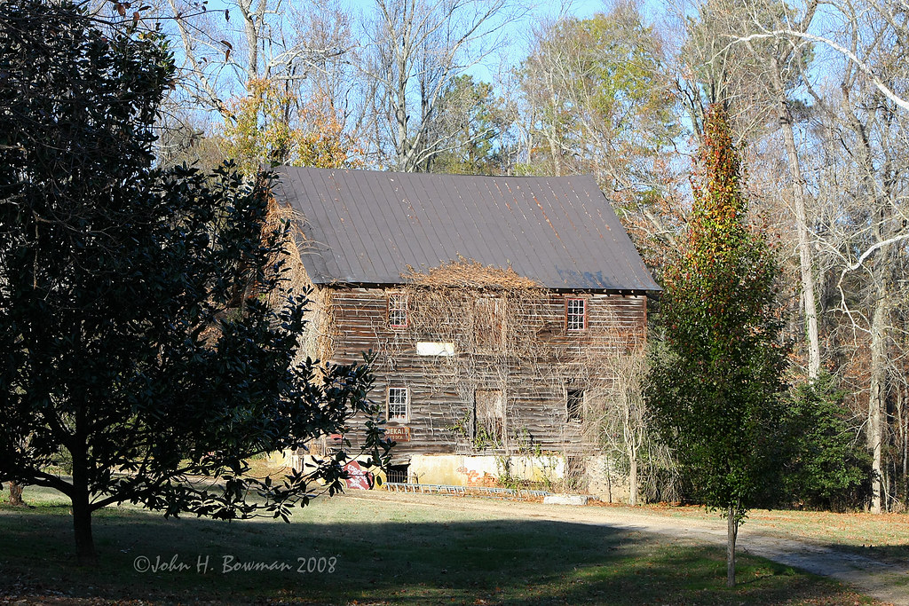
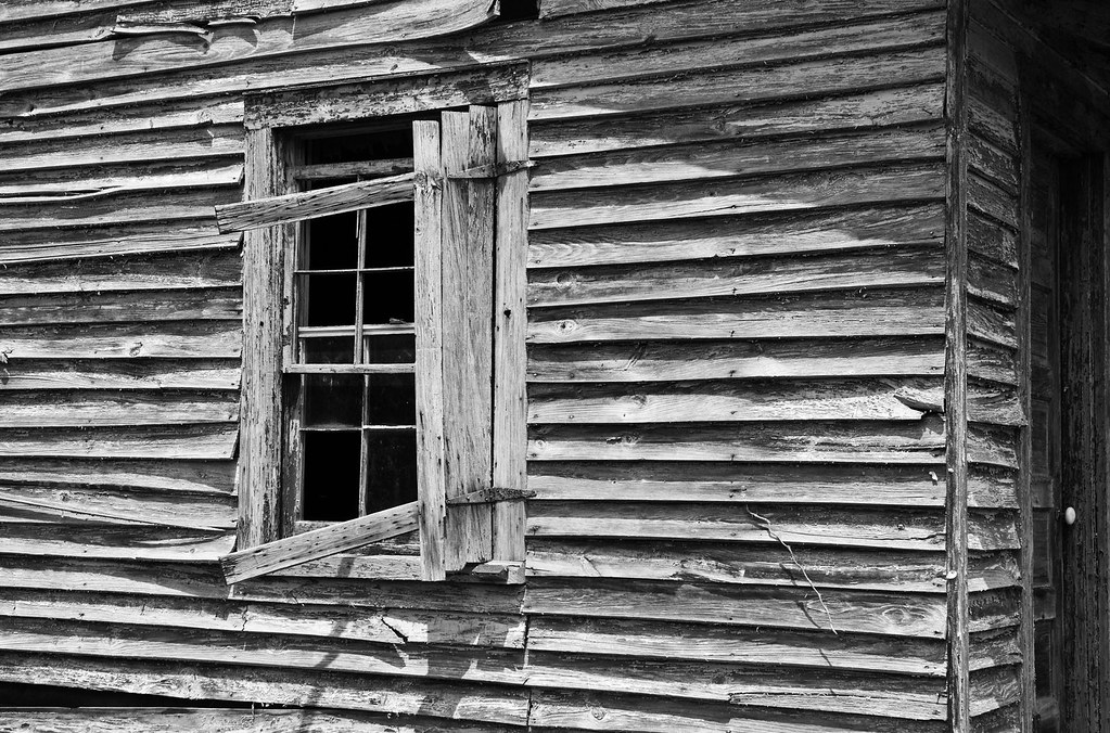
Harrison's Mill - 18th century

Union Cannon

Battle of Malvern Hill

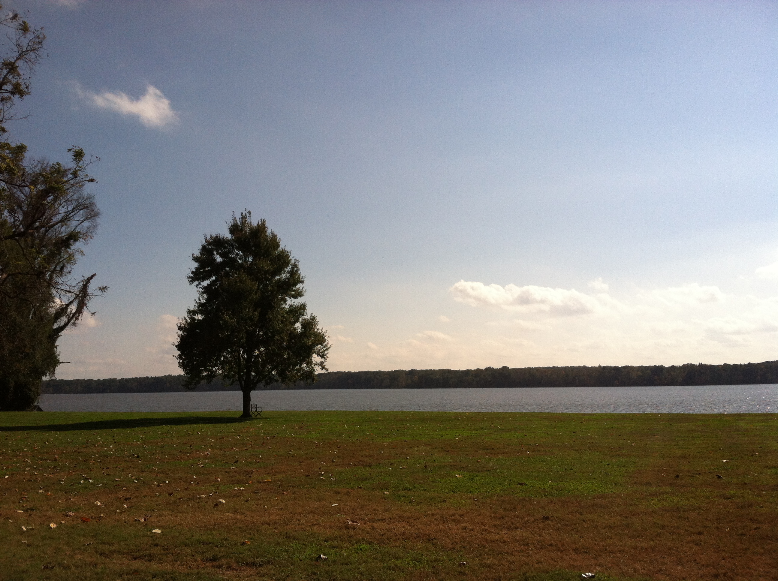
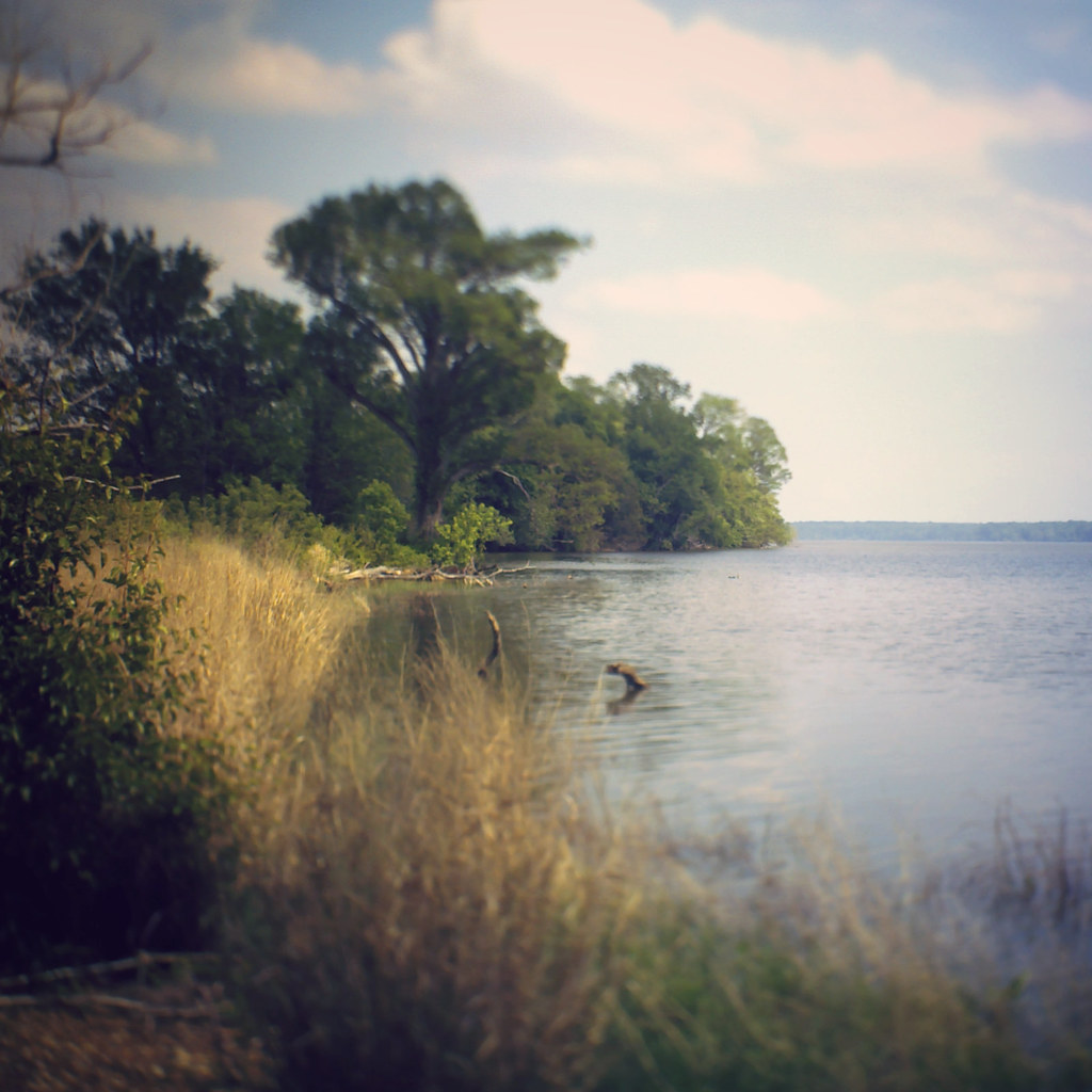
View of the James River

Malvern Hill Battlefield -- Union guns looking toward Confederate attacks
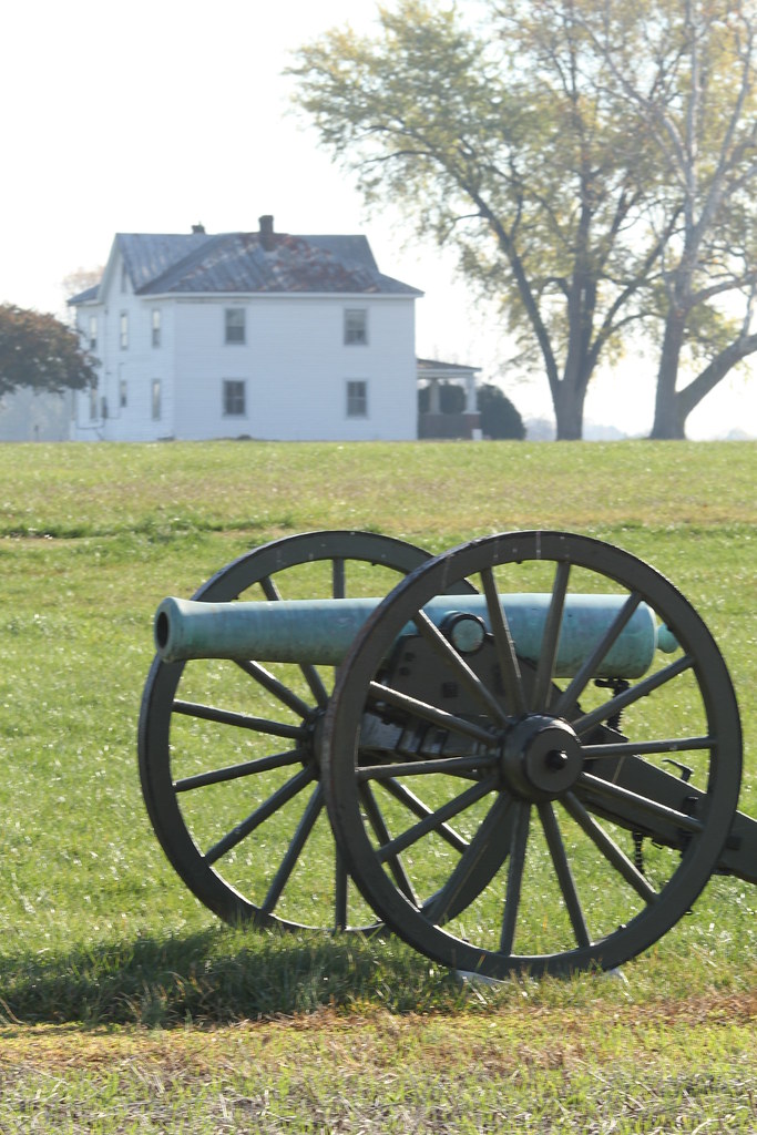
Cannon and the West House
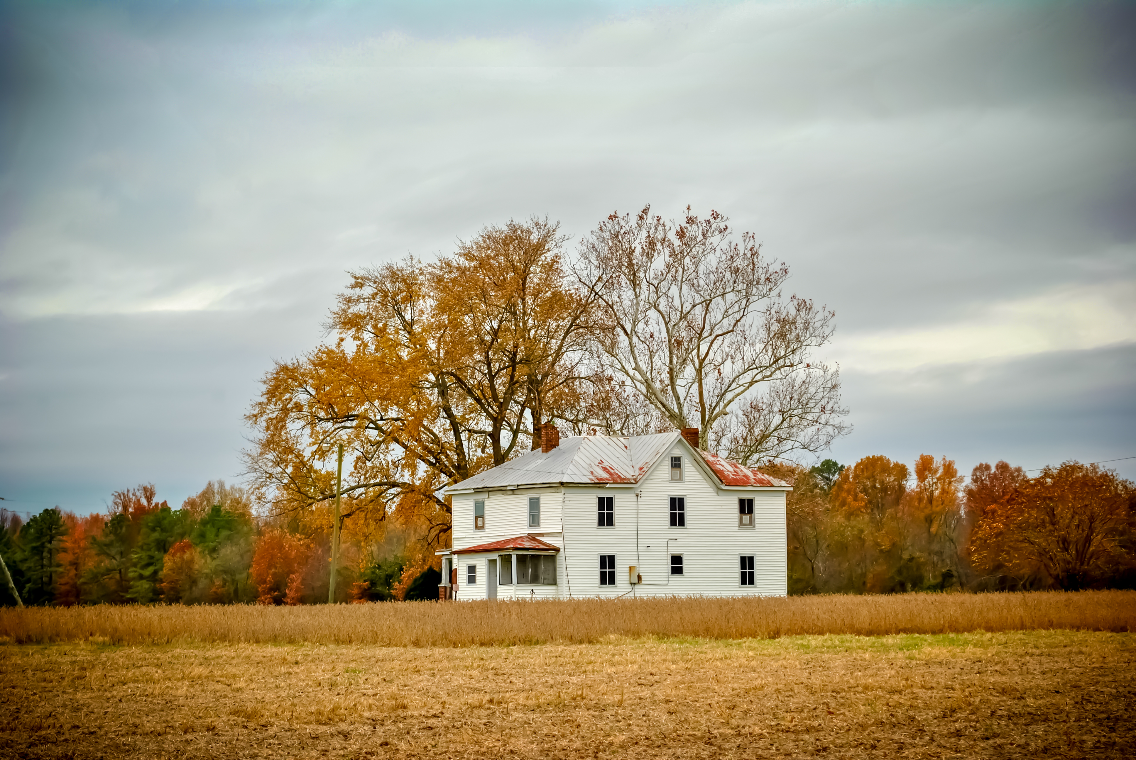
Berkeley in Autumn - Harrison's Landing
The West House
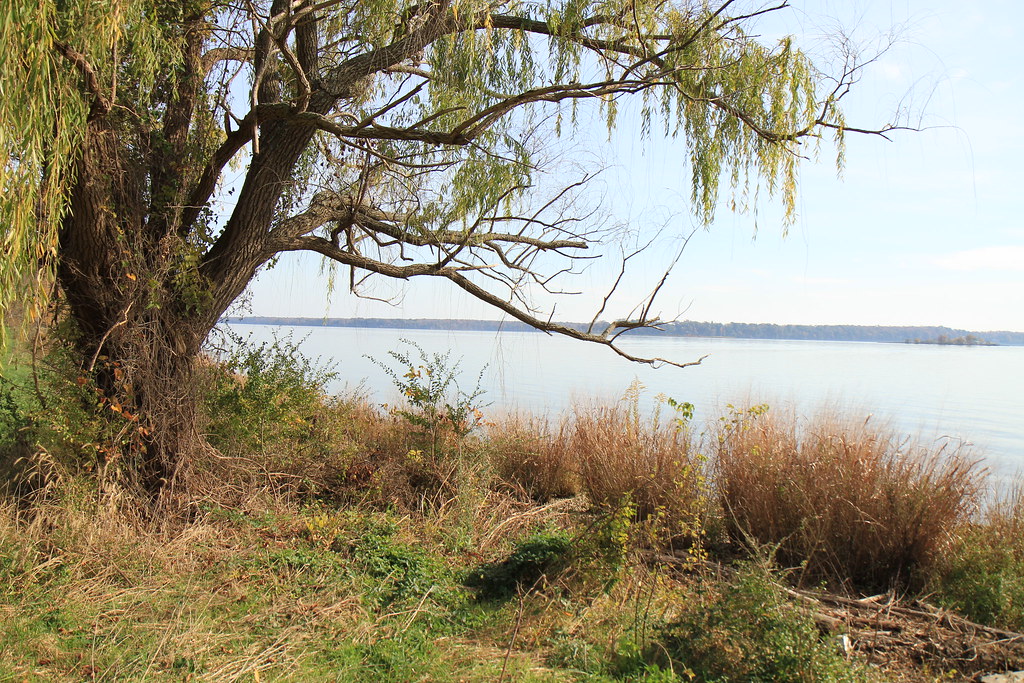
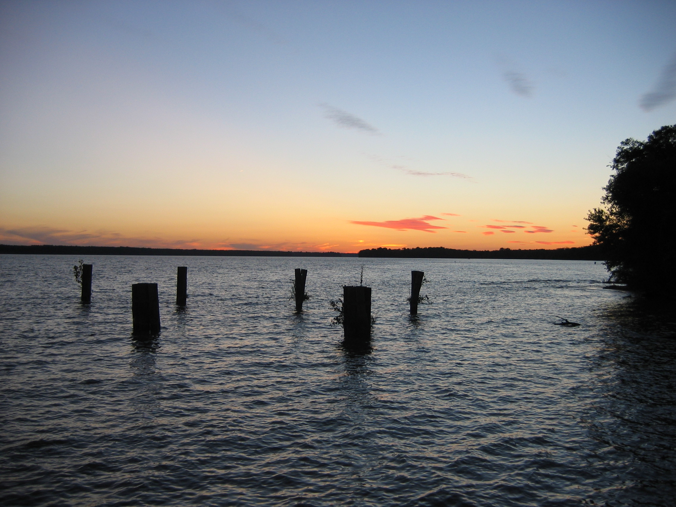
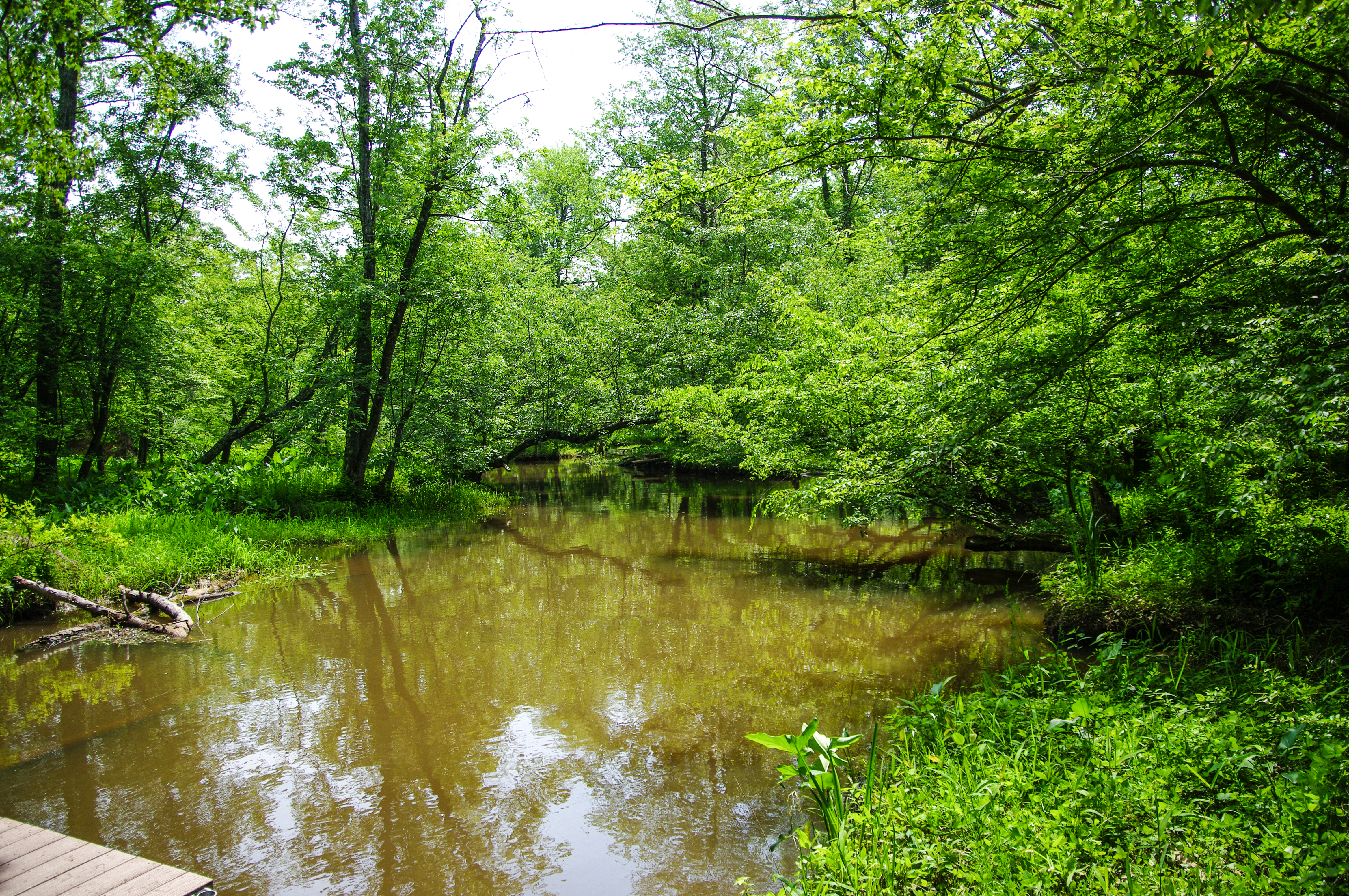
James River - Harrison's Landing
Harrison's Landing along the James River
The Willis Church Road

The Willis Church Road
Uhhh, Skipper?
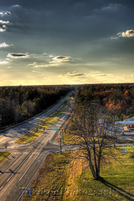
High Above it All

Malvern Hill Battlefield -- Historic Marker looking toward the Union guns
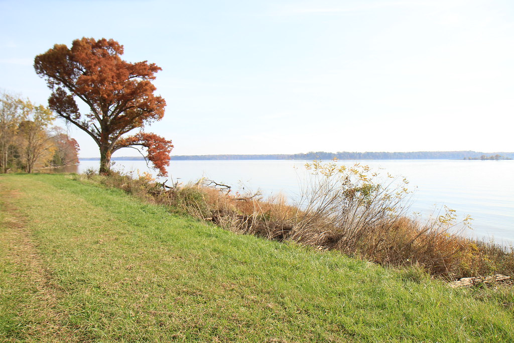
view of James River from Westover Plantation, Charles City County, VA

view of James River from Westover Plantation, Charles City County, VA

Consolation Prize

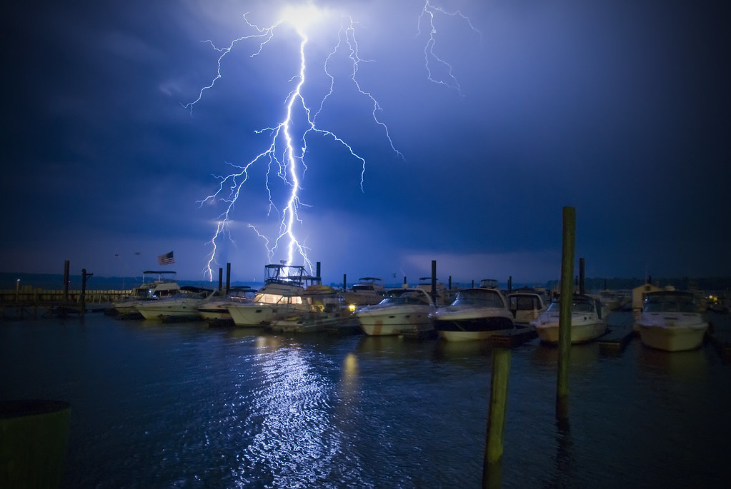
BALI-HAI'
when I go away

Dawn in New Kent County, VA
Malvern Hill
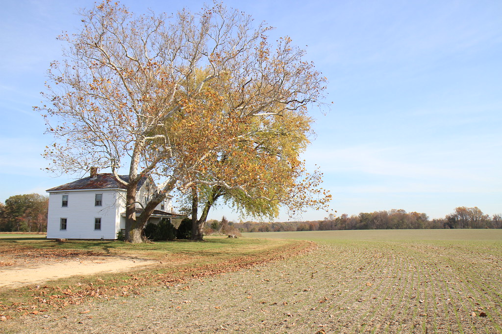
Virginia: Near Harrison's Landing: Wilcox Landing

Fields of Gold
Malvern Hill - Union Cannon
presquile-65.jpg
presquile-66.jpg
A Little Bit of Blue Sky
Today's adventure took me over 45 miles along the Virginia Capital Trail. It was so gorgeous out there I just couldn't stop! It's amazing knowing what the human body is capable of and knowing I got there all on my own. Who needs a car anyways?! #neverstop
presquile-67.jpg

Honeywell Chemical Plant
Topographic Map of Charles City County, VA, USA
Find elevation by address:

Places in Charles City County, VA, USA:
Places near Charles City County, VA, USA:
2, VA, USA
7960 Chambers Rd
10321 Alpine Rd
5301 John Tyler Memorial Hwy
Westover Rd, Charles City, VA, USA
7851 Courthouse Rd
Charles City
12731 Sterling Heights Ln
Sturgeon Point Rd, Providence Forge, VA, USA
12041 The Glebe Ln
The Glebe Ln, Charles City, VA, USA
Shirley Plantation
Cherokee Ln, Hopewell, VA, USA
Hopewell, VA, USA
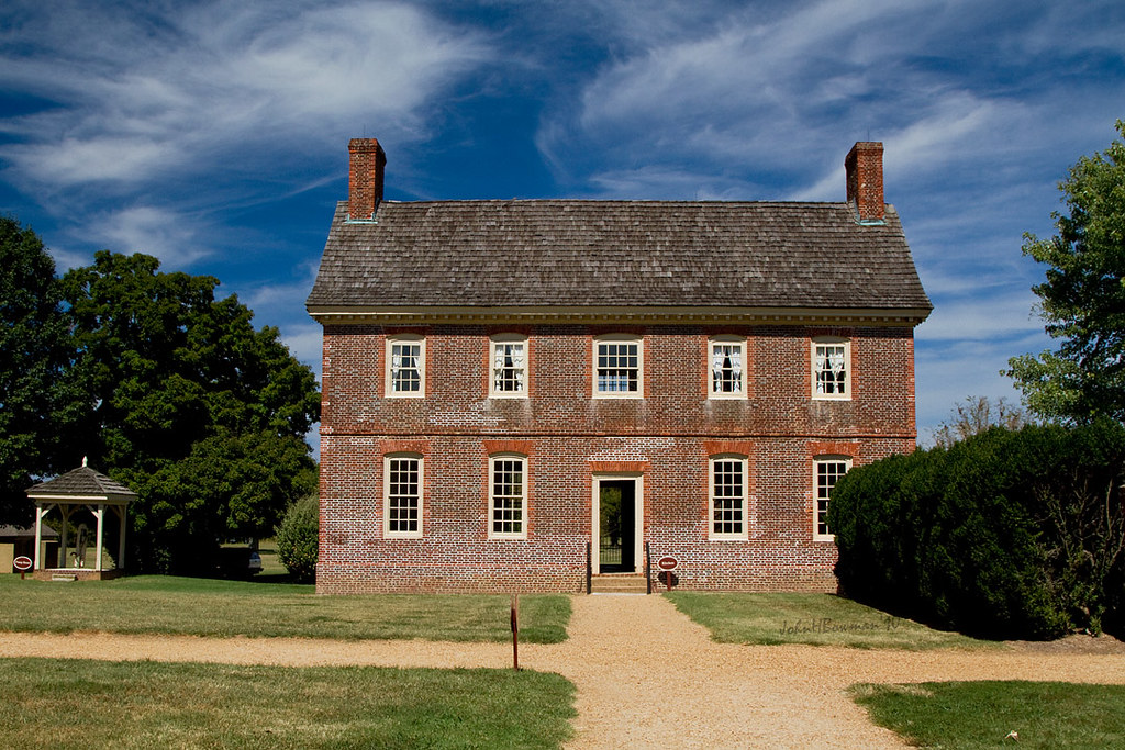
Sherwood Forest
Petersburg National Battlefield-city Point Unit
Tylers Mill Rd, Charles City, VA, USA
304 Riverview Ave
Richmond, VA, USA
905 E Randolph Rd
Recent Searches:
- Elevation of Corso Fratelli Cairoli, 35, Macerata MC, Italy
- Elevation of Tallevast Rd, Sarasota, FL, USA
- Elevation of 4th St E, Sonoma, CA, USA
- Elevation of Black Hollow Rd, Pennsdale, PA, USA
- Elevation of Oakland Ave, Williamsport, PA, USA
- Elevation of Pedrógão Grande, Portugal
- Elevation of Klee Dr, Martinsburg, WV, USA
- Elevation of Via Roma, Pieranica CR, Italy
- Elevation of Tavkvetili Mountain, Georgia
- Elevation of Hartfords Bluff Cir, Mt Pleasant, SC, USA