Elevation of E Randolph Rd, Hopewell, VA, USA
Location: United States > Virginia > Hopewell >
Longitude: -77.277555
Latitude: 37.2978175
Elevation: 13m / 43feet
Barometric Pressure: 101KPa
Elevation Map:
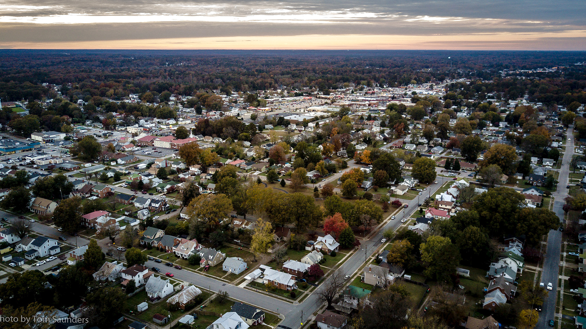
Satellite Map:
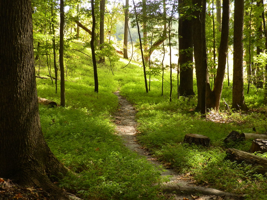
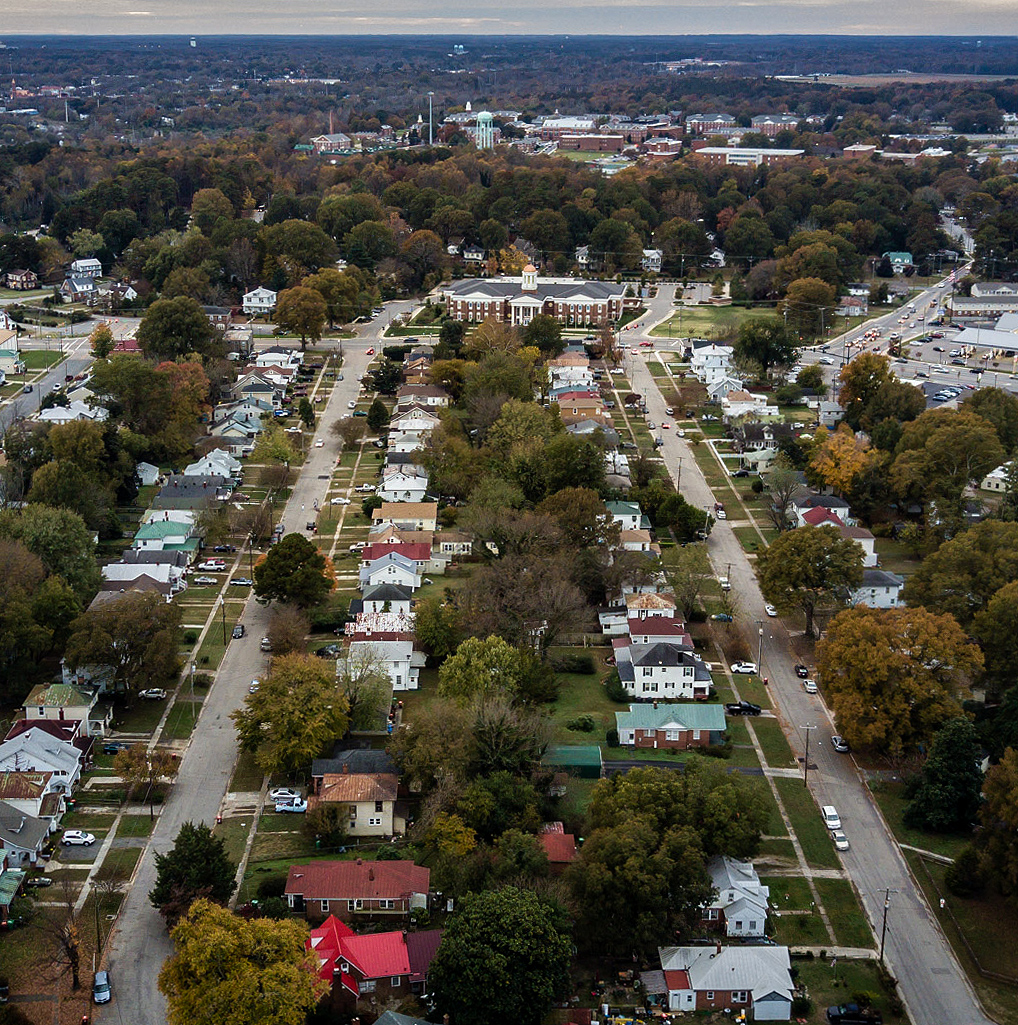
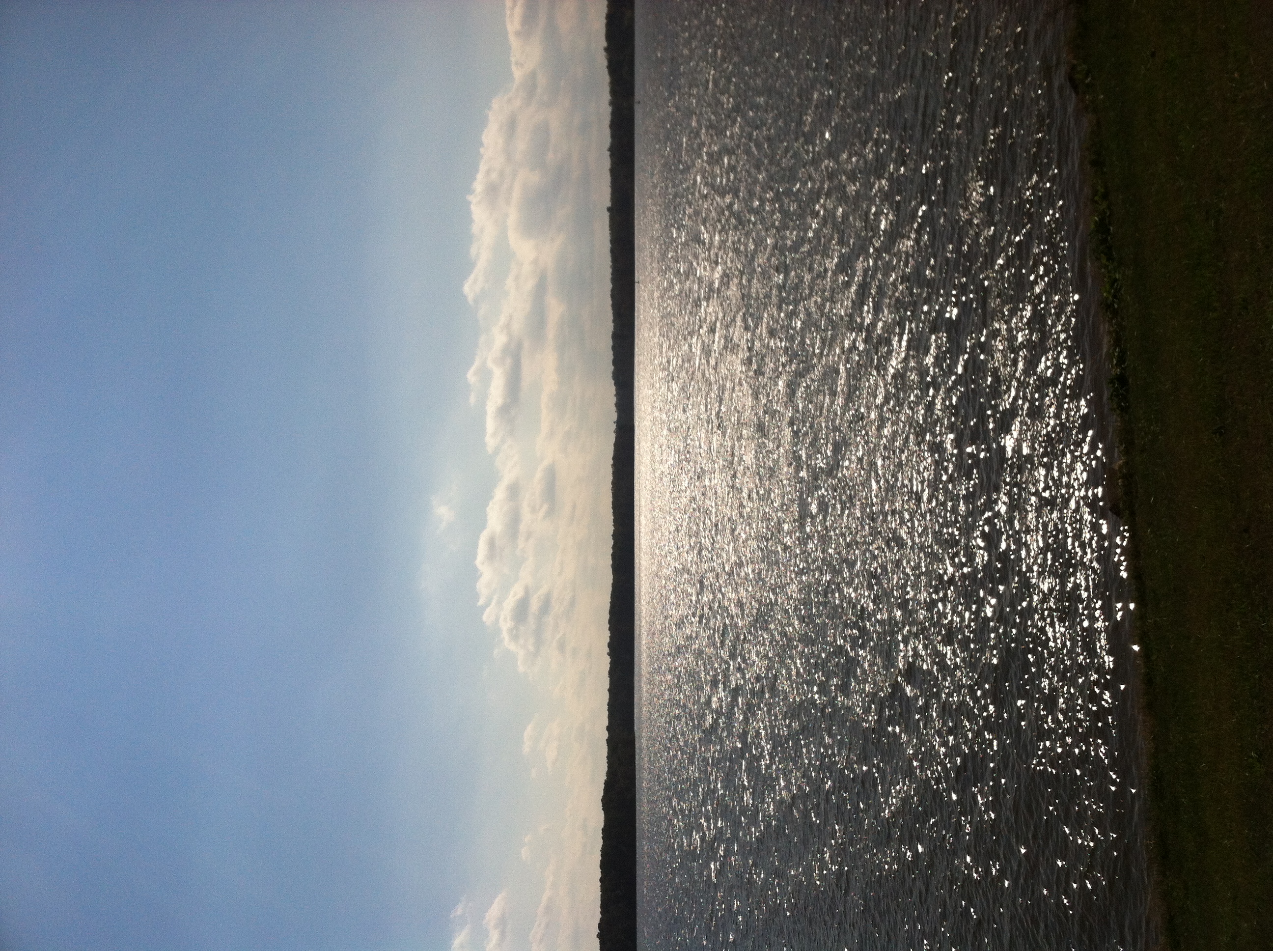
Related Photos:

♫I love to sing-a about the moon-a and the June-a and the spring-a♫
Break out the harmonica.
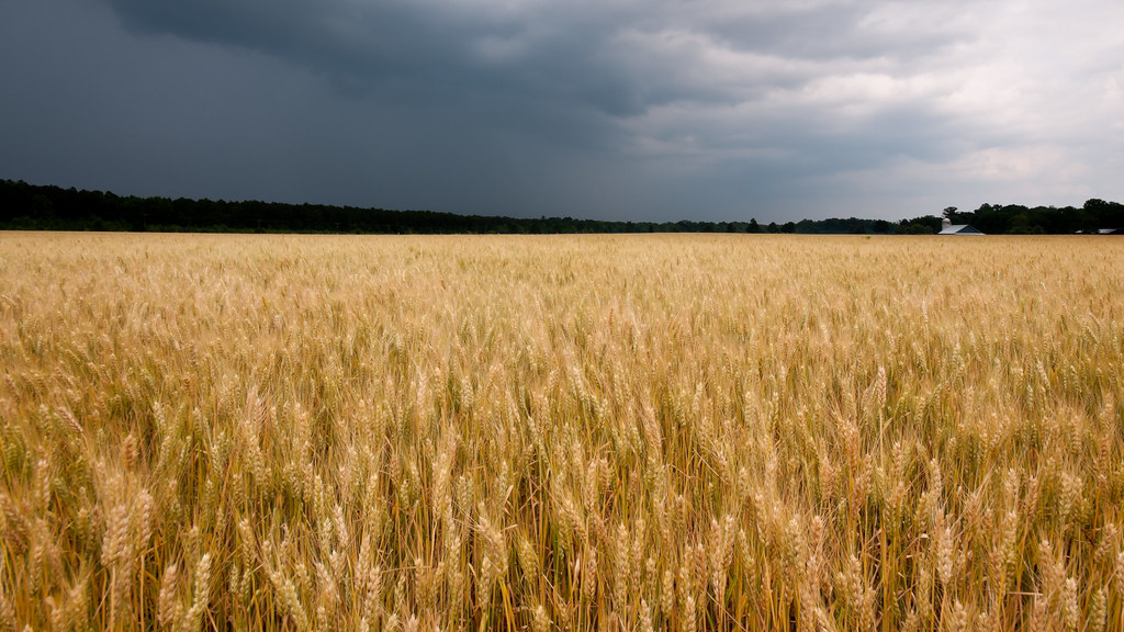
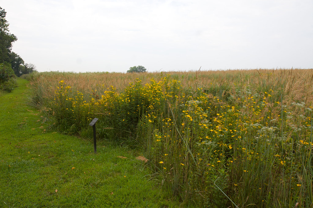
Glowing Fields of Grain
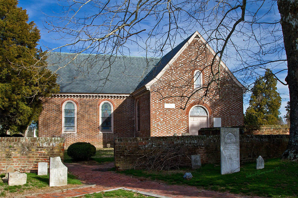
Blandford Church, 1735

THE COOL LINES OF MARBLE, THE VIEW FROM CORPORAL FOLLAND'S GRAVE
Westover Church - church of 3 presidents

BALI-HAI'
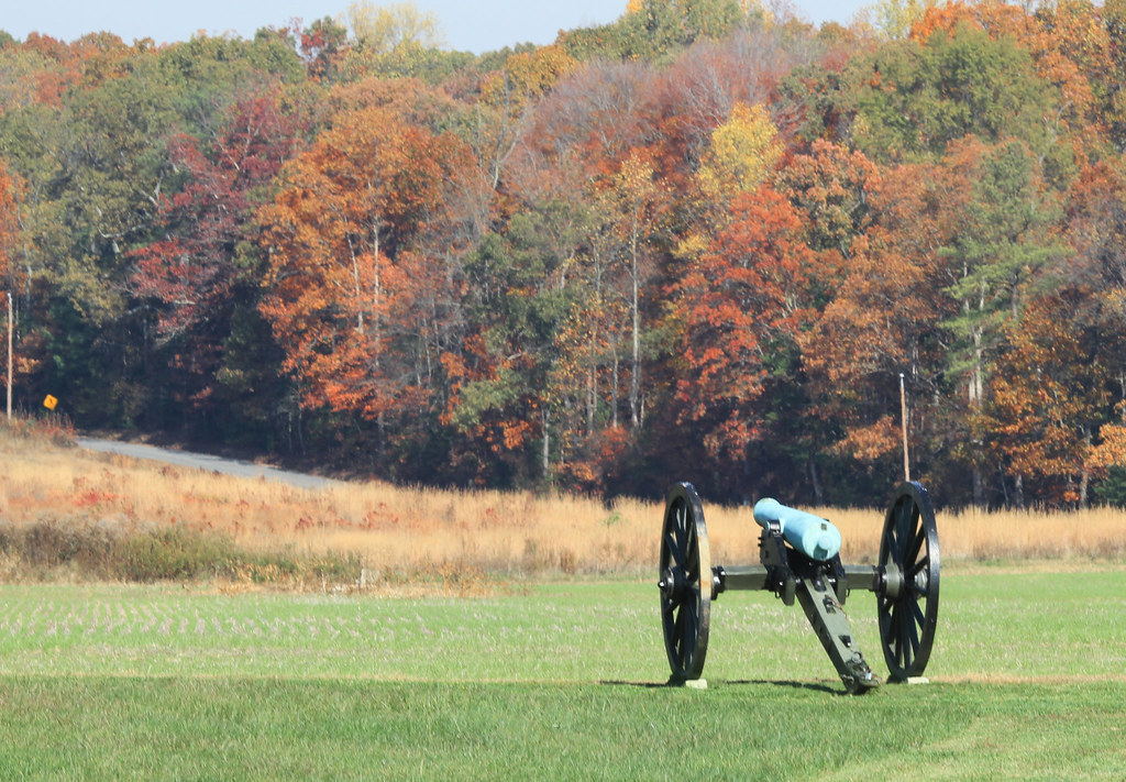
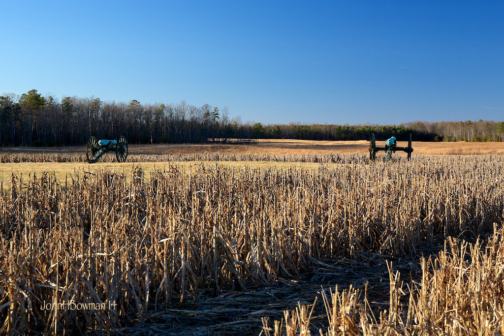
Autumn Cannon
View of the Union Right
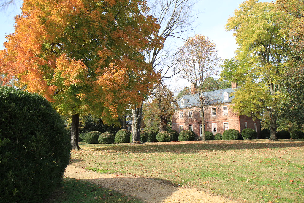
Berkeley in Autumn - Harrison's Landing
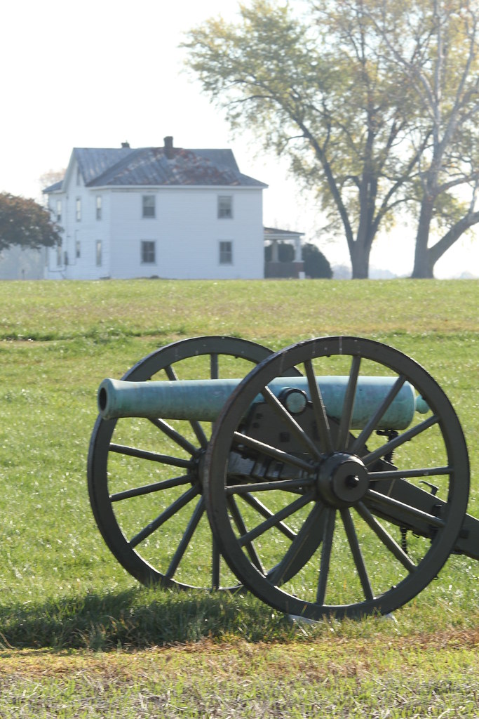
Cannon and the West House

Crew House Cannon
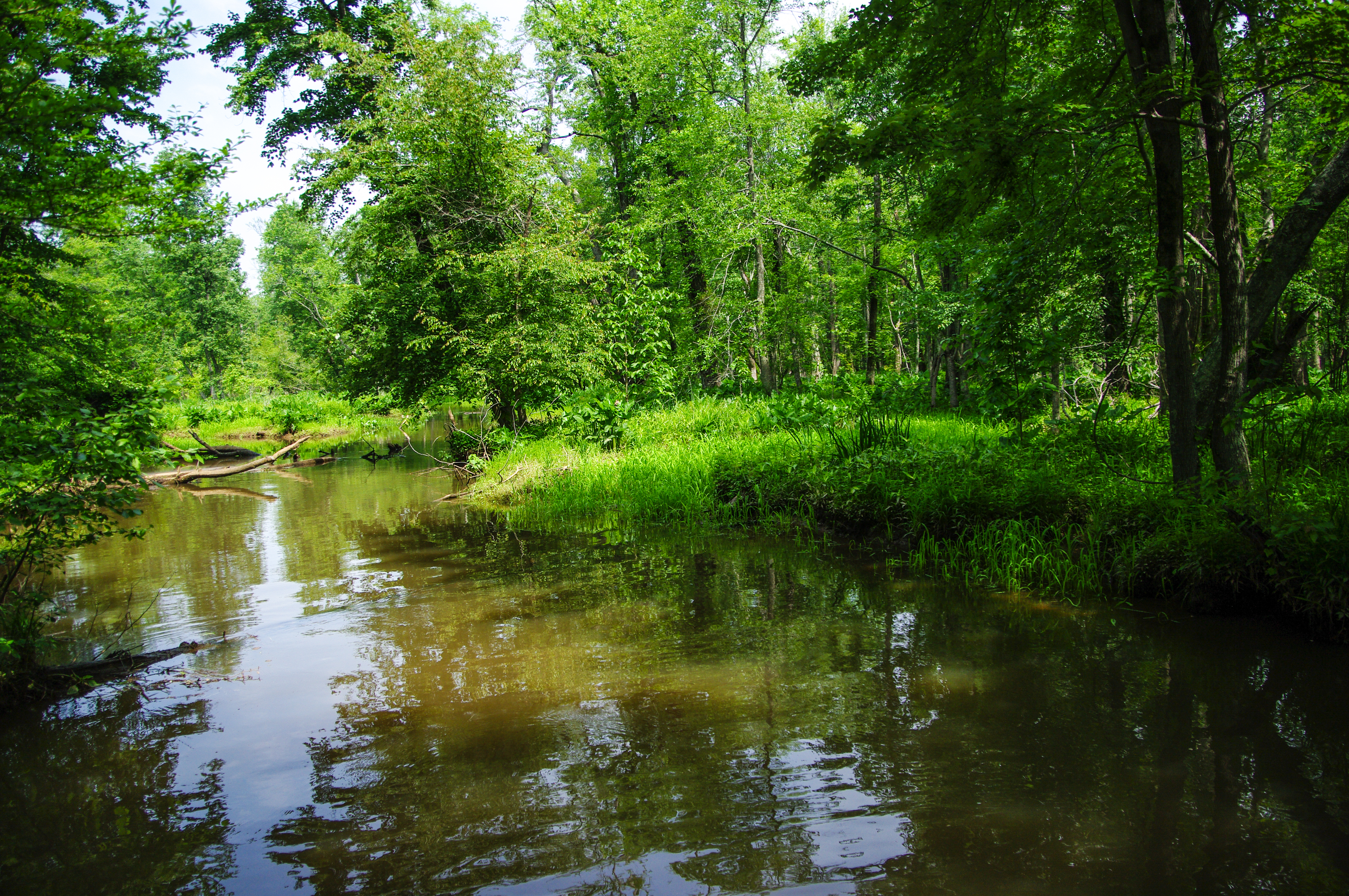
On the River Bank
The Willis Church Road

Fort Stedman

Malvern Hill Battlefield -- Historic Marker looking toward the Union guns

Consolation Prize

Great view of the clouds this morning. #weather #ccvawx #rvawx
Malvern Hill
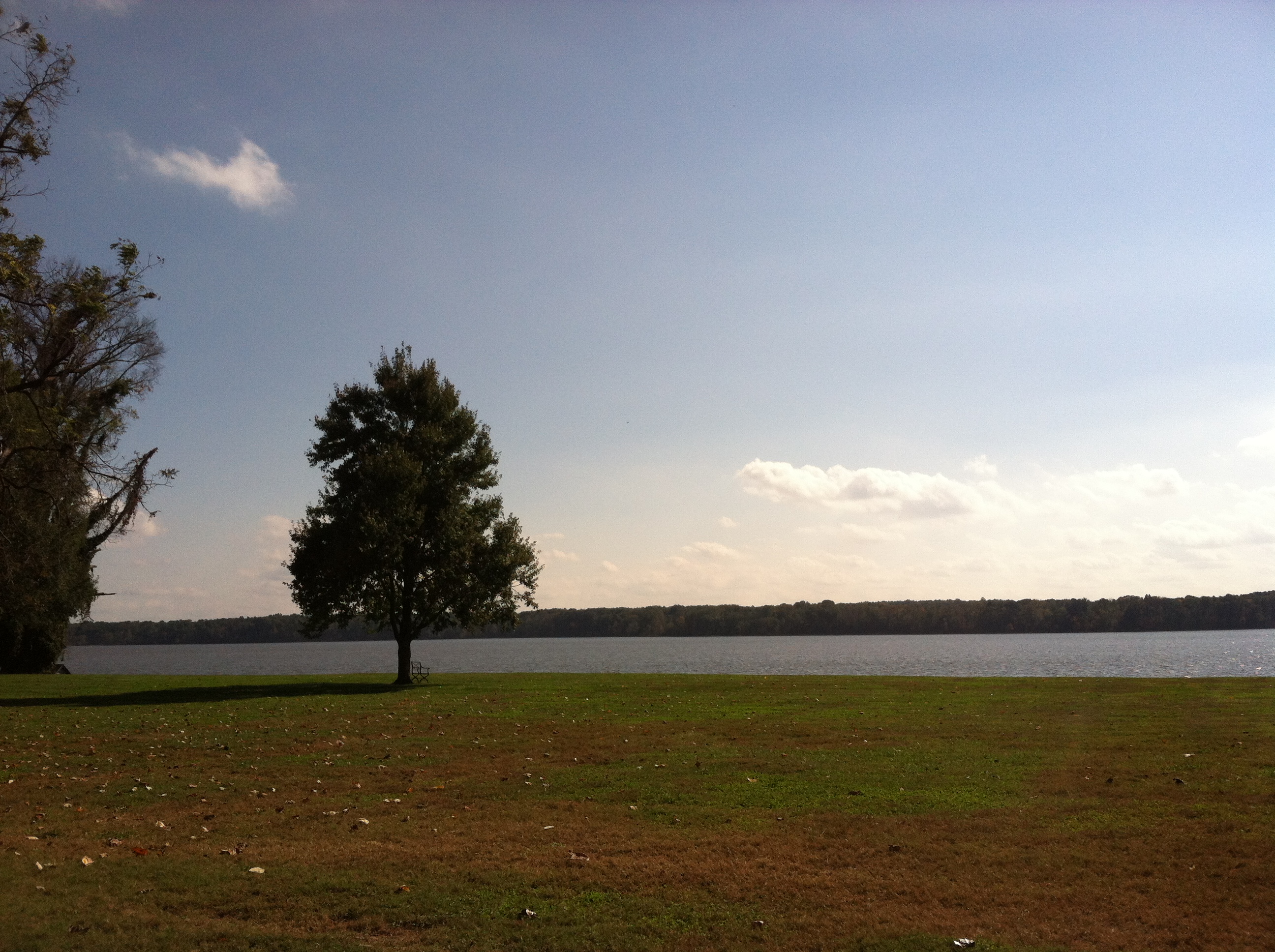
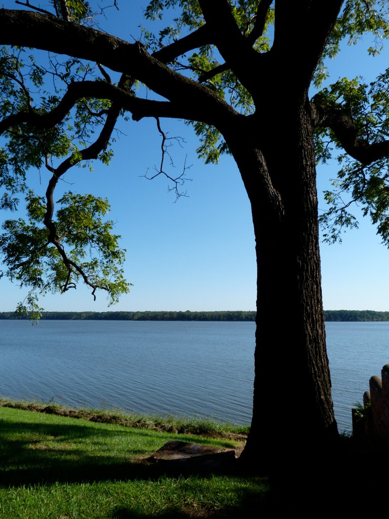
view of James River from Westover Plantation, Charles City County, VA
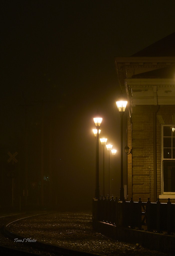
The train doesn't stop here anymore.
when I go away
presquile-65.jpg

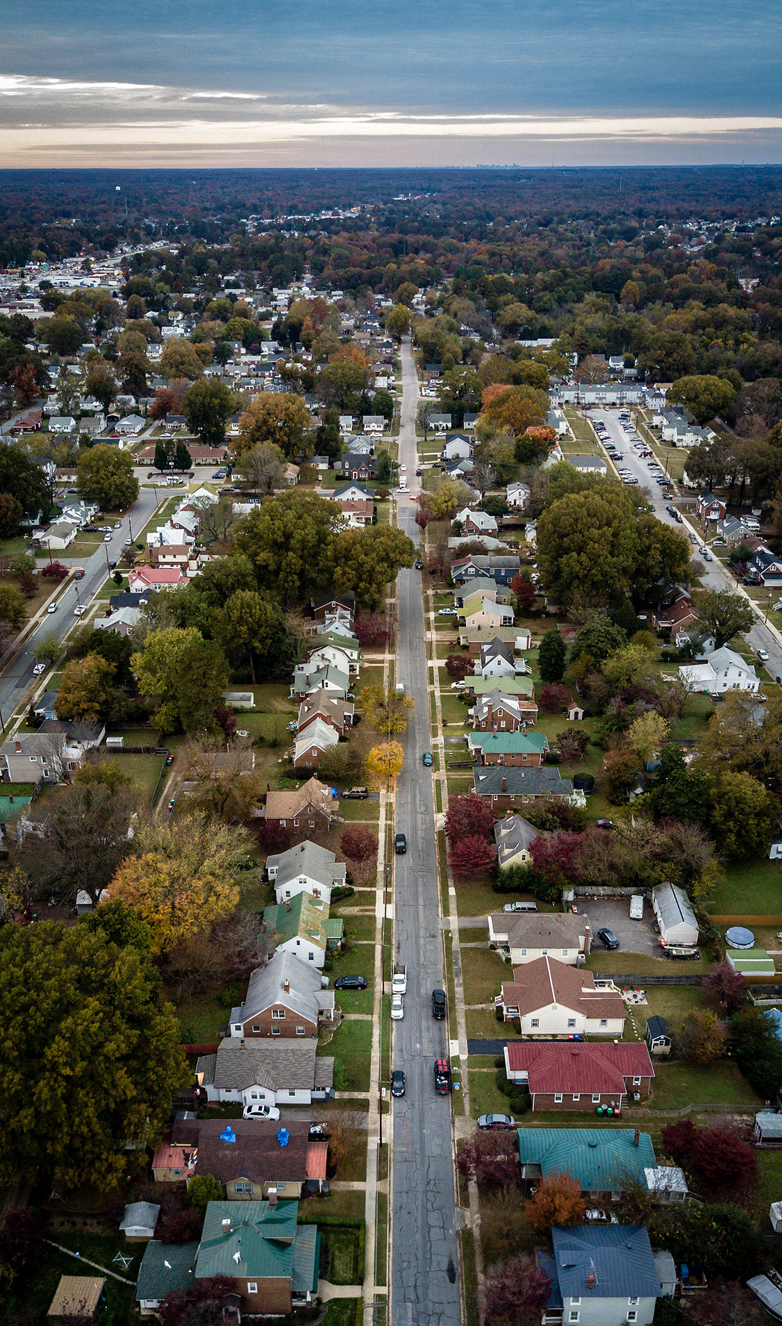
my street
Union Cannon, Malvern Hill Battlefield
Petersburg NB, VA

SHIRLEY PLANTATION POND AMBER
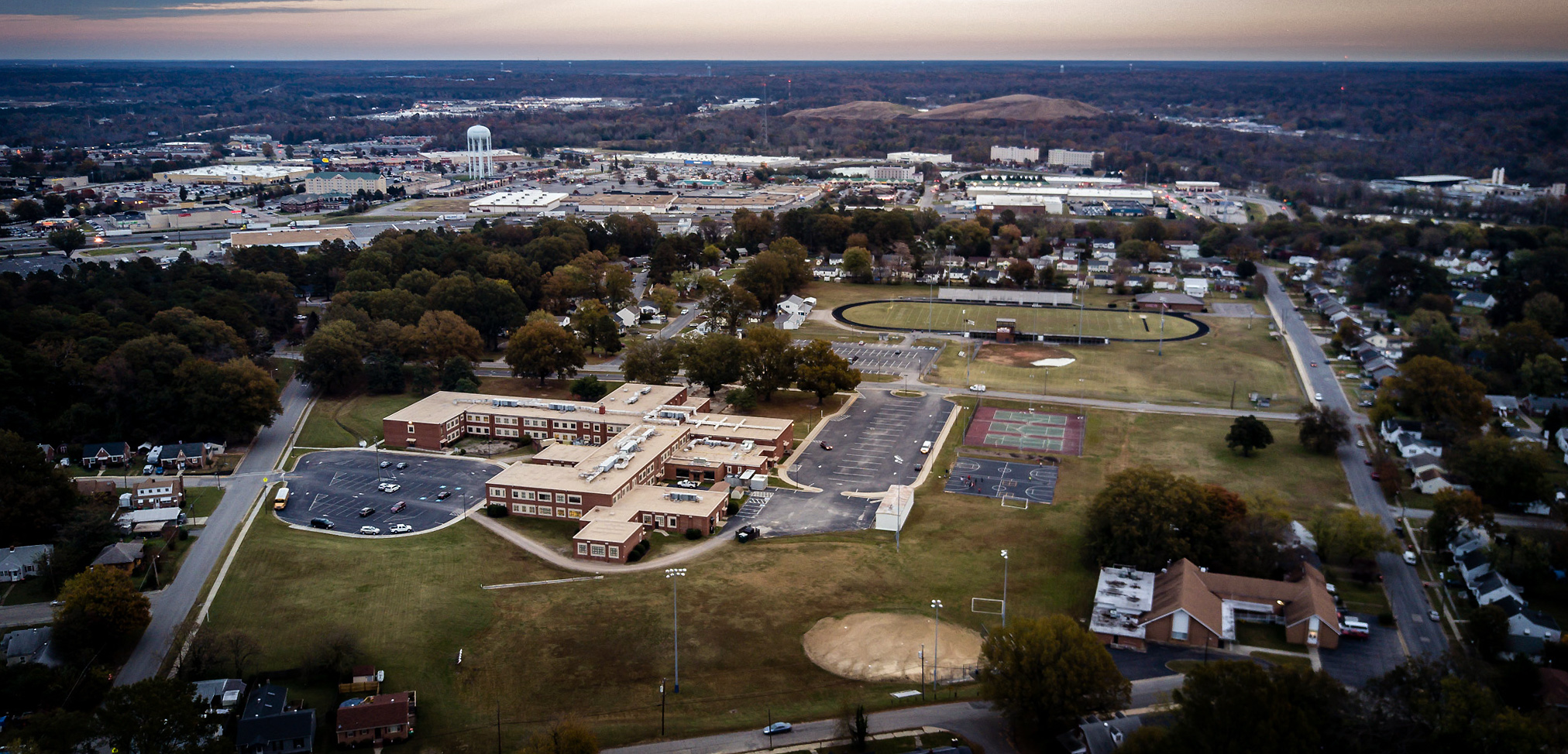
DJI_0016school copy
DJI_0021 copy

DJI_0024 copy
view of James River from Westover Plantation, Charles City County, VA
DJI_0030 copy
Petersburg NB, VA

DJI_0016blur copy
DJI_0030blurr copy
Four Mile Creek fog

Union Line
presquile-69.jpg
presquile-64.jpg
DJI_0023 copy
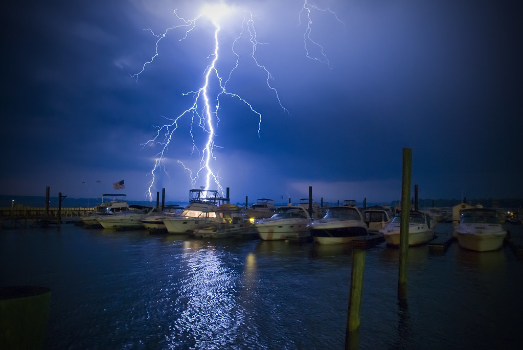
Uhhh, Skipper?
Topographic Map of E Randolph Rd, Hopewell, VA, USA
Find elevation by address:

Places near E Randolph Rd, Hopewell, VA, USA:
Hopewell
304 Riverview Ave
411 W Randolph Rd
Petersburg National Battlefield-city Point Unit
Clay Street
3405 Ivor St
Shirley Plantation
Cherokee Ln, Hopewell, VA, USA
1708 White Mountain Dr
Hopewell, VA, USA
N Enon Church Rd, Chester, VA, USA
Westover Rd, Charles City, VA, USA
5301 John Tyler Memorial Hwy
Richmond, VA, USA
Charles City County
2, VA, USA
7960 Chambers Rd
Charles City
12041 The Glebe Ln
7851 Courthouse Rd
Recent Searches:
- Elevation of Elwyn Dr, Roanoke Rapids, NC, USA
- Elevation of Congressional Dr, Stevensville, MD, USA
- Elevation of Bellview Rd, McLean, VA, USA
- Elevation of Stage Island Rd, Chatham, MA, USA
- Elevation of Shibuya Scramble Crossing, 21 Udagawacho, Shibuya City, Tokyo -, Japan
- Elevation of Jadagoniai, Kaunas District Municipality, Lithuania
- Elevation of Pagonija rock, Kranto 7-oji g. 8"N, Kaunas, Lithuania
- Elevation of Co Rd 87, Jamestown, CO, USA
- Elevation of Tenjo, Cundinamarca, Colombia
- Elevation of Côte-des-Neiges, Montreal, QC H4A 3J6, Canada