Elevation of Wheaton Rd, Westmoreland, KS, USA
Location: United States > Kansas > Pottawatomie County > Union >
Longitude: -96.310204
Latitude: 39.3461631
Elevation: 369m / 1211feet
Barometric Pressure: 97KPa
Elevation Map:
Satellite Map:
Related Photos:
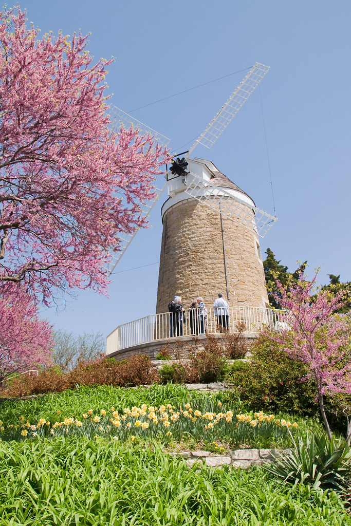
The Old Dutch Mill at Wamego

View from inside Toto's Tacoz
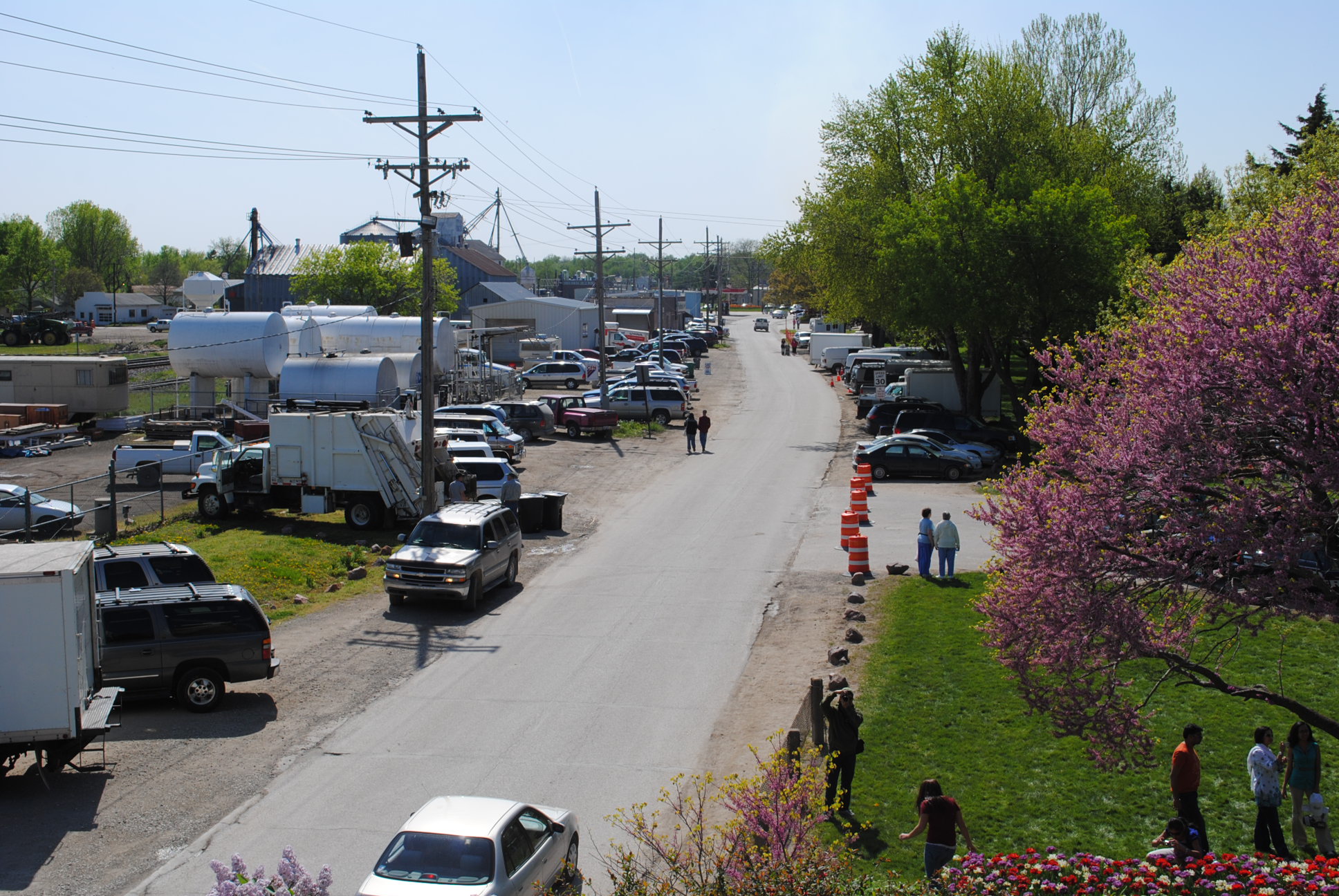
2010_0420 2410.. View from the mill

dutch mill 1

Tulip Festival 473

Washed out road

dutch mill 2

2010_0420 2389.. Wet basin
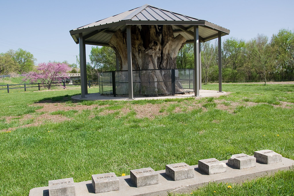
Louis Vieux Elm and Soldiers Memorial

Washed out road
Topographic Map of Wheaton Rd, Westmoreland, KS, USA
Find elevation by address:

Places near Wheaton Rd, Westmoreland, KS, USA:
17455 Pauling Run Rd
Louisville
Onaga Rd, Wamego, KS, USA
113 Hickory St
Center
Louisville
Mt Calvary Lutheran Church
1305 18th St
2005 Henry Dr
2200 Country Club Dr
KS-99, Wamego, KS, USA
Wamego
Wamego
Belvue
23705 Oregon Trail Rd
Belvue
Broadway St, Belvue, KS, USA
Aiken Switch Rd, Emmett, KS, USA
Westar - Jeffrey Energy Center
St. Clere
Recent Searches:
- Elevation of Congressional Dr, Stevensville, MD, USA
- Elevation of Bellview Rd, McLean, VA, USA
- Elevation of Stage Island Rd, Chatham, MA, USA
- Elevation of Shibuya Scramble Crossing, 21 Udagawacho, Shibuya City, Tokyo -, Japan
- Elevation of Jadagoniai, Kaunas District Municipality, Lithuania
- Elevation of Pagonija rock, Kranto 7-oji g. 8"N, Kaunas, Lithuania
- Elevation of Co Rd 87, Jamestown, CO, USA
- Elevation of Tenjo, Cundinamarca, Colombia
- Elevation of Côte-des-Neiges, Montreal, QC H4A 3J6, Canada
- Elevation of Bobcat Dr, Helena, MT, USA