Elevation of Westar - Jeffrey Energy Center, Jeffrey Rd, St Marys, KS, USA
Location: United States > Kansas > Pottawatomie County > Emmett > Emmett >
Longitude: -96.117074
Latitude: 39.2853244
Elevation: 396m / 1299feet
Barometric Pressure: 97KPa
Elevation Map:
Satellite Map:
Related Photos:
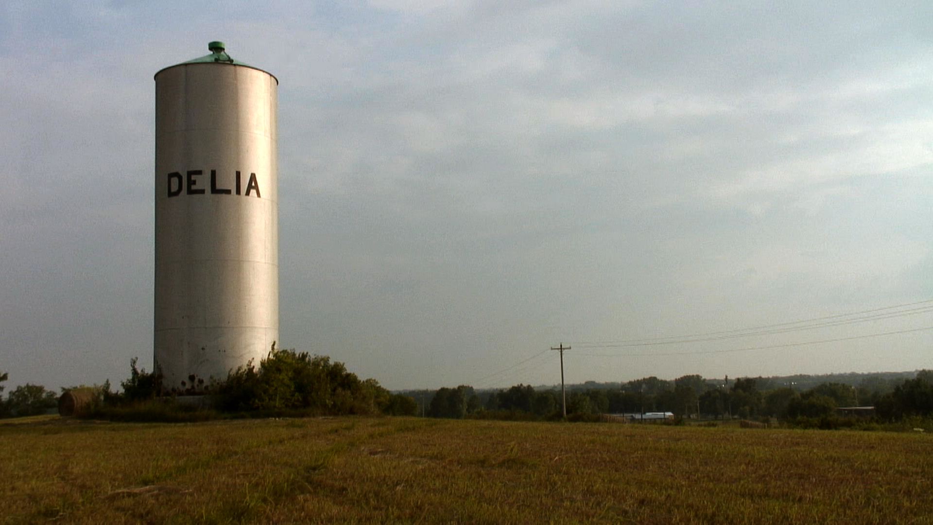
A view of Delia, Kansas
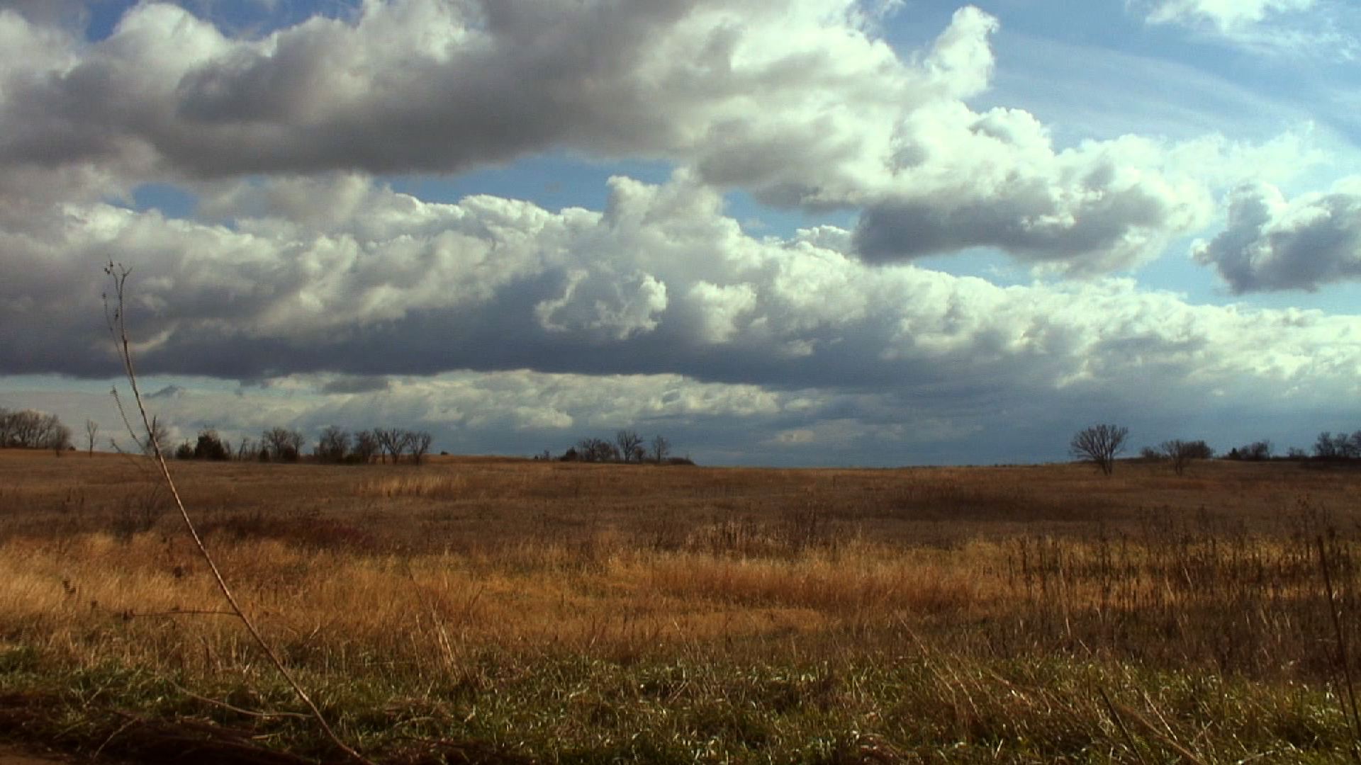
A field outside of Delia, Kansas

Oregon Trail Nature Park.

Silent Guard
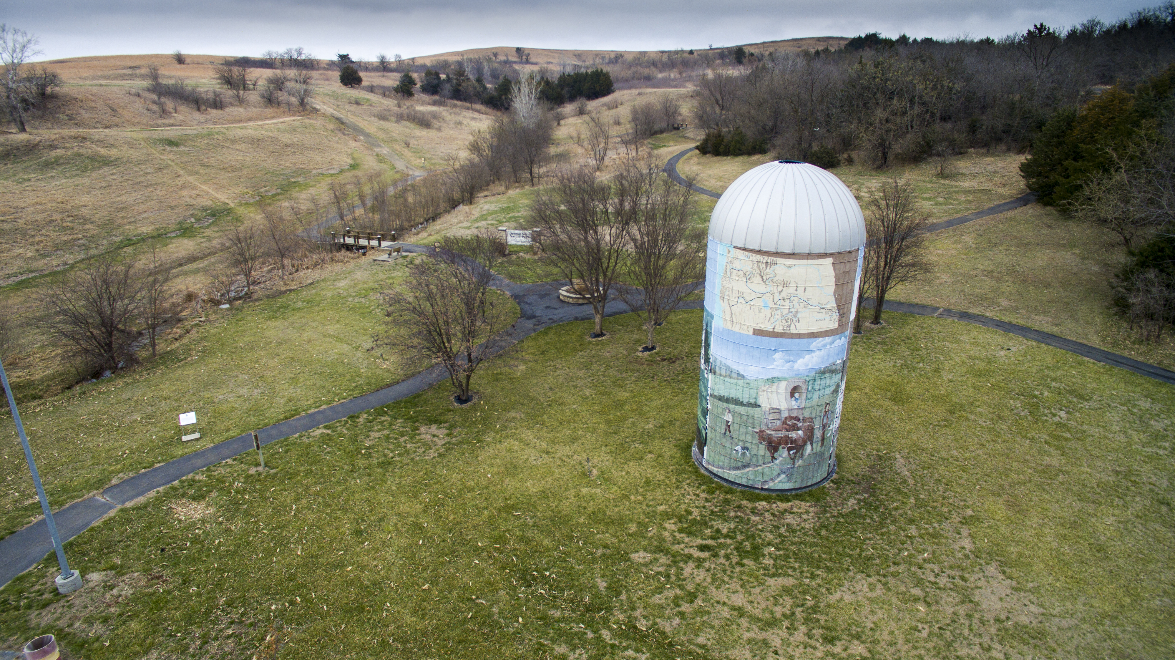
Oregon Trail Nature Park.

Oregon Trail Nature Park.
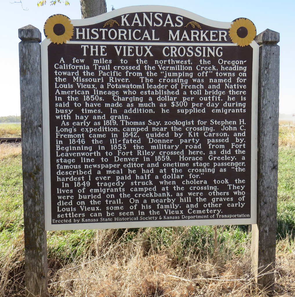
The Vieux Crossing Marker (Pottawatomie County, Kansas)

Louis Vieux Marker (Pottawatomie County, Kansas)

Old Vermillion Creek Bridge Pieces (Pottawatomie County, Kansas)

World War I Memorial Arch

15. Welcome to Belvue Sign (blurry, sorry), Belvue, 9 24 13

17. Grain elevator, Belvue, 9 24 13
Topographic Map of Westar - Jeffrey Energy Center, Jeffrey Rd, St Marys, KS, USA
Find elevation by address:

Places near Westar - Jeffrey Energy Center, Jeffrey Rd, St Marys, KS, USA:
Emmett
Belvue
Emmett
Main St, Emmett, KS, USA
23705 Oregon Trail Rd
St. Marys
St. Clere
Aiken Switch Rd, Emmett, KS, USA
Belvue
Broadway St, Belvue, KS, USA
Washington
Center
Onaga Rd, Wamego, KS, USA
Wamego
Louisville
17455 Pauling Run Rd
Louisville
113 Hickory St
Mt Calvary Lutheran Church
11965 Wheaton Rd
Recent Searches:
- Elevation of Kreuzburger Weg 13, Düsseldorf, Germany
- Elevation of Gateway Blvd SE, Canton, OH, USA
- Elevation of East W.T. Harris Boulevard, E W.T. Harris Blvd, Charlotte, NC, USA
- Elevation of West Sugar Creek, Charlotte, NC, USA
- Elevation of Wayland, NY, USA
- Elevation of Steadfast Ct, Daphne, AL, USA
- Elevation of Lagasgasan, X+CQH, Tiaong, Quezon, Philippines
- Elevation of Rojo Ct, Atascadero, CA, USA
- Elevation of Flagstaff Drive, Flagstaff Dr, North Carolina, USA
- Elevation of Avery Ln, Lakeland, FL, USA