Elevation of Belvue, KS, USA
Location: United States > Kansas > Pottawatomie County >
Longitude: -96.173911
Latitude: 39.2609099
Elevation: 317m / 1040feet
Barometric Pressure: 98KPa
Elevation Map:
Satellite Map:
Related Photos:
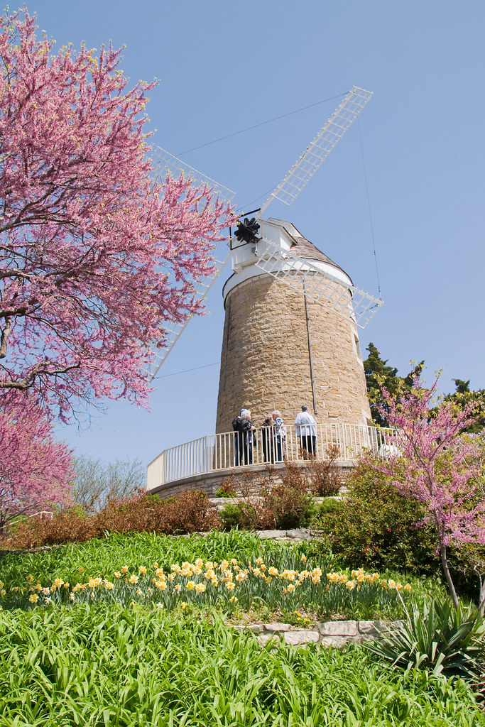
The Old Dutch Mill at Wamego

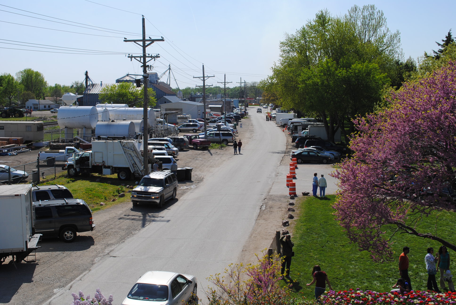
View from inside Toto's Tacoz
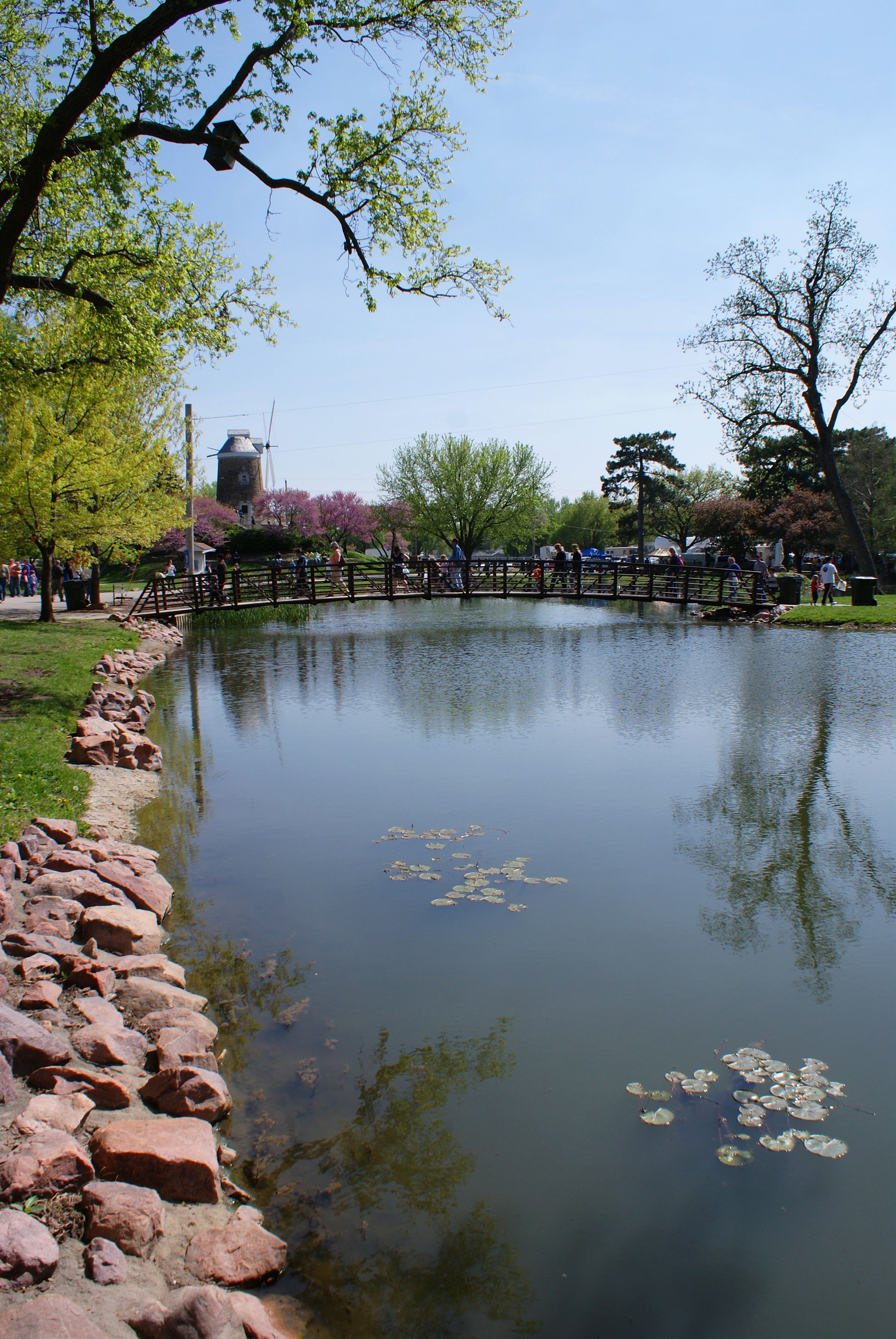
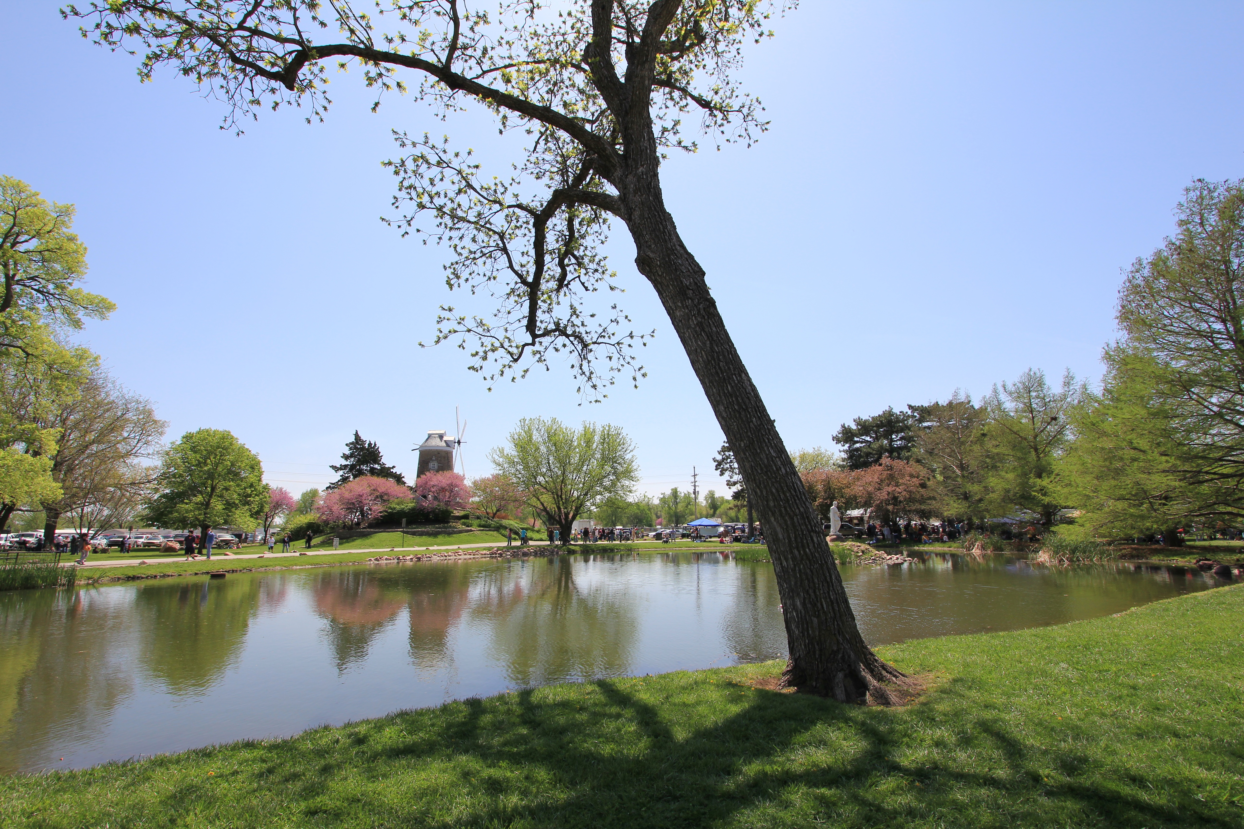
2010_0420 2410.. View from the mill
2010_0420 2389.. Wet basin
dutch mill 1

2010_0420 2211.. Fiery tulips
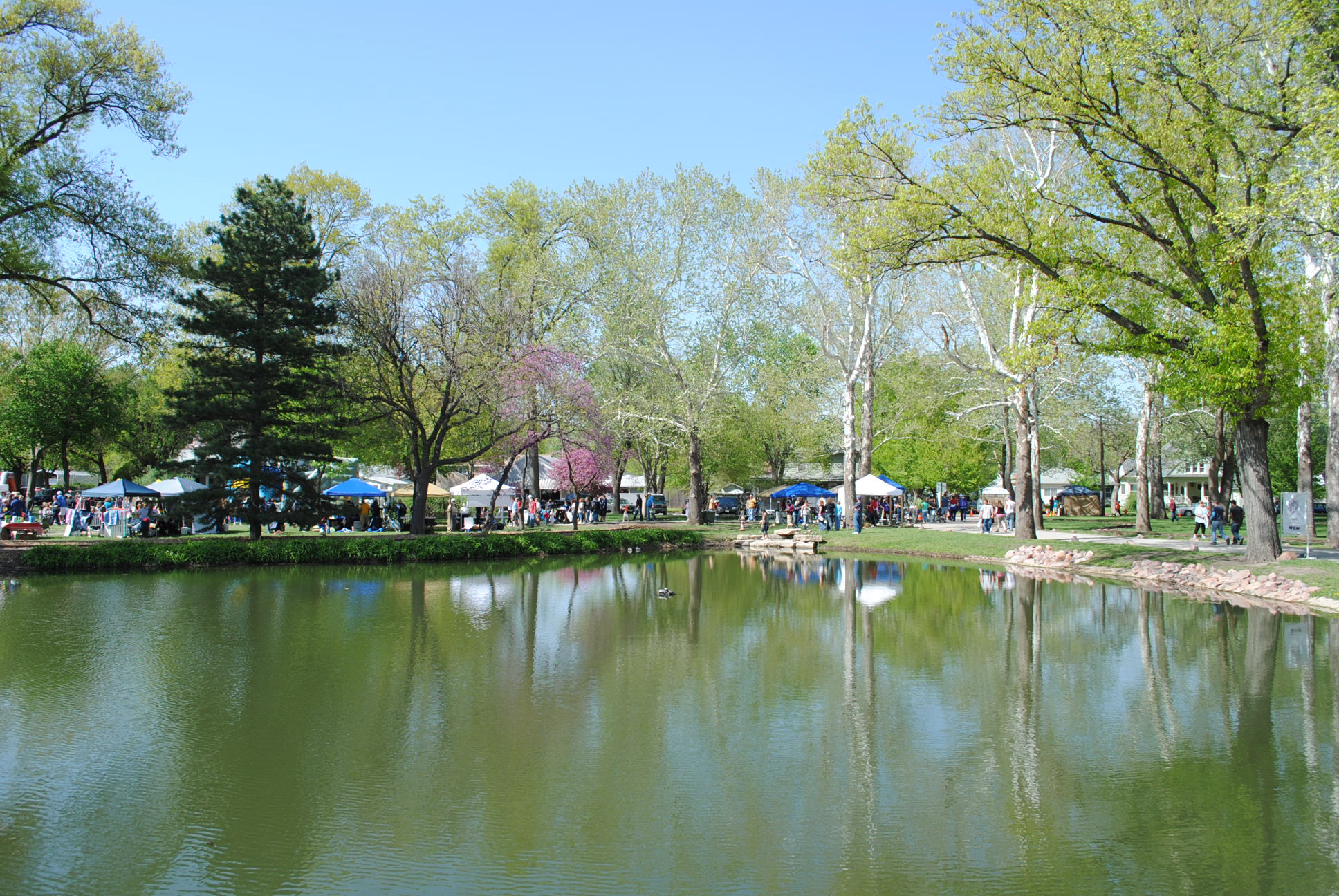
Tulip Festival 473
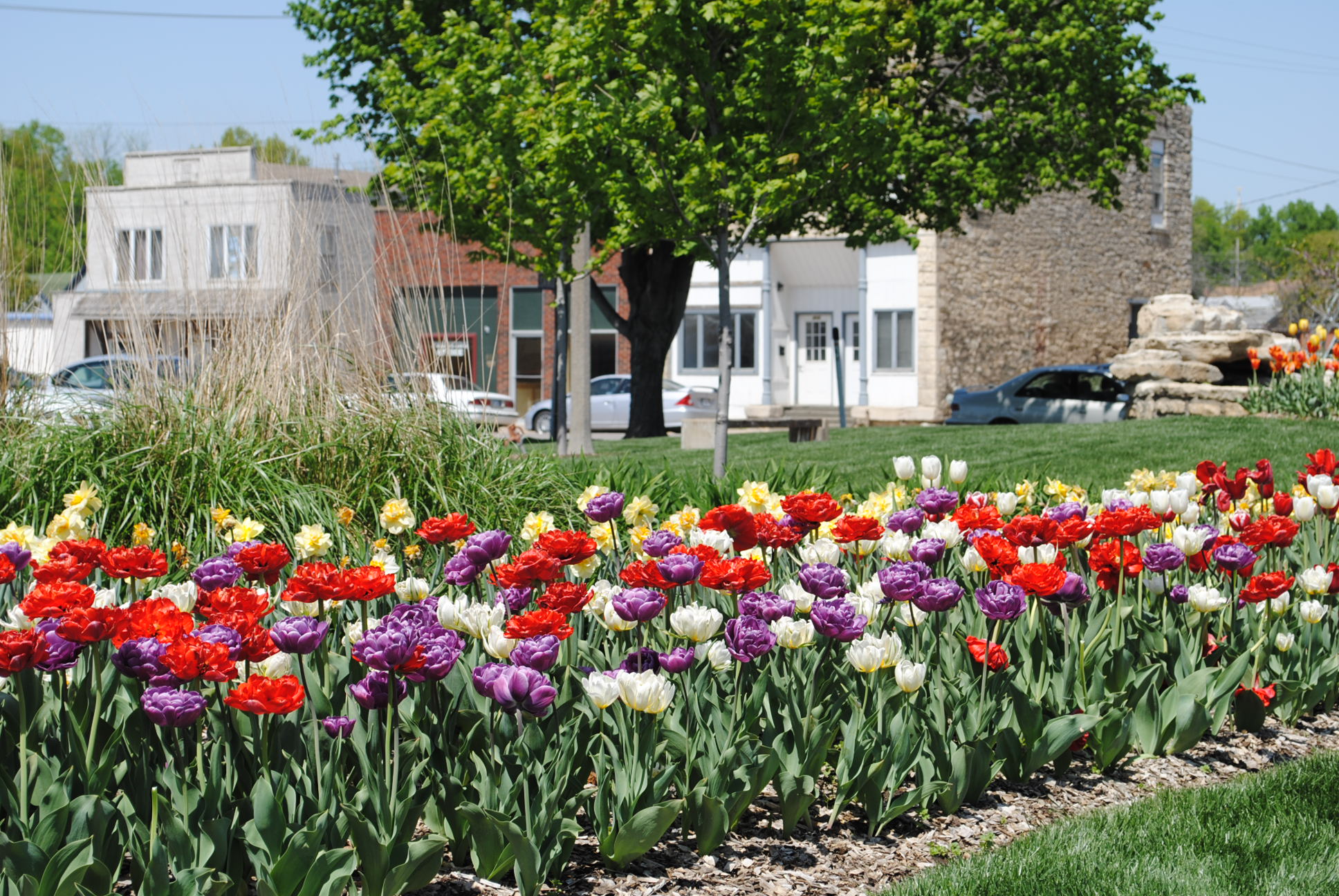
2010_0420 2208.. Time for a tulip festival
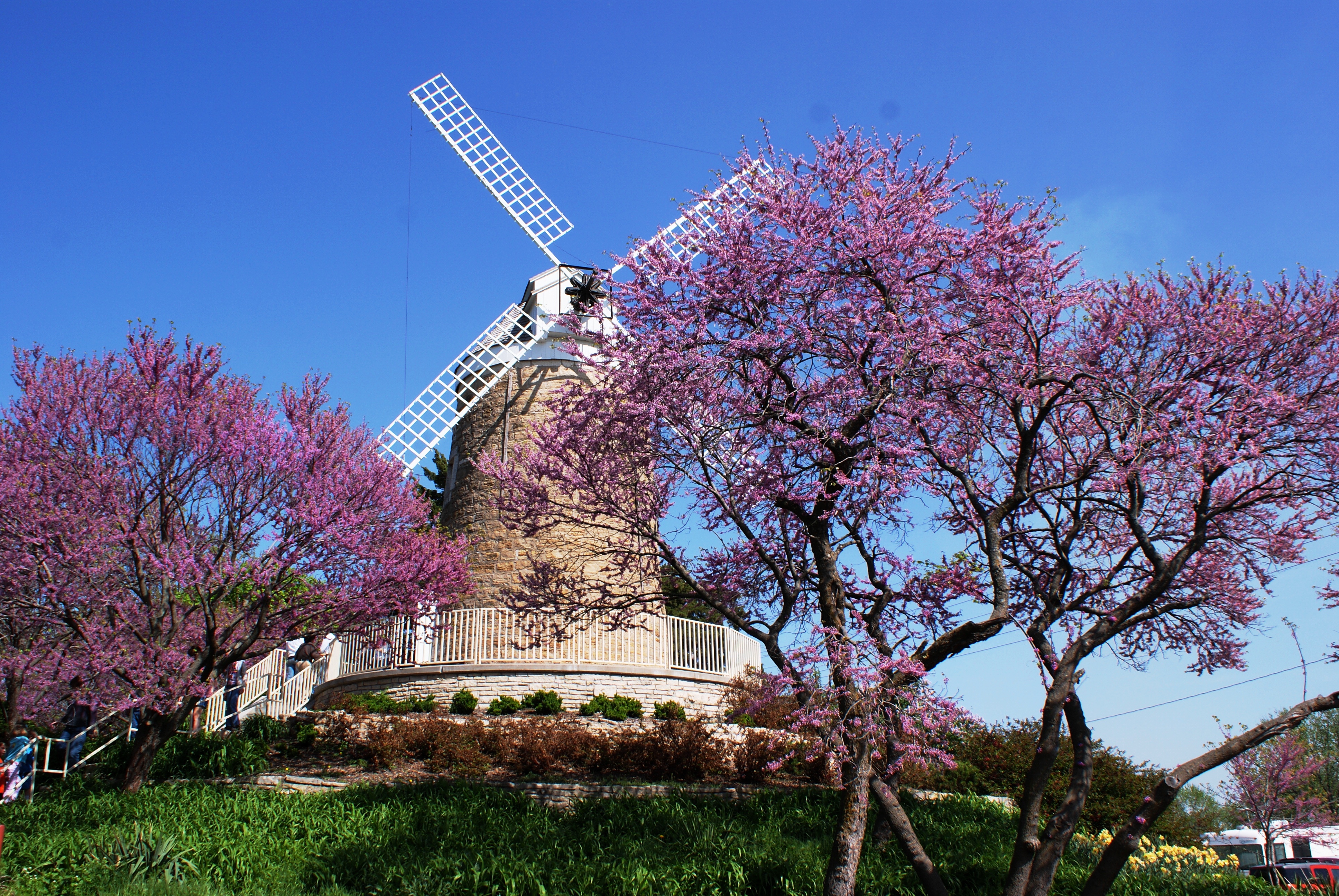
dutch mill 2
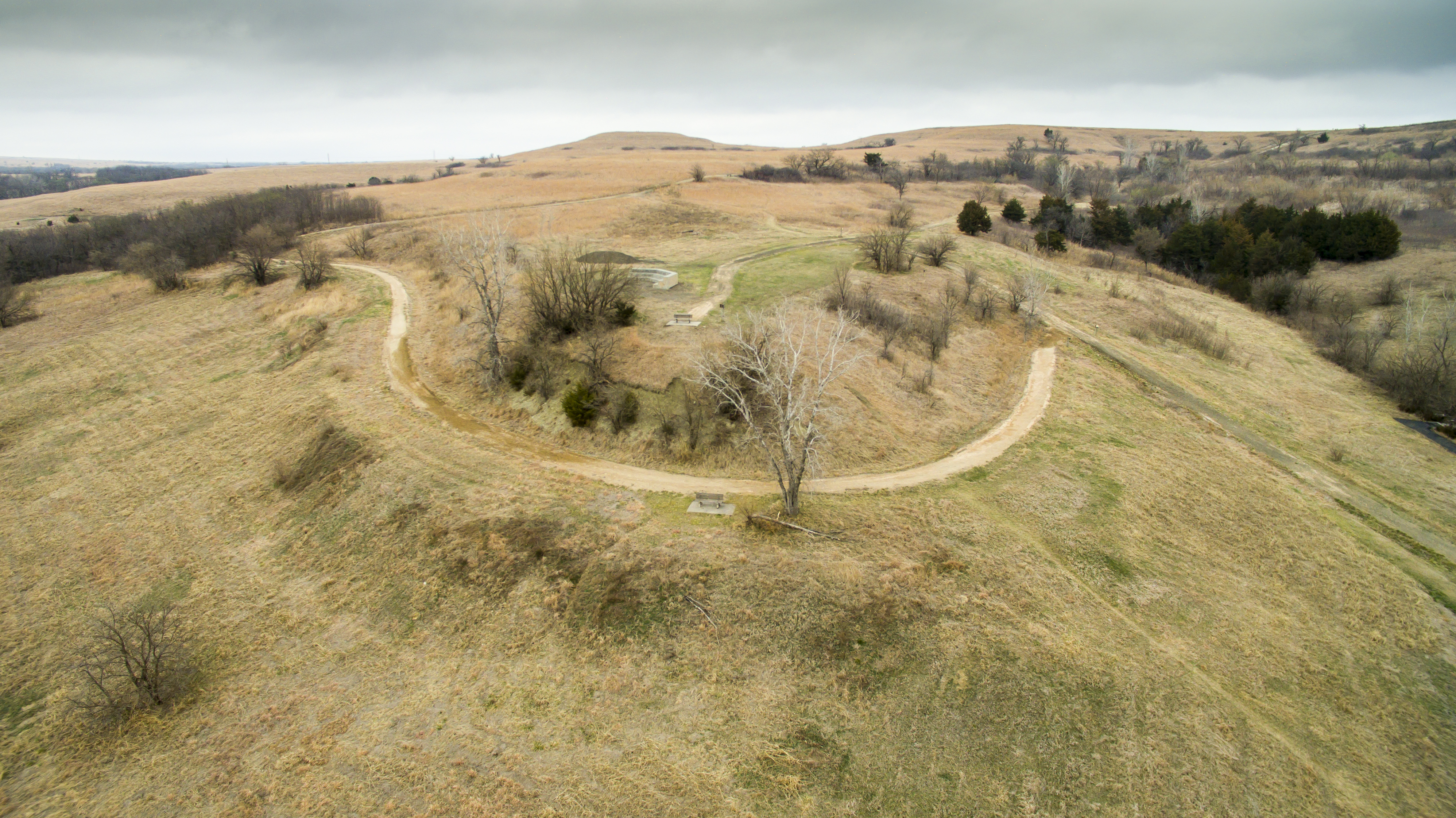
Oregon Trail Nature Park.
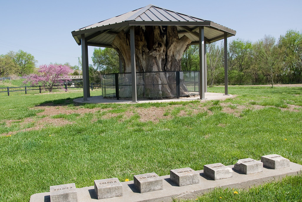
Louis Vieux Elm and Soldiers Memorial
Topographic Map of Belvue, KS, USA
Find elevation by address:

Places in Belvue, KS, USA:
Places near Belvue, KS, USA:
23705 Oregon Trail Rd
Belvue
Broadway St, Belvue, KS, USA
Westar - Jeffrey Energy Center
Center
St. Marys
Emmett
Onaga Rd, Wamego, KS, USA
Wamego
St. Clere
Aiken Switch Rd, Emmett, KS, USA
Emmett
Main St, Emmett, KS, USA
Louisville
Mt Calvary Lutheran Church
Louisville
113 Hickory St
KS-99, Wamego, KS, USA
Wamego
1305 18th St
Recent Searches:
- Elevation of Congressional Dr, Stevensville, MD, USA
- Elevation of Bellview Rd, McLean, VA, USA
- Elevation of Stage Island Rd, Chatham, MA, USA
- Elevation of Shibuya Scramble Crossing, 21 Udagawacho, Shibuya City, Tokyo -, Japan
- Elevation of Jadagoniai, Kaunas District Municipality, Lithuania
- Elevation of Pagonija rock, Kranto 7-oji g. 8"N, Kaunas, Lithuania
- Elevation of Co Rd 87, Jamestown, CO, USA
- Elevation of Tenjo, Cundinamarca, Colombia
- Elevation of Côte-des-Neiges, Montreal, QC H4A 3J6, Canada
- Elevation of Bobcat Dr, Helena, MT, USA