Elevation of Union, KS, USA
Location: United States > Kansas > Pottawatomie County >
Longitude: -96.343878
Latitude: 39.3345028
Elevation: 359m / 1178feet
Barometric Pressure: 97KPa
Elevation Map:
Satellite Map:
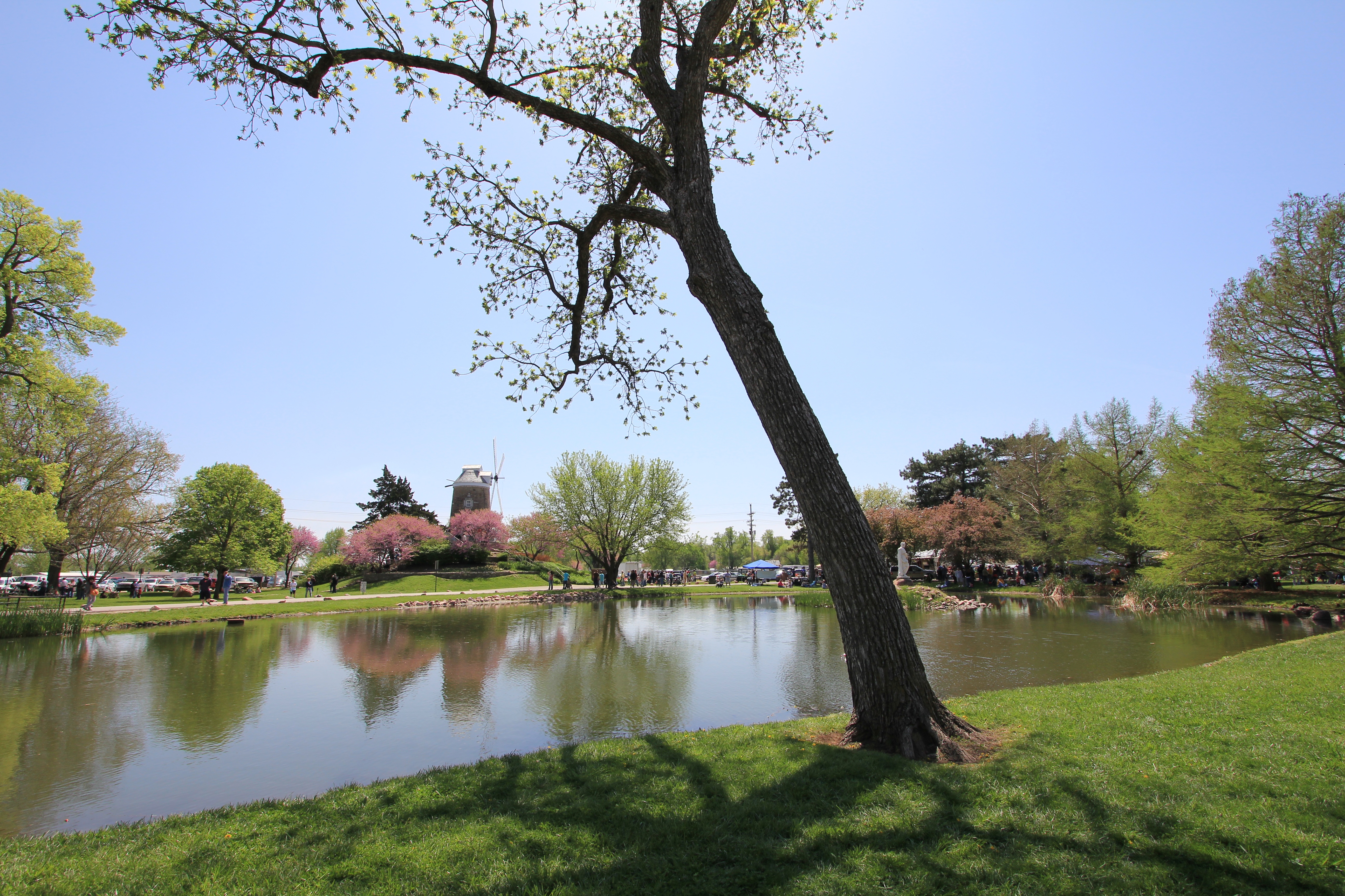
Related Photos:
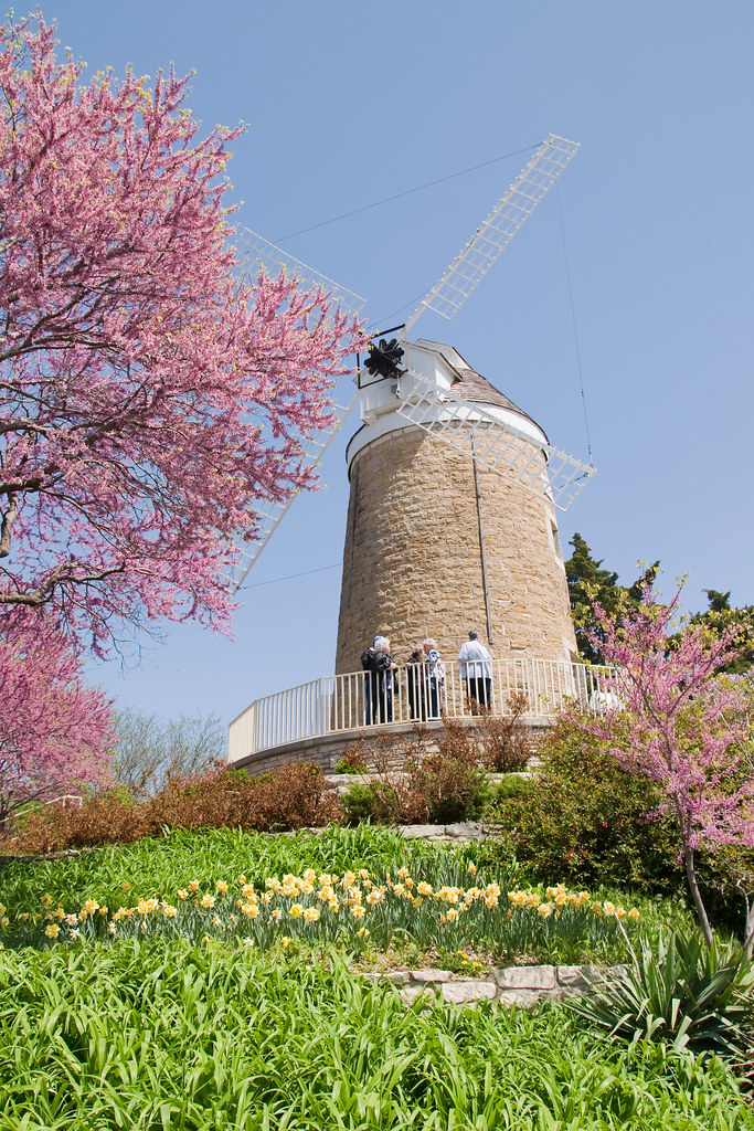
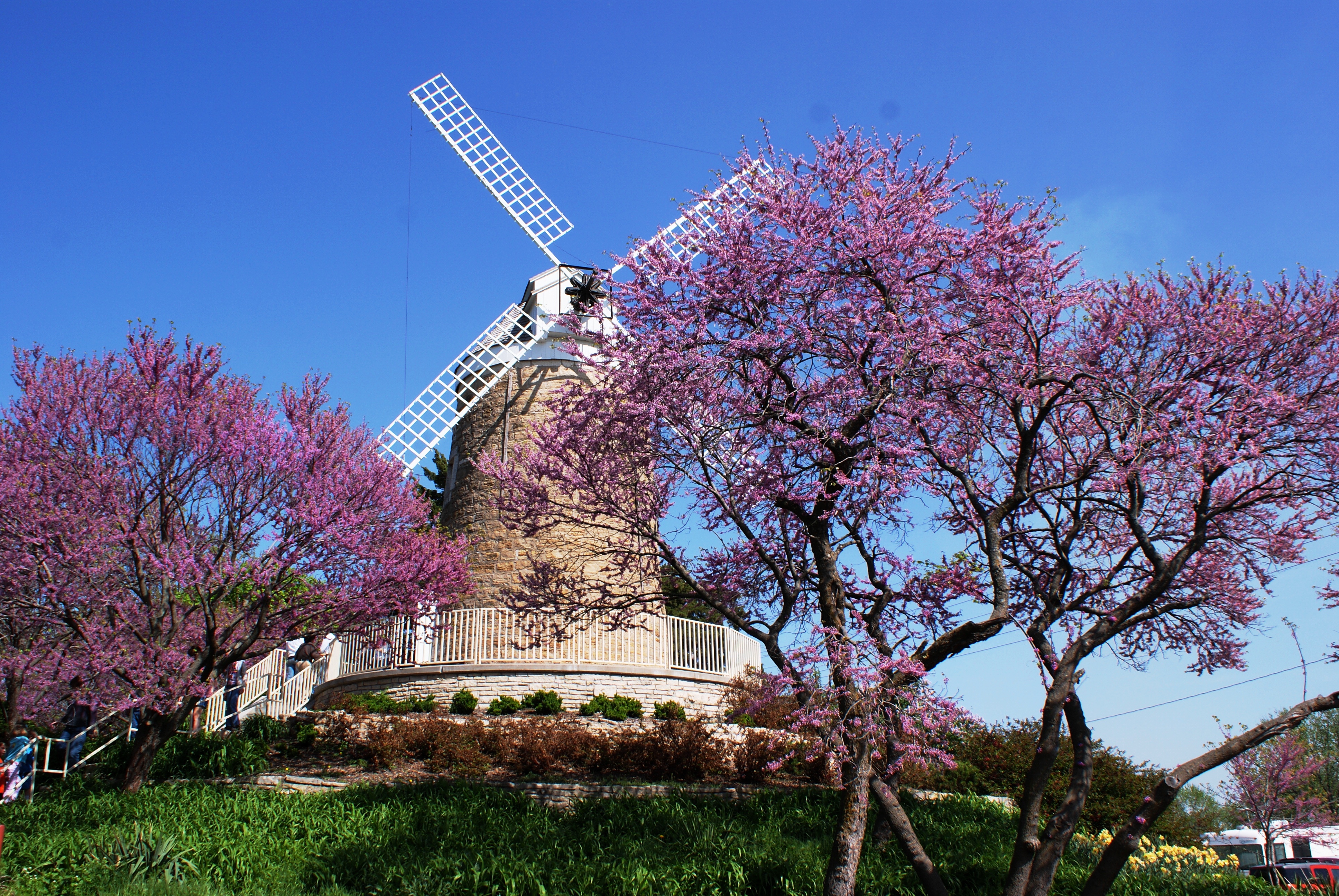
The Old Dutch Mill at Wamego

View from inside Toto's Tacoz
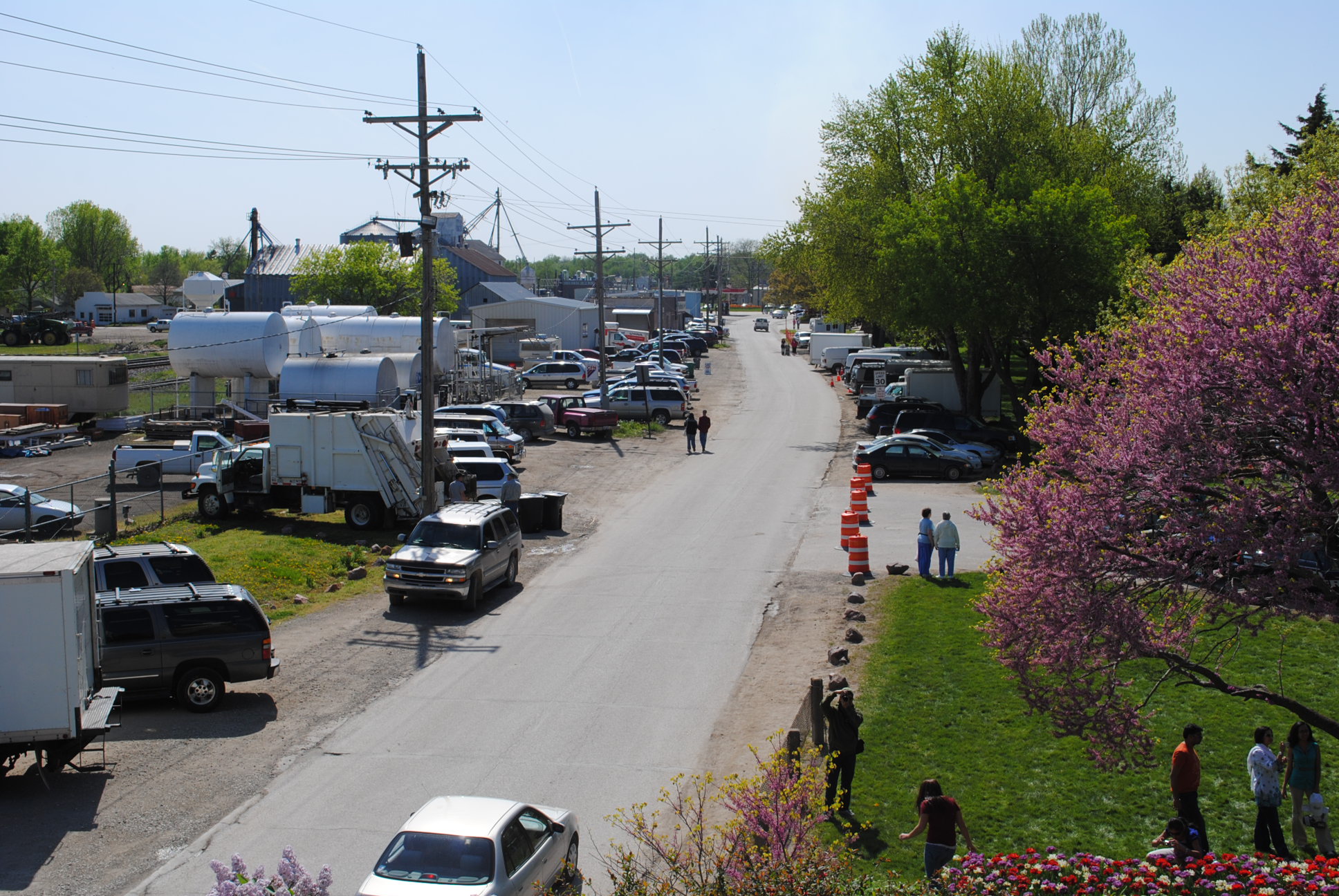
2010_0420 2410.. View from the mill
dutch mill 1
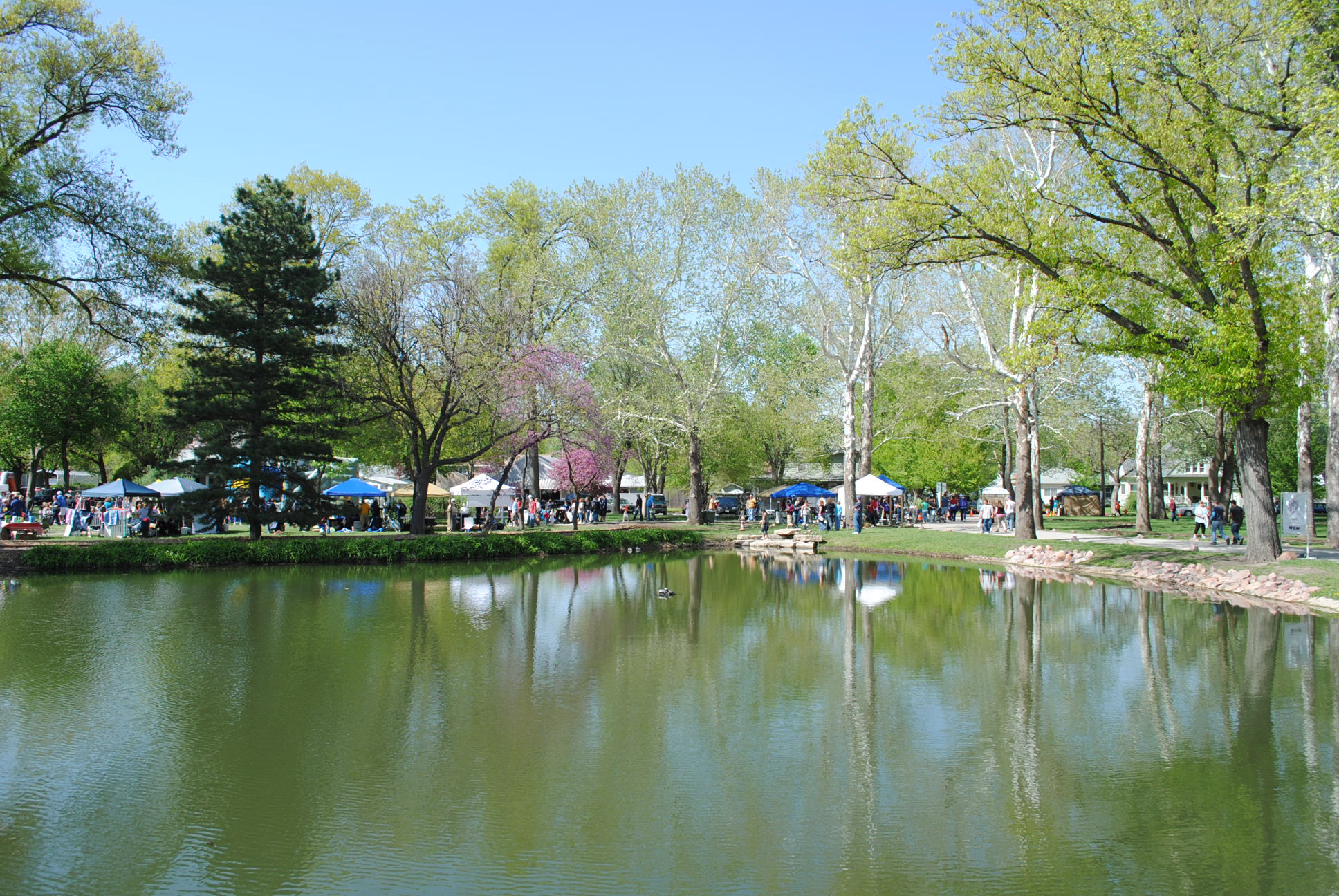
Tulip Festival 473

Washed out road
dutch mill 2
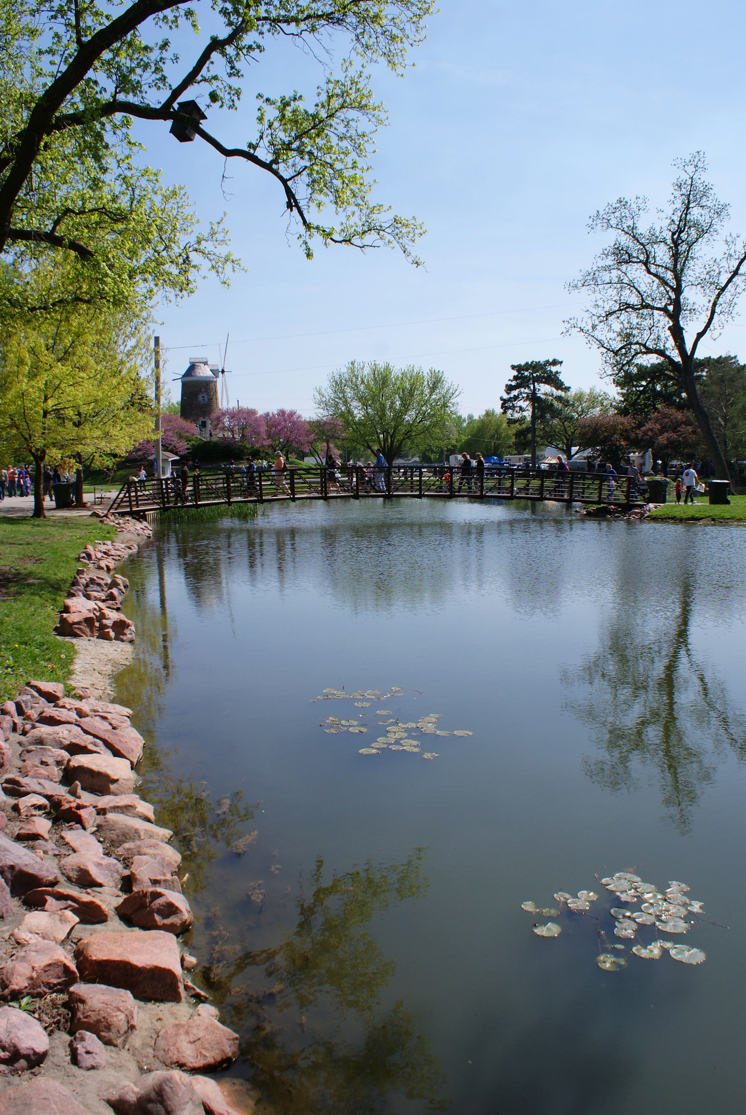
2010_0420 2389.. Wet basin
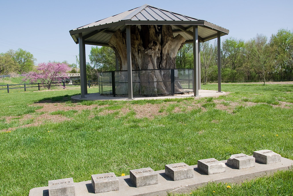
Louis Vieux Elm and Soldiers Memorial
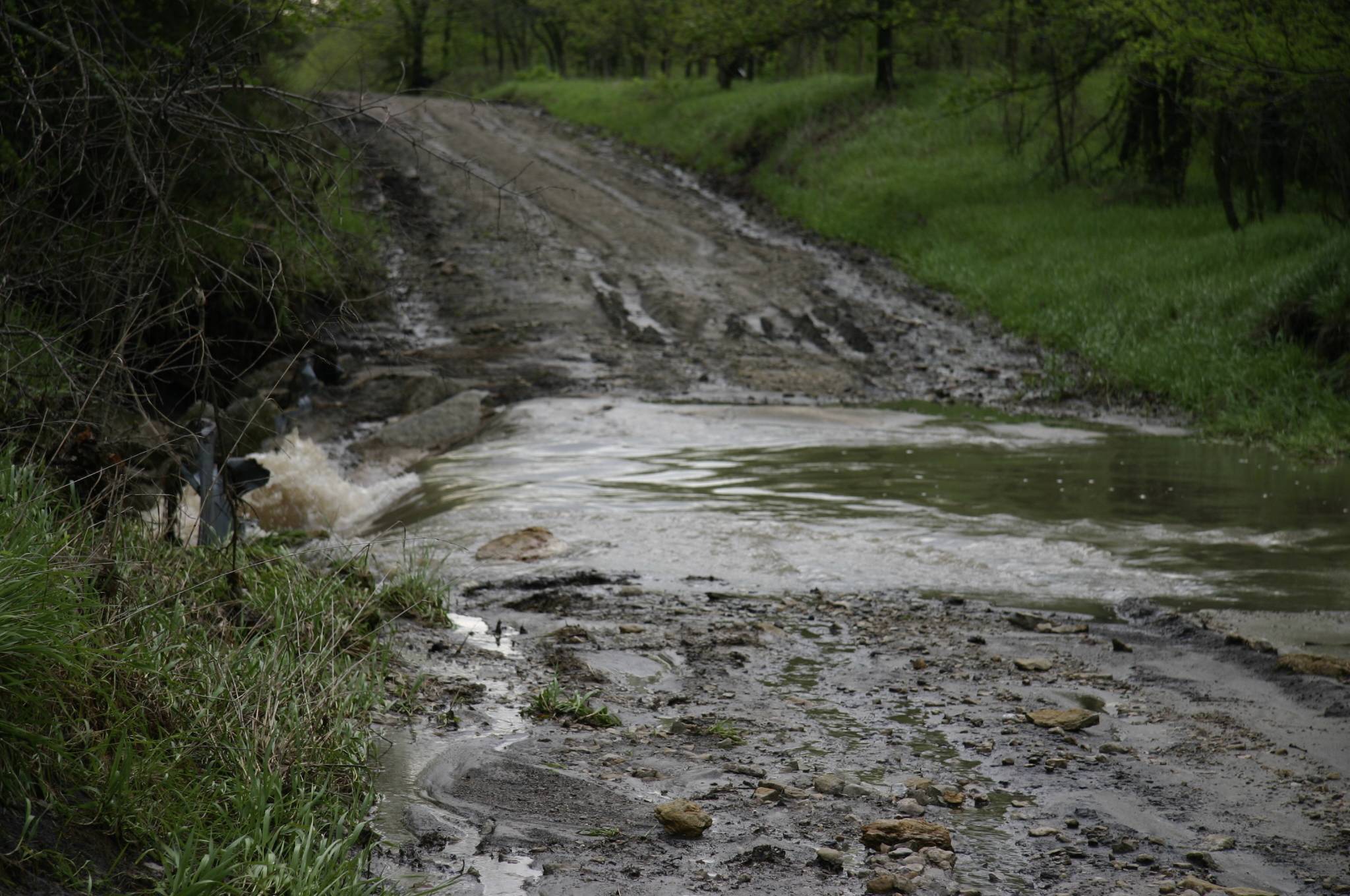
Washed out road
Design Elements (21)
Design Elements (20)

Design Elements (19)
2010_0420 2208.. Time for a tulip festival

2010_0420 2211.. Fiery tulips
2013TallgrassRR 215

2013TallgrassRR 214
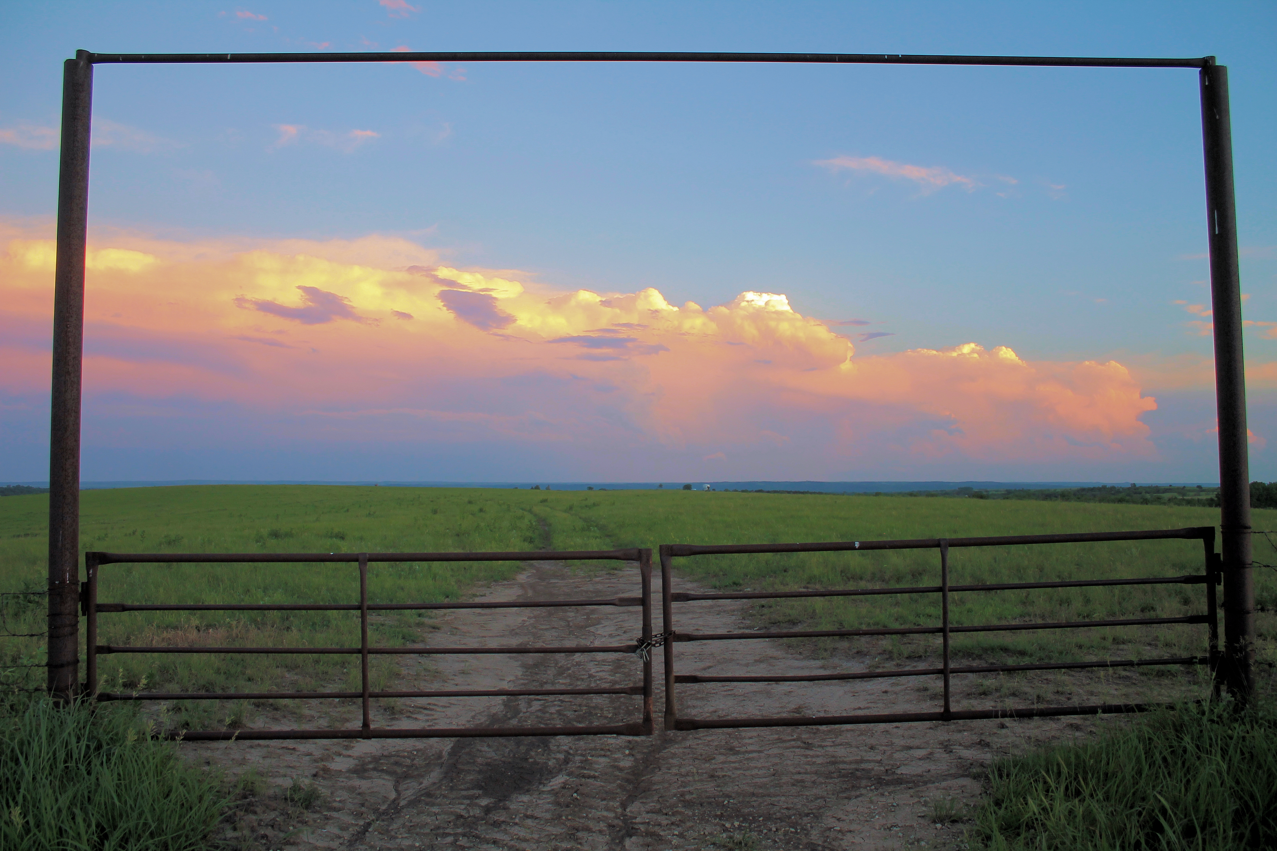
KS Sky 1
2013TallgrassRR 213
Topographic Map of Union, KS, USA
Find elevation by address:

Places near Union, KS, USA:
Flush Rd, St George, KS, USA
Pottawatomie
16075 6th Street Rd
St. George
4945 Blackjack Rd
9978 Lavender Ln
9978 Lavender Ln
9978 Lavender Ln
9250 Cara's Way
Blue
The Links At Manhattan
1908 Tulip Terrace
Dwight D Eisenhower Middle School
Green
1603 Hill Valley Dr
2805 Goodrich Cir
2795 Purcell Rd
Manhattan, KS, USA
Living Water Rd, Olsburg, KS, USA
Kansas Department Of Transportation
Recent Searches:
- Elevation of Elwyn Dr, Roanoke Rapids, NC, USA
- Elevation of Congressional Dr, Stevensville, MD, USA
- Elevation of Bellview Rd, McLean, VA, USA
- Elevation of Stage Island Rd, Chatham, MA, USA
- Elevation of Shibuya Scramble Crossing, 21 Udagawacho, Shibuya City, Tokyo -, Japan
- Elevation of Jadagoniai, Kaunas District Municipality, Lithuania
- Elevation of Pagonija rock, Kranto 7-oji g. 8"N, Kaunas, Lithuania
- Elevation of Co Rd 87, Jamestown, CO, USA
- Elevation of Tenjo, Cundinamarca, Colombia
- Elevation of Côte-des-Neiges, Montreal, QC H4A 3J6, Canada