Elevation of Wenden, AZ, USA
Location: United States > Arizona > La Paz County >
Longitude: -113.54159
Latitude: 33.8225302
Elevation: 568m / 1864feet
Barometric Pressure: 95KPa
Elevation Map:
Satellite Map:
Related Photos:

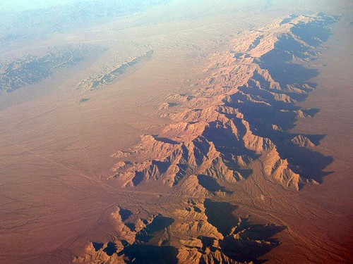
Aerial view at Mountains and Valleys in Southwestern Arizona

Sharp Silhouette

Sunrise Silhouettes at Desert Vista RV Resort

Arizona & California 4001 west Castle Hot Springs-Parker turn, Granite Pass AZ 11.10.2018

Arizona Wheat
Little Buckskin Mountains & Black Butte

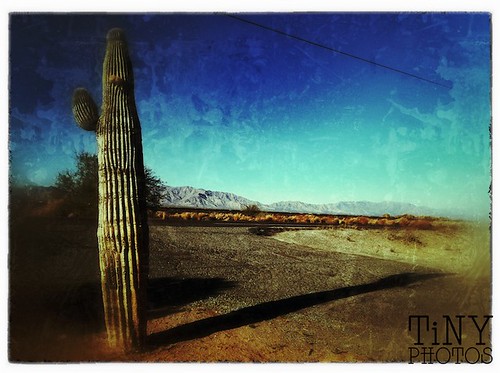
What my first day in Arizona looked like
Lone Ranger

0109-130204

0106-162318

0120-135455

0126-162101

0129-155715
Topographic Map of Wenden, AZ, USA
Find elevation by address:

Places near Wenden, AZ, USA:
Salome
37947 Whistlers Way
US-60, Salome, AZ, USA
AZ-72, Salome, AZ, USA
Browns Canyon
Aguila
Colorado River
Forepaugh Peak Rd, Wickenburg, AZ, USA
Signal Rd, Yucca, AZ, USA
Mccracken Mine Road
Perkins Rd, Wikieup, AZ, USA
Yucca, AZ, USA
34215 N 355th Ave
Burro Creek Campground
Date Creek Road
5 Mile Road
21280 W Vista Royale Dr
W Coyote Gulch, Wickenburg, AZ, USA
27565 Clydesdale Ave
Nine Irons Ranch Rd, Wickenburg, AZ, USA
Recent Searches:
- Elevation of Congressional Dr, Stevensville, MD, USA
- Elevation of Bellview Rd, McLean, VA, USA
- Elevation of Stage Island Rd, Chatham, MA, USA
- Elevation of Shibuya Scramble Crossing, 21 Udagawacho, Shibuya City, Tokyo -, Japan
- Elevation of Jadagoniai, Kaunas District Municipality, Lithuania
- Elevation of Pagonija rock, Kranto 7-oji g. 8"N, Kaunas, Lithuania
- Elevation of Co Rd 87, Jamestown, CO, USA
- Elevation of Tenjo, Cundinamarca, Colombia
- Elevation of Côte-des-Neiges, Montreal, QC H4A 3J6, Canada
- Elevation of Bobcat Dr, Helena, MT, USA