Elevation map of La Paz County, AZ, USA
Location: United States > Arizona >
Longitude: -113.95364
Latitude: 34.0061091
Elevation: 354m / 1161feet
Barometric Pressure: 97KPa
Elevation Map:
Satellite Map:
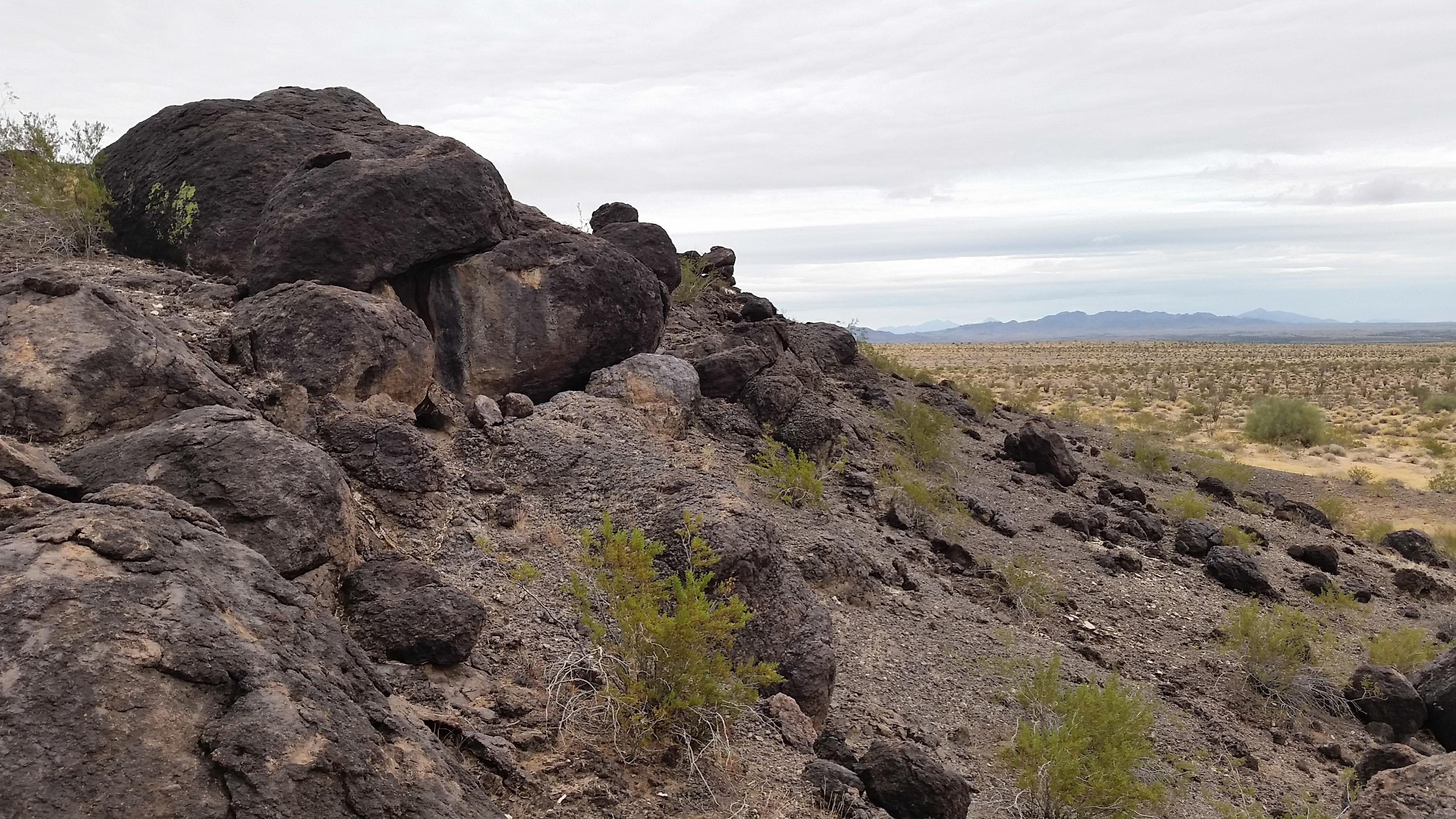
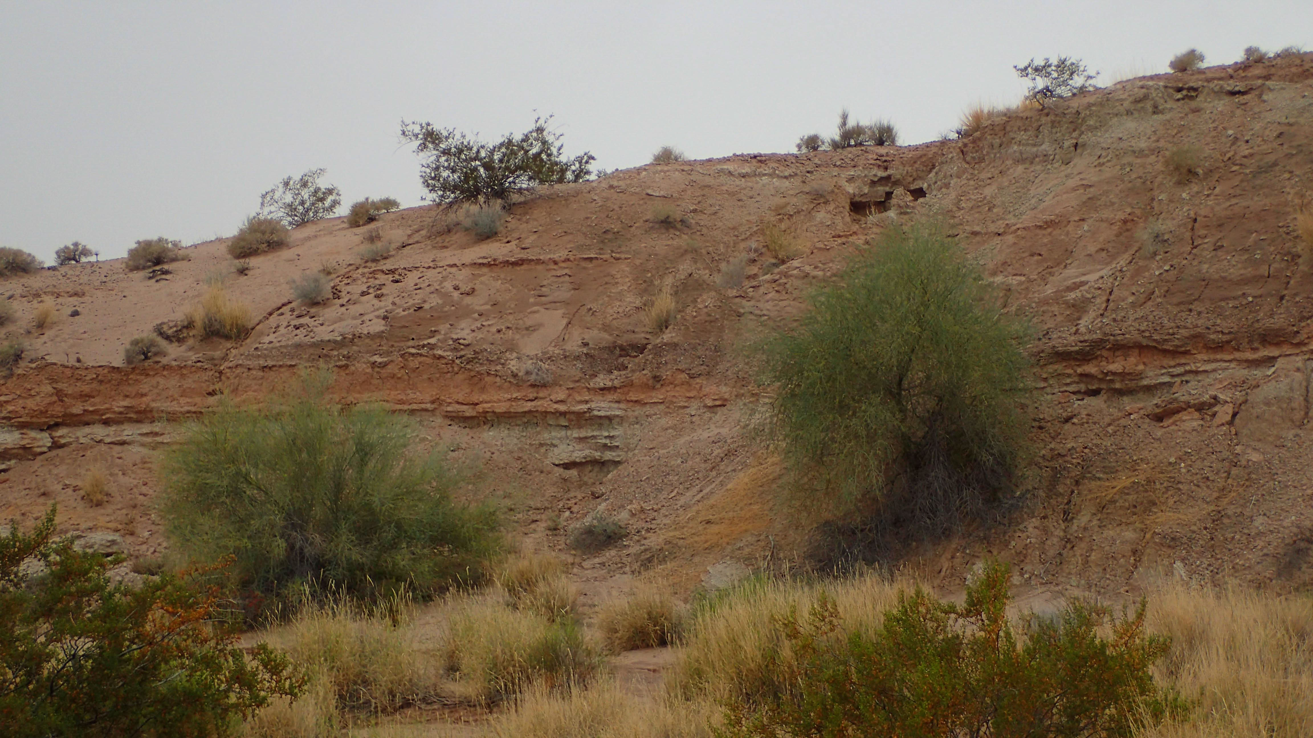
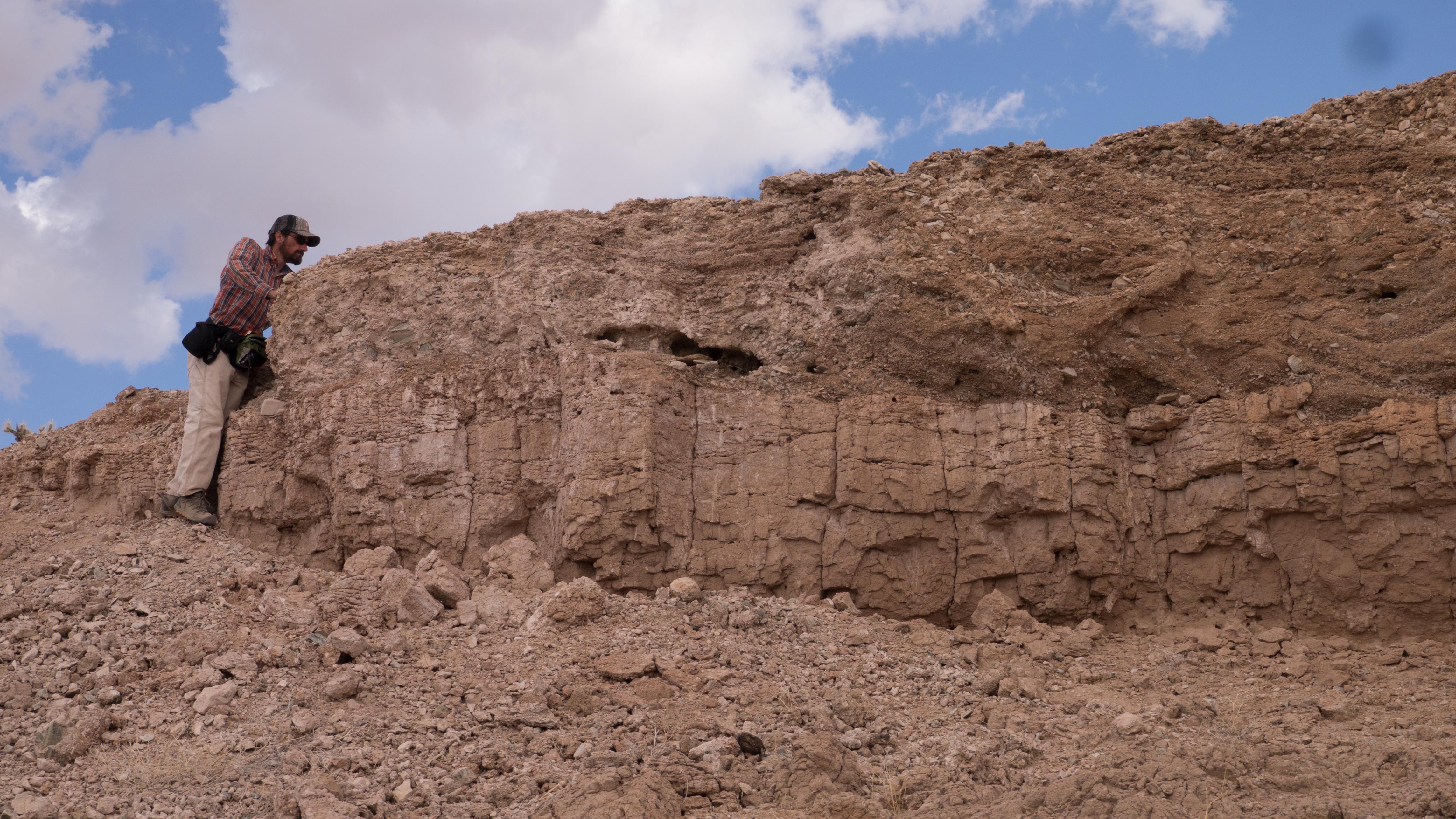
Related Photos:
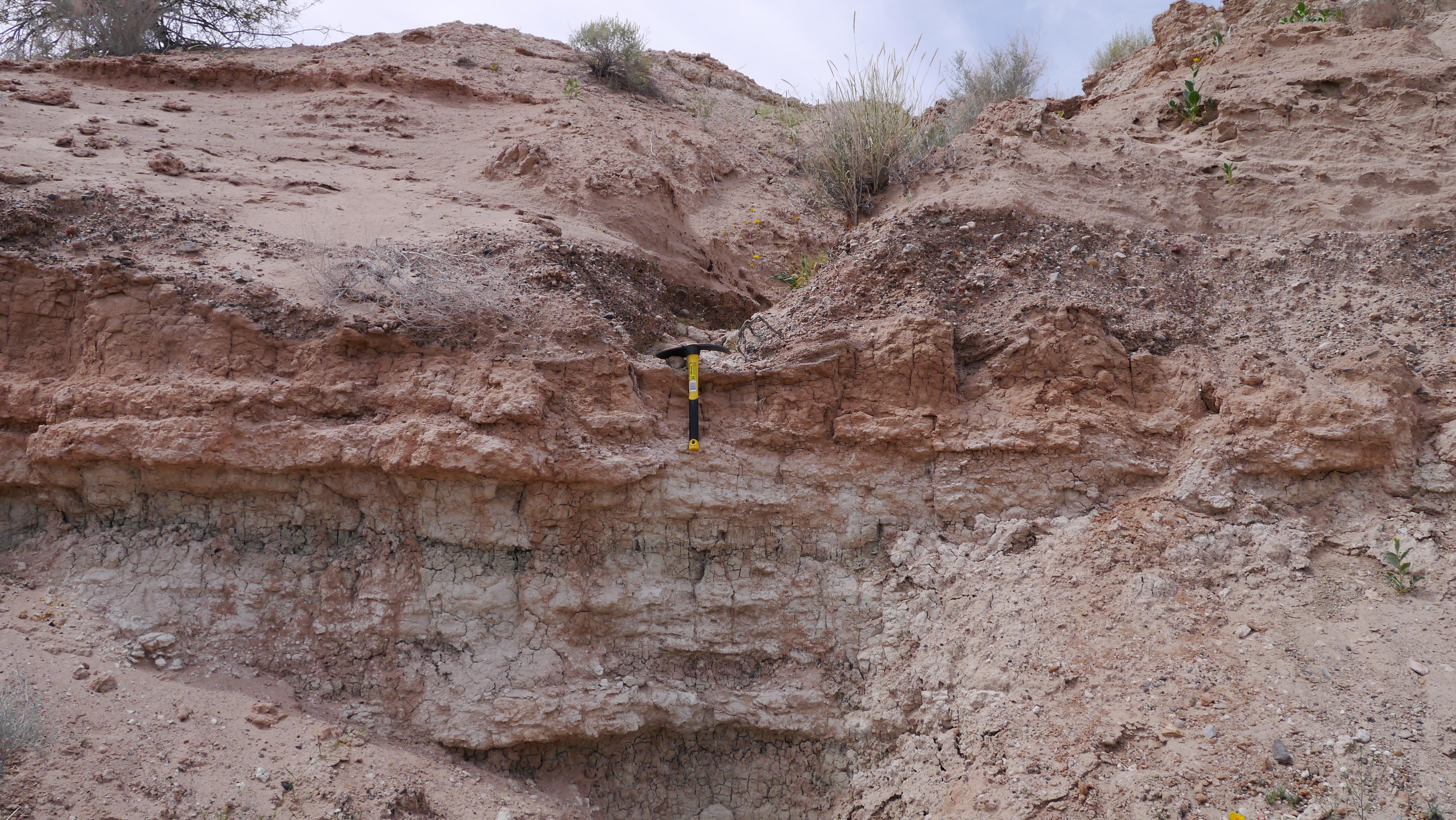
P1010958.jpg
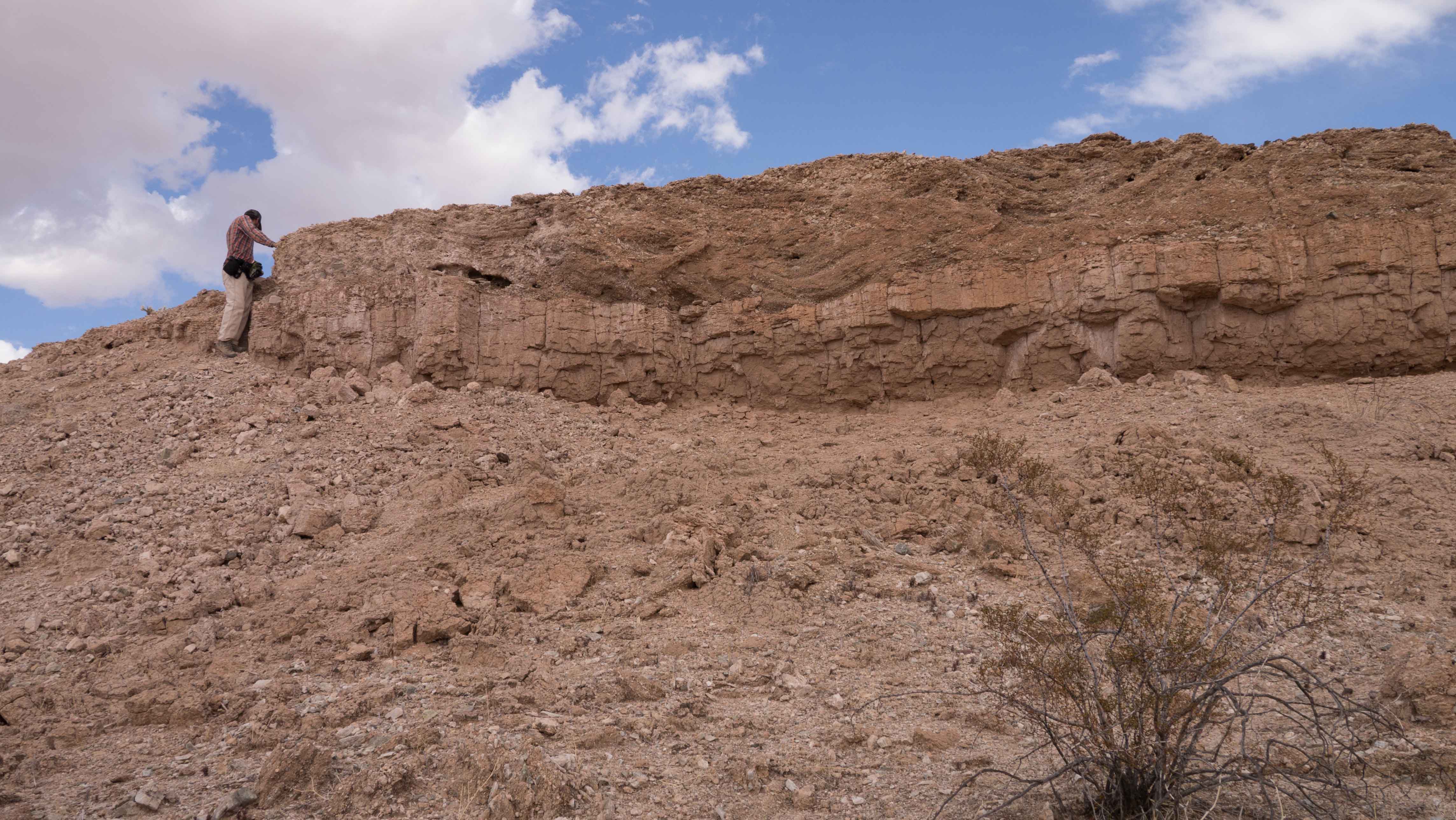
P1040384.jpg
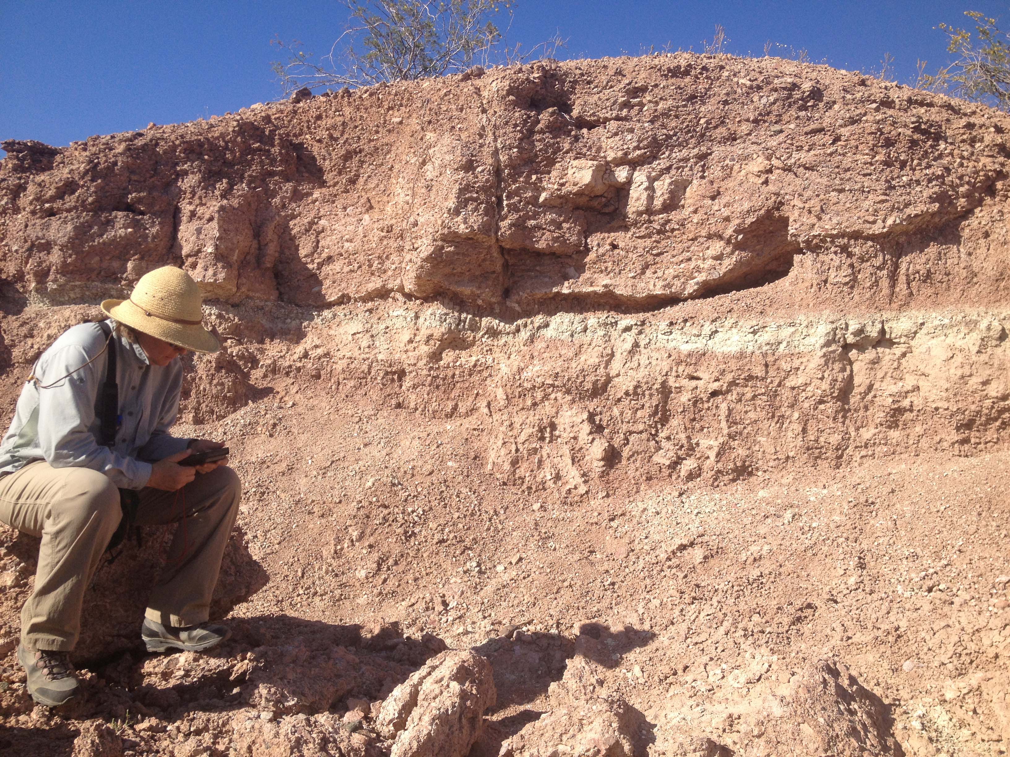
2013-04-03 16.28.13.jpg
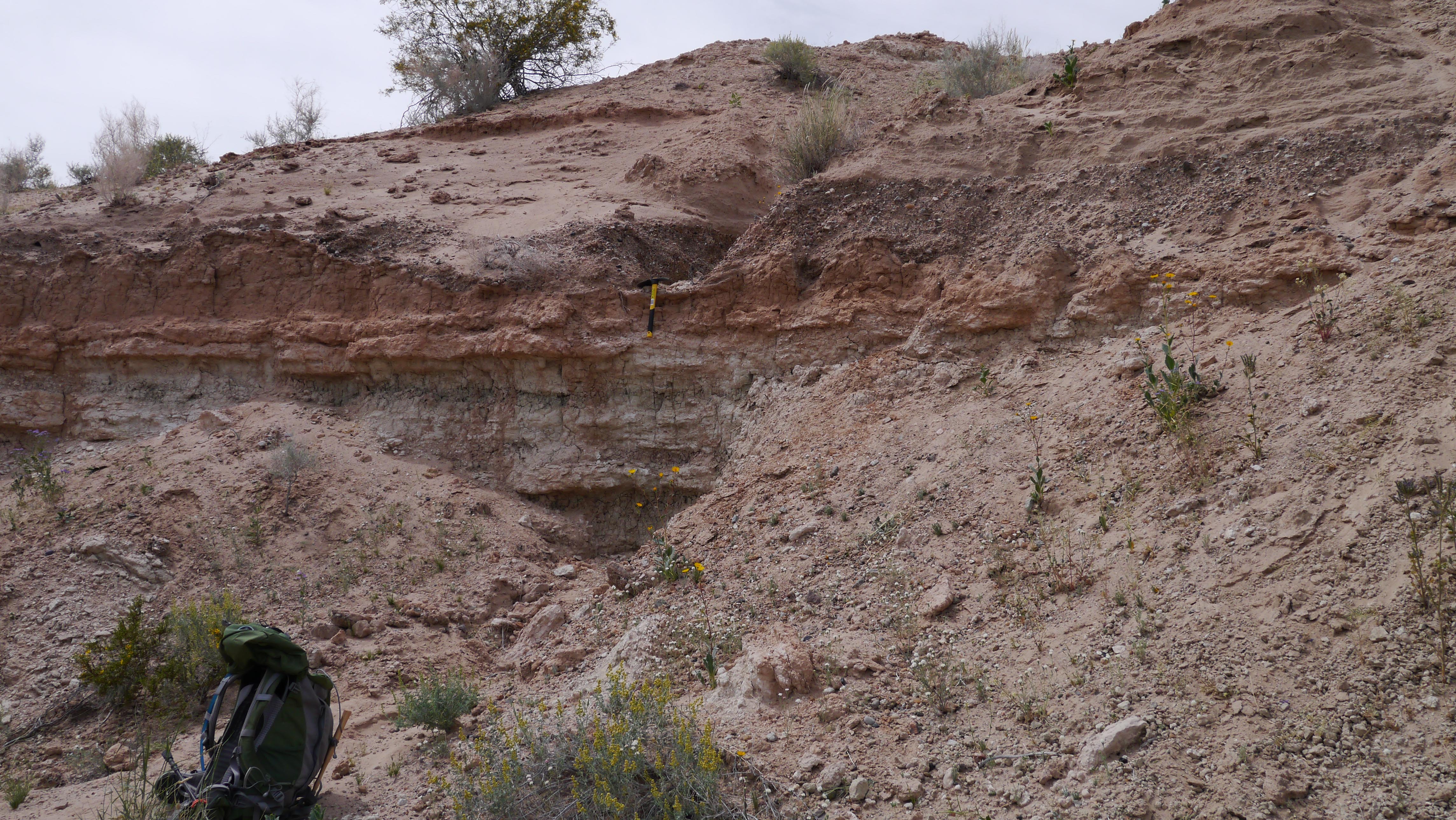
P1010960.jpg
2014-12-03 12.59.06.jpg
PC032194.jpg
P1040383.jpg

PC032178.jpg

PC032170.jpg

PC032177.jpg
Topographic Map of La Paz County, AZ, USA
Find elevation by address:

Places in La Paz County, AZ, USA:
Places near La Paz County, AZ, USA:
Main Street
Bouse
Az-72 & Willamette Dr
Parker Strip
Riverside Dr, Parker, AZ, USA
Parker Dam
Parker Dam
Parker Dam
Bill Williams River
Mcculloch Blvd N, Lake Havasu City, AZ, USA
1564 Az-95
Headgate Rock Dam
Parker
Big River
Havasu
Vagabond Drive
3888 Challenger Dr
4241 Trotwood Dr
4056 Calimesa Dr
4050 Lakeview Rd
Recent Searches:
- Elevation of Corso Fratelli Cairoli, 35, Macerata MC, Italy
- Elevation of Tallevast Rd, Sarasota, FL, USA
- Elevation of 4th St E, Sonoma, CA, USA
- Elevation of Black Hollow Rd, Pennsdale, PA, USA
- Elevation of Oakland Ave, Williamsport, PA, USA
- Elevation of Pedrógão Grande, Portugal
- Elevation of Klee Dr, Martinsburg, WV, USA
- Elevation of Via Roma, Pieranica CR, Italy
- Elevation of Tavkvetili Mountain, Georgia
- Elevation of Hartfords Bluff Cir, Mt Pleasant, SC, USA