Elevation of Salome, AZ, USA
Location: United States > Arizona > La Paz County >
Longitude: -113.61465
Latitude: 33.7811416
Elevation: 573m / 1880feet
Barometric Pressure: 95KPa
Elevation Map:
Satellite Map:
Related Photos:

Coming 'Round the Bend
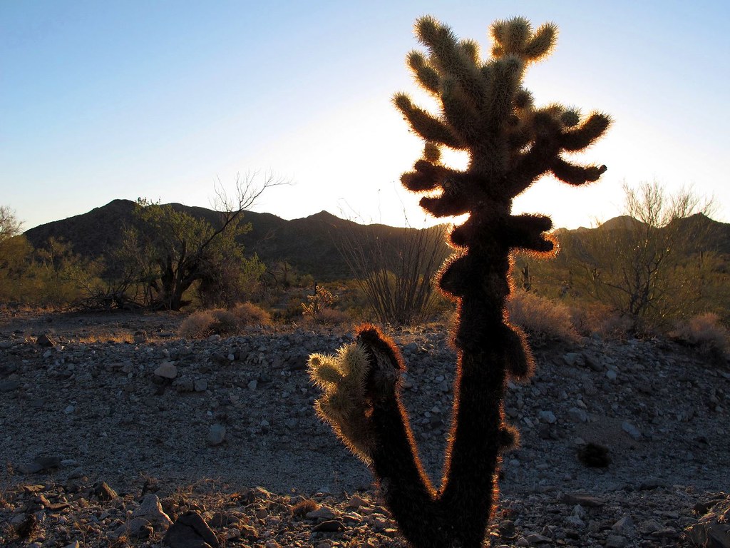
Sharp Silhouette
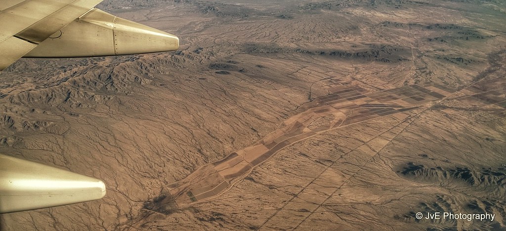
Aerial view at Mountains and Valleys in Southwestern Arizona

Sunrise Silhouettes at Desert Vista RV Resort
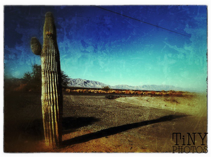
Lone Ranger
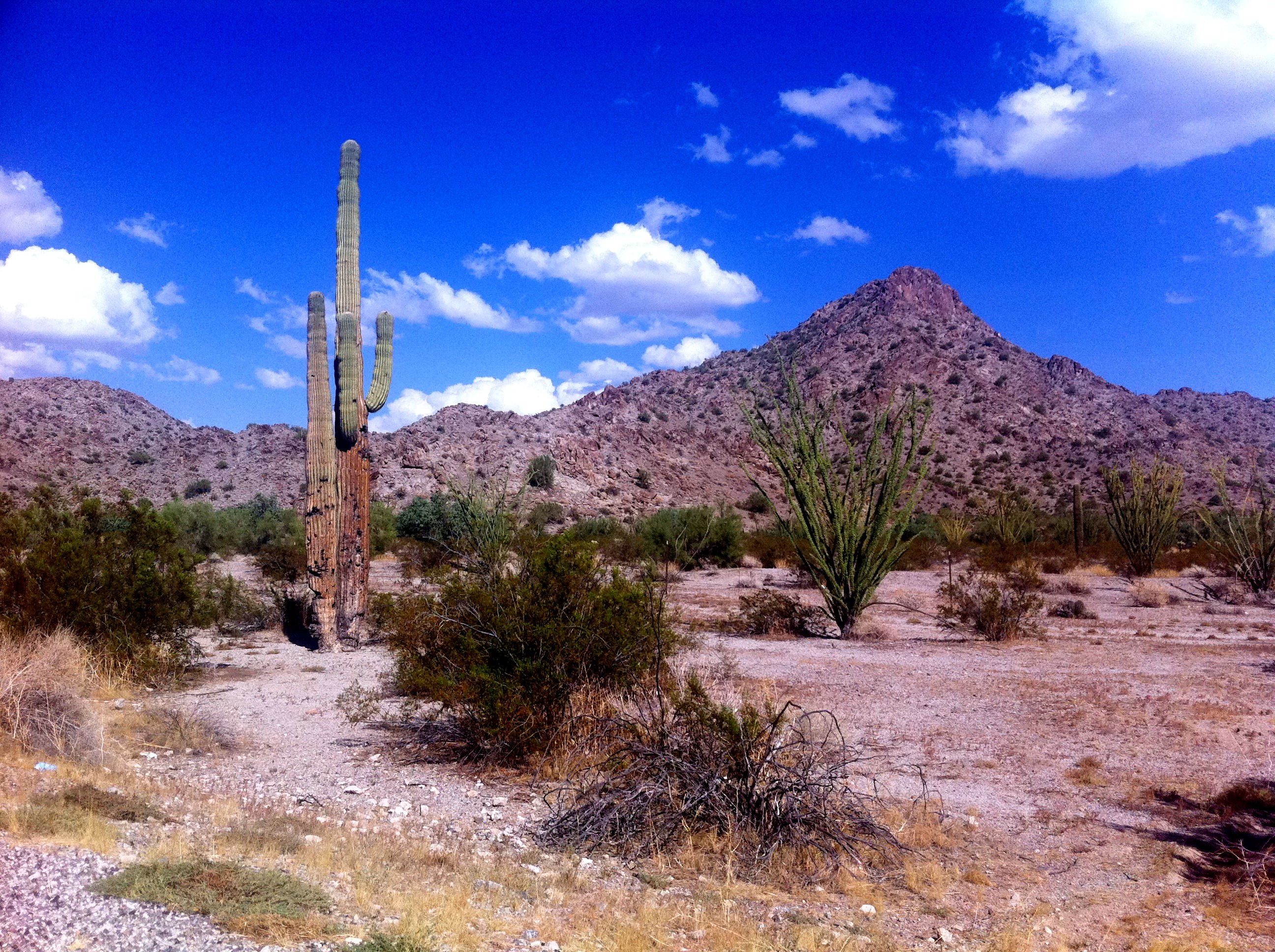
What my first day in Arizona looked like

Sunrise at Desert Vista RV Resort

day 9

day 9 Hans solo

day 9

day 9
Canon-0525-USA-2012-04-09

Abandoned Harquahala Mine, Arizona

Abandoned Harquahala Mine, Arizona
Topographic Map of Salome, AZ, USA
Find elevation by address:

Places in Salome, AZ, USA:
Vicksburg Rd, Salome, AZ, USA
Vicksburg Rd, Salome, AZ, USA
US-60, Salome, AZ, USA
AZ-72, Salome, AZ, USA
US-60, Salome, AZ, USA
US-60, Salome, AZ, USA
US-60, Salome, AZ, USA
US-60, Salome, AZ, USA
Places near Salome, AZ, USA:
37947 Whistlers Way
US-60, Salome, AZ, USA
Wenden
AZ-72, Salome, AZ, USA
Browns Canyon
Aguila
Colorado River
Forepaugh Peak Rd, Wickenburg, AZ, USA
Mccracken Mine Road
Signal Rd, Yucca, AZ, USA
Yucca, AZ, USA
Perkins Rd, Wikieup, AZ, USA
Burro Creek Campground
34215 N 355th Ave
Date Creek Road
Six Mile Crossing
5 Mile Road
21280 W Vista Royale Dr
W Coyote Gulch, Wickenburg, AZ, USA
Nine Irons Ranch Rd, Wickenburg, AZ, USA
Recent Searches:
- Elevation of Corso Fratelli Cairoli, 35, Macerata MC, Italy
- Elevation of Tallevast Rd, Sarasota, FL, USA
- Elevation of 4th St E, Sonoma, CA, USA
- Elevation of Black Hollow Rd, Pennsdale, PA, USA
- Elevation of Oakland Ave, Williamsport, PA, USA
- Elevation of Pedrógão Grande, Portugal
- Elevation of Klee Dr, Martinsburg, WV, USA
- Elevation of Via Roma, Pieranica CR, Italy
- Elevation of Tavkvetili Mountain, Georgia
- Elevation of Hartfords Bluff Cir, Mt Pleasant, SC, USA