Elevation of Signal Rd, Yucca, AZ, USA
Location: United States > Arizona > Mohave County > Yucca >
Longitude: -113.62096
Latitude: 34.481139
Elevation: 437m / 1434feet
Barometric Pressure: 96KPa
Elevation Map:
Satellite Map:
Related Photos:
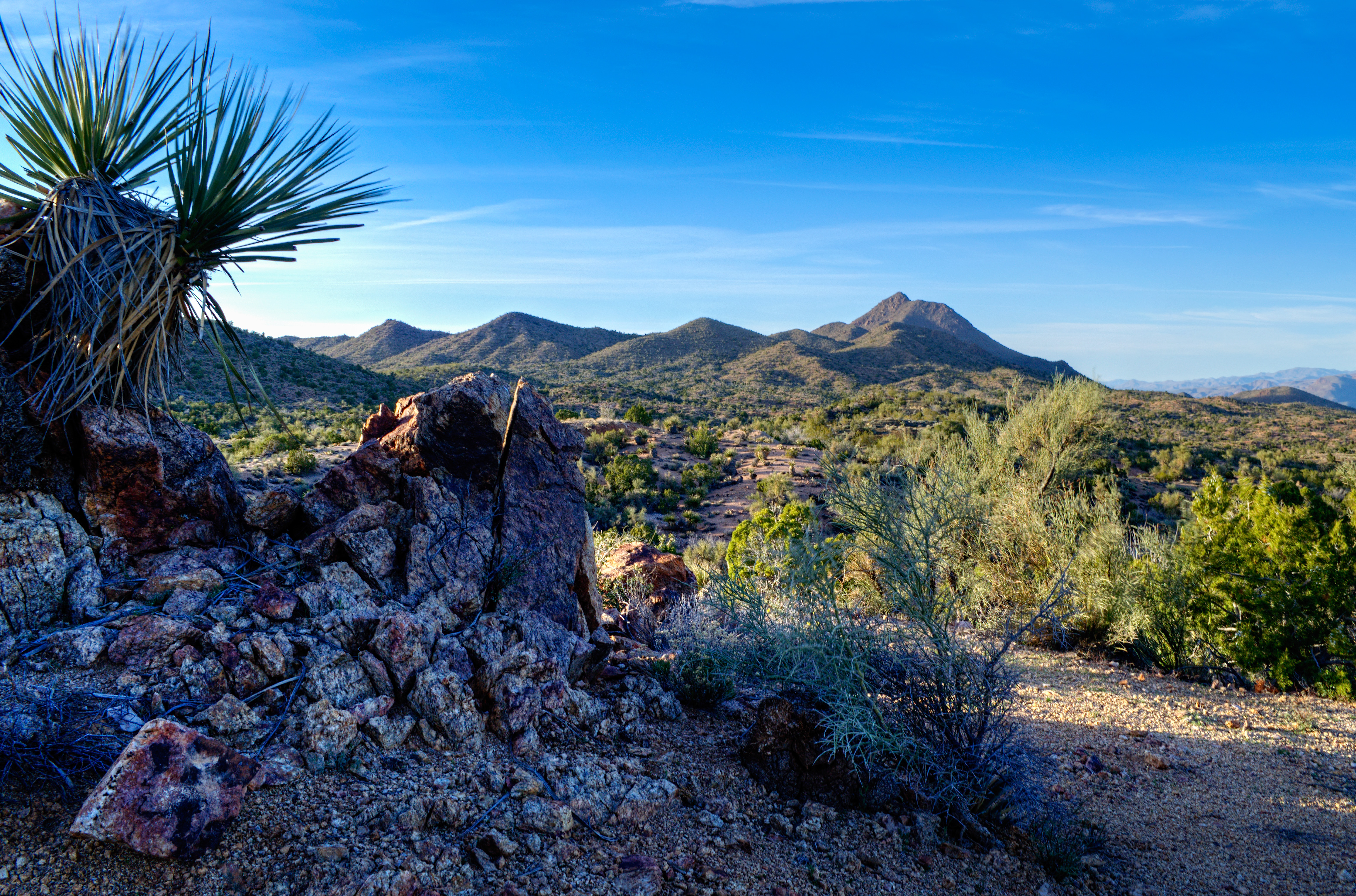
Greenwood Peak
ninety-three south, arizona

McCracken Mine Road
McCracken Mine
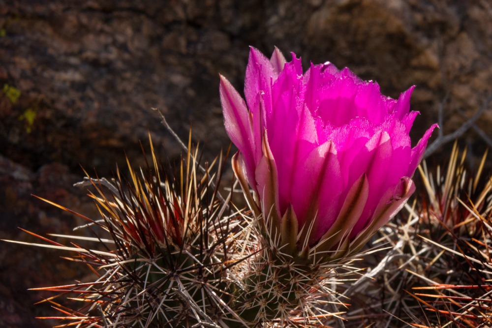
A Cactus Blossom
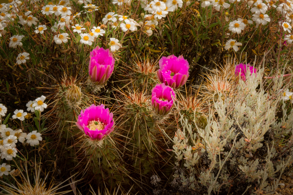
Cactus and Daisy Blossoms
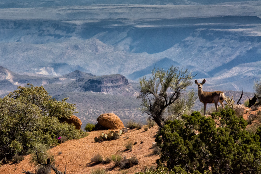
Deer at the Edge of Burro Creek
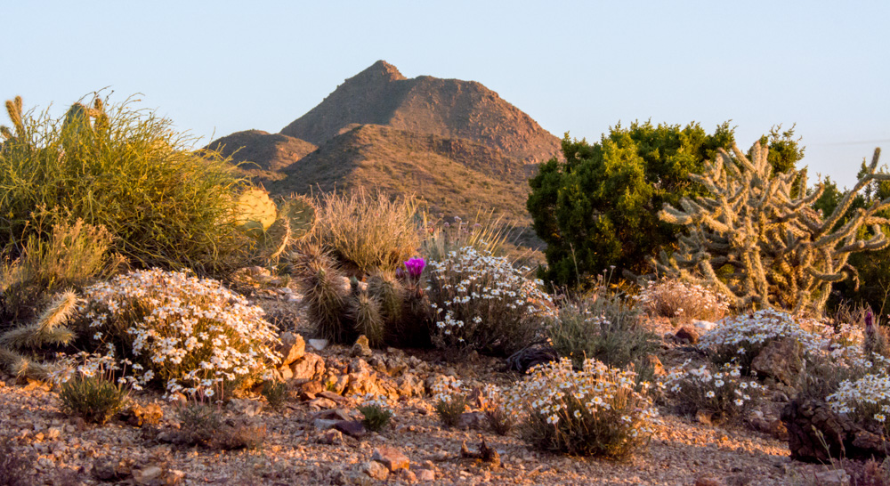
Morning Blossoms
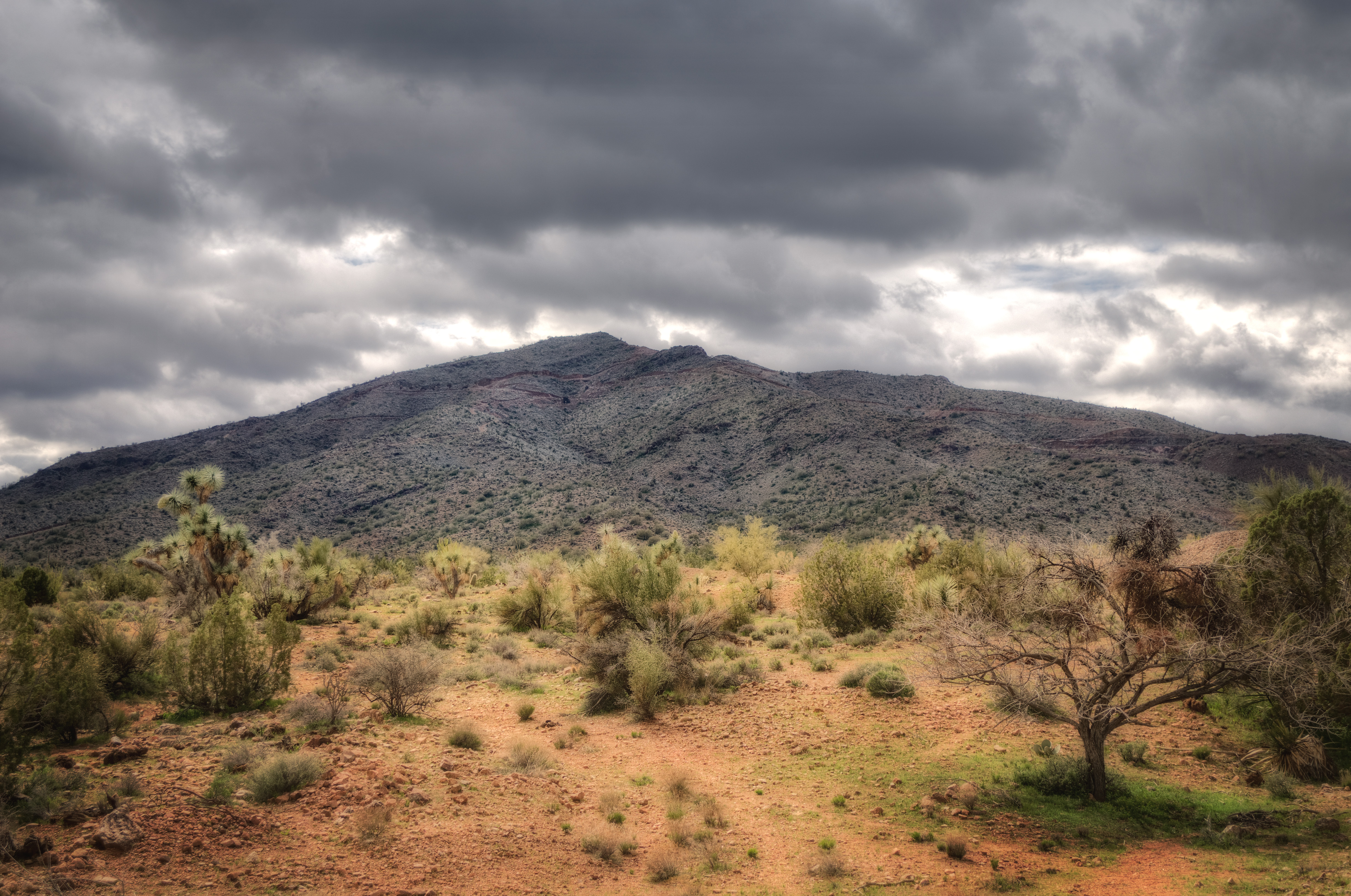
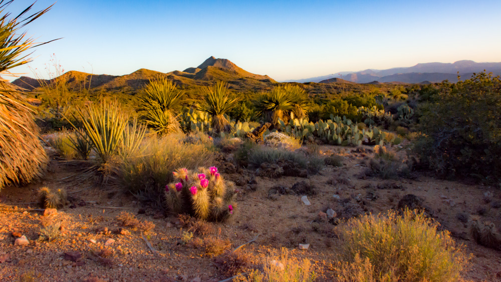
Sunrise in the Pochie Mountains
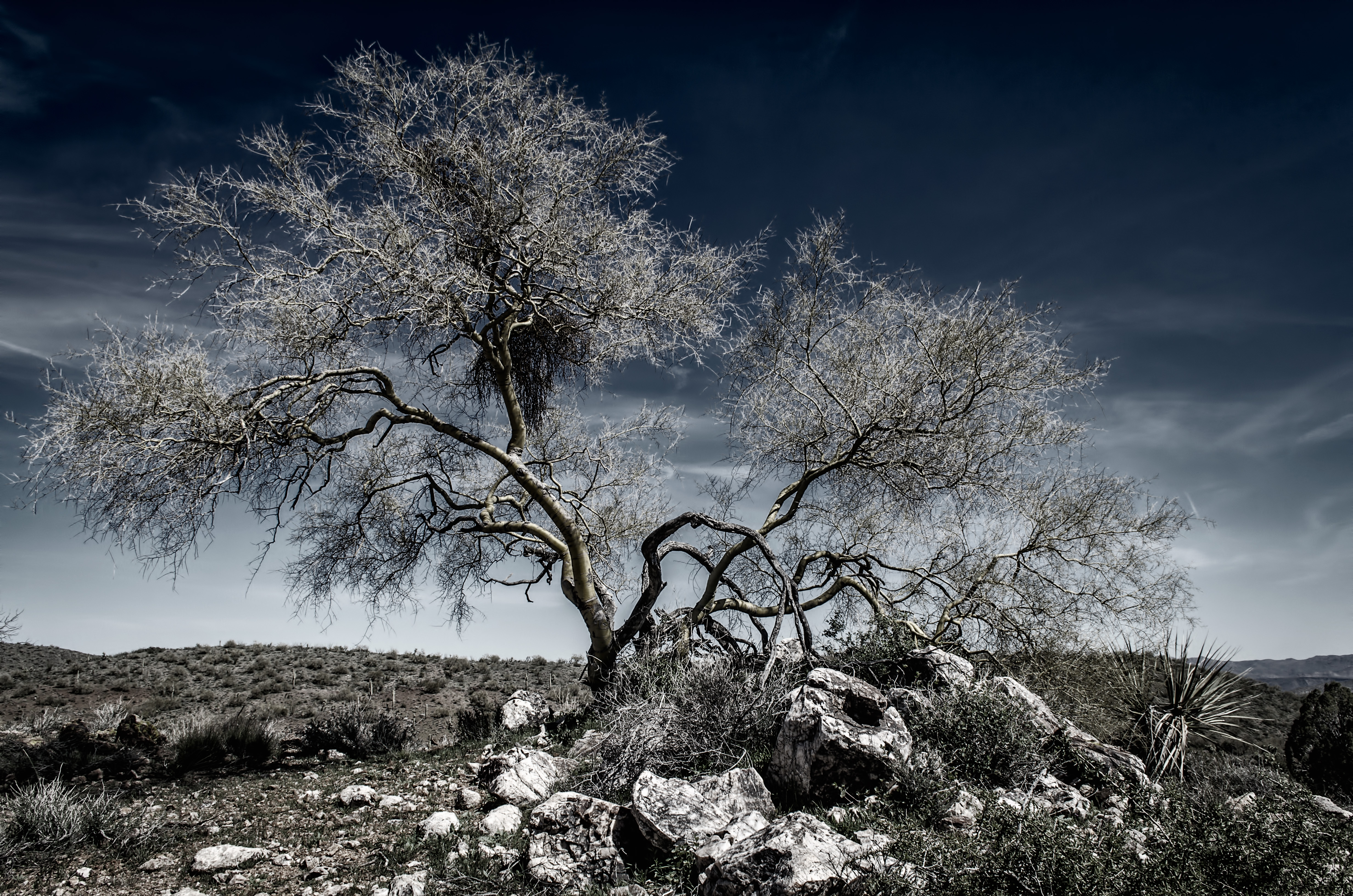
Silver Palo Verde

Burro Creek Country
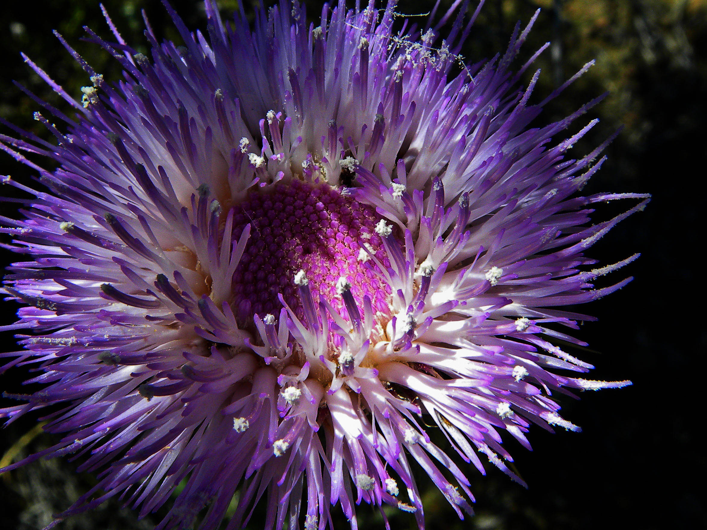
Thistle Blossom

Burro Creek Vista

Southwest Road Trip 2014-114
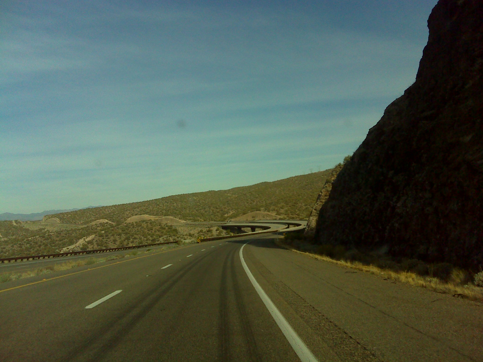
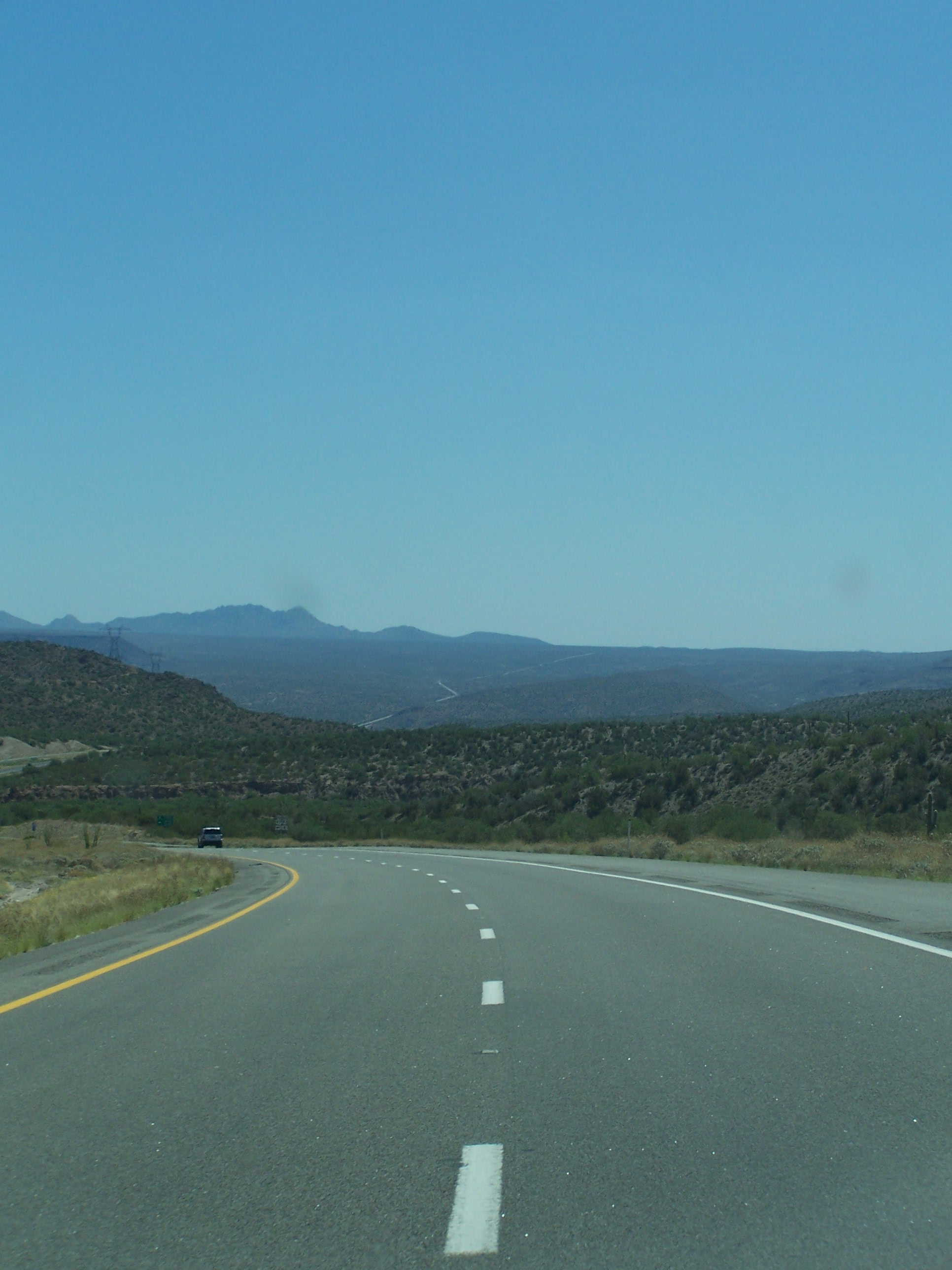
Driving from Phoenix to Las Vegas

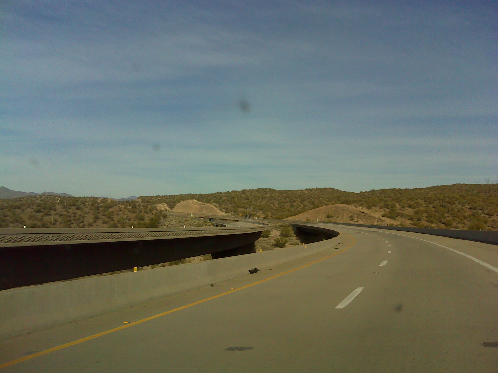
Driving from Phoenix to Las Vegas
Driving from Phoenix to Las Vegas
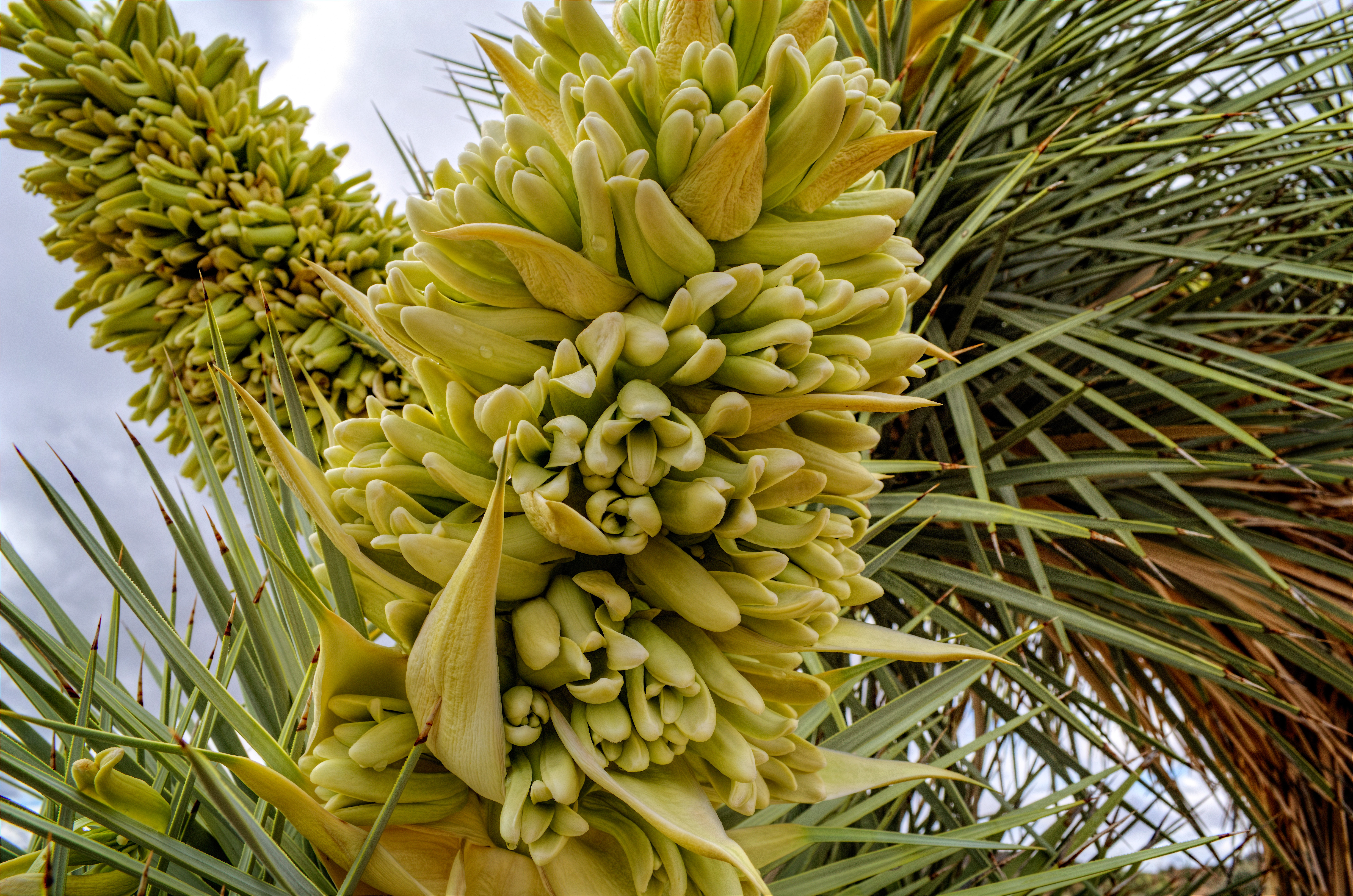
Joshua Tree Blossoms
Topographic Map of Signal Rd, Yucca, AZ, USA
Find elevation by address:

Places near Signal Rd, Yucca, AZ, USA:
Perkins Rd, Wikieup, AZ, USA
Mccracken Mine Road
Burro Creek Campground
19200 Cholla Canyon Ranch Rd
Chicken Springs Road
9200 Cholla Canyon Ranch Rd
Wikieup
Yucca, AZ, USA
7480 E Mesquite Dr
Colorado River
Six Mile Crossing
Red Barrel Drive
Big Sandy Range
11870 S Bogles Ranch Rd
Bagdad
10 Bridle View Ct, Bagdad, AZ, USA
Hualapai Mountains
6751 S A Frame Ct
Hualapai Peak
Wenden
Recent Searches:
- Elevation of Steadfast Ct, Daphne, AL, USA
- Elevation of Lagasgasan, X+CQH, Tiaong, Quezon, Philippines
- Elevation of Rojo Ct, Atascadero, CA, USA
- Elevation of Flagstaff Drive, Flagstaff Dr, North Carolina, USA
- Elevation of Avery Ln, Lakeland, FL, USA
- Elevation of Woolwine, VA, USA
- Elevation of Lumagwas Diversified Farmers Multi-Purpose Cooperative, Lumagwas, Adtuyon, RV32+MH7, Pangantucan, Bukidnon, Philippines
- Elevation of Homestead Ridge, New Braunfels, TX, USA
- Elevation of Orchard Road, Orchard Rd, Marlborough, NY, USA
- Elevation of 12 Hutchinson Woods Dr, Fletcher, NC, USA