Elevation of Webb Hill Rd, McRae, AR, USA
Location: United States > Arkansas > White County > Mcrae Township > Mcrae >
Longitude: -91.886601
Latitude: 35.1746004
Elevation: 159m / 522feet
Barometric Pressure: 99KPa
Elevation Map:
Satellite Map:
Related Photos:
Meet The Flockers

Birds of a feather...

Beebe Esso I

Beebe Esso II

Bull Creek Relief (East)-Deck View

Bull Creek Relief (East)-Side View

All five kids at school. My view for the day. Can't you hear the quiet!!! 3/365

The view behind Boomers

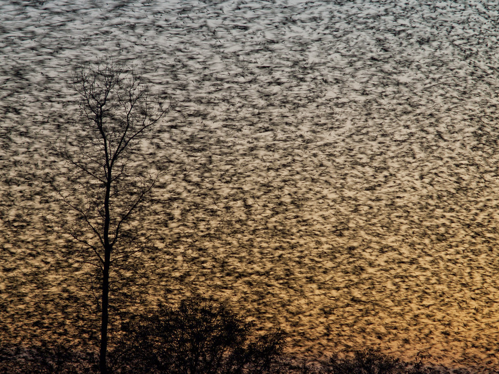
A bunch of birds over Beebe

Ferguson Mountain Road

Bull Creek Bridge Remnants

Old Feed Factory

Winter Photos

2012-12-26 at 17-56-38
Topographic Map of Webb Hill Rd, McRae, AR, USA
Find elevation by address:

Places near Webb Hill Rd, McRae, AR, USA:
Cane Township
1015 Shiloh Rd
Arkansas
279 Donald Choate Rd
White River
Crystal Creek Ct, Searcy, AR, USA
Coffey Township
121 Starlight Ln
Des Arc Township
131 Lake Barnett Rd
2227 Ar-267
Crosby Township
Crosby Church Ln, Searcy, AR, USA
Gravel Hill Township
Gum Springs Township
272 Gravel Hill Rd
2159 Holmes Rd
2159 Holmes Rd
2159 Holmes Rd
2159 Holmes Rd
Recent Searches:
- Elevation of Congressional Dr, Stevensville, MD, USA
- Elevation of Bellview Rd, McLean, VA, USA
- Elevation of Stage Island Rd, Chatham, MA, USA
- Elevation of Shibuya Scramble Crossing, 21 Udagawacho, Shibuya City, Tokyo -, Japan
- Elevation of Jadagoniai, Kaunas District Municipality, Lithuania
- Elevation of Pagonija rock, Kranto 7-oji g. 8"N, Kaunas, Lithuania
- Elevation of Co Rd 87, Jamestown, CO, USA
- Elevation of Tenjo, Cundinamarca, Colombia
- Elevation of Côte-des-Neiges, Montreal, QC H4A 3J6, Canada
- Elevation of Bobcat Dr, Helena, MT, USA