Elevation of Shiloh Rd, Beebe, AR, USA
Location: United States > Arkansas > White County > Coffey Township >
Longitude: -91.927436
Latitude: 35.2012547
Elevation: 186m / 610feet
Barometric Pressure: 99KPa
Elevation Map:
Satellite Map:
Related Photos:

Birds of a feather...

Meet The Flockers

All five kids at school. My view for the day. Can't you hear the quiet!!! 3/365
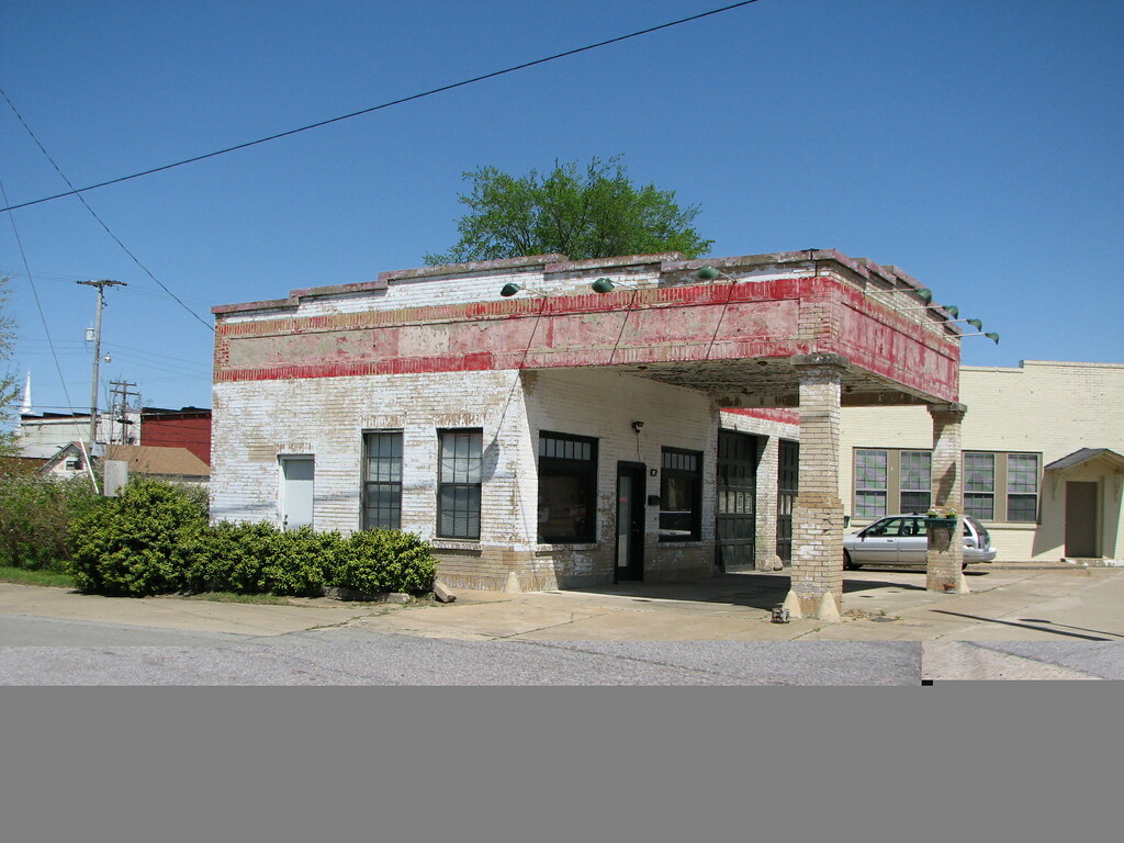
Beebe Esso II
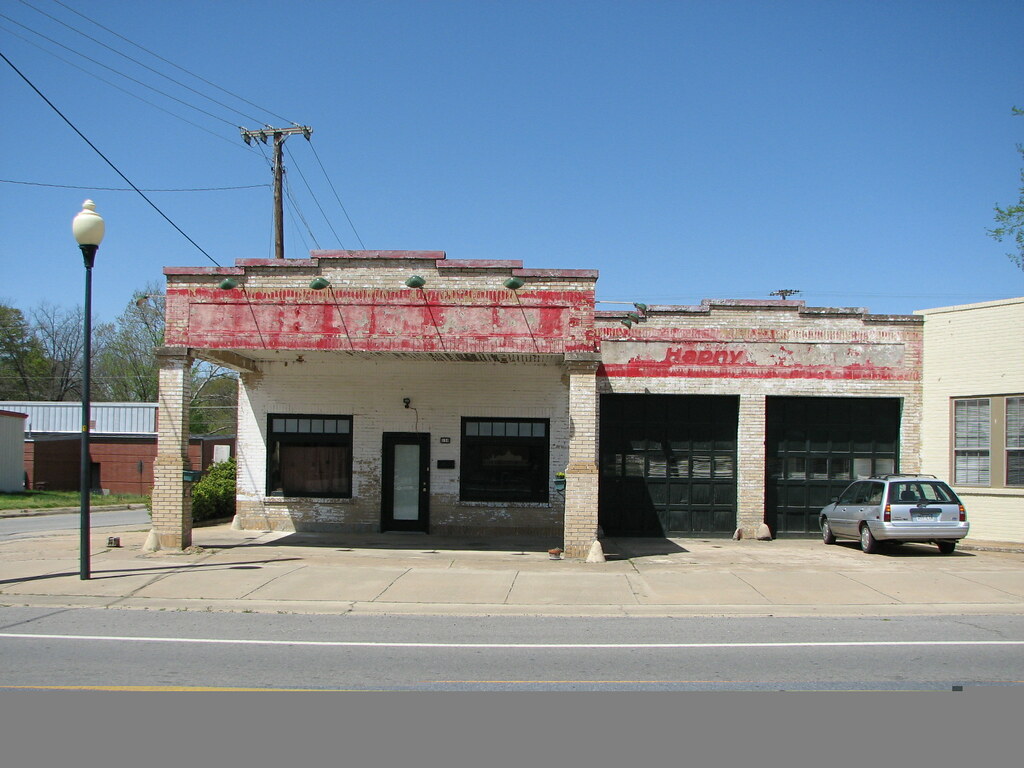
Beebe Esso I
The view behind Boomers
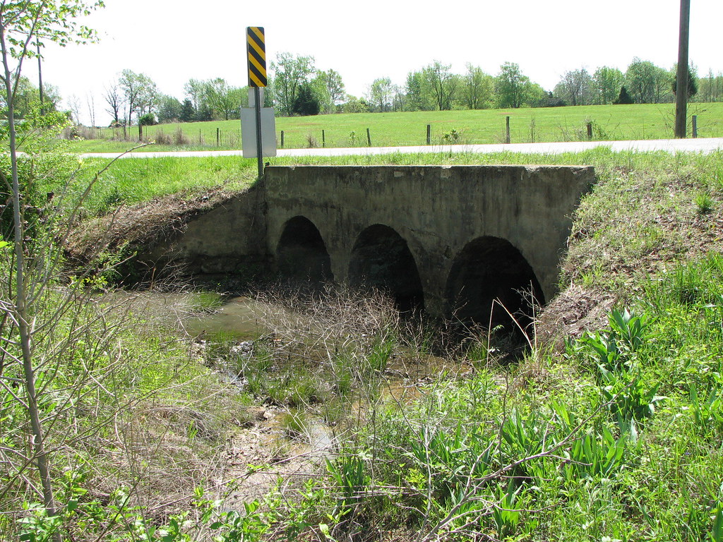
Bull Creek Relief (East)-Side View
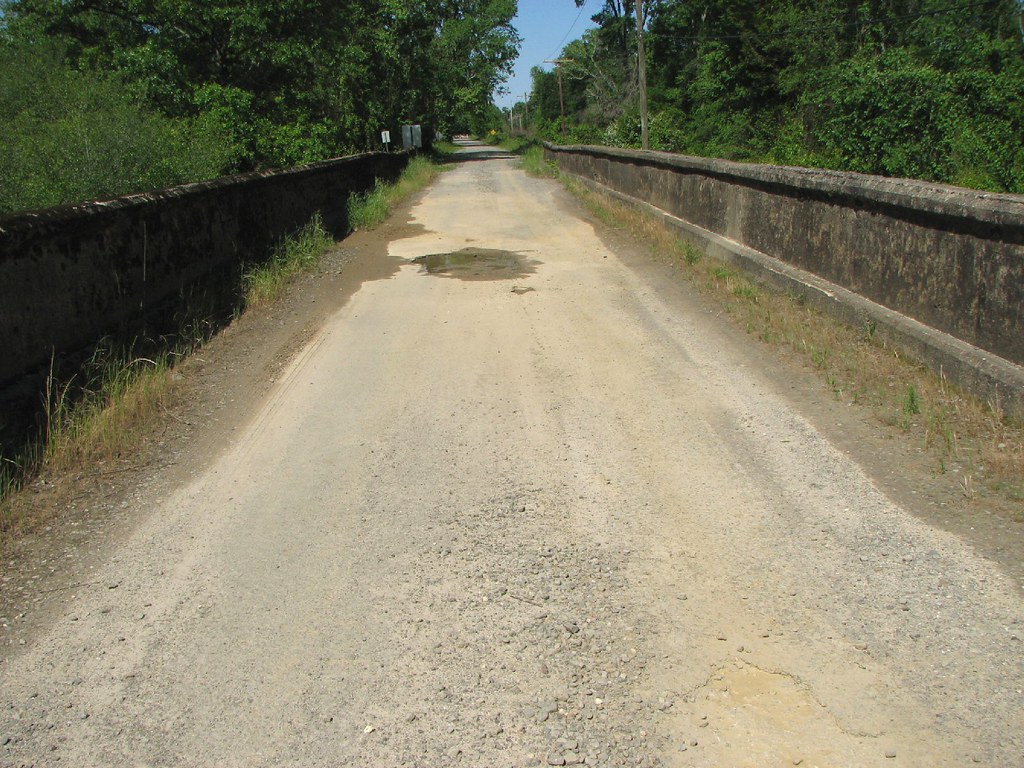
Bull Creek Relief (East)-Deck View
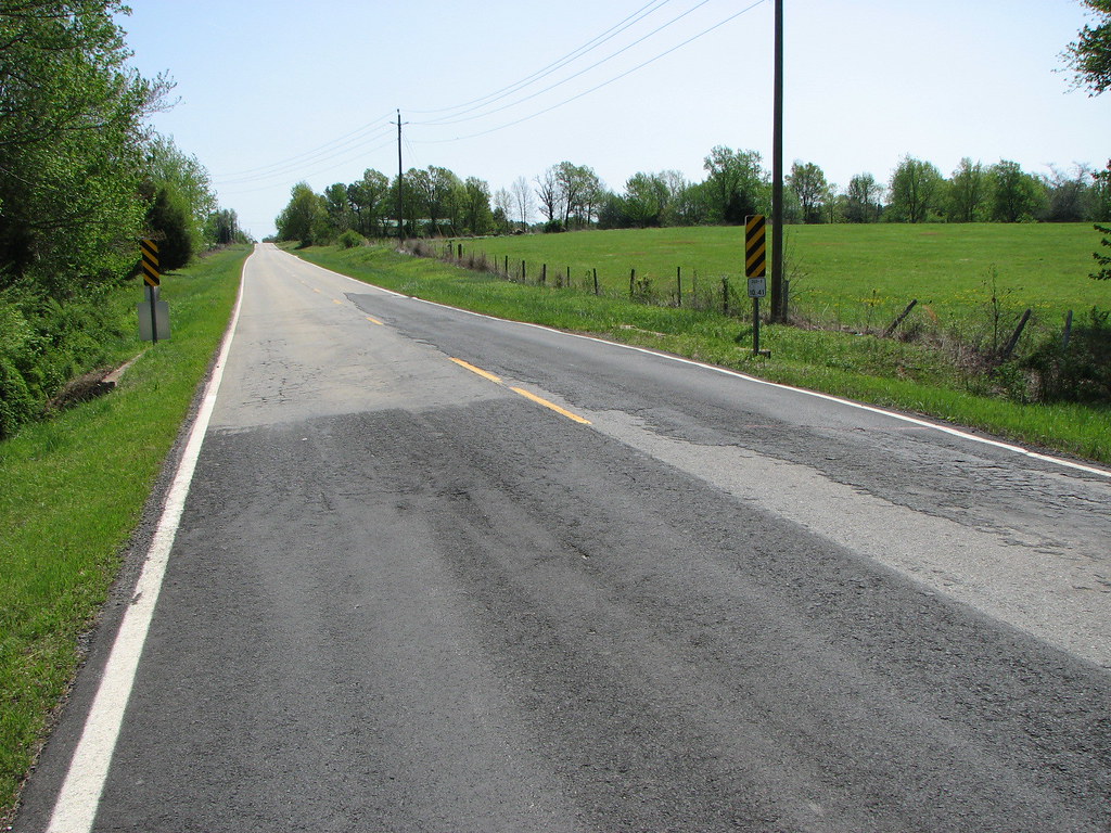
Hog Foot Creek-Top View
Hog Foot Creek-Side View

Foggy morning

❤️

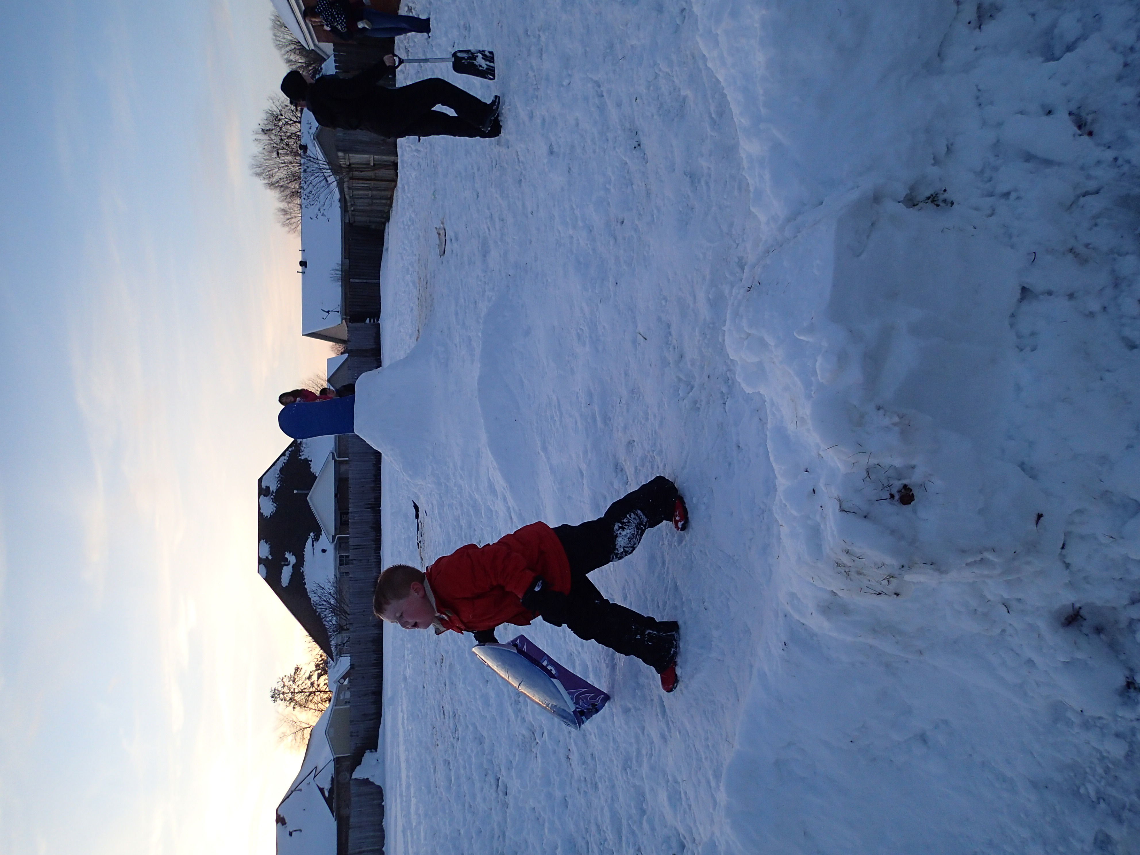
Winter Photos
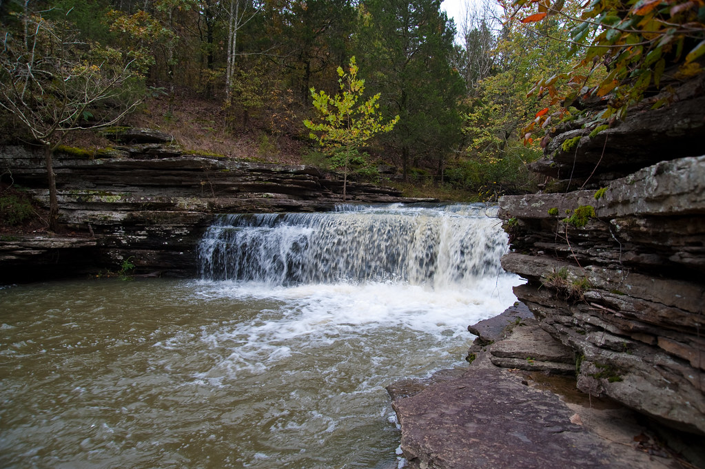
Romance Waterfalls

A bunch of birds over Beebe

Ferguson Mountain Road
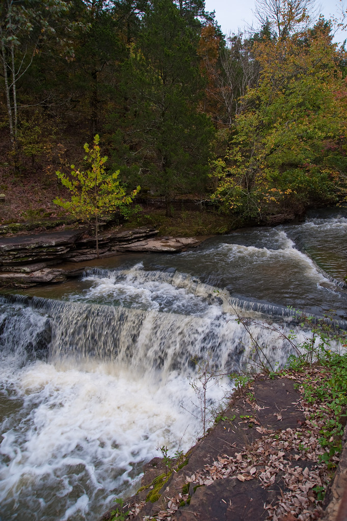
Top of Romance Waterfalls
2012-12-26 at 17-56-38

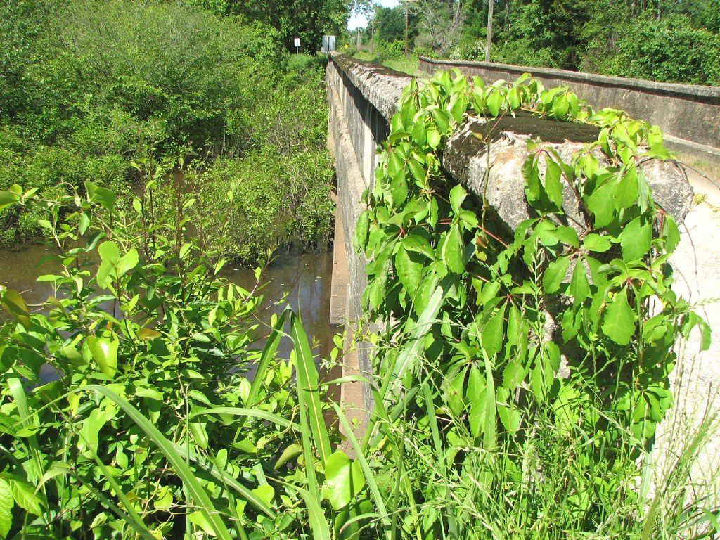
Bull Creek Bridge Remnants
Topographic Map of Shiloh Rd, Beebe, AR, USA
Find elevation by address:

Places near Shiloh Rd, Beebe, AR, USA:
279 Donald Choate Rd
Coffey Township
501 Webb Hill Rd
121 Starlight Ln
131 Lake Barnett Rd
Crystal Creek Ct, Searcy, AR, USA
Gravel Hill Township
Cane Township
Des Arc Township
Arkansas
272 Gravel Hill Rd
White River
Crosby Township
Crosby Church Ln, Searcy, AR, USA
Romance
2227 Ar-267
Kentucky Township
2159 Holmes Rd
2159 Holmes Rd
2159 Holmes Rd
Recent Searches:
- Elevation of Jalan Senandin, Lutong, Miri, Sarawak, Malaysia
- Elevation of Bilohirs'k
- Elevation of 30 Oak Lawn Dr, Barkhamsted, CT, USA
- Elevation of Luther Road, Luther Rd, Auburn, CA, USA
- Elevation of Unnamed Road, Respublika Severnaya Osetiya — Alaniya, Russia
- Elevation of Verkhny Fiagdon, North Ossetia–Alania Republic, Russia
- Elevation of F. Viola Hiway, San Rafael, Bulacan, Philippines
- Elevation of Herbage Dr, Gulfport, MS, USA
- Elevation of Lilac Cir, Haldimand, ON N3W 2G9, Canada
- Elevation of Harrod Branch Road, Harrod Branch Rd, Kentucky, USA