Elevation of Donald Choate Rd, Beebe, AR, USA
Location: United States > Arkansas > White County > Coffey Township >
Longitude: -91.952509
Latitude: 35.1856908
Elevation: 141m / 463feet
Barometric Pressure: 100KPa
Elevation Map:
Satellite Map:
Related Photos:

Meet The Flockers
Birds of a feather...

All five kids at school. My view for the day. Can't you hear the quiet!!! 3/365
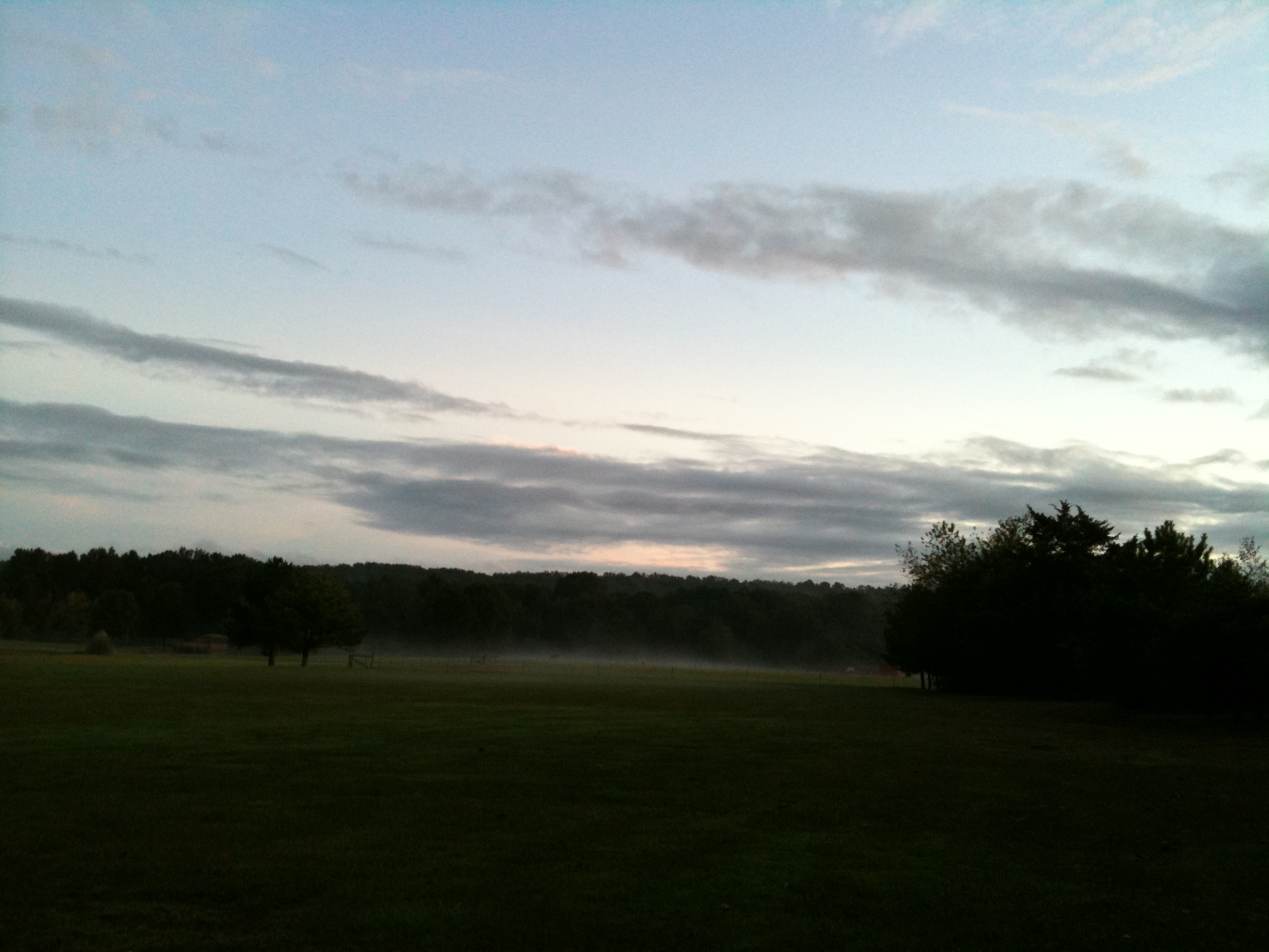
The view behind Boomers
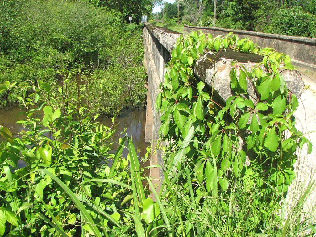
Bull Creek Relief (East)-Side View
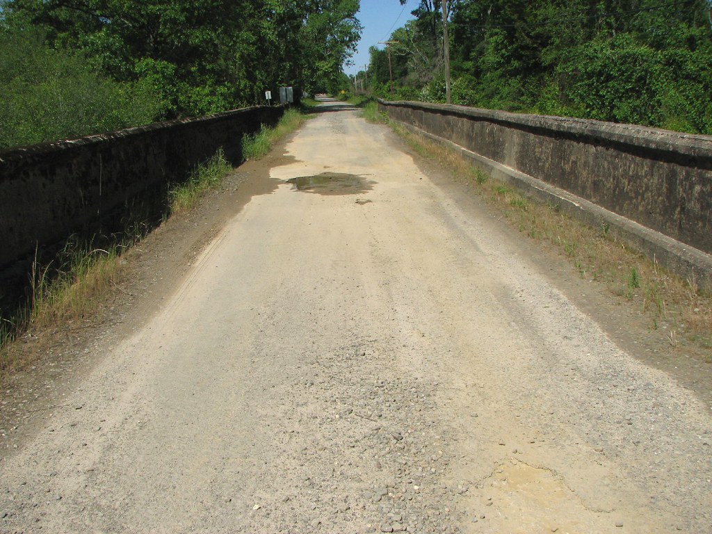
Bull Creek Relief (East)-Deck View
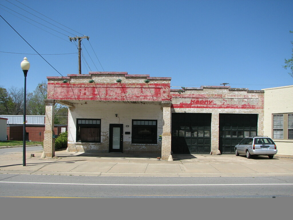
Beebe Esso I
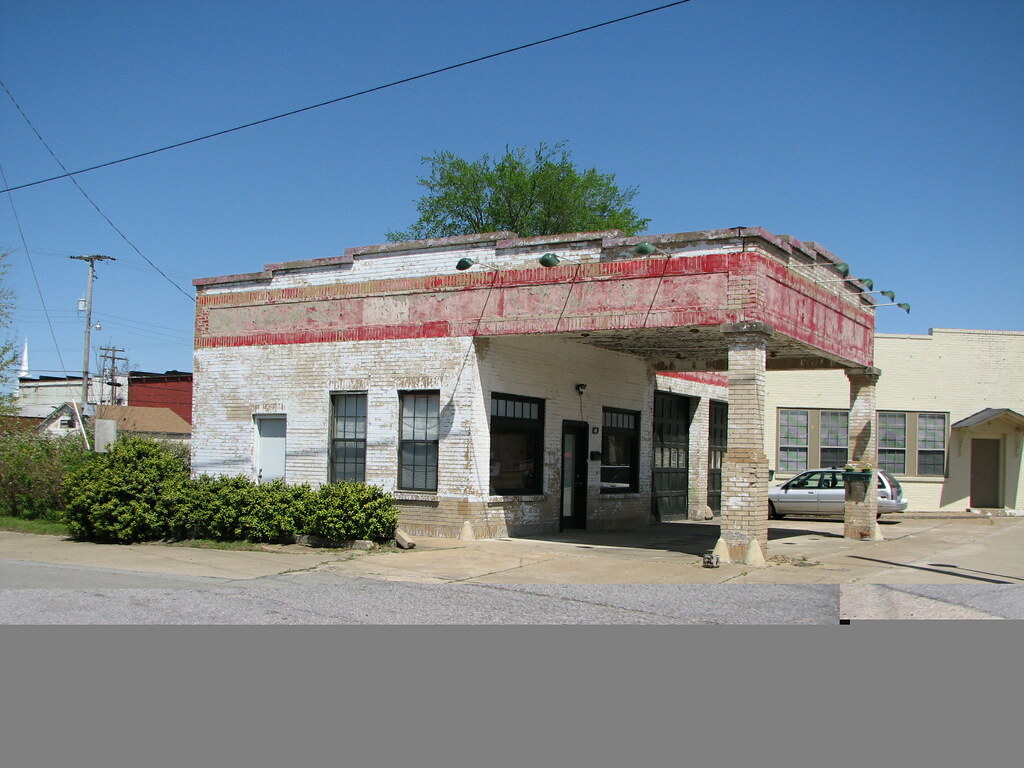
Beebe Esso II
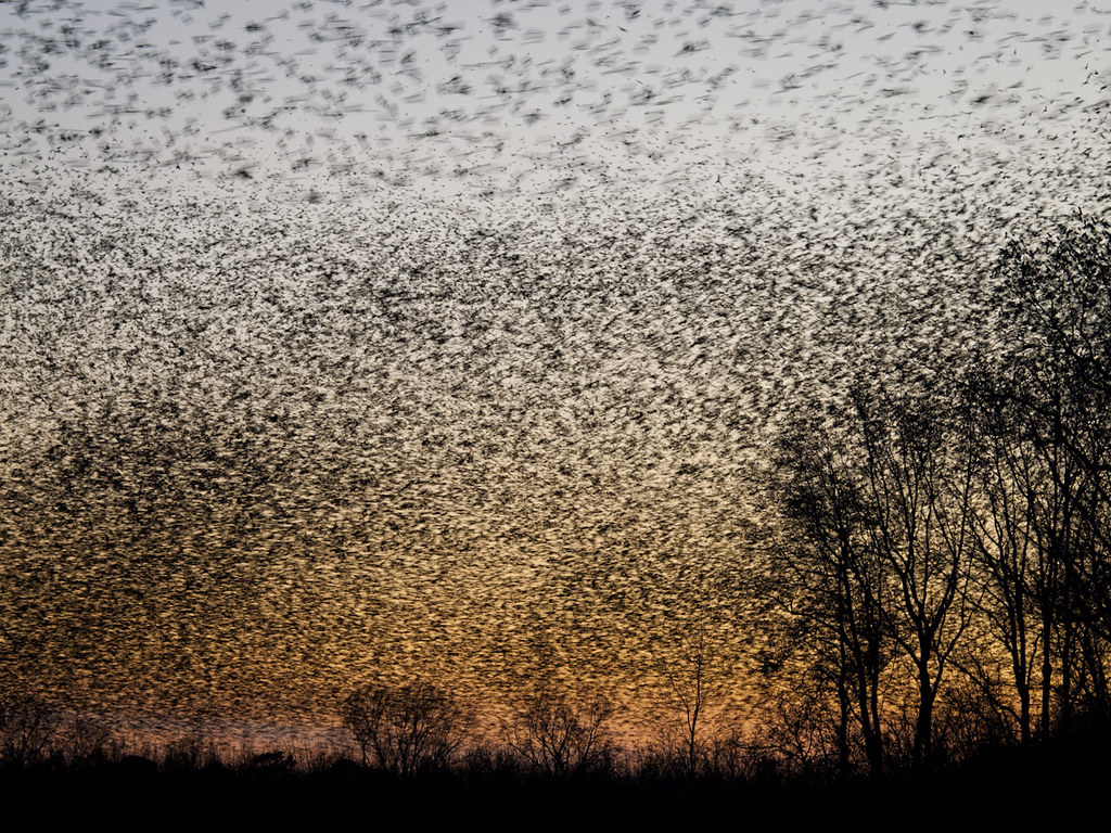
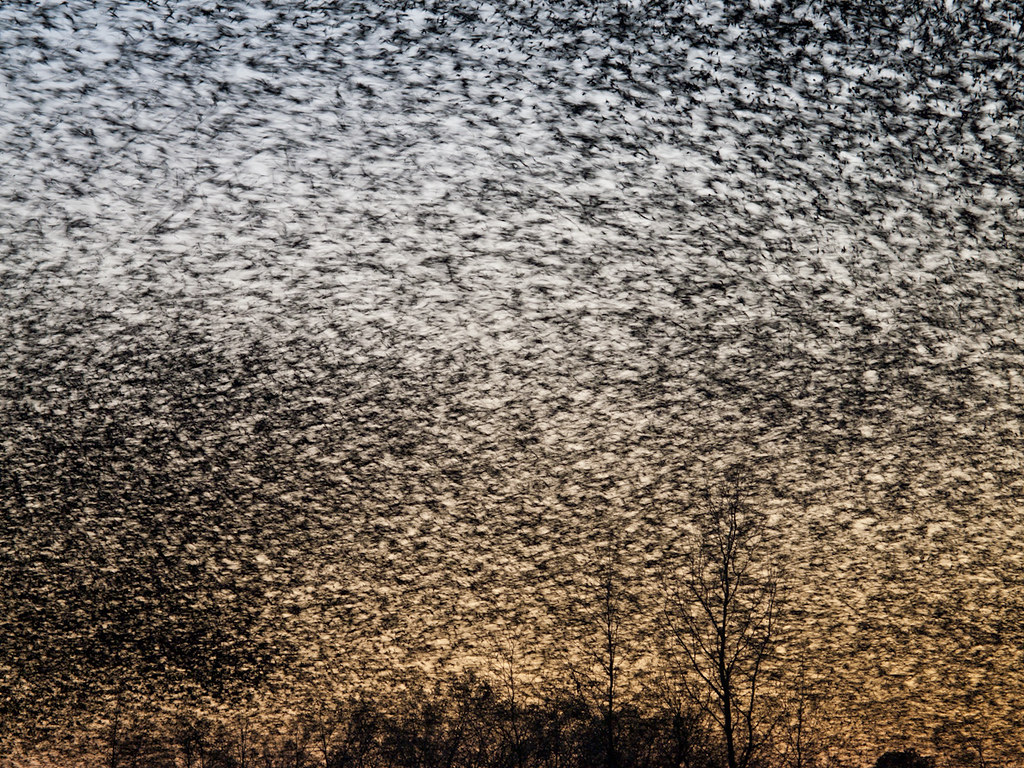
A bunch of birds over Beebe

Bull Creek Bridge Remnants

Winter Photos
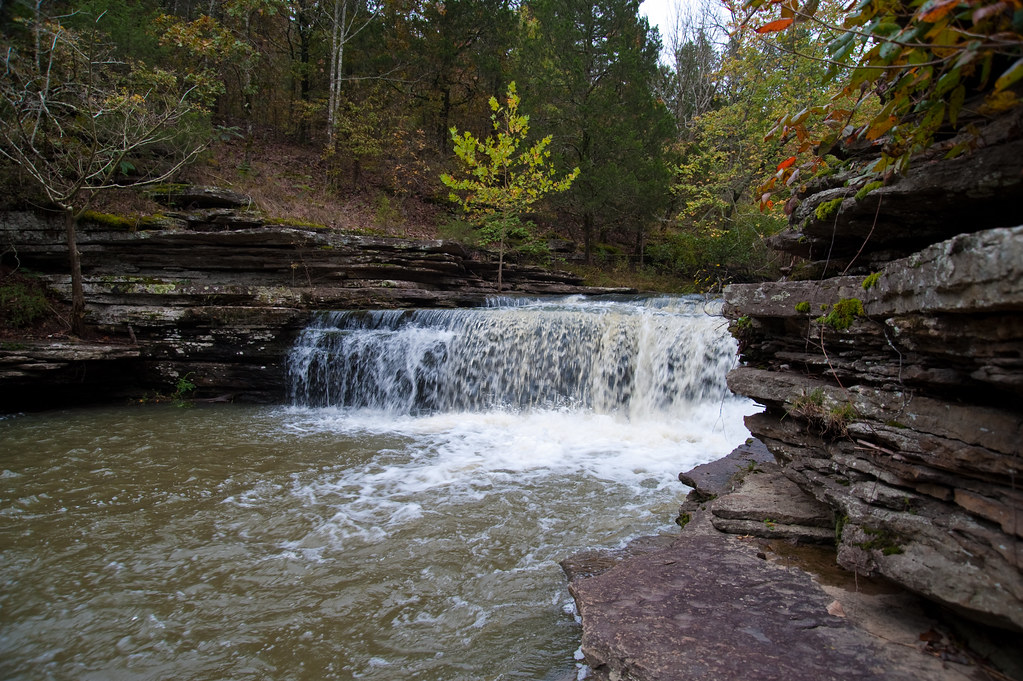
Romance Waterfalls
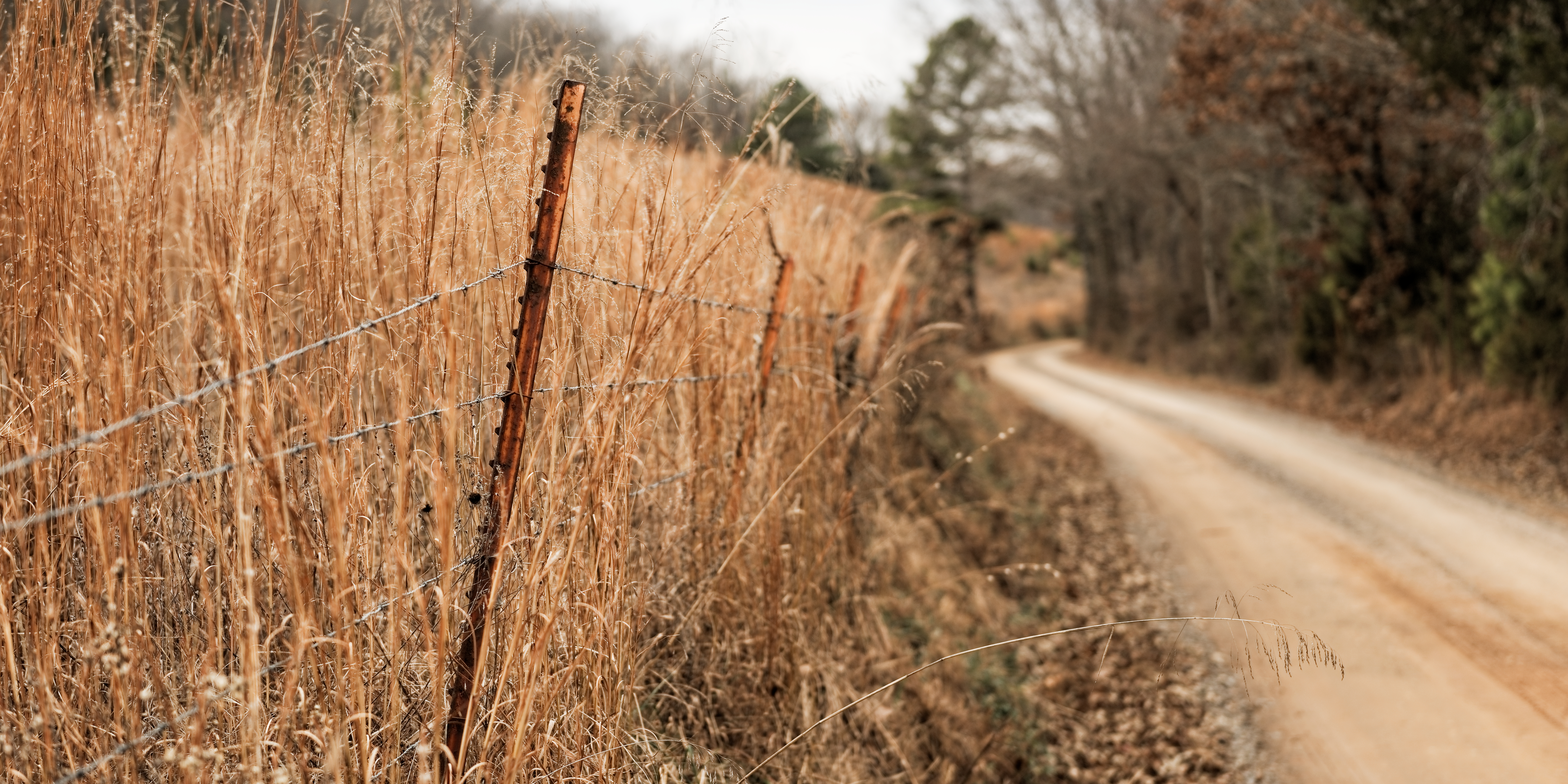
Ferguson Mountain Road
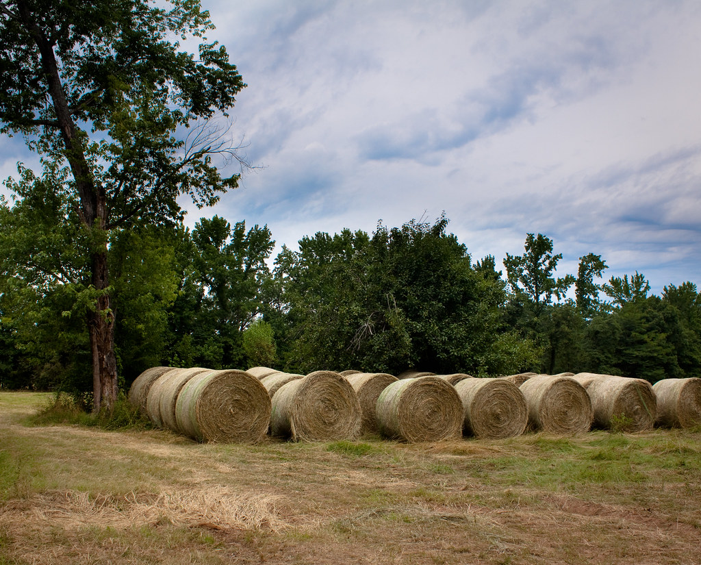
waves of hay
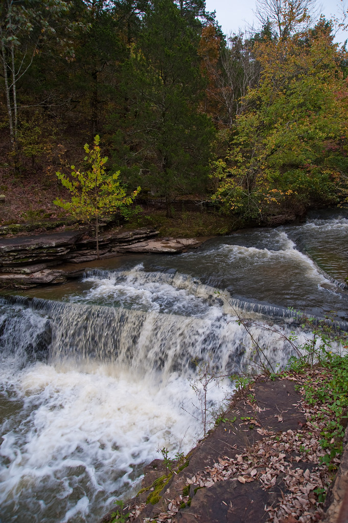
Top of Romance Waterfalls
Topographic Map of Donald Choate Rd, Beebe, AR, USA
Find elevation by address:

Places near Donald Choate Rd, Beebe, AR, USA:
Coffey Township
1015 Shiloh Rd
121 Starlight Ln
131 Lake Barnett Rd
501 Webb Hill Rd
Gravel Hill Township
Crystal Creek Ct, Searcy, AR, USA
Cane Township
Des Arc Township
272 Gravel Hill Rd
Romance
Arkansas
White River
Crosby Township
Crosby Church Ln, Searcy, AR, USA
Kentucky Township
2227 Ar-267
113 Pine Ridge Rd
2159 Holmes Rd
2159 Holmes Rd
Recent Searches:
- Elevation of Corso Fratelli Cairoli, 35, Macerata MC, Italy
- Elevation of Tallevast Rd, Sarasota, FL, USA
- Elevation of 4th St E, Sonoma, CA, USA
- Elevation of Black Hollow Rd, Pennsdale, PA, USA
- Elevation of Oakland Ave, Williamsport, PA, USA
- Elevation of Pedrógão Grande, Portugal
- Elevation of Klee Dr, Martinsburg, WV, USA
- Elevation of Via Roma, Pieranica CR, Italy
- Elevation of Tavkvetili Mountain, Georgia
- Elevation of Hartfords Bluff Cir, Mt Pleasant, SC, USA