Elevation of Weatherwood Dr, Big Island, VA, USA
Location: United States > Virginia > Bedford County > Peaks > Big Island >
Longitude: -79.432038
Latitude: 37.5501632
Elevation: 399m / 1309feet
Barometric Pressure: 97KPa
Elevation Map:
Satellite Map:
Related Photos:
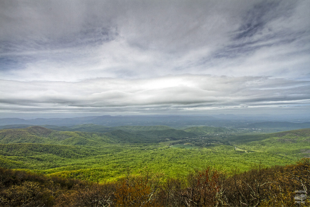
Viewing West over Arnold Valley #5
James River - Blue Ridge Parkway (Virginia)
Fullers Rocks (Little Rocky Row)
Apple Orchard Falls
Classic Arcadia
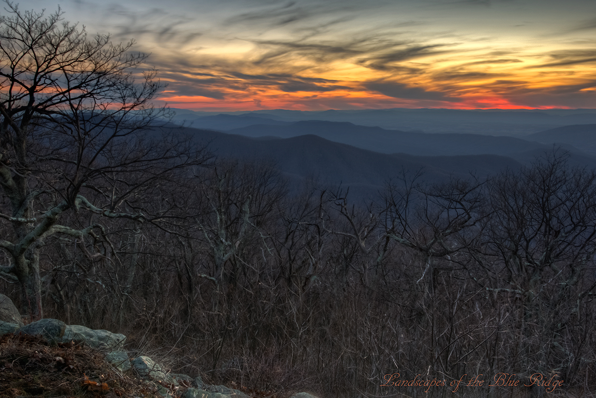
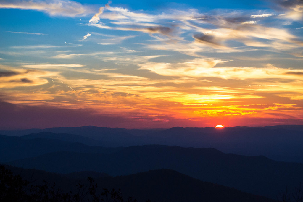
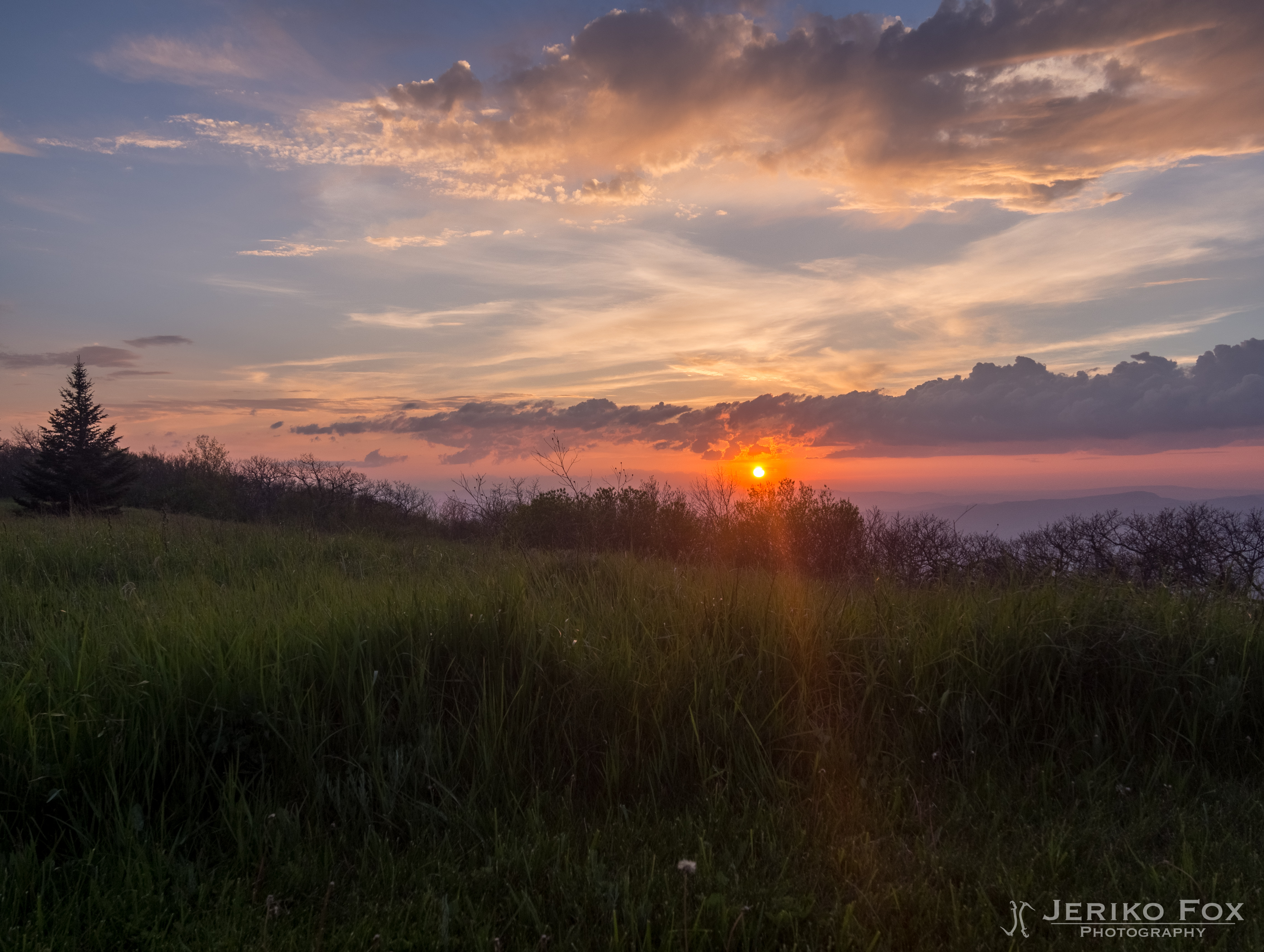
Thunder Ridge Sunset
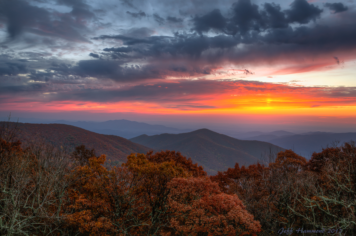
Apple Orchard Mountain Sunrise

Confluence of the James and the Maury
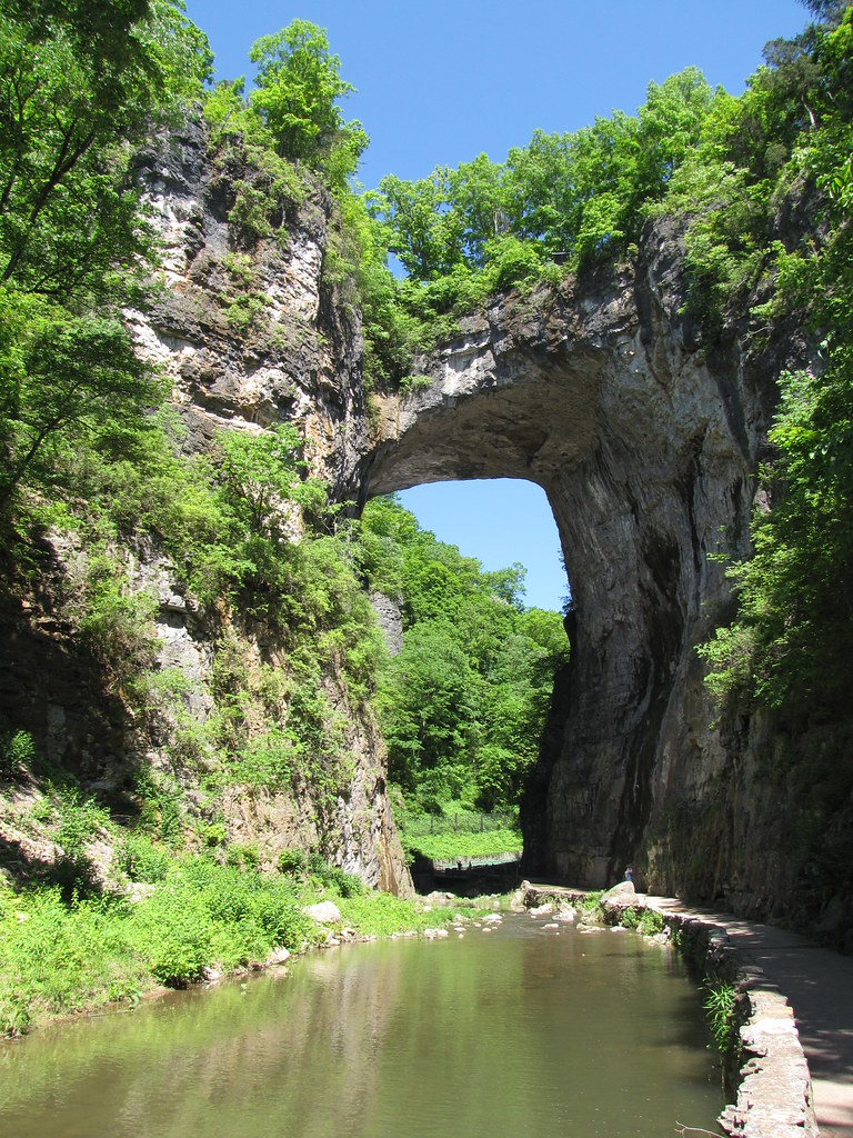
Natural Bridge

Blue Night
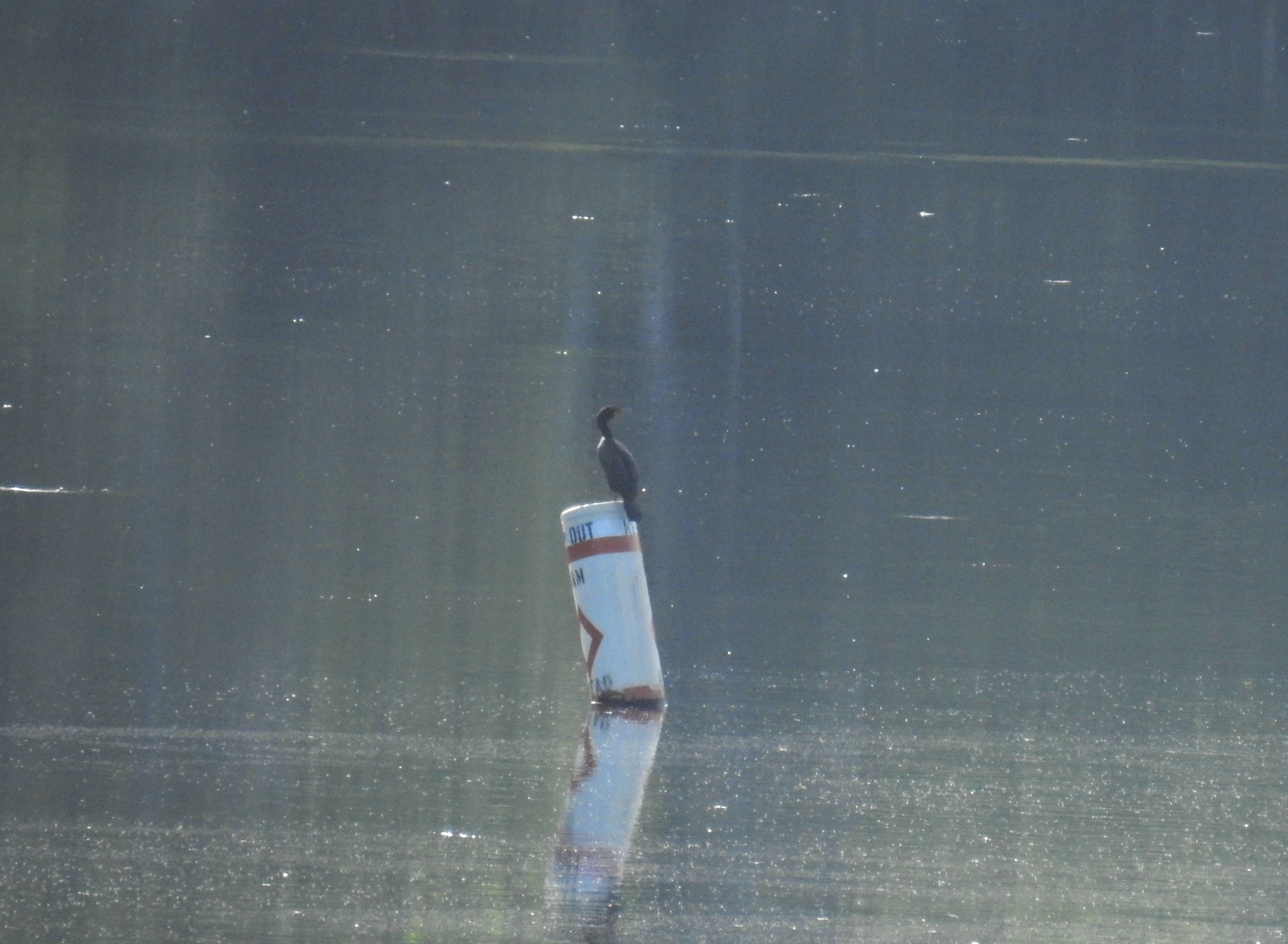
Double Crested Cormorant documentation (Mountains-Valleys regional rarity)
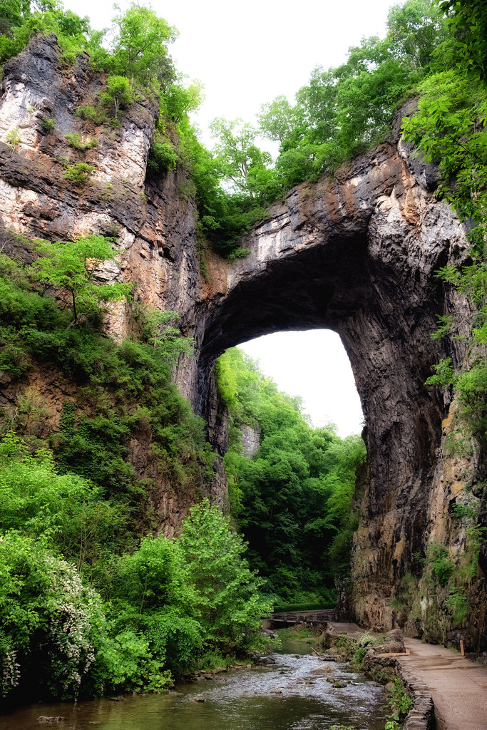
The Natural Bridge of Virginia
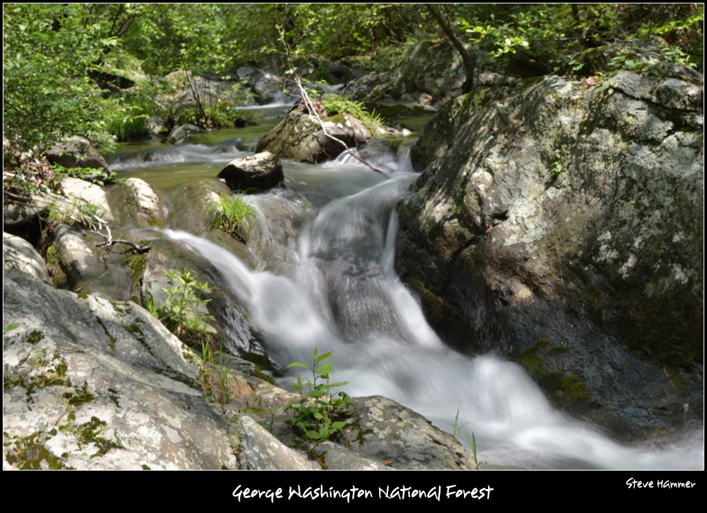
Rocky Row Run
View from the Parkway 8561
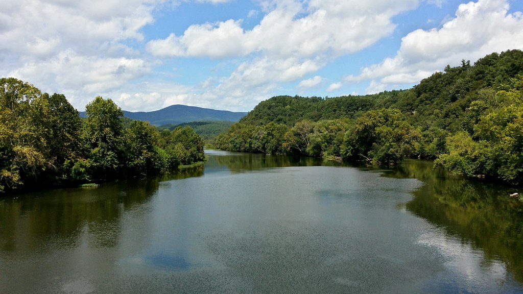
View up the James
view from James River Foot Bridge, Snowden

View from Fallingwater Cascades Trail
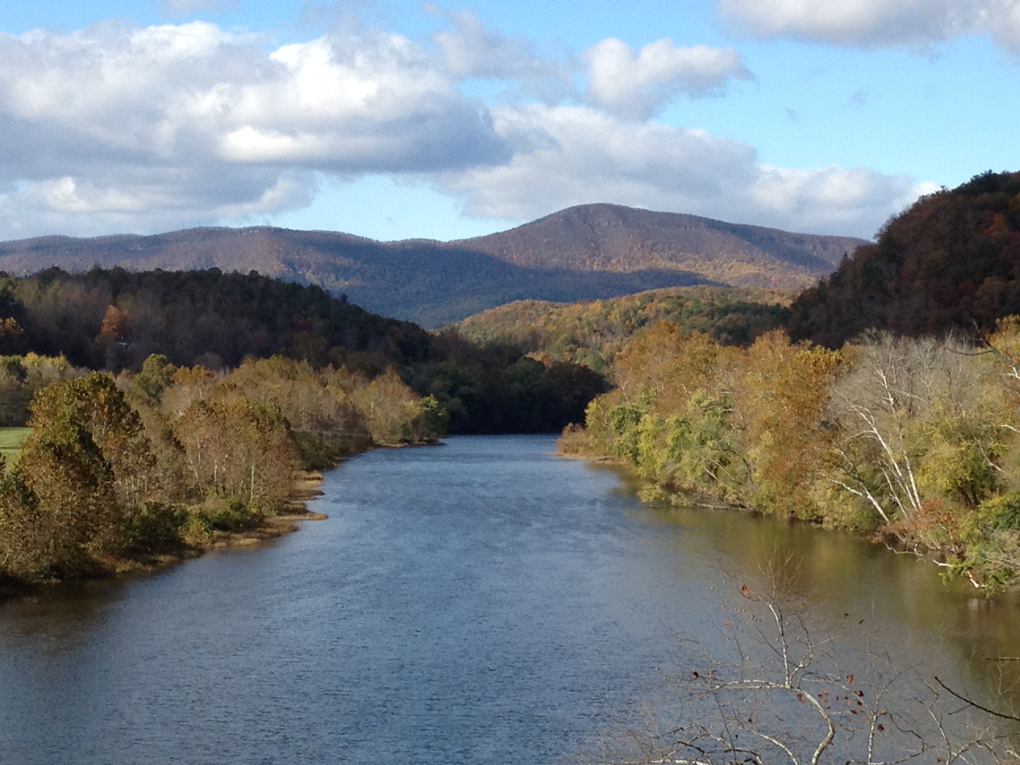
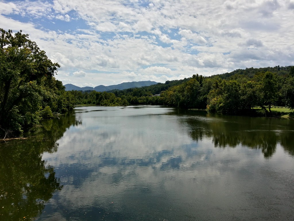
James River
Apple Orchard Mountain Summit View

Natural Bridge, virginia
James River
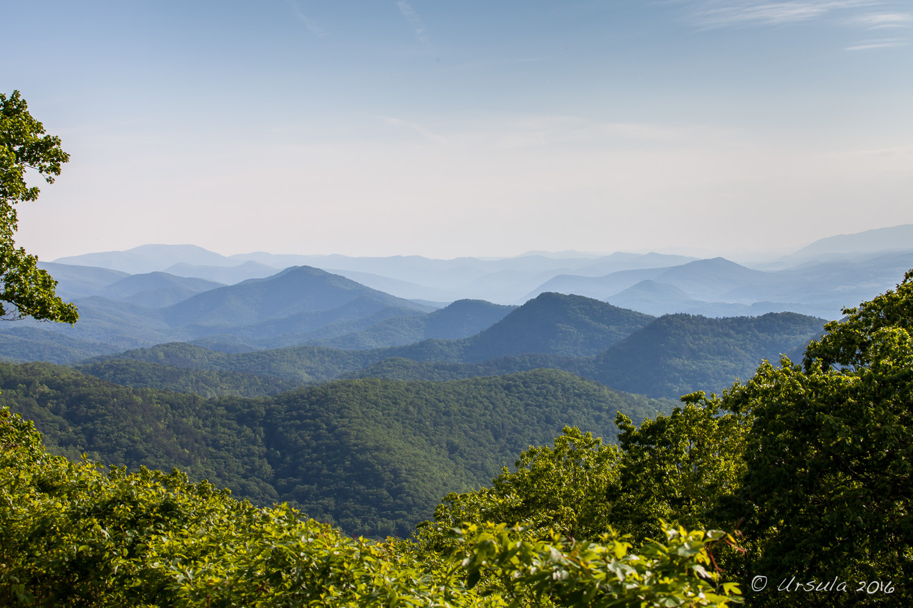
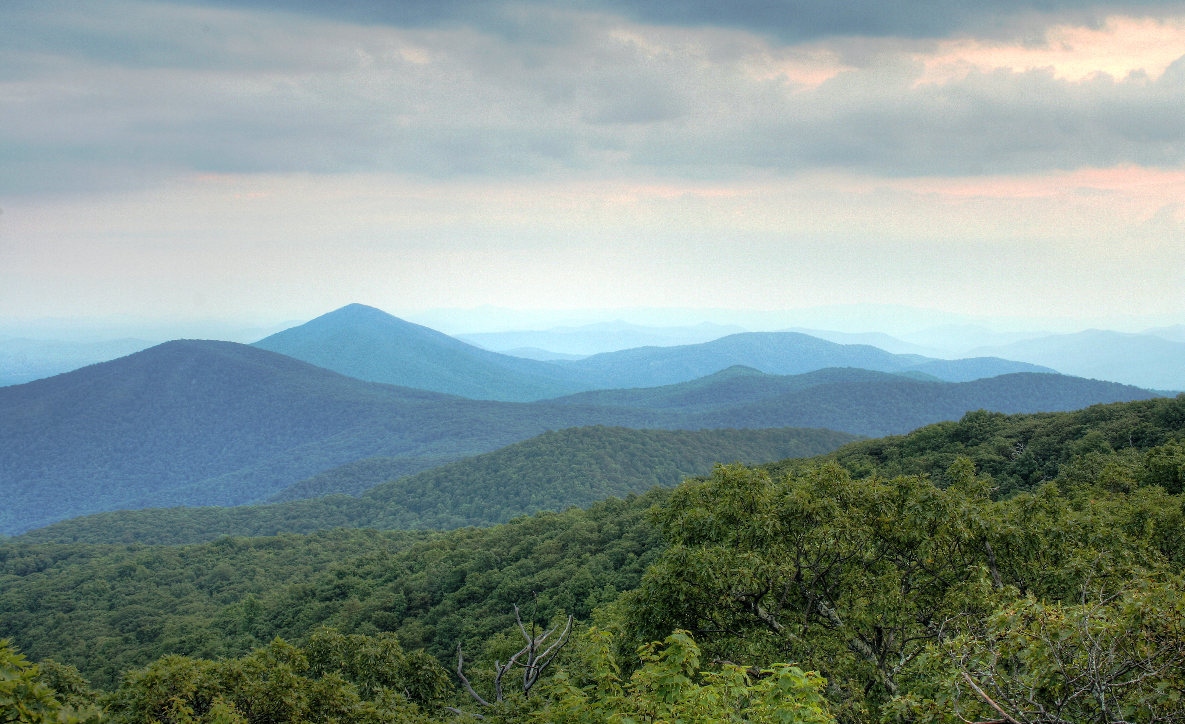
The Blue Ridge Mountains
Hills Along the James River

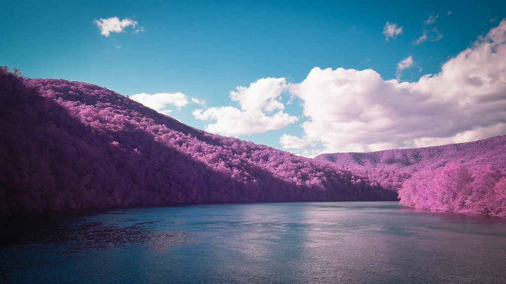
Lace Falls IR
[Un]natural Bridge
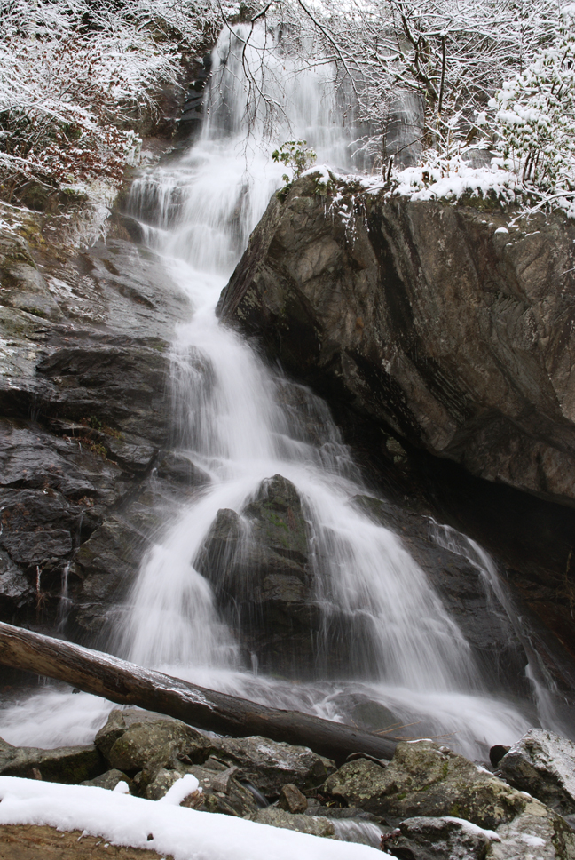
Apple Orchard Falls

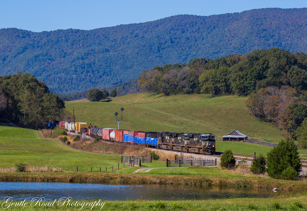
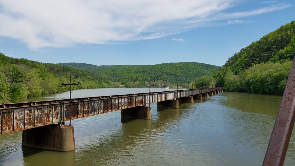
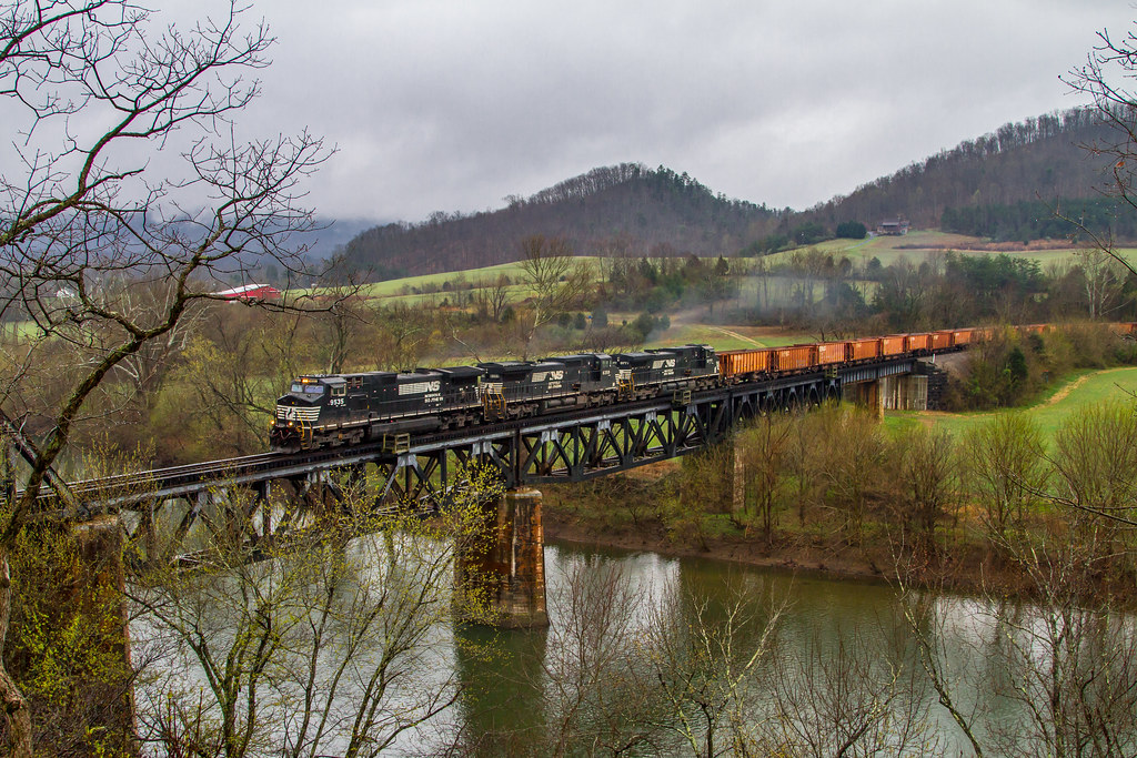
T102 at Balcony Falls

Foggy Morning in the Woods
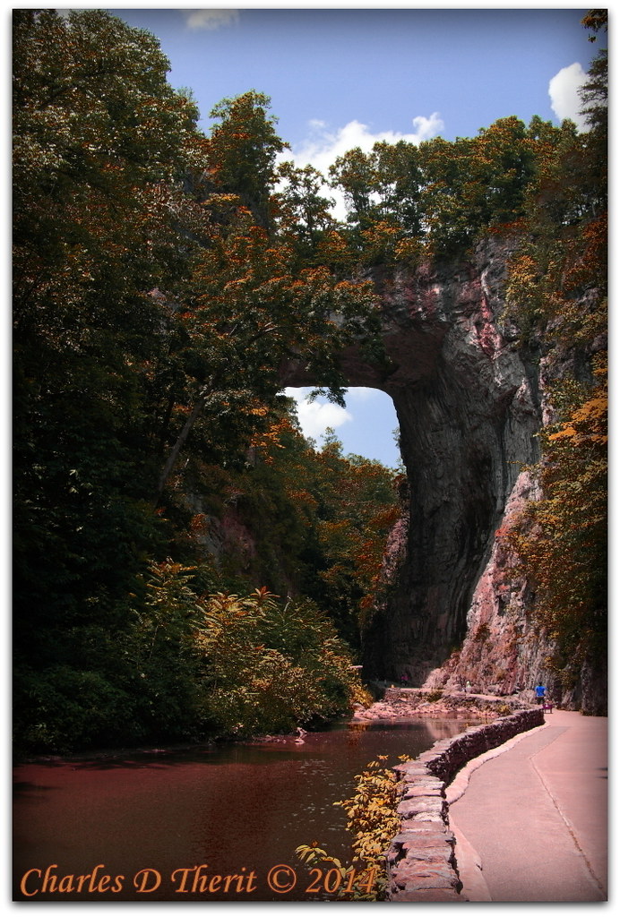
Virginia's Natural Bridge

JFRM-2017-05-8308.jpg
Falling Spring

Natural Bridge State Park, VA
Thunder Ridge RGB

Thunder Ridge Overlook
JFRM-2017-05-8257-HDR.jpg
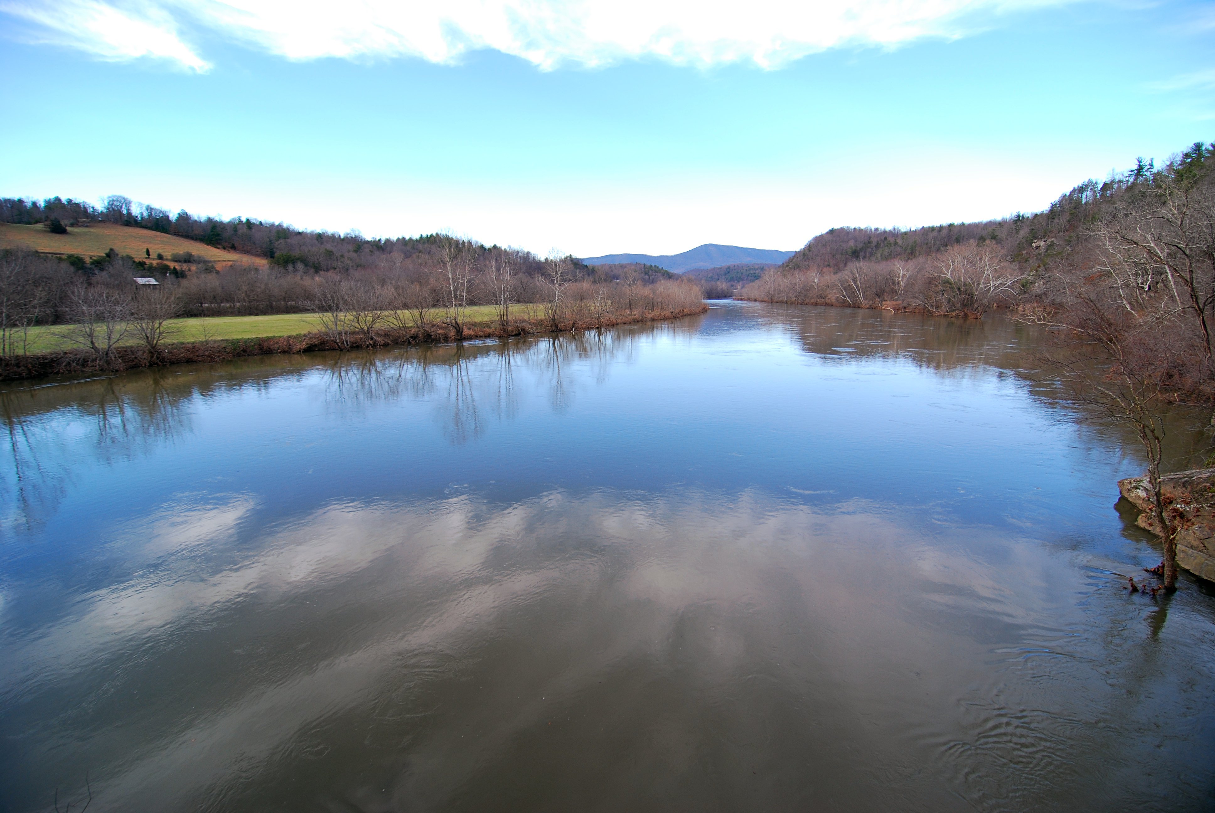
James River
Topographic Map of Weatherwood Dr, Big Island, VA, USA
Find elevation by address:

Places near Weatherwood Dr, Big Island, VA, USA:
Hunting Creek Road
1111 Ivory Grove Rd
1229 Ivory Grove Rd
1229 Ivory Grove Rd
1114 Churchill Rd
12271 Big Island Hwy
2032 Tolley Meadow Rd
17243 Big Island Hwy
Big Island Hwy, Big Island, VA, USA
Big Island
6252 Elon Rd
Waughs Ferry Crossing
Lonewolf Trail
Blue Ridge Lane
Elon Rd, Monroe, VA, USA
3774 Elon Rd
285 Meadow Hollow Loop
1320 Abert Rd
Huntingwood Apartments
110 Dancing Creek Rd
Recent Searches:
- Elevation of Congressional Dr, Stevensville, MD, USA
- Elevation of Bellview Rd, McLean, VA, USA
- Elevation of Stage Island Rd, Chatham, MA, USA
- Elevation of Shibuya Scramble Crossing, 21 Udagawacho, Shibuya City, Tokyo -, Japan
- Elevation of Jadagoniai, Kaunas District Municipality, Lithuania
- Elevation of Pagonija rock, Kranto 7-oji g. 8"N, Kaunas, Lithuania
- Elevation of Co Rd 87, Jamestown, CO, USA
- Elevation of Tenjo, Cundinamarca, Colombia
- Elevation of Côte-des-Neiges, Montreal, QC H4A 3J6, Canada
- Elevation of Bobcat Dr, Helena, MT, USA