Elevation of Meadow Hollow Loop, Monroe, VA, USA
Location: United States > Virginia > Amherst County > > Monroe >
Longitude: -79.241616
Latitude: 37.5826101
Elevation: 260m / 853feet
Barometric Pressure: 98KPa
Elevation Map:
Satellite Map:
Related Photos:
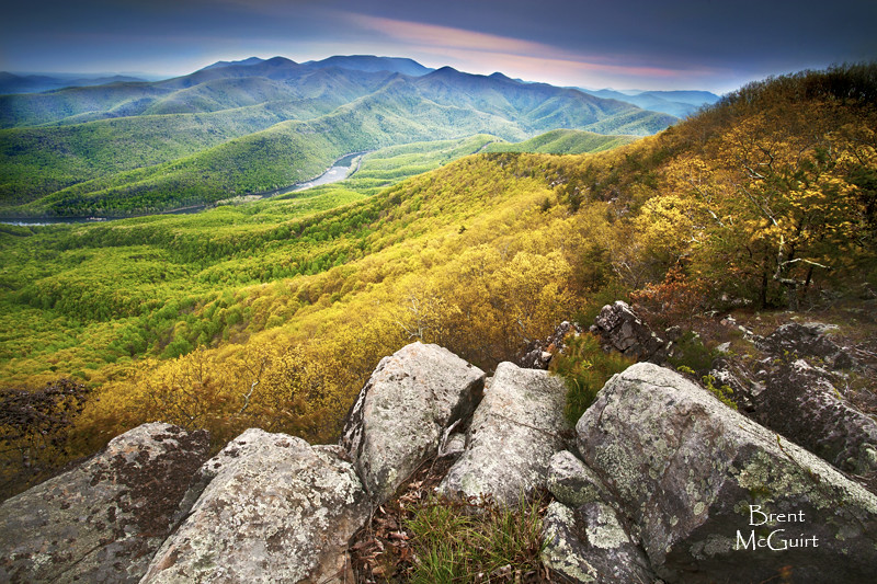
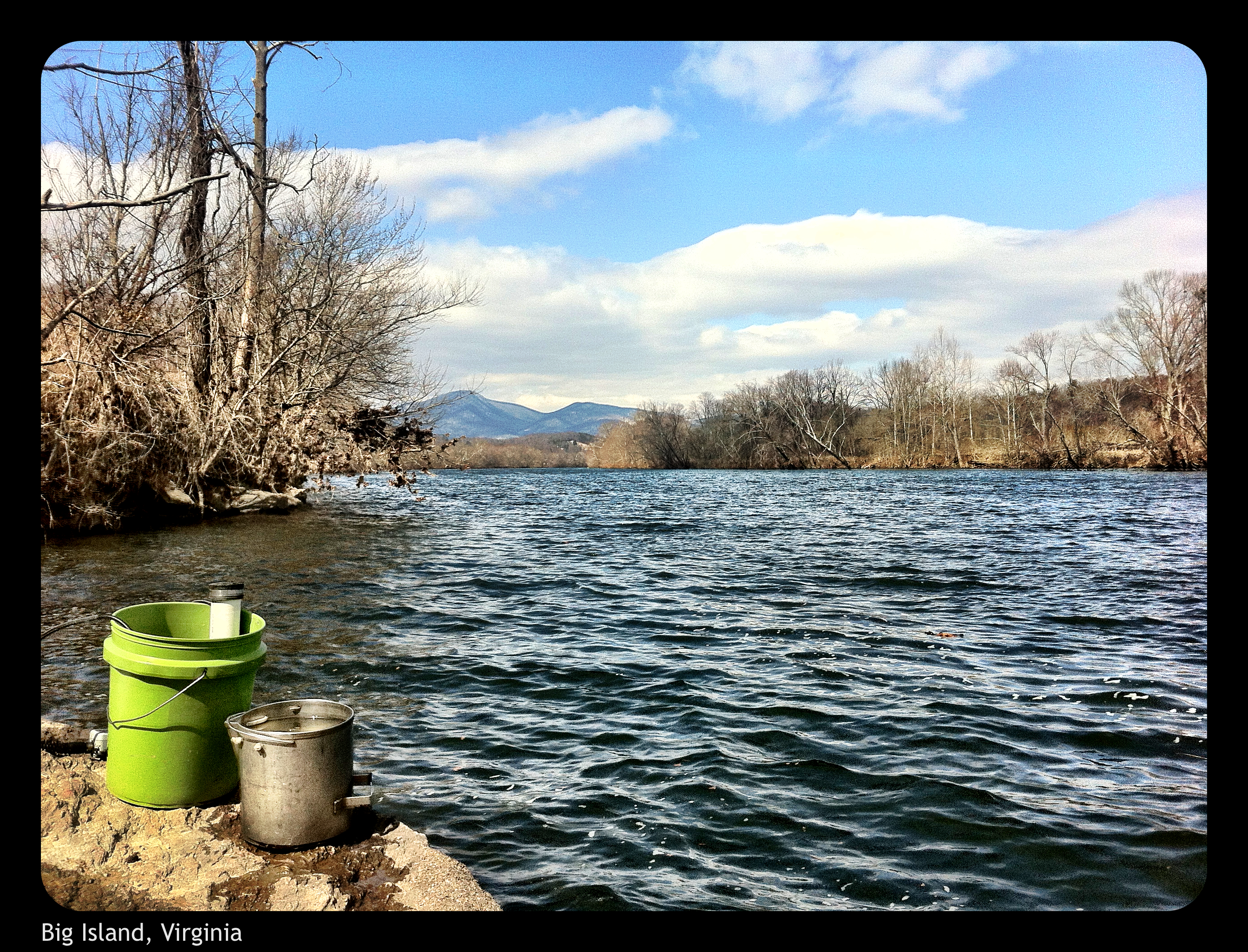
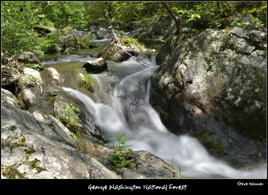
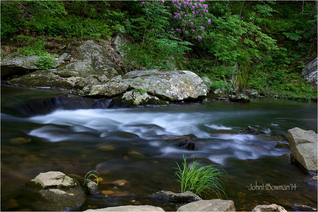
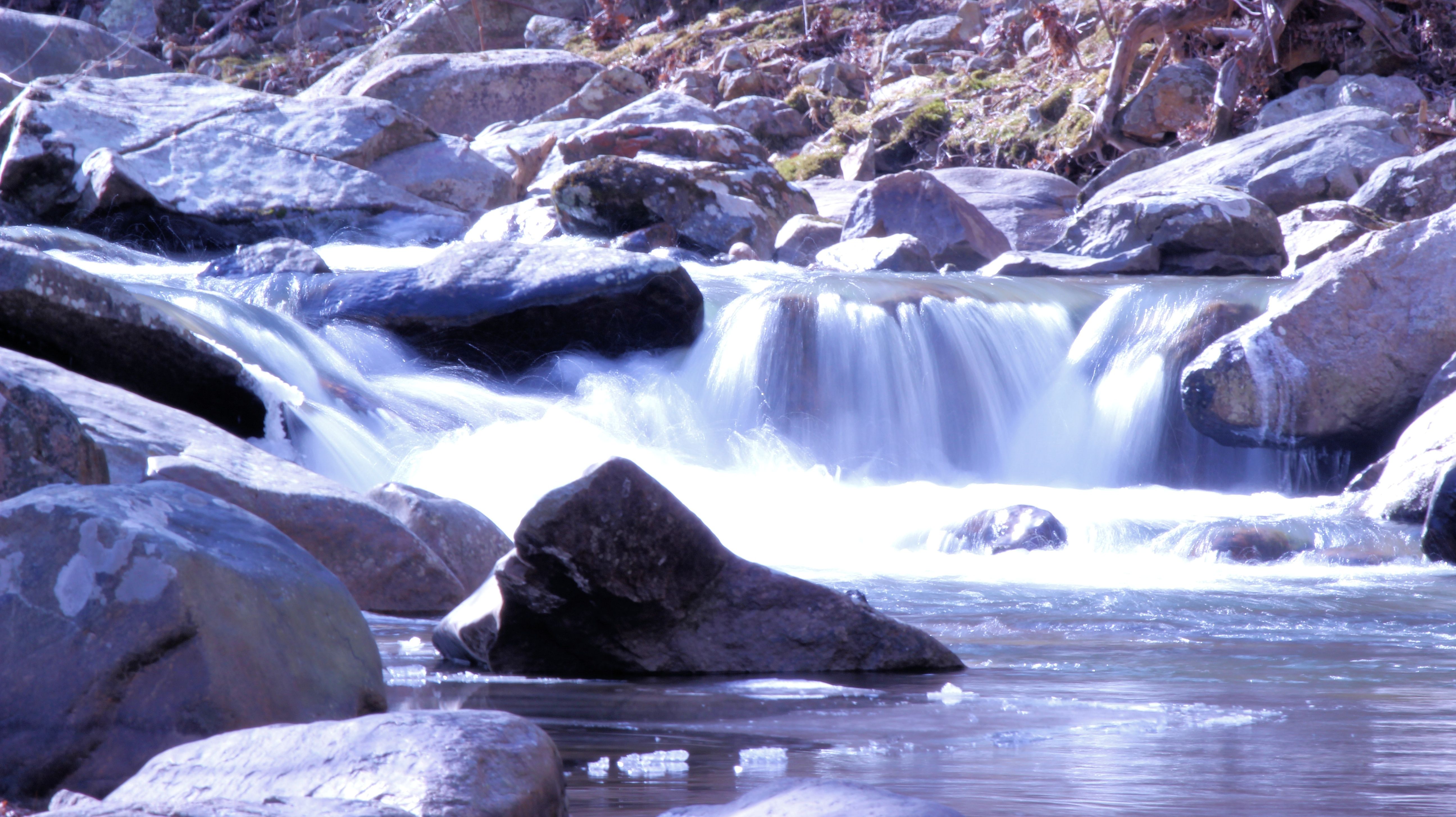
Full of Spring
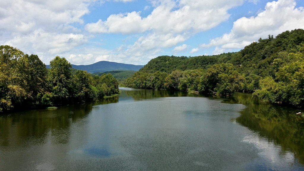
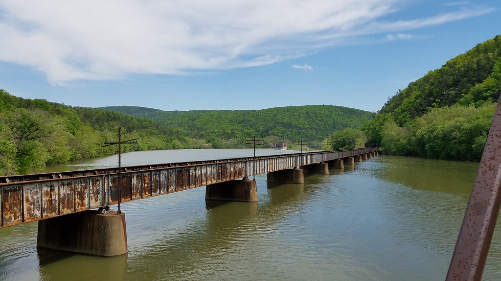
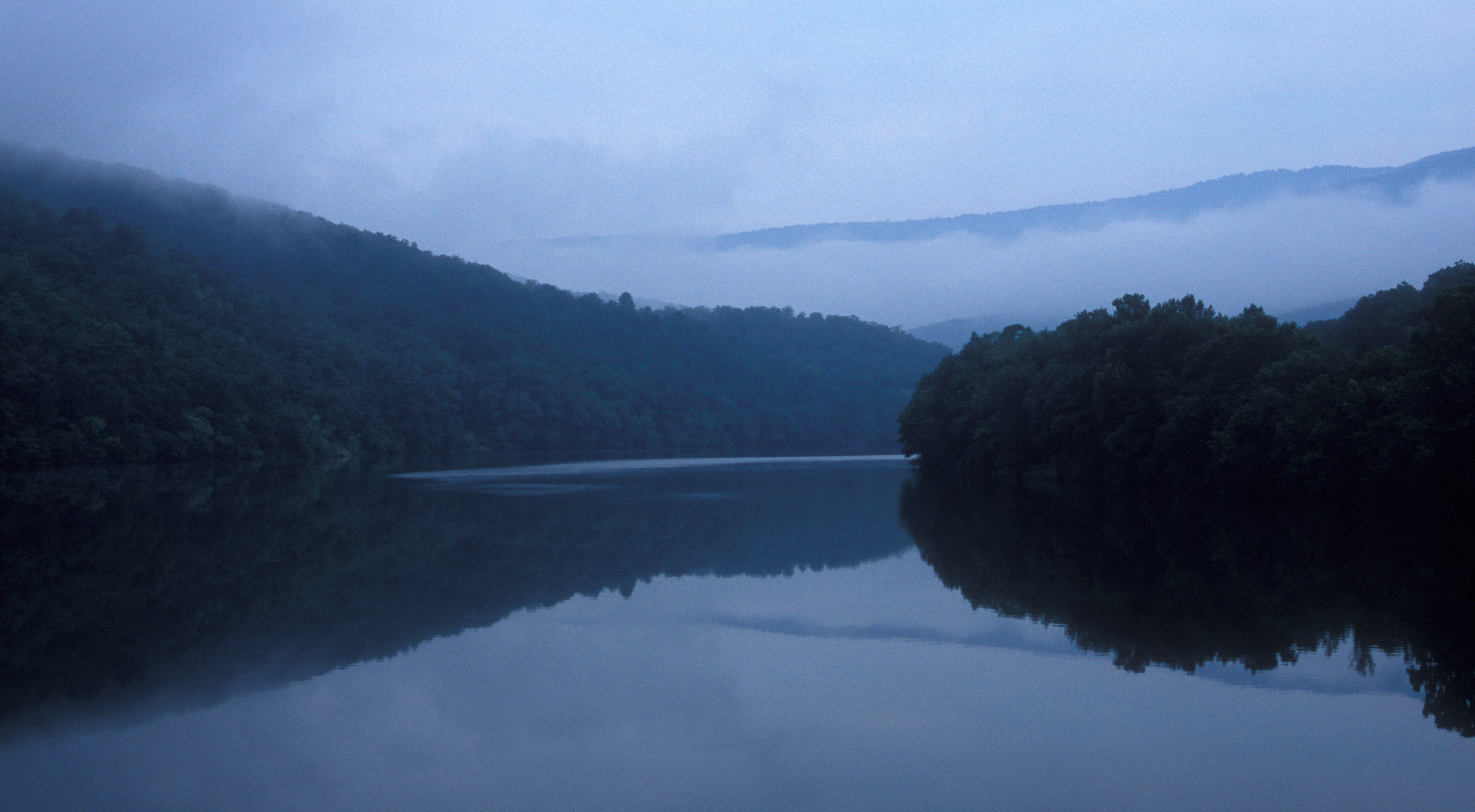
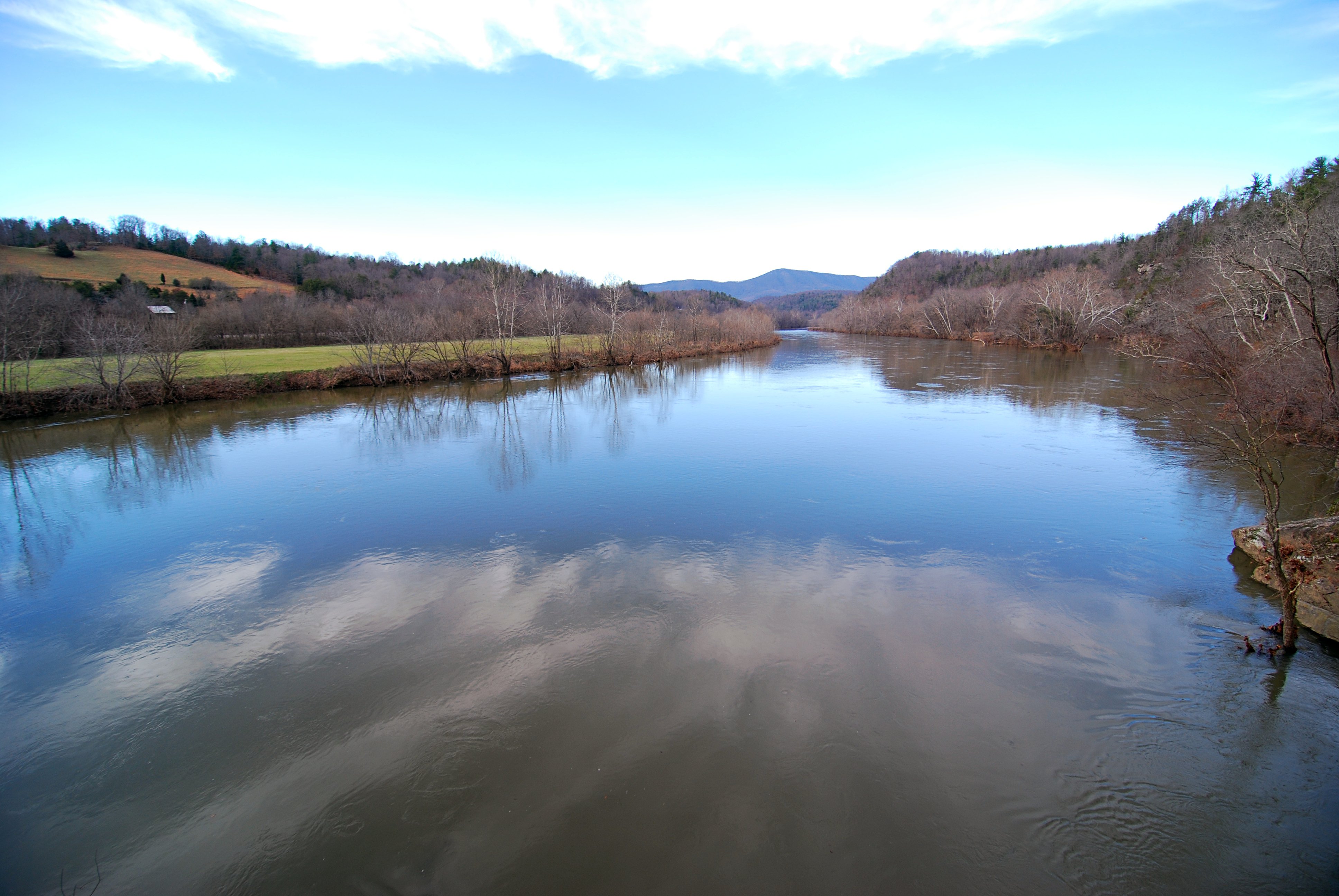
James River
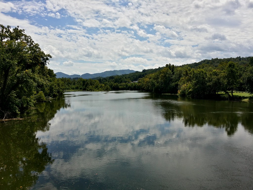
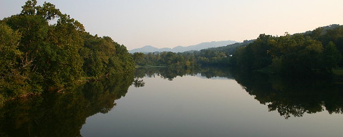
James River
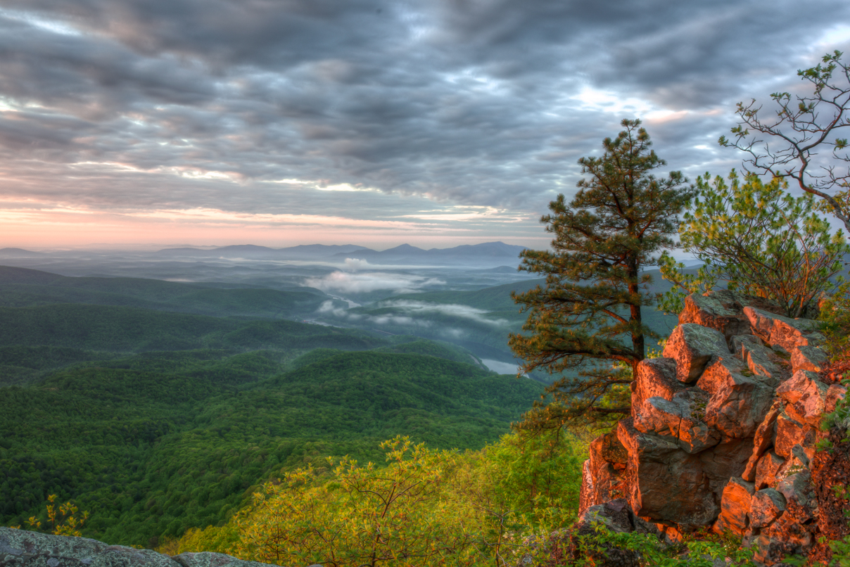
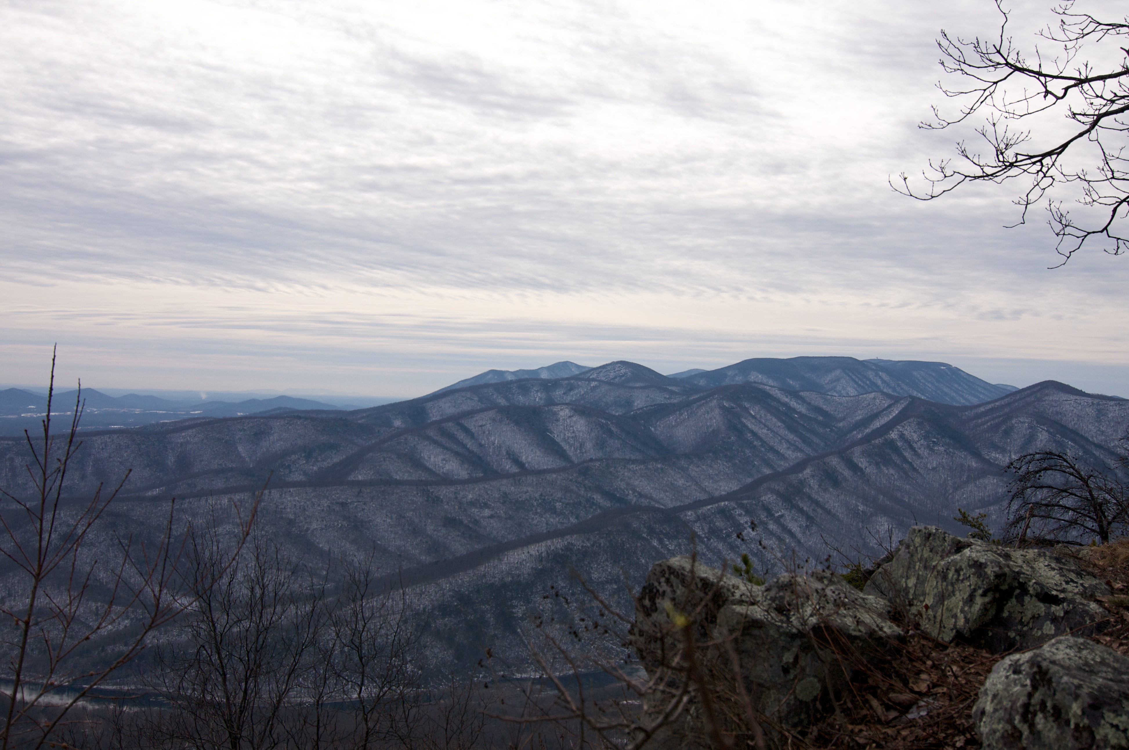
Fullers Rocks (Little Rocky Row)
view from James River Foot Bridge, Snowden
view at Pearch
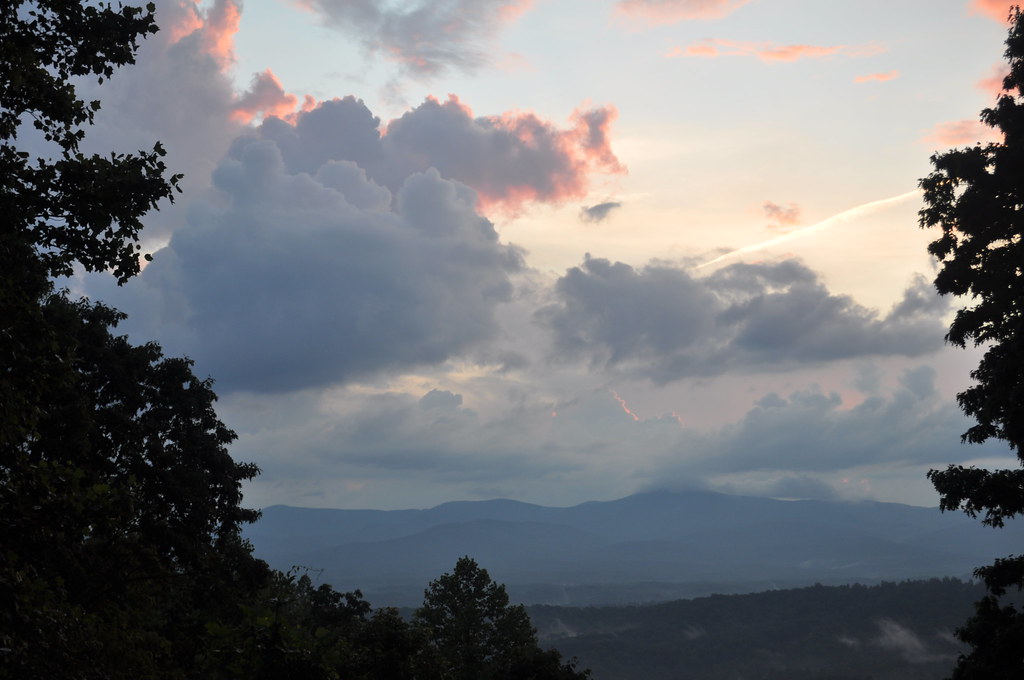
View from my Deck

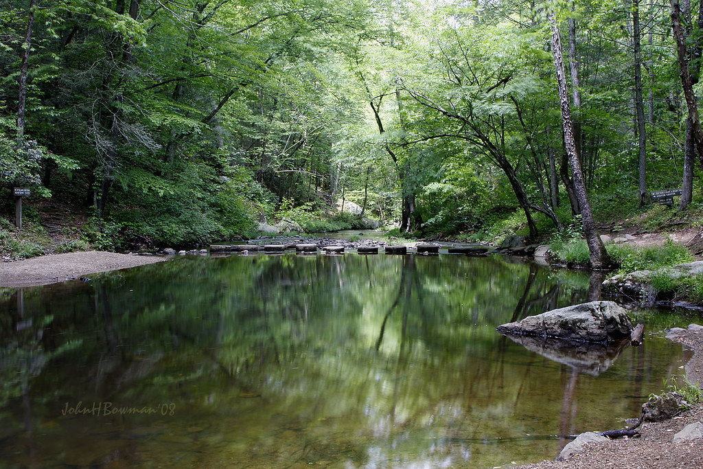
Rocky Row Run
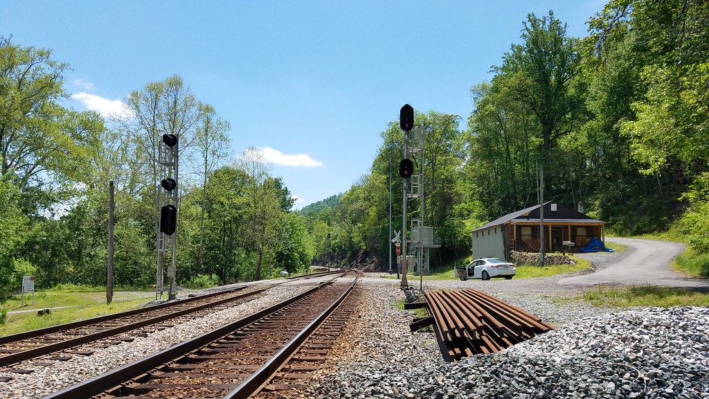
Favorite New Monitoring View

Dog with a view
View from James River Foot Bridge
Mountains Of Industry 6
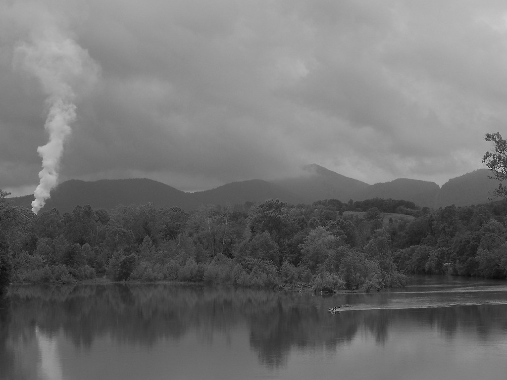
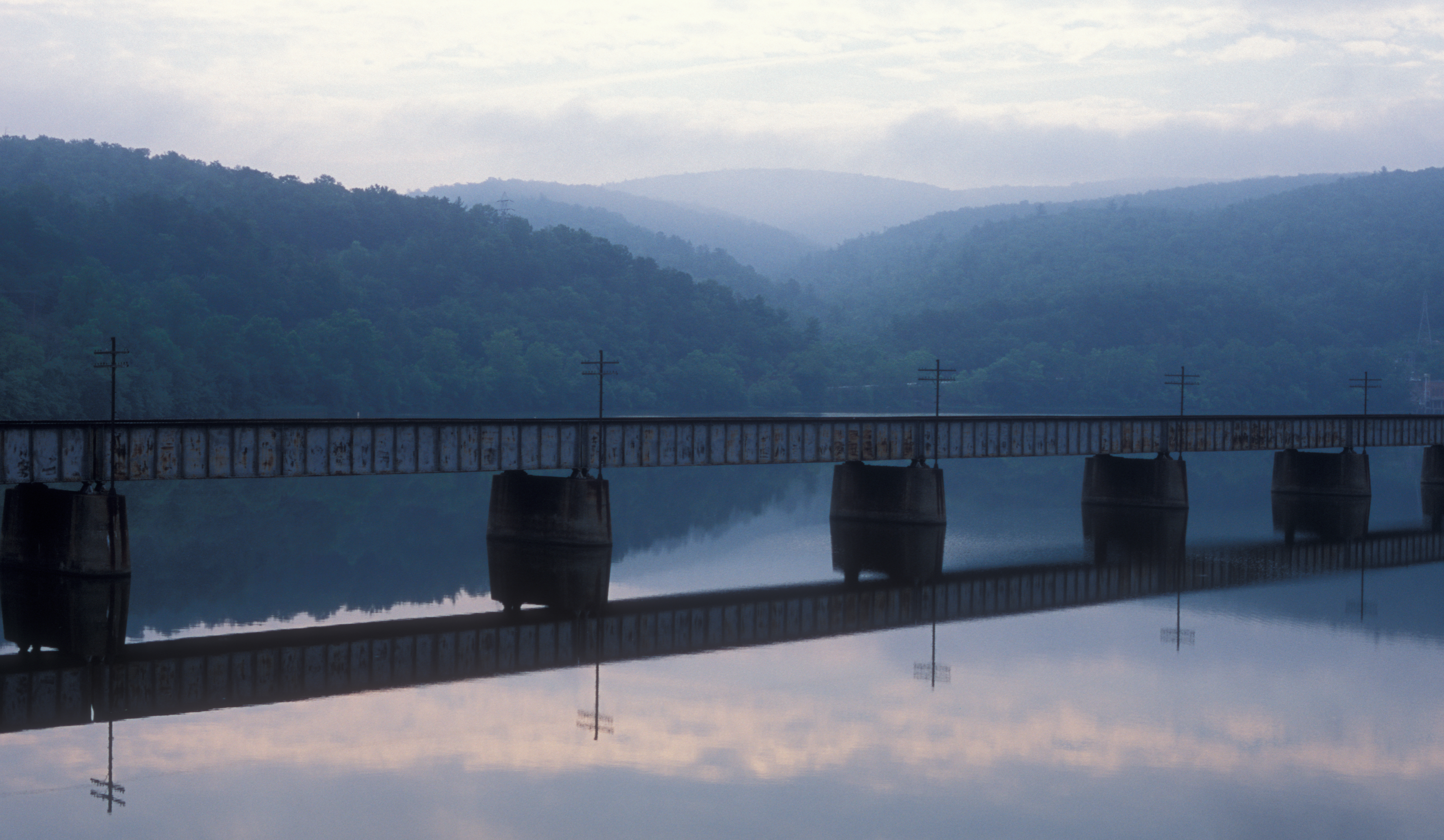
James River, Va
View from Little Rocky Row
View from James River Foot Bridge

Peephole View of the Reading Room,1959
Otter Creek Reflections - Blue Ridge Parkway

good morning! before all the leaves fall off, I would highly suggest you to check this view out within the next couple of weeks. take your family, kids and camera BUT don't forget to layer up. It's ultra windy up here, note the redness of my hands #explor
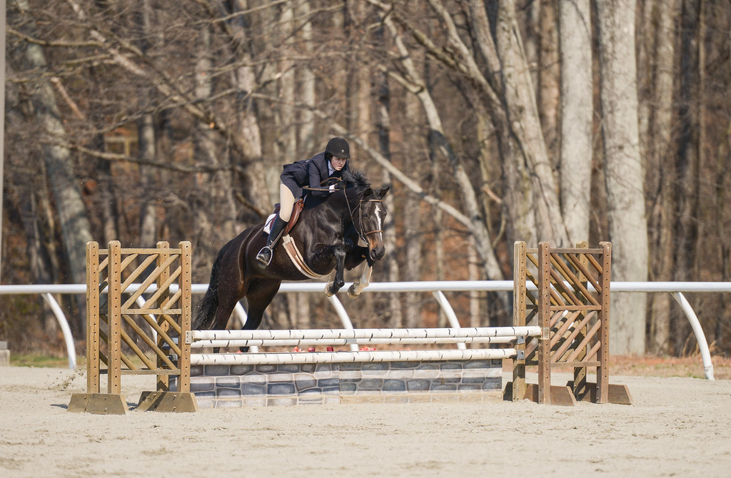
Madeline Coleman - Tina
View from my Deck

The Reading Room, 1933
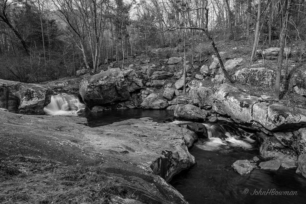
Rocky Row Run
Panther Falls Monochrome

Otter Creek-Explore

JFRM-2017-05-8308.jpg
Unknown Falls
James River
Otter Creek

JamesRiverLocks-1

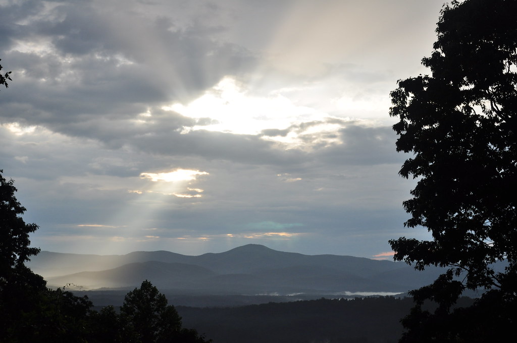
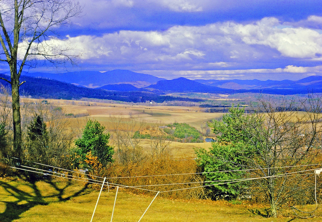
Blue Ridge Vista
West from Potato Hill Mountain, Agricola, Virginia

JFRM-2017-05-8302-Pano.jpg
Thanksgiving Color
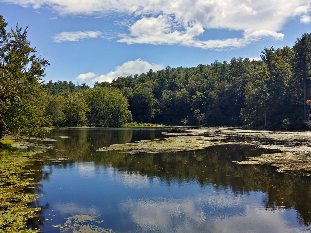
Otter Lake

Otter Creek
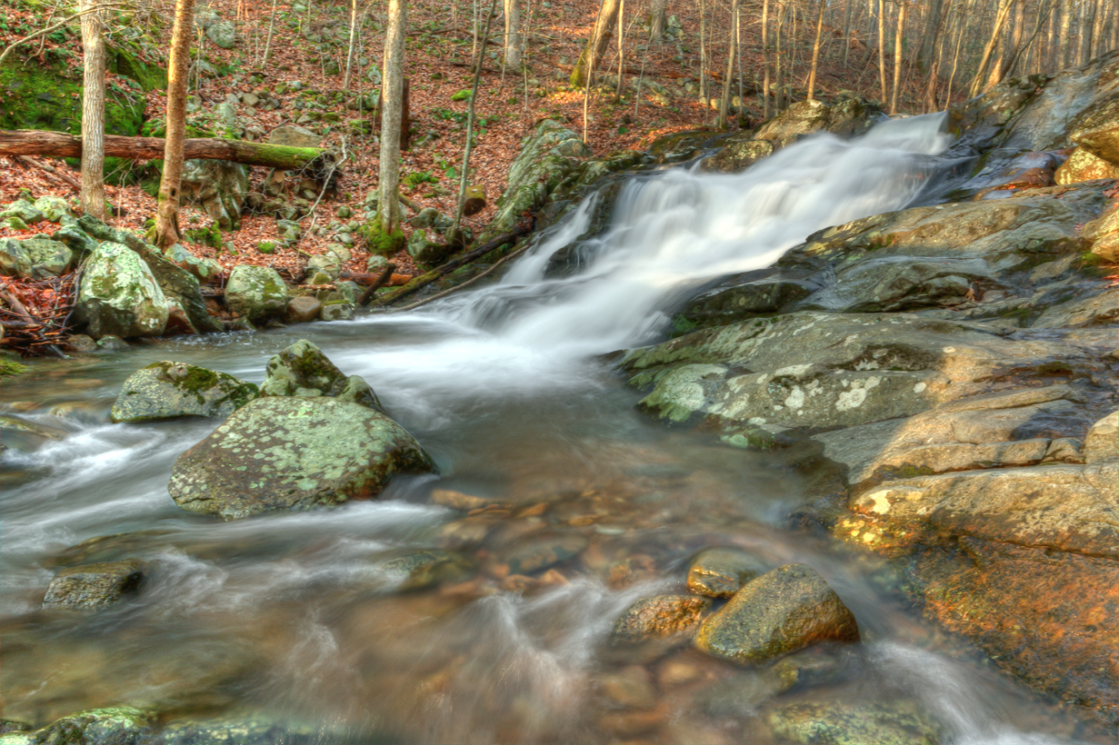
Small Waterfall Near Panther Falls
Topographic Map of Meadow Hollow Loop, Monroe, VA, USA
Find elevation by address:

Places near Meadow Hollow Loop, Monroe, VA, USA:
548 Crest Of Pedlar Dr
110 Dancing Creek Rd
110 Dancing Creek Rd
110 Dancing Creek Rd
110 Dancing Creek Rd
110 Dancing Creek Rd
Wagon Trail Road
3, VA, USA
3774 Elon Rd
Region 2000 Radio Site
Tree Loft Lane
Apple Grove Road
804 Grant's Hollow Rd
Blue Ridge Lane
Elon Rd, Monroe, VA, USA
2201 State Rte 636
2201 State Rte 636
6252 Elon Rd
Lonewolf Trail
1320 Abert Rd
Recent Searches:
- Elevation of Felindre, Swansea SA5 7LU, UK
- Elevation of Leyte Industrial Development Estate, Isabel, Leyte, Philippines
- Elevation of W Granada St, Tampa, FL, USA
- Elevation of Pykes Down, Ivybridge PL21 0BY, UK
- Elevation of Jalan Senandin, Lutong, Miri, Sarawak, Malaysia
- Elevation of Bilohirs'k
- Elevation of 30 Oak Lawn Dr, Barkhamsted, CT, USA
- Elevation of Luther Road, Luther Rd, Auburn, CA, USA
- Elevation of Unnamed Road, Respublika Severnaya Osetiya — Alaniya, Russia
- Elevation of Verkhny Fiagdon, North Ossetia–Alania Republic, Russia