Elevation of Wayne, WI, USA
Location: United States > Wisconsin > Washington County >
Longitude: -88.343362
Latitude: 43.4910283
Elevation: 310m / 1017feet
Barometric Pressure: 98KPa
Elevation Map:
Satellite Map:
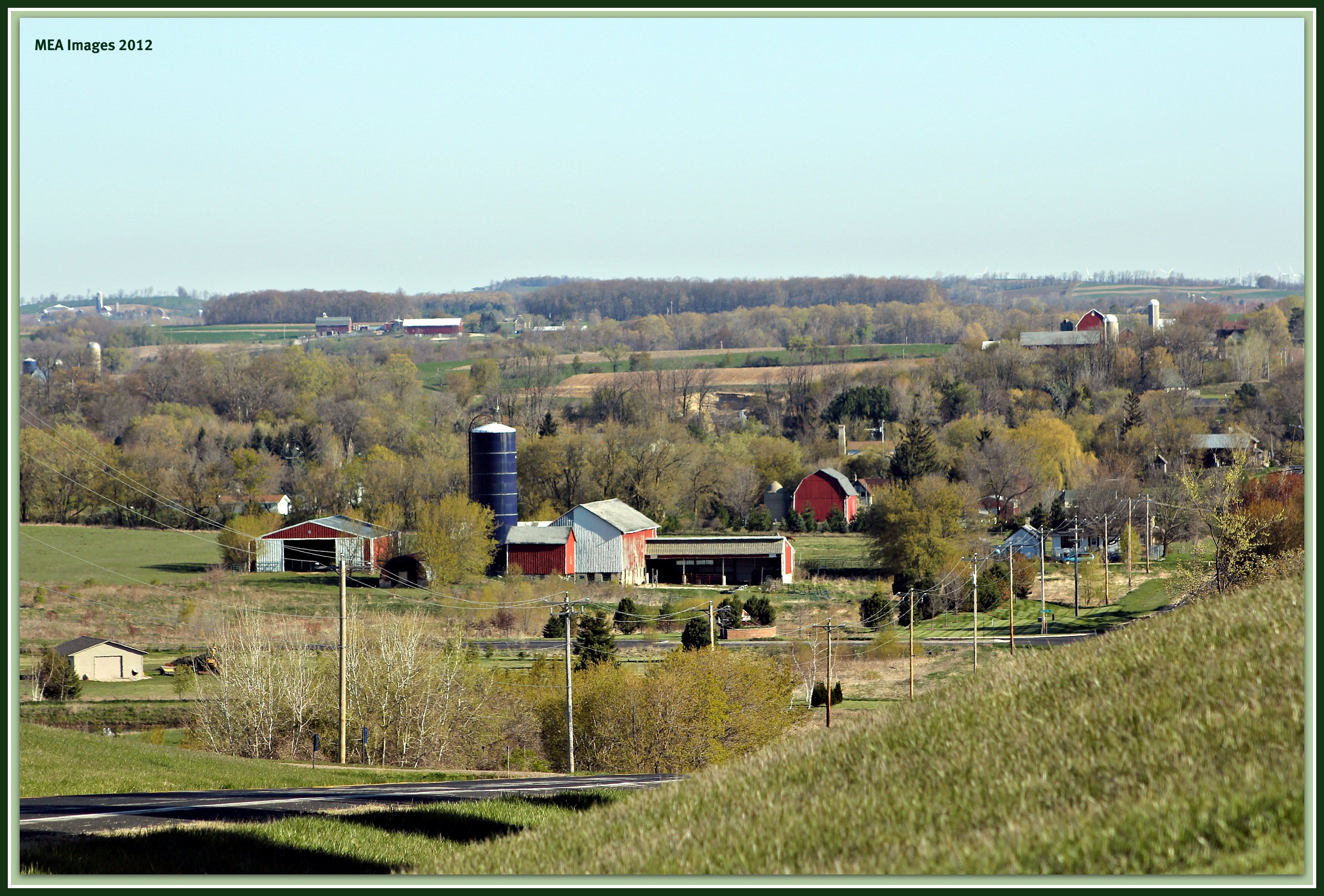
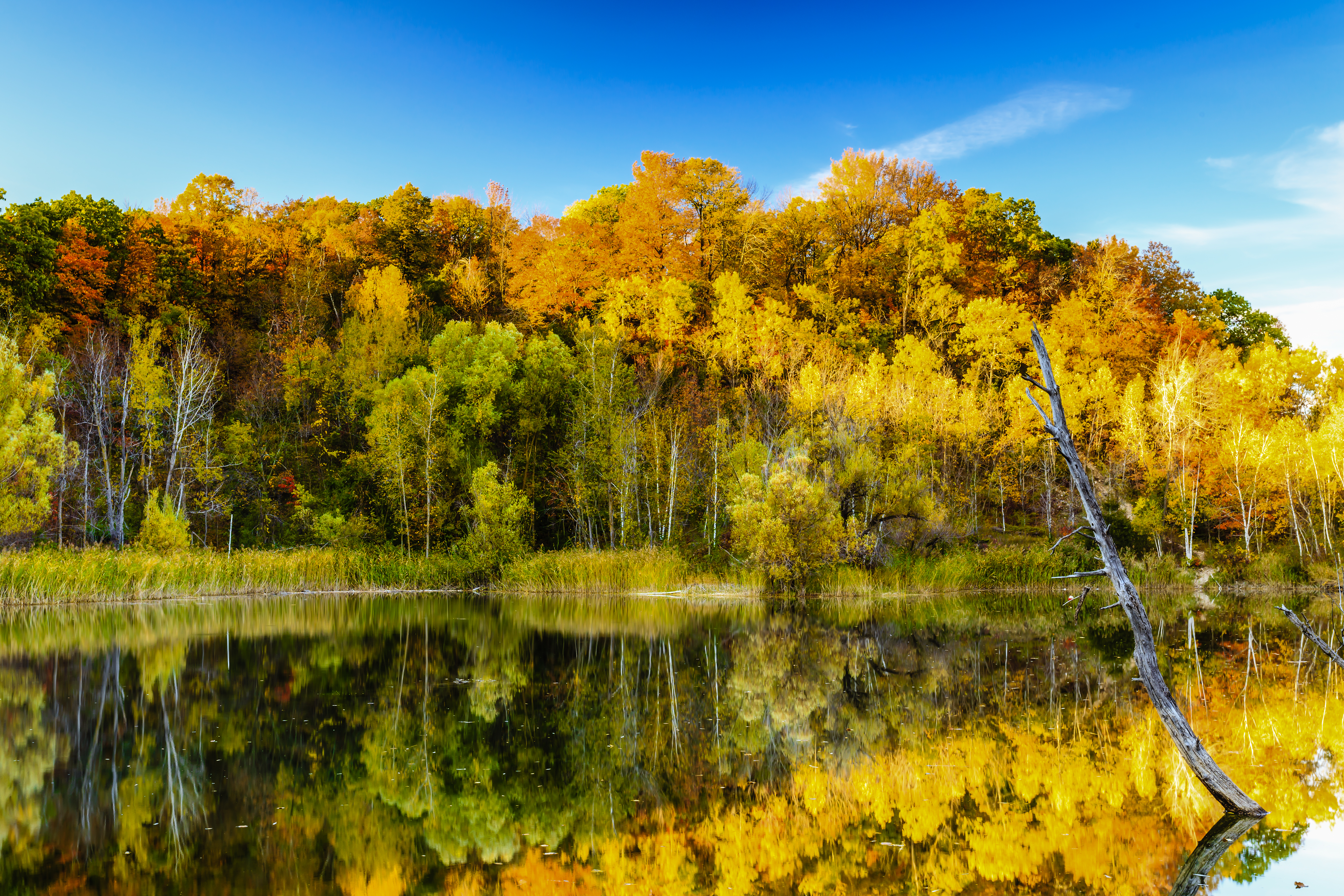
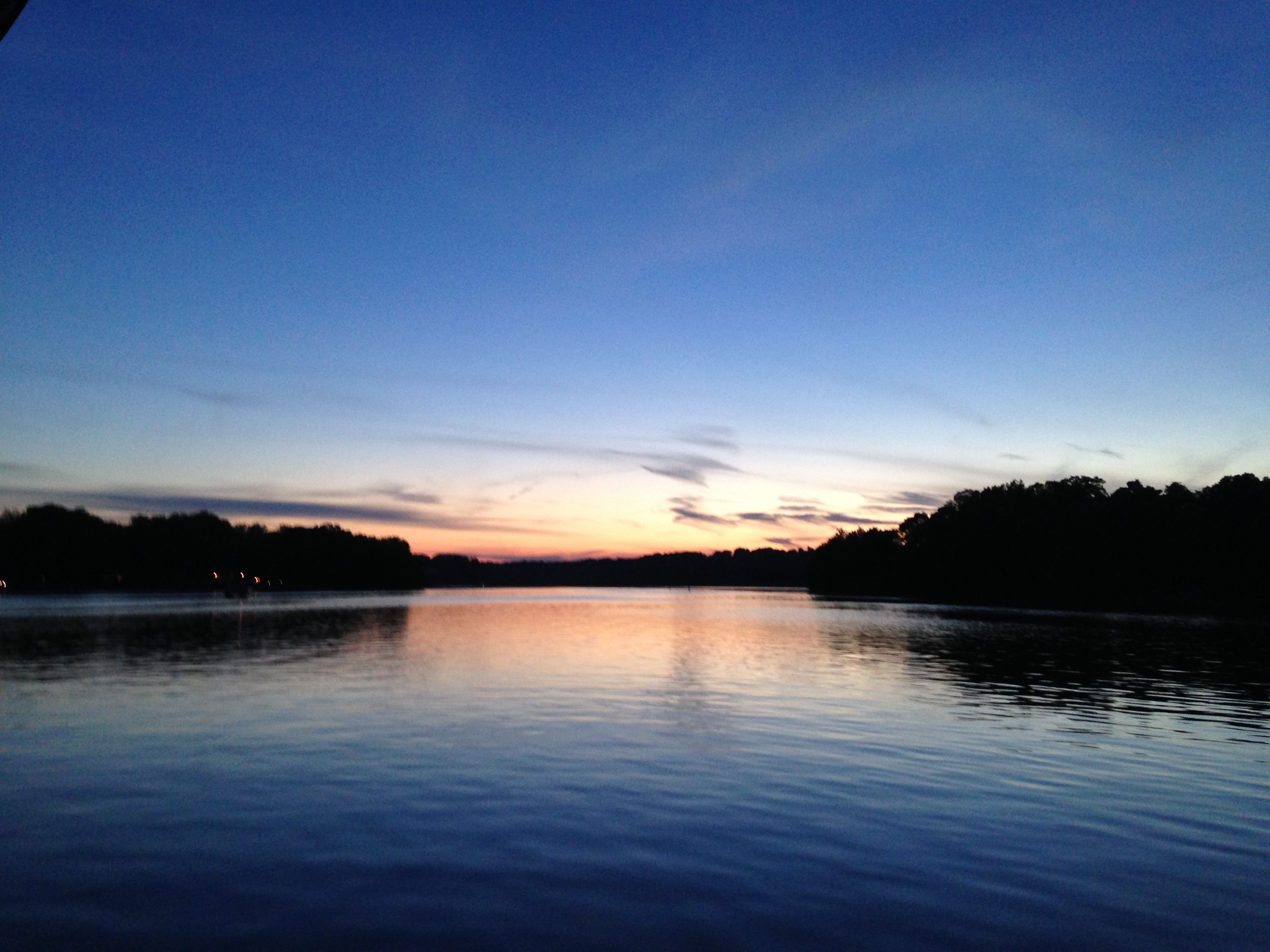
Related Photos:
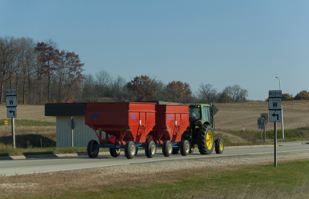
Harvest Time
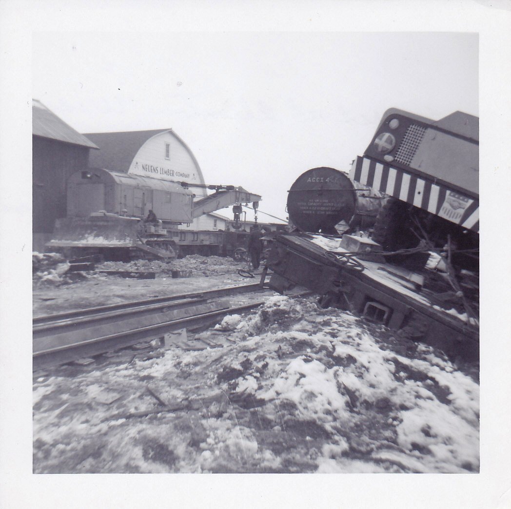
Allenton Wreck--4
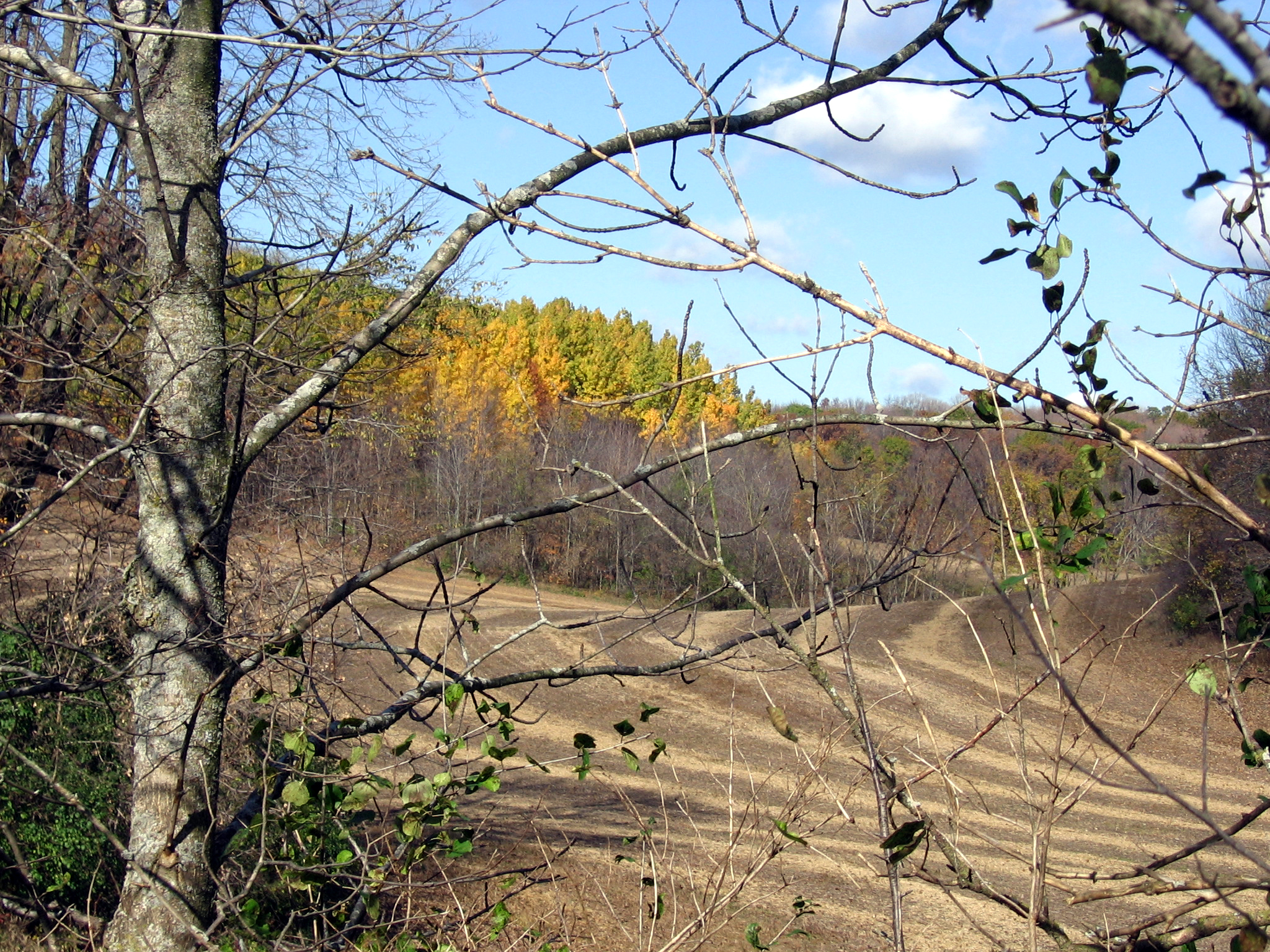
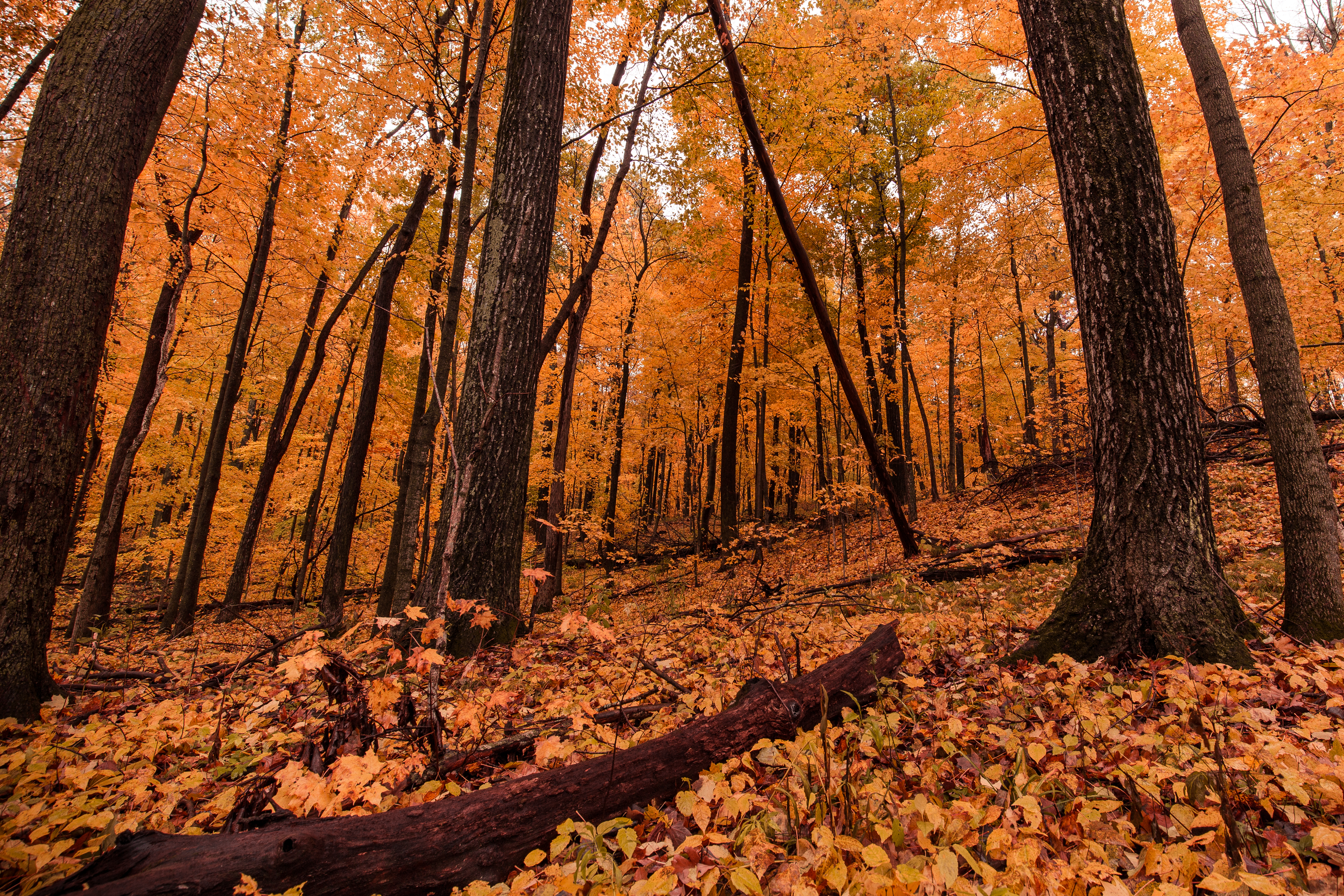
Distant Poplars #1
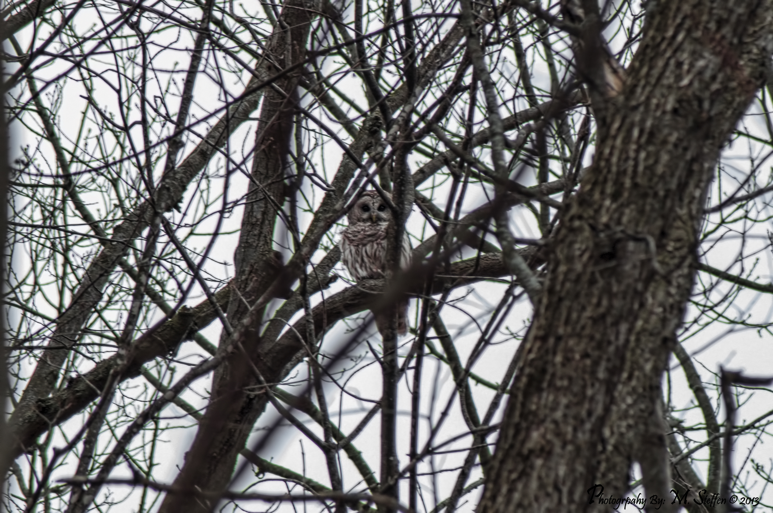
Barred Owl

View west of Kewaskum
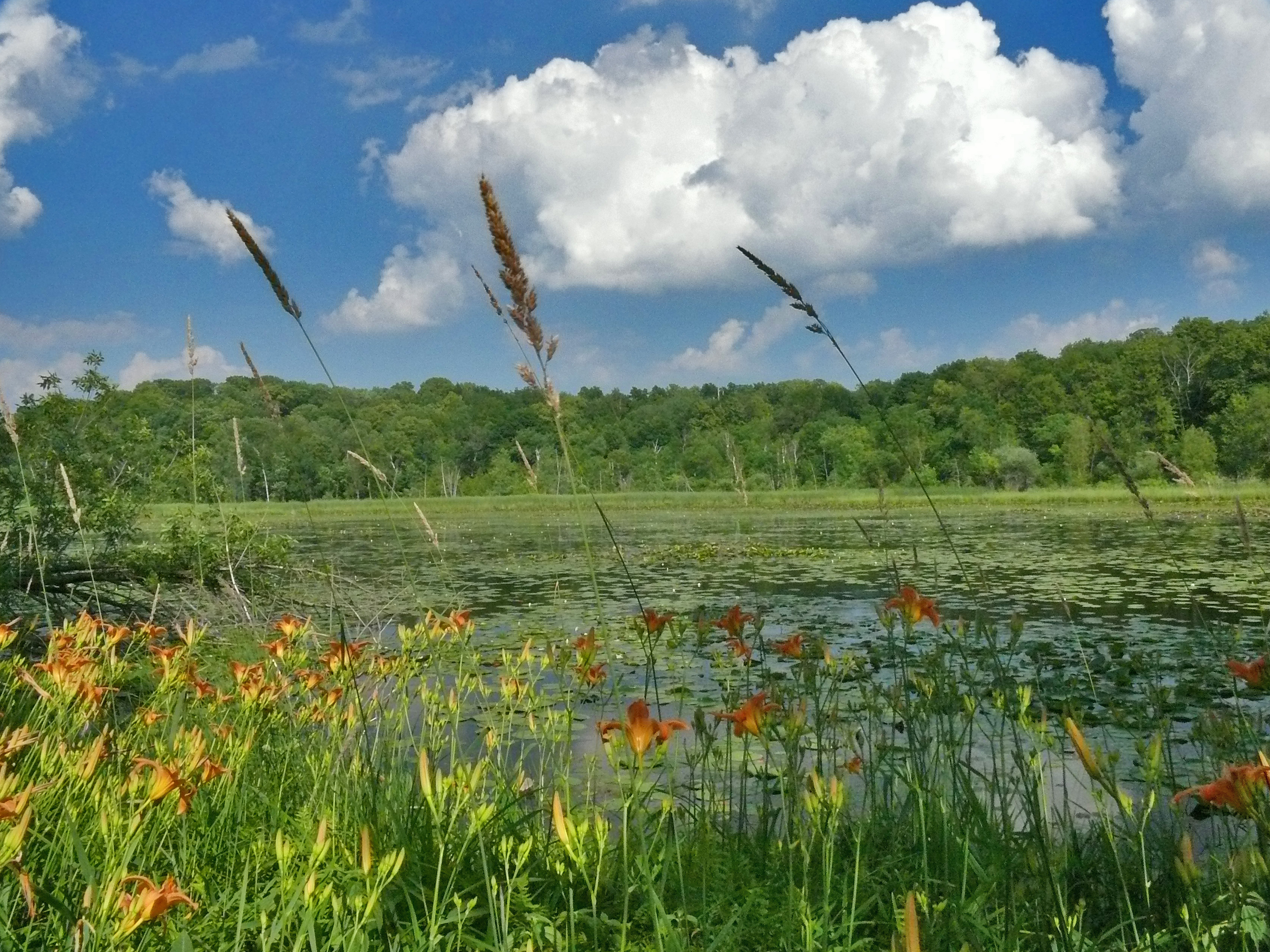
The Lake at Lac Lawrann

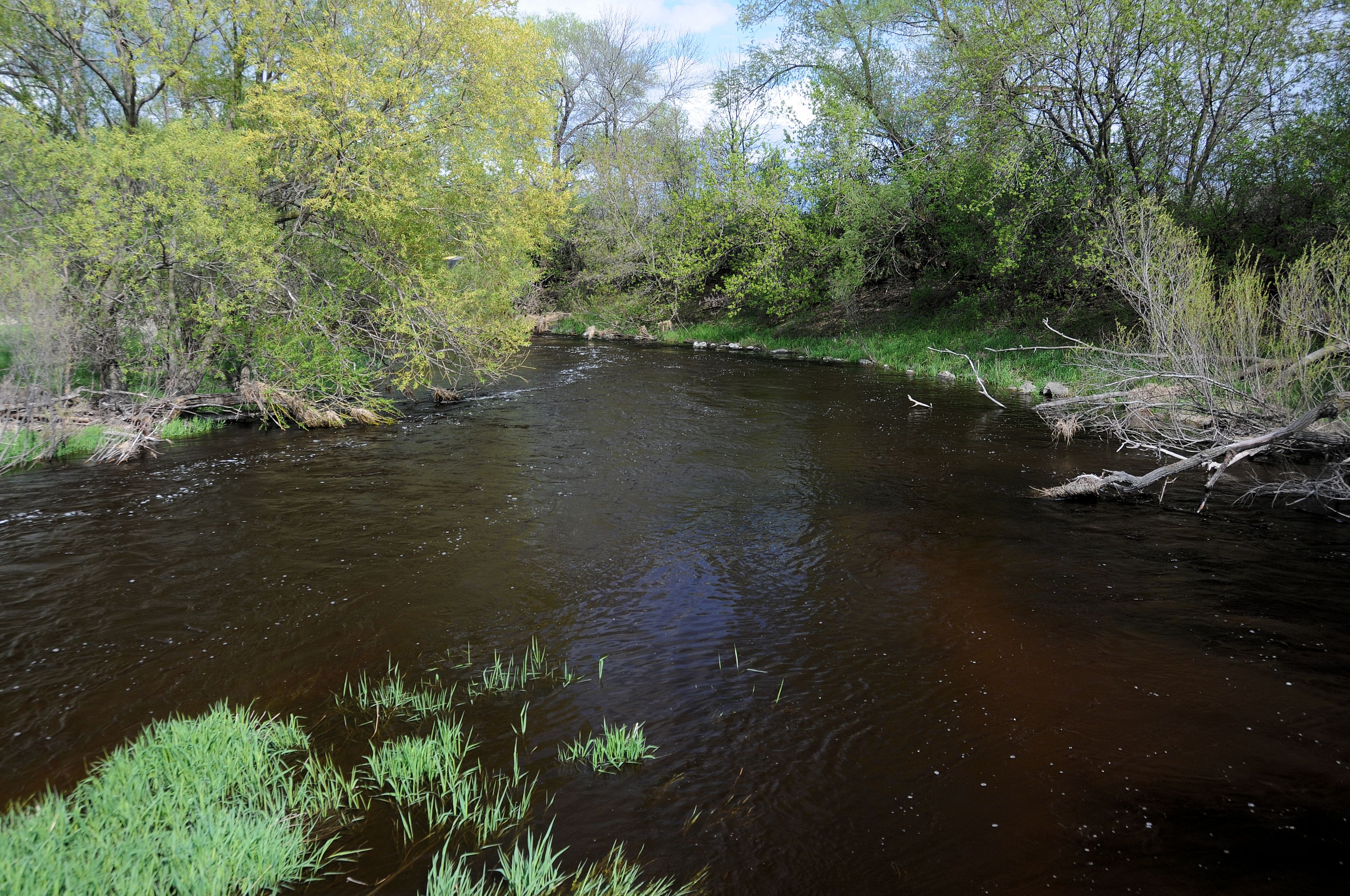
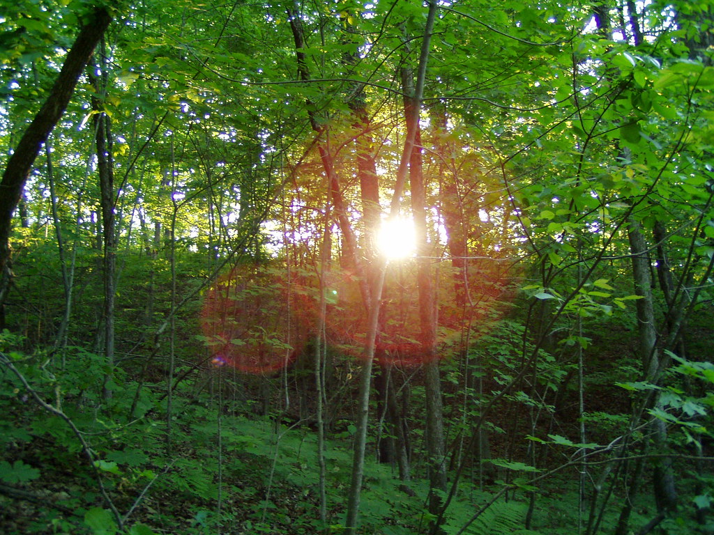
View through trees

Barton Pano v4

Small Lake at Glacier Blue Hills

Lindsay in Renaissance side view

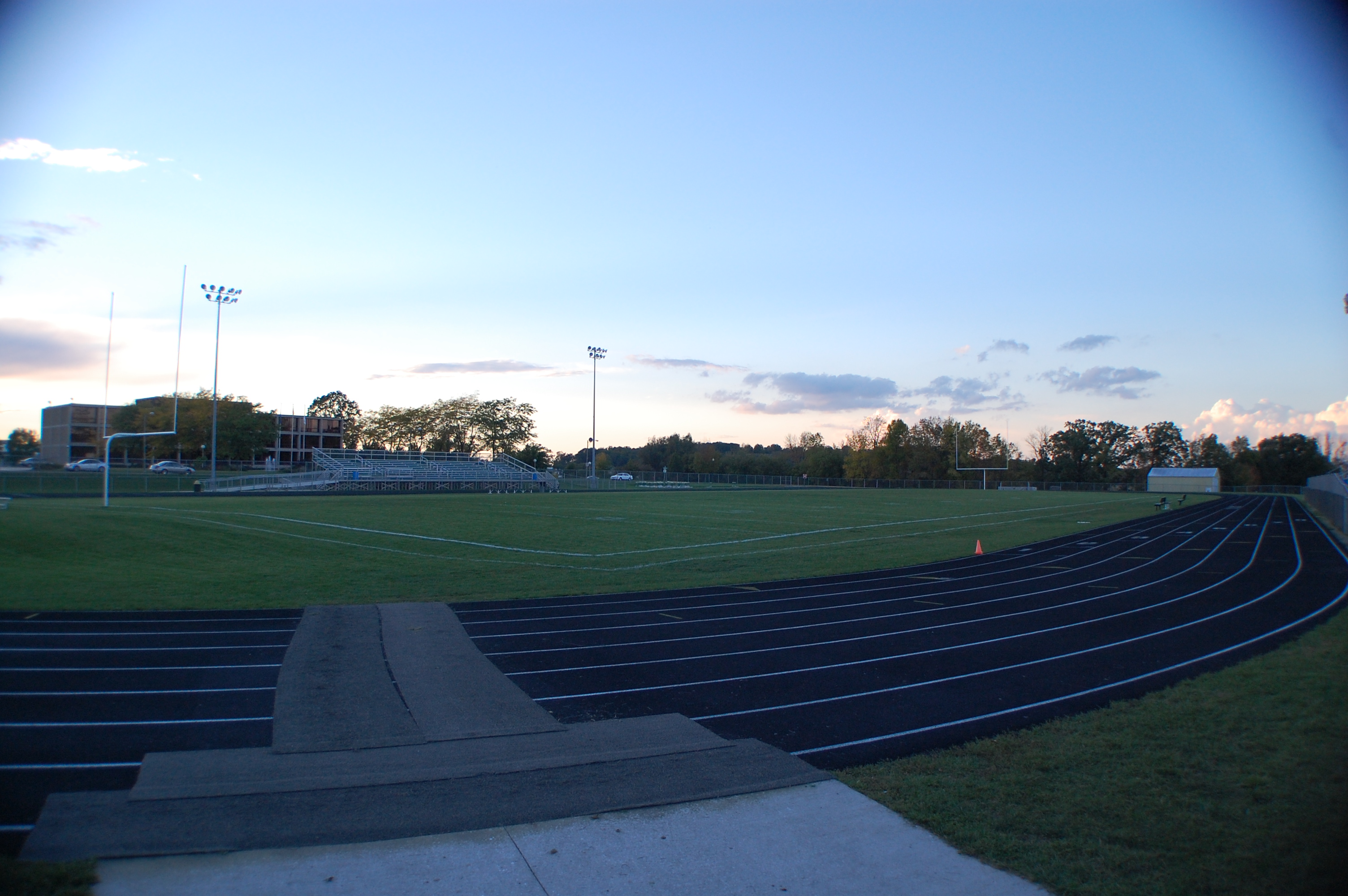
West Bend
Wide lens view of field

first good view of the day

West Bend Depot-3

First view of the day

A view in West Bend

Rural Wisconsin
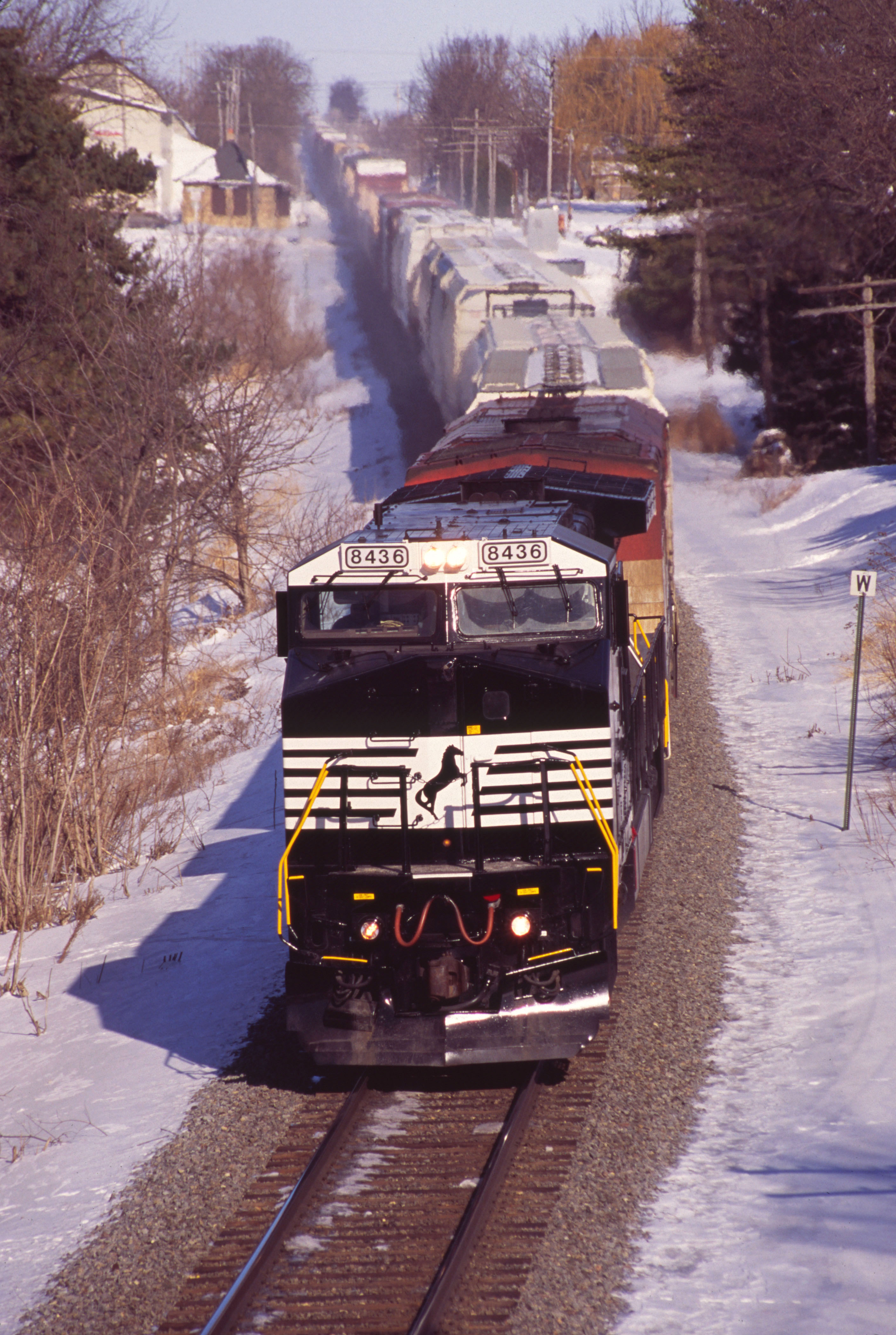
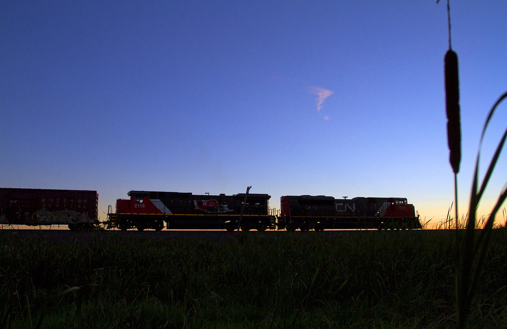
NS 8436 on CN - 1/30/2011
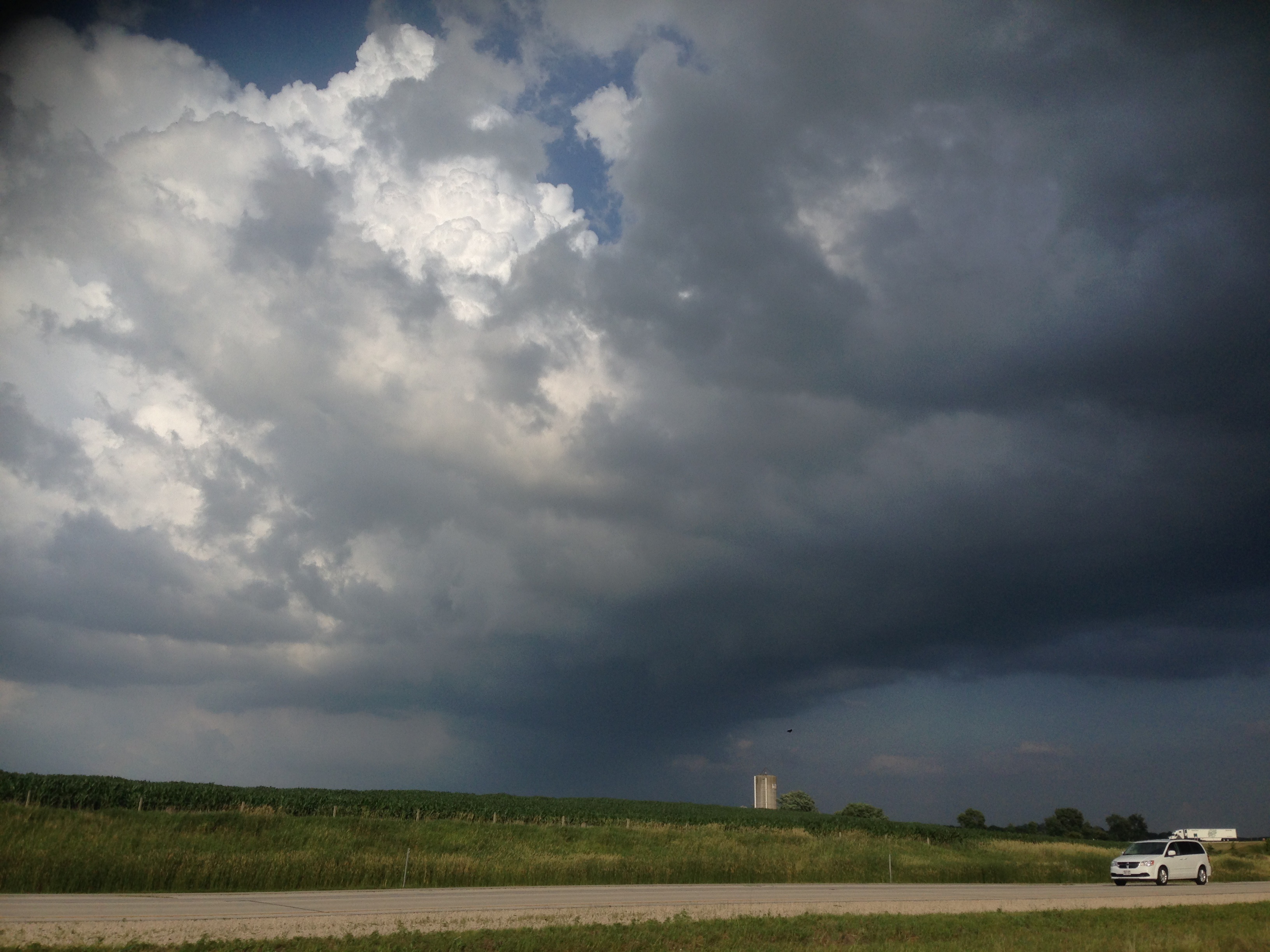
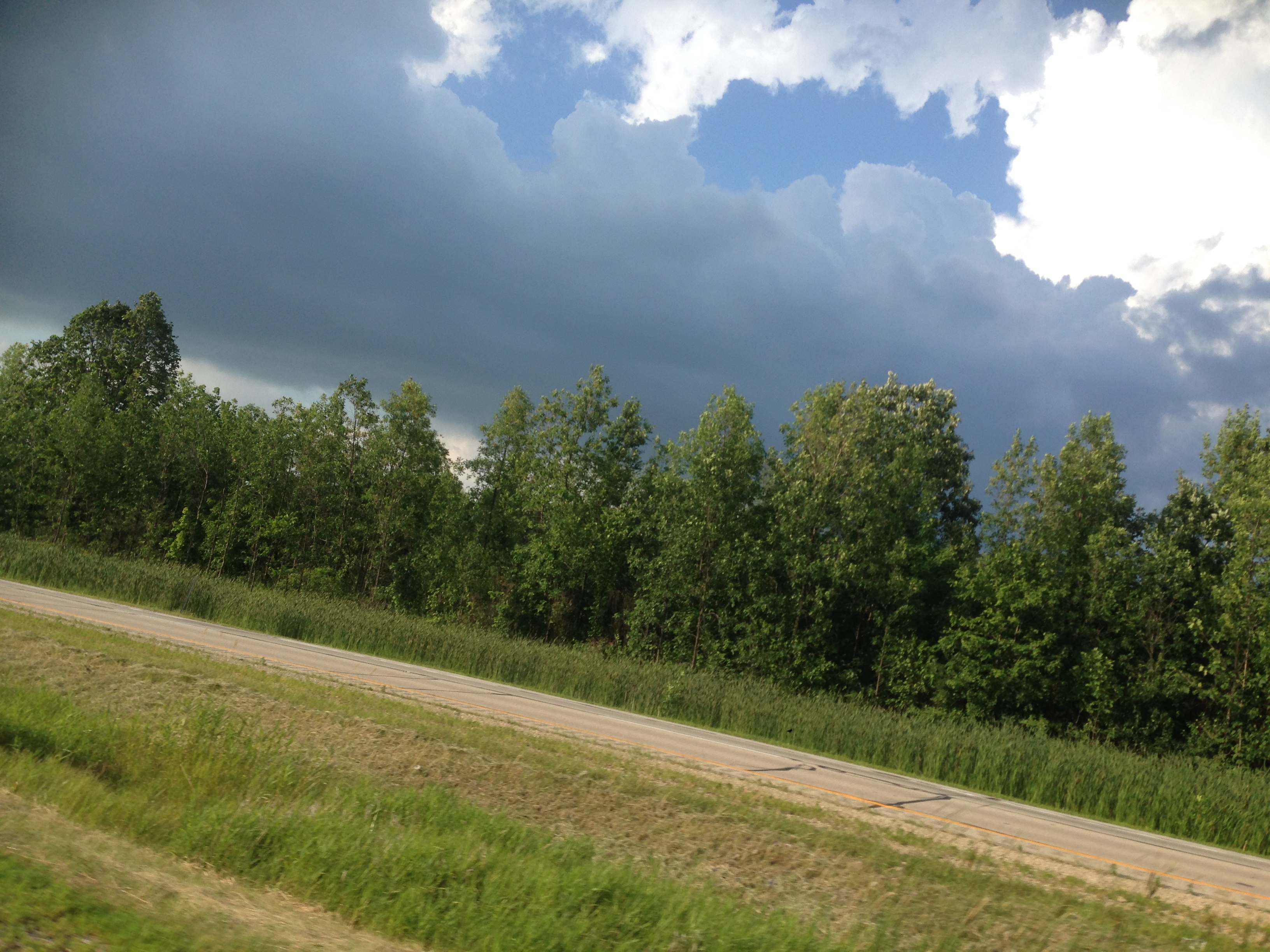
201407 Clouds, Wisconin, Interesting - 03
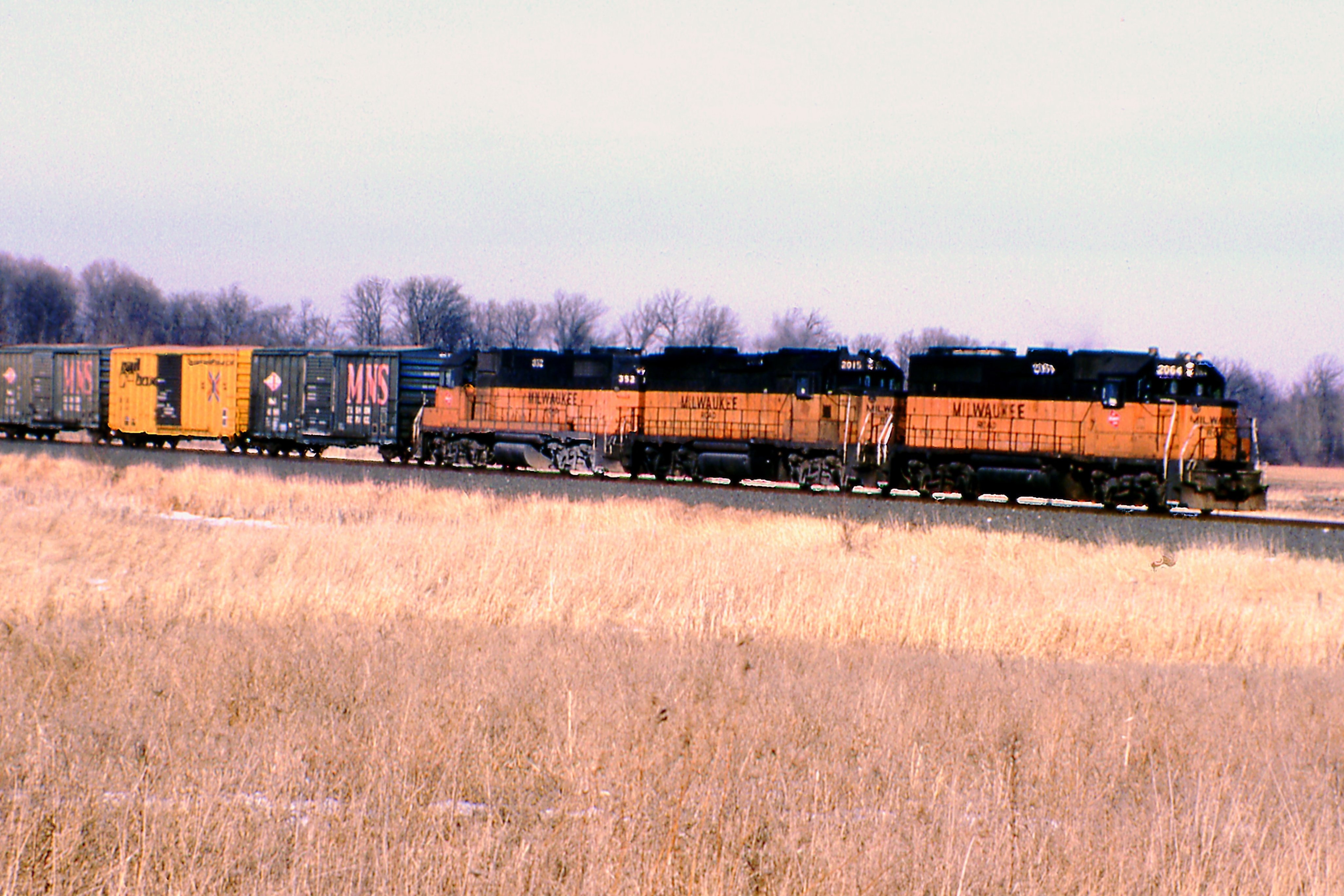
Pure Milwaukee Road Lashup
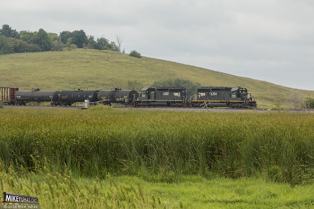
Matched set
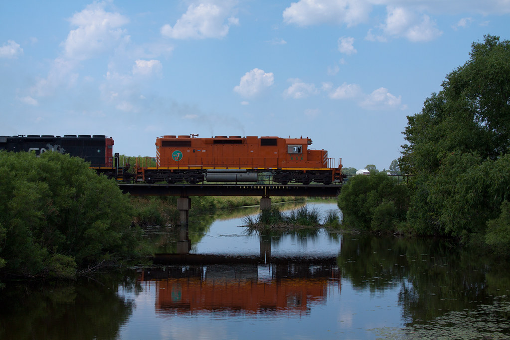
L510 EJE 656 Theresa, WI
Little Cedar Lake

LCU00330.jpg

Wind Farming
2014 Riverside Park
Ridge Run Co. Park
Theresa Station Silo
Oi-lympics. #dawnapadrewza6
Shawn Conrad20141015-.JPG

Good field lookout
Little Cedar Lake
clouds, wisconsin
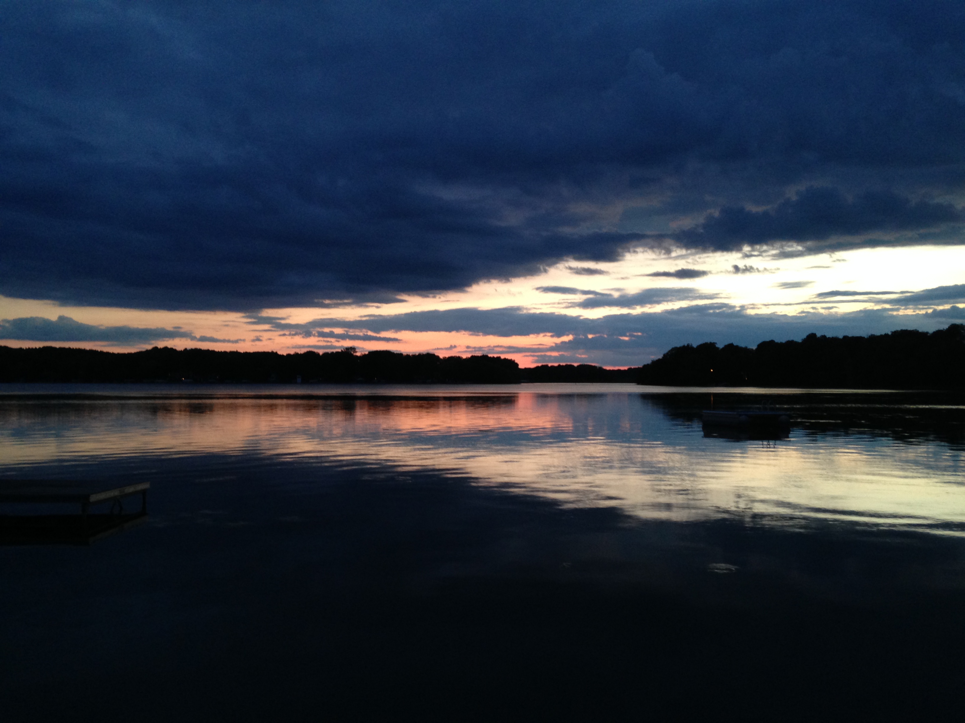
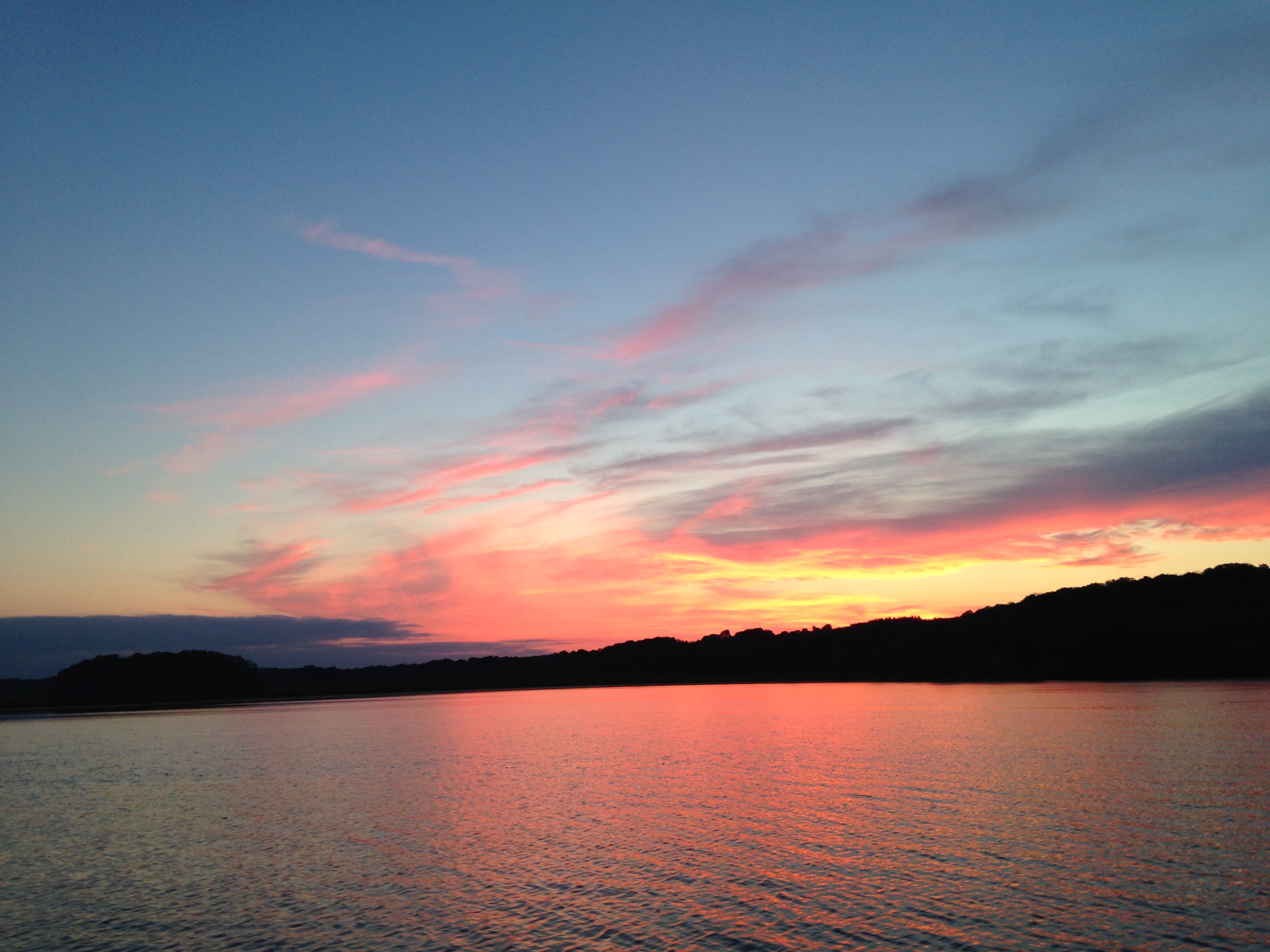
Sunrise over Cedar Valley
rolling hills
20131010-IMG_4483-Edit.jpg

20131010-IMG_4502-Edit.jpg
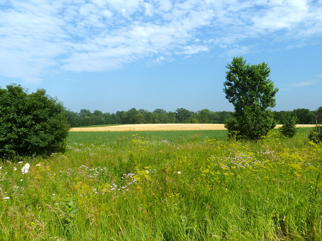
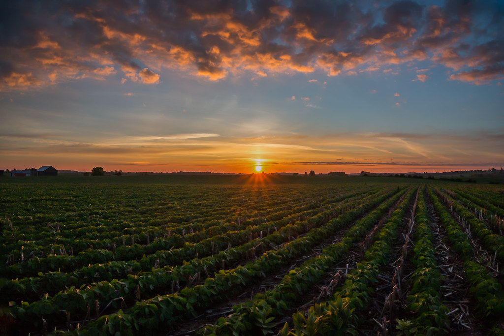
Lovely fields
Little Cedar Lake
Topographic Map of Wayne, WI, USA
Find elevation by address:

Places in Wayne, WI, USA:
Places near Wayne, WI, USA:
County Rd W, West Bend, WI, USA
County Rd W, Allenton, WI, USA
N110
WI-, Allenton, WI, USA
Allenton
Aurora Rd, West Bend, WI, USA
Ashford
3028 Elmore Dr
Contour Lane
W2939
N543 Hillside Ct
W4286
Ashford
Theresa
WI-, Theresa, WI, USA
Lomira
W2179
S Main St, Mayville, WI, USA
Mayville
W2810
Recent Searches:
- Elevation of Congressional Dr, Stevensville, MD, USA
- Elevation of Bellview Rd, McLean, VA, USA
- Elevation of Stage Island Rd, Chatham, MA, USA
- Elevation of Shibuya Scramble Crossing, 21 Udagawacho, Shibuya City, Tokyo -, Japan
- Elevation of Jadagoniai, Kaunas District Municipality, Lithuania
- Elevation of Pagonija rock, Kranto 7-oji g. 8"N, Kaunas, Lithuania
- Elevation of Co Rd 87, Jamestown, CO, USA
- Elevation of Tenjo, Cundinamarca, Colombia
- Elevation of Côte-des-Neiges, Montreal, QC H4A 3J6, Canada
- Elevation of Bobcat Dr, Helena, MT, USA