Elevation of W WI-67, Campbellsport, WI, USA

Location: United States > Wisconsin > Fond Du Lac County > Ashford >

Longitude: -88.370127

Latitude: 43.5868999

Elevation: 318m / 1043feet

Barometric Pressure: 98KPa

Elevation Map:

elevation map of W WI-67, Campbellsport, WI, USA

Satellite Map:

Satellite map of W WI-67, Campbellsport, WI, USA

Related Photos:

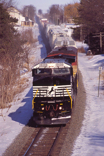
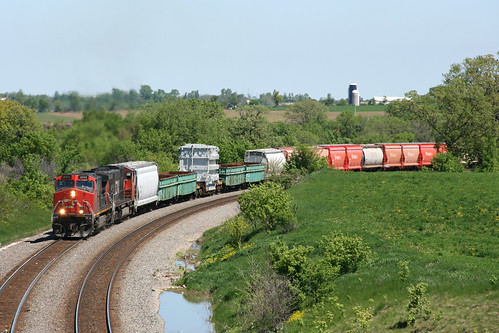
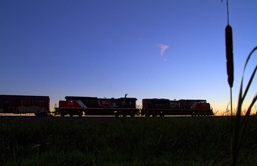
NS 8436 on CN - 1/30/2011
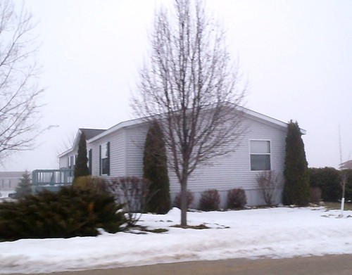
wisconsin trailerhomesedenwisconsin kb9vghkatyconnell
side view of white tailer in Eden, Wisconsin; foggy day P2020181
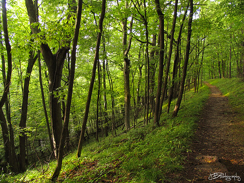
lake ice forest woods state hiking kettle trail age moraine mauthe
Ice Age Trail
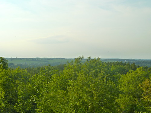
View west of Kewaskum
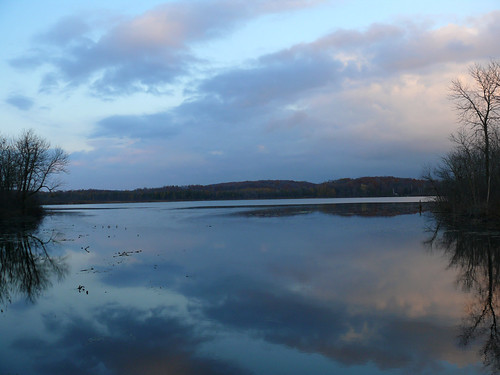
lake wisconsin wi fonddulac kettlemorainestateforest mauthelake mattdrollinger matthewdrollinger mauthelakerecreationarea
Mauthe Lake View
CTH F
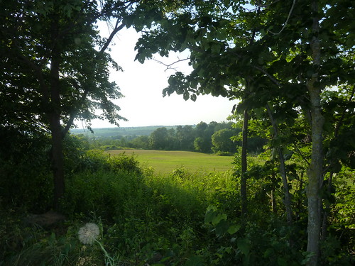
View through trees
Broken Knuckle at Byron
valencia square squareformat iphoneography instagramapp uploaded:by=instagram
#icecream #viewing #restrooms #sign #outofcontext #unintentionallyfunny #humor #lynnfriedman
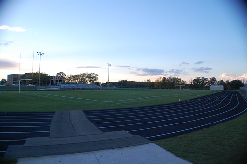
field wisconsin football nikon d40 kewaskum
Wide lens view of field
ledge park
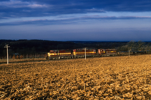
railroad wisconsin train morninglight cornfield wi wisconsincentral emd sdl39 byronhill dirttrain
Brief morning light
square squareformat amaro iphoneography instagramapp uploaded:by=instagram foursquare:venue=4e3760ad62e1a8e9cc459318
Oi-lympics. #dawnapadrewza6
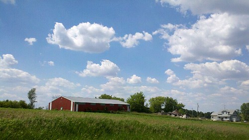
wisconsin clouds
clouds, wisconsin
sky colors clouds sunrise landscape landscapes farm
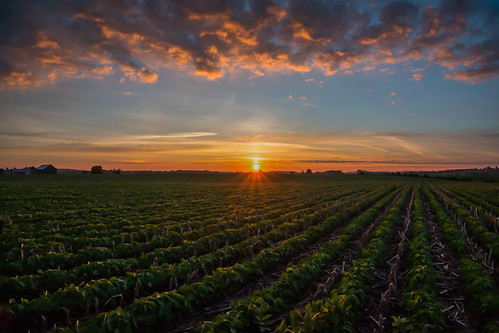
Sunrise over Cedar Valley
trees lake fall robert water colors wisconsin forest state north kettle alpine wi kramer moraine unit campbellsport at
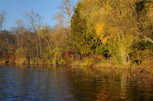
2013 Fall At Alpine Lake 2
trees lake fall robert water colors wisconsin forest state north kettle alpine wi kramer moraine unit campbellsport at
2013 Fall At Alpine Lake
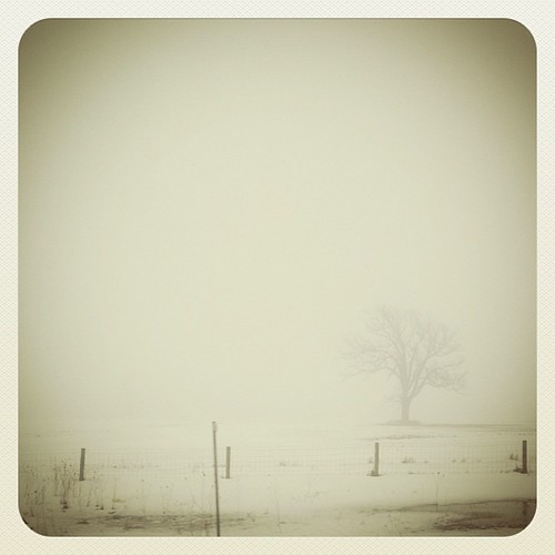
square squareformat earlybird iphoneography instagramapp uploaded:by=instagram foursquare:venue=50da2debe4b073c63cc2d817
#fog #wisconsn #landscape #monochrome
wisconsin unitedstates brownsville
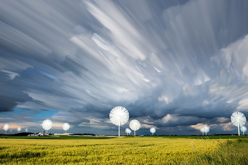
Farmersville Timestack
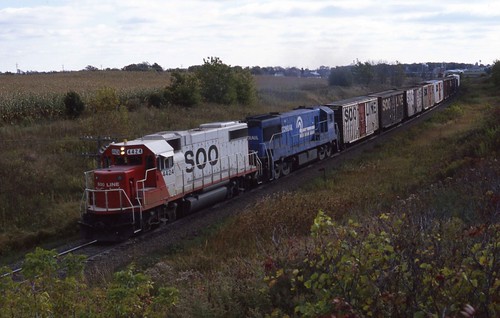
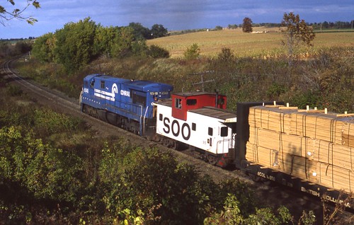
sooline milwaukeeroad
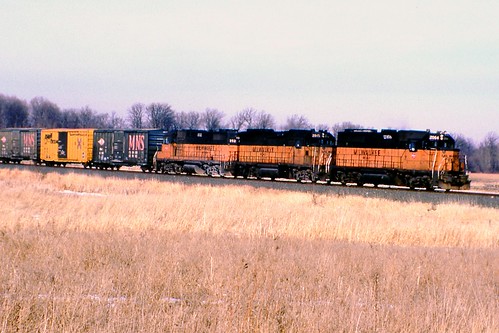
Pure Milwaukee Road Lashup
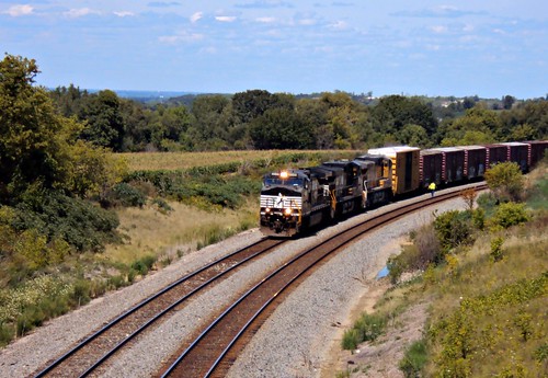
Odd Couple Comin' Down Byron
Matched set
square squareformat iphoneography instagramapp uploaded:by=instagram foursquare:venue=4c2f81f47cc0c9b6a4d6eb9a
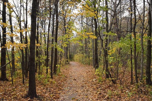
The wooded path through Hobbs Woods.
wisconsin theresa wi eje sd38 elginjolieteastern
L510 EJE 656 Theresa, WI
kb9vghkatyconnell
LCU00330.jpg
wisconsin unitedstates brownsville
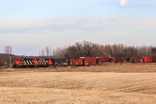
CN 4100 & 4711 | CN L508
What's This?
cn lowlight corn cornfield local localtrain freight canadiannational freighttrain gp9rm cngp9rm cn4028 cn4100
Zebra Twins
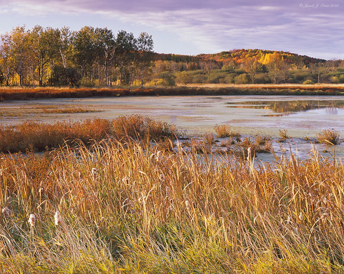
trees water wisconsin clouds composition analog sunrise reflections outdoors landscapes fallcolors hills fujifilm ortiz cokin kettlemorainestateforest northernunit provia100slidefilm colortransparencyfilm shapeandform traditionalphotography mauthelake epsonv750 mamiyarz67professional
Kettle Moraine State Forest - Mauthe Lake #2
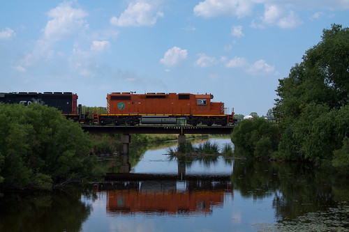
cn train cattails marsh freight canadiannational freighttrain cn2115 theresamarsh theresastationwi
Theresa Station Silo
square squareformat iphoneography instagramapp uploaded:by=instagram foursquare:venue=4cbcc8d0bac93704913cfa7c
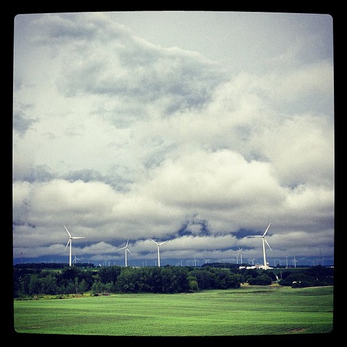
Wind and clouds...