Elevation of Ashford, WI, USA
Location: United States > Wisconsin > Fond Du Lac County >
Longitude: -88.343362
Latitude: 43.5679533
Elevation: 329m / 1079feet
Barometric Pressure: 97KPa
Elevation Map:
Satellite Map:
Related Photos:
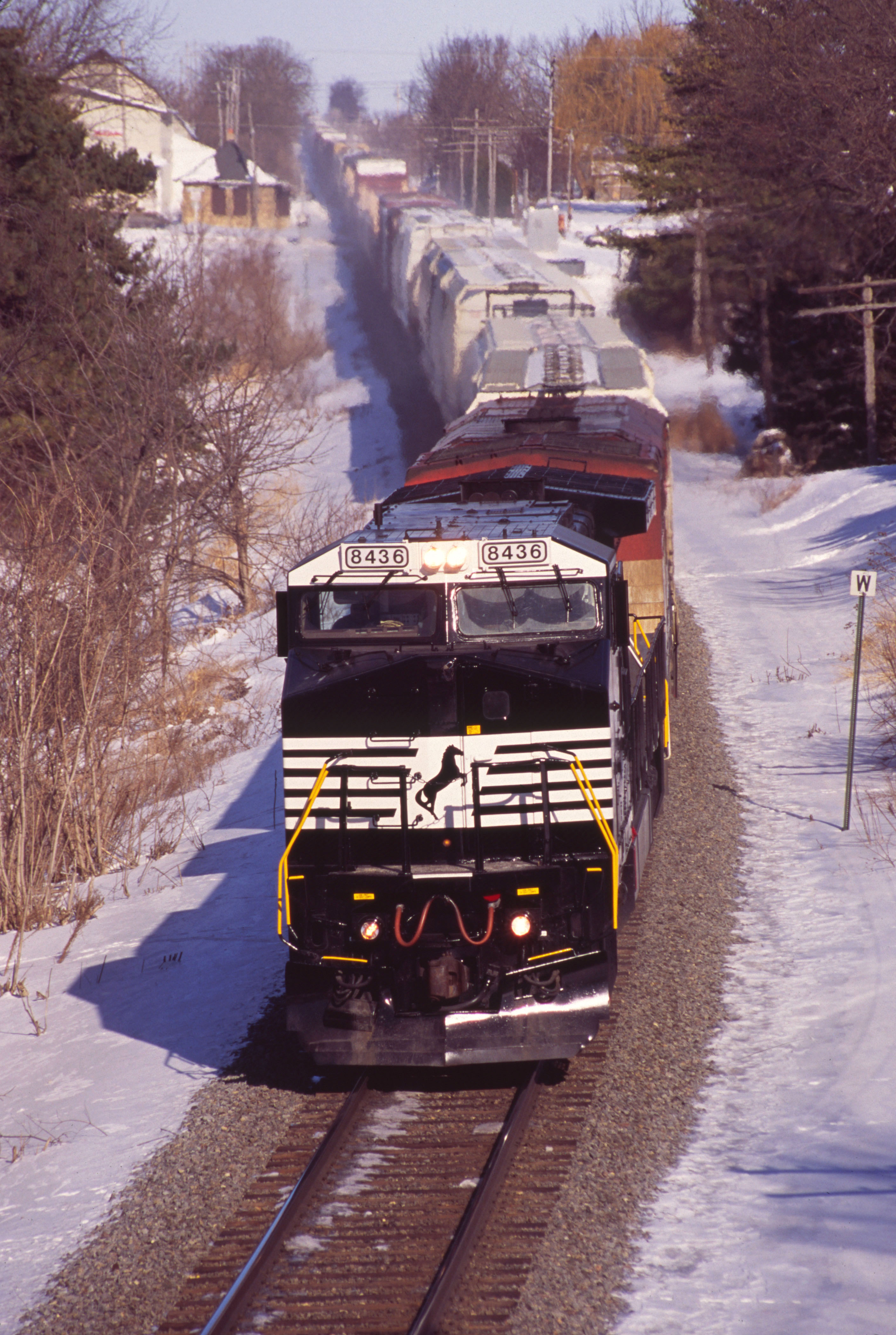
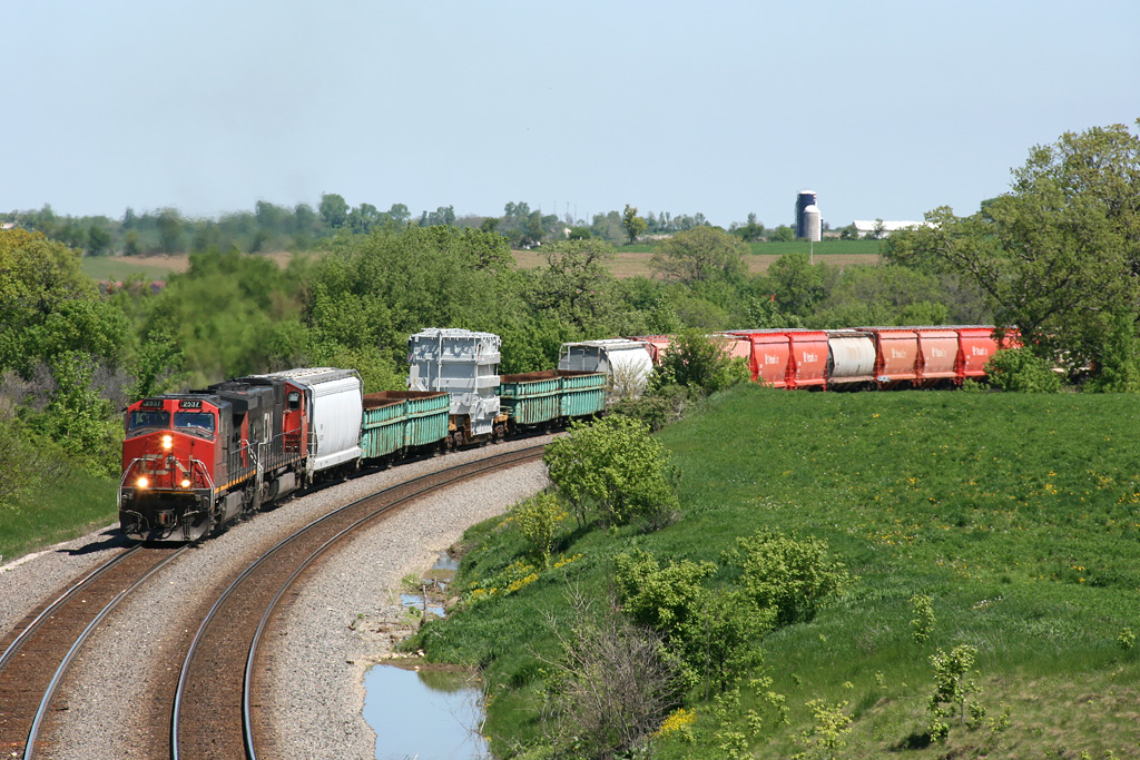
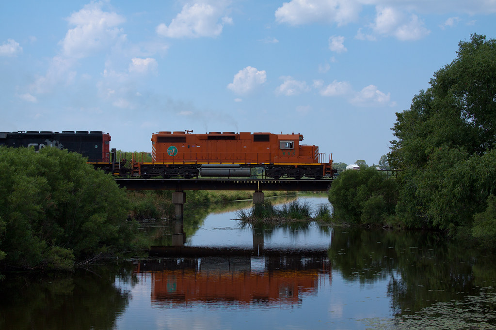
NS 8436 on CN - 1/30/2011
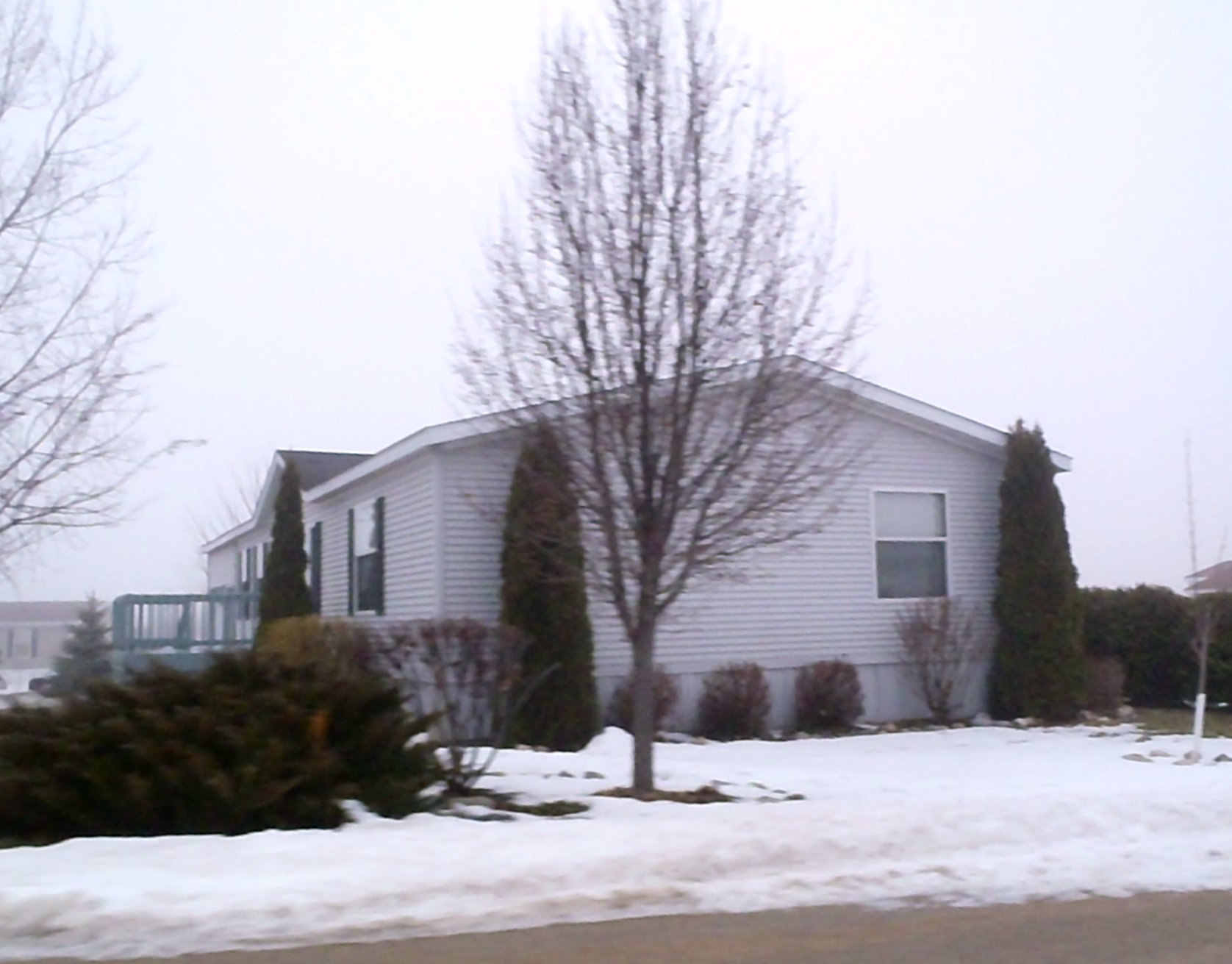
side view of white tailer in Eden, Wisconsin; foggy day P2020181
Ice Age Trail

View west of Kewaskum
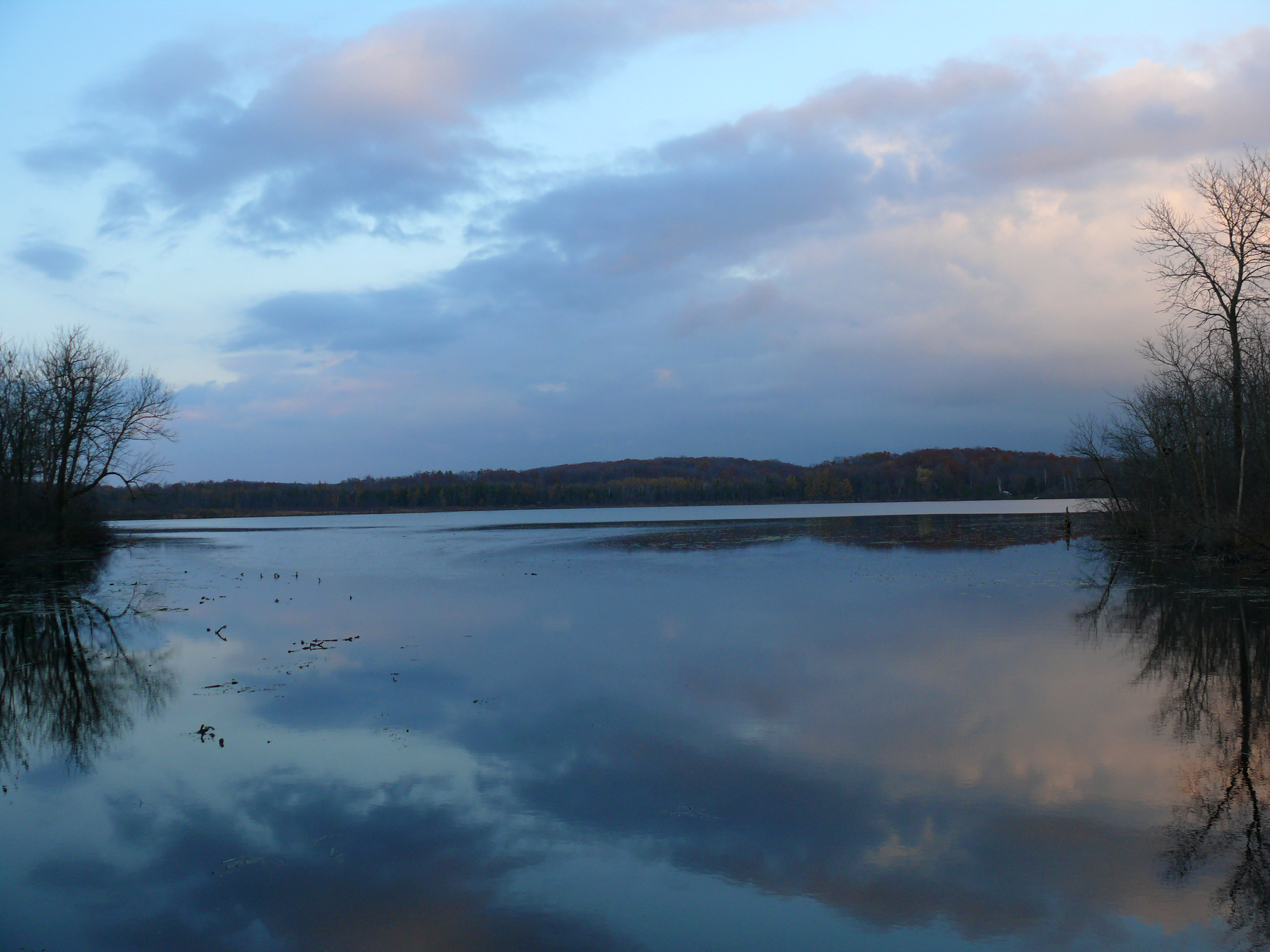
Mauthe Lake View
CTH F

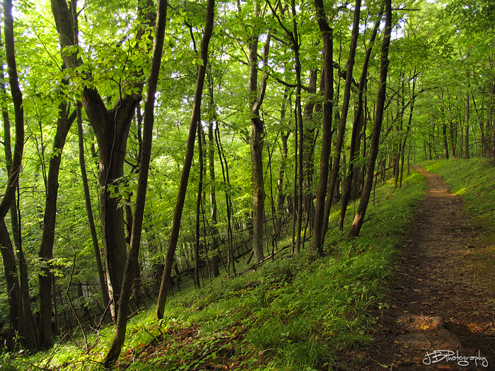
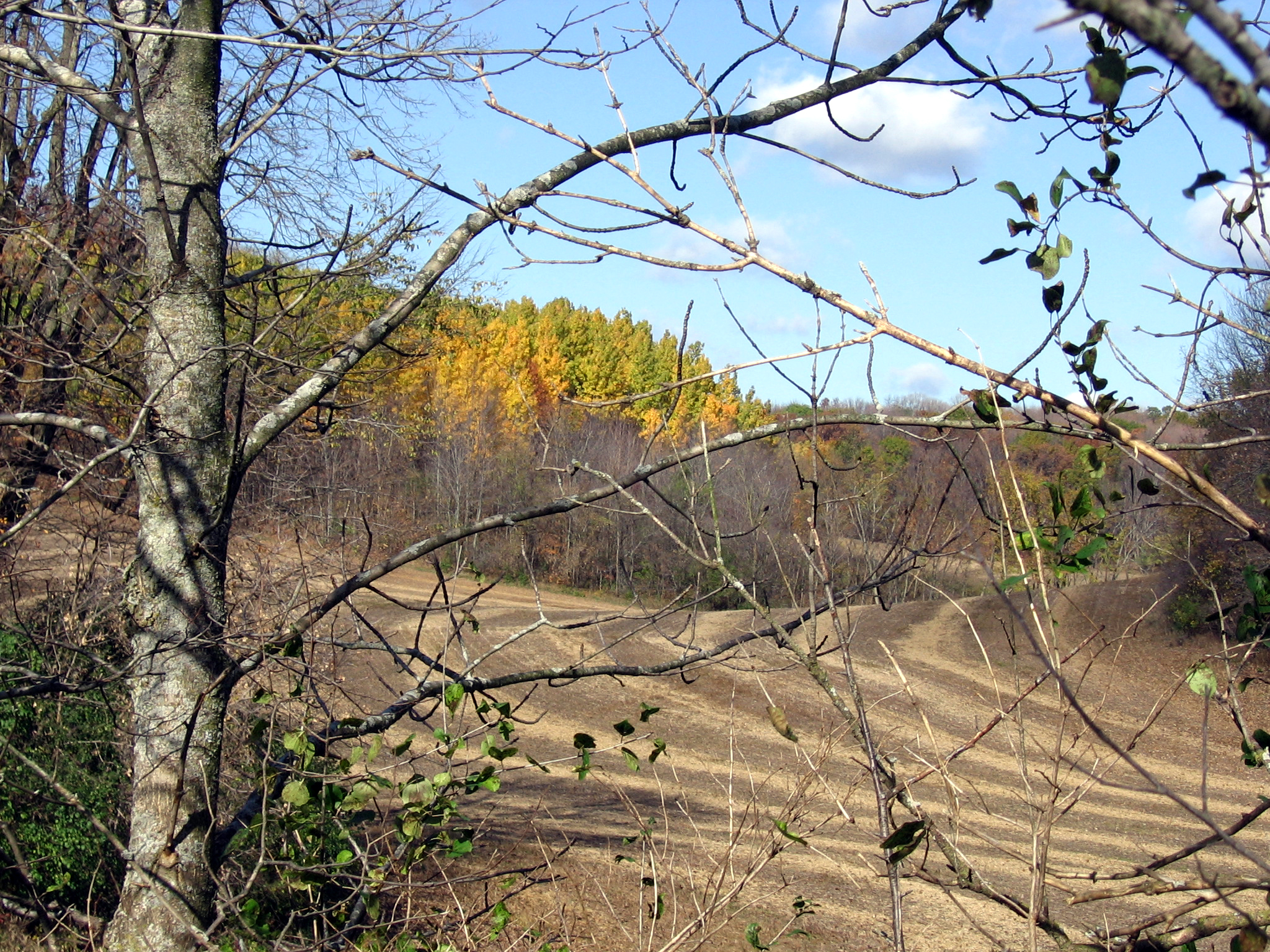
View through trees
Broken Knuckle at Byron
#icecream #viewing #restrooms #sign #outofcontext #unintentionallyfunny #humor #lynnfriedman
Wide lens view of field

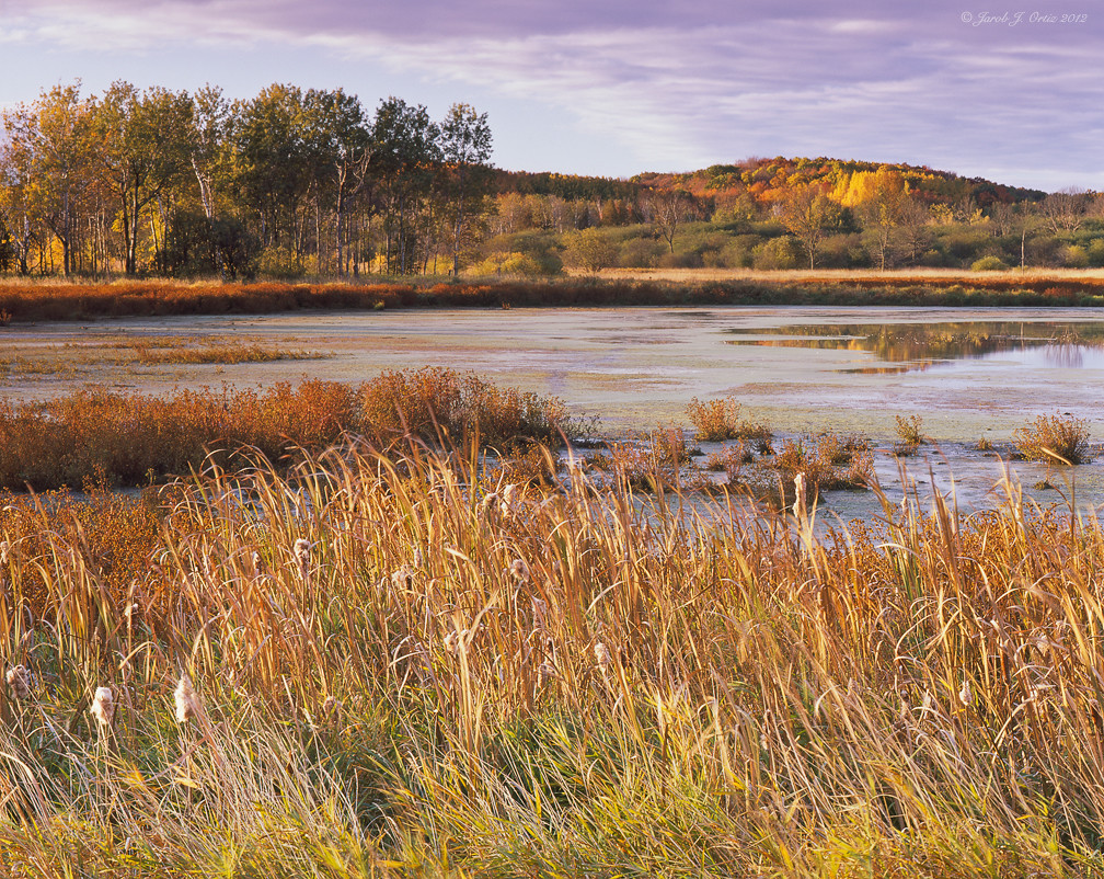
Harvest Time
Distant Poplars #1

first good view of the day

First view of the day
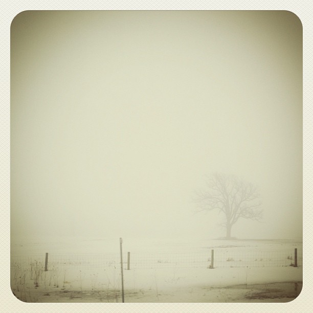
#fog #wisconsn #landscape #monochrome

Brief morning light
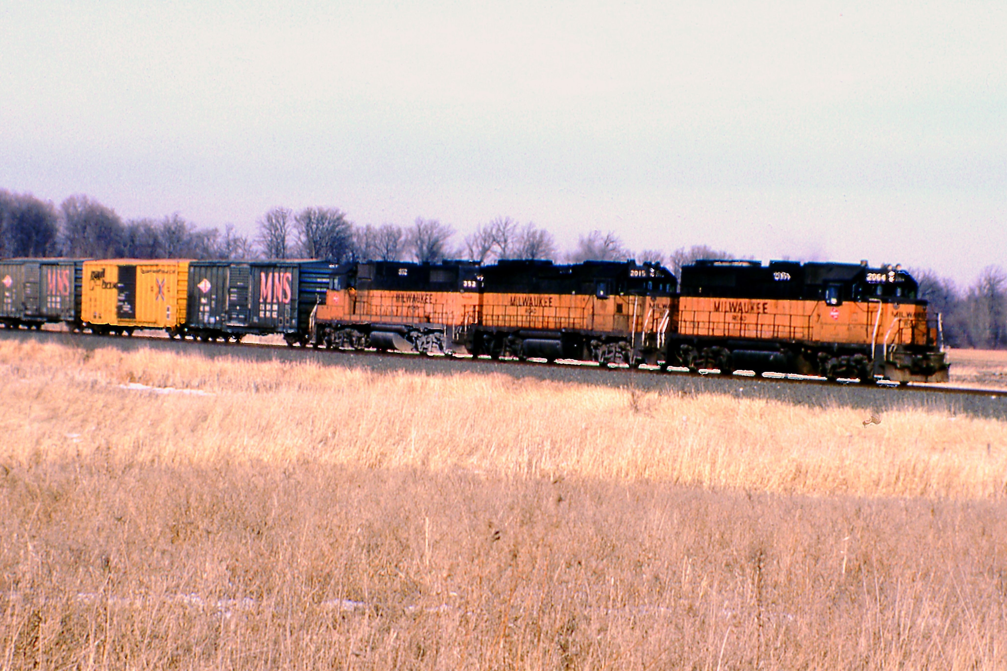
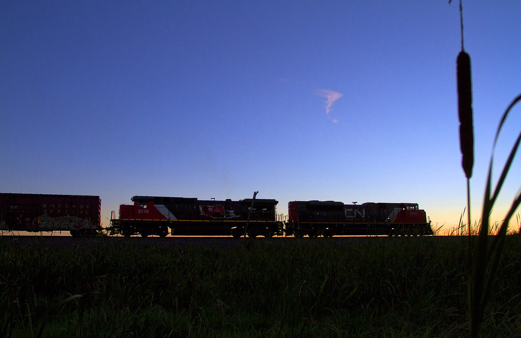
Pure Milwaukee Road Lashup

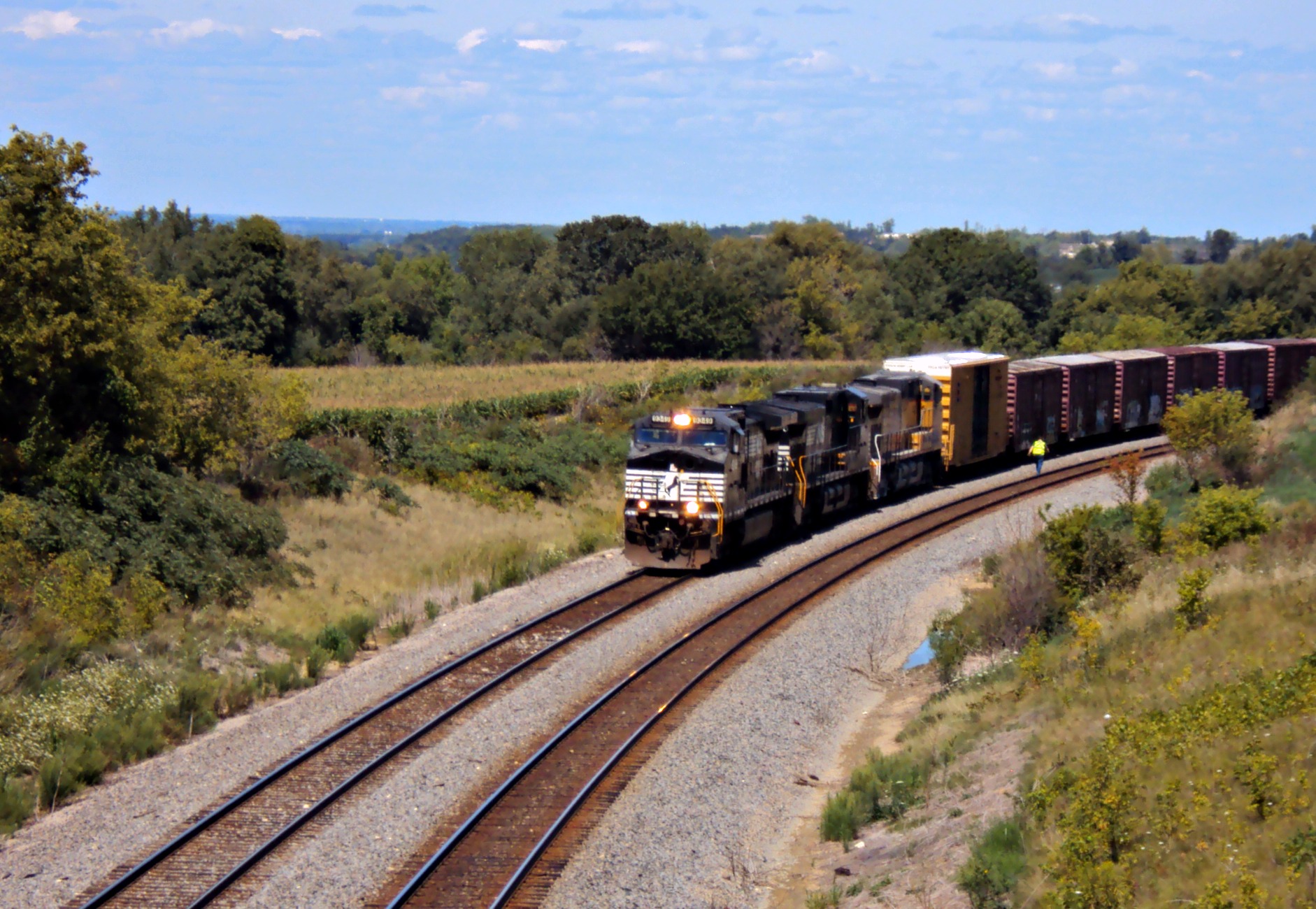
Odd Couple Comin' Down Byron
Matched set
L510 EJE 656 Theresa, WI

LCU00330.jpg

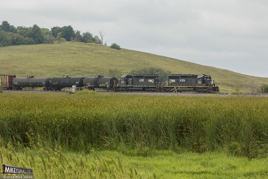
CN 4100 & 4711 | CN L508

What's This?

Zebra Twins
Kettle Moraine State Forest - Mauthe Lake #2
Theresa Station Silo
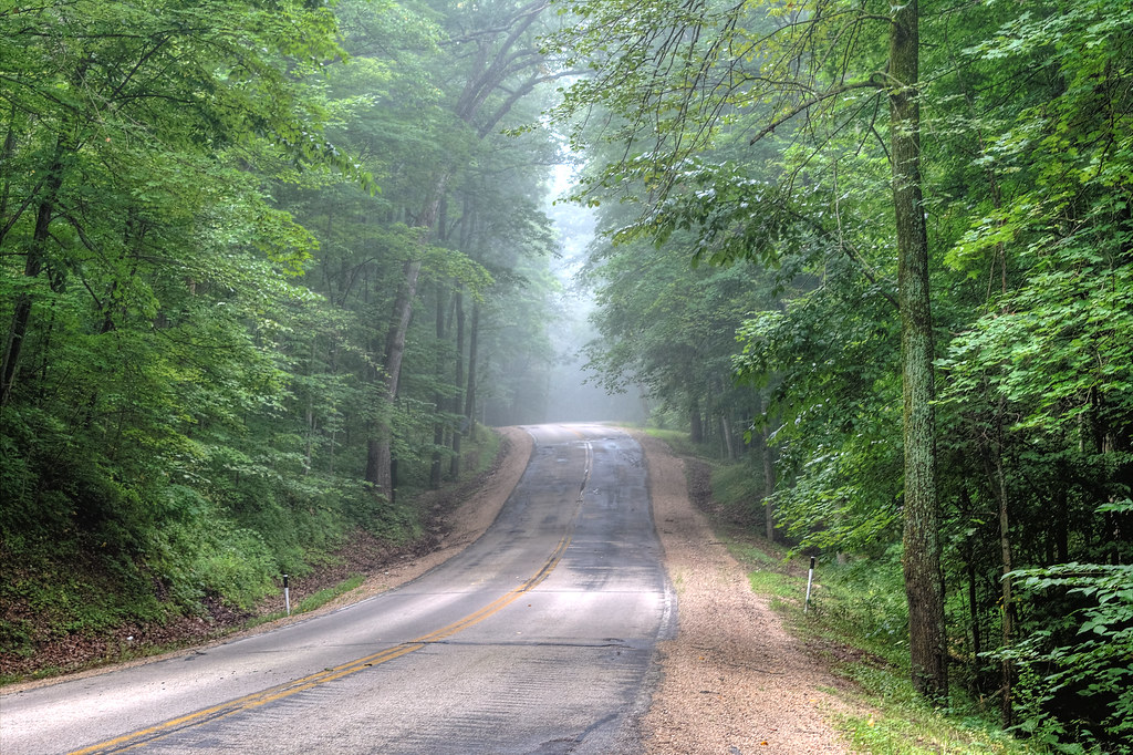
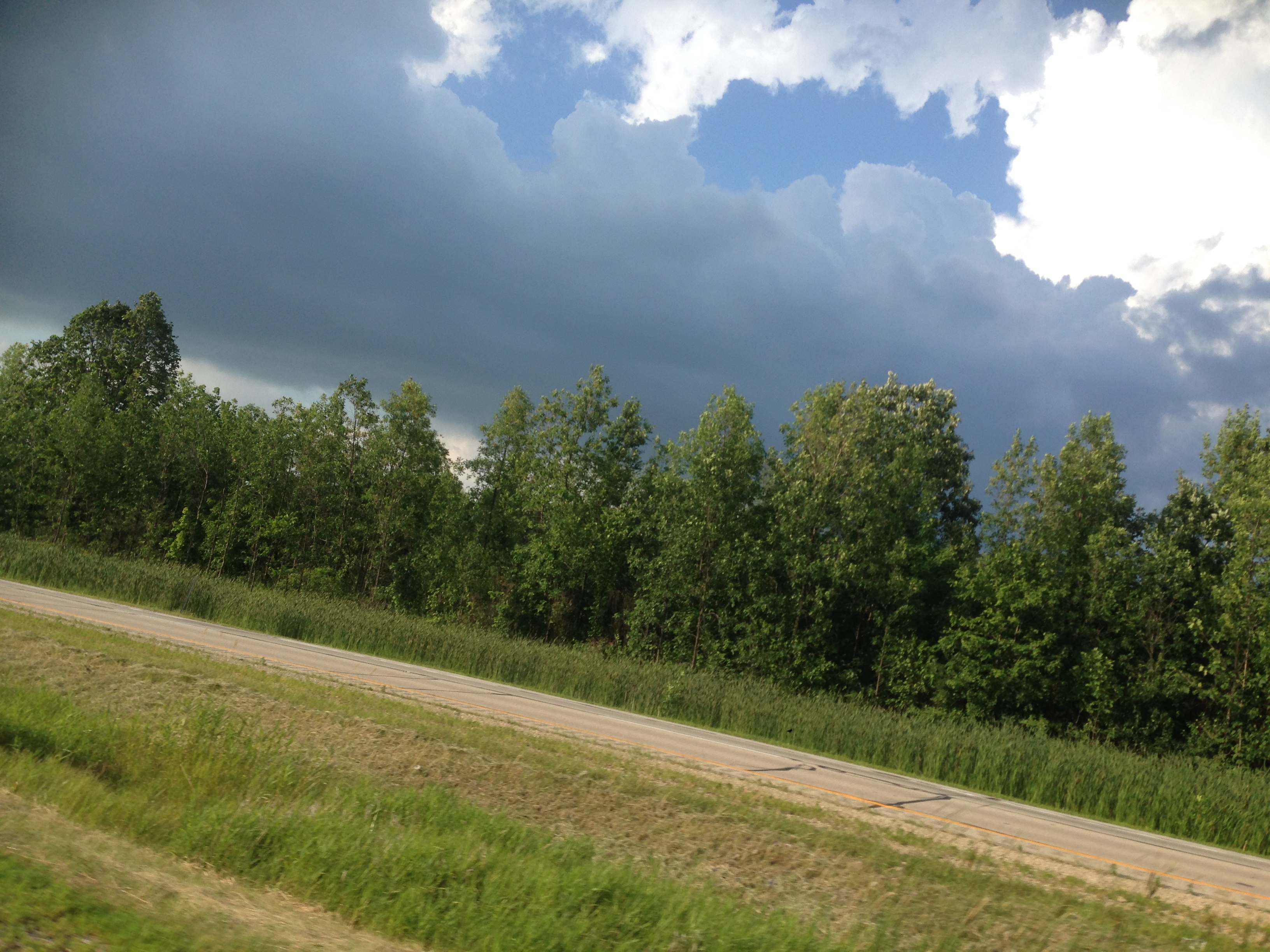
Hazy Highway
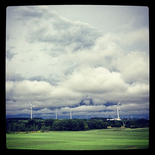
Wind and clouds...

Oi-lympics. #dawnapadrewza6

Good field lookout
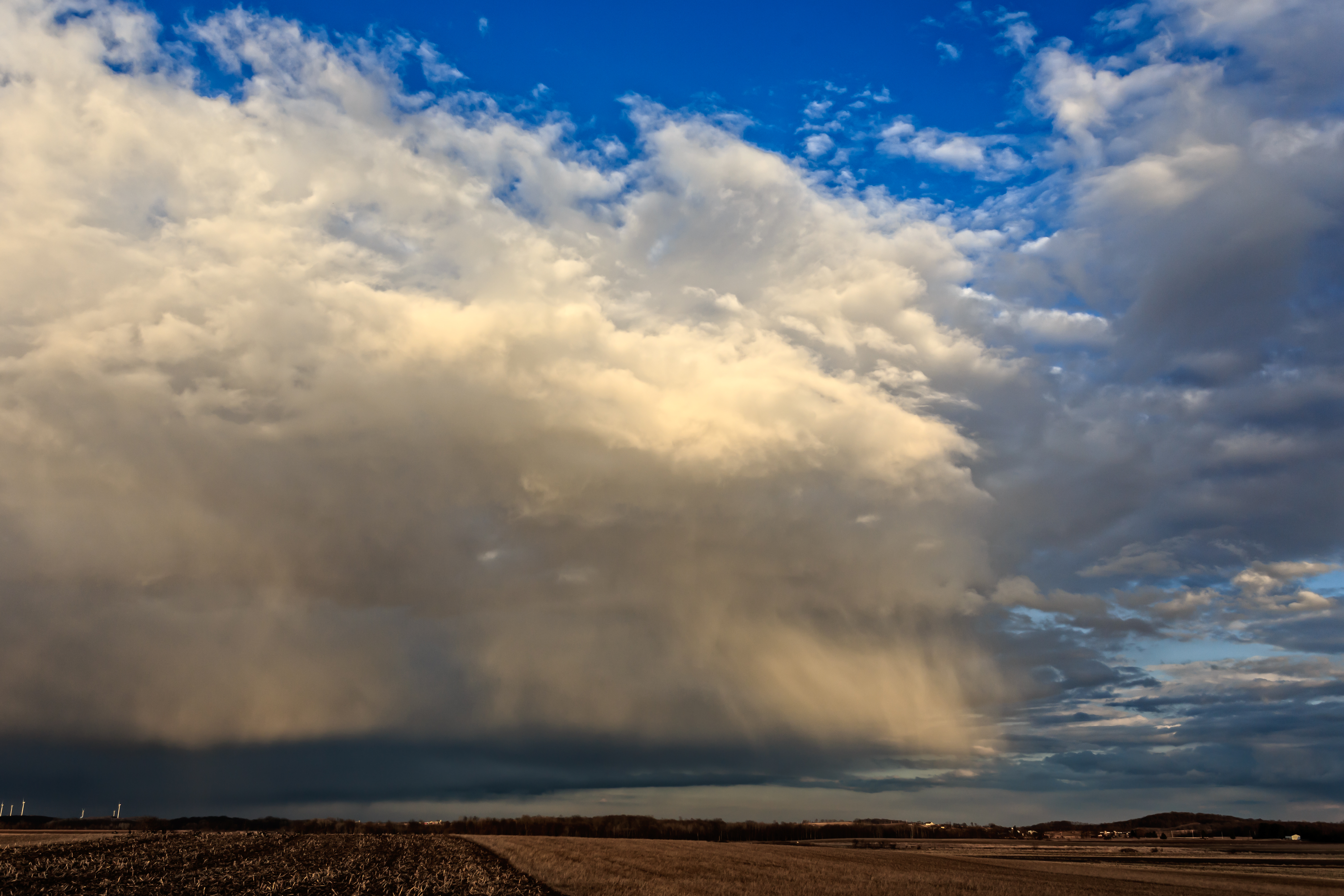
clouds, wisconsin

Sunrise over Cedar Valley
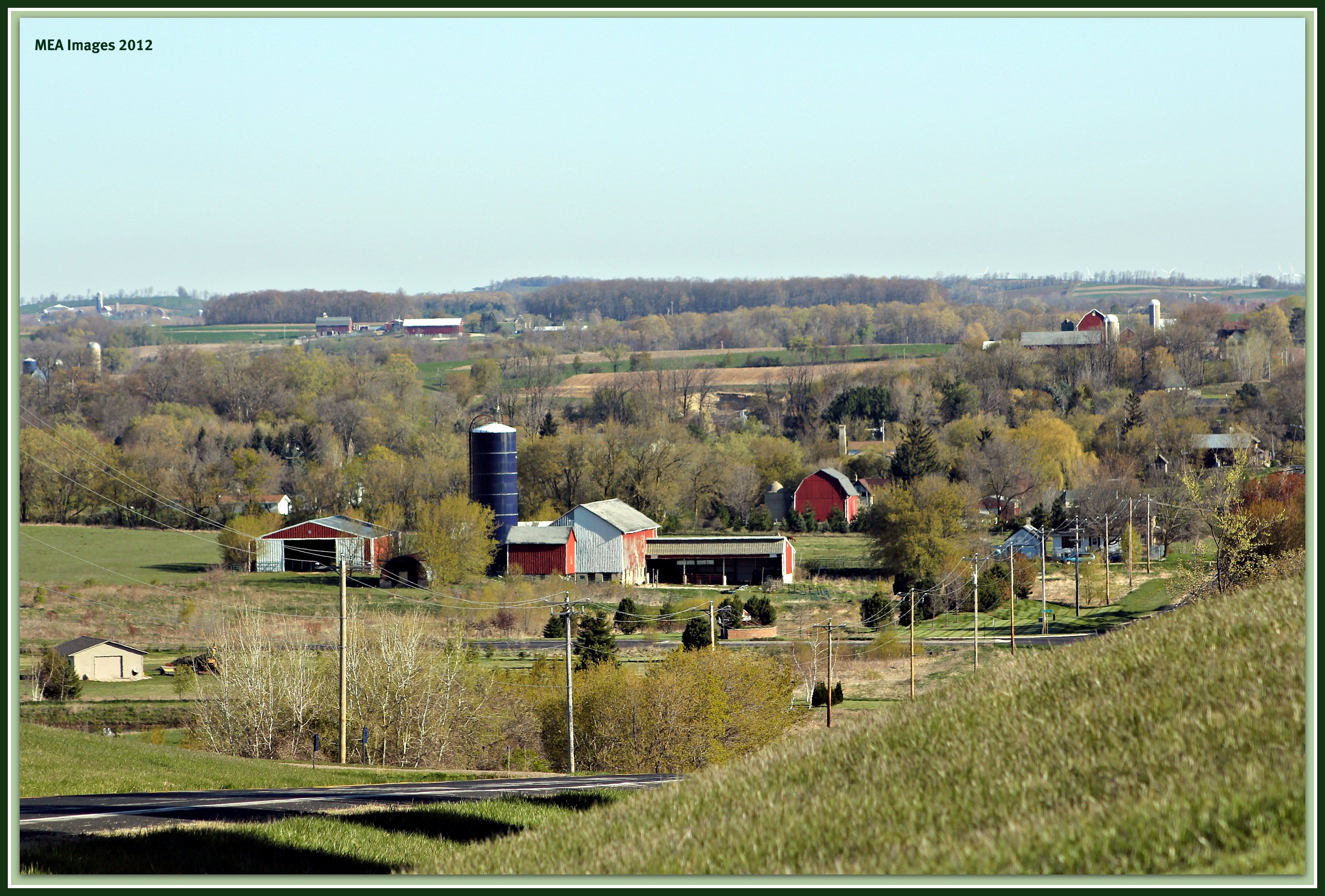
rolling hills
20140408-IMG_6962
Topographic Map of Ashford, WI, USA
Find elevation by address:

Places in Ashford, WI, USA:
Places near Ashford, WI, USA:
Contour Lane
N110
W4286
Ashford
3028 Elmore Dr
W2939
County Rd W, Allenton, WI, USA
N543 Hillside Ct
Wayne
County Rd W, West Bend, WI, USA
Theresa
WI-, Theresa, WI, USA
WI-, Allenton, WI, USA
Aurora Rd, West Bend, WI, USA
Allenton
Lomira
W2179
S Main St, Mayville, WI, USA
Mayville
W2810
Recent Searches:
- Elevation of Corso Fratelli Cairoli, 35, Macerata MC, Italy
- Elevation of Tallevast Rd, Sarasota, FL, USA
- Elevation of 4th St E, Sonoma, CA, USA
- Elevation of Black Hollow Rd, Pennsdale, PA, USA
- Elevation of Oakland Ave, Williamsport, PA, USA
- Elevation of Pedrógão Grande, Portugal
- Elevation of Klee Dr, Martinsburg, WV, USA
- Elevation of Via Roma, Pieranica CR, Italy
- Elevation of Tavkvetili Mountain, Georgia
- Elevation of Hartfords Bluff Cir, Mt Pleasant, SC, USA