Elevation of Allenton, WI, USA
Location: United States > Wisconsin > Washington County > Addison >
Longitude: -88.341495
Latitude: 43.4211674
Elevation: 291m / 955feet
Barometric Pressure: 98KPa
Elevation Map:
Satellite Map:
Related Photos:

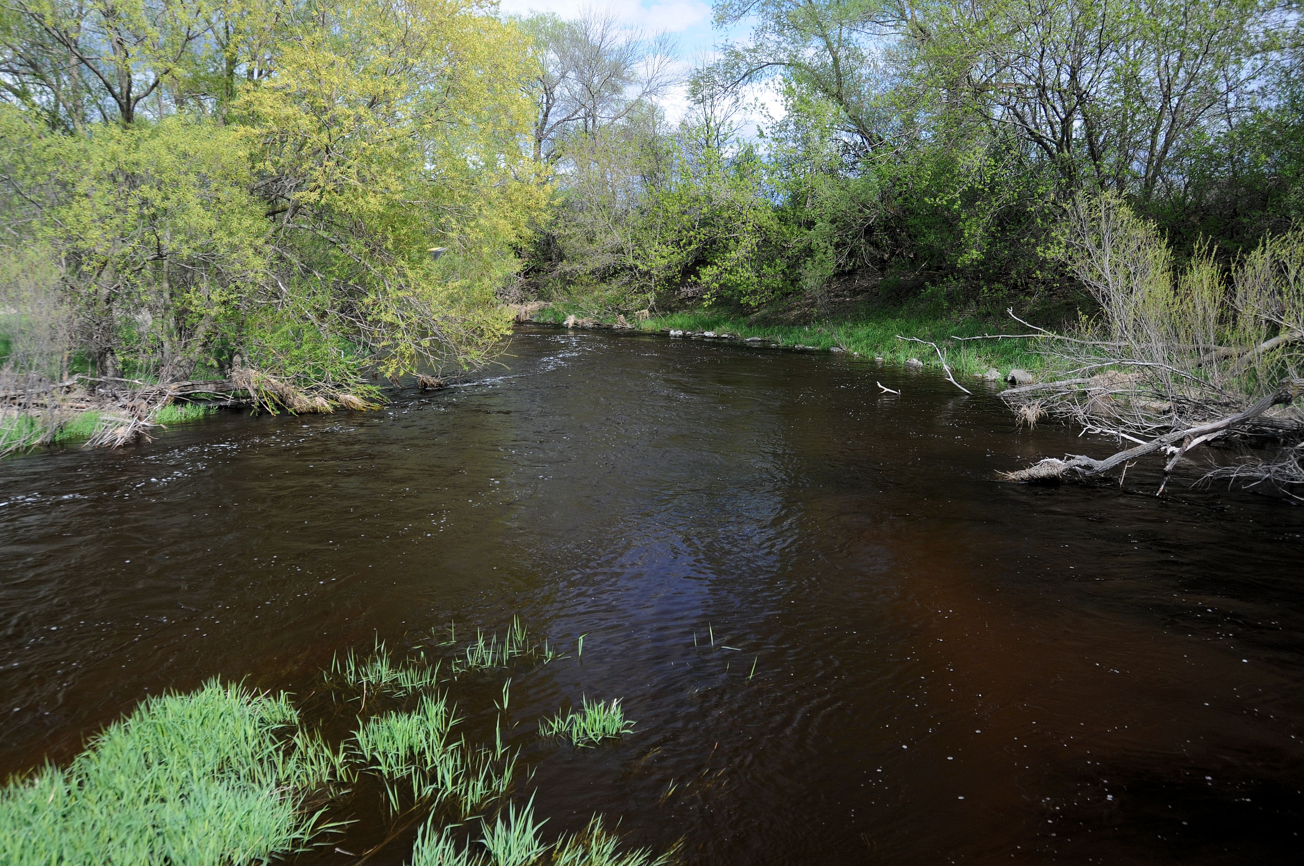
Feeding Frenzy
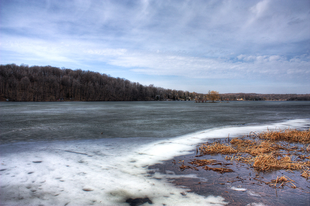
Lake Ice Thaw

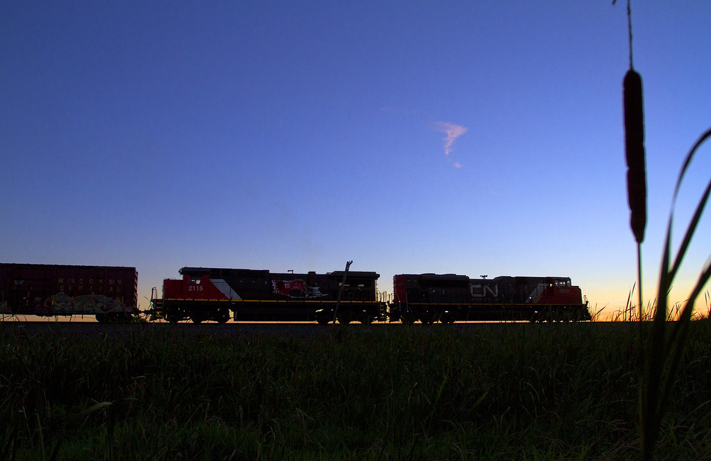
CN 5454, #340, HILLSIDE Xing, SLINGER, WI 11-5-14
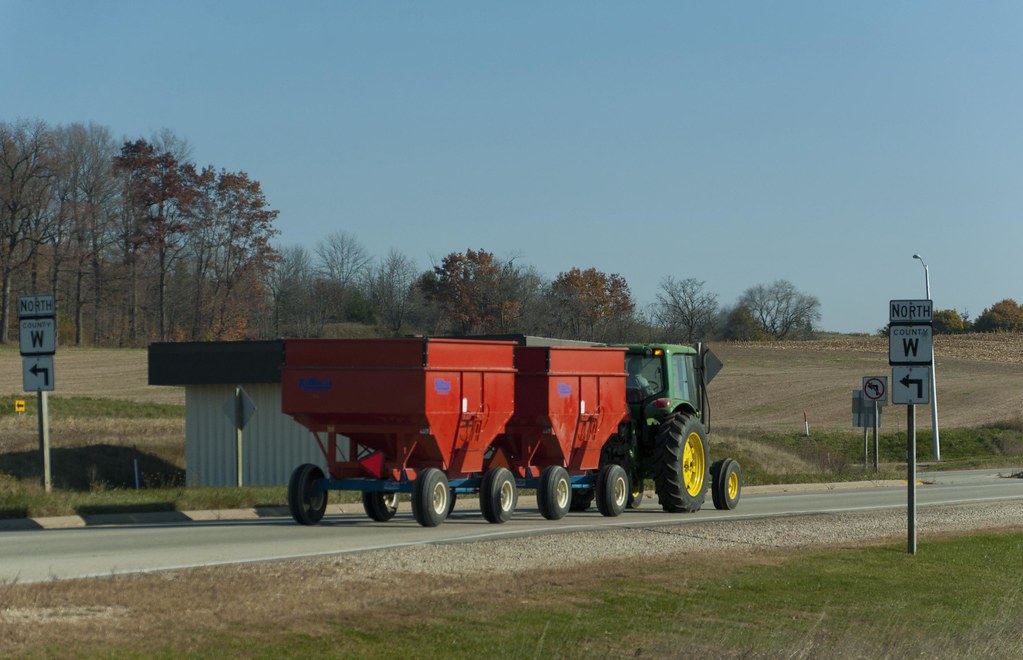
Harvest Time

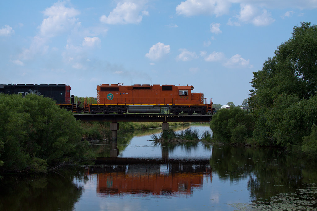
WSOR 4010 Iron Ridge

March Lake Thaw
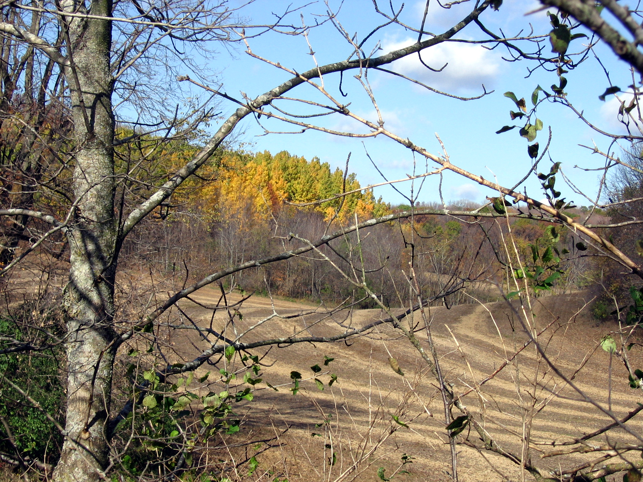
Distant Poplars #1
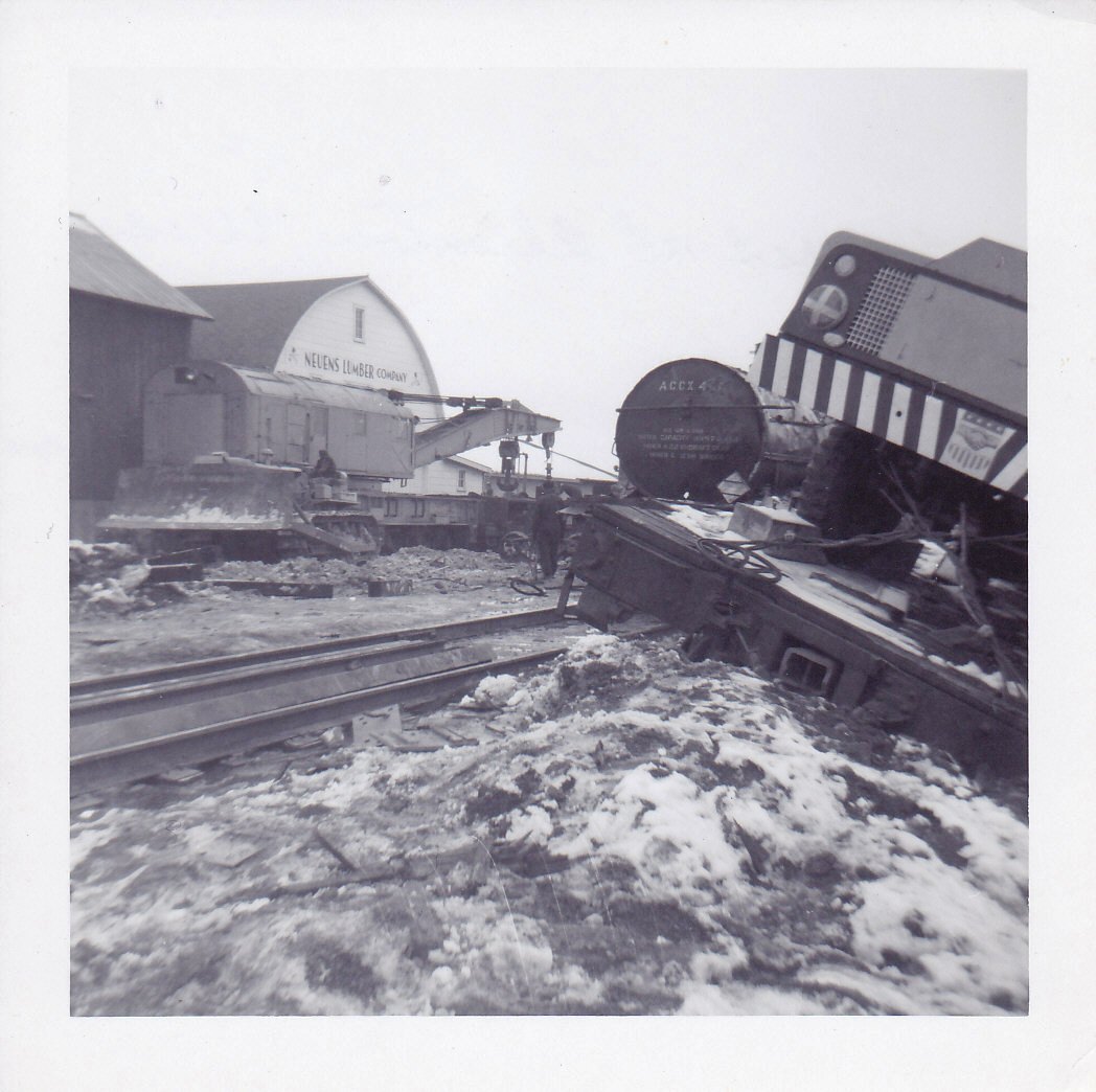
Allenton Wreck--4

Barred Owl

View west of Kewaskum

1914 Kissel Kar 4-40 Semi-Racer Front View
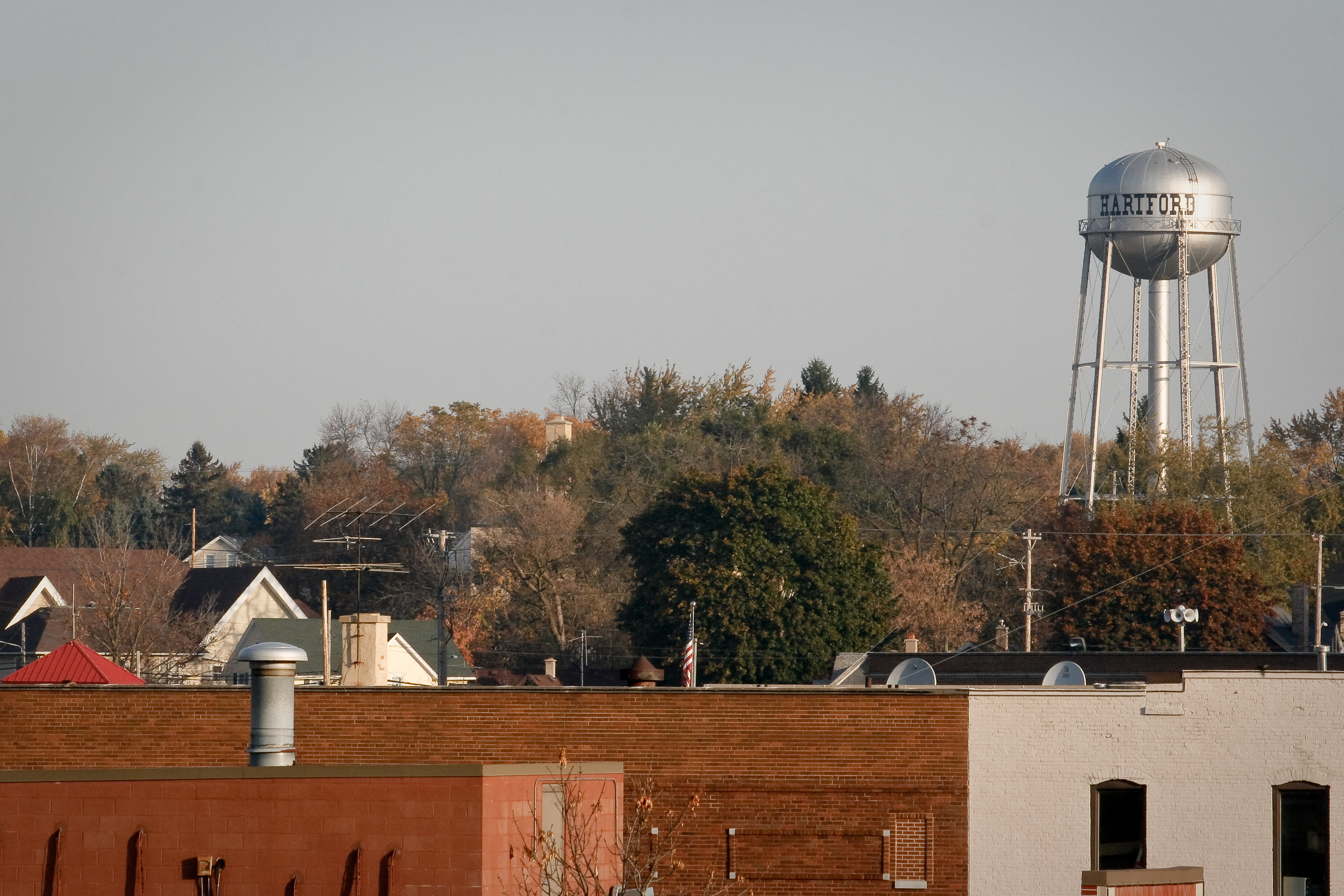
Top of the town

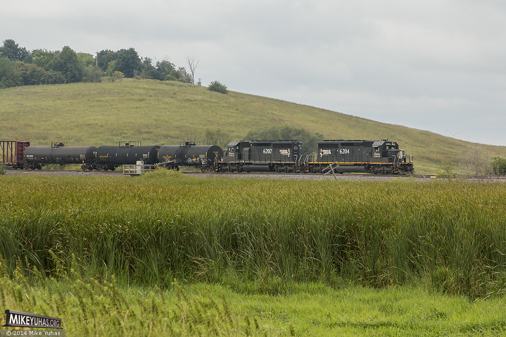
Another view of the NS Dash 8-40CW #8440 leading a southbound freight train onto the main line at Ackerville
The Lake at Lac Lawrann

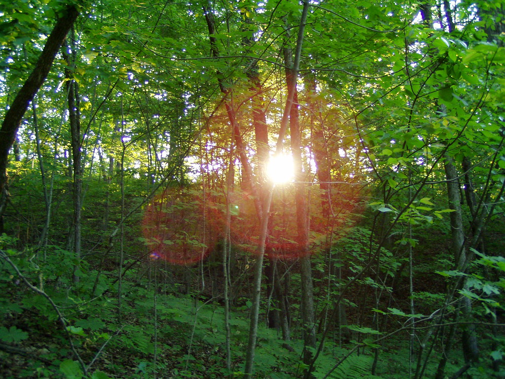
View through trees
New East view Hillside Road - 3

2008 Video of the Year - 6 lap dash (1:17) at Slinger Super Speedway

New East view Hillside Road - 1
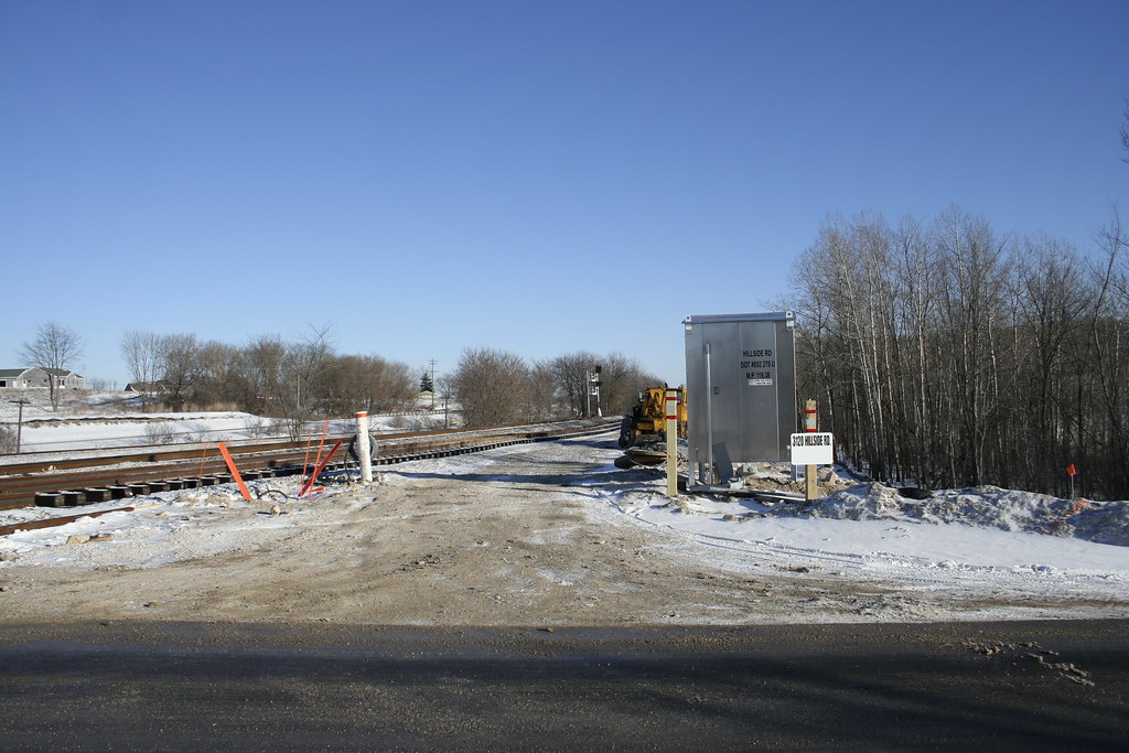
New East view Hillside Road - 2

Barton Pano v4

Small Lake at Glacier Blue Hills
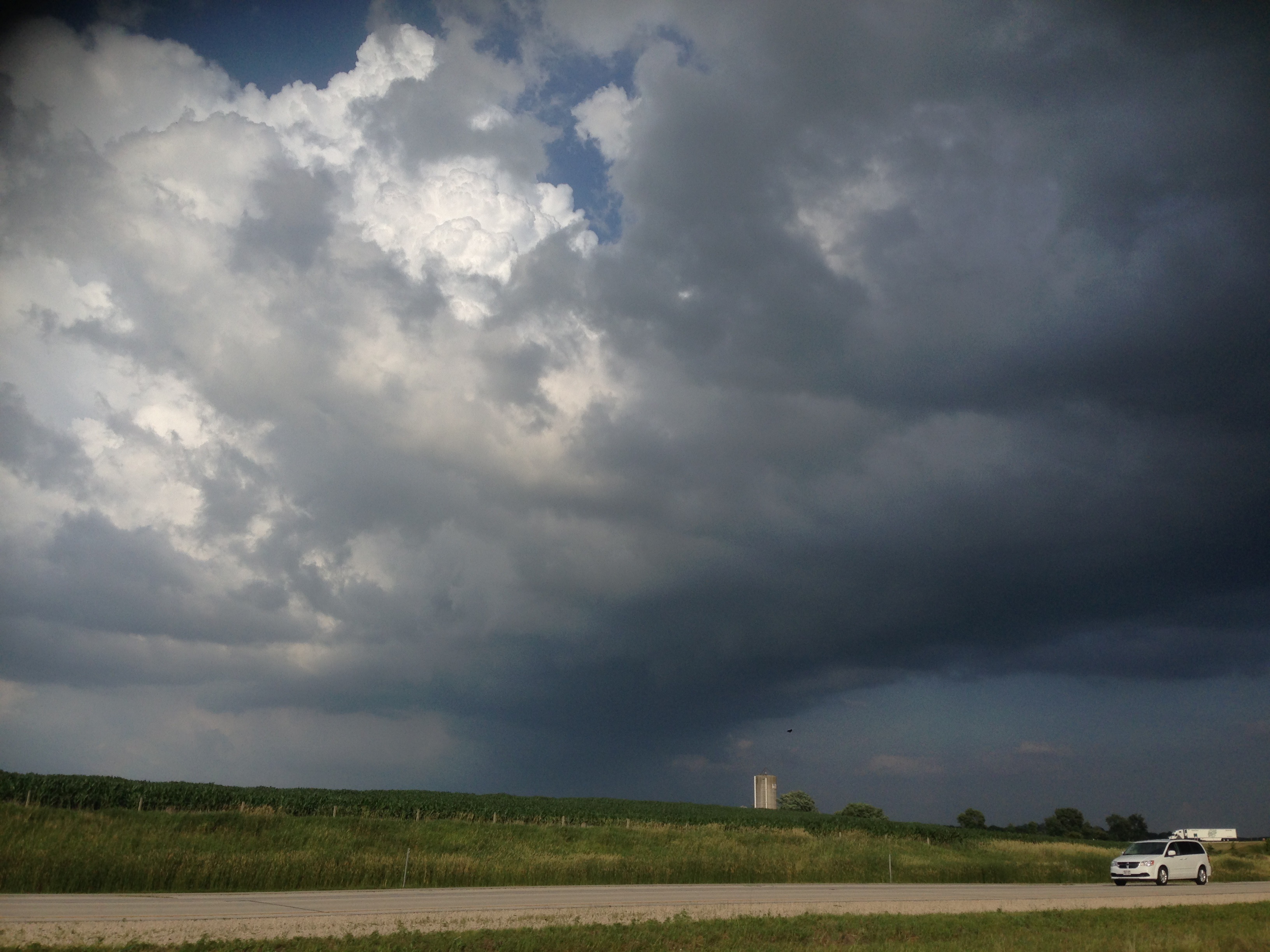
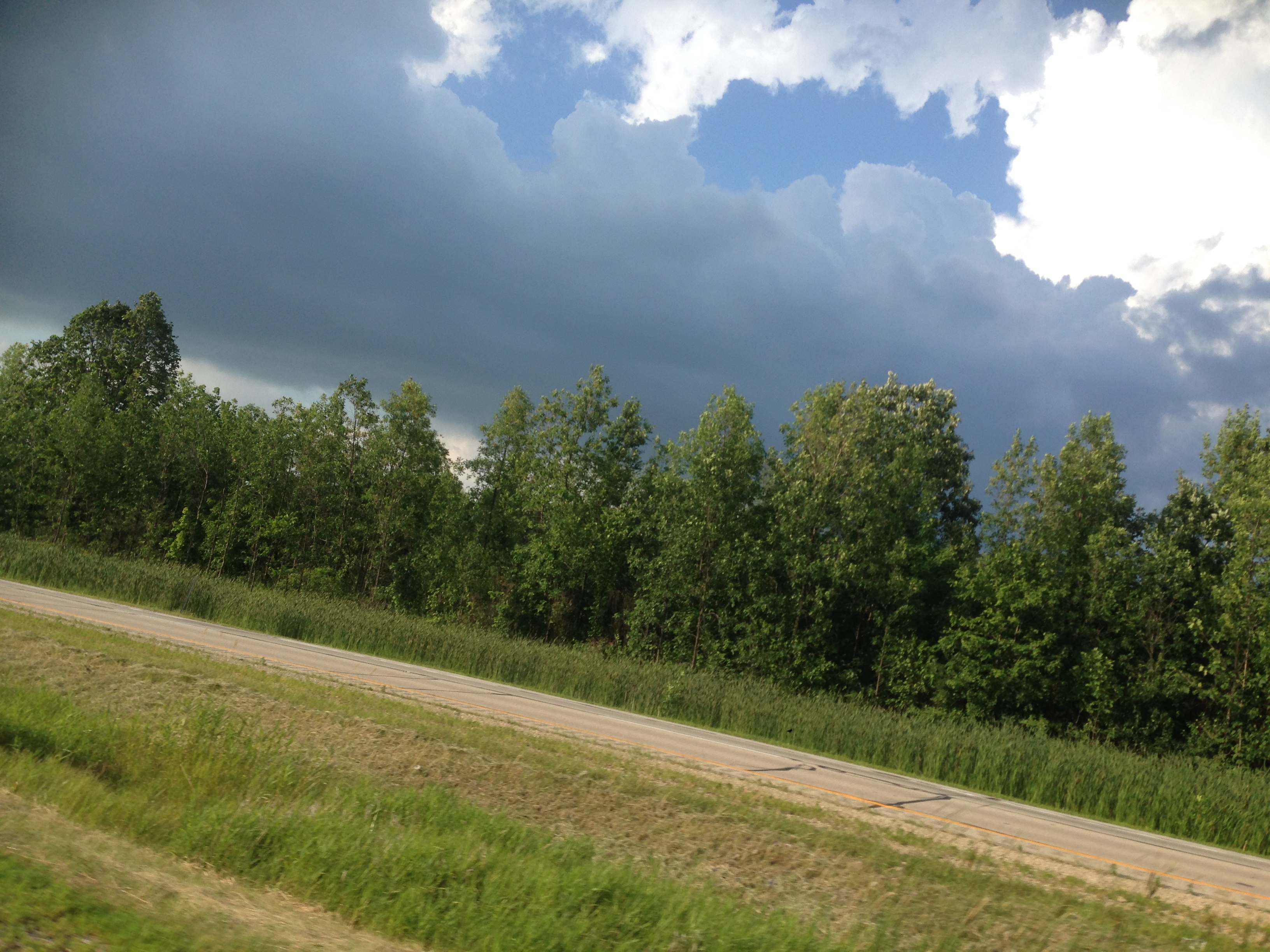
201407 Clouds, Wisconin, Interesting - 03
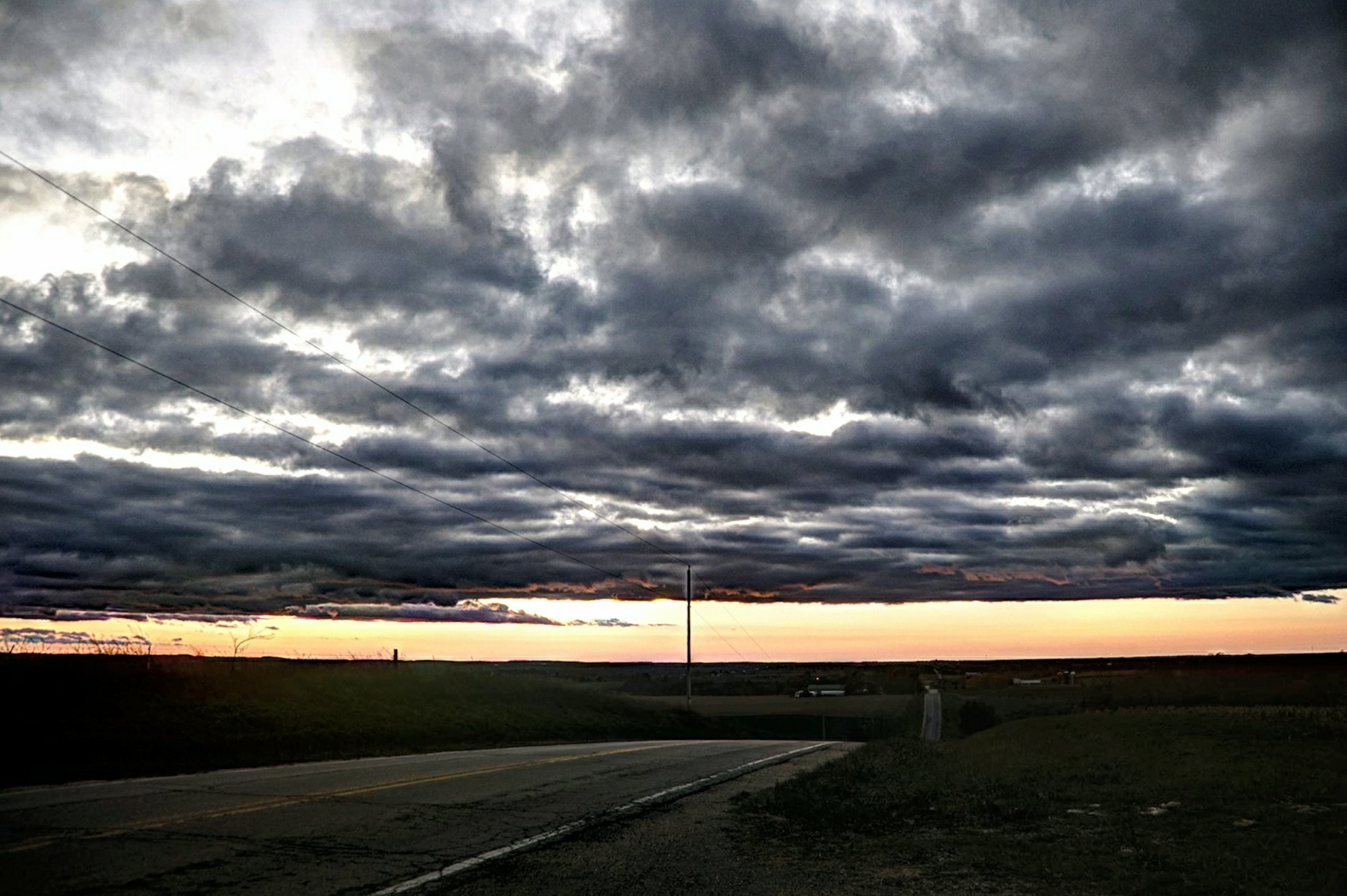
Road to Sundown
#nofilter #wisconsin #littlecedarlake #sunset

Autumn skies (Explored #1)
Wisconsin βουκολικός
Matched set
L510 EJE 656 Theresa, WI
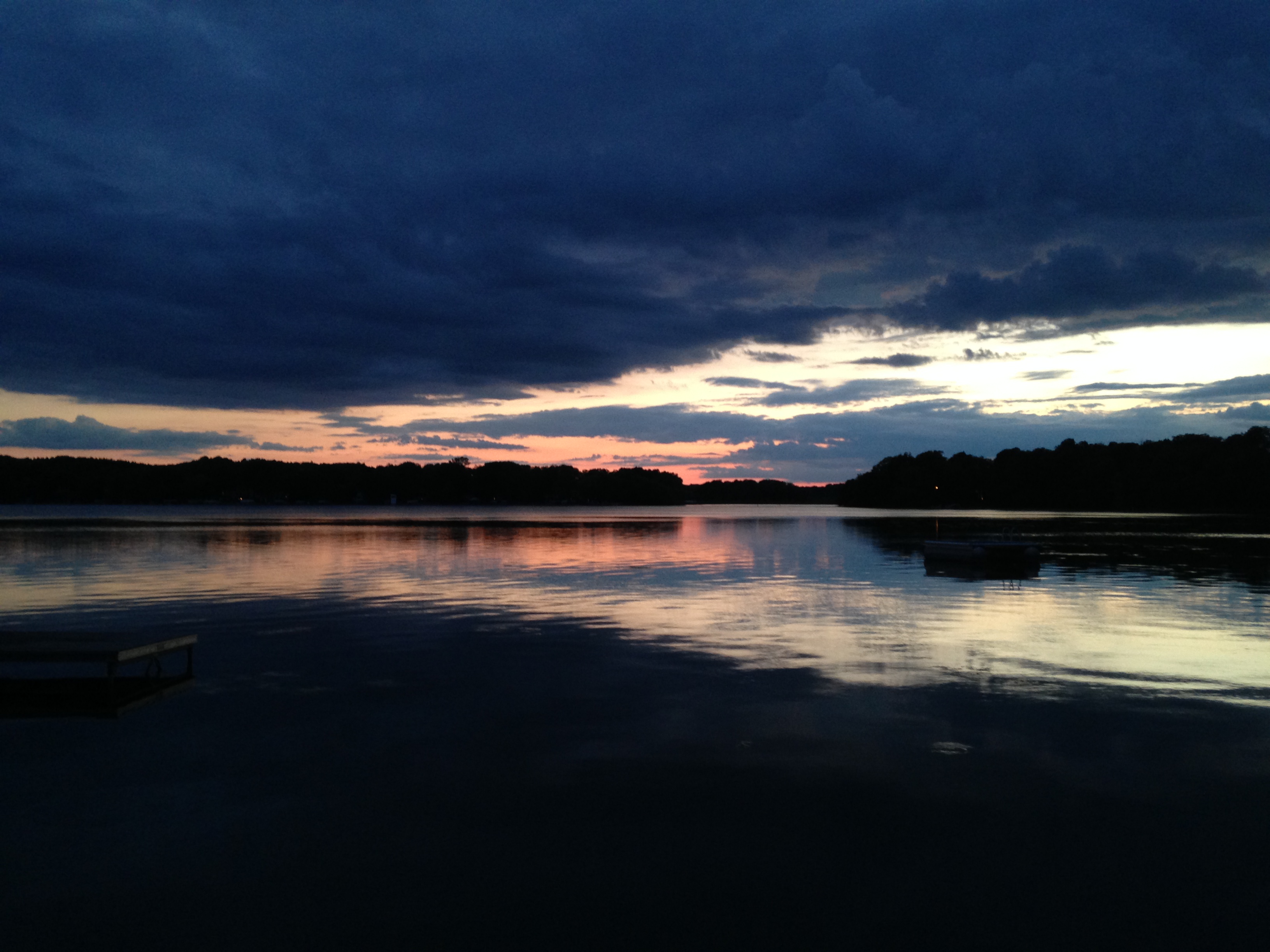
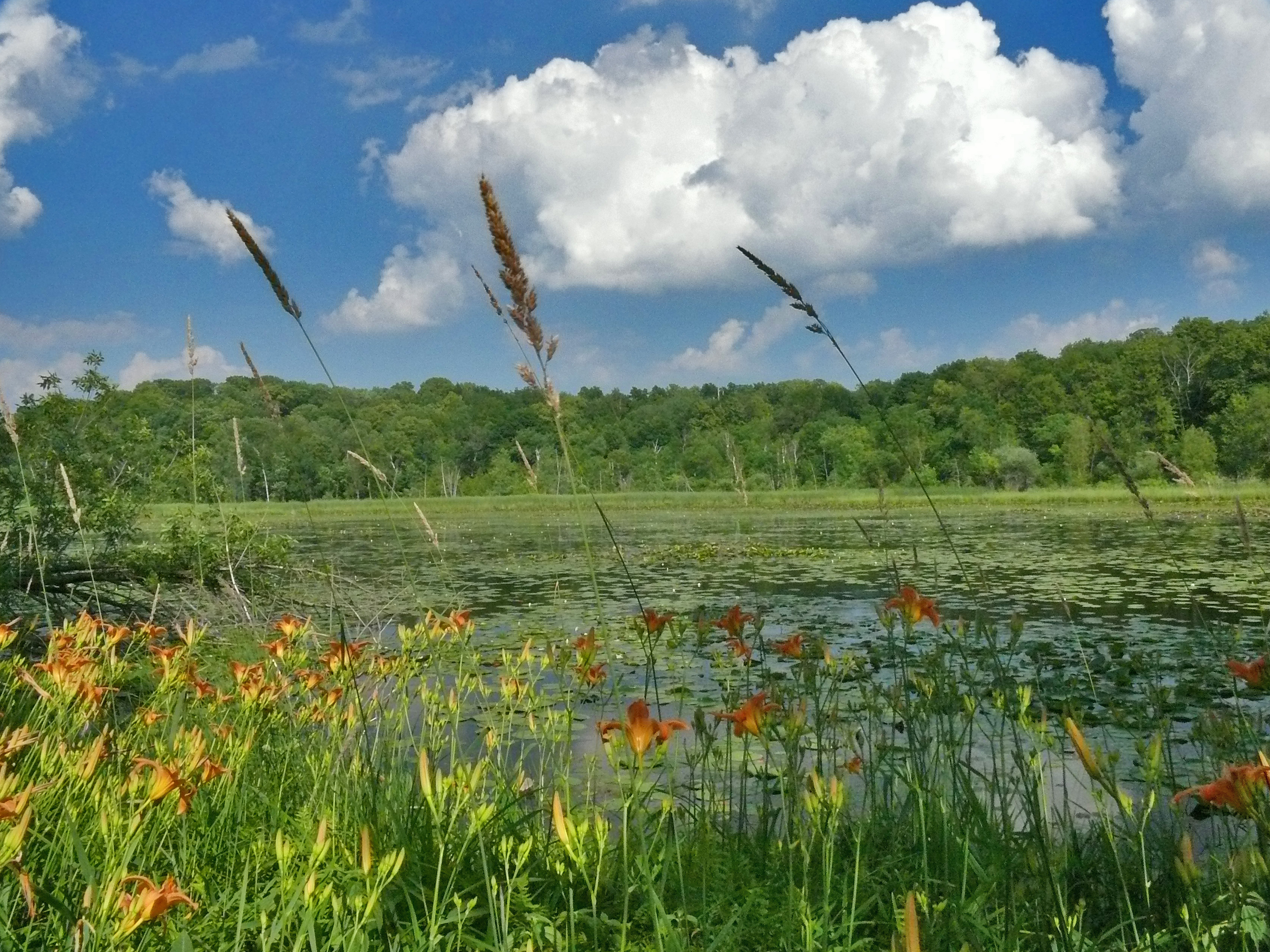
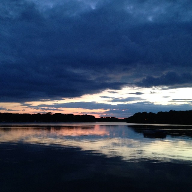
Little Cedar Lake

LCU00330.jpg
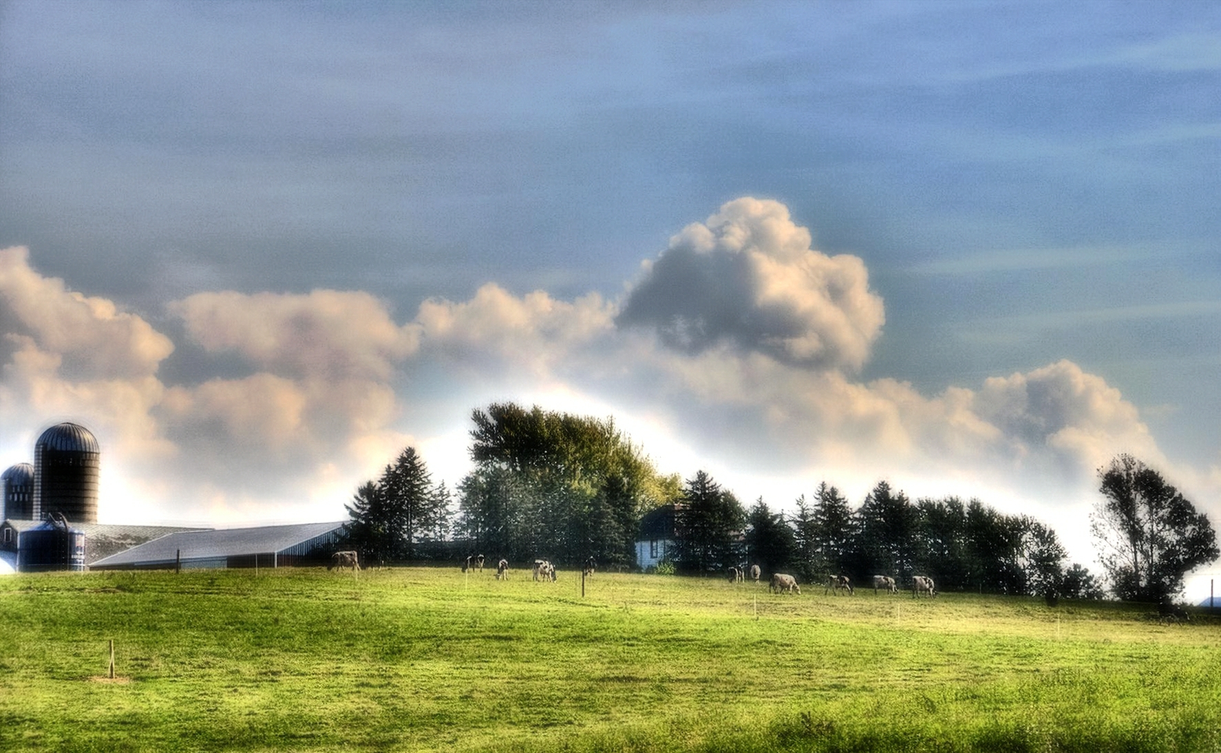
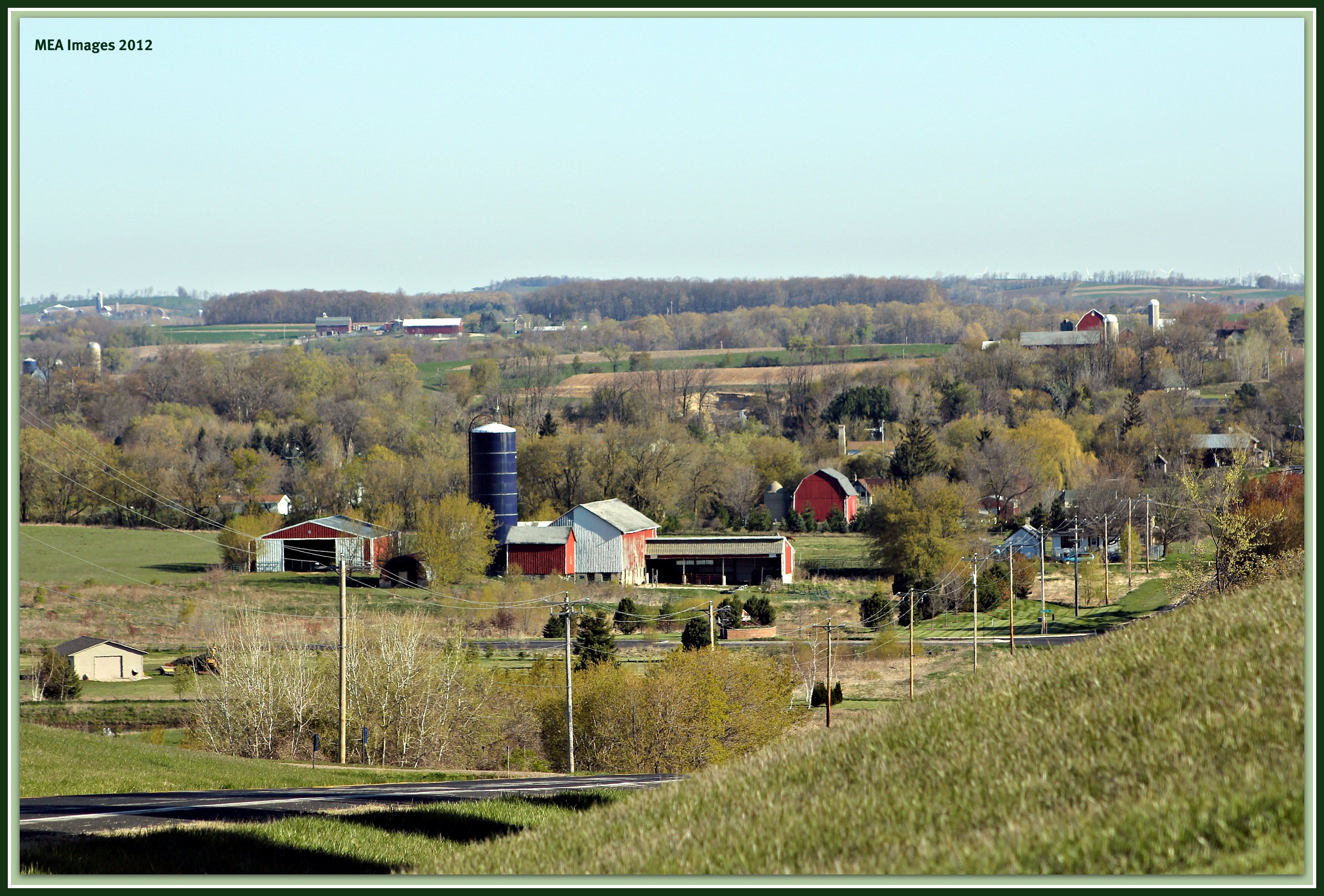
Wisconsin countryside

Wind Farming
2014 Riverside Park
Theresa Station Silo
Ridge Run Co. Park

Oi-lympics. #dawnapadrewza6

Good field lookout

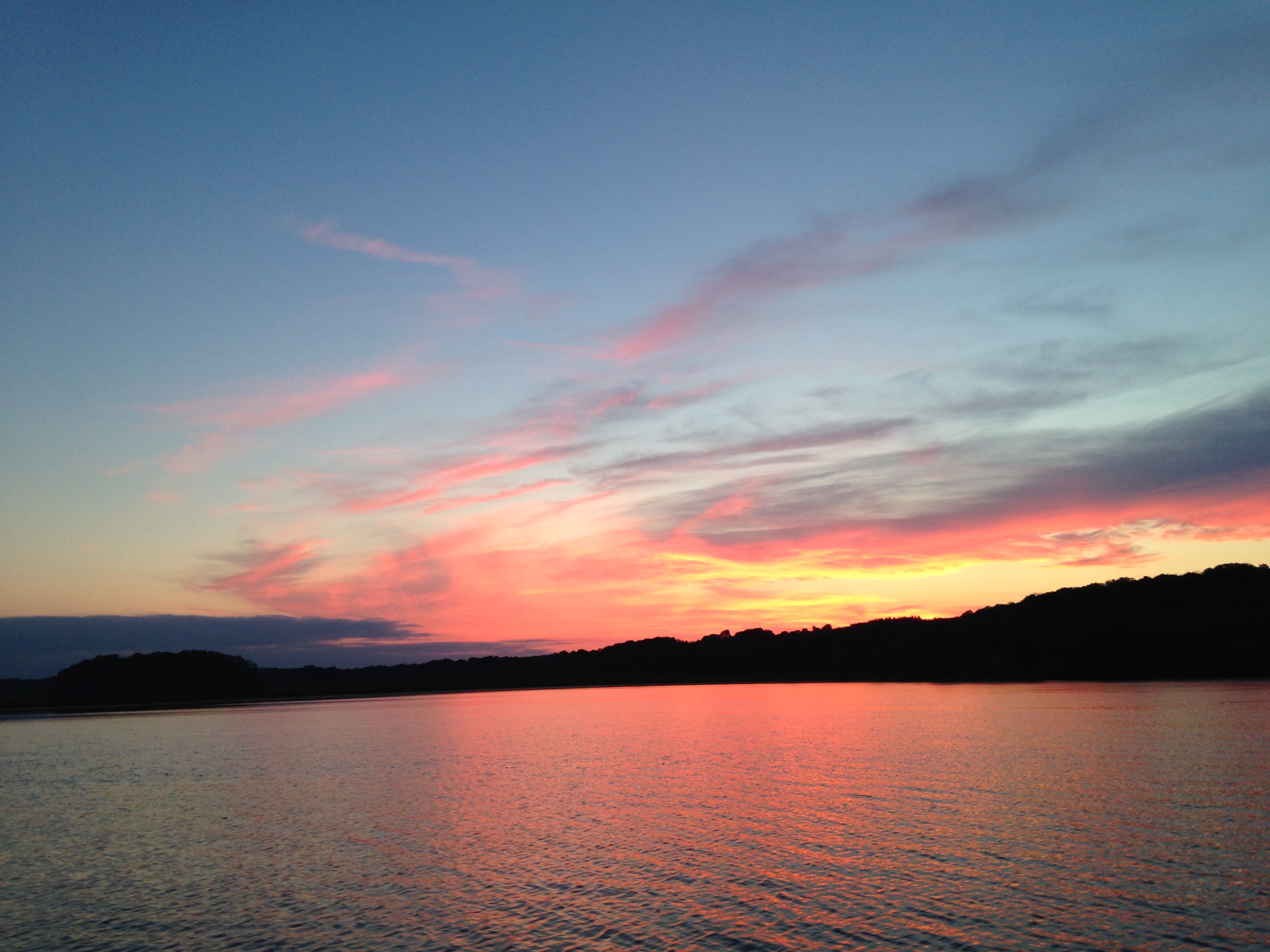
Sunrise over Cedar Valley
Little Cedar Lake
clouds, wisconsin
rolling hills
Topographic Map of Allenton, WI, USA
Find elevation by address:

Places in Allenton, WI, USA:
Places near Allenton, WI, USA:
Aurora Rd, West Bend, WI, USA
County Rd W, West Bend, WI, USA
WI-, Allenton, WI, USA
Wayne
County Rd W, Allenton, WI, USA
N110
Theresa
WI-, Theresa, WI, USA
Ashford
3028 Elmore Dr
N543 Hillside Ct
Contour Lane
W2939
W4286
Ashford
W2810
S Main St, Mayville, WI, USA
Mayville
Lomira
W2179
Recent Searches:
- Elevation of Corso Fratelli Cairoli, 35, Macerata MC, Italy
- Elevation of Tallevast Rd, Sarasota, FL, USA
- Elevation of 4th St E, Sonoma, CA, USA
- Elevation of Black Hollow Rd, Pennsdale, PA, USA
- Elevation of Oakland Ave, Williamsport, PA, USA
- Elevation of Pedrógão Grande, Portugal
- Elevation of Klee Dr, Martinsburg, WV, USA
- Elevation of Via Roma, Pieranica CR, Italy
- Elevation of Tavkvetili Mountain, Georgia
- Elevation of Hartfords Bluff Cir, Mt Pleasant, SC, USA