Elevation of Washita Township, AR, USA
Location: United States > Arkansas > Montgomery County >
Longitude: -93.561026
Latitude: 34.7001366
Elevation: 298m / 978feet
Barometric Pressure: 98KPa
Elevation Map:
Satellite Map:
Related Photos:

IMG_0931

1508

IMG_0049

IMG_0074
092

IMG_0088

Womble Trail, killer #sıngletrack #ridingmybike
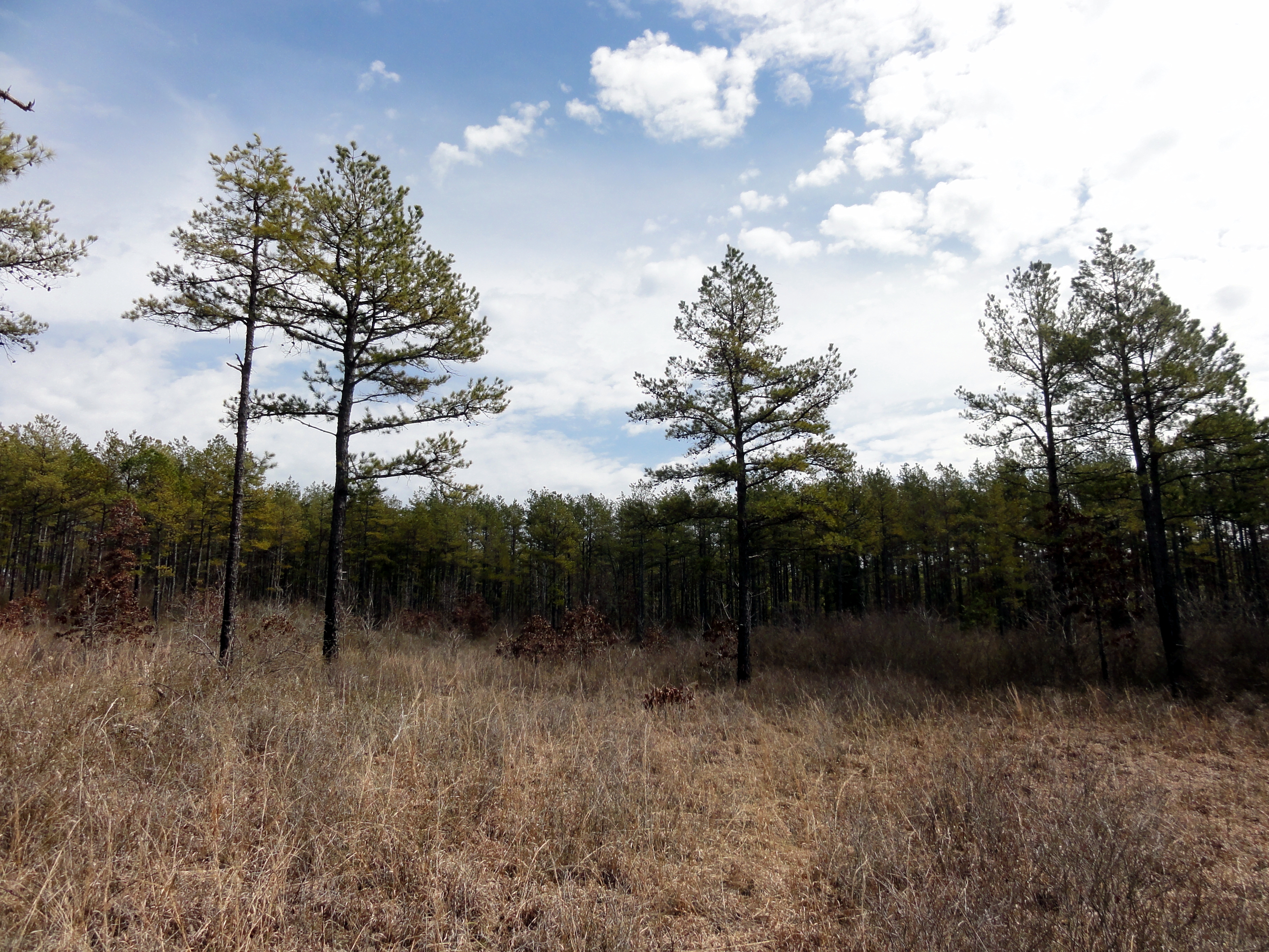
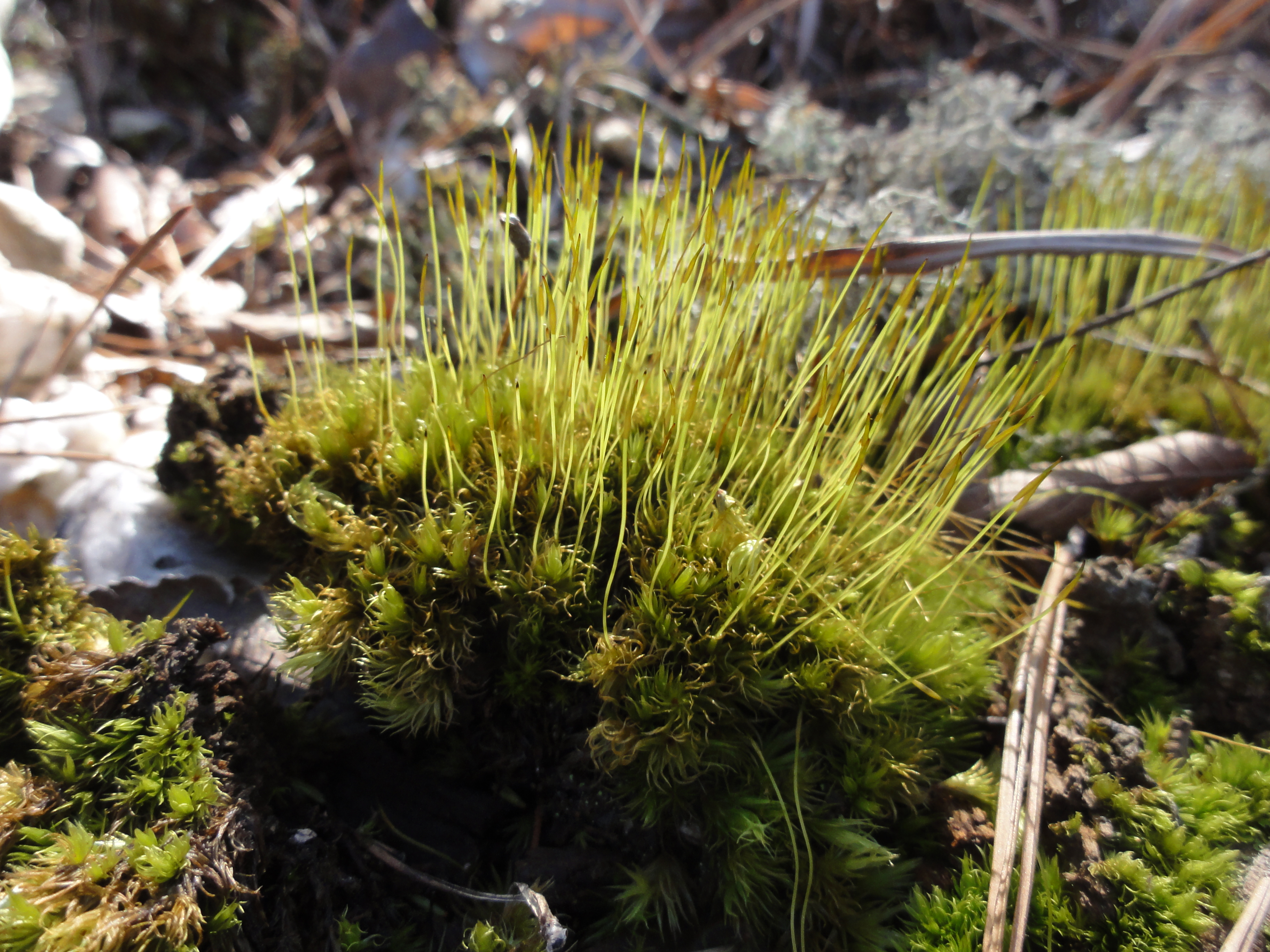
shortleaf pine

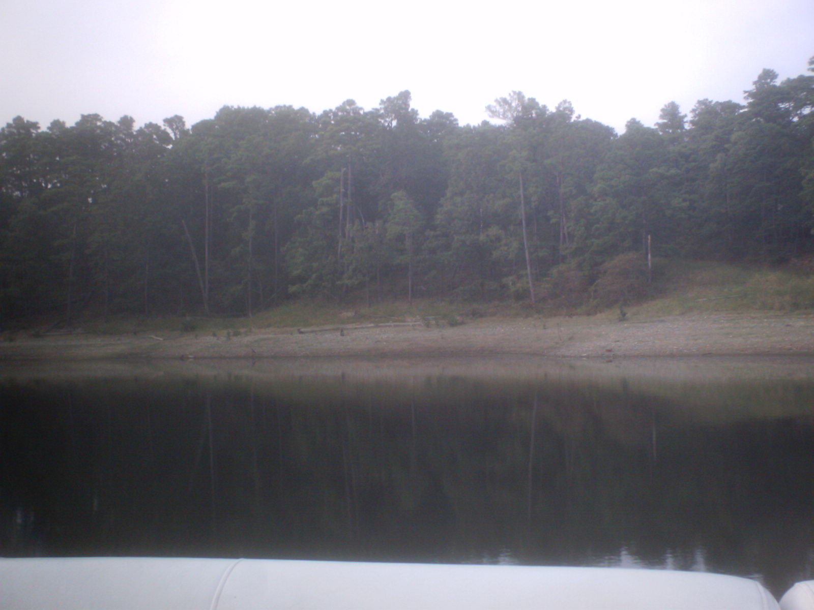
Lake Ouachita
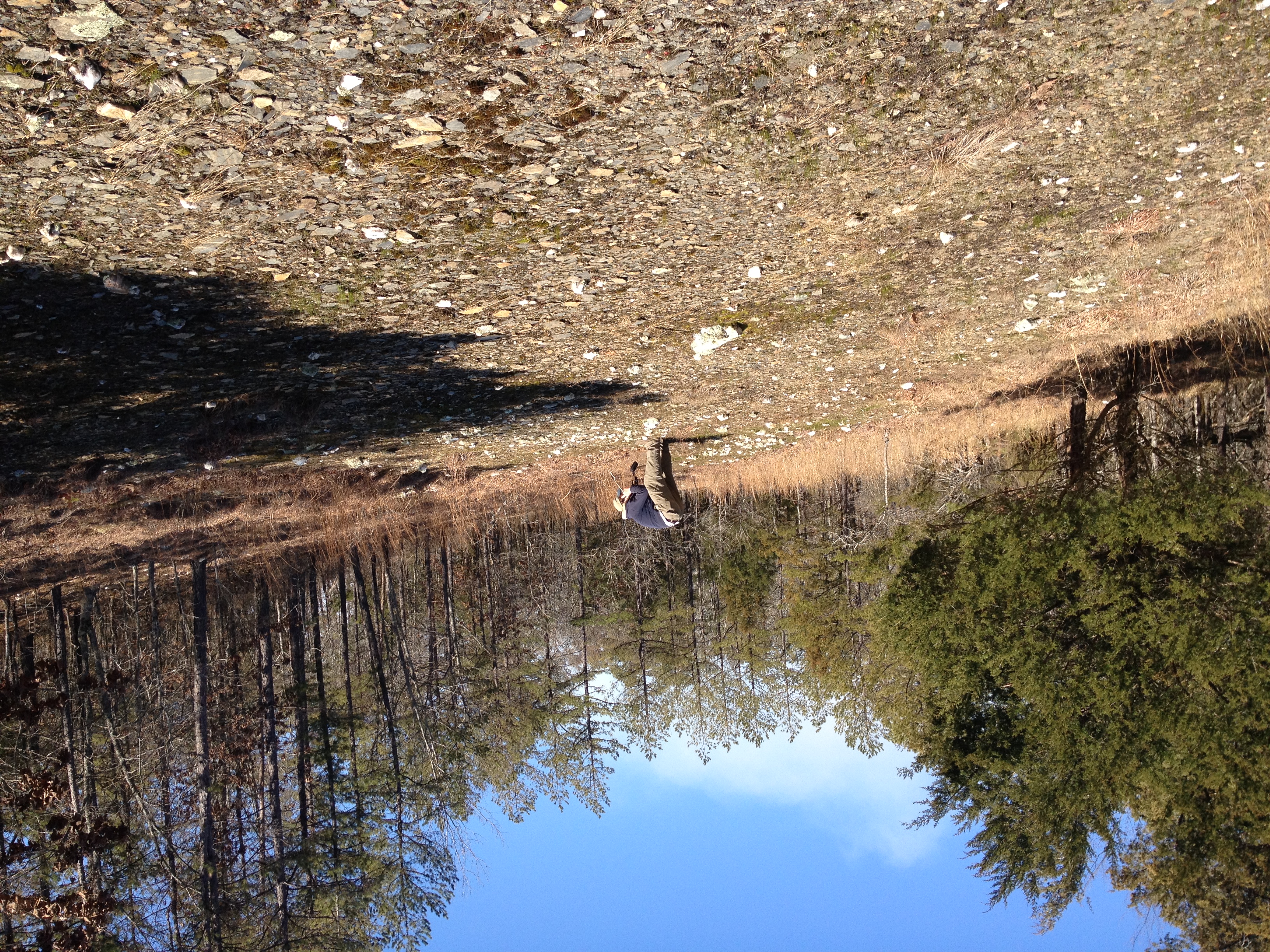
Botanist at work

20111110_068.jpg

20111110_067.jpg

20111110_066.jpg

20111110_065.jpg

20111110_064.jpg

20111110_063.jpg

Gaby and Isabella at camp

Gaby and Isabella with a fav counselor

At the rifle range Camp Ozark
water level
Topographic Map of Washita Township, AR, USA
Find elevation by address:

Places in Washita Township, AR, USA:
Places near Washita Township, AR, USA:
Story
67 Nf-231
57 AR-, Story, AR, USA
AR-27, Story, AR, USA
AR-88, Sims, AR, USA
Ions Creek Township
Sims Township
41 Easy St, Mt Ida, AR, USA
AR-, Story, AR, USA
AR-27, Plainview, AR, USA
Fannie Township
AR-27, Story, AR, USA
16 Overcrest Dr, Sims, AR, USA
Sims
Mount Ida Township
US-, Mt Ida, AR, USA
Mount Ida
US-, Mt Ida, AR, USA
Barbie Lane
42 Old Rob Rd
Recent Searches:
- Elevation of Bydgoszcz, Poland
- Elevation of Bydgoszcz, Poland
- Elevation of Calais Dr, Del Mar, CA, USA
- Elevation of Placer Mine Ln, West Jordan, UT, USA
- Elevation of E 63rd St, New York, NY, USA
- Elevation of Elk City, OK, USA
- Elevation of Erika Dr, Windsor, CA, USA
- Elevation of Village Ln, Finleyville, PA, USA
- Elevation of 24 Oakland Rd #, Scotland, ON N0E 1R0, Canada
- Elevation of Deep Gap Farm Rd E, Mill Spring, NC, USA