Elevation of Fannie Township, AR, USA
Location: United States > Arkansas > Montgomery County >
Longitude: -93.439738
Latitude: 34.7036091
Elevation: 203m / 666feet
Barometric Pressure: 99KPa
Elevation Map:
Satellite Map:
Related Photos:

Bryant's finest. And son.

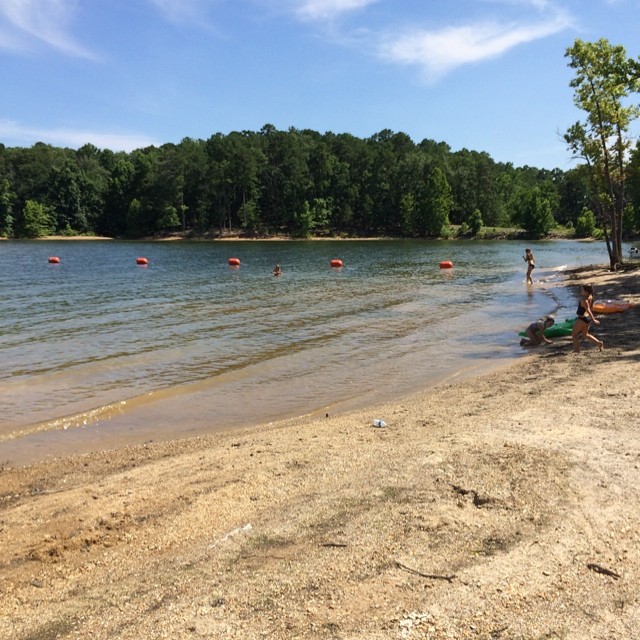
Hickory Nut Mountain

Hickory Nut Mountain

Hickory Nut Mountain

Hickory Nut Mountain
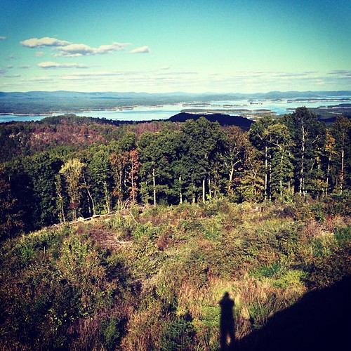
Lake Ouachita Vista.

Hickory Nut Mountain Panorama

Picnic Area

Lake Ouachita Vista
Last stop before Houston :)

Lake Ouachita Vista

Lake Ouachita Vista

Lake Ouachita Vista
Topographic Map of Fannie Township, AR, USA
Find elevation by address:

Places in Fannie Township, AR, USA:
Places near Fannie Township, AR, USA:
AR-, Story, AR, USA
57 AR-, Story, AR, USA
67 Nf-231
Story
AR-27, Plainview, AR, USA
AR-27, Story, AR, USA
121-123
Washita Township
888 Minton Rd Bald
Mountain Harbor Marina
Blue Bird Lane
347 Hickory Ridge Rd
41 Easy St, Mt Ida, AR, USA
Ions Creek Township
US-, Mt Ida, AR, USA
5949 Us-270
Center Township
Hale Township
AR-88, Sims, AR, USA
US-, Mt Ida, AR, USA
Recent Searches:
- Elevation of Erika Dr, Windsor, CA, USA
- Elevation of Village Ln, Finleyville, PA, USA
- Elevation of 24 Oakland Rd #, Scotland, ON N0E 1R0, Canada
- Elevation of Deep Gap Farm Rd E, Mill Spring, NC, USA
- Elevation of Dog Leg Dr, Minden, NV, USA
- Elevation of Dog Leg Dr, Minden, NV, USA
- Elevation of Kambingan Sa Pansol Atbp., Purok 7 Pansol, Candaba, Pampanga, Philippines
- Elevation of Pinewood Dr, New Bern, NC, USA
- Elevation of Mountain View, CA, USA
- Elevation of Foligno, Province of Perugia, Italy