Elevation of 42 Old Rob Rd, Mt Ida, AR, USA
Location: United States > Arkansas > Montgomery County > Mount Ida Township > Mount Ida >
Longitude: -93.589159
Latitude: 34.5314995
Elevation: 231m / 758feet
Barometric Pressure: 99KPa
Elevation Map:
Satellite Map:
Related Photos:

Road Trip: Ouachita National Forest

view from the truck

Bryant's finest. And son.

Fall colors on Lake Ouachita. Tompkins Bend, Arkansas. 2019.

Twin Creek

in the crystal mine

Ouachita National Forest

Ouachita National Forest
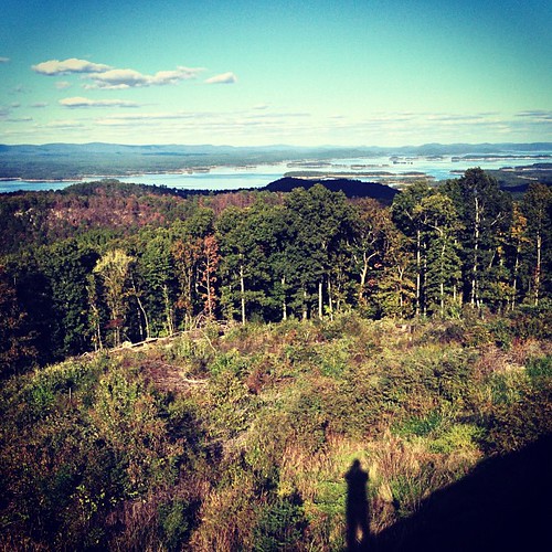
Lake Ouachita Vista.

Gap Creek

sunset cruise

Last stop before Houston :)

Laura Hikes

Twin Creek

Twin Creek

Lake Ouachita

Ouachita Natl Forest
Topographic Map of 42 Old Rob Rd, Mt Ida, AR, USA
Find elevation by address:

Places near 42 Old Rob Rd, Mt Ida, AR, USA:
US-, Mt Ida, AR, USA
Mt Ida, AR, USA
Mount Ida Township
AR-27, Story, AR, USA
Mount Ida
Montgomery County
Owley Rd, Mt Ida, AR, USA
Norman
US-, Mt Ida, AR, USA
41 Easy St, Mt Ida, AR, USA
512 Old Mt Ida Hwy
Norman
Black Springs
Barbie Lane
AR-8, Norman, AR, USA
91 Roberts Trail, Norman, AR, USA
Black Springs Township
Oden
E Broadway Ave, Oden, AR, USA
AR-8, Norman, AR, USA
Recent Searches:
- Elevation of Keene Point Drive, Keene Point Dr, Grant, AL, USA
- Elevation of State St, Zanesville, OH, USA
- Elevation of Austin Stone Dr, Haslet, TX, USA
- Elevation of Bydgoszcz, Poland
- Elevation of Bydgoszcz, Poland
- Elevation of Calais Dr, Del Mar, CA, USA
- Elevation of Placer Mine Ln, West Jordan, UT, USA
- Elevation of E 63rd St, New York, NY, USA
- Elevation of Elk City, OK, USA
- Elevation of Erika Dr, Windsor, CA, USA