Elevation of Old Mt Ida Hwy, Norman, AR, USA
Location: United States > Arkansas > Montgomery County > Norman > Norman >
Longitude: -93.694664
Latitude: 34.483069
Elevation: 234m / 768feet
Barometric Pressure: 99KPa
Elevation Map:
Satellite Map:
Related Photos:
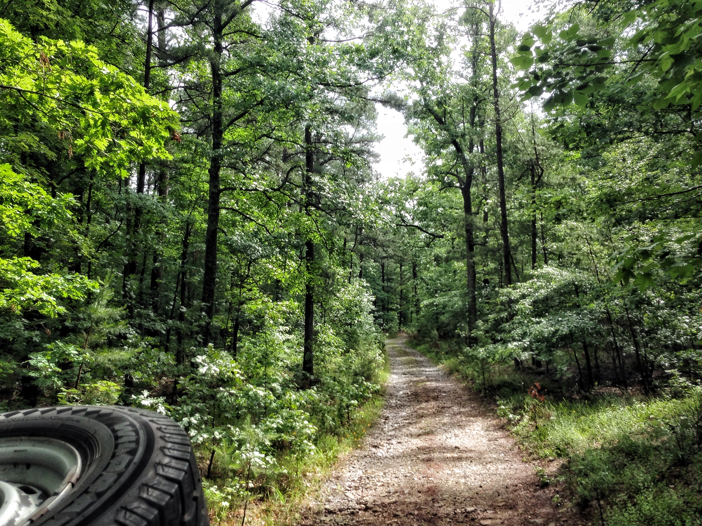
view from the truck
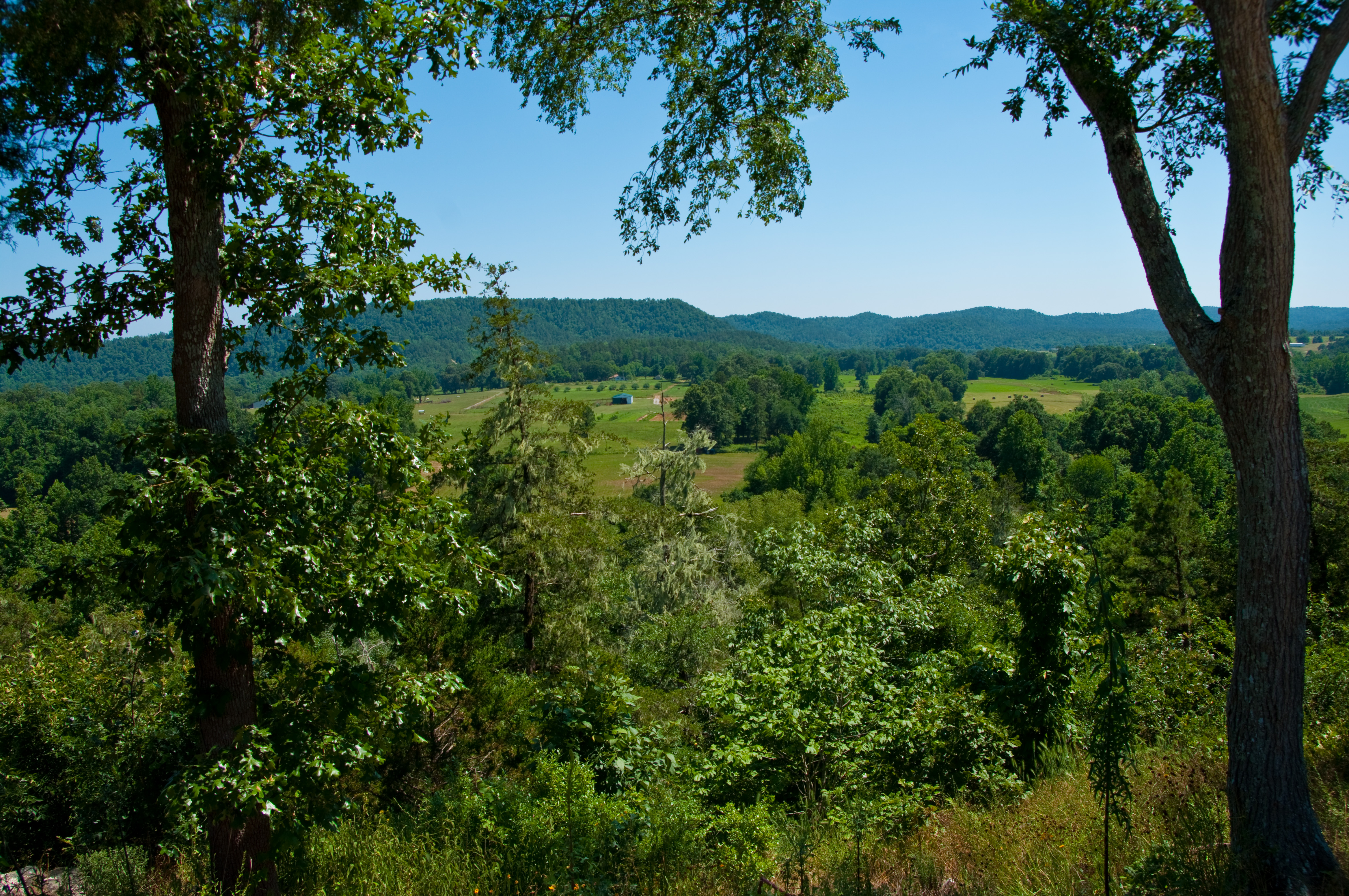
Road Trip: Ouachita National Forest
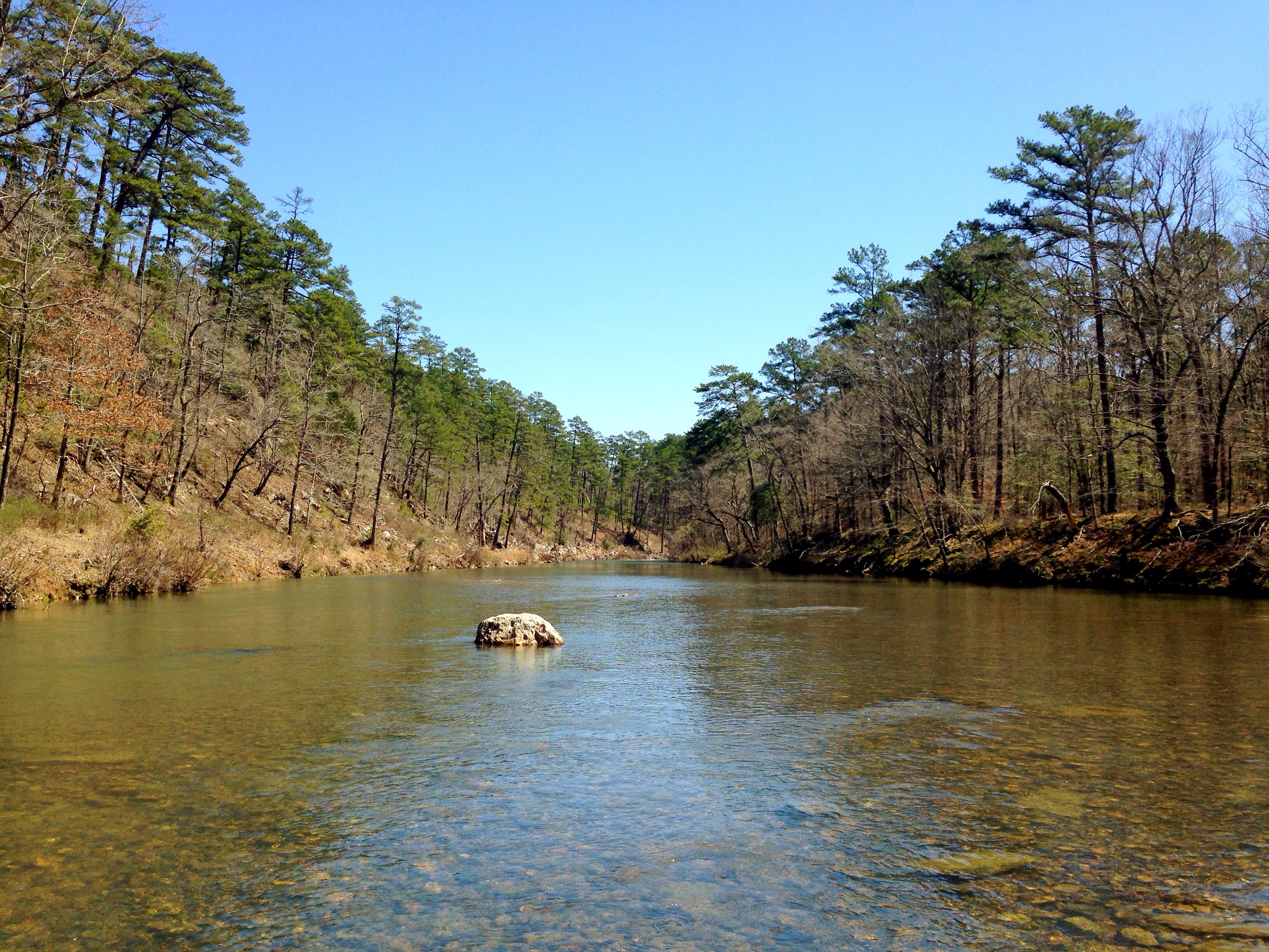
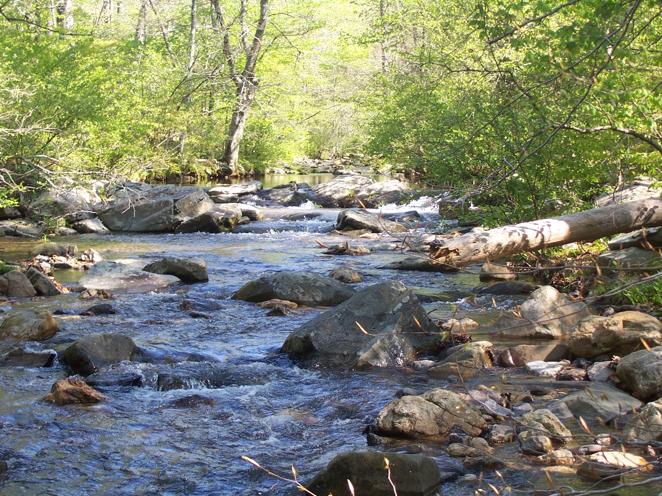
Twin Creek
Twin Creek
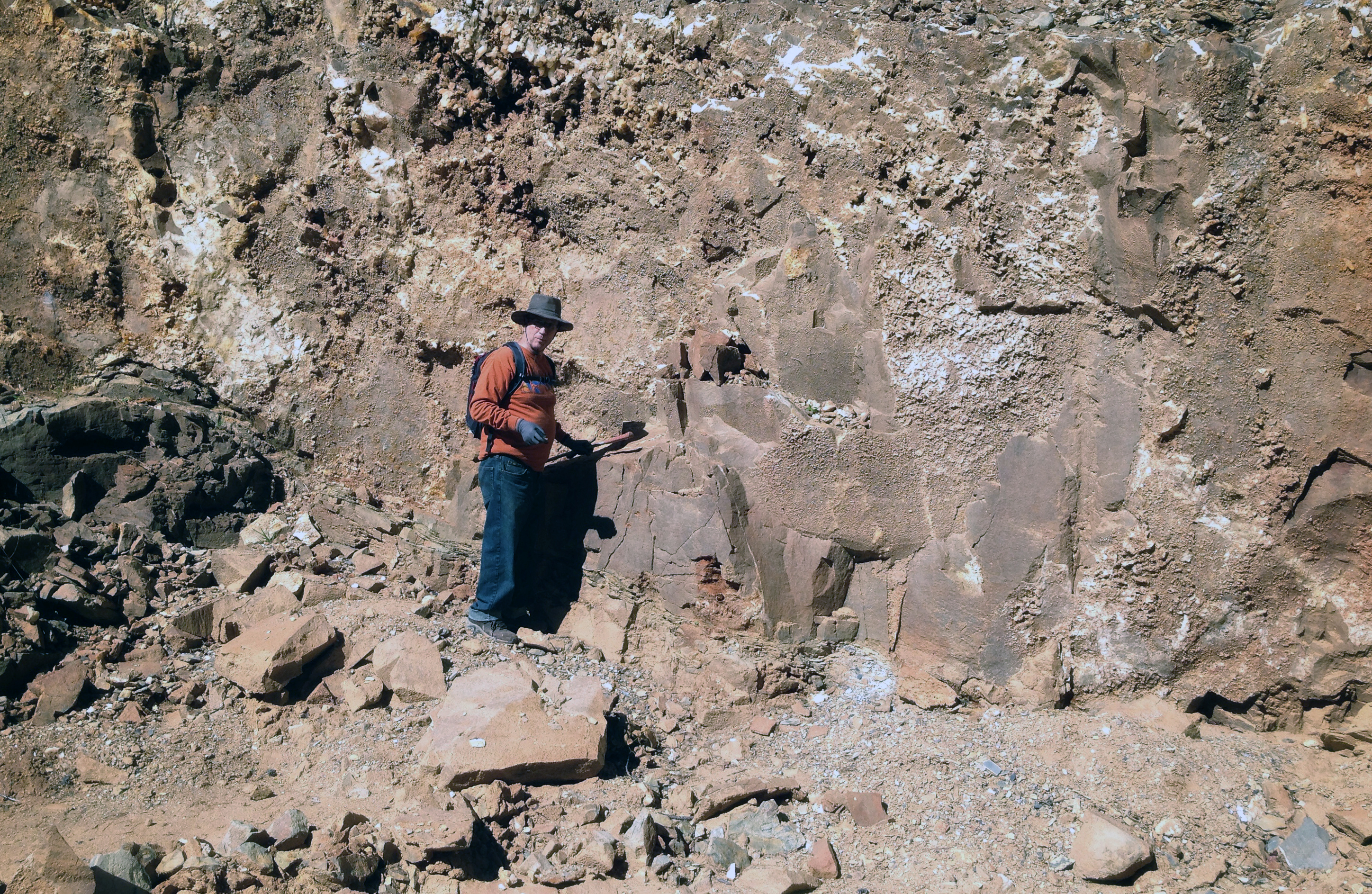
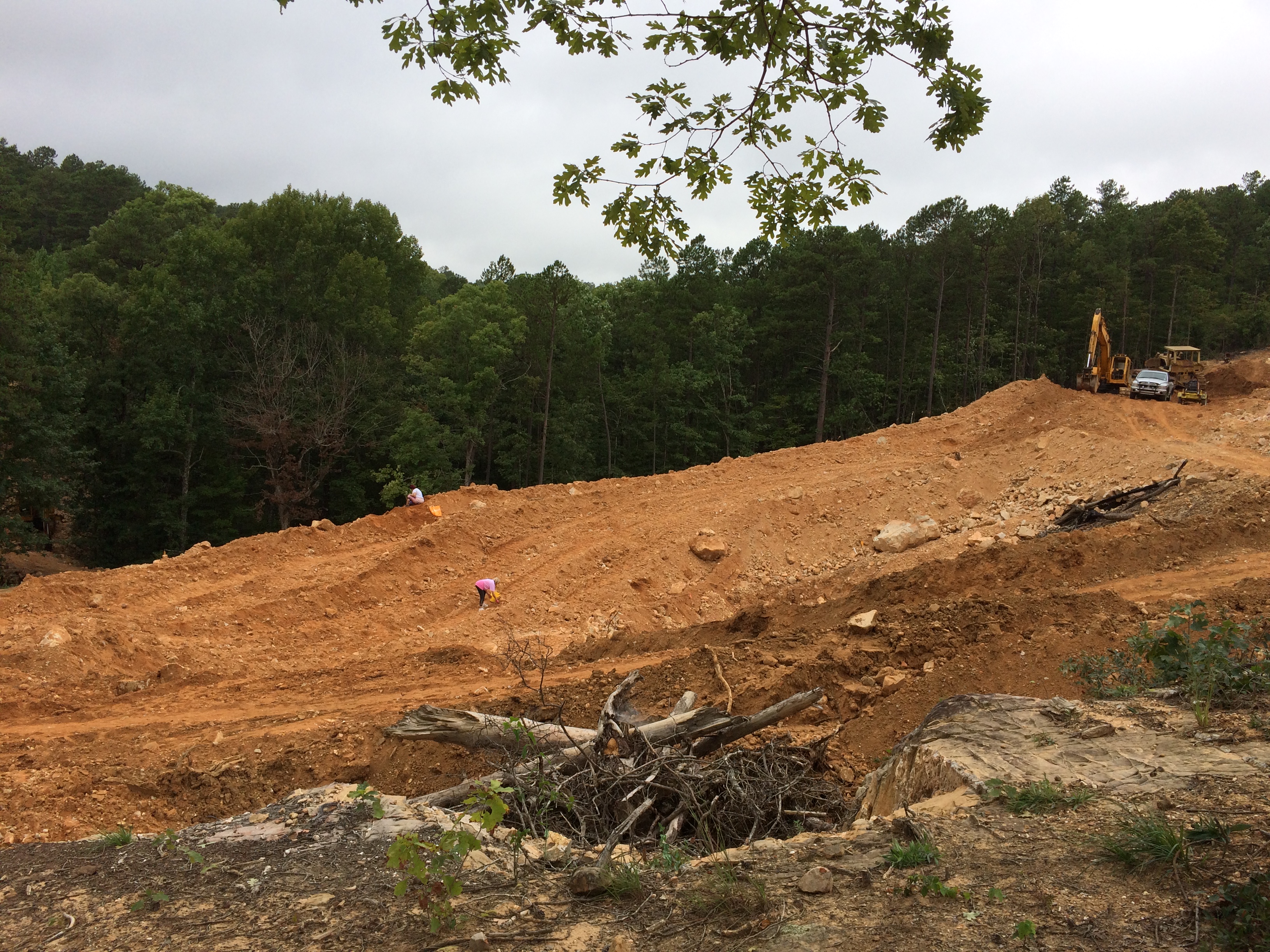
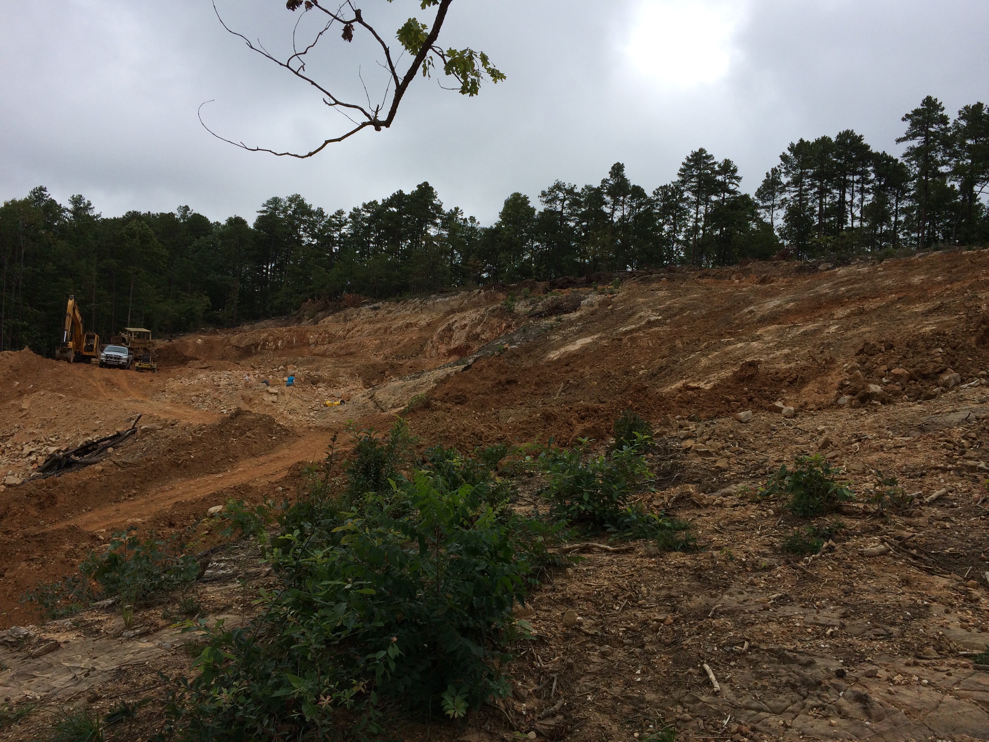
in the crystal mine

2014 Spring Break Albert Pike Camping Trip

2014 Spring Break Albert Pike Camping Trip
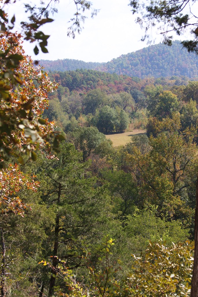
Ouachita National Forest
2014 Spring Break Albert Pike Camping Trip
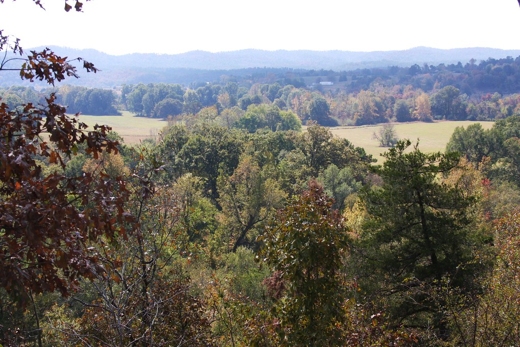
Ouachita National Forest
Ouachita Natl Forest
Topographic Map of Old Mt Ida Hwy, Norman, AR, USA
Find elevation by address:

Places near Old Mt Ida Hwy, Norman, AR, USA:
Black Springs
AR-8, Norman, AR, USA
Norman
Owley Rd, Mt Ida, AR, USA
91 Roberts Trail, Norman, AR, USA
Norman
Montgomery County
Black Springs Township
Mount Ida
Mt Ida, AR, USA
US-, Mt Ida, AR, USA
42 Old Rob Rd
Mount Ida Township
US-, Mt Ida, AR, USA
Barbie Lane
AR-27, Story, AR, USA
AR-8, Norman, AR, USA
Oden
E Broadway Ave, Oden, AR, USA
41 Easy St, Mt Ida, AR, USA
Recent Searches:
- Elevation of Woodland Oak Pl, Thousand Oaks, CA, USA
- Elevation of Brownsdale Rd, Renfrew, PA, USA
- Elevation of Corcoran Ln, Suffolk, VA, USA
- Elevation of Mamala II, Sariaya, Quezon, Philippines
- Elevation of Sarangdanda, Nepal
- Elevation of 7 Waterfall Way, Tomball, TX, USA
- Elevation of SW 57th Ave, Portland, OR, USA
- Elevation of Crocker Dr, Vacaville, CA, USA
- Elevation of Pu Ngaol Community Meeting Hall, HWHM+3X7, Krong Saen Monourom, Cambodia
- Elevation of Royal Ontario Museum, Queens Park, Toronto, ON M5S 2C6, Canada