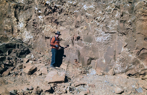
Elevation of Mt Ida, AR, USA
Location: United States > Arkansas > Montgomery County > Mount Ida Township > Mount Ida >
Longitude: -93.601520
Latitude: 34.5220817
Elevation: 217m / 712feet
Barometric Pressure: 99KPa
Related Photos:
Topographic Map of Mt Ida, AR, USA
Find elevation by address:

Places near Mt Ida, AR, USA:
42 Old Rob Rd
US-, Mt Ida, AR, USA
Mount Ida Township
Mount Ida
AR-27, Story, AR, USA
Norman
Owley Rd, Mt Ida, AR, USA
Montgomery County
US-, Mt Ida, AR, USA
512 Old Mt Ida Hwy
Norman
41 Easy St, Mt Ida, AR, USA
Black Springs
AR-8, Norman, AR, USA
Barbie Lane
91 Roberts Trail, Norman, AR, USA
Black Springs Township
Oden
E Broadway Ave, Oden, AR, USA
AR-8, Norman, AR, USA
Recent Searches:
- Elevation of Keene Point Drive, Keene Point Dr, Grant, AL, USA
- Elevation of State St, Zanesville, OH, USA
- Elevation of Austin Stone Dr, Haslet, TX, USA
- Elevation of Bydgoszcz, Poland
- Elevation of Bydgoszcz, Poland
- Elevation of Calais Dr, Del Mar, CA, USA
- Elevation of Placer Mine Ln, West Jordan, UT, USA
- Elevation of E 63rd St, New York, NY, USA
- Elevation of Elk City, OK, USA
- Elevation of Erika Dr, Windsor, CA, USA


