Elevation of Washington Township, OH, USA
Location: United States > Ohio > Brown County >
Longitude: -83.815479
Latitude: 38.9803266
Elevation: 299m / 981feet
Barometric Pressure: 98KPa
Elevation Map:
Satellite Map:
Related Photos:
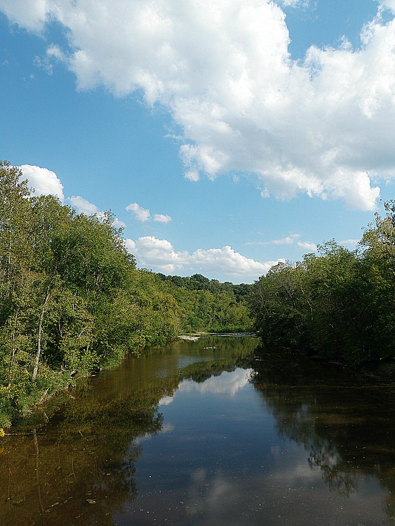
White Oak Valley.

Up the crossing
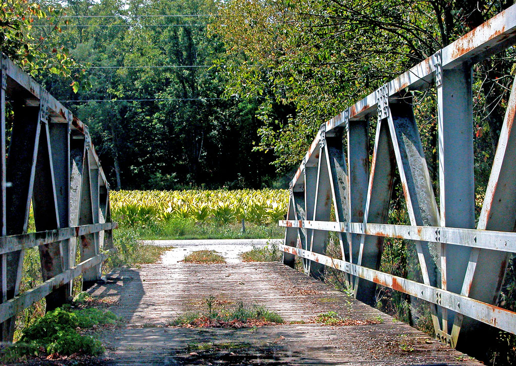
View From an Old Bridge
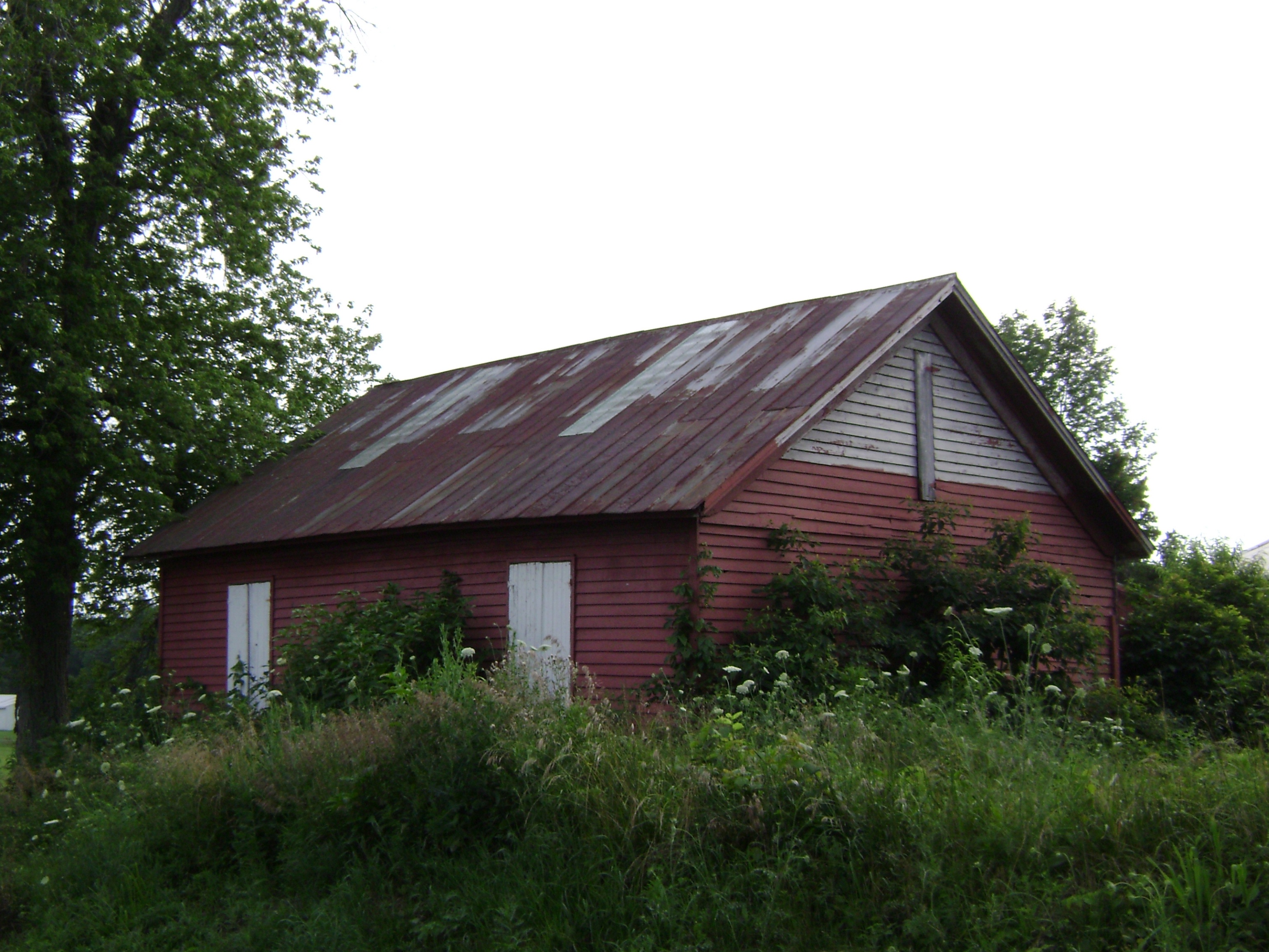
Russellville, Ohio- Baird Schoolhouse
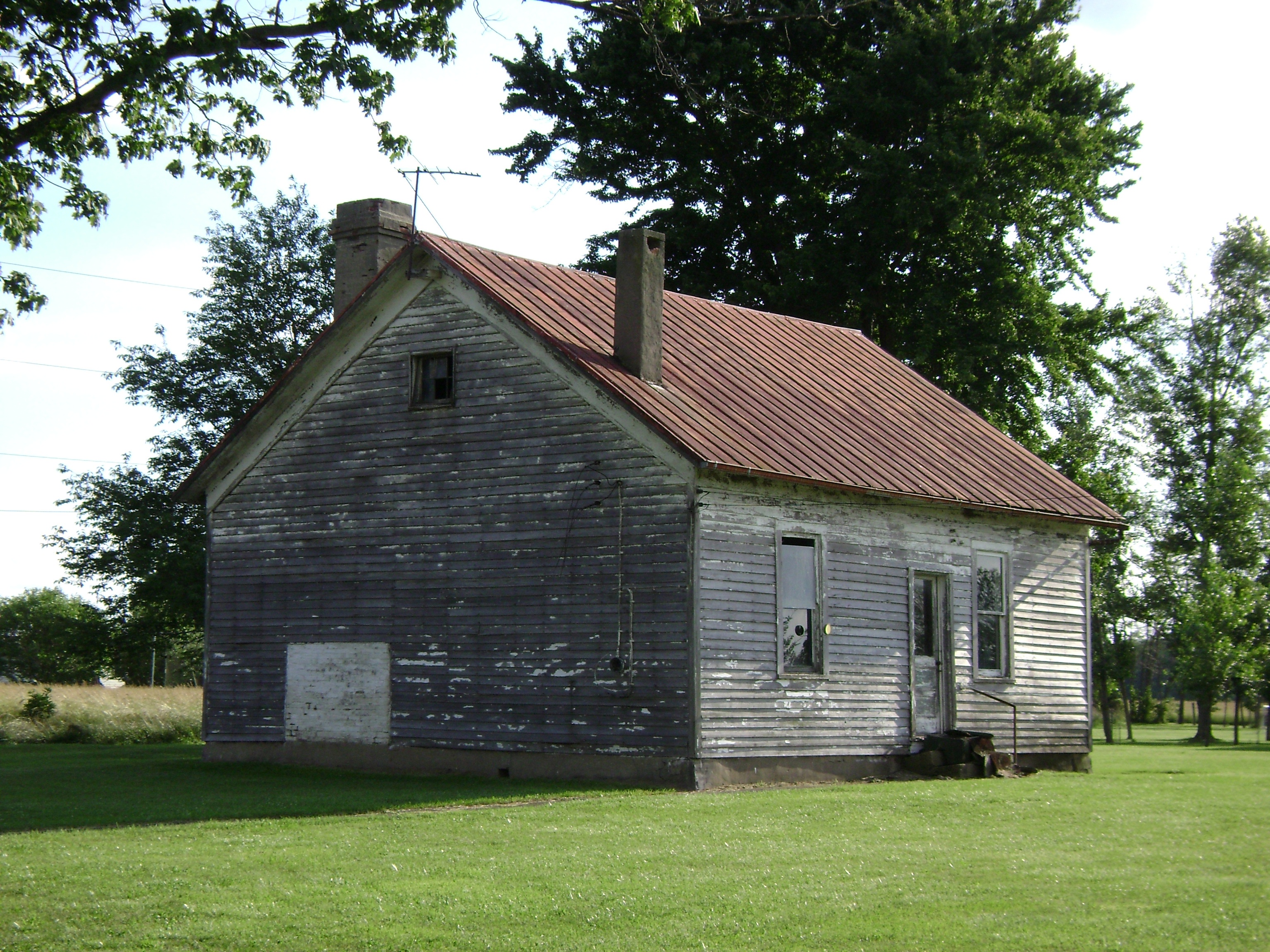
New Hope, Ohio- School Number 2

The long view

Last night's rain

Explored (10.06.2014)

Distorted Woods.

Yellow, Blue, and Green.

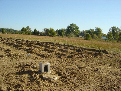
Waiting for Death, Down on the Farm.
1254 Gath South Building - 098

New Hope bridge, Brown County, Ohio

New Hope Covered Bridge 2005 0807 009

Show off
IMG_6038.JPG

Tree in the middle

IMG_6037.JPG

Gazeebo, steps

In living color

In the back

Infrared 3

Set back

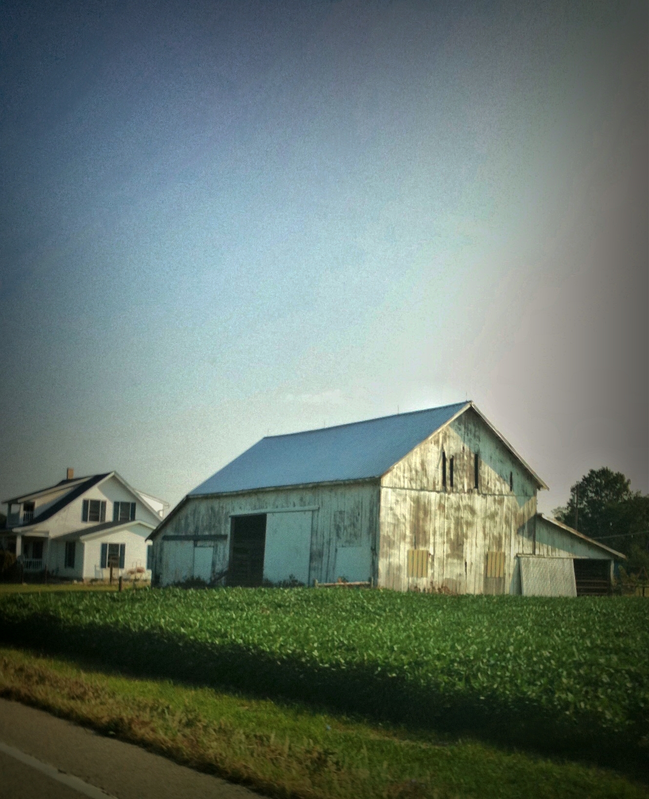
White barn

Rural roads
A slice of #landscape : #sardinian classic. / Una fetta di #paesaggio: classico #sardo #sky #sardegna #cosa_amo_della_sardegna #soft #colors #somewhere #igers #beee
Topographic Map of Washington Township, OH, USA
Find elevation by address:

Places in Washington Township, OH, USA:
Places near Washington Township, OH, USA:
Hamer Rd, Sardinia, OH, USA
Sardinia
Winchester St, Sardinia, OH, USA
Franklin Township
Lake Waynoka
170 Horse Shoe Dr
Lindsey-Shafer Rd, Georgetown, OH, USA
Brown County
Brown County
Wahlsburg East Rd, Georgetown, OH, USA
11587 Us-62
Eagle Township
US-62, Winchester, OH, USA
Jackson Township
Georgetown
E State St, Georgetown, OH, USA
Pike Township
2534 New Harmony Shiloh Rd
Hamersville
Oakland-Locust Ridge Rd, Mt Orab, OH, USA
Recent Searches:
- Elevation of Congressional Dr, Stevensville, MD, USA
- Elevation of Bellview Rd, McLean, VA, USA
- Elevation of Stage Island Rd, Chatham, MA, USA
- Elevation of Shibuya Scramble Crossing, 21 Udagawacho, Shibuya City, Tokyo -, Japan
- Elevation of Jadagoniai, Kaunas District Municipality, Lithuania
- Elevation of Pagonija rock, Kranto 7-oji g. 8"N, Kaunas, Lithuania
- Elevation of Co Rd 87, Jamestown, CO, USA
- Elevation of Tenjo, Cundinamarca, Colombia
- Elevation of Côte-des-Neiges, Montreal, QC H4A 3J6, Canada
- Elevation of Bobcat Dr, Helena, MT, USA