Elevation of Brown County, OH, USA
Location: United States > Ohio > Brown County > Georgetown >
Longitude: -83.869922
Latitude: 38.9300335
Elevation: 291m / 955feet
Barometric Pressure: 98KPa
Elevation Map:
Satellite Map:
Related Photos:

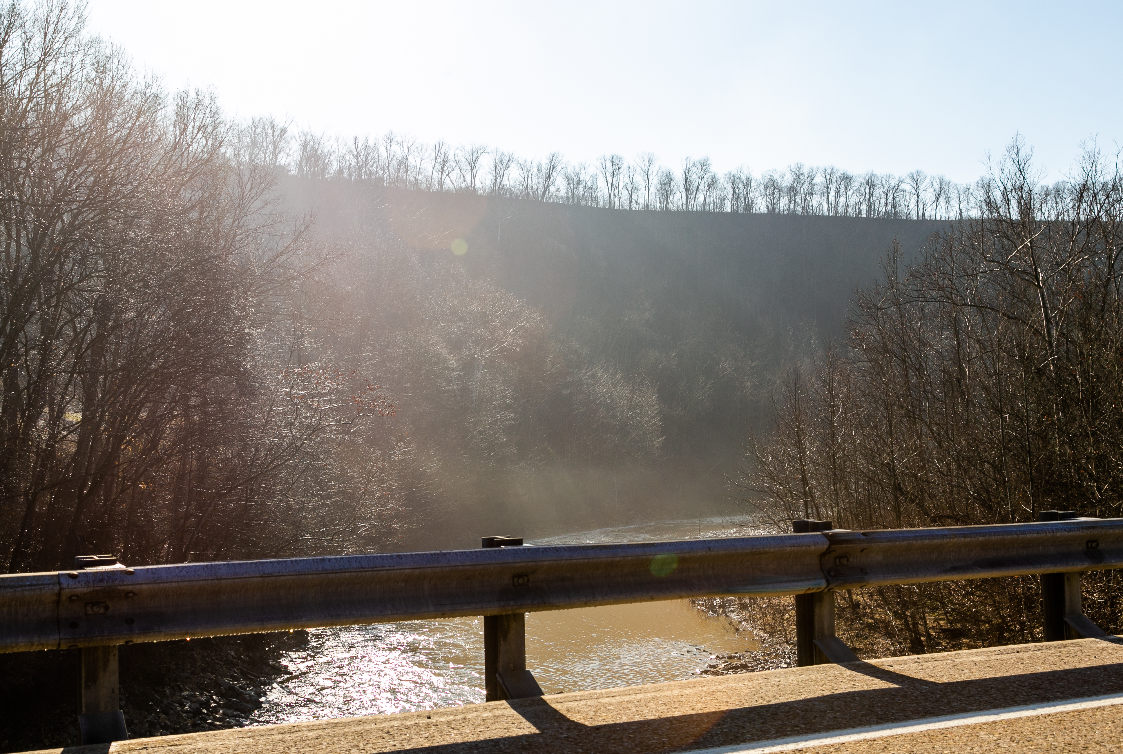
View From an Old Bridge

White Oak Valley.

Russellville, Ohio- Baird Schoolhouse

New Hope, Ohio- School Number 2

Tree Line, 3-7-2013

Sunrise, 3-21-2014. EXPLORE,3-23-2014.

IMG_3575.JPG

Country Field.

Distorted Woods.
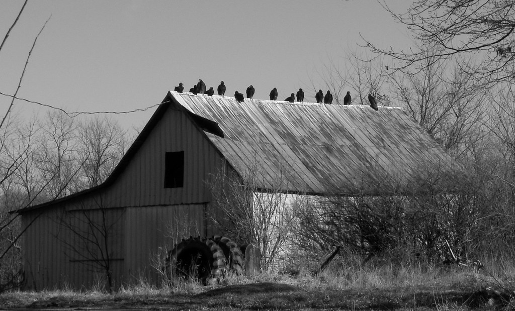
Waiting for Death, Down on the Farm.

Yellow, Blue, and Green.

Here it comes!
Sunset Flight.

A Storm, Rolls In.

Country Road.

Orange Sky

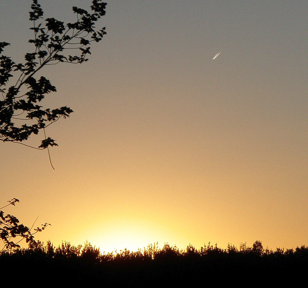
Sunset and Contrail.

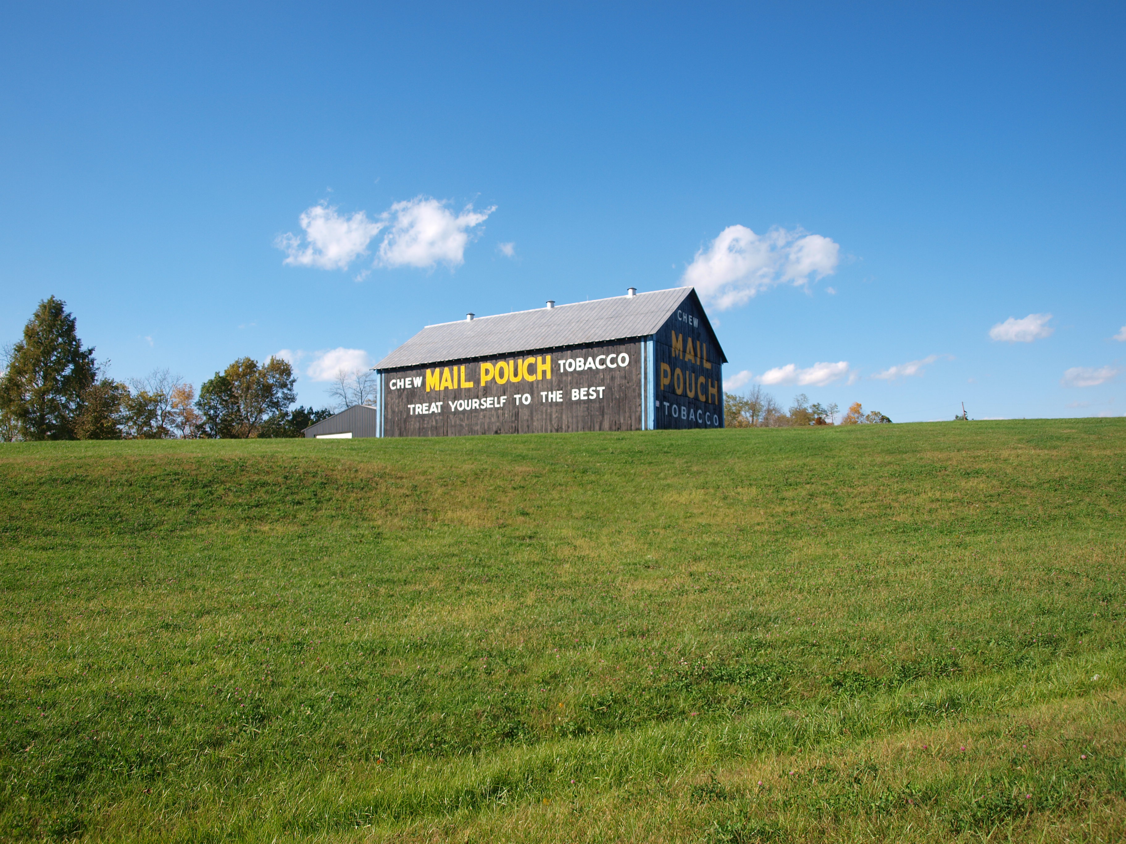
Espy Barn — Scott Township, Brown County, Ohio

Farm and Mill — Pleasant Township, Brown County, Ohio

Farmland — Scott Township, Brown County, Ohio
MPB 35-08-06, Brown County, Ohio
White Oak Creek Valley — Lewis Township, Brown County, Ohio

White Oak Creek Valley — Pleasant Township, Brown County, Ohio

State Route 221 — Pleasant Township, Brown County, Ohio
Topographic Map of Brown County, OH, USA
Find elevation by address:

Places near Brown County, OH, USA:
Lindsey-Shafer Rd, Georgetown, OH, USA
Wahlsburg East Rd, Georgetown, OH, USA
Brown County
Franklin Township
Hamer Rd, Sardinia, OH, USA
Georgetown
E State St, Georgetown, OH, USA
Washington Township
Lake Waynoka
Sardinia
Winchester St, Sardinia, OH, USA
170 Horse Shoe Dr
Hamersville
Pike Township
Jackson Township
2534 New Harmony Shiloh Rd
11587 Us-62
US-62, Winchester, OH, USA
Oakland-Locust Ridge Rd, Mt Orab, OH, USA
Eagle Township
Recent Searches:
- Elevation of Congressional Dr, Stevensville, MD, USA
- Elevation of Bellview Rd, McLean, VA, USA
- Elevation of Stage Island Rd, Chatham, MA, USA
- Elevation of Shibuya Scramble Crossing, 21 Udagawacho, Shibuya City, Tokyo -, Japan
- Elevation of Jadagoniai, Kaunas District Municipality, Lithuania
- Elevation of Pagonija rock, Kranto 7-oji g. 8"N, Kaunas, Lithuania
- Elevation of Co Rd 87, Jamestown, CO, USA
- Elevation of Tenjo, Cundinamarca, Colombia
- Elevation of Côte-des-Neiges, Montreal, QC H4A 3J6, Canada
- Elevation of Bobcat Dr, Helena, MT, USA