Elevation of Franklin Township, OH, USA
Location: United States > Ohio > Brown County >
Longitude: -83.826088
Latitude: 38.9288974
Elevation: 296m / 971feet
Barometric Pressure: 98KPa
Elevation Map:
Satellite Map:
Related Photos:
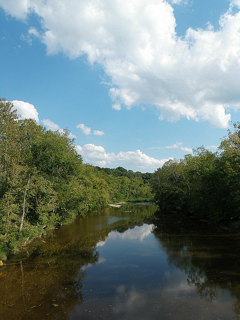
White Oak Valley.
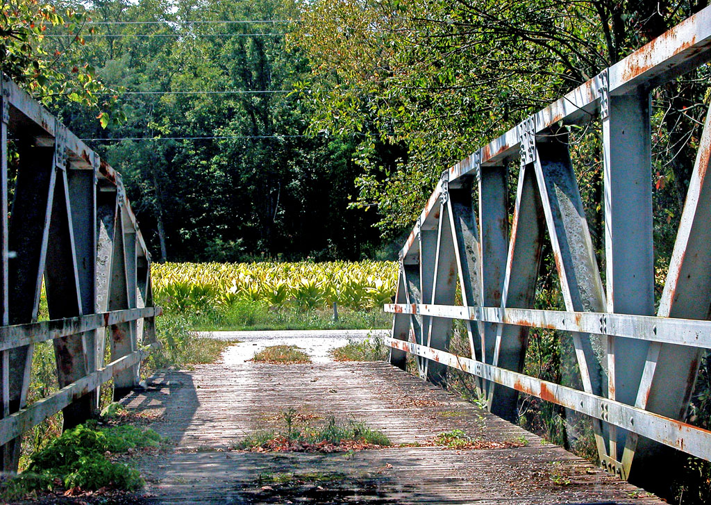
View From an Old Bridge

Up the crossing
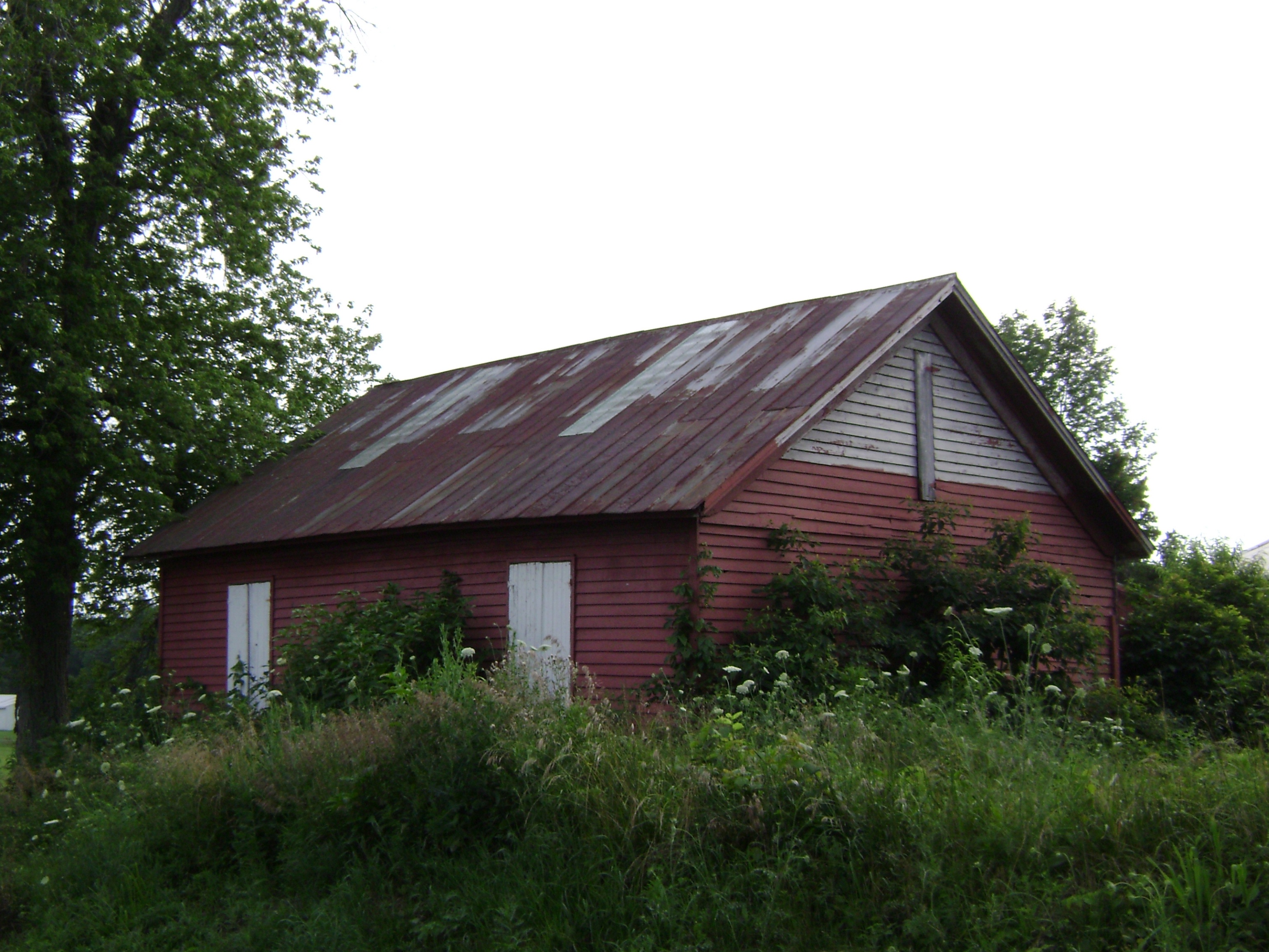
Russellville, Ohio- Baird Schoolhouse
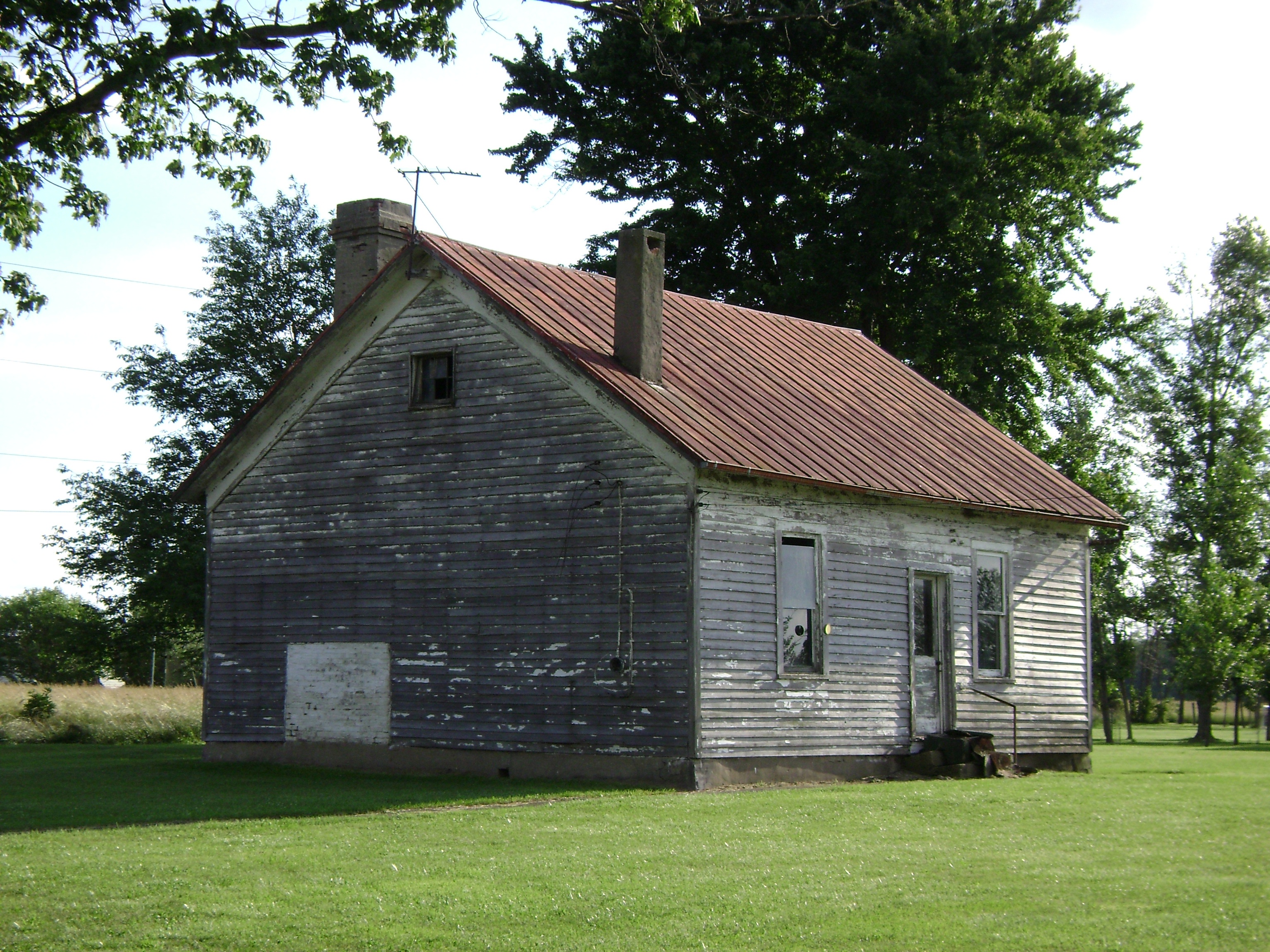
New Hope, Ohio- School Number 2

The long view

Last night's rain

sunset 4913

Country Field.

Distorted Woods.

Sunset Flight.

Sunrise, 3-21-2014. EXPLORE,3-23-2014.

Yellow, Blue, and Green.

Here it comes!

Waiting for Death, Down on the Farm.

Sunset and Contrail.
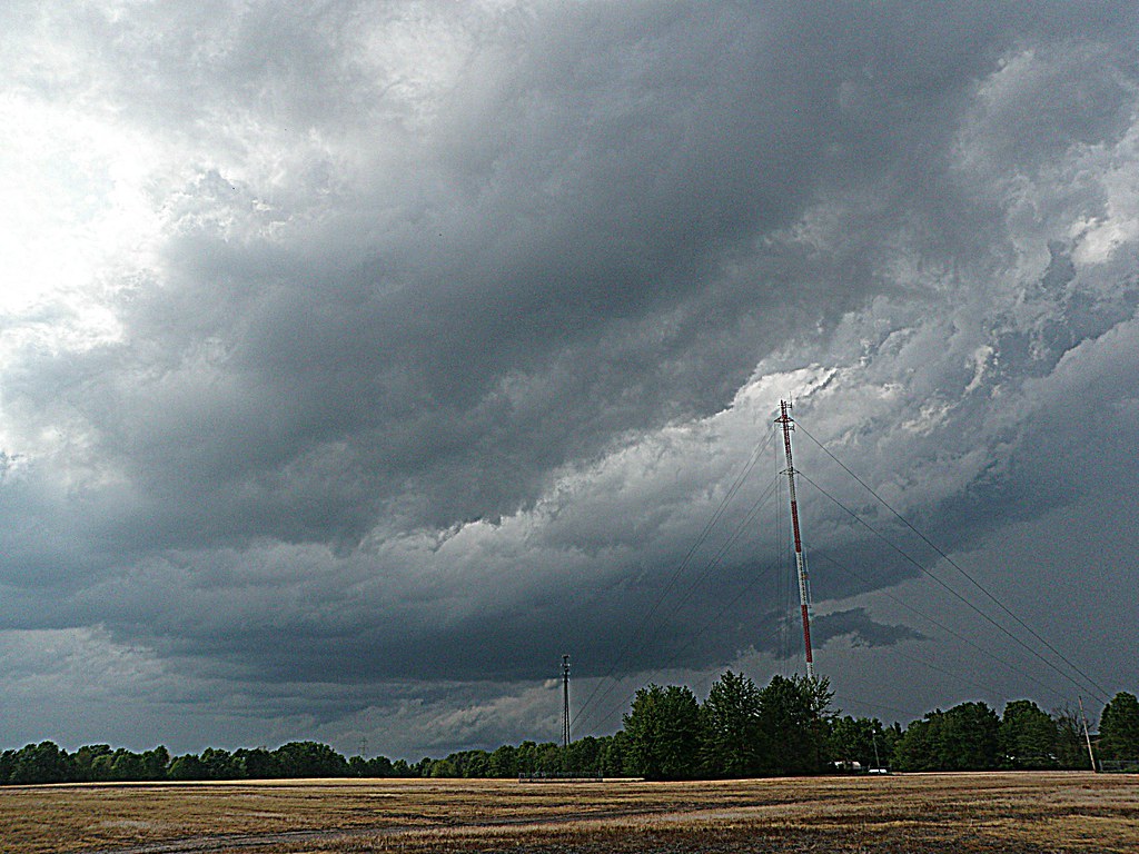
A Storm, Rolls In.

Ante Meridiem Fog.

Orange Sky

Country Road.
1254 Gath South Building - 098

New Hope bridge, Brown County, Ohio

New Hope Covered Bridge 2005 0807 009

Show off

Tree in the middle

Gazeebo, steps

In living color
Topographic Map of Franklin Township, OH, USA
Find elevation by address:

Places in Franklin Township, OH, USA:
Places near Franklin Township, OH, USA:
Brown County
Wahlsburg East Rd, Georgetown, OH, USA
Lake Waynoka
Hamer Rd, Sardinia, OH, USA
Brown County
Lindsey-Shafer Rd, Georgetown, OH, USA
Washington Township
170 Horse Shoe Dr
Sardinia
Winchester St, Sardinia, OH, USA
Jackson Township
11587 Us-62
E State St, Georgetown, OH, USA
Georgetown
US-62, Winchester, OH, USA
Eagle Township
Hamersville
Pike Township
2534 New Harmony Shiloh Rd
Oakland-Locust Ridge Rd, Mt Orab, OH, USA
Recent Searches:
- Elevation of Corso Fratelli Cairoli, 35, Macerata MC, Italy
- Elevation of Tallevast Rd, Sarasota, FL, USA
- Elevation of 4th St E, Sonoma, CA, USA
- Elevation of Black Hollow Rd, Pennsdale, PA, USA
- Elevation of Oakland Ave, Williamsport, PA, USA
- Elevation of Pedrógão Grande, Portugal
- Elevation of Klee Dr, Martinsburg, WV, USA
- Elevation of Via Roma, Pieranica CR, Italy
- Elevation of Tavkvetili Mountain, Georgia
- Elevation of Hartfords Bluff Cir, Mt Pleasant, SC, USA