Elevation of Lindsey-Shafer Rd, Georgetown, OH, USA
Location: United States > Ohio > Brown County > Franklin Township >
Longitude: -83.871829
Latitude: 38.932879
Elevation: 292m / 958feet
Barometric Pressure: 98KPa
Elevation Map:
Satellite Map:
Related Photos:
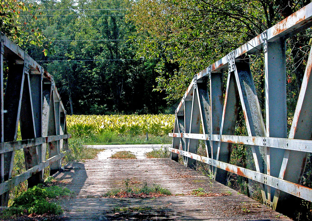
View From an Old Bridge
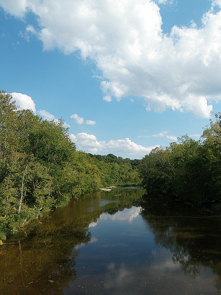
White Oak Valley.

Up the crossing
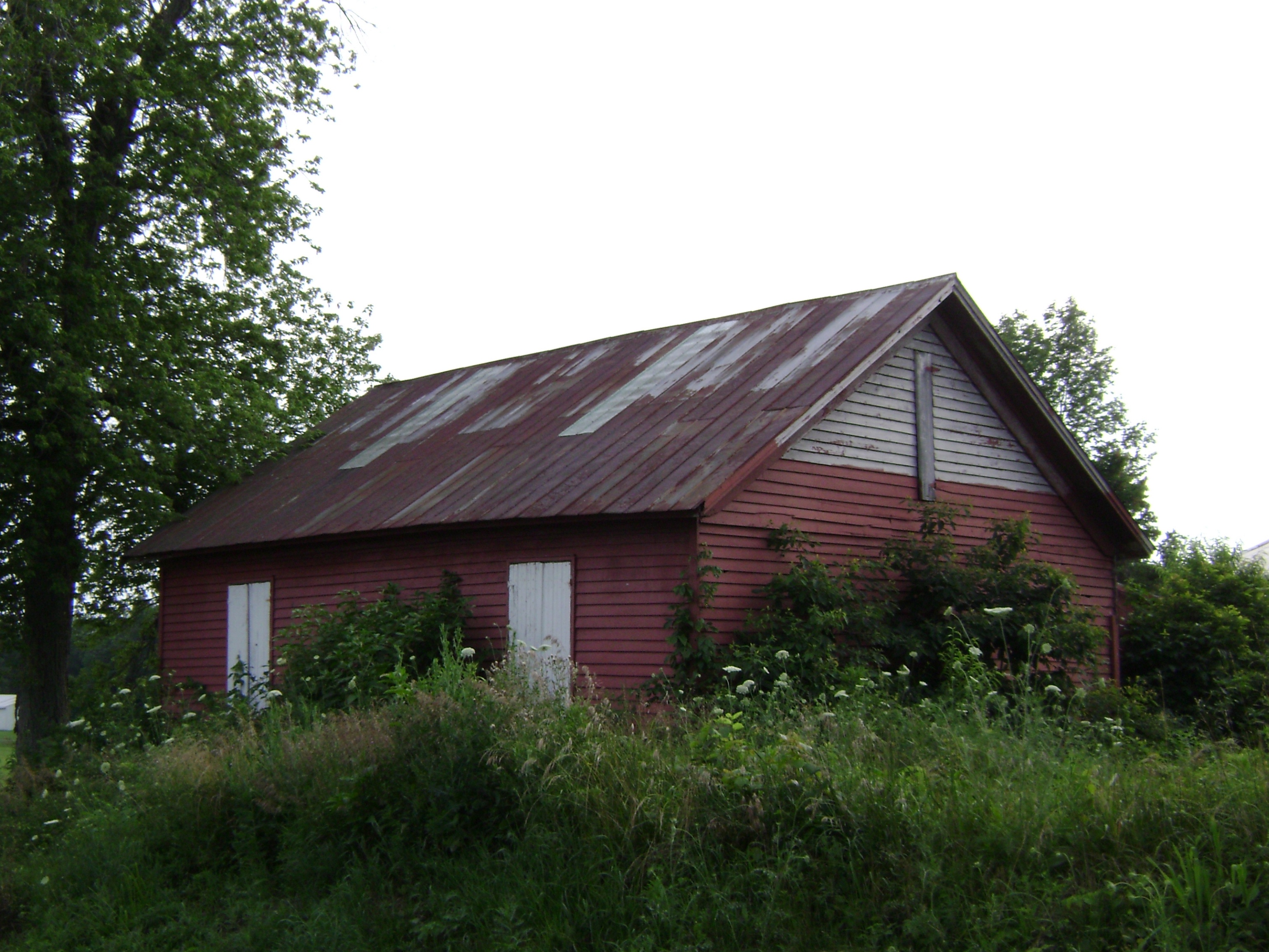
Russellville, Ohio- Baird Schoolhouse
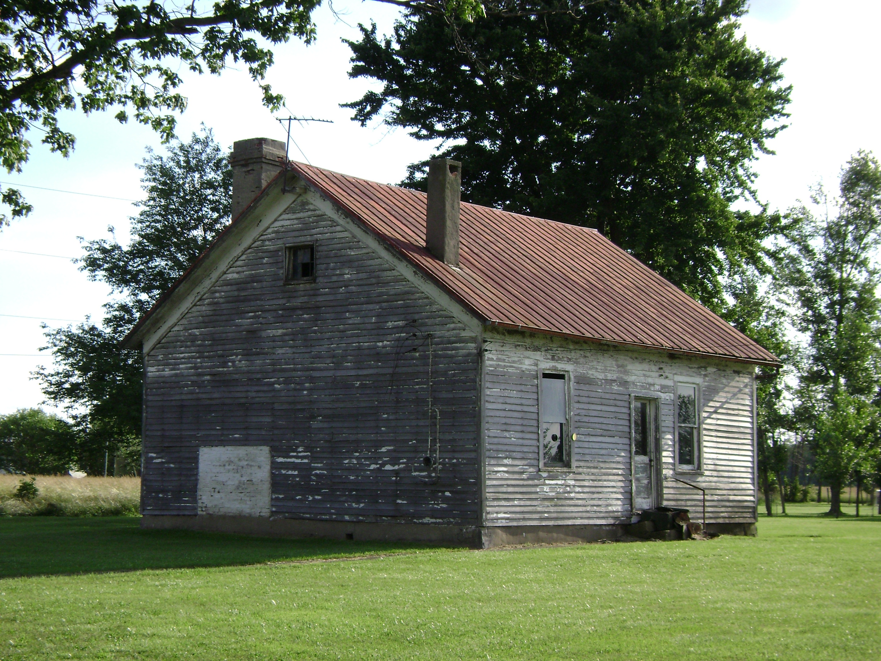
New Hope, Ohio- School Number 2

The long view

Last night's rain

sunset 4913

Country Field.

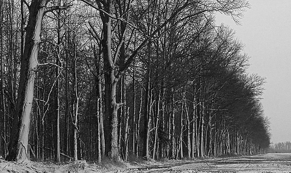
Distorted Woods.
Tree Line, 3-7-2013

Sunset Flight.

Sunrise, 3-21-2014. EXPLORE,3-23-2014.

Yellow, Blue, and Green.

Here it comes!

Waiting for Death, Down on the Farm.

Sunset and Contrail.
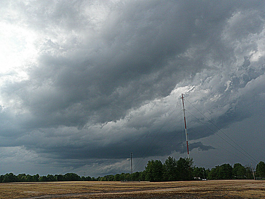
A Storm, Rolls In.

Ante Meridiem Fog.

Orange Sky
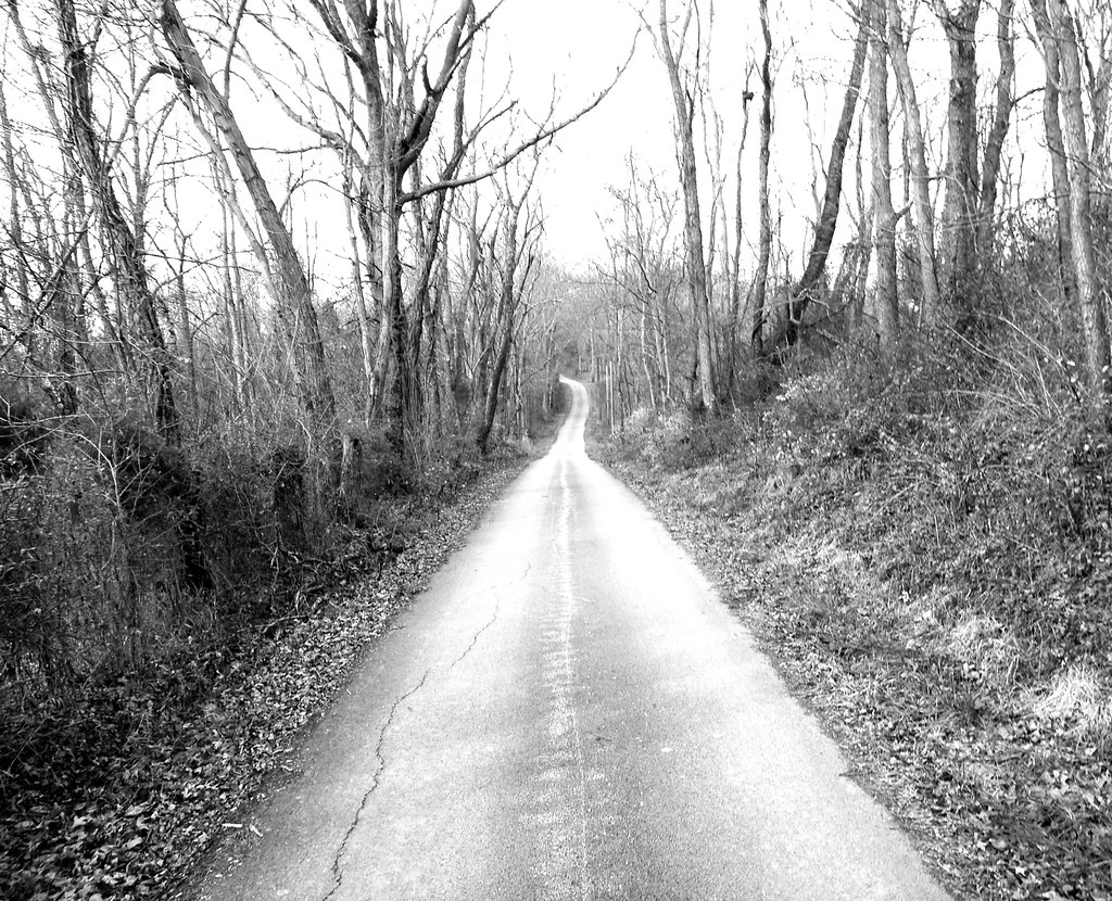
Country Road.
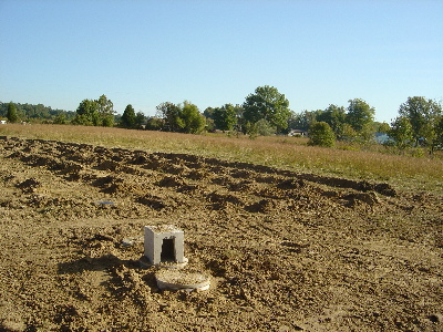
1254 Gath South Building - 098

New Hope bridge, Brown County, Ohio

New Hope Covered Bridge 2005 0807 009

Show off

Tree in the middle
Topographic Map of Lindsey-Shafer Rd, Georgetown, OH, USA
Find elevation by address:

Places near Lindsey-Shafer Rd, Georgetown, OH, USA:
Brown County
Wahlsburg East Rd, Georgetown, OH, USA
Brown County
Franklin Township
Hamer Rd, Sardinia, OH, USA
Washington Township
Georgetown
E State St, Georgetown, OH, USA
Lake Waynoka
Sardinia
Winchester St, Sardinia, OH, USA
170 Horse Shoe Dr
Hamersville
Pike Township
2534 New Harmony Shiloh Rd
Jackson Township
11587 Us-62
US-62, Winchester, OH, USA
Oakland-Locust Ridge Rd, Mt Orab, OH, USA
Eagle Township
Recent Searches:
- Elevation of Corso Fratelli Cairoli, 35, Macerata MC, Italy
- Elevation of Tallevast Rd, Sarasota, FL, USA
- Elevation of 4th St E, Sonoma, CA, USA
- Elevation of Black Hollow Rd, Pennsdale, PA, USA
- Elevation of Oakland Ave, Williamsport, PA, USA
- Elevation of Pedrógão Grande, Portugal
- Elevation of Klee Dr, Martinsburg, WV, USA
- Elevation of Via Roma, Pieranica CR, Italy
- Elevation of Tavkvetili Mountain, Georgia
- Elevation of Hartfords Bluff Cir, Mt Pleasant, SC, USA