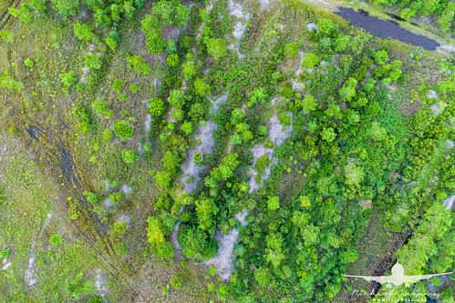
Elevation of Walthourville, GA, USA
Location: United States > Georgia > Liberty County >
Longitude: -81.632612
Latitude: 31.7741016
Elevation: 28m / 92feet
Barometric Pressure: 101KPa
Related Photos:
Topographic Map of Walthourville, GA, USA
Find elevation by address:

Places near Walthourville, GA, USA:
Oglethorpe Hwy, Hinesville, GA, USA
16 Dunlevie Rd, Hinesville, GA, USA
Lee Pl Rd NE, Ludowici, GA, USA
Maple Dr S, Hinesville, GA, USA
GA-38, Ludowici, GA, USA
1737 Pearl Davis Rd
W Oglethorpe Hwy, Hinesville, GA, USA
Jane Ln, Hinesville, GA, USA
Garden Cir, Hinesville, GA, USA
Ruben Wells Road
910 Shady Ln
969 Hawthorne Ct
Virgina Drive
Olive St, Hinesville, GA, USA
145 Madison Ave Ne
Ledgewood Circle
Hinesville
Tibet Road
Floyd St, Hinesville, GA, USA
Fort Stewart
Recent Searches:
- Elevation of Elwyn Dr, Roanoke Rapids, NC, USA
- Elevation of Congressional Dr, Stevensville, MD, USA
- Elevation of Bellview Rd, McLean, VA, USA
- Elevation of Stage Island Rd, Chatham, MA, USA
- Elevation of Shibuya Scramble Crossing, 21 Udagawacho, Shibuya City, Tokyo -, Japan
- Elevation of Jadagoniai, Kaunas District Municipality, Lithuania
- Elevation of Pagonija rock, Kranto 7-oji g. 8"N, Kaunas, Lithuania
- Elevation of Co Rd 87, Jamestown, CO, USA
- Elevation of Tenjo, Cundinamarca, Colombia
- Elevation of Côte-des-Neiges, Montreal, QC H4A 3J6, Canada
