Elevation of W Oglethorpe Hwy, Hinesville, GA, USA
Location: United States > Georgia > Liberty County > Hinesville >
Longitude: -81.600952
Latitude: 31.8174762
Elevation: 21m / 69feet
Barometric Pressure: 101KPa
Elevation Map:
Satellite Map:
Related Photos:
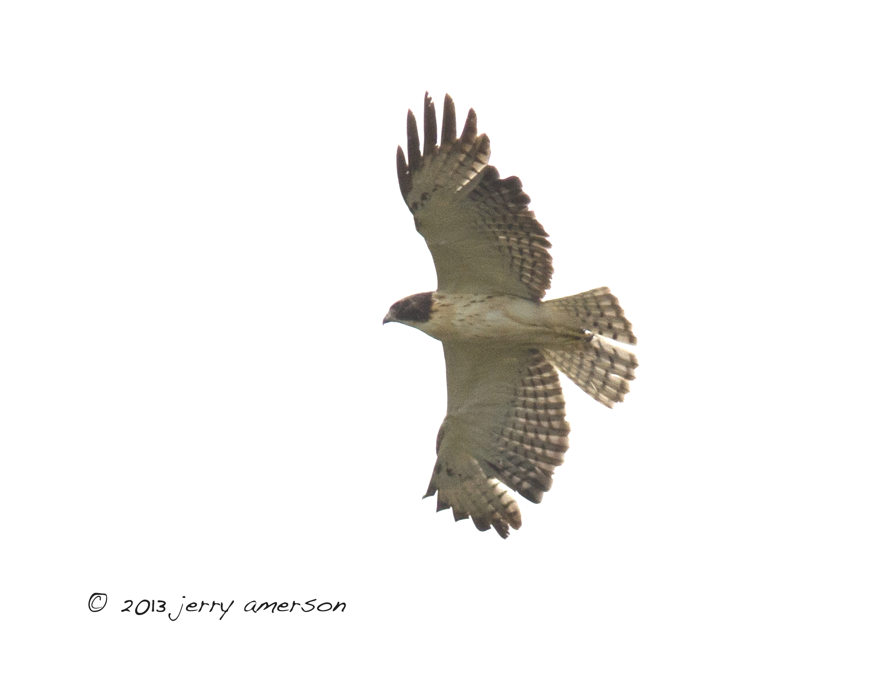
Short-tailed Hawk. GMNH 6959. Hinesville, Liberty County, 28 April 2013. Photo by Jerry Amerson
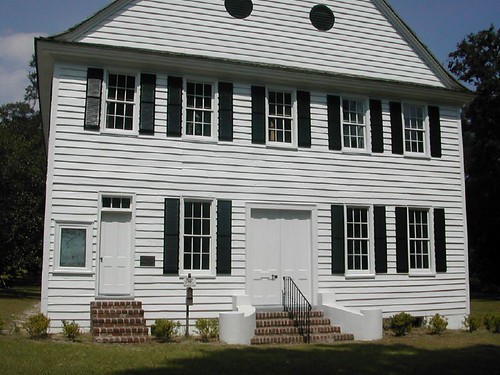
Midway Church - Midway, GA
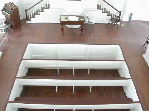
Midway Church - View From the Balcony - VERY "New England" Looking

Bradwell Homes

Bradwell Homes
Bradwell Homes
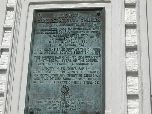
Cornerstone Plate from Old Midway Church
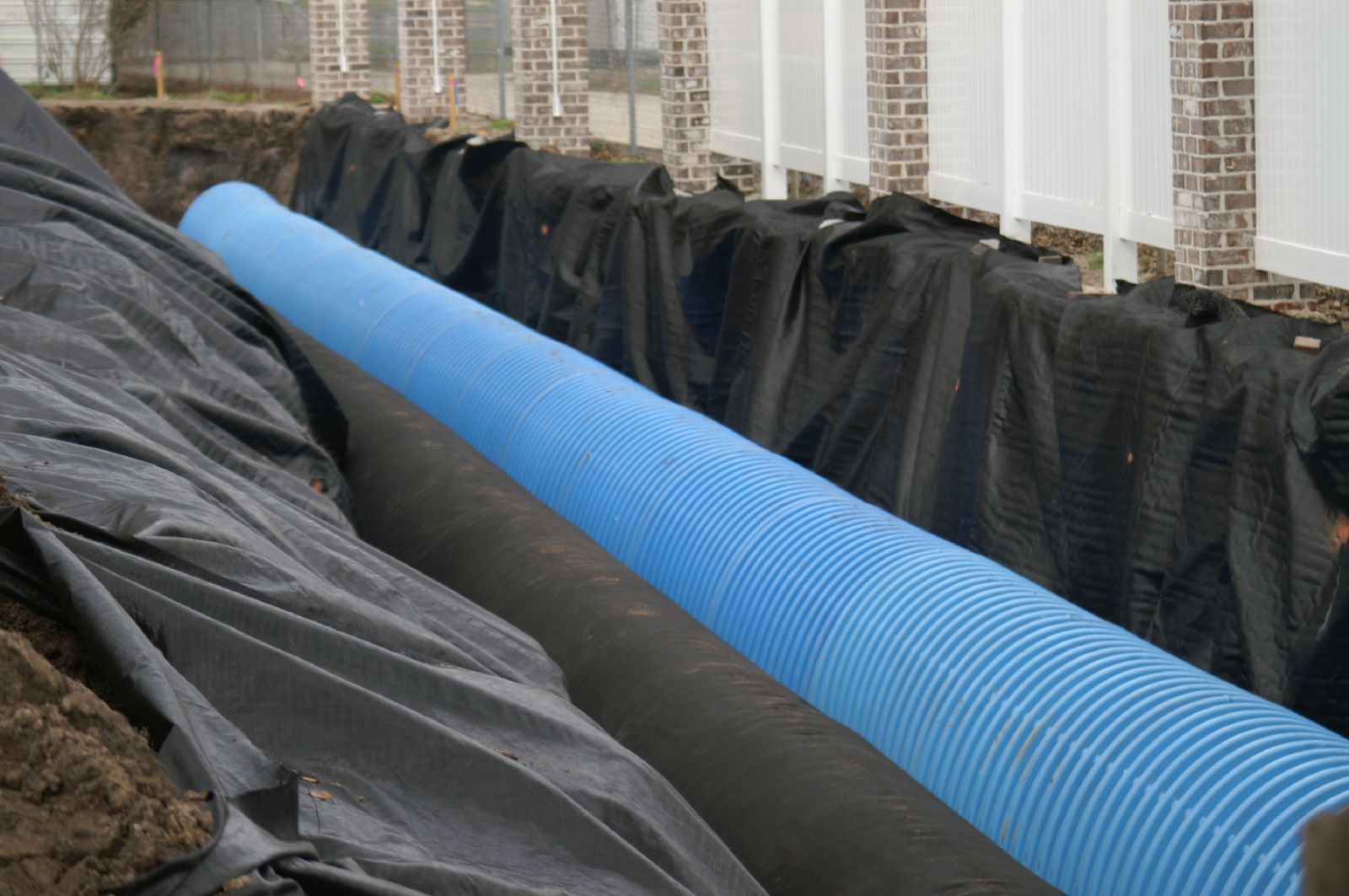
Bradwell Homes
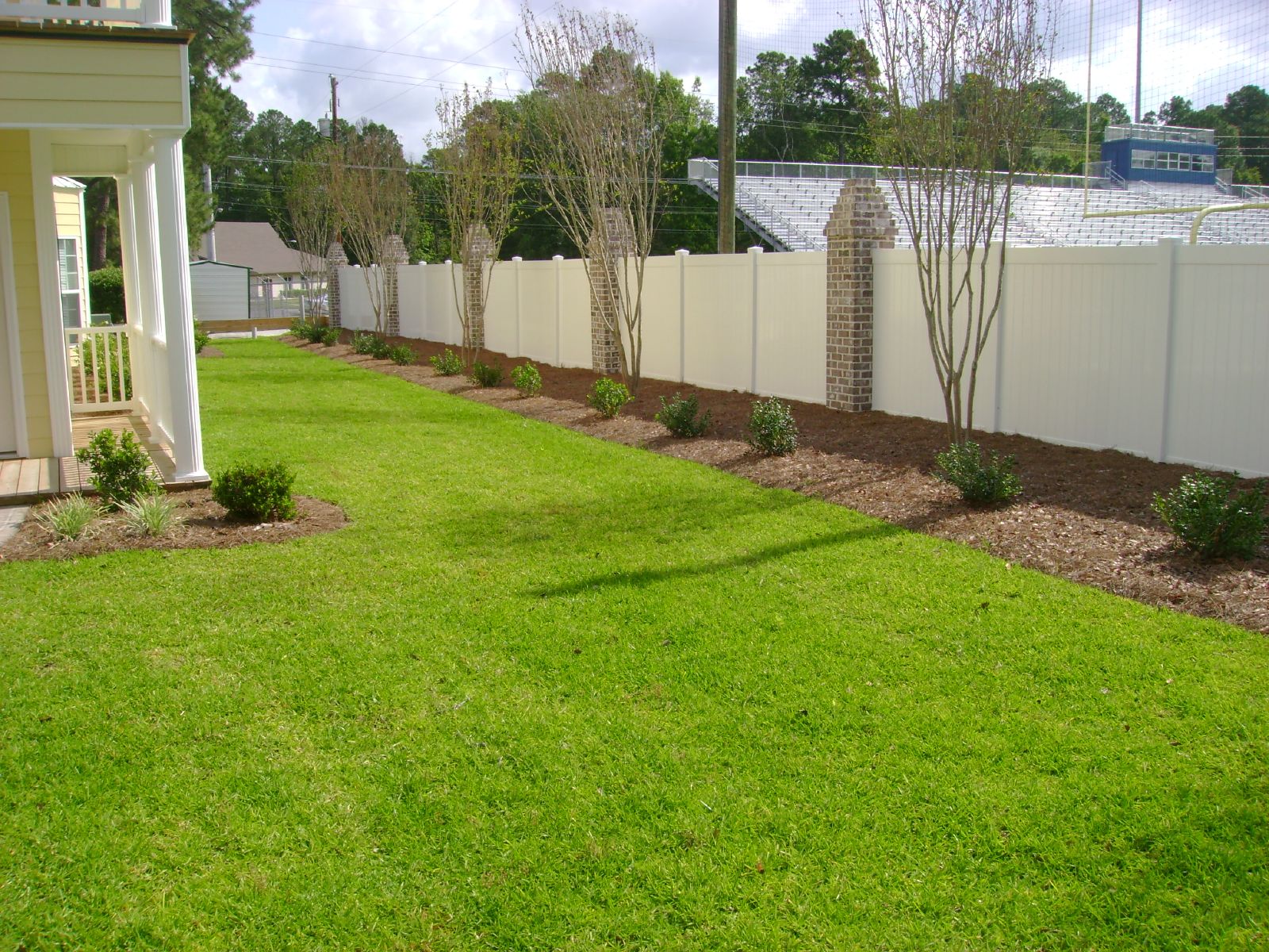
Bradwell Homes
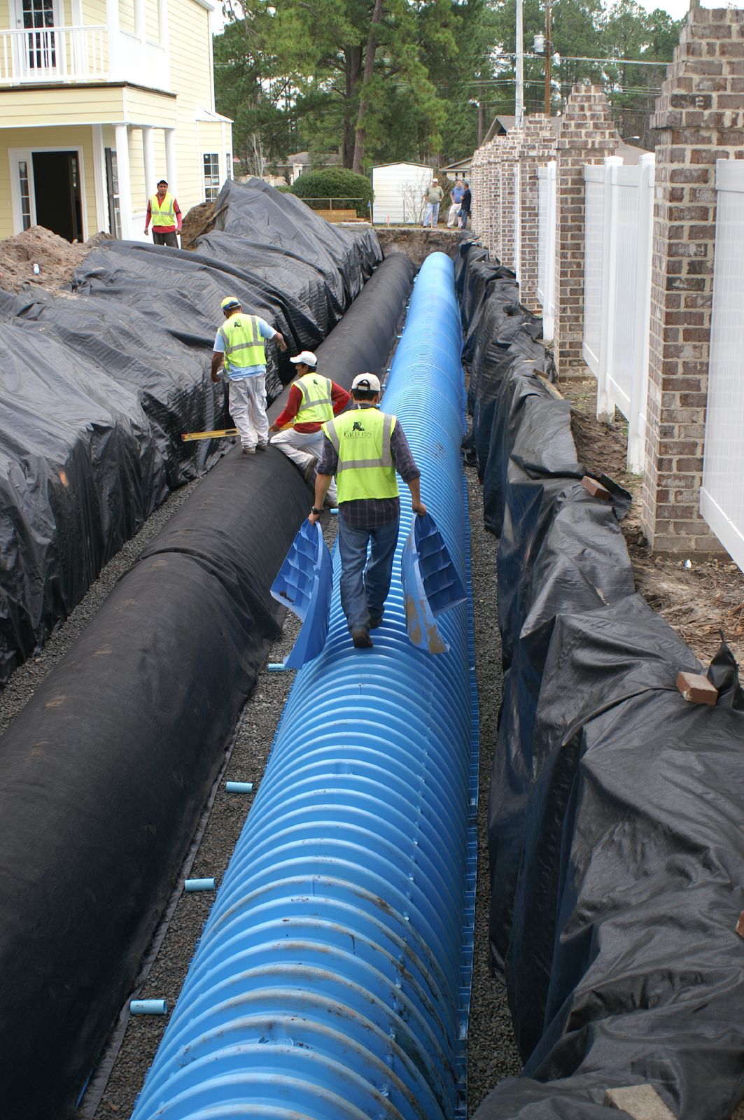
Bradwell Homes
P1000856
P1000833
P1000819

P1000810
P1000807
P1000806
P1000758
IMG_0081
IMG_0053
IMG_0026
IMG_0037
IMG_0030
IMG_0028
IMG_0224
IMG_0025
Topographic Map of W Oglethorpe Hwy, Hinesville, GA, USA
Find elevation by address:

Places near W Oglethorpe Hwy, Hinesville, GA, USA:
Maple Dr S, Hinesville, GA, USA
Garden Cir, Hinesville, GA, USA
Jane Ln, Hinesville, GA, USA
Hinesville
16 Dunlevie Rd, Hinesville, GA, USA
Olive St, Hinesville, GA, USA
910 Shady Ln
Ledgewood Circle
969 Hawthorne Ct
Floyd St, Hinesville, GA, USA
Holiday Inn Express & Suites Hinesville East - Fort Stewart
Ruben Wells Road
Fort Stewart
Walthourville
Oglethorpe Hwy, Hinesville, GA, USA
Lee Pl Rd NE, Ludowici, GA, USA
Merrell Ct, Fort Stewart, GA, USA
GA-38, Ludowici, GA, USA
1737 Pearl Davis Rd
Virgina Drive
Recent Searches:
- Elevation of Elwyn Dr, Roanoke Rapids, NC, USA
- Elevation of Congressional Dr, Stevensville, MD, USA
- Elevation of Bellview Rd, McLean, VA, USA
- Elevation of Stage Island Rd, Chatham, MA, USA
- Elevation of Shibuya Scramble Crossing, 21 Udagawacho, Shibuya City, Tokyo -, Japan
- Elevation of Jadagoniai, Kaunas District Municipality, Lithuania
- Elevation of Pagonija rock, Kranto 7-oji g. 8"N, Kaunas, Lithuania
- Elevation of Co Rd 87, Jamestown, CO, USA
- Elevation of Tenjo, Cundinamarca, Colombia
- Elevation of Côte-des-Neiges, Montreal, QC H4A 3J6, Canada