Elevation of Fort Stewart, GA, USA
Location: United States > Georgia > Liberty County >
Longitude: -81.608987
Latitude: 31.8690667
Elevation: 26m / 85feet
Barometric Pressure: 101KPa
Elevation Map:
Satellite Map:
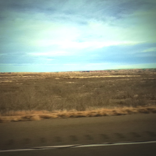
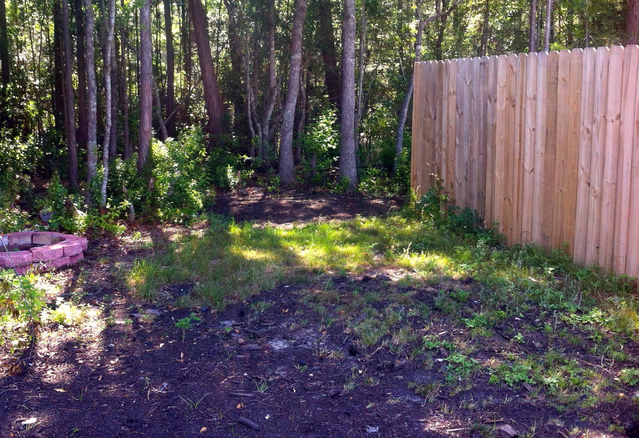
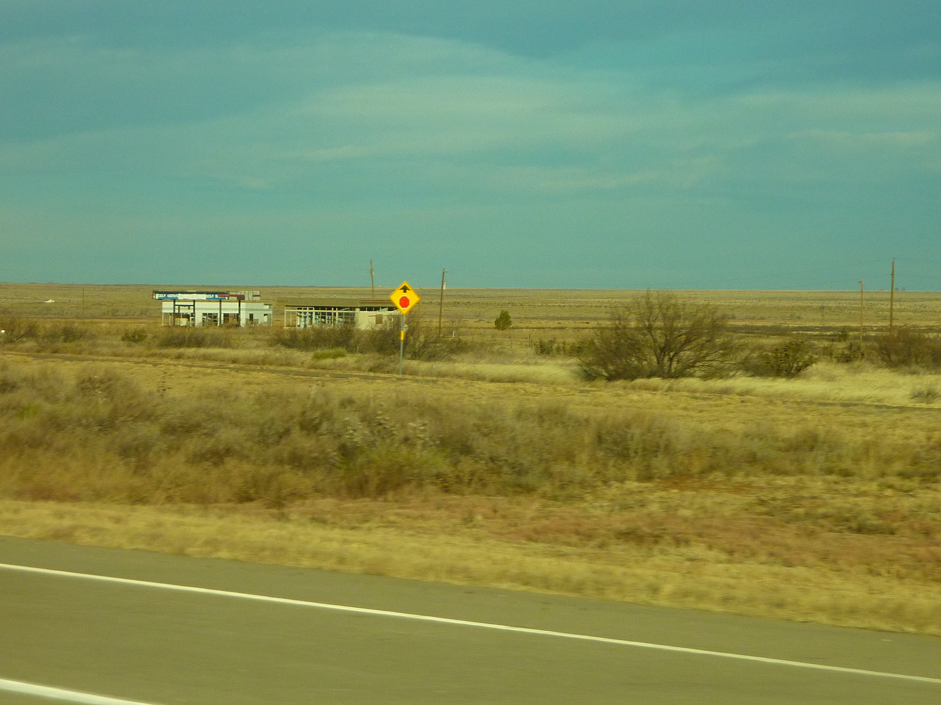
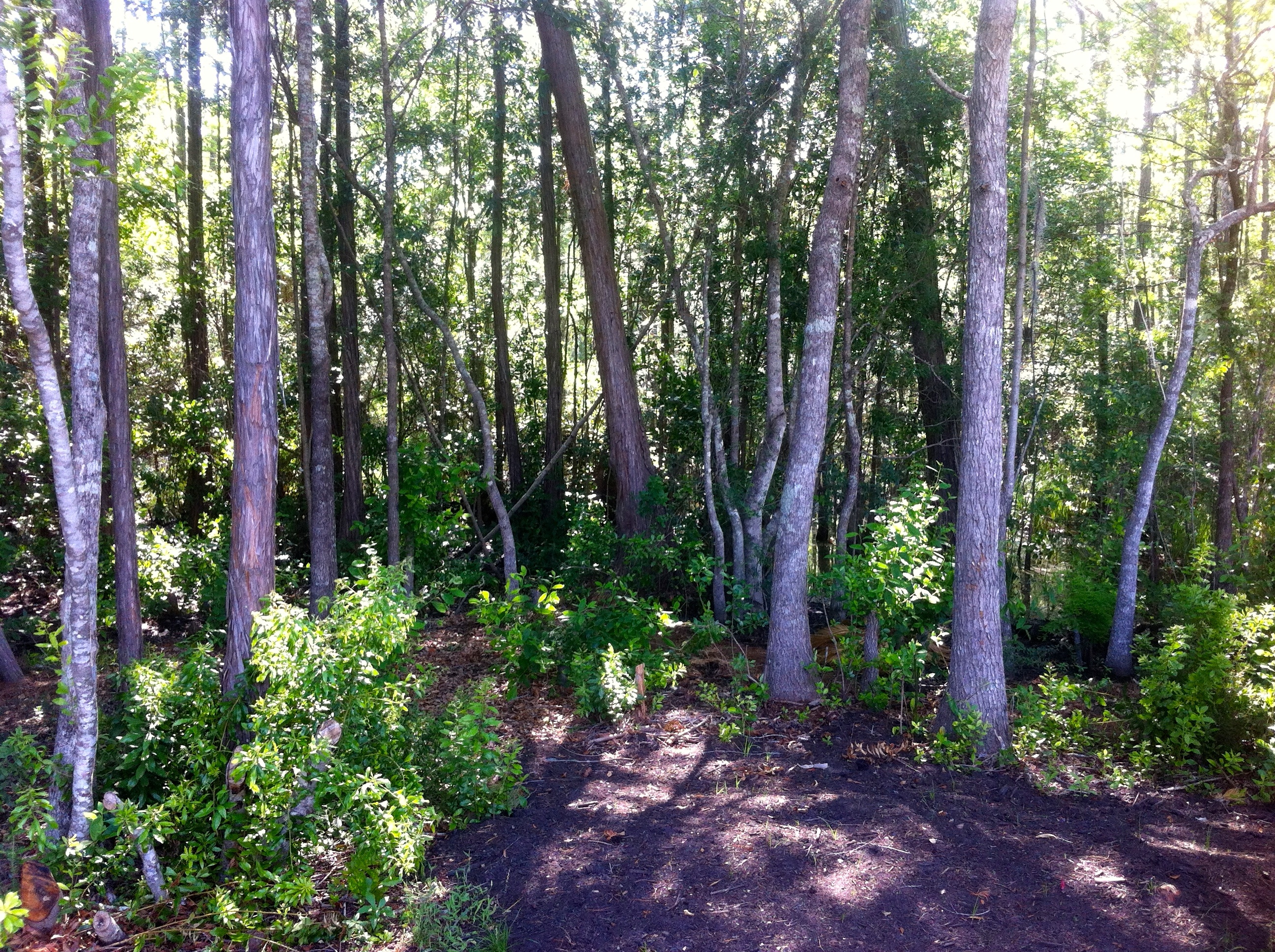
Related Photos:
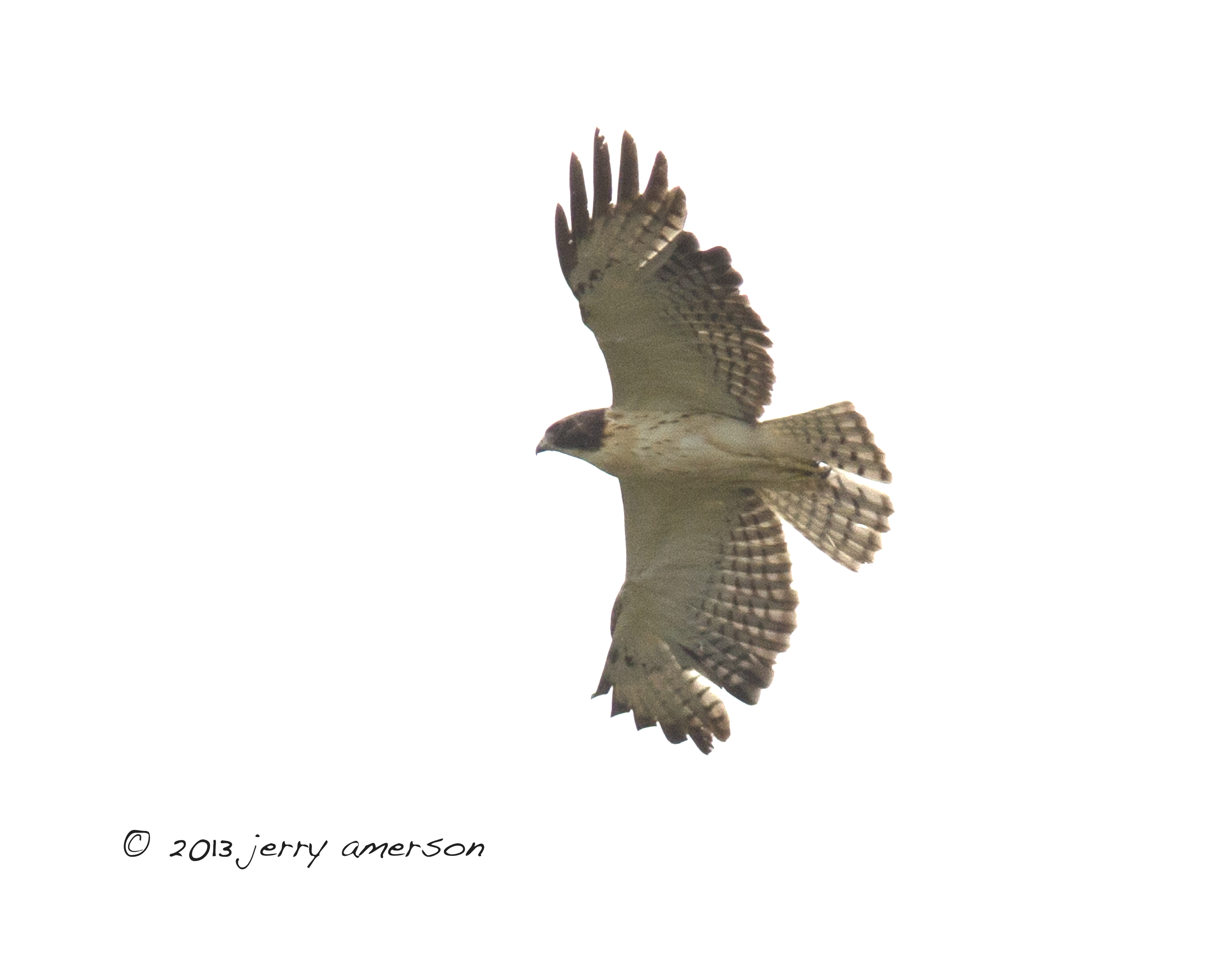
Short-tailed Hawk. GMNH 6959. Hinesville, Liberty County, 28 April 2013. Photo by Jerry Amerson

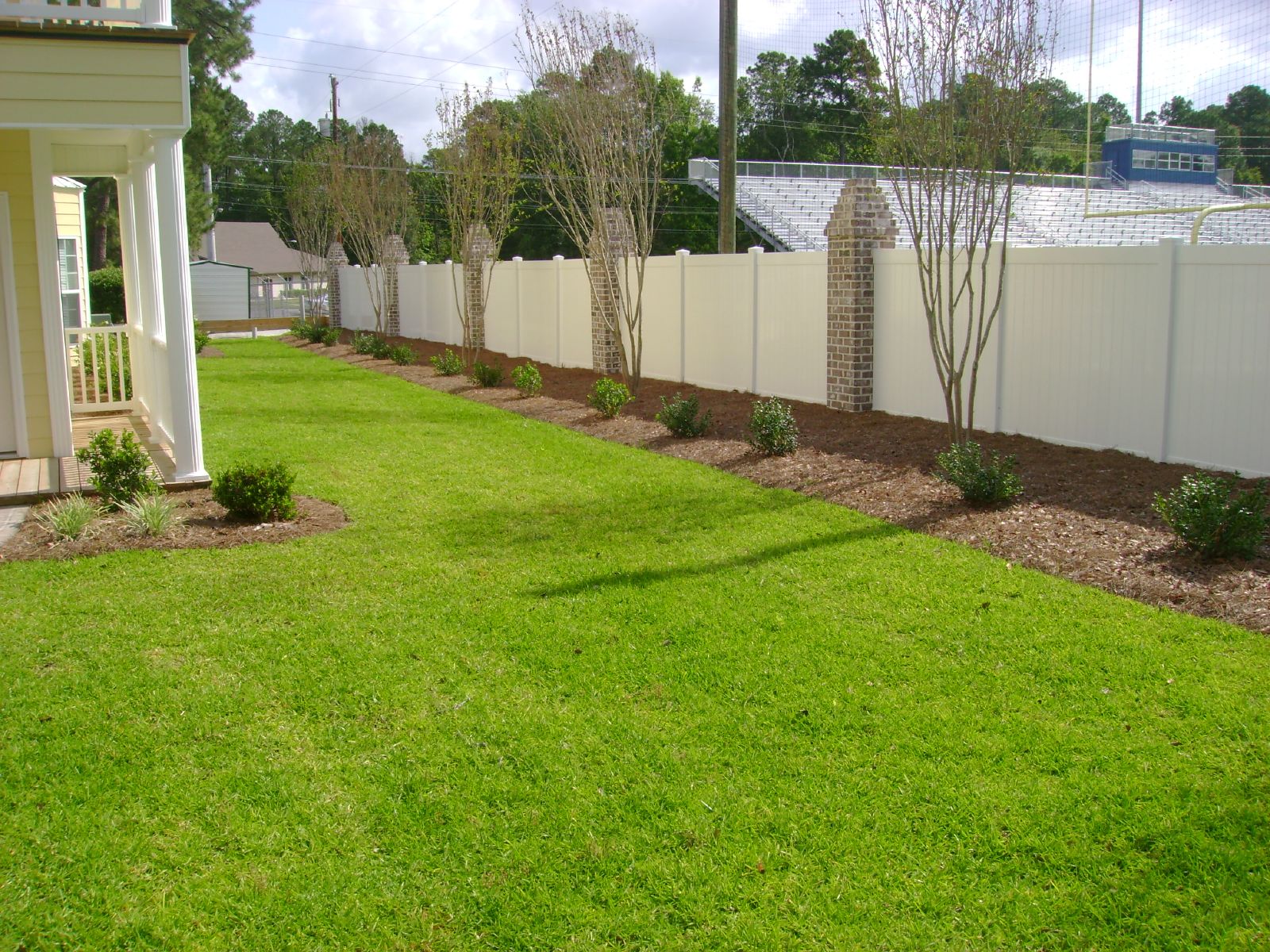
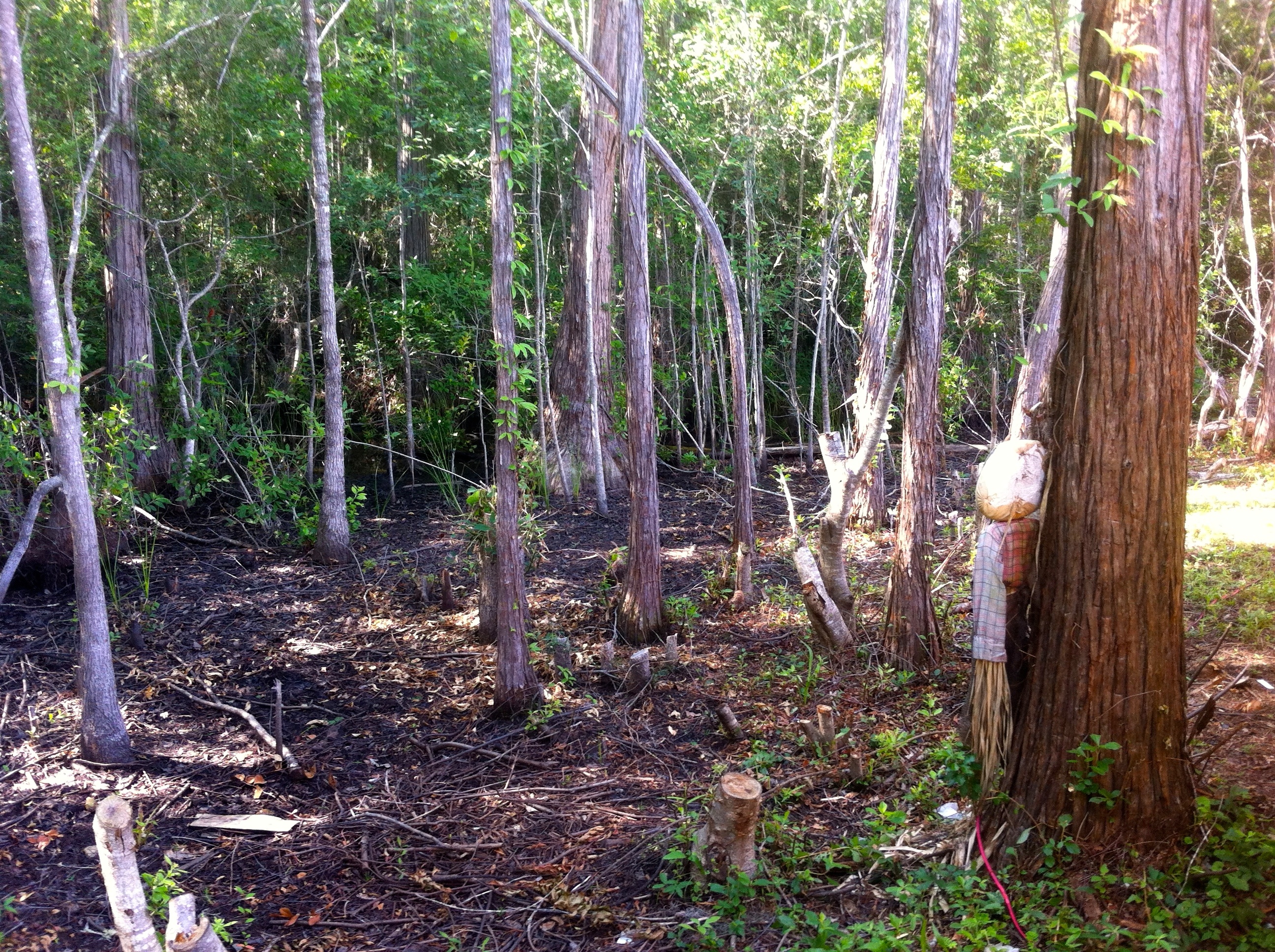
Bradwell Homes

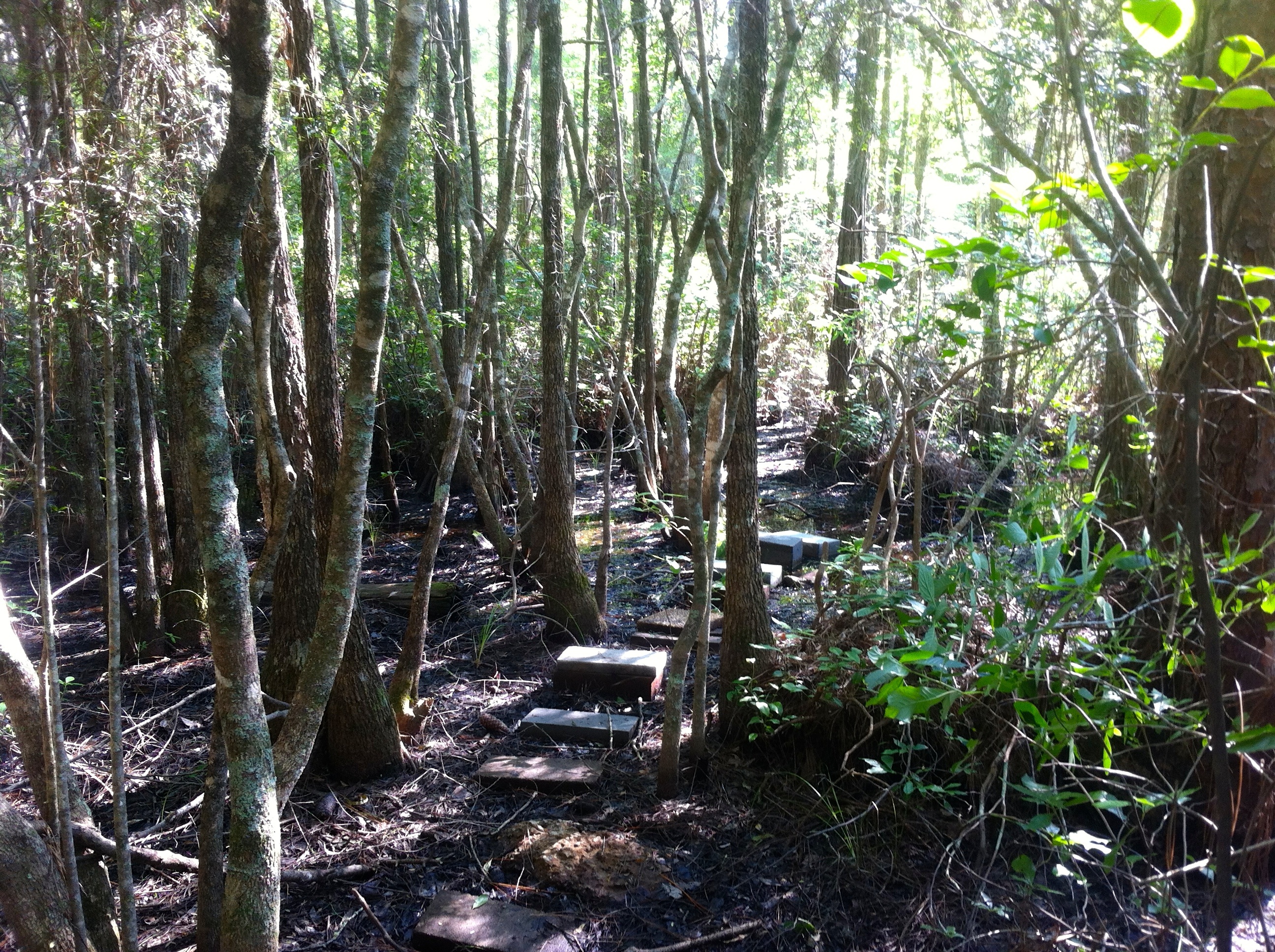
Bradwell Homes
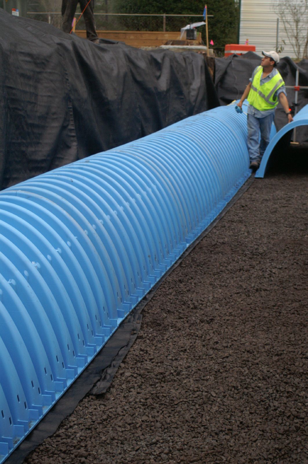
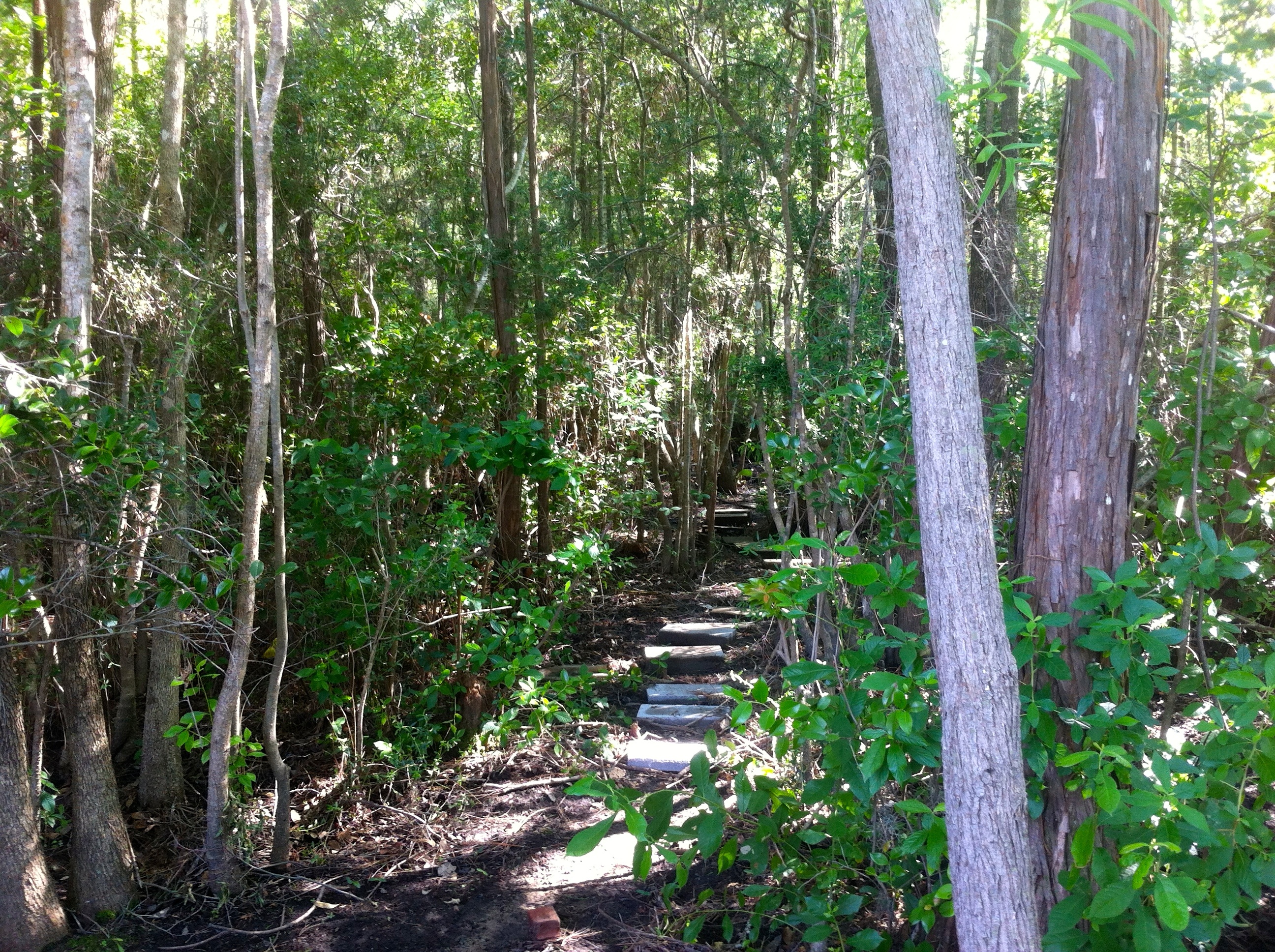
Bradwell Homes
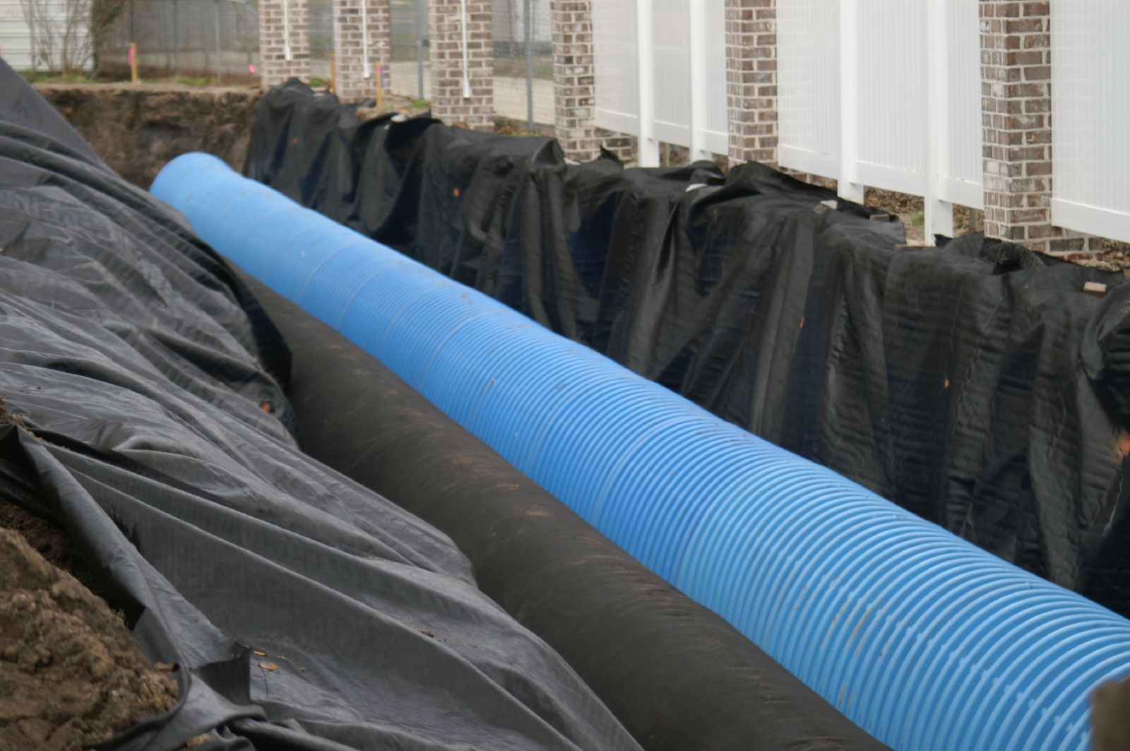
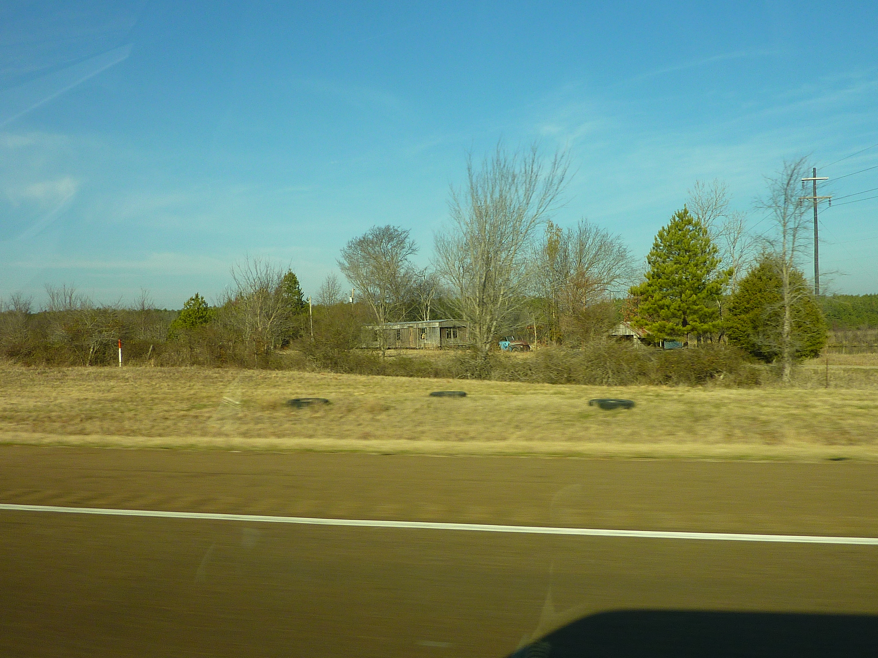
Bradwell Homes
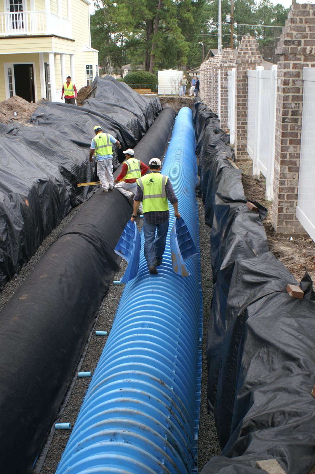
Bradwell Homes
Bradwell Homes
P1000819

P1000810

P1000833
P1000807
P1000856
IMG_0081
IMG_0025
P1000806
IMG_0026
IMG_0037

IMG_0053
IMG_0030
IMG_0028
P1000758
IMG_0224
Topographic Map of Fort Stewart, GA, USA
Find elevation by address:

Places in Fort Stewart, GA, USA:
Places near Fort Stewart, GA, USA:
Ledgewood Circle
Olive St, Hinesville, GA, USA
Floyd St, Hinesville, GA, USA
969 Hawthorne Ct
Hinesville
Merrell Ct, Fort Stewart, GA, USA
910 Shady Ln
Holiday Inn Express & Suites Hinesville East - Fort Stewart
Garden Cir, Hinesville, GA, USA
Jane Ln, Hinesville, GA, USA
Ruben Wells Road
W Oglethorpe Hwy, Hinesville, GA, USA
Maple Dr S, Hinesville, GA, USA
16 Dunlevie Rd, Hinesville, GA, USA
Walthourville
Oglethorpe Hwy, Hinesville, GA, USA
Lee Pl Rd NE, Ludowici, GA, USA
GA-38, Ludowici, GA, USA
1737 Pearl Davis Rd
145 Madison Ave Ne
Recent Searches:
- Elevation of Fern Rd, Whitmore, CA, USA
- Elevation of 62 Abbey St, Marshfield, MA, USA
- Elevation of Fernwood, Bradenton, FL, USA
- Elevation of Felindre, Swansea SA5 7LU, UK
- Elevation of Leyte Industrial Development Estate, Isabel, Leyte, Philippines
- Elevation of W Granada St, Tampa, FL, USA
- Elevation of Pykes Down, Ivybridge PL21 0BY, UK
- Elevation of Jalan Senandin, Lutong, Miri, Sarawak, Malaysia
- Elevation of Bilohirs'k
- Elevation of 30 Oak Lawn Dr, Barkhamsted, CT, USA