Elevation of Shady Ln, Hinesville, GA, USA
Location: United States > Georgia > Liberty County > Hinesville >
Longitude: -81.624701
Latitude: 31.8446117
Elevation: 24m / 79feet
Barometric Pressure: 101KPa
Elevation Map:
Satellite Map:
Related Photos:
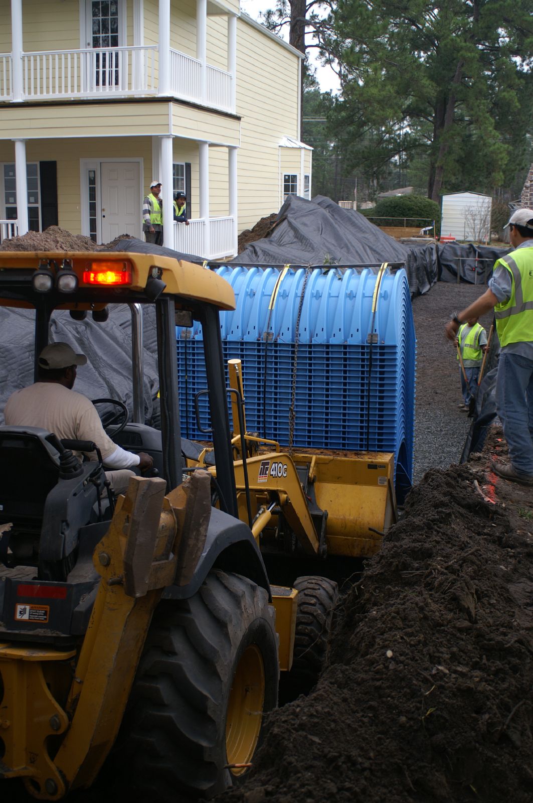
Bradwell Homes

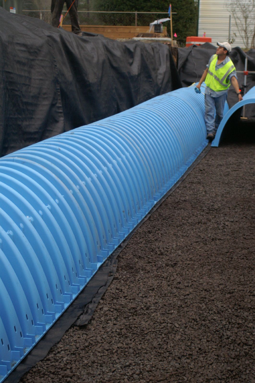
Bradwell Homes
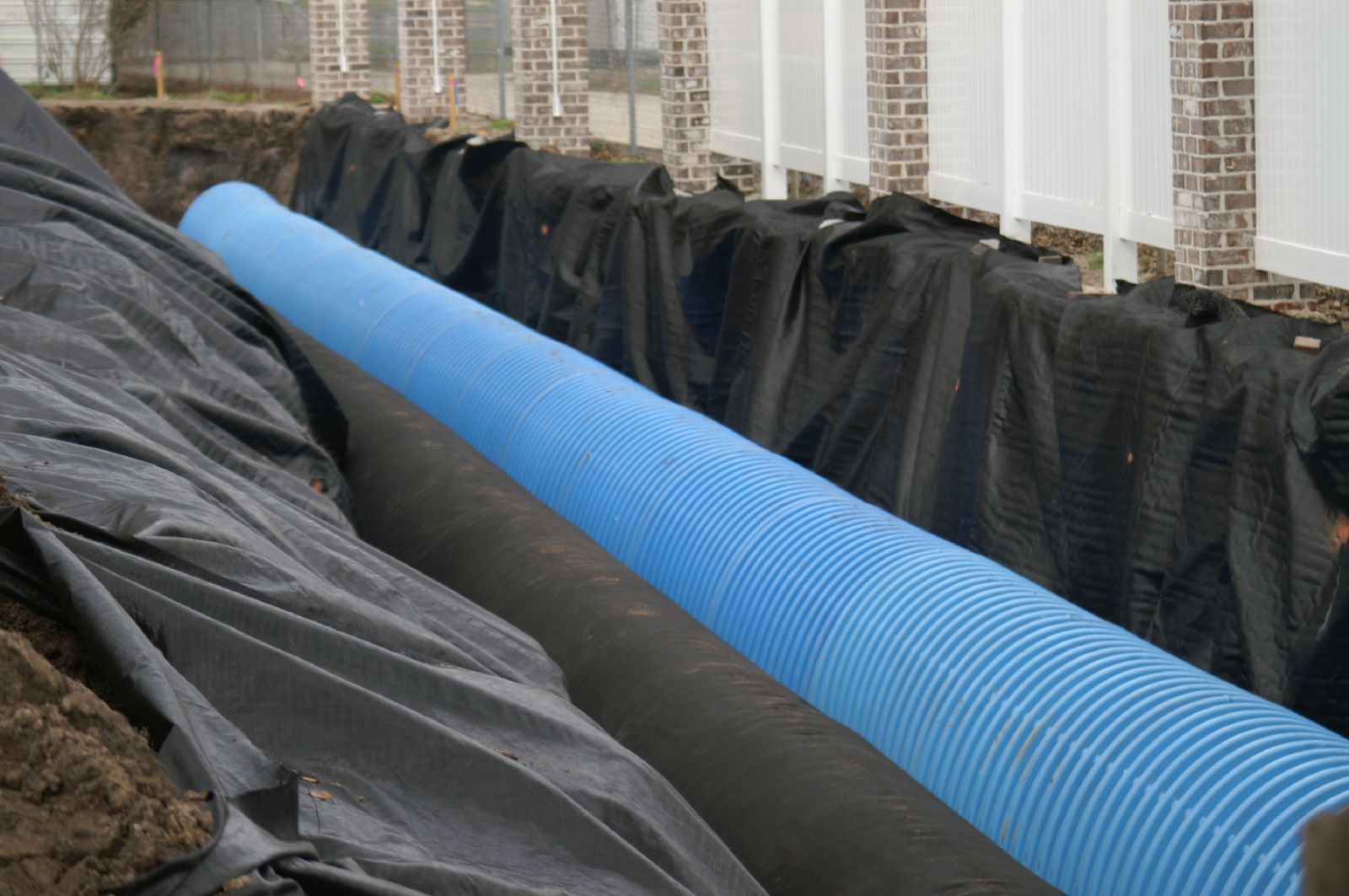
Bradwell Homes
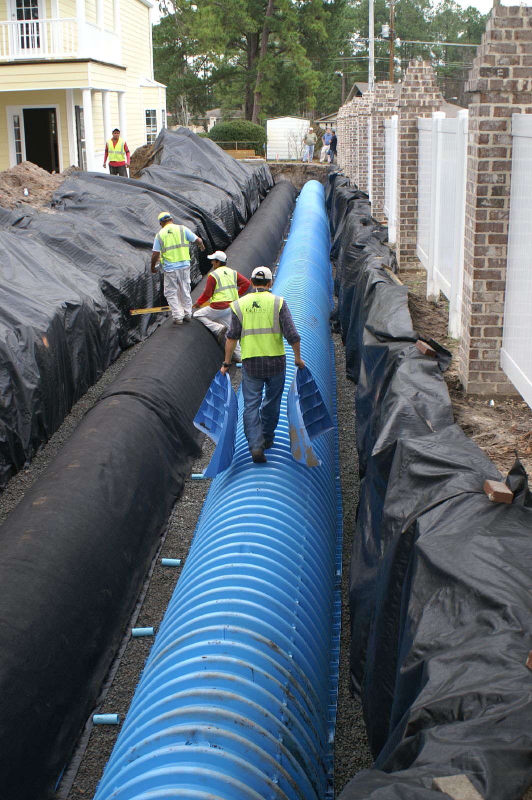
Bradwell Homes
Bradwell Homes
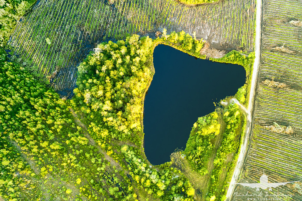
Rural Georgia_DJI_0125
Rural Georgia_DJI_0154
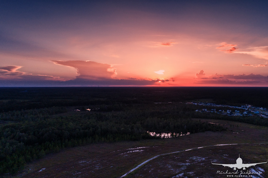
Rural Georgia Sunset_DJI_0158
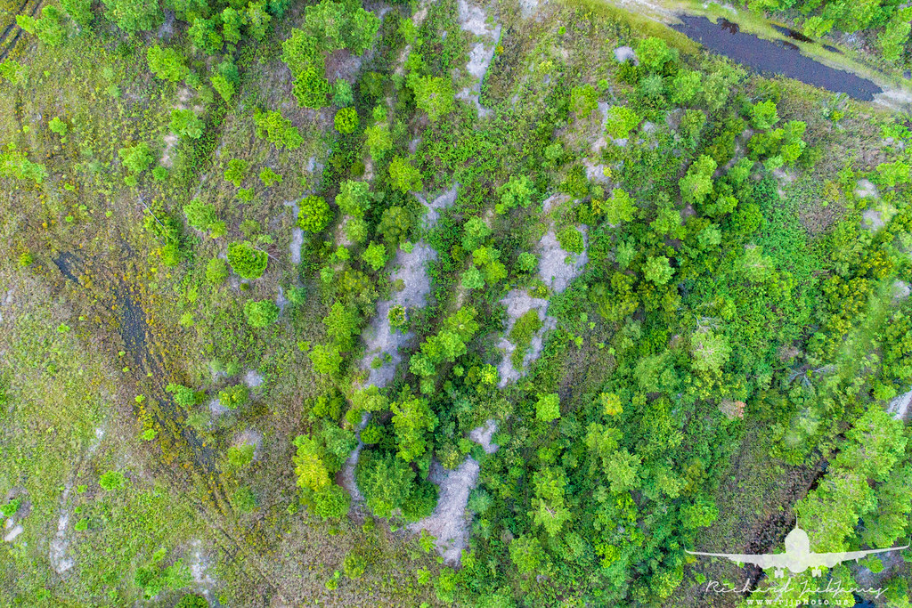
Rural Georgia_DJI_0174
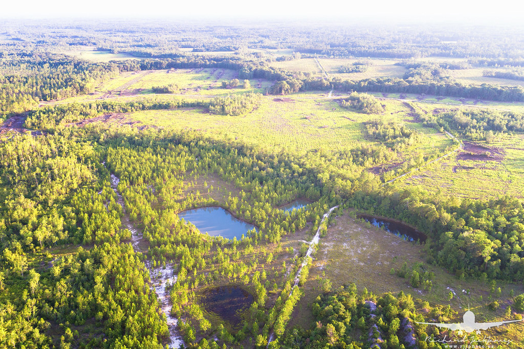
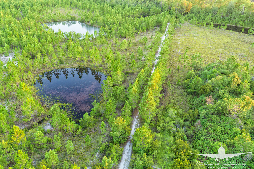
Rural- fishing ponds_DJI_0034
Topographic Map of Shady Ln, Hinesville, GA, USA
Find elevation by address:

Places near Shady Ln, Hinesville, GA, USA:
969 Hawthorne Ct
Ledgewood Circle
Olive St, Hinesville, GA, USA
Jane Ln, Hinesville, GA, USA
Ruben Wells Road
Garden Cir, Hinesville, GA, USA
Hinesville
Fort Stewart
W Oglethorpe Hwy, Hinesville, GA, USA
Floyd St, Hinesville, GA, USA
Maple Dr S, Hinesville, GA, USA
Holiday Inn Express & Suites Hinesville East - Fort Stewart
Merrell Ct, Fort Stewart, GA, USA
16 Dunlevie Rd, Hinesville, GA, USA
Lee Pl Rd NE, Ludowici, GA, USA
Walthourville
Oglethorpe Hwy, Hinesville, GA, USA
GA-38, Ludowici, GA, USA
1737 Pearl Davis Rd
145 Madison Ave Ne
Recent Searches:
- Elevation of Elwyn Dr, Roanoke Rapids, NC, USA
- Elevation of Congressional Dr, Stevensville, MD, USA
- Elevation of Bellview Rd, McLean, VA, USA
- Elevation of Stage Island Rd, Chatham, MA, USA
- Elevation of Shibuya Scramble Crossing, 21 Udagawacho, Shibuya City, Tokyo -, Japan
- Elevation of Jadagoniai, Kaunas District Municipality, Lithuania
- Elevation of Pagonija rock, Kranto 7-oji g. 8"N, Kaunas, Lithuania
- Elevation of Co Rd 87, Jamestown, CO, USA
- Elevation of Tenjo, Cundinamarca, Colombia
- Elevation of Côte-des-Neiges, Montreal, QC H4A 3J6, Canada