Elevation of Waldegrave, NS B0K, Canada
Location: Canada > Nova Scotia > Colchester County > Colchester, Subd. B >
Longitude: -63.231566
Latitude: 45.718198
Elevation: 10m / 33feet
Barometric Pressure: 101KPa
Elevation Map:
Satellite Map:
Related Photos:

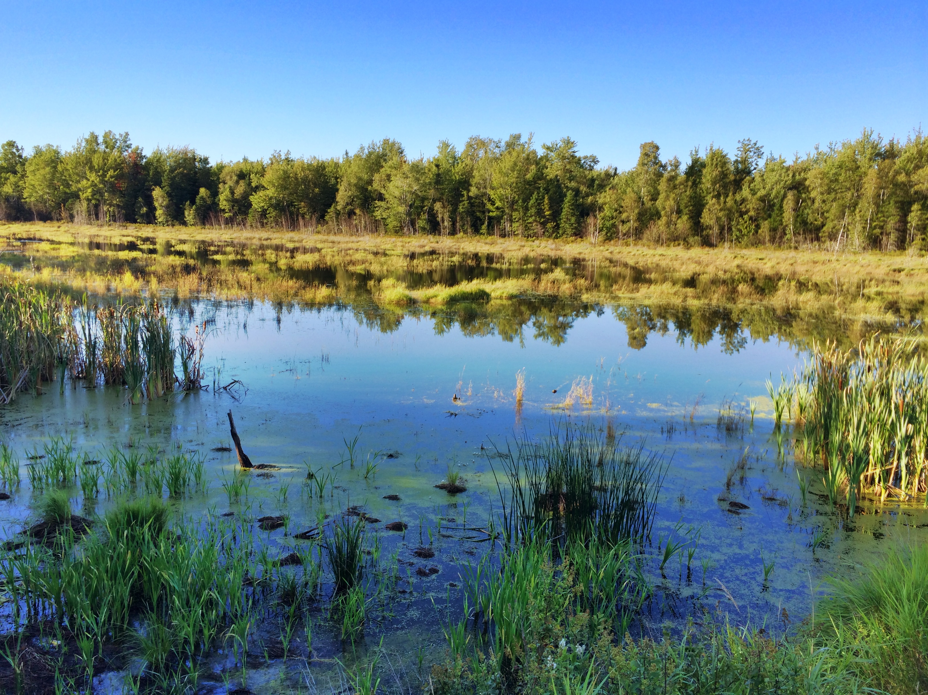
Snail's Pace

Common Green Darner - Nova Scotia

Aerial view of the town of Tatamagouche, Nova Scotia alongside the Waugh River - Kite Aerial Photography (KAP)
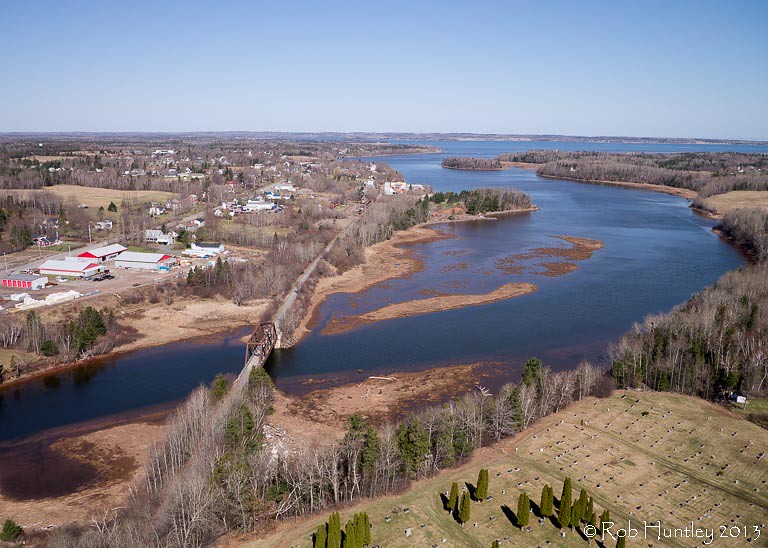
Aerial view of the town of Tatamagouche, Nova Scotia alongside the Waugh River - Kite Aerial Photography (KAP)

Aerial view of the Waugh River flowing past Tatamagouche, Nova Scotia - Kite Aerial Photography (KAP)
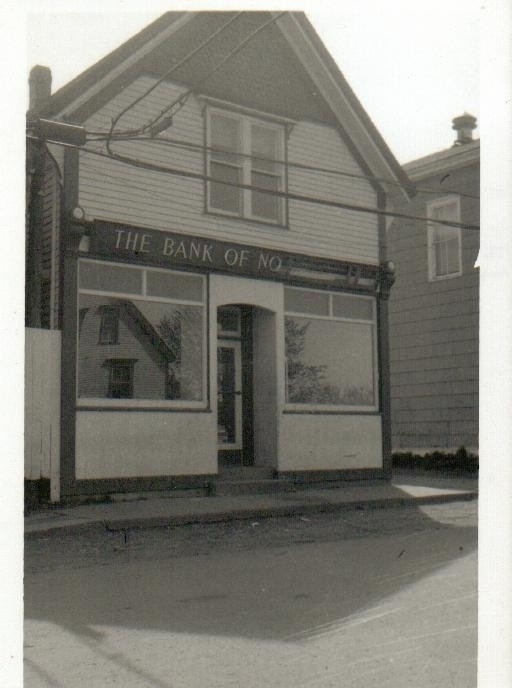
The Bank of No
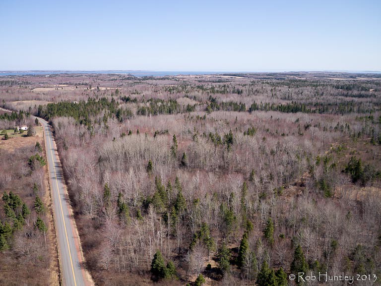
Aerial view of a road through the countryside near Tatamagouche, Nova Scotia - Kite Aerial Photography (KAP)

Atlantic Ocean / view of where we're staying from the Atlantic Ocean. #greasemarks #private beach #maritimerockabillyshakedown #nolittlemarks
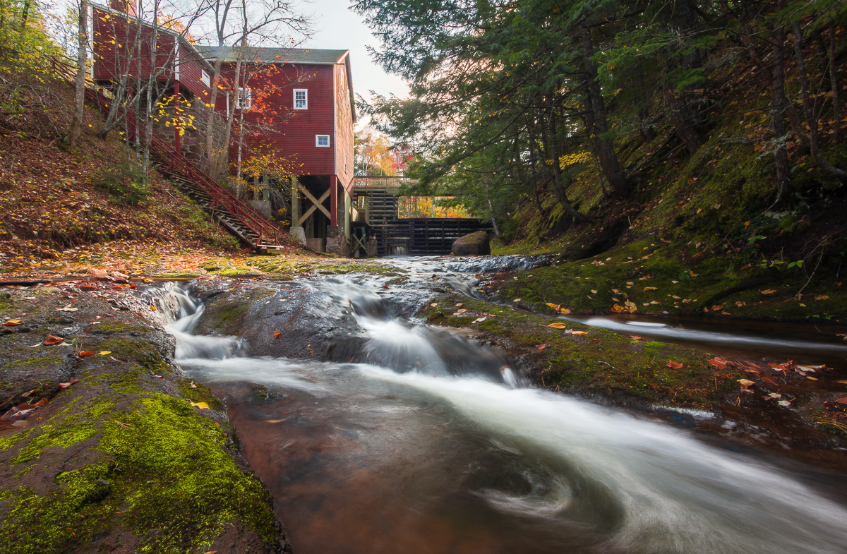
Balmoral Grist Mill

Balmoral Grist Mill
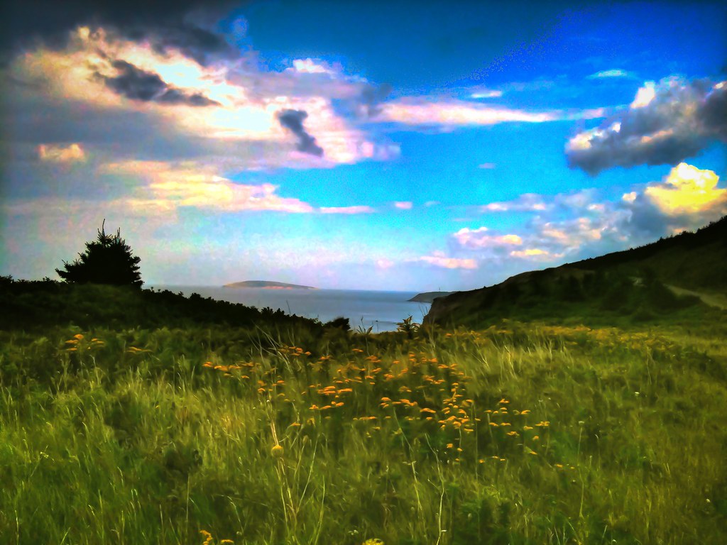
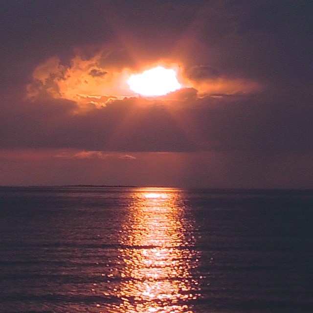
Nova Scotia Coast (HDR)
River John
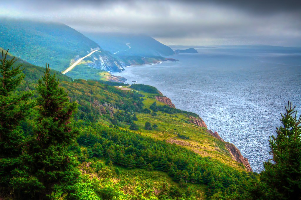
Nova Scotia Coast (HDR)
Nova Scotia Coast (HDR)

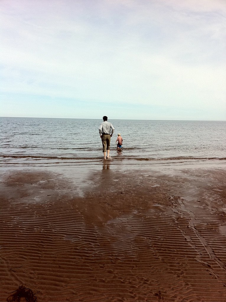
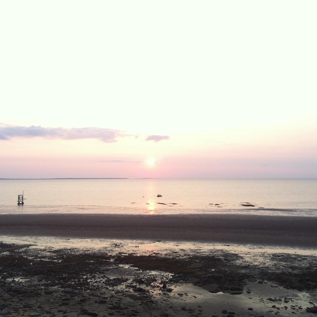
Low Tide
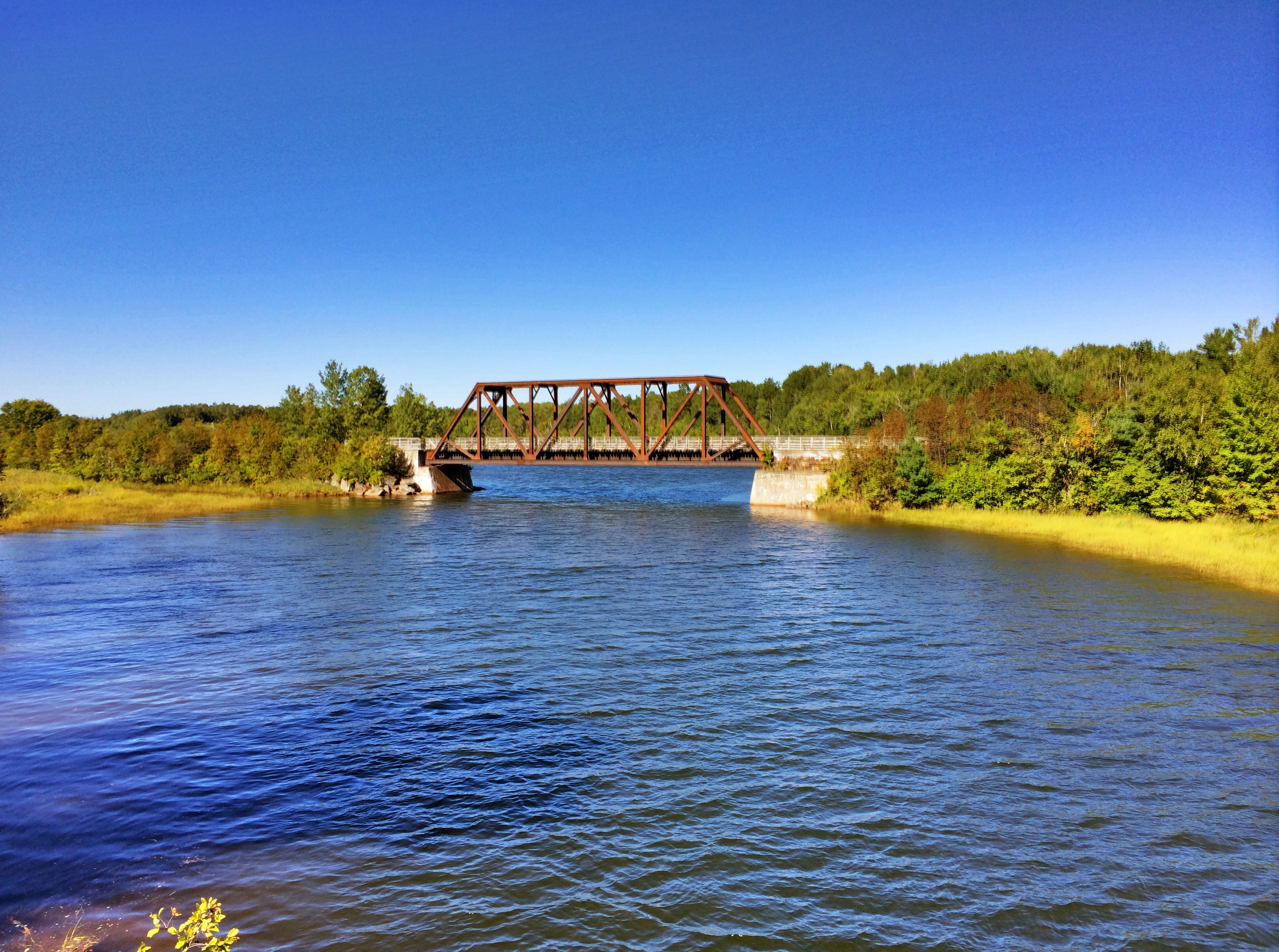
Tatamagouche Bridge
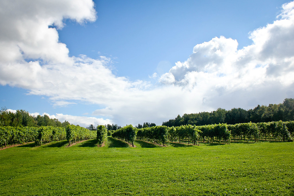
Jost Vineyard
Malagash, NS
Does this get boring...uhm NO!! #NovaScotiaBeaches #Canada #PerfectWeather
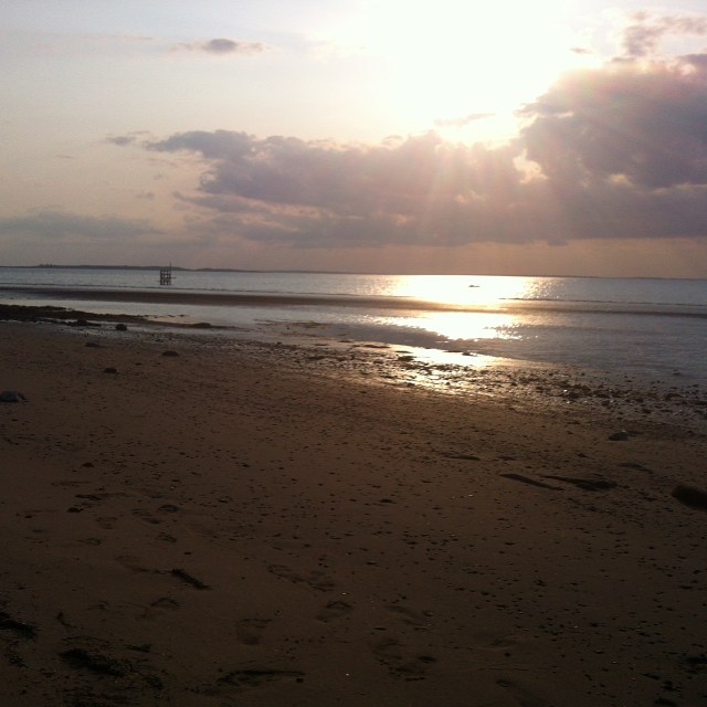
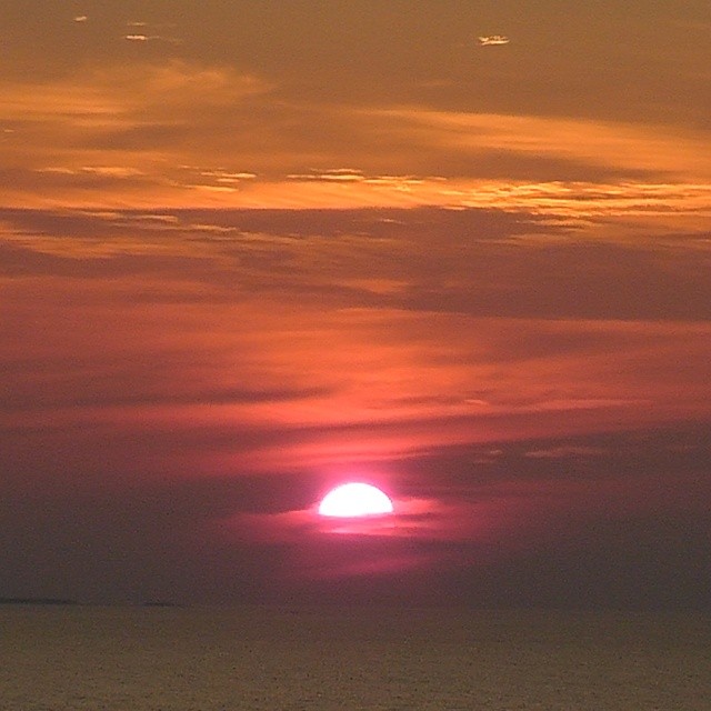
#BruleBeach #EpicSunsets #BeachLife
For those of you who haven't been fortunate to experience Brule Beach sunsets...enjoy the following photos #BruleBeach #EpicSunsets
Wishin you were here..;) No really...its quiet as he'll here..lol
Beautiful Brule at high tide...
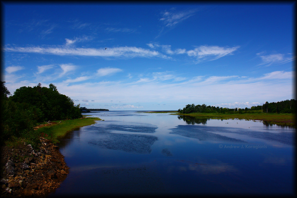
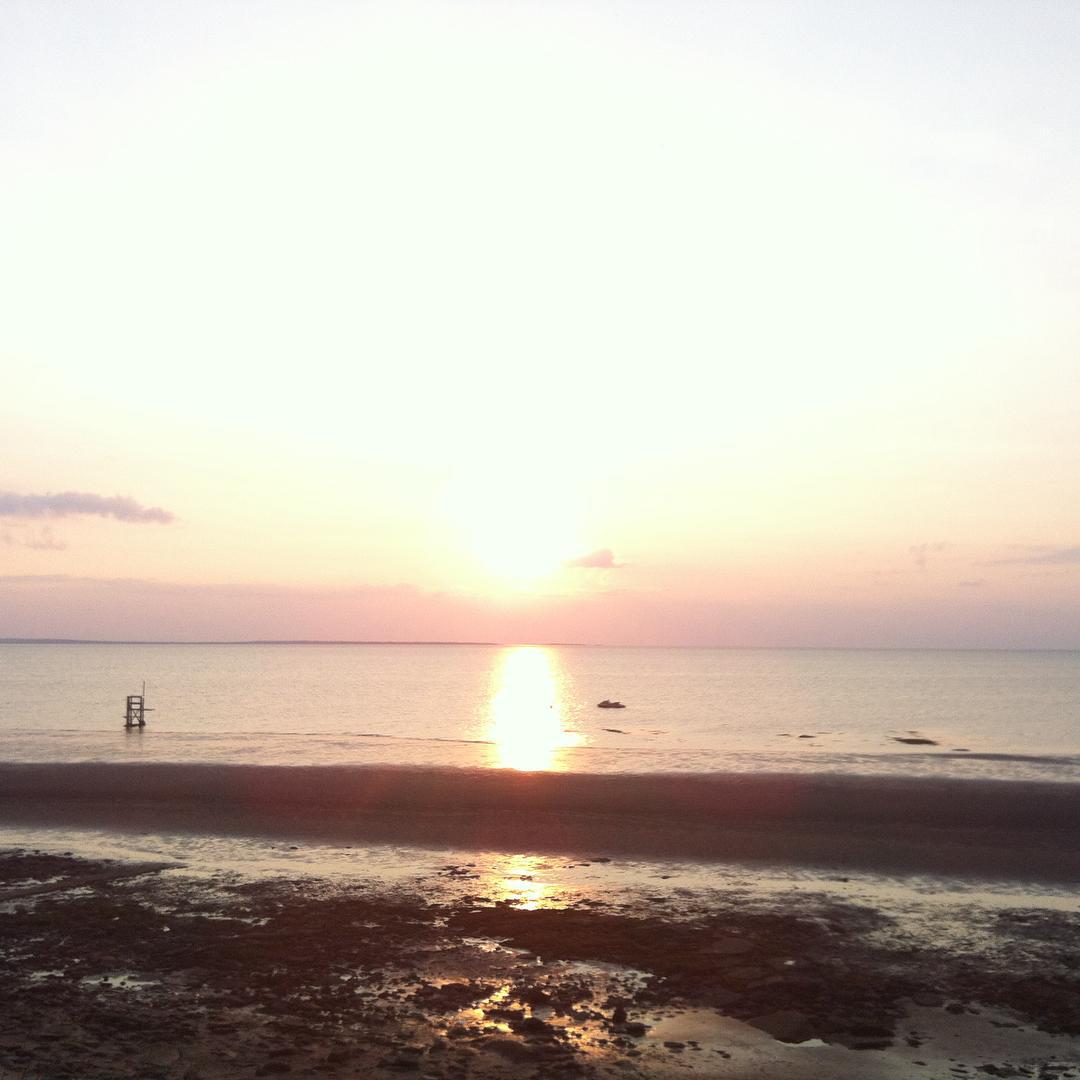
Tatamagouche Reflection
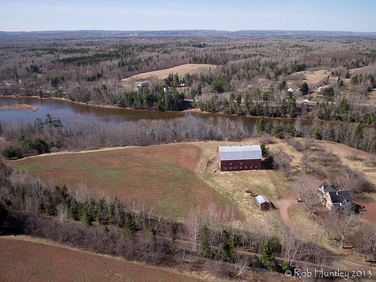
Aerial photograph of a barn in the countryside near Tatamagouche, Nova Scotia. The Waugh River is in the background. - Kite Aerial Photography (KAP)
Topographic Map of Waldegrave, NS B0K, Canada
Find elevation by address:

Places in Waldegrave, NS B0K, Canada:
Places near Waldegrave, NS B0K, Canada:
11 Alex Cox Rd, Tatamagouche, NS B0K 1V0, Canada
1073 Upper River John Rd
Barrachois
B0k 1v0
Balfron
Balmoral Rd, Tatamagouche, NS B0K 1V0, Canada
Matheson Brook Rd, Tatamagouche, NS B0K 1V0, Canada
Malagash Point
Balmoral Mills
The Falls
Nova Scotia 326
68 College Grant Rd
805 Cape John Rd
Nuttby Mountain
Nuttby
River John
174 Roger Rd
NS-, Tatamagouche, NS B0K 1V0, Canada
6 Allen Rd, River John, NS B0K 1N0, Canada
Kemptown Road
Recent Searches:
- Elevation of Corso Fratelli Cairoli, 35, Macerata MC, Italy
- Elevation of Tallevast Rd, Sarasota, FL, USA
- Elevation of 4th St E, Sonoma, CA, USA
- Elevation of Black Hollow Rd, Pennsdale, PA, USA
- Elevation of Oakland Ave, Williamsport, PA, USA
- Elevation of Pedrógão Grande, Portugal
- Elevation of Klee Dr, Martinsburg, WV, USA
- Elevation of Via Roma, Pieranica CR, Italy
- Elevation of Tavkvetili Mountain, Georgia
- Elevation of Hartfords Bluff Cir, Mt Pleasant, SC, USA