Elevation of Nova Scotia, NS-, Colchester, Subd. B, NS B0K, Canada
Location: Canada > Nova Scotia > Colchester County > Colchester, Subd. B >
Longitude: -63.133453
Latitude: 45.6628706
Elevation: 84m / 276feet
Barometric Pressure: 100KPa
Elevation Map:
Satellite Map:
Related Photos:

Waterfall at Earltown
Happy New Year 2018!

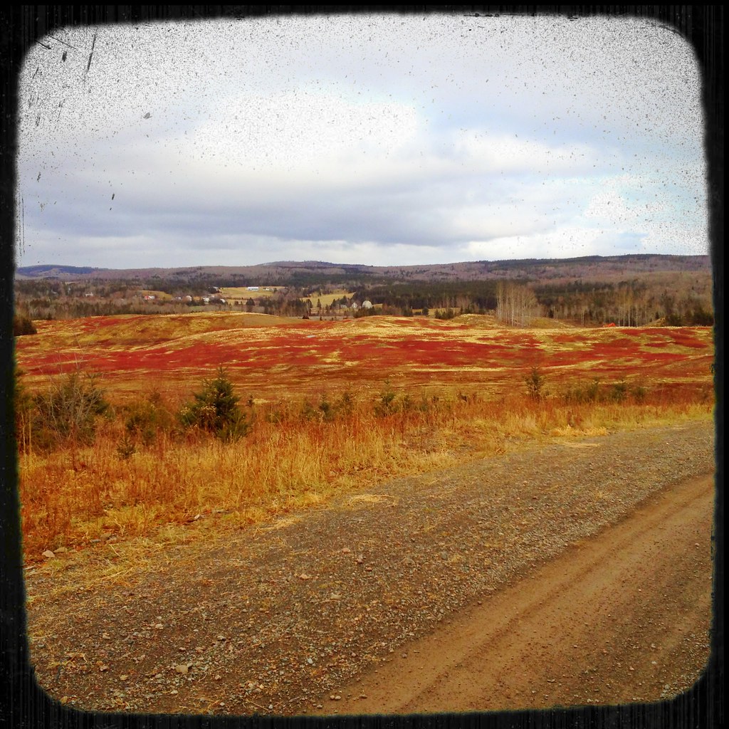
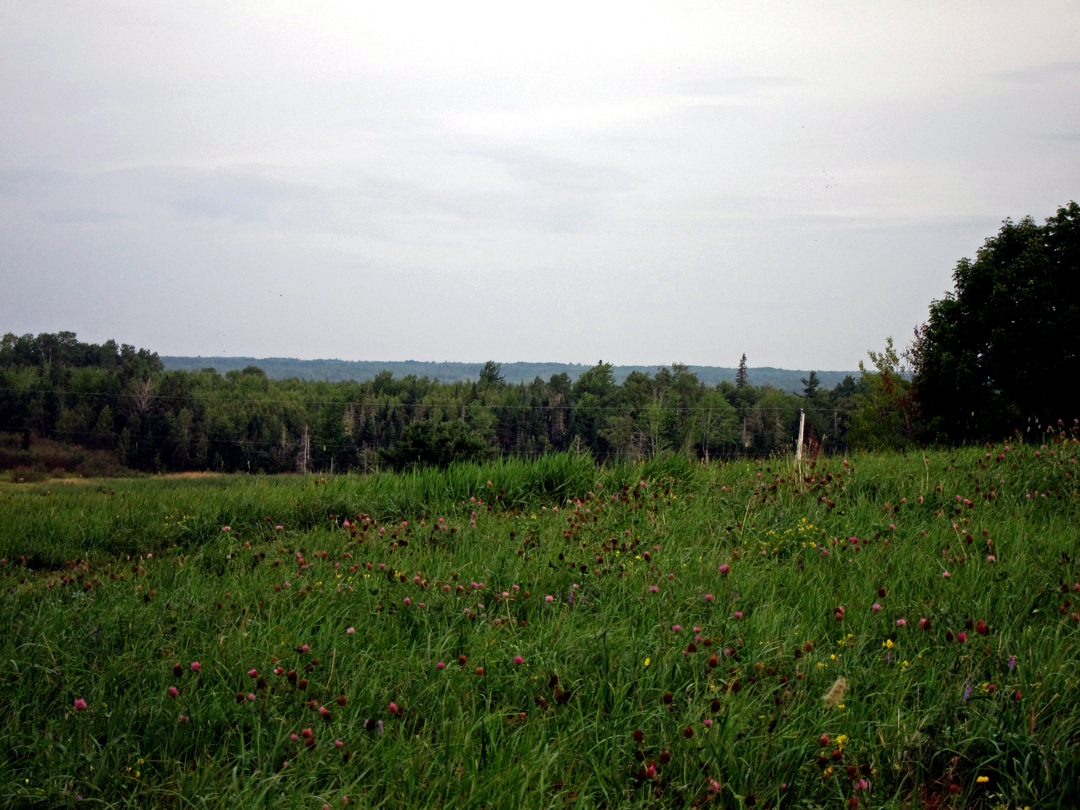
Waiting for spring
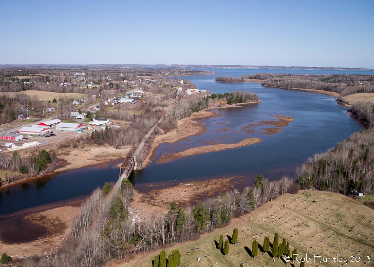
Aerial view of the town of Tatamagouche, Nova Scotia alongside the Waugh River - Kite Aerial Photography (KAP)

Aerial view of the town of Tatamagouche, Nova Scotia alongside the Waugh River - Kite Aerial Photography (KAP)

Aerial view of the Waugh River flowing past Tatamagouche, Nova Scotia - Kite Aerial Photography (KAP)

WW2 Crash Site Memorial

Dalhousie Mtn Wind Farm
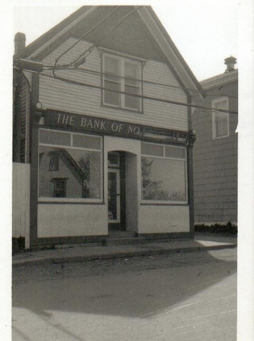
The Bank of No

Willis Cemetery
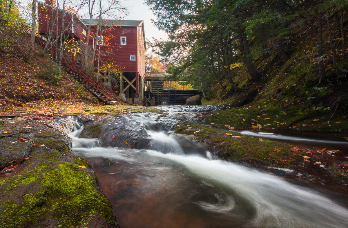
Balmoral Grist Mill
Solo adventure Saturday

Waterfall at Earltown2
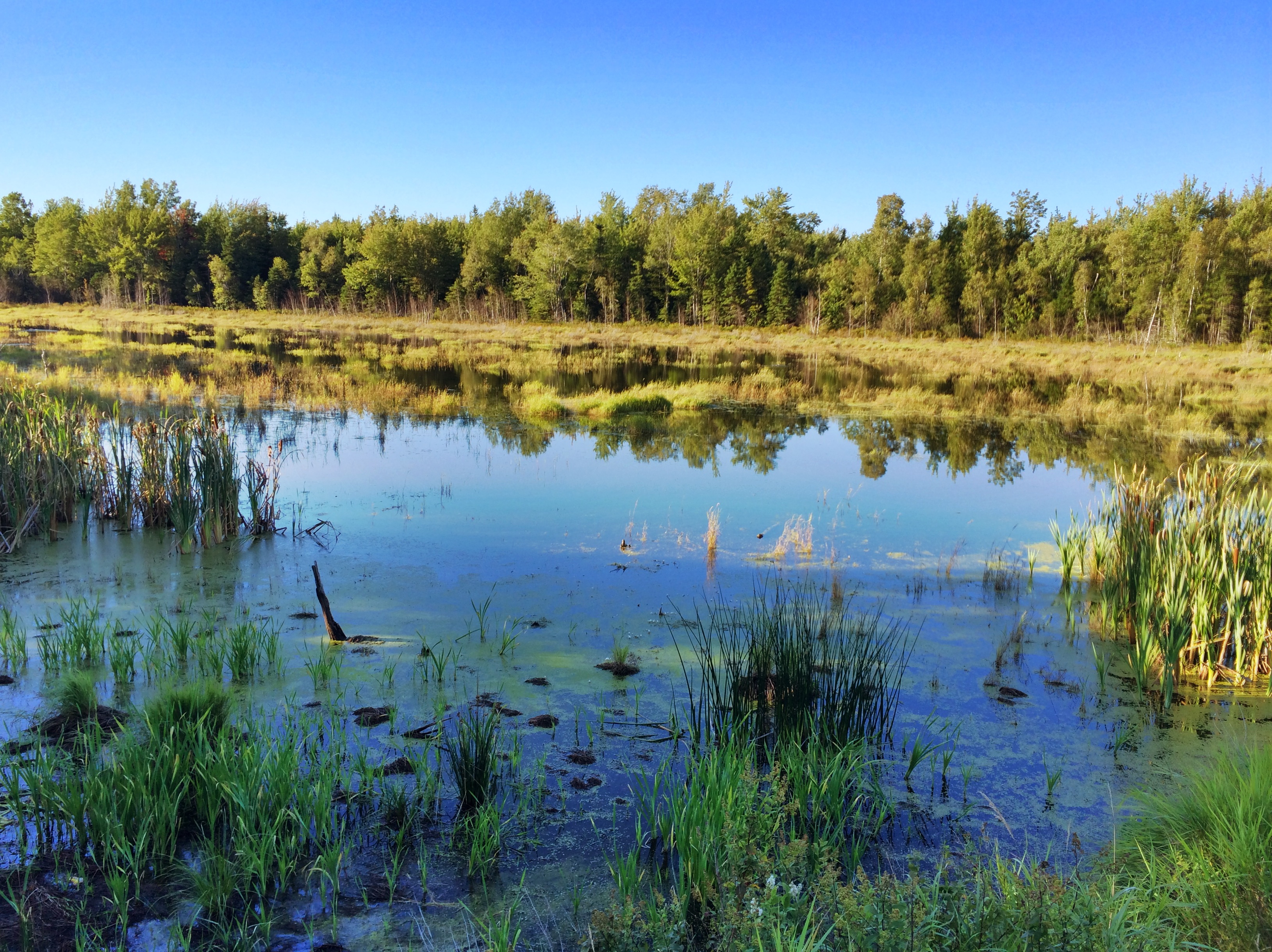
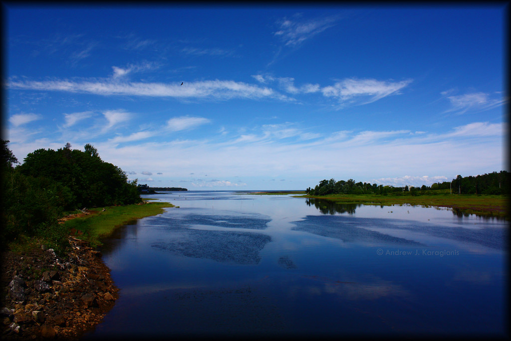
Tatamagouche Reflection
_DSC4289.jpg
Broken mirror
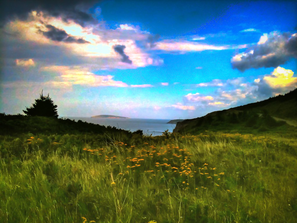
Nova Scotia Coast (HDR)
River John

Balmoral Grist Mill
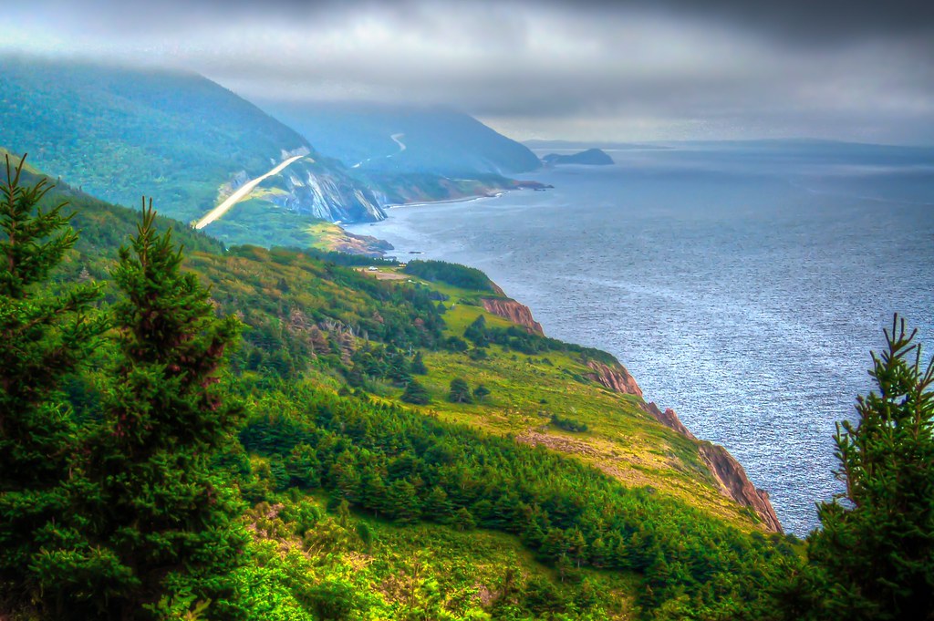
Nova Scotia Coast (HDR)
Nova Scotia Coast (HDR)

Low Tide
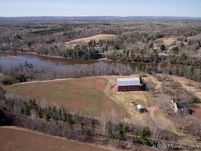
Aerial photograph of a barn in the countryside near Tatamagouche, Nova Scotia. The Waugh River is in the background. - Kite Aerial Photography (KAP)
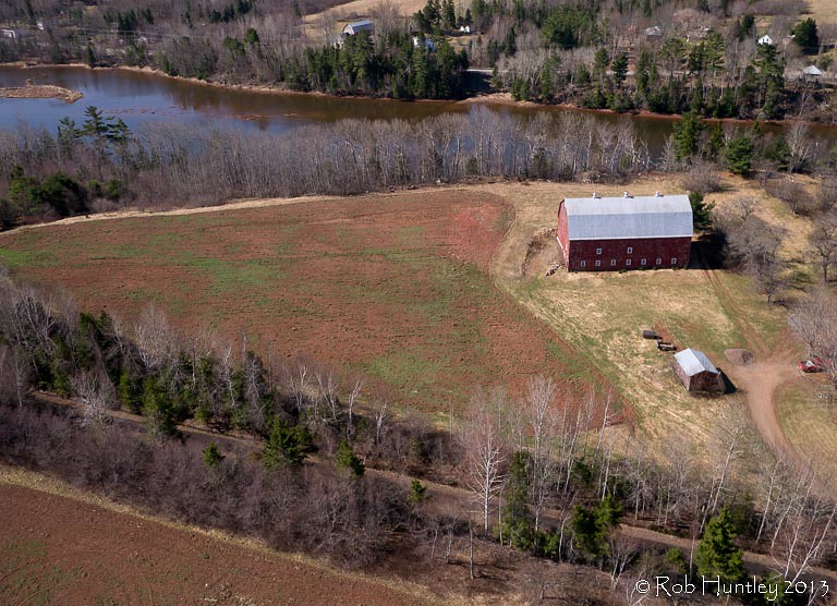
Aerial photograph of a barn in the countryside near Tatamagouche, Nova Scotia. The Waugh River is in the background. - Kite Aerial Photography (KAP)
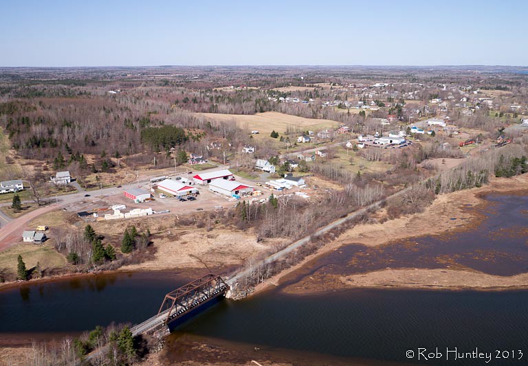
Aerial photograph of the Waugh River and Tatamagouche, Nova Scotia - Kite Aerial Photography (KAP)
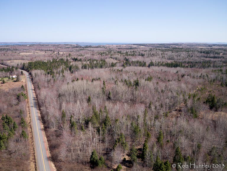
Aerial view of a road through the countryside near Tatamagouche, Nova Scotia - Kite Aerial Photography (KAP)
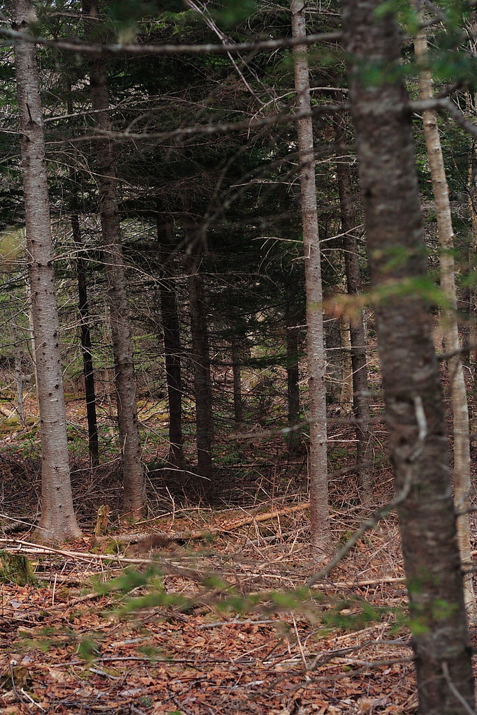
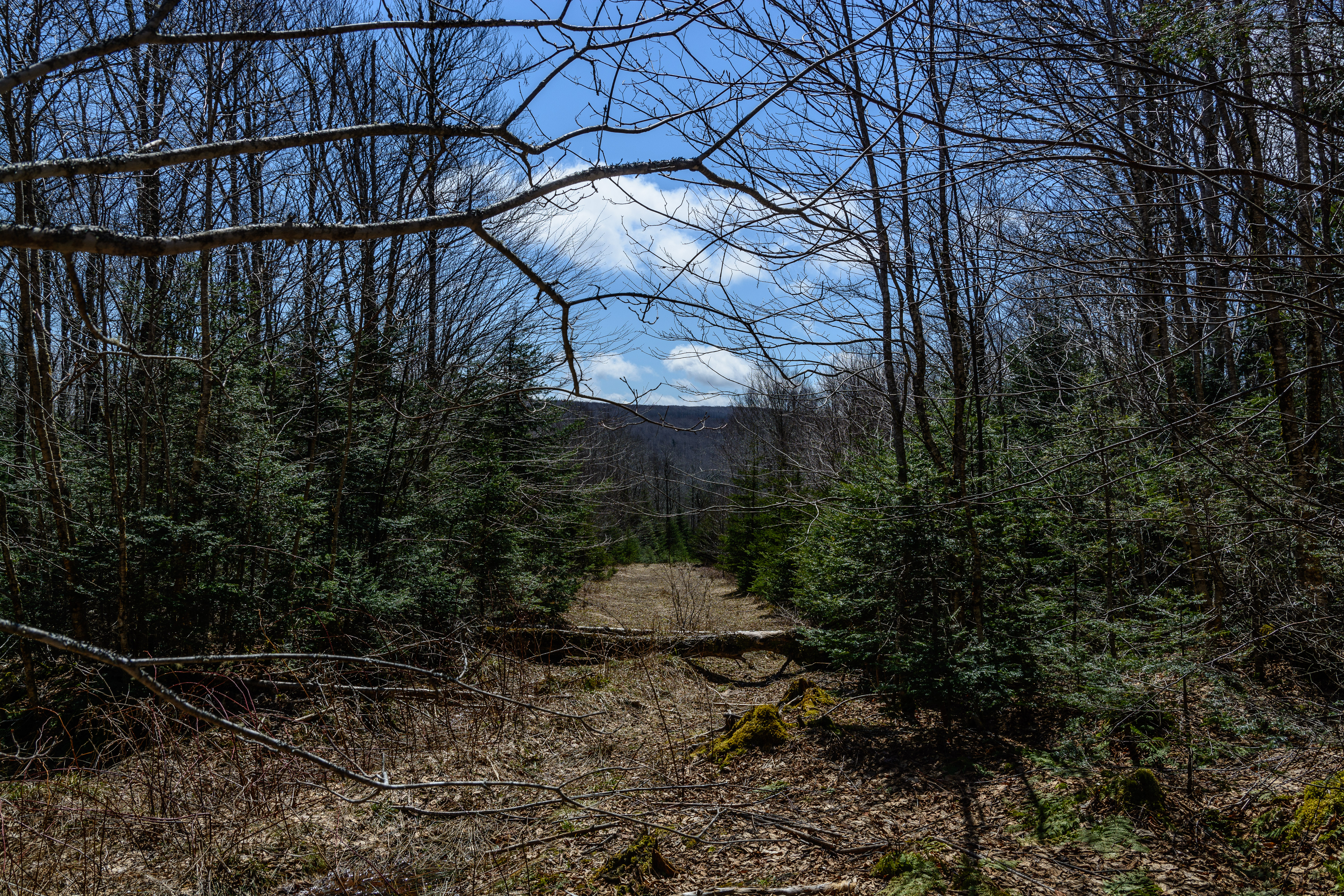
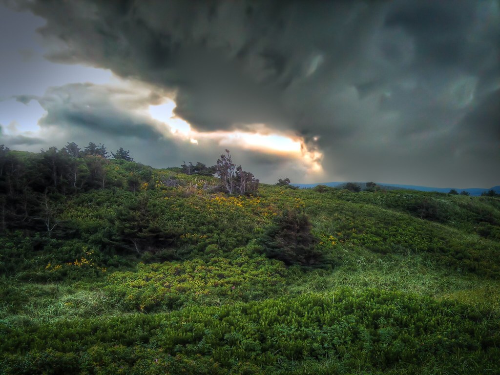
The Woods
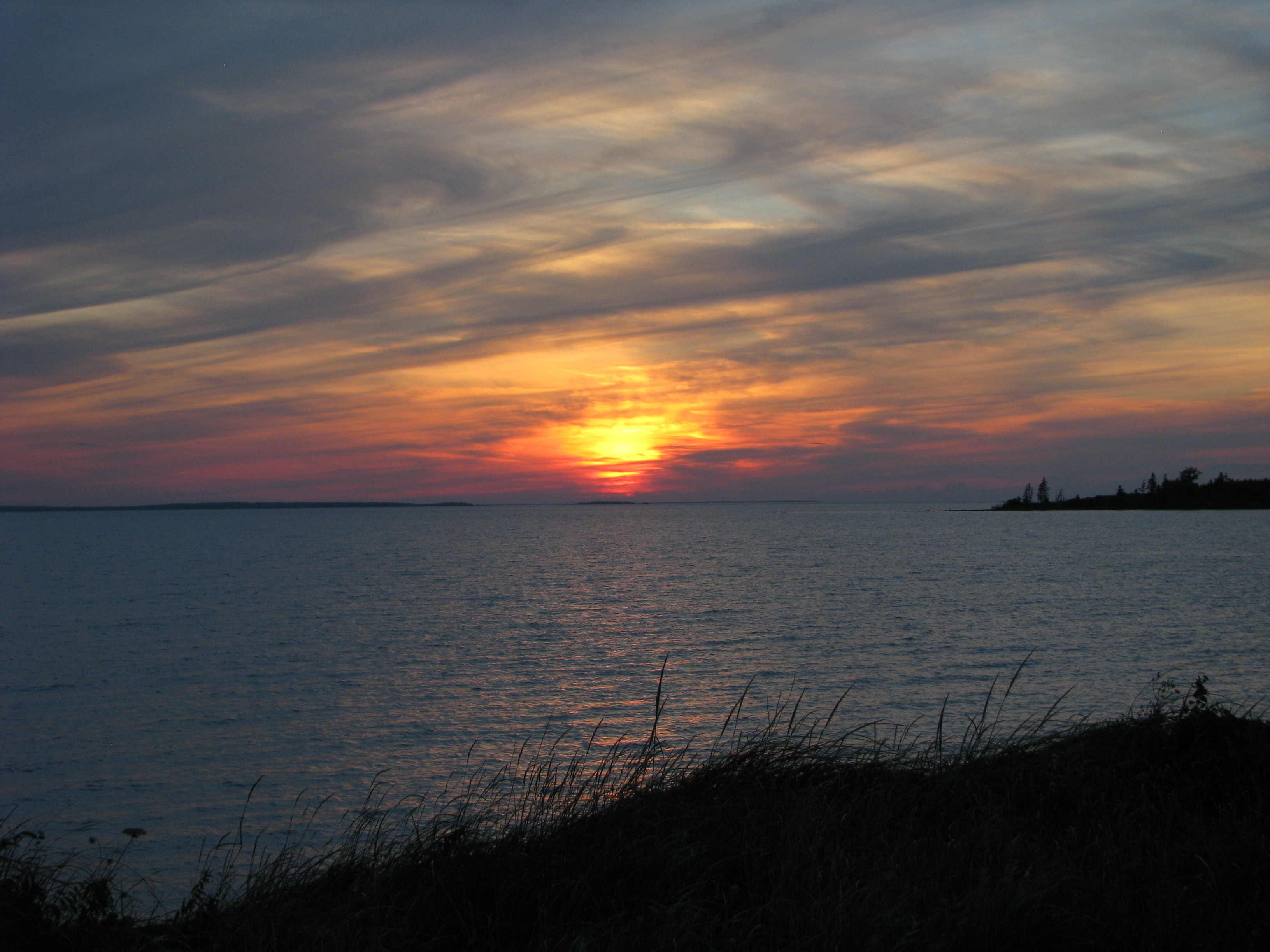
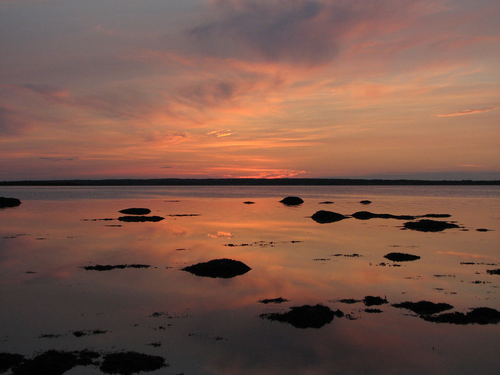
Cape John sunset
Mermaid and the Cow
Topographic Map of Nova Scotia, NS-, Colchester, Subd. B, NS B0K, Canada
Find elevation by address:

Places near Nova Scotia, NS-, Colchester, Subd. B, NS B0K, Canada:
68 College Grant Rd
Balmoral Mills
Matheson Brook Rd, Tatamagouche, NS B0K 1V0, Canada
1073 Upper River John Rd
Balmoral Rd, Tatamagouche, NS B0K 1V0, Canada
Balfron
The Falls
B0k 1v0
Waldegrave
River John
11 Alex Cox Rd, Tatamagouche, NS B0K 1V0, Canada
Kemptown Road
174 Roger Rd
6 Allen Rd, River John, NS B0K 1N0, Canada
805 Cape John Rd
Nuttby Mountain
Nuttby
NS-, Tatamagouche, NS B0K 1V0, Canada
Barrachois
Black River Road
Recent Searches:
- Elevation of Vista Blvd, Sparks, NV, USA
- Elevation of 15th Ave SE, St. Petersburg, FL, USA
- Elevation of Beall Road, Beall Rd, Florida, USA
- Elevation of Leguwa, Nepal
- Elevation of County Rd, Enterprise, AL, USA
- Elevation of Kolchuginsky District, Vladimir Oblast, Russia
- Elevation of Shustino, Vladimir Oblast, Russia
- Elevation of Lampiasi St, Sarasota, FL, USA
- Elevation of Elwyn Dr, Roanoke Rapids, NC, USA
- Elevation of Congressional Dr, Stevensville, MD, USA