Elevation of Balfron, NS B0K 1V0, Canada
Location: Canada > Nova Scotia > Colchester County > Colchester, Subd. B >
Longitude: -63.242875
Latitude: 45.662583
Elevation: 47m / 154feet
Barometric Pressure: 101KPa
Elevation Map:
Satellite Map:
Related Photos:

Happy New Year 2018!

Waterfall at Earltown

Waterfall at Earltown2

Aerial view of the Waugh River flowing past Tatamagouche, Nova Scotia - Kite Aerial Photography (KAP)

Aerial view of the town of Tatamagouche, Nova Scotia alongside the Waugh River - Kite Aerial Photography (KAP)

Aerial view of the town of Tatamagouche, Nova Scotia alongside the Waugh River - Kite Aerial Photography (KAP)

Aerial view of a road through the countryside near Tatamagouche, Nova Scotia - Kite Aerial Photography (KAP)
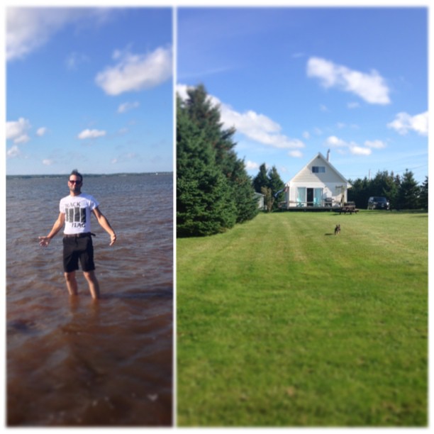
Atlantic Ocean / view of where we're staying from the Atlantic Ocean. #greasemarks #private beach #maritimerockabillyshakedown #nolittlemarks

Earltown Falls in Nova Scotia

Tatamagouche Trainstation Inn

Balmoral Grist Mill

Mouth of Waughs River, Tatamagouche
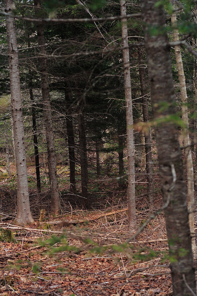
The Woods

Waughs River, Tatamagouche

Waughs River, Tatamagouche

Drysdale Falls...getting closer (see previous shot)

Drysdale Falls, NS, dressed in autumn colors

Balmoral Grist Mill

Upstream from the Mill

Balmoral Grist Mill

Red asphalt on Highway 6 heading east from Tatamagouche, Nova Scotia - Kite Aerial Photography (KAP)

Broken mirror

Aerial photograph of a barn in the countryside near Tatamagouche, Nova Scotia. The Waugh River is in the background. - Kite Aerial Photography (KAP)

Aerial photograph of a barn in the countryside near Tatamagouche, Nova Scotia. The Waugh River is in the background. - Kite Aerial Photography (KAP)
Topographic Map of Balfron, NS B0K 1V0, Canada
Find elevation by address:

Places in Balfron, NS B0K 1V0, Canada:
Places near Balfron, NS B0K 1V0, Canada:
B0k 1v0
Balmoral Rd, Tatamagouche, NS B0K 1V0, Canada
The Falls
Matheson Brook Rd, Tatamagouche, NS B0K 1V0, Canada
Waldegrave
11 Alex Cox Rd, Tatamagouche, NS B0K 1V0, Canada
Balmoral Mills
Barrachois
1073 Upper River John Rd
Nuttby Mountain
Nova Scotia 326
Nuttby
Malagash Point
NS-, Tatamagouche, NS B0K 1V0, Canada
68 College Grant Rd
Truro Rd, McCallum Settlement, NS B6L 6V5, Canada
Kemptown Road
Hobby Barn
2971 Ns-311
Upper North River
Recent Searches:
- Elevation of 72-31 Metropolitan Ave, Middle Village, NY, USA
- Elevation of 76 Metropolitan Ave, Brooklyn, NY, USA
- Elevation of Alisal Rd, Solvang, CA, USA
- Elevation of Vista Blvd, Sparks, NV, USA
- Elevation of 15th Ave SE, St. Petersburg, FL, USA
- Elevation of Beall Road, Beall Rd, Florida, USA
- Elevation of Leguwa, Nepal
- Elevation of County Rd, Enterprise, AL, USA
- Elevation of Kolchuginsky District, Vladimir Oblast, Russia
- Elevation of Shustino, Vladimir Oblast, Russia