Elevation of Upper River John Rd, Tatamagouche, NS B0K 1V0, Canada
Location: Canada > Nova Scotia > Colchester County > Colchester, Subd. B > Tatamagouche >
Longitude: -63.193605
Latitude: 45.711085
Elevation: 31m / 102feet
Barometric Pressure: 101KPa
Elevation Map:
Satellite Map:
Related Photos:

Waiting for spring

Happy New Year 2018!

Aerial view of the Waugh River flowing past Tatamagouche, Nova Scotia - Kite Aerial Photography (KAP)

Aerial view of the town of Tatamagouche, Nova Scotia alongside the Waugh River - Kite Aerial Photography (KAP)

Aerial view of the town of Tatamagouche, Nova Scotia alongside the Waugh River - Kite Aerial Photography (KAP)
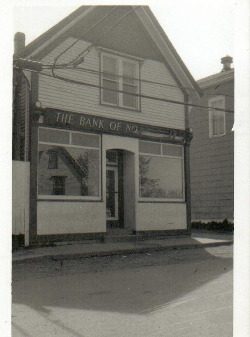
The Bank of No

Waterfall at Earltown

Aerial view of a road through the countryside near Tatamagouche, Nova Scotia - Kite Aerial Photography (KAP)

Snail's Pace
Atlantic Ocean / view of where we're staying from the Atlantic Ocean. #greasemarks #private beach #maritimerockabillyshakedown #nolittlemarks

Common Green Darner - Nova Scotia

Waterfall at Earltown2

Earltown Falls in Nova Scotia

Tatamagouche Trainstation Inn
Waughs River

Balmoral Grist Mill

The marsh from the boardwalk, Rushton's Beach Provincial Park, Nova Scotia

Drysdale Falls...getting closer (see previous shot)

Drysdale Falls, NS, dressed in autumn colors

Upstream from the Mill

Balmoral Grist Mill

Balmoral Grist Mill

River John

Red asphalt on Highway 6 heading east from Tatamagouche, Nova Scotia - Kite Aerial Photography (KAP)

Broken mirror

Aerial photograph of a barn in the countryside near Tatamagouche, Nova Scotia. The Waugh River is in the background. - Kite Aerial Photography (KAP)

Aerial photograph of a barn in the countryside near Tatamagouche, Nova Scotia. The Waugh River is in the background. - Kite Aerial Photography (KAP)

Aerial photograph of the Waugh River and Tatamagouche, Nova Scotia - Kite Aerial Photography (KAP)

Mermaid and the Cow
Topographic Map of Upper River John Rd, Tatamagouche, NS B0K 1V0, Canada
Find elevation by address:

Places near Upper River John Rd, Tatamagouche, NS B0K 1V0, Canada:
Waldegrave
11 Alex Cox Rd, Tatamagouche, NS B0K 1V0, Canada
Matheson Brook Rd, Tatamagouche, NS B0K 1V0, Canada
B0k 1v0
Balfron
Balmoral Mills
Nova Scotia 326
Balmoral Rd, Tatamagouche, NS B0K 1V0, Canada
Barrachois
The Falls
Malagash Point
68 College Grant Rd
805 Cape John Rd
River John
174 Roger Rd
Nuttby Mountain
Nuttby
6 Allen Rd, River John, NS B0K 1N0, Canada
NS-, Tatamagouche, NS B0K 1V0, Canada
Kemptown Road
Recent Searches:
- Elevation of Vista Blvd, Sparks, NV, USA
- Elevation of 15th Ave SE, St. Petersburg, FL, USA
- Elevation of Beall Road, Beall Rd, Florida, USA
- Elevation of Leguwa, Nepal
- Elevation of County Rd, Enterprise, AL, USA
- Elevation of Kolchuginsky District, Vladimir Oblast, Russia
- Elevation of Shustino, Vladimir Oblast, Russia
- Elevation of Lampiasi St, Sarasota, FL, USA
- Elevation of Elwyn Dr, Roanoke Rapids, NC, USA
- Elevation of Congressional Dr, Stevensville, MD, USA