Elevation of W South Range Rd, Salem, OH, USA

Location: United States > Ohio > Mahoning County > Goshen Township >

Longitude: -80.897034

Latitude: 40.9442049

Elevation: 374m / 1227feet

Barometric Pressure: 97KPa

Elevation Map:

elevation map of W South Range Rd, Salem, OH, USA

Satellite Map:

Satellite map of W South Range Rd, Salem, OH, USA

Related Photos:

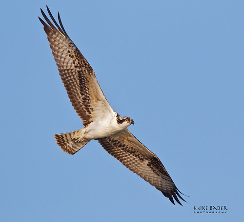
birds raptor birdsofprey birdphotography ohiowildlife ohiobirds berlinreservoir ohioosprey birdsohio berlinreservoirosprey
Soaring Young Osprey
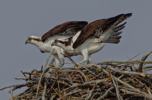
ohio birds raptors osprey avian birdsofprey ohiowildlife ohiobirds avianexcellence berlinreservoir ohioosprey
Osprey on the defense
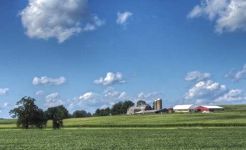
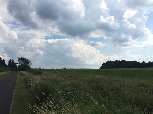
clouds rural farms tonemapped ruralohio columbianacounty ohiofarms ohiolandscapes
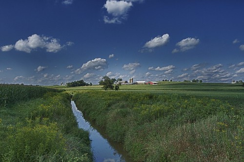
Ohio Farmscape HDR
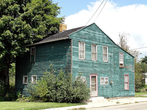
ohio house rural gone roadside columbiana leetonia upperohiovalley erjkprunczyk
Ohio | Leetonia
clouds rural country farms hdr highdynamicrange appleaperture photomatix ruralohio columbianacounty ohiofarms
Same Farm, Different View HDR
road bridge ohio abandoned photoshop river dead nikon rust closed steel egypt eerie haunted creepy spooky pony warren salem crybaby truss cs4 bellefontaine d80 ©2009christopherjbrocious
Crybaby Bridge Truss
road street bridge trees ohio abandoned photoshop dead nikon rust closed steel egypt eerie haunted creepy spooky salem crybaby cs4 d80 ©2009christopherjbrocious
Crybaby Bridge
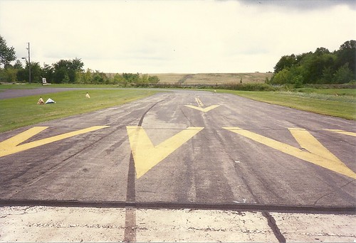
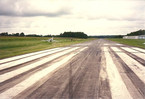
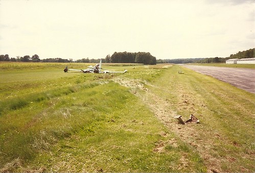
Cessna-310_crash_Sept-1-1994_0010
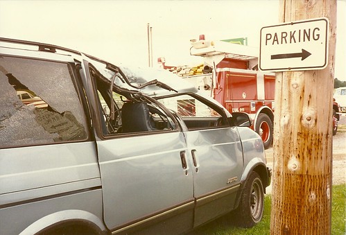
Cessna-310_crash_Sept-1-1994_0022
detail sideview 1955 Scott Atwater 3.6
square squareformat normal iphoneography instagramapp uploaded:by=instagram
Summer shadow
A Fall Trail
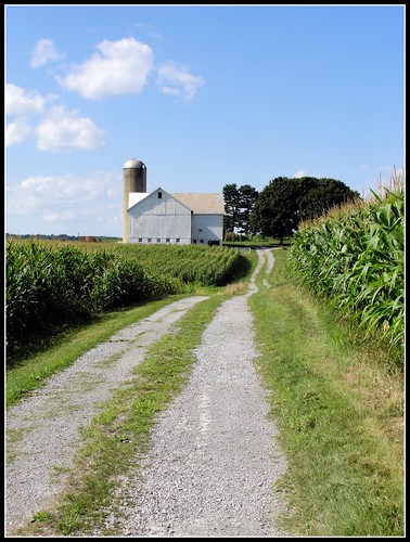
ohio barn corn farm driveway lane gravel farmstead washingtonville oh11 northlima mahoning oh7 oh14 erjkprunczyk
Ohio ~ Washingtonville - North Lima
uploaded:by=flickstagram instagram:photo=1228250794331880
Gone Fishin'
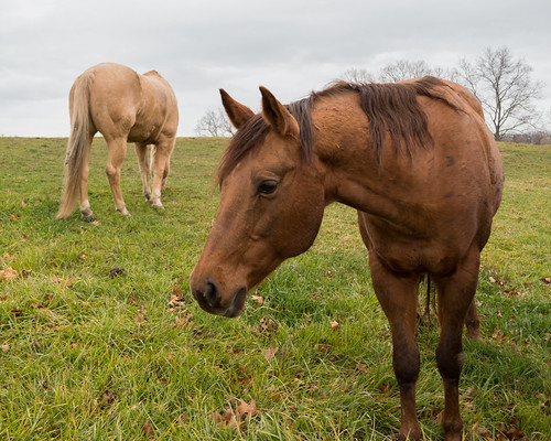
horse farm
B and Smokin
Cessna-310_crash_Sept-1-1994_0004
creek landscape pentax outdoor k5
Meander Creek in Spring
ohio red beautiful beauty barn rural landscape cool pretty mail farm awesome barns pouch farms tobacco nikond90
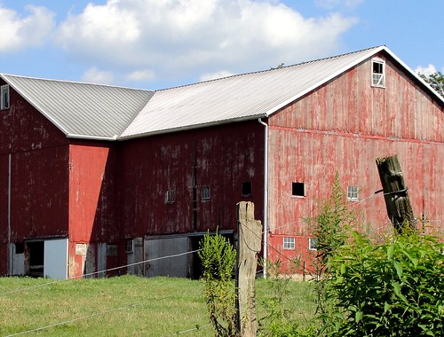
Mail Pouch
sunset ohio night clear deerfield berlinlake
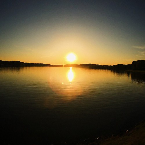
Berlin Lake - Deerfield, Ohio
After the Harvest
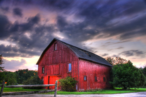
county wood school trees windows roof ohio red summer sky horse berlin night clouds barn fence landscape lost photography seth high woods nikon gate long driving moody dynamic cloudy random dusk farm exploring dramatic 9 adventure land medium sucks 24mm nikkor range extra hdr youngstown exp canfield basista explored mahoning extramedium expoesure
Hey, what do you got in that barn?
Cessna-310_crash_Sept-1-1994_0018
Great 30 mile ride today from Niles to Canfield and back!
square squareformat iphoneography instagramapp uploaded:by=instagram foursquare:venue=4c279629905a0f479d226560
Guilford Sunset ☀️????????
ohio barn rural farm country rustic farmstead washingtonville northlima mahoning oh14
Ohio ~ North Lima