Elevation of Hanover Township, OH, USA
Location: United States > Ohio > Columbiana County >
Longitude: -80.920773
Latitude: 40.7825262
Elevation: 386m / 1266feet
Barometric Pressure: 97KPa
Elevation Map:
Satellite Map:
Related Photos:

Nice View

First Look

Summer shadow

100_1089.JPG

SOOC it too me!

NS eastbound - Homeworth, Ohio

MPB 35-15-02, Columbiana County, Ohio

Wild Storm

100_1060.JPG

Breezy Hill Farm

100_1088.JPG

Farmhouses in the twilight
Looking North at Guilford Lake Boat Ramp 6-26-2003 Photo

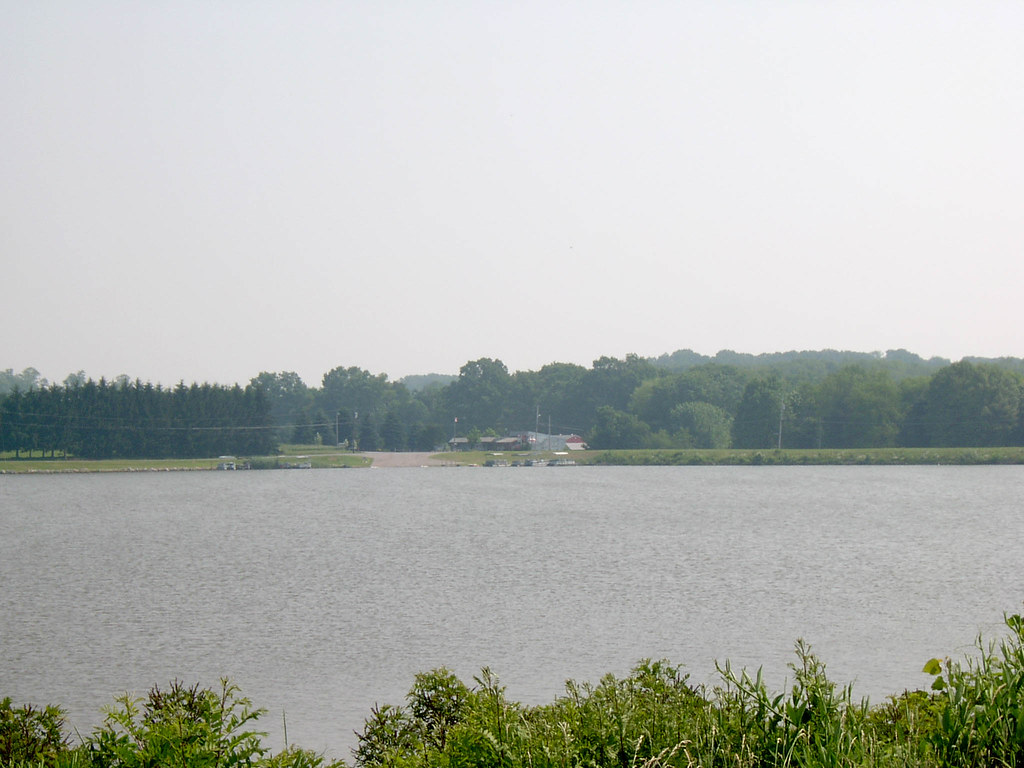
Looking Northwest from Guilford Lake Dam Image 2 6-26-2003 Photo

Looking West at Guilford Lake 6-26-2003 Photo

NS OCS

NS OCS

NS OCS

Salem Ohio 92

Salem Ohio 58

Salem Ohio 06

Salem Ohio 79
Topographic Map of Hanover Township, OH, USA
Find elevation by address:

Places in Hanover Township, OH, USA:
Places near Hanover Township, OH, USA:
OH-, East Rochester, OH, USA
Mccann Road
31731 Tower Rd
31731 Tower Rd
Butler Township
Georgetown Road
North Georgetown
Georgetown Rd, Beloit, OH, USA
Knox Township
351 Sharp Ave
Perry Township
S Pricetown Rd, Beloit, OH, USA
Smith Goshen Rd, Beloit, OH, USA
New Garden Ave, Minerva, OH, USA
Homeworth
12254 S Duck Creek Rd
Goshen Township
W South Range Rd, Salem, OH, USA
91 Union Ave SE, Minerva, OH, USA
2337 S Union Ave
Recent Searches:
- Elevation of Corso Fratelli Cairoli, 35, Macerata MC, Italy
- Elevation of Tallevast Rd, Sarasota, FL, USA
- Elevation of 4th St E, Sonoma, CA, USA
- Elevation of Black Hollow Rd, Pennsdale, PA, USA
- Elevation of Oakland Ave, Williamsport, PA, USA
- Elevation of Pedrógão Grande, Portugal
- Elevation of Klee Dr, Martinsburg, WV, USA
- Elevation of Via Roma, Pieranica CR, Italy
- Elevation of Tavkvetili Mountain, Georgia
- Elevation of Hartfords Bluff Cir, Mt Pleasant, SC, USA