Elevation of OH-, East Rochester, OH, USA
Location: United States > Ohio > Columbiana County > Hanover Township >
Longitude: -80.927609
Latitude: 40.7953295
Elevation: 388m / 1273feet
Barometric Pressure: 97KPa
Elevation Map:
Satellite Map:
Related Photos:

Nice View
My view today. Roof panel raising
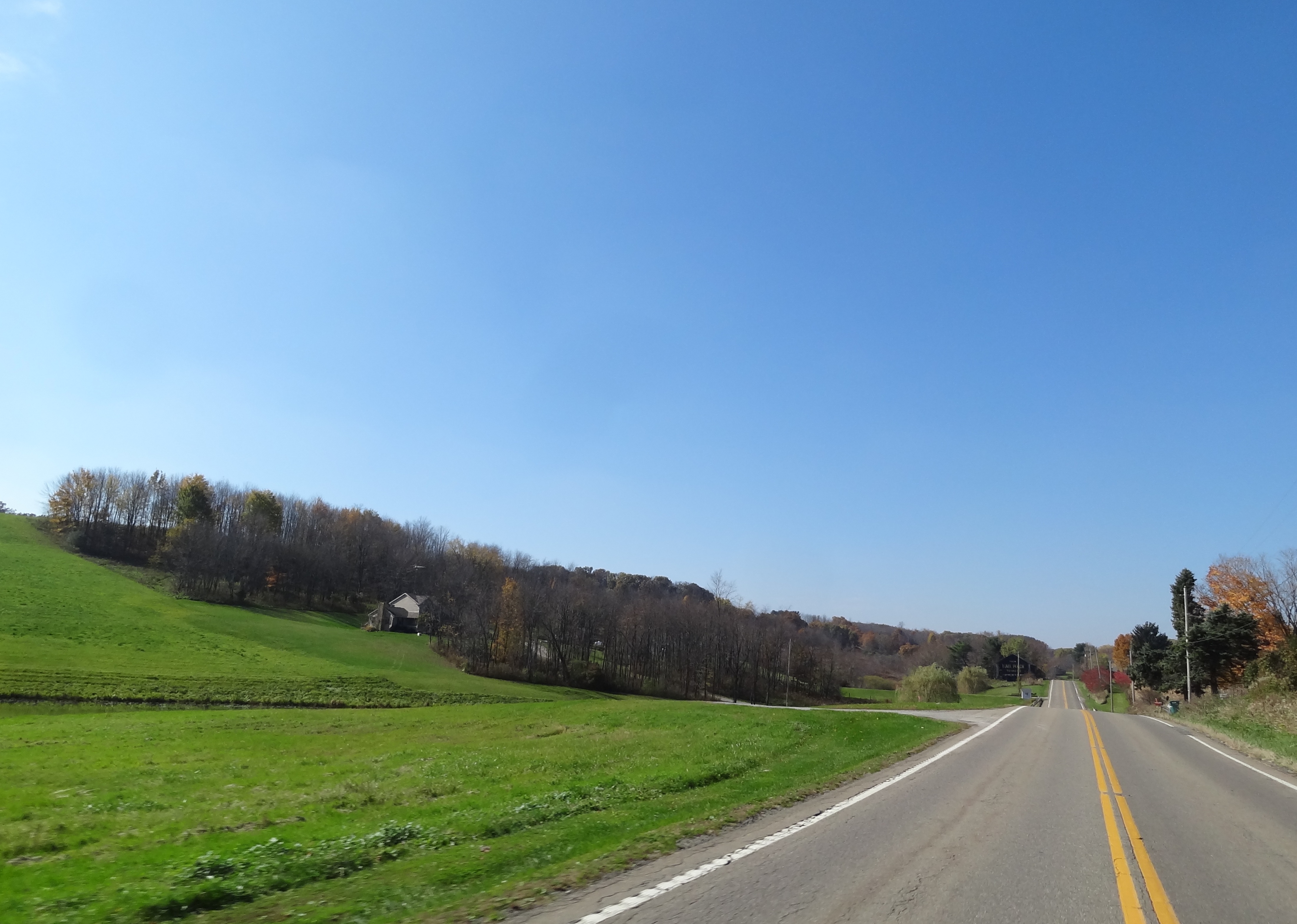
Stopped for Traffic
First Look

Ohio ~ Lisbon

Summer shadow

100_1089.JPG

NS eastbound - Homeworth, Ohio
Wild Storm
MPB 35-15-02, Columbiana County, Ohio
100_1060.JPG

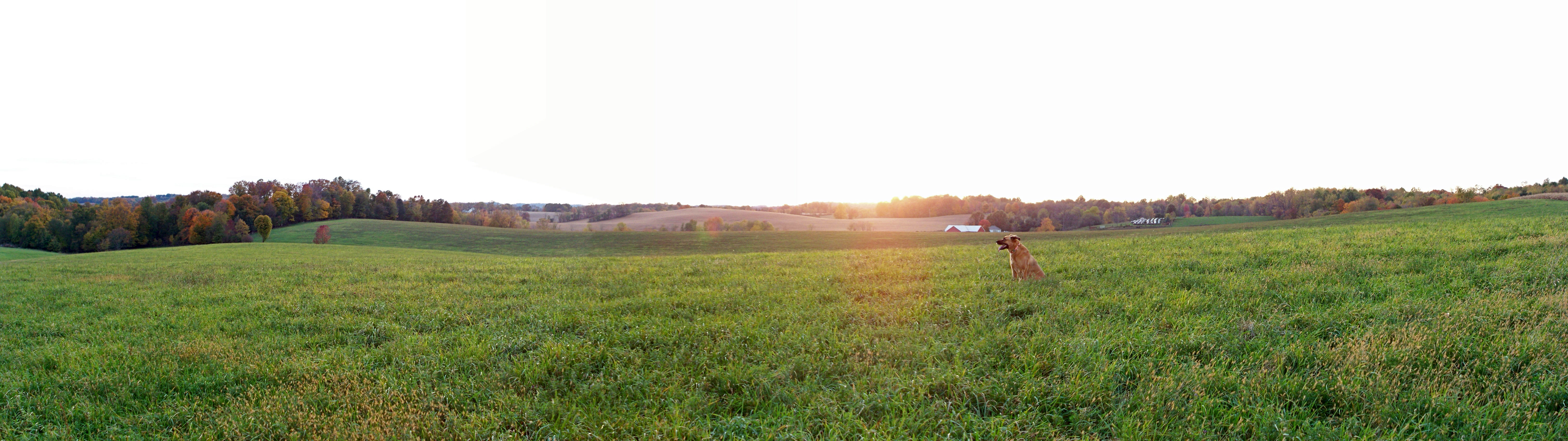
Breezy Hill Farm
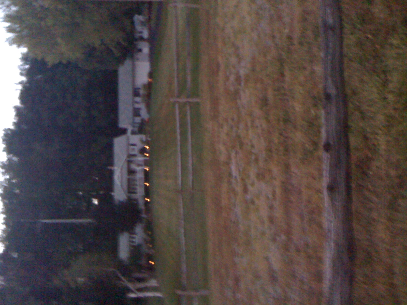
Farmhouses in the twilight
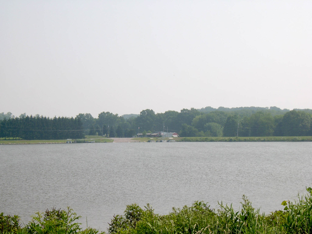
Looking North at Guilford Lake Boat Ramp 6-26-2003 Photo
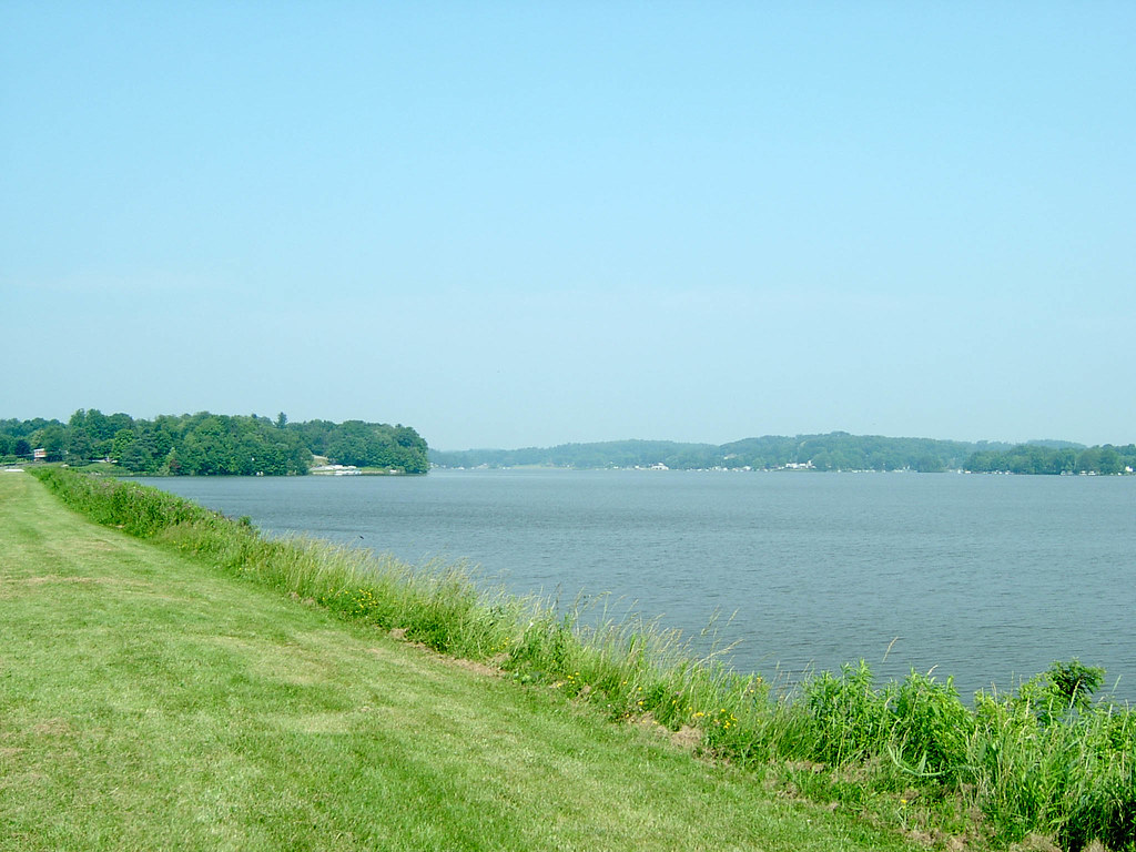
Looking Northwest from Guilford Lake Dam Image 2 6-26-2003 Photo
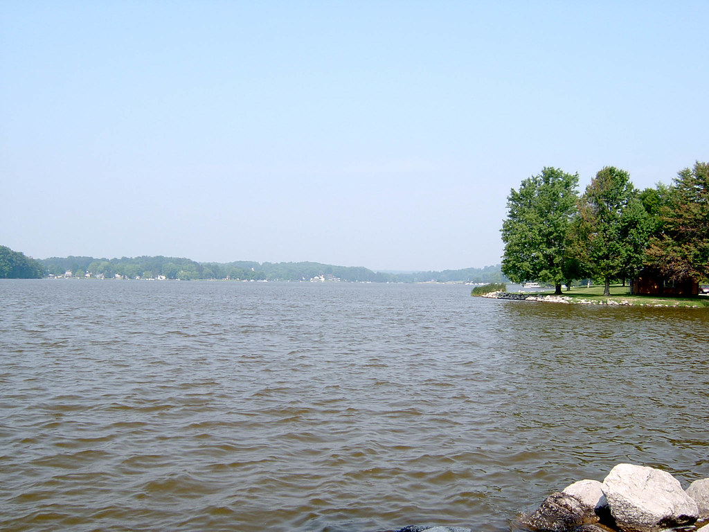
Looking West at Guilford Lake 6-26-2003 Photo

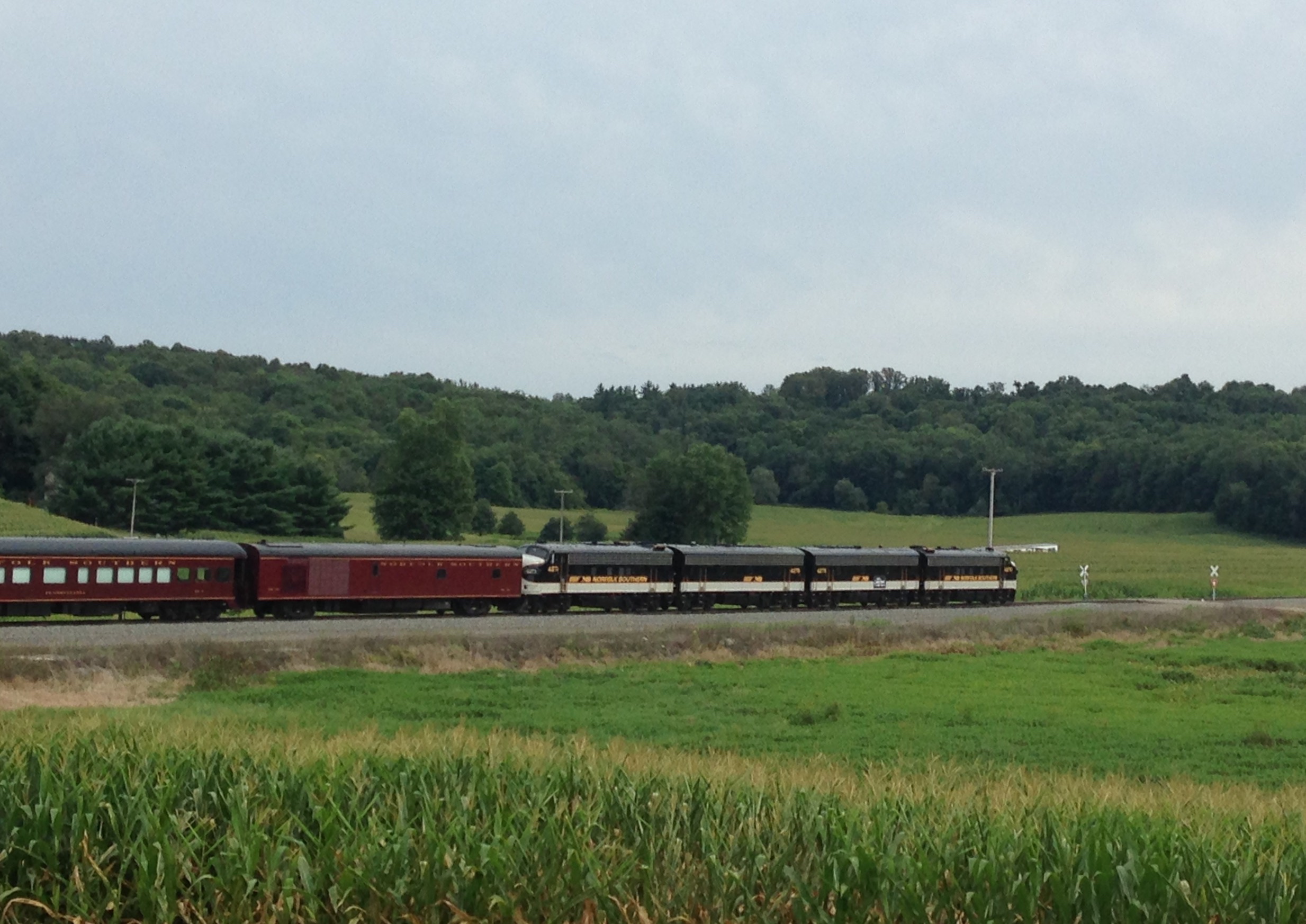
NS OCS
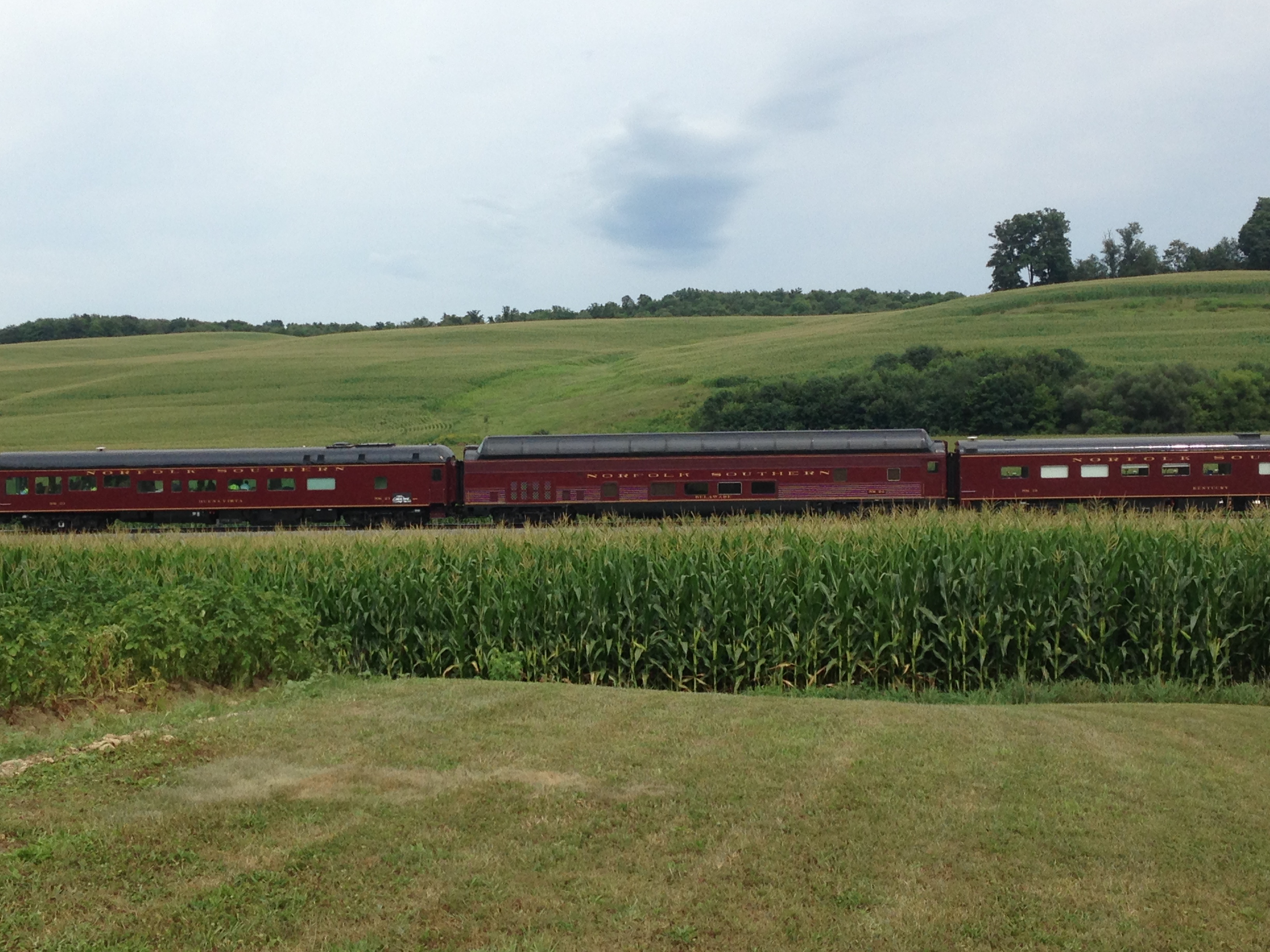
NS OCS
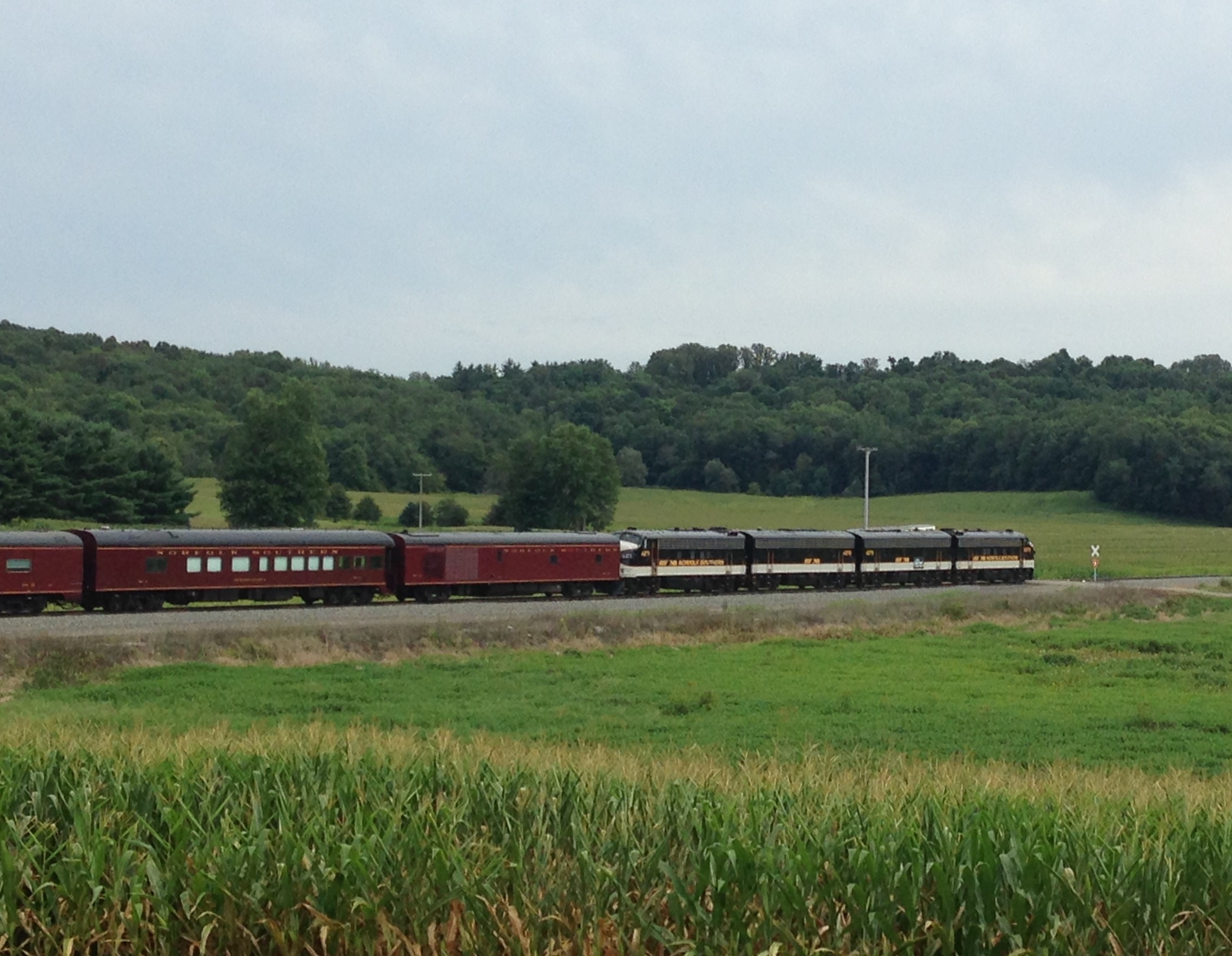
NS OCS
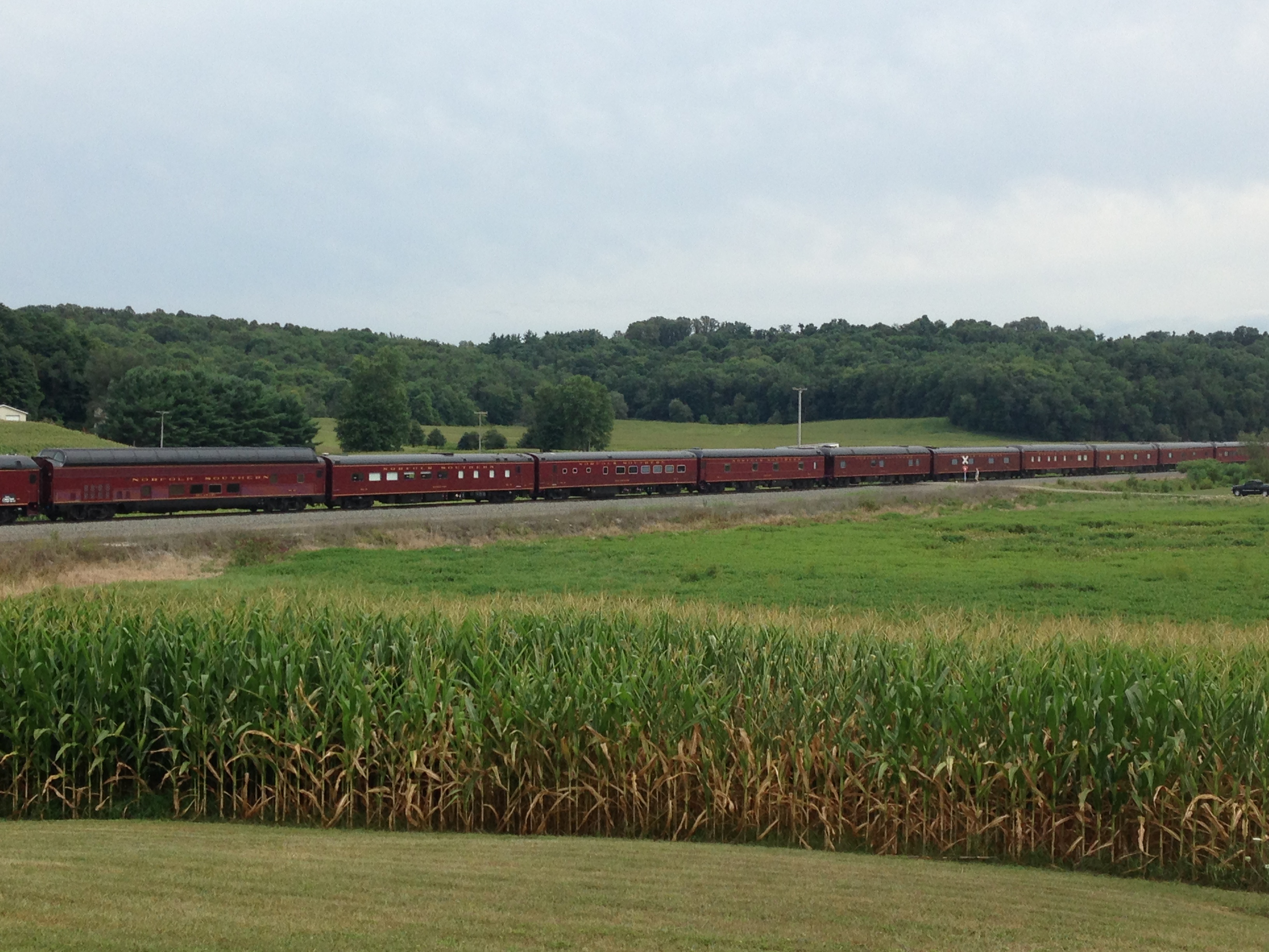
NS OCS
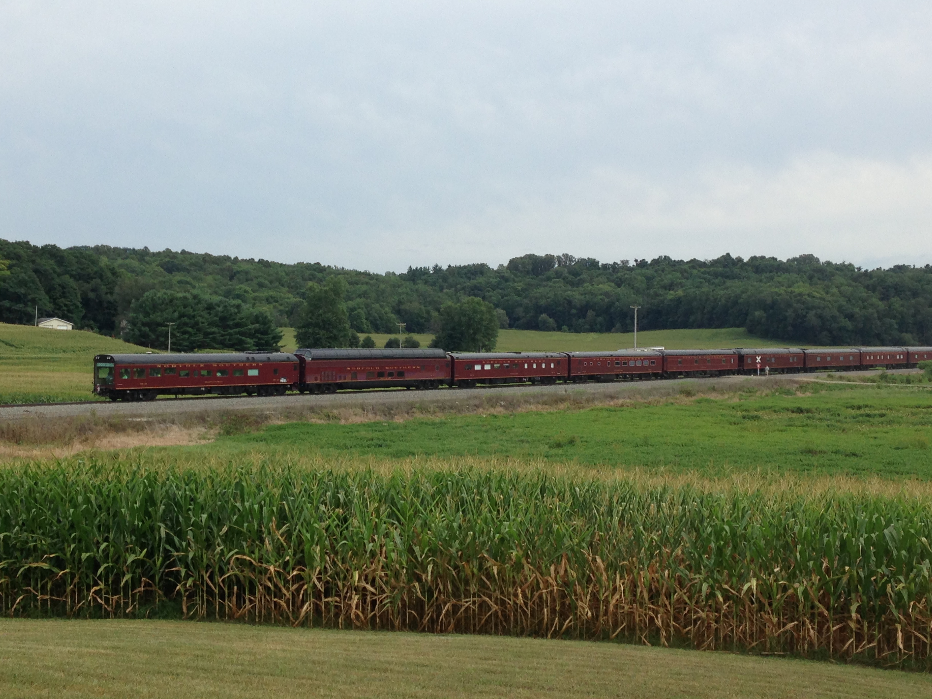
NS OCS
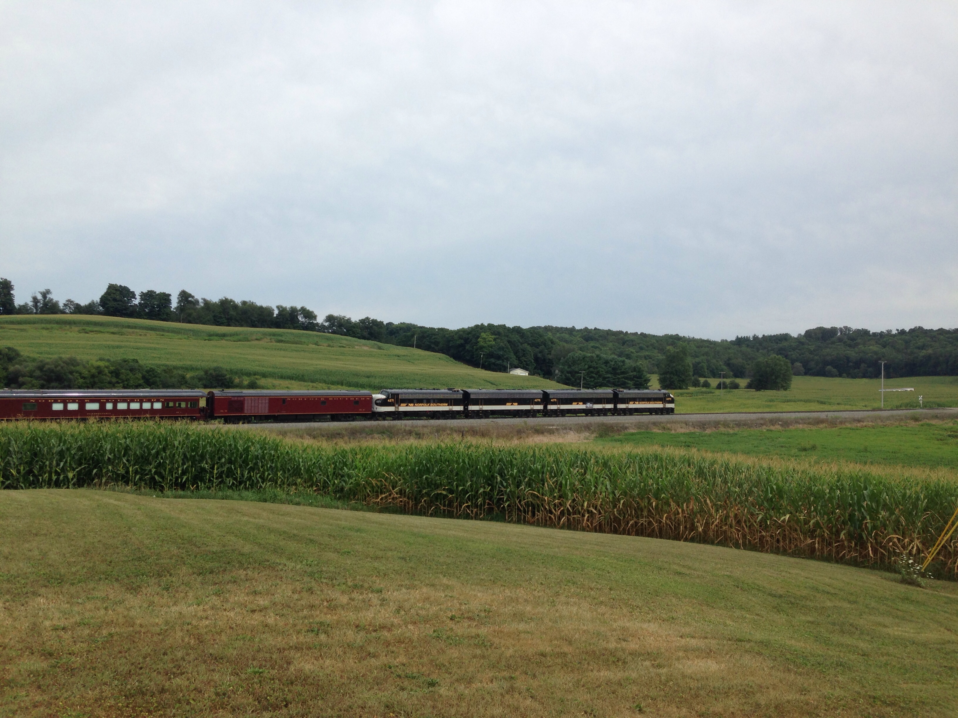
NS OCS
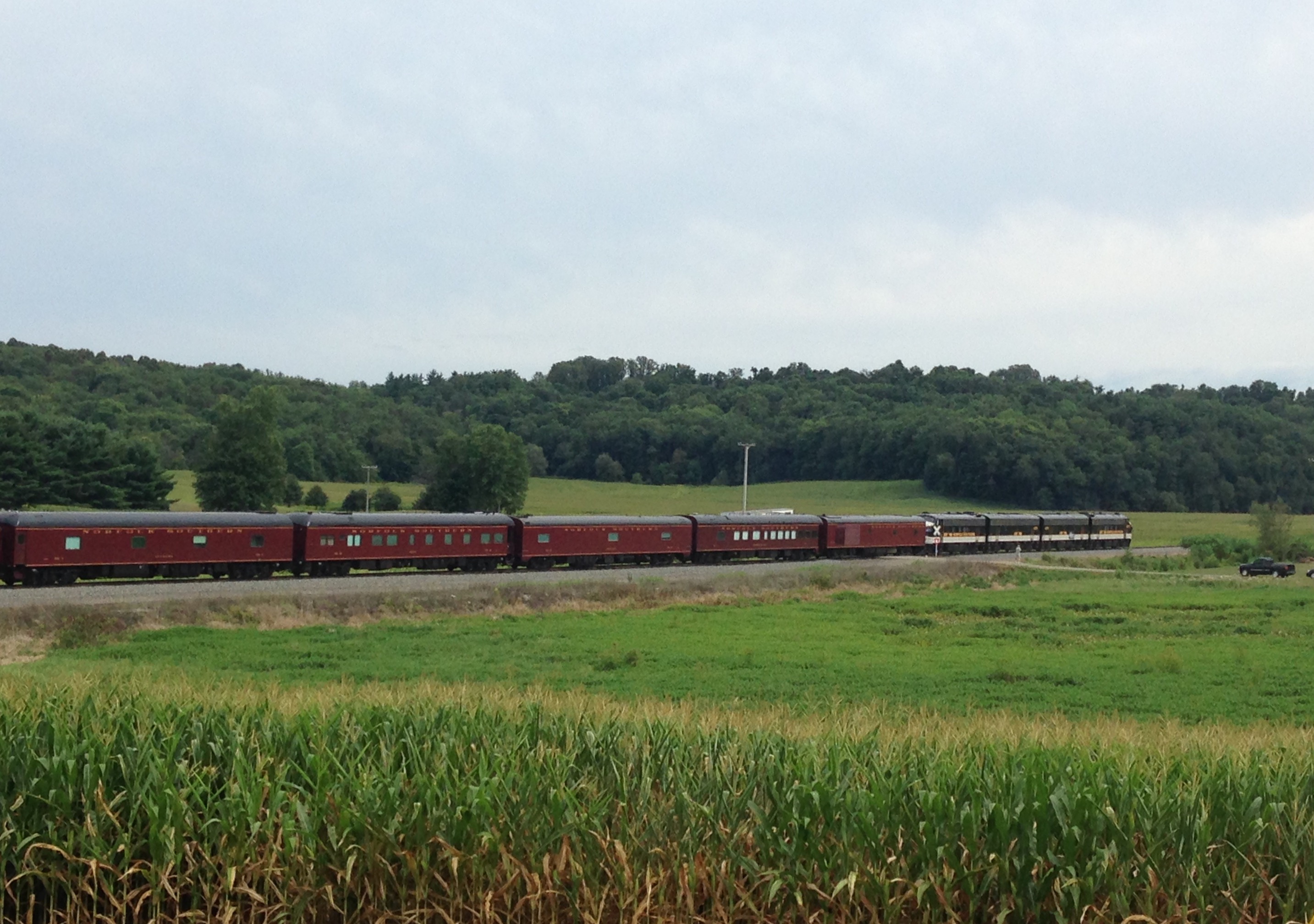
NS OCS
NS OCS
Topographic Map of OH-, East Rochester, OH, USA
Find elevation by address:

Places near OH-, East Rochester, OH, USA:
Hanover Township
Mccann Road
31731 Tower Rd
31731 Tower Rd
Butler Township
Georgetown Road
North Georgetown
Georgetown Rd, Beloit, OH, USA
Knox Township
351 Sharp Ave
S Pricetown Rd, Beloit, OH, USA
Perry Township
Smith Goshen Rd, Beloit, OH, USA
New Garden Ave, Minerva, OH, USA
Homeworth
12254 S Duck Creek Rd
Goshen Township
W South Range Rd, Salem, OH, USA
91 Union Ave SE, Minerva, OH, USA
2337 S Union Ave
Recent Searches:
- Elevation of Leguwa, Nepal
- Elevation of County Rd, Enterprise, AL, USA
- Elevation of Kolchuginsky District, Vladimir Oblast, Russia
- Elevation of Shustino, Vladimir Oblast, Russia
- Elevation of Lampiasi St, Sarasota, FL, USA
- Elevation of Elwyn Dr, Roanoke Rapids, NC, USA
- Elevation of Congressional Dr, Stevensville, MD, USA
- Elevation of Bellview Rd, McLean, VA, USA
- Elevation of Stage Island Rd, Chatham, MA, USA
- Elevation of Shibuya Scramble Crossing, 21 Udagawacho, Shibuya City, Tokyo -, Japan