Elevation of S Duck Creek Rd, Salem, OH, USA
Location: United States > Ohio > Mahoning County > Goshen Township >
Longitude: -80.907787
Latitude: 40.941083
Elevation: 377m / 1237feet
Barometric Pressure: 97KPa
Elevation Map:
Satellite Map:
Related Photos:

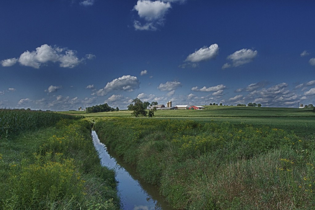
Ohio Farmscape HDR

A Fall Trail

Mail Pouch

Gone Fishin'
Same Farm, Different View HDR

Meander Creek in Spring

Berlin Lake - Deerfield, Ohio

After the Harvest

Hey, what do you got in that barn?
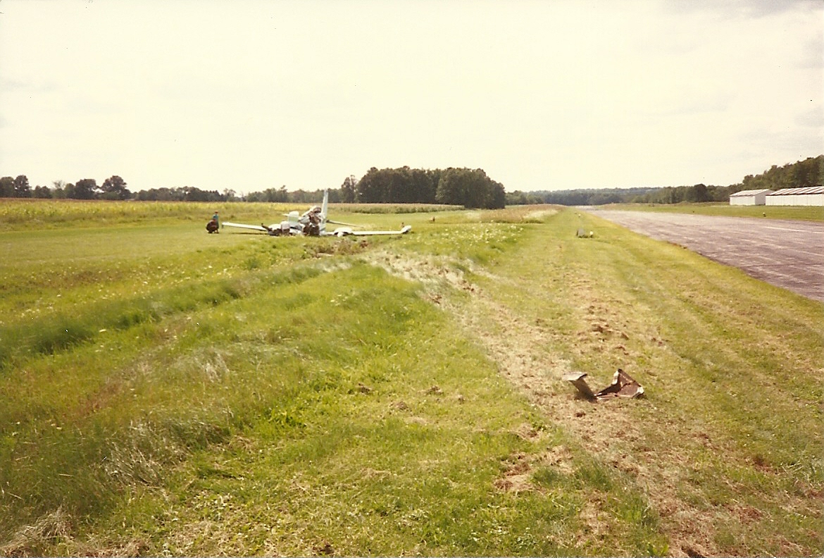
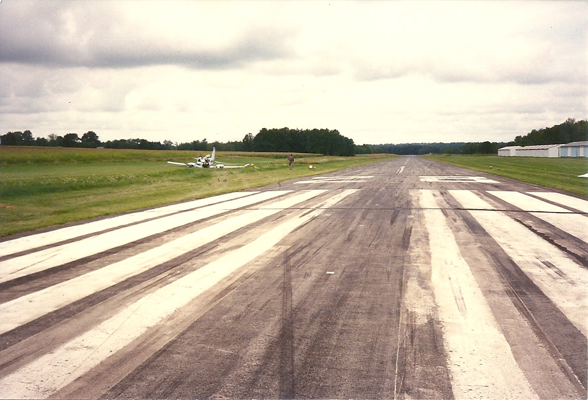
Cessna-310_crash_Sept-1-1994_0018
Great 30 mile ride today from Niles to Canfield and back!

Waterworth Memorial Park 2016 0079 ds

Waterworth Memorial Park 2016 0080 ds

Waterworth Memorial Park 2016 0081 ds

Waterworth Memorial Park 2016 0231 ds

Waterworth Memorial Park 2016 0232 ds

Waterworth Memorial Park 2016 0233 ds

Waterworth Memorial Park 2016 0236 ds

Waterworth Memorial Park 2016 0237 ds
B and Smokin
Cessna-310_crash_Sept-1-1994_0004
Topographic Map of S Duck Creek Rd, Salem, OH, USA
Find elevation by address:

Places near S Duck Creek Rd, Salem, OH, USA:
W South Range Rd, Salem, OH, USA
Goshen Township
S Pricetown Rd, Beloit, OH, USA
Perry Township
351 Sharp Ave
Smith Goshen Rd, Beloit, OH, USA
Butler Township
31731 Tower Rd
31731 Tower Rd
Knox Township
Georgetown Road
North Georgetown
Georgetown Rd, Beloit, OH, USA
OH-, East Rochester, OH, USA
Hanover Township
Mccann Road
Homeworth
125 E Simpson St
Alliance
50 W Summit St, Alliance, OH, USA
Recent Searches:
- Elevation of Leguwa, Nepal
- Elevation of County Rd, Enterprise, AL, USA
- Elevation of Kolchuginsky District, Vladimir Oblast, Russia
- Elevation of Shustino, Vladimir Oblast, Russia
- Elevation of Lampiasi St, Sarasota, FL, USA
- Elevation of Elwyn Dr, Roanoke Rapids, NC, USA
- Elevation of Congressional Dr, Stevensville, MD, USA
- Elevation of Bellview Rd, McLean, VA, USA
- Elevation of Stage Island Rd, Chatham, MA, USA
- Elevation of Shibuya Scramble Crossing, 21 Udagawacho, Shibuya City, Tokyo -, Japan